Mürren to Gimmelwald Hike: Distance, Time and Route
The Mürren to Gimmelwald hike is a short, mostly downhill walk on a high terrace above Lauterbrunnen Valley. Here is the route, distance, time and access.
On this page
The Mürren to Gimmelwald walk suits hikers who want big valley views without a big day out. It links two car-free villages on a sunny terrace high above Lauterbrunnen Valley, mostly descending, and takes roughly one to one and a half hours at an easy pace. Treat it as a half-day outing that pairs well with a cable car ride or a longer day in the Jungfrau region.
Mürren to Gimmelwald: a short terrace walk above Lauterbrunnen Valley
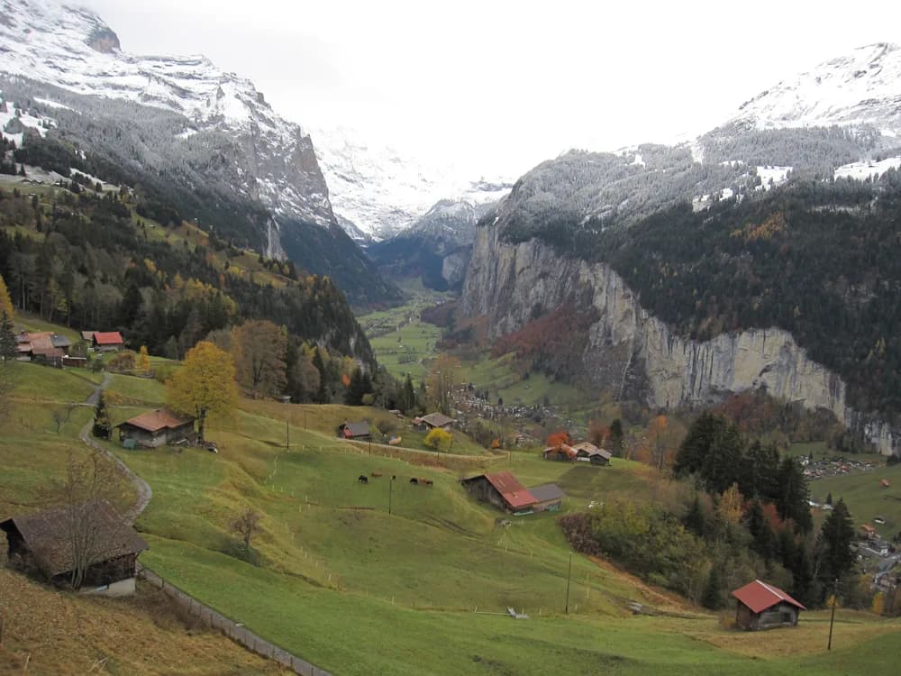
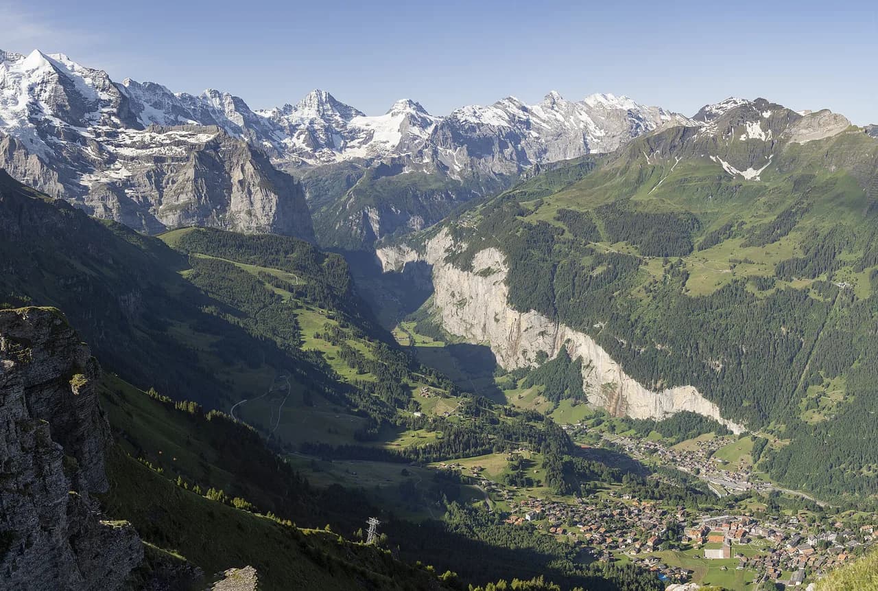
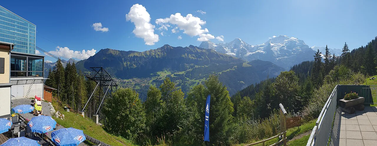
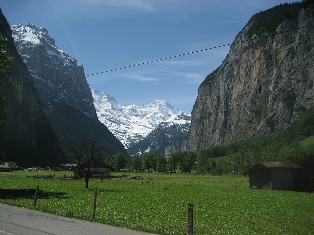
Both villages sit on a shelf of meadow and forest on the west side of the valley, facing the Eiger, Mönch and Jungfrau across the trough. The walking is gentle in grade and generous in outlook: you look down on Lauterbrunnen's waterfall cliffs and across to the snow peaks for most of the route. Because the path descends overall, the Mürren-to-Gimmelwald direction is the relaxed choice and the return leg is the workout.
This is not a summit hike and needs no special kit beyond boots with grip and a rain layer. It works well on days when cloud hides the high peaks, since the valley and terrace views stay open. Hikers with limited time often walk it one way and ride back up rather than retracing the terrace.
Where the trail starts and ends in Mürren and Gimmelwald
Start at Mürren station, the terminus of the mountain railway from Grütschalp, and follow the signed path south through the village before it settles onto the terrace. The walk finishes among the chalets of Gimmelwald, where the cable car down to Stechelberg picks up. Neither village admits private cars, so your start and finish are fixed by the rail and cable network rather than by a car park.
Signage at junctions names the next village and the walking time, which makes navigation straightforward in clear weather. Carry a paper or offline map anyway, because the network of farm tracks and ski pistes can look similar when mist drops. The local tourism office keeps valley maps that show the village paths and lift points together.
Getting to the trailhead: cable car and railway via Grütschalp, and the Schilthornbahn
From Lauterbrunnen, the standard approach to Mürren is the cable car to Grütschalp followed by the mountain railway along the terrace to Mürren. The alternative is the Schilthornbahn from Stechelberg up to Gimmelwald and on to Mürren, which puts you at the finish first and lets you walk the terrace in the opposite, uphill direction. Both are scenic in their own right: the railway hugs the terrace, the cable car climbs the valley wall.
If you plan to ride lifts several times in a day, compare single tickets with a regional pass before buying, and confirm the day's first and last connections at the station. Lifts here are seasonal infrastructure, and the published operating status is the reliable source for whether a section is running. Lauterbrunnen Tourismus lists the current timetables and any maintenance gaps on its own pages.
Parking belongs at Lauterbrunnen or Stechelberg, at the valley stations, because the villages above are car-free. Arriving by train from Interlaken is simpler than driving, and the valley bus links Lauterbrunnen with Stechelberg for the Schilthornbahn.
Distance, ascent and walking time
Published figures for the terrace path vary with the exact line taken: one route description gives about 2.2 miles (roughly 3.5 km) with only about 13 ft (4 m) of ascent and a time of one to one and a half hours, which reflects the gentle, mostly descending character of the walk. Another account of the Mürren-Gimmelwald trail treats it as a roughly 3 km (1.9 mi) path worth taking slowly. Plan on one to one and a half hours of walking downhill between the two villages and add photo stops.
Reversed, from Gimmelwald up to Mürren, expect the same distance with a steady climb that takes noticeably longer than the descent. There is no exposure and no scrambling on the terrace path, so the uphill direction is a matter of fitness rather than technique. Hikers with knees that dislike descents often prefer riding up and walking down.
Route description: Mürren station, the terrace path, and the descent into Gimmelwald
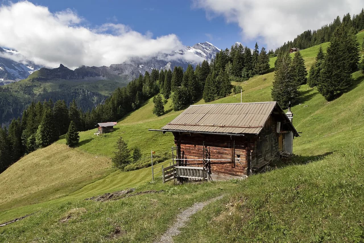
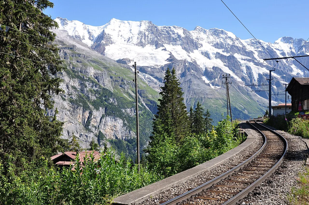
Leave Mürren station heading south through the village, past hotels and chalets, until the buildings give way to meadow and the path begins to lose height. The first stretch traverses open ground with the valley wall on your left and the big peaks ahead; benches along the way make good rest stops. Keep to the signed village path where farm tracks branch off toward the ski slopes.
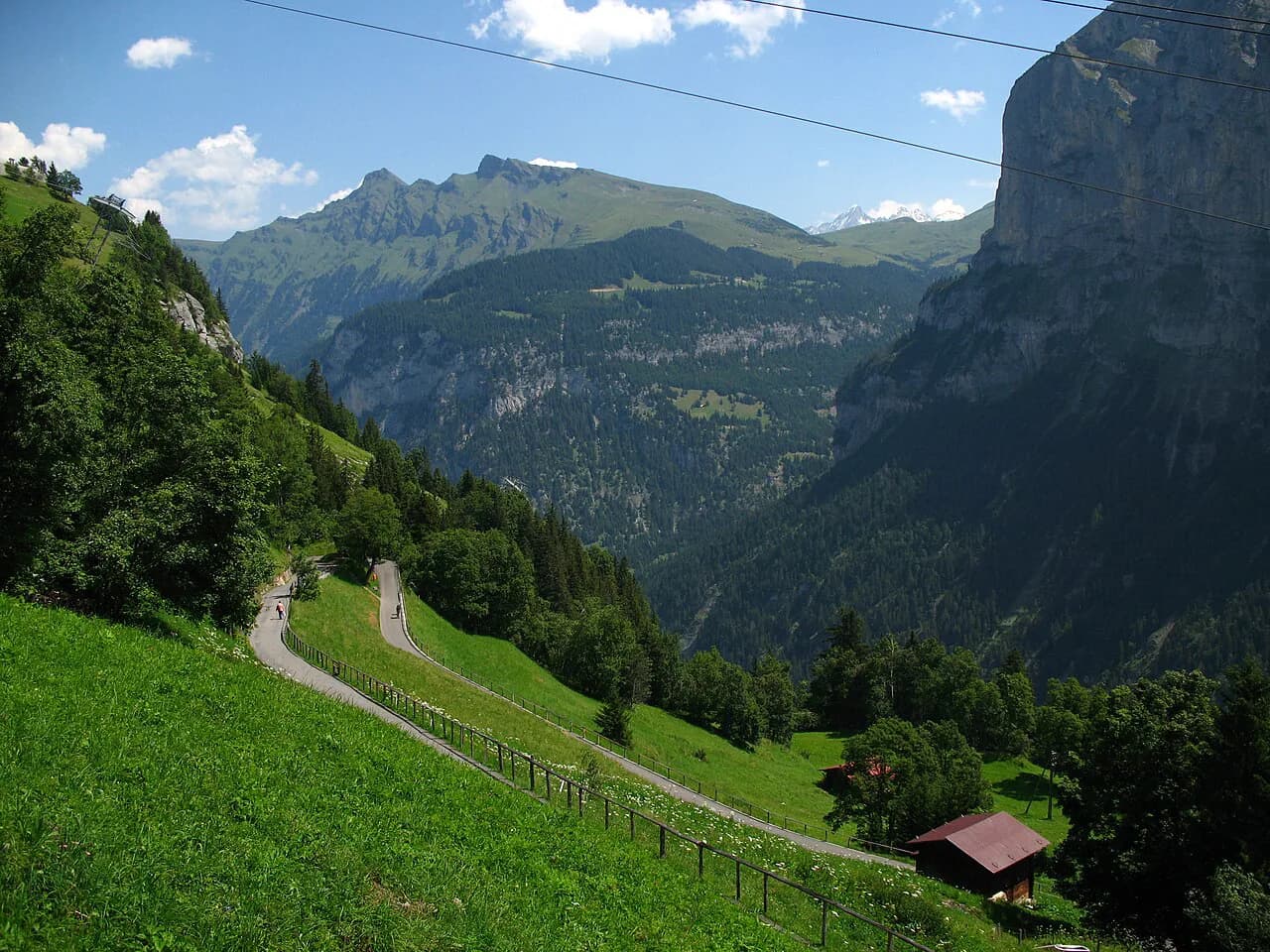
As you approach Gimmelwald the path steepens briefly through trees and pasture before entering the village. Farm gates and fences along the way are there for livestock, so close anything you open and give cows a wide berth. The final drop into Gimmelwald delivers the cable-car station, where you decide between riding down to Stechelberg or continuing on foot.
The route is well within the reach of families and casual walkers, which is why it fills a short day rather than a full one. If you want a longer traverse on the same terrace, the North Face Trail, Mürren adds a loop with more climbing and more time above the valley.
Walking it uphill from Gimmelwald to Mürren
Starting from Gimmelwald means arriving by cable car from Stechelberg and climbing steadily to Mürren. The gradient is constant rather than steep, and the reward is that the best views stay in front of you for the whole climb. Allow more time uphill than downhill, especially with a pack or in warm afternoon sun.
This direction suits hikers staying overnight in Gimmelwald, where the village is small and quiet, and it also works as a link if you have ridden up the Schilthornbahn from the valley. Finish in Mürren with a drink on a terrace before the railway back to Grütschalp.
The Mürren to Gimmelwald via ferrata as a separate, geared option
A via ferrata also connects the two villages, following ladders, steps and clipped cable on the cliff edge above the valley rather than the meadow terrace. One description puts it at about 2.2 km (1.4 mi) with roughly 300 m (about 980 ft) of ascent and around two hours, with harnesses clipped to a fixed wire throughout. It is a genuinely exposed scramble in places, so treat it as a different outing from the walk, not a variant of it.
Gear is essential: a commercial harness set with via ferrata lanyard, helmet and gloves, plus shoes that grip metal. Rental is available in Mürren near the station at the sports chalet past Hotel Edelweiss, a short walk from the train. Hikers new to via ferrata should go with a guide or choose a shorter introductory route first.
For a fuller picture of the valley's iron routes and how they compare in length and commitment, the Lauterbrunnen via ferrata guide sets out the options. Weather decides the day here: wet metal and rock make the cliff sections a poor choice, so keep the terrace walk as the fallback.
When to go: season, snow cover and afternoon weather
The terrace walk is a summer and early-autumn outing, when the pastures are clear and the railway and cable cars are running their warm-season service. Snow can linger on shaded sections of the path and on the descent into Gimmelwald well into spring, and early autumn snowfall can close the higher lines. Check the day's lift status before committing if you are travelling at the edges of the season.
Afternoon thunderstorms build quickly in the Bernese Oberland, and the terrace offers little shelter once you are between the villages. Start in the morning, watch the cloud over the peaks, and turn back toward a station if thunder begins. On cloudy days the walk still delivers valley views, which makes it a sensible choice when the summits are hidden.
Facilities and water in Mürren and Gimmelwald
Mürren has the larger choice of shops, cafés and hotels, and it is the place to buy lunch or fill bottles before setting out. Gimmelwald is small, with a farm-based economy and few services, so do not count on resupply at the finish. Water points between the villages are limited, so carry what you need for the walk.
Both villages make good bases for a valley stay: Mürren for the balcony view and the railway, Gimmelwald for quiet and the cable car down to Stechelberg. Wengen and Lauterbrunnen work as alternatives if you want more restaurants or a valley-floor position, and if you are weighing a stay across the valley, hiking in Grindelwald offers a comparable mix of lifts and terrace trails.
Extending the day: Gimmelwald down to Stechelberg and the valley bus
From Gimmelwald you can continue on foot down to Stechelberg on the valley floor, where the road and bus stop connect back to Lauterbrunnen. The descent is steep in places and adds a real climb of the legs, but it turns a short terrace walk into a satisfying half day. Alternatively, ride the cable car down and save your knees for the valley floor.
Once in the valley, the Waterfall path toward Staubbach Falls is an easy add-on if you still have daylight. The Lauterbrunnen valley hike covers the floor route and its falls in more detail.
Where to base yourself: Mürren, Gimmelwald, Wengen or Lauterbrunnen
Choose Mürren if the terrace walk and the cable car network are the heart of your trip and you want a village with services at the trailhead. Choose Gimmelwald if you prefer a smaller, quieter base and don't mind climbing to reach the higher walks. Wengen suits hikers who want the Männlichen and Kleine Scheidegg side of the valley first, with longer rambles from the doorstep.
Lauterbrunnen is the pragmatic base for a short visit: the valley station, the bus and the waterfalls are all at hand, and you ride up to the terrace for the day. From there, the wider hiking in Lauterbrunnen spreads across both valley walls, from waterfall paths to high balcony trails.
Plan Your Visit
Decide the direction first: ride up to Mürren and walk down to Gimmelwald for the easy day, or start in Gimmelwald if you want the climb. Buy the lift tickets you need, check the day's operating status for the railway and cable cars, and keep the terrace path as the plan when cloud sits on the peaks. Pack water in Mürren, wear boots with grip, and give yourself time to enjoy the view down the valley.
Frequently Asked Questions
How long is the hike from Mürren to Gimmelwald?
Published figures vary with the exact line taken: about 2.2 miles (roughly 3.5 km) with only a few metres of ascent according to one trail listing, and around 3 km (1.9 mi) in another description. Allow one to one and a half hours of walking in the downhill direction, plus stops.
How do I get from Mürren to Gimmelwald?
Walk the signed terrace path south from Mürren station, descending through meadow and trees into Gimmelwald. Alternatively, ride the railway from Mürren to Grütschalp and Lauterbrunnen, or the Schilthornbahn down from Mürren toward Gimmelwald and Stechelberg.
Can you hike from Gimmelwald to Mürren?
Yes. The same terrace path links the two villages in either direction, and the Gimmelwald-to-Mürren direction is a steady climb that takes longer than the descent. Hikers staying overnight in Gimmelwald often use it as their link up to the higher walks.
Is the Mürren to Gimmelwald hike easy?
It is an easy, mostly descending walk on well-trodden paths with no exposure or scrambling and the option to ride lifts back. The via ferrata between the villages is a separate, geared option with ladders and cliff-edge cable on the valley wall.
How do I get back to Lauterbrunnen from Gimmelwald?
Ride the cable car from Gimmelwald down to Stechelberg, then take the valley bus to Lauterbrunnen. You can also walk down to Stechelberg on foot before taking the bus.
Can you walk the Mürren to Gimmelwald route in winter?
Published route descriptions focus on the summer and early-autumn season, when the terrace is clear. Snow, ice and lift maintenance can change what is available in winter, so check current conditions.
Sources
Trail notes for your next trip
Optional updates when we add or revise hiking guides.
You might also like
Continue reading
More guides you'll find useful