Hiking in Tenerife: Best Trails by Region and Difficulty
Plan hiking in Tenerife across Anaga, Teno and Teide, with trail distances, ascent, walking times, trailhead access, permits and the best months to walk.
On this page
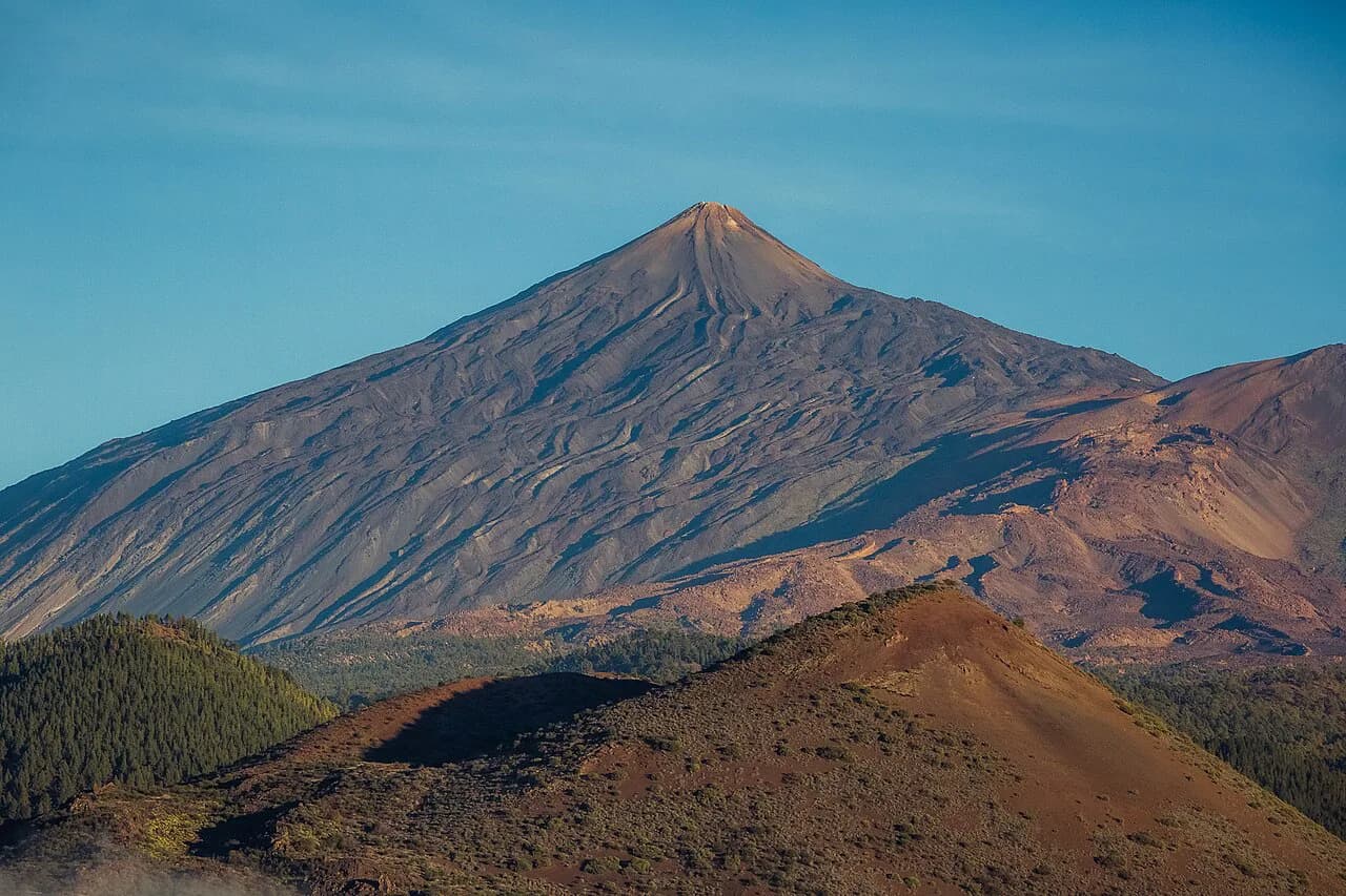
Tenerife rewards hikers who treat it as three islands in one: a wet, laurel-green ridge system in the northeast, a dry gorge country in the northwest, and a high volcanic plateau in the center where Spain's highest summit stands at 3,718 m (12,198 ft). You can walk a rugged coastline in the morning and stand above the clouds on lava in the afternoon, because the landscapes and the weather change that fast. The trails below suit everyone from a first-time hill walker with three hours to spare to a fit hiker hunting a full day of ascent.
This guide groups hikes by region so you can pick a base and match trails to your fitness and your calendar rather than zigzagging across the island. Distances and ascent figures come from published route descriptions and are useful for comparing options, not for navigation, so carry a map or an offline route. The island is a year-round destination, but the month you choose changes which trails feel comfortable and which feel like hard work.
Why Tenerife suits hikers
The island's three hiking areas sit within about an hour's drive of each other, yet they feel nothing alike. Anaga in the northeast is a UNESCO Biosphere Reserve of lush green mountains, deep gorges and a dramatic coastline, and it is the one corner of Tenerife that stays damp all year. Teno in the northwest delivers deep ravines, remote valleys and the near-vertical Los Gigantes cliffs, while the Teide plateau is dry, stark and unlike anything else in Europe.
That variety is the argument for a hiking trip rather than a beach holiday with one walk tacked on. A sensible plan gives each region at least a full day, and the north's unpredictable microclimates mean you should prepare for blue sky in one village and rain in the next. Walking is most popular in October and May, though August works if you start at sunrise to dodge the heat.
Anaga: green ridges, coast paths and the cave village of Chinamada
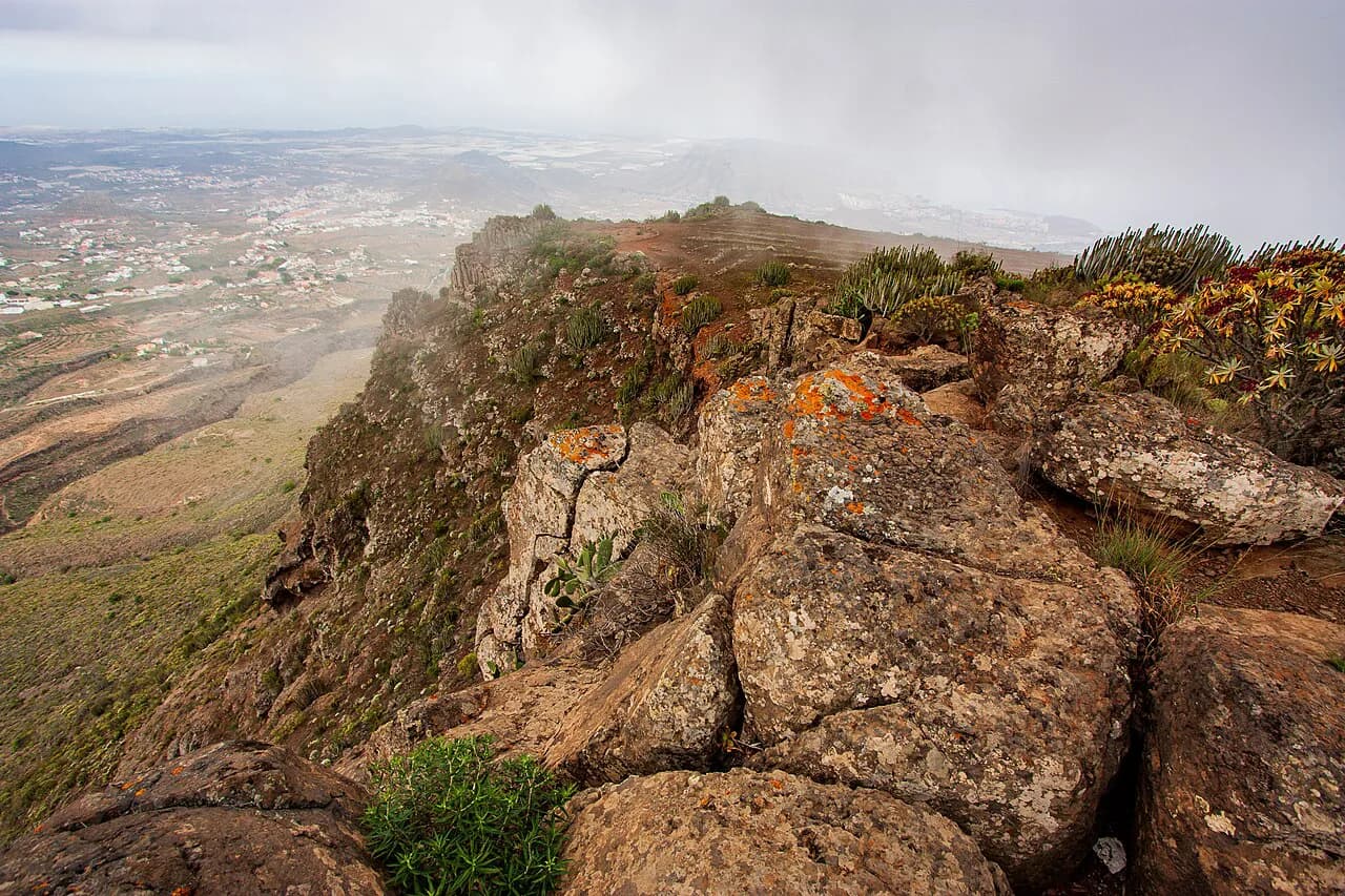
Anaga occupies the island's northernmost lobe, a crumpled massif of laurisilva forest, sharp ridges and black-sand coves. Trails here follow old mule paths between hamlets, and many of the best start or finish at the coast, which means a stiff climb whichever direction you walk. Benijo is the classic base for the eastern coast, with a beach below the village and a road down through the mountains that is an attraction in itself.
The signature short route runs from Benijo to El Draguillo, a wide path that hugs a rugged coastline with big drops on the seaward side before climbing behind the hamlet. Going clockwise puts the coastal stretch first and the tough climb second, with the best views saved for the descent. The path is exposed in places and the cliffs are genuinely dangerous, so keep children and dogs close on the coastal section and avoid the edge in gusty weather.
Chinamada, a hamlet of cave dwellings, is the other Anaga highlight and can be reached from several directions. From Punta del Hidalgo an out-and-back route climbs through a valley with endless views to the village, where a cafe lets you refuel before the descent. A longer circuit links Cruz del Carmen with Chinamada through varied forest and ridge terrain, and rewards the extra effort with far fewer people than the coastal paths.
Anaga hikes by difficulty, with distance, ascent and time
Start with the Benijo to El Draguillo walk: 5 km (3.1 miles) with 473 m (1,552 ft) of ascent at a moderate grade, which most fit hikers finish in a half day at a relaxed pace.
For a harder day, the Afur, Taganana and Playa de Tamadite circuit covers 12 km (7.5 miles) with 695 m (2,280 ft) of ascent and mixes tree-covered mountains, quiet valleys and a wild rocky beach. The coastal stretch is the highlight, and there are hidden swim spots in the valley on the climb back up from the beach. Allow most of a day and carry more water than you think you need, because the climb out is steady and shade is patchy.
The Punta del Hidalgo to Chinamada route is 9 km (5.6 miles) out and back with 627 m (2,057 ft) of ascent and a hard rating, though the gradient is more persistent than technical.
The big Anaga day is the Benijo to Faro de Anaga circuit, 15.1 km (9.4 miles) with 1,166 m (3,826 ft) of ascent and a hard rating. It visits the most remote parts of the island and delivers the best coastal views, but only makes sense in clear, dry weather with plenty of daylight and energy left. Navigation on the upper sections is not always obvious, so download an offline route before you leave the coast.
Anaga is also where you will most often meet cloud, even when the south is baking. The massif holds moisture and can sit under a grey ceiling while the rest of the island is sunny, so build flexibility into your plan and keep a Teide or Teno day in reserve.
Teno: Masca, Los Gigantes cliffs and the Punta de Teno lighthouse
The Teno massif fills the northwest corner of the island, a dry landscape of cacti, deep ravines and old terraced slopes above the sea. The village of Masca clings to a ridge below the highest peaks, and the classic traverse from Santiago del Teide reaches it via the Mirador Cruz de Hilda, with views to La Palma and La Gomera on a clear day. The first climb to the ridge is steady, then the route is mostly downhill to the village, which is why most hikers walk it in this direction.
The Santiago del Teide to Masca walk is listed at 8.4 km (5.2 miles) with 364 m (1,194 ft) of ascent and a moderate grade. A short detour to Pico Verde near the start adds the high point and the widest views of the Masca valley. At Masca, bus 355 returns to Santiago del Teide in about fifteen minutes, but on weekdays it runs only four times a day, so check the timetable before you set off and leave a margin for a missed connection.
Shorter options suit a half day: Tamaimo to Guama is 5.5 km (3.4 miles) with 474 m (1,459 ft) of ascent, a steep pull to big views over the village and the Los Gigantes cliffs. To the west, the long walk from Teno Alto to Punta de Teno covers 16.6 km (10.3 miles) with 855 m (2,805 ft) of ascent, a full hard day that brings you to the lighthouse on the island's western tip. Cars are restricted on the road to Punta de Teno, so walking in is the straightforward option.
Masca Gorge: the descent, controlled access and the boat option
The Masca barranco is the island's most famous walk, a descent through a narrow gorge to a black-sand beach beneath towering walls. Access has been controlled since the trail reopened after a long closure, and hikers are admitted in limited numbers with advance booking rather than turning up on spec. Book before you build a day around it, and treat the permit as the first decision of the trip rather than an afterthought.
The route is roughly 8.5 km (5.3 miles) out and back with 800 m (2,625 ft) of ascent and a hard grade, but almost all of the climbing comes if you turn around at the beach. Walking down only and leaving by boat from the shore is the easier plan, and the water taxi to Los Gigantes has historically been the standard exit; service can be suspended, so arrange your return before you start. Climbing back up the gorge is strenuous, hot and sustained, and scrambling on polished rock makes it slower than the numbers suggest.
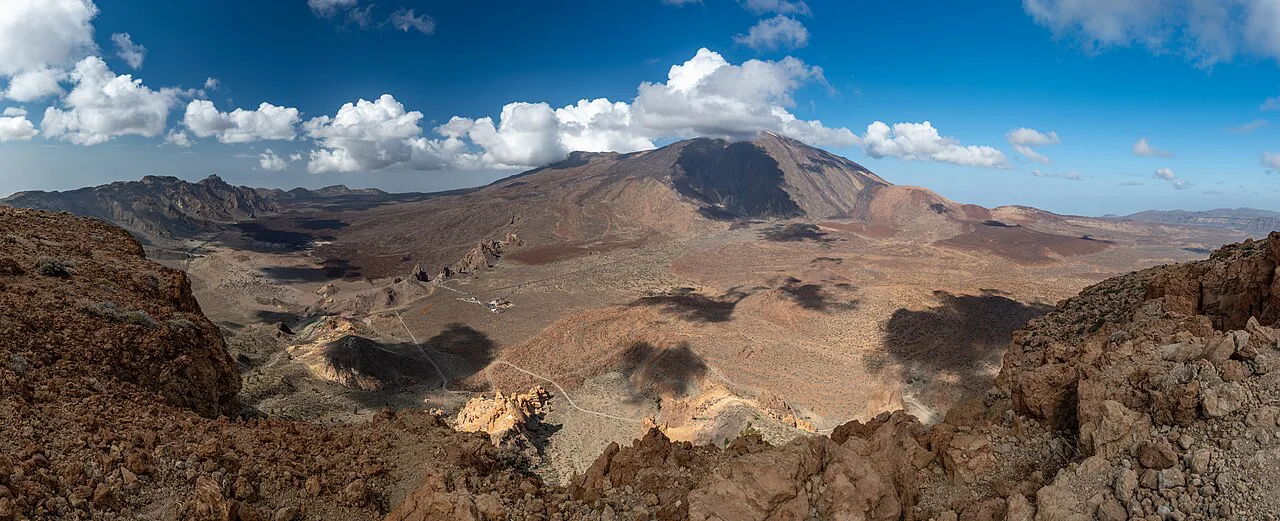
Teide National Park: lava fields, Roques de Garcia and Montaña Guajara
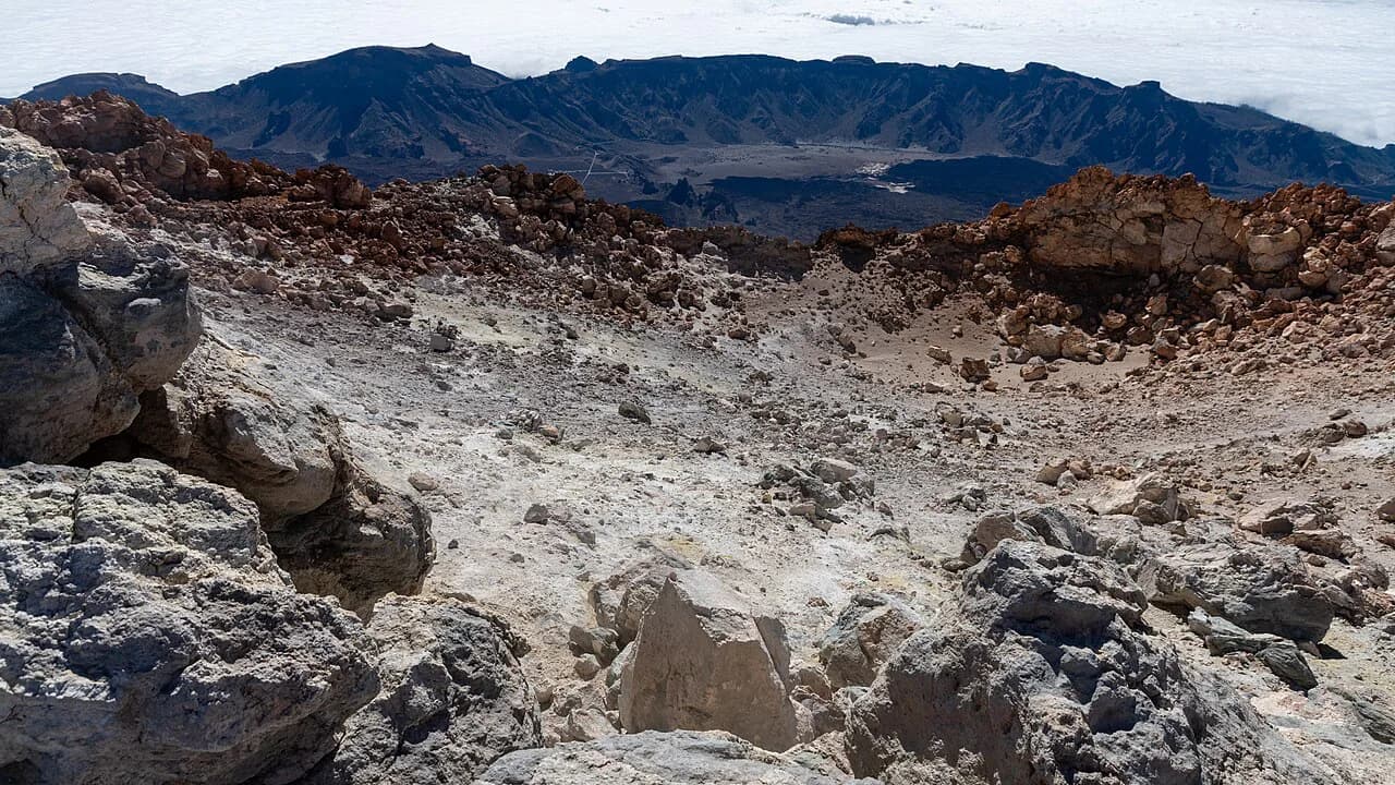
The Teide plateau is dry, high and geologically young, a UNESCO World Heritage landscape of craters, lava flows and huge rock towers below the volcano. The park sits in the center of the island, with the El Portillo visitor center as a useful orientation point and trailhead on the northern side. Temperatures here run well below the coast, so pack a layer even when you leave your hotel in sunshine.
The Roques de Garcia loop is the easy introduction, about 3.4 km (2.1 miles) with 200 m (656 ft) of ascent and around an hour and a half of walking. It circles the rock formations, including La Cascada and La Catedral, and is at its best in low sun at either end of the day. Because it is short and close to the main road it gets busy; going early buys you quiet and better light.
Montaña Guajara is the big non-summit day in the park, listed at 10.1 km (6.3 miles) with 771 m (2,530 ft) of ascent and a hard rating, or around 12 km (7.5 miles) as a loop marked from El Portillo. Either way it is a full day of exposure above the treeline, with white pumice, black lava and red crags on the way up. From the top you look straight across at Teide and, on a clear day, out to the neighbouring islands.
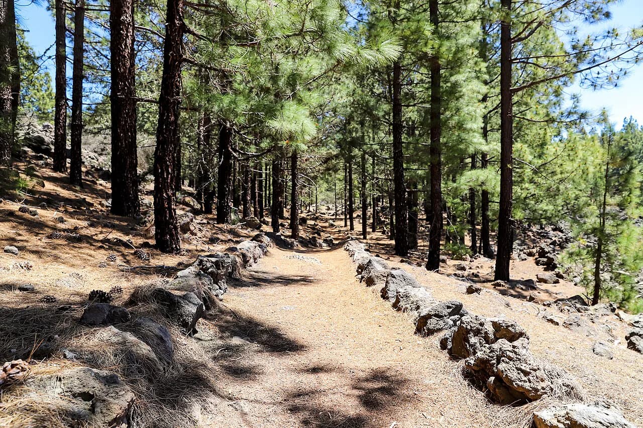
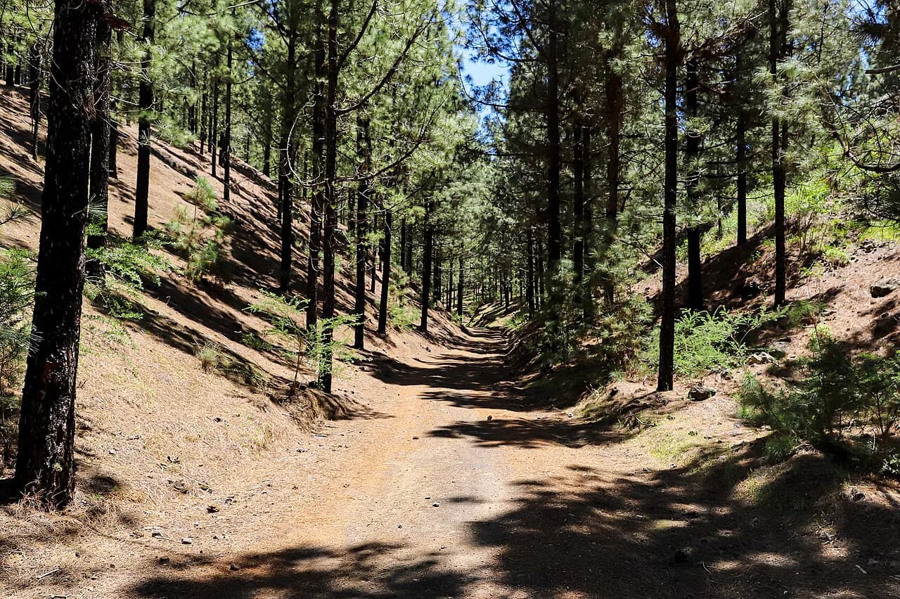
A gentler alternative links Montaña de la Botija and Montaña Samara over 5.1 km (3.2 miles) with 288 m (945 ft) of ascent, passing pine forest and lava fields with good views back to the volcano. The altitude is the thing to respect on all of these routes: the plateau starts high and the air is thin, so a climb that would feel easy at sea level will leave you breathing hard.
Climbing Pico del Teide: permit, cable car and the summit viewpoint
Reaching the 3,718 m (12,198 ft) summit is a separate decision from hiking the park, because the final section is permit-controlled. Apply in advance through the national park's reservation system, and expect demand to be high in the main walking months. Without a permit you can still ride the cable car, bookable in advance, to a viewpoint roughly 163 m (535 ft) below the top and walk the short path there.
The permit and the lift are two separate plans, and it pays to decide which one you are actually doing before you book transport. A sunrise or sunset climb of the volcano is a memorable way to use a permit, but it means starting or finishing in the dark on cold, loose ground. Plan the full mount teide hike around acclimatization on lower trails first, because the altitude is the limiting factor, not the gradient.
Getting to trailheads: rental car, bus and lift access
A rental car makes Tenerife's hiking far simpler, because the trailheads in Anaga, Teno and Teide are spread across the island and rural buses are infrequent. Parking at popular starts fills early, so arrive in the morning rather than mid-morning, and leave nothing visible in the car. If you rely on buses, build the day around a single valley rather than a traverse, and confirm the return service before you walk away from the stop.
For Anaga and Teno, the bus network can work if you accept a fixed finish: the Masca service is the clearest example, with only a handful of weekday departures, which effectively sets your start time. On Teide, the cable car serves the summit viewpoint and its booking system is separate from the road access, which matters if you plan a one-way walk across the plateau. Check the current timetable and operating calendar on the Tenerife tourism office website before you commit, since seasonal schedules change.
Where to base yourself: La Laguna, Garachico or Los Gigantes, and Vilaflor
La Laguna is the strongest base for Anaga: a historic city with restaurants on the doorstep and quick access to the massif, which matters when you want an early start. Garachico or Los Gigantes suits Teno, putting the Masca and Punta de Teno trailheads within easy reach and giving you a coast to swim from afterwards. Vilaflor, the high village below the Teide plateau, is the logical base for the national park and shortens every drive to the trailheads.
A two-base trip works well: three or four nights in the north for Anaga and Teno, then two nights near Teide. Staying entirely in the southern resorts means long daily transfers, so either accept the driving or move hotels. The northern half of the island is generally quieter and cheaper for food, which frees budget for a second base.
If you would rather have the logistics arranged, guided and self-guided formats exist, and tenerife walking holidays can handle transfers and luggage so you focus on the trails. Compare what each format includes, particularly whether transfers to trailheads and a local contact are part of the package, before you choose.
Loop in some other walking days too: routes like the Barranco del Infierno in the Adeje hills add a different, drier landscape to a Tenerife itinerary.
When to go: month-by-month conditions and heat avoidance
Tenerife walks well in every month, which is unusual for a mountain destination. October and May are the most popular months for hiking, with comfortable temperatures and generally settled weather, and they are the safest bet for a first trip that combines all three regions.
Between November and April the weather becomes less predictable, though you can still get lucky with long clear spells; that is the season to favor the drier south and west and to keep plans flexible. Summer is hot, especially on the exposed Teide plateau and the Teno gorges, so start at sunrise and finish before the afternoon heat builds. Snow can lie on the high ground in winter, which turns the Guajara paths into a different proposition; carry traction and choose a lower route if the plateau is white.
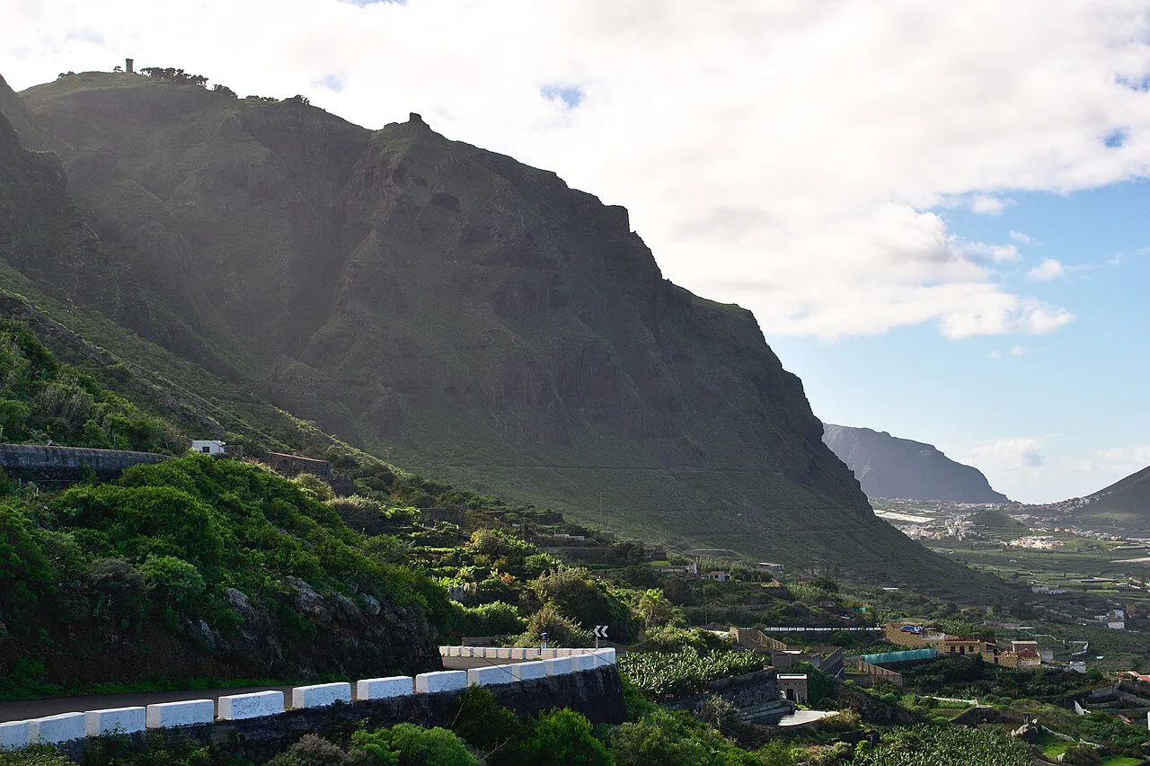
Weather, altitude and mountain hazards
The main hazard on Tenerife is heat and exposure rather than technical difficulty. Most routes have little shade, the sun is strong at altitude, and the plateau's thin air makes climbing slower than the map suggests, so carry more water than usual and turn around if you are behind schedule. Afternoon cloud build-up on the high ground is normal, and being caught above the treeline in mist is disorienting rather than dangerous if you have a route downloaded.
The Anaga coast paths are the exception, with genuine drops beside the trail and slippery rock after rain. Keep back from edges, avoid the exposed sections in strong wind, and save the long Faro de Anaga circuit for a day when the ground is dry. In the Masca gorge, flash flooding and loose rock are the risks, and the controlled access system exists because the narrow walls leave little room to escape.
Hikes near the resorts of southern Tenerife
The south of the island is sunnier and drier, and there is good walking within reach of the resorts even if the biggest trails lie further north. The Adeje hills above the coast hold the Barranco del Infierno, a deep ravine walk that offers a very different day from the humid laurel forests of Anaga.
Inland from the southern coast, Roque del Conde rises above the Arona side of the island and gives a short, steep ascent to a broad summit with views across to Teide and the sea. It is a good half-day for a fit hiker with a car and limited time, and it pairs well with an afternoon on the coast.
From southern resorts, the practical trade-off is driving time against trail quality: Anaga and Teno are day trips, not morning walks, so plan two or three mountain days rather than squeezing them around beach time. Parking at the northern trailheads is limited, which further favors early starts and a single base.
Where to stay for a hiking-focused trip
Match your bed to the trails you care about most. La Laguna for Anaga, Garachico or Los Gigantes for Teno, and Vilaflor or the El Portillo area for Teide. Splitting the stay avoids long transfers and lets you walk at the best hour of the day rather than the first hour you can reach the trailhead.
Book the northern villages early in the popular spring and autumn windows, since small guesthouses fill before the larger resorts do. Ask whether your accommodation has parking, because street parking in the ridge villages is tight and arriving late makes it harder.
Planning Your Tenerife Hiking Trip
Start with the region that matches your base, pick one hard day and one easy day per region, and build the rest of the trip around them. Check the park's own pages for permit rules, bus and lift timetables, and any seasonal restrictions before you lock in dates, because these are the details that decide whether a day works.
If you want to compare a different island for a future trip, hiking in Mallorca offers limestone peaks and a very different coastal feel. But Tenerife's combination of green ridges, dry gorges and high volcanic ground in a single short trip is hard to match.
Explore more Tenerife hiking guides
Frequently Asked Questions
Is Tenerife good for hiking?
Yes. The island has three distinct hiking regions: Anaga's green, wet ridge system, Teno's dry gorges and cliffs, and the high lava plateau of Teide National Park. Trails range from a short, easy loop around Roques de Garcia to full-day routes like the Faro de Anaga circuit, and the island walks well in most months.
What is the best place to stay in Tenerife for hiking?
Base yourself near the trails you want most. La Laguna suits Anaga and gives you a city with restaurants, Garachico or Los Gigantes suits Teno, and Vilaflor or the El Portillo area shortens drives to the Teide plateau. A two-base trip covering north and center is the most efficient way to see all three regions without long daily transfers.
What is the best hike in Tenerife?
For most hikers the Santiago del Teide to Masca traverse is the standout: moderate, mostly downhill after the ridge, and finishing in a village with a bus back. Stronger hikers should consider Montaña Guajara for the best view of Teide, or the Faro de Anaga circuit for coastal drama. Note that Masca Gorge, the famous descent, has controlled access that must be booked in advance.
Can you hike in Tenerife without a car?
It is possible but restrictive. Buses reach some trailheads, such as the Masca service from Santiago del Teide, but weekday frequencies are limited and many rural starts have no useful service. Without a car, plan single-valley walks with a confirmed return bus, or use a guided or self-guided walking holiday that includes transfers.
What is hiking in Tenerife like in February?
February falls in the less predictable November-to-April window, so you can get long clear spells or unsettled weather. The south and west are usually drier, while Anaga can sit under cloud. Snow can lie on the high Teide ground, which makes the Guajara routes harder, so keep a lower alternative in reserve and check forecasts for the specific village or valley you plan to walk.
Do you need a permit to climb Mount Teide?
Yes. The final section to the summit is permit-controlled, and permits are applied for in advance through the national park's reservation system. Without one, you can take the cable car, booked in advance, to a viewpoint below the top and walk the short path there. The permit and the cable car are separate bookings.
Which Canary island is best for hiking?
Tenerife offers the widest range within a single trip, from humid laurel forest to high volcanic desert. La Gomera, its neighbour, is known for trails in Garajonay National Park and makes a good add-on if you have extra days, though it is a separate island and needs its own ferry crossing.
Sources
Trail notes for your next trip
Optional updates when we add or revise hiking guides.
You might also like
Continue reading
More guides you'll find useful