Roque del Conde Hike Tenerife: Which Trail to Choose
The Roque del Conde hike climbs a volcanic roque above Arona and Adeje in Tenerife. Plan the trailhead, distance, ascent, walking time and views.
On this page
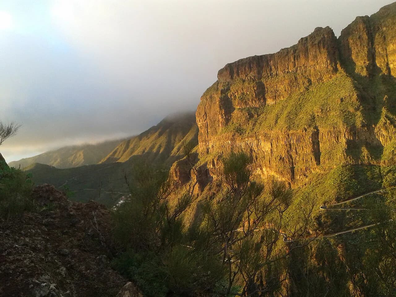
Roque del Conde gives you one of southern Tenerife's biggest returns for a half-day of walking: a volcanic roque rising to roughly 1,000 m (3,281 ft), climbed by an old paved agricultural path, with a summit plateau that looks straight down on the coasts of Adeje and Arona. It suits hikers with steady legs and an early start rather than anyone wanting a gentle stroll.
The mountain also carries the name Roque de Ichasagua, after the Guanche mencey remembered in island chronicles, and it sits inside the Reserva Natural Especial de Barranco del Infierno. That puts it in the same protected landscape as the better-known gorge walk; the Barranco del Infierno Hike, Tenerife page covers the ravine itself, while this route takes the open slope on the Arona side.
Where the Roque del Conde hike goes
This is a linear route, not a loop. The municipal route description starts at Calle Vento in Arona, climbs the eastern flank of the roque, and finishes on the summit in Adeje, so you either walk it one way with a car or transfer arranged, or climb and descend the same path.
The same page lists 3,7 km from start to finish, about two hours of walking, a maximum altitude of 999 m and a minimum of 596 m, medium difficulty, and a cumulative ascent of 484 m against only 149 m of descent. The modest descent is the detail worth understanding: you begin high on the Arona side, so almost all of the climbing stacks up on the way in.
A second set of figures on that page gives 4,2 km, a walking time of 1h 44min and a maximum slope of 445m. Treat the two as different measurements of the same outing rather than a contradiction, and plan on roughly 400 to 500 m of climbing over a short distance, which is what makes the climb feel sustained.
Trailhead and getting there
The walk begins on Calle Vento in Arona, on the eastern side of the roque, and the paved path climbs through the old farm terraces of El Tablero. Parking around El Tablero and the streets near the start is the practical option if you drive, and a one-way walk means leaving a second car or arranging a pickup at the Adeje end.
Public transport timetables and any parking rules change by season, so check current bus connections and local parking signs before relying on them.
Distance, ascent and time
For fitness planning, use the cumulative numbers: 484 m (1,588 ft) of ascent and 149 m (489 ft) of descent over a 3,7 km (2,3 mi) line. The grade is officially rated medium, and the climb is concentrated enough that you will be gaining height steadily rather than alternating flat and steep sections.
The two-hour estimate is walking time by the municipal description, so add margin for photographs on the plateau and for the heat. If you go out and back from Calle Vento, expect to reverse the profile, with the return carrying the descent you did not do on the way up.
Route description
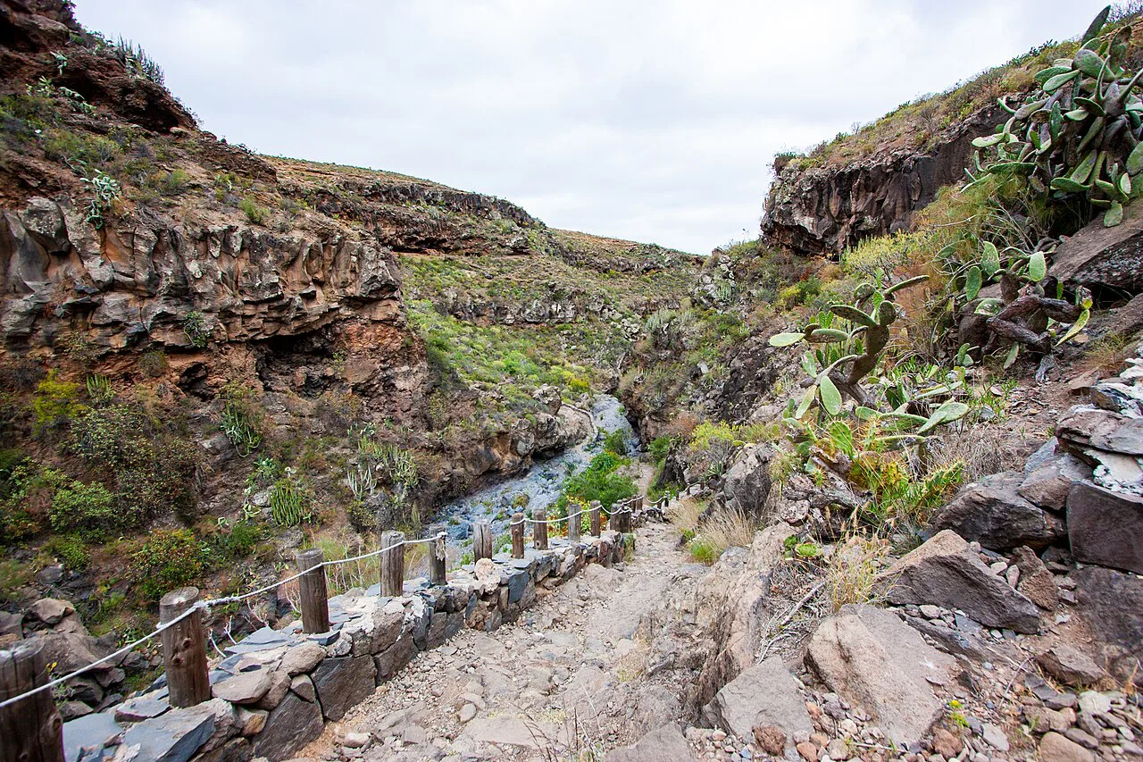
From Calle Vento the route follows the old cobbled way used to reach the cultivation terraces, gaining height through El Tablero with the eastern slope of the roque ahead of you. The path is straightforward to follow but bare, with nothing overhead and no water along the way.
Higher up the slope steepens toward the rim of the summit plateau, and the plateau itself is the natural finish and lunch stop. The official route ends at Roque del Conde in Adeje; the alternative route record describes a 4,2 km line, which matches the feel of a short, concentrated climb.
What you see from the summit
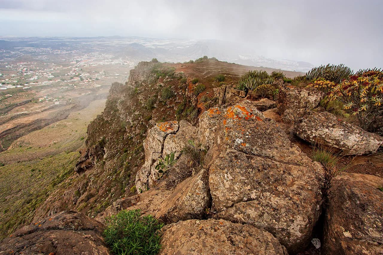
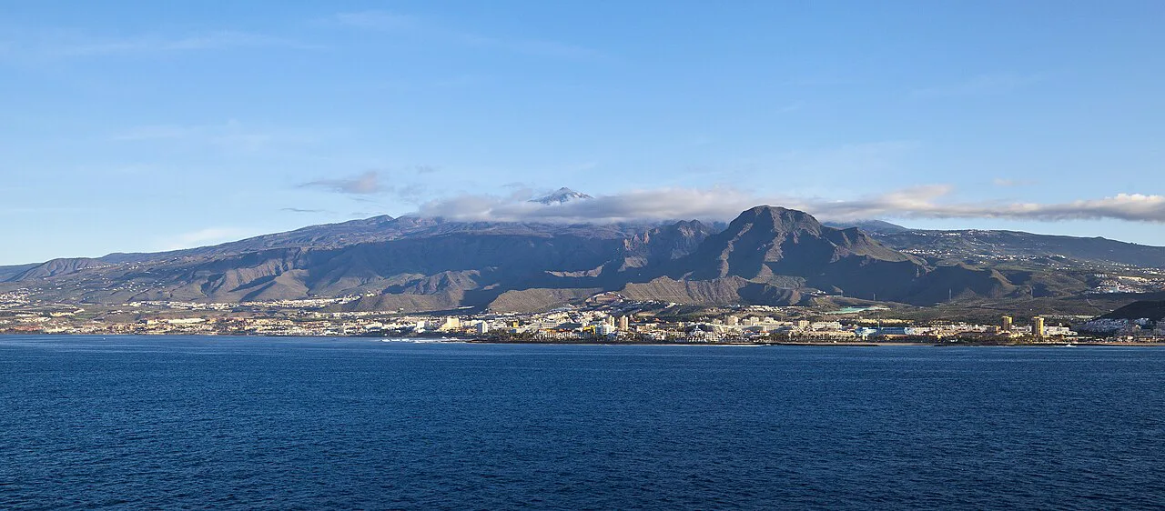
The plateau gives panoramic views over the coasts of Adeje, Arona, San Miguel, Granadilla de Abona, part of Guía de Isora and Santiago del Teide, plus the island of La Gomera on the horizon. It is a coastal-overlook summit rather than a high-mountain one, so the reward is the shape of the southern shoreline and the barrancos below you.
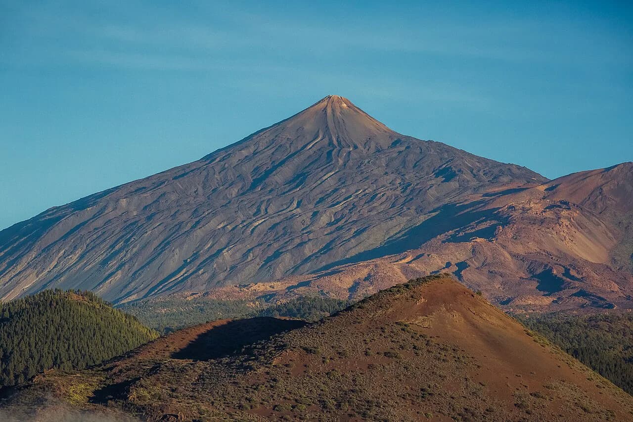
If you want bigger altitude and a different day out, the Mount Teide Hike sits far above this roque in Teide National Park and needs its own planning; the Teide summit permit page explains the access rules for the final stretch.
Plants and history along the way
The terraces on the climb were once worked for cereal, and the slope is now marked by cardón (Euphorbia canariensis) and tabaiba roja (Euphorbia atropurpurea). The Roque de Ichasagua name keeps alive the memory of the mencey who resisted into the years after 1496, which gives the bare hillside a historical layer beyond its views.
When to go
There is no shade anywhere on this route, and the municipal page singles out very hot days as the hazard to watch. Choose a start early in the morning, carry more water than you think you need, and pick a cooler month if you are not used to southern Tenerife heat.
Because the climb starts from around 600 m and tops out just under 1,000 m, winter and spring give the most comfortable walking, while high summer turns the paved path into a radiator by midday.
Descent and return
If you walk the line one way, the finish is on the Adeje side and your return logistics need sorting before you leave Calle Vento. Otherwise descend the way you came, which is faster than the climb but harder on the knees on the cobbles; trekking poles help on the terraced sections.
Where to base yourself
Arona and Adeje are the closest bases, and Costa Adeje puts you within a short drive of Calle Vento while giving you the resort infrastructure of the south coast. Holiday rentals are concentrated along this coast; listings in the area are one way to compare locations before you commit to a base.
If you plan several days of walking, the wider hiking in tenerife guide sets this roque against the island's other areas, including Parque Rural de Teno in the northwest, and helps you decide how many days to give the south. Hikers weighing other Canary Island options can also compare this short climb with hiking in Gran Canaria, where similar dry, terraced slopes make for a good second trip.
Safety on the bare slope
The exposure here is sun and heat rather than technical ground: no shade, no water, and a paved surface that reflects the sun. In an emergency, the municipal page gives the number to call as 112.
Start early, tell someone your plan if you walk one way, and turn around if the heat is affecting your pace more than the gradient.
Plan Your Visit
Roque del Conde is the southern Tenerife half-day for hikers who want a real climb, a summit plateau and a view that takes in half the island and La Gomera, without committing to the high mountain. Build your day around an early start, water, and a clear decision on whether you walk one way to Adeje or return to Calle Vento.
For a longer stay, pair it with the Special Nature Reserve's gorge walk and use the island guide to balance coast and high country.
Frequently Asked Questions
How long is the Roque del Conde hike?
The municipal route is listed as 3,7 km from Calle Vento in Arona to the summit in Adeje, with an alternative figure of 4,2 km on the same page. Either way it is a short linear route, so plan on roughly two hours of walking and add time for the summit.
How much ascent is there on the Roque del Conde trail?
The route accumulates 484 m of ascent and 149 m of descent over its length, because it starts high on the Arona side and finishes on the roque. The alternative figures list a 445 m maximum slope, so expect a concentrated climb rather than a long gradual one.
Where does the Roque del Conde hike start?
It starts on Calle Vento in Arona, on the eastern side of the roque, and climbs the old paved path through the El Tablero terraces. The official finish is on the summit in Adeje, which makes it a one-way walk unless you return the same way.
Is the Roque del Conde hike difficult?
The route is rated medium difficulty. The distance is short but the climbing is steady over a bare slope, and the cobbled path is hard on the knees on the descent.
Is there shade on the Roque del Conde trail?
No. The route has no shade and no water along the way, and the municipal page warns about very hot days. Start early, carry enough water and pick a cooler season if heat is a concern.
What can you see from the top of Roque del Conde?
From the summit plateau you look over the coasts of Adeje, Arona, San Miguel, Granadilla de Abona, part of Guía de Isora and Santiago del Teide, with La Gomera visible offshore. The top stands at just under 1,000 m.
Sources
Trail notes for your next trip
Optional updates when we add or revise hiking guides.
You might also like
Continue reading
More guides you'll find useful