Hiking in Madeira: Which Trails and Levada Walks to Choose
Plan hiking in Madeira with the best mountain ridges, levada walks and coastal trails, plus distances, difficulty, transport and when to go.
On this page
Madeira rewards hikers with an unusual density of landscapes: knife-edge volcanic ridges near 1,900 metres (6,230 feet), irrigation-channel paths through laurel forest, and a dry, wind-scoured peninsula on the east coast. The island suits confident walkers who accept exposure and rough footing, but several routes are short and near-level enough for beginners. If you are weighing Atlantic islands, hiking in the Azores covers the same choice of ridge, forest and coastal days on a different archipelago.
The practical decisions are straightforward: whether you have a car, how much exposure and scrambling you want, and how much time you can give to a single day. This guide groups trails by those factors so you can match a route to your fitness and season rather than chase a list.
What Madeira hiking offers and who each style of trail suits
Three trail families cover almost everything a visitor wants. Ridge routes link the island's high peaks and give the biggest views at the cost of stairs, narrow paths and sudden cloud. Levada walks follow old water channels through forest and valley floors, usually with gentle gradients but tight ledges and tunnels. Coastal paths trade altitude for sun, wind and drop-offs above the Atlantic.
Match the family to your group. Families with young children and hikers short on time do best on Balcões or the lower levadas. Strong walkers with a full day should commit to the ridge traverse. Anyone uneasy with heights should choose forest levadas over the coastal headland, where the path is open on both sides.
Levadas and veredas: how the two trail types differ and what that means for gradient and footing
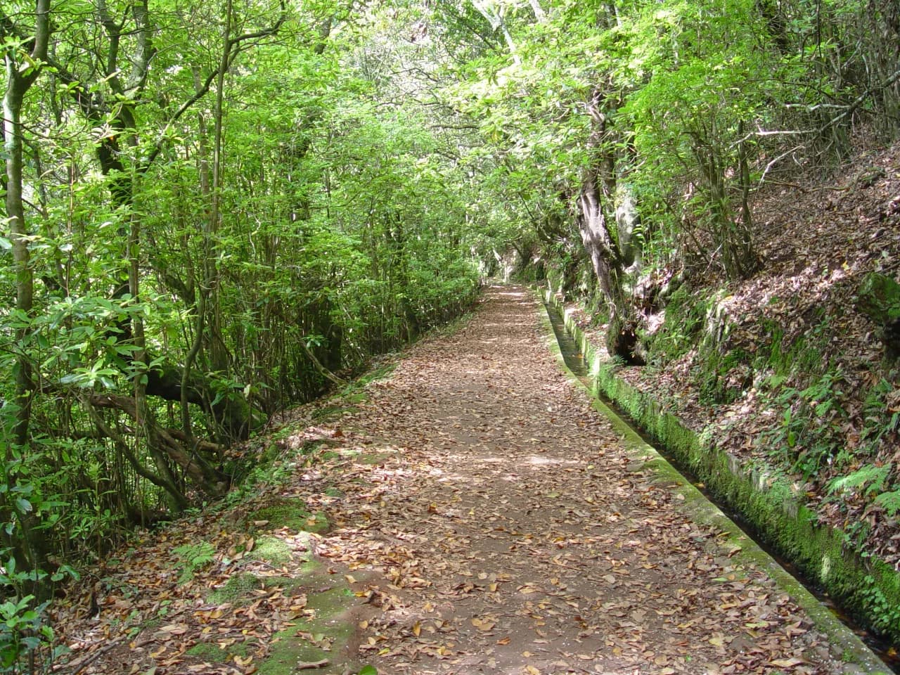
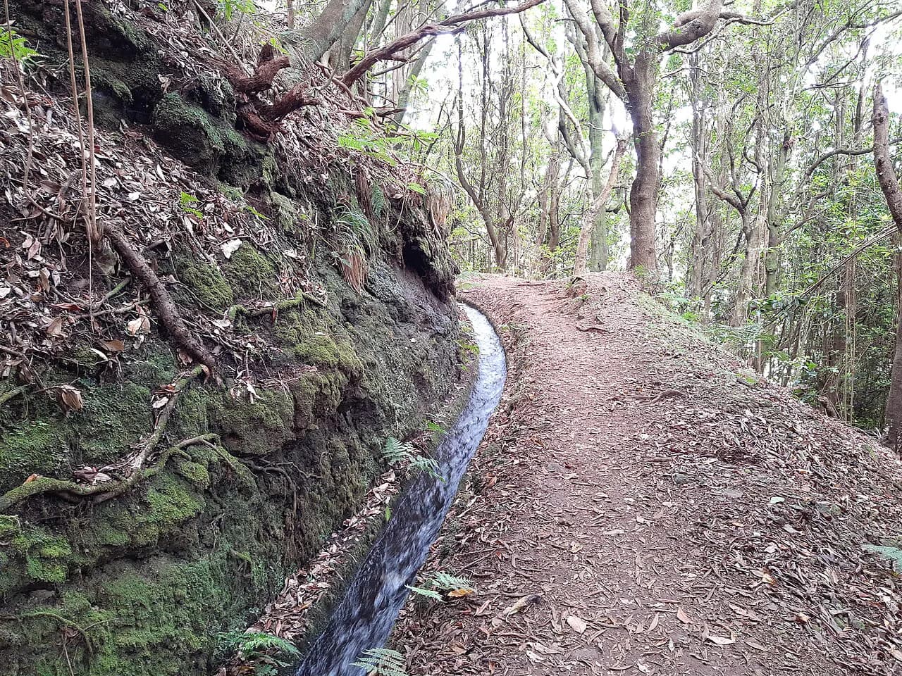
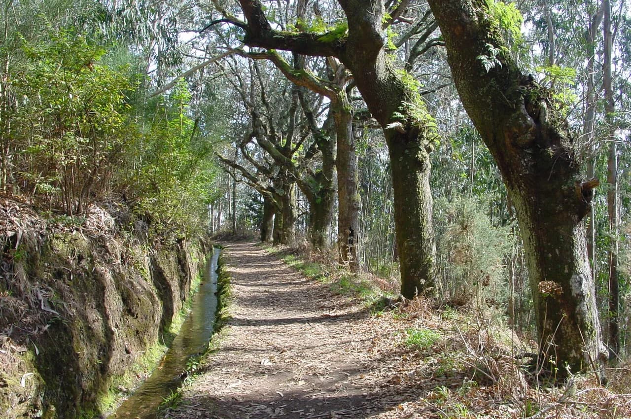
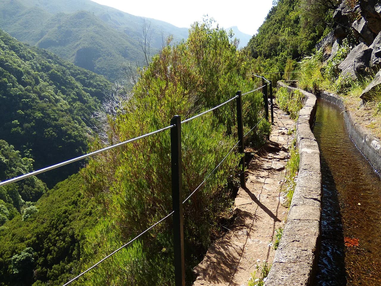
Levadas are the island's irrigation channels, and thousands of kilometres of path run alongside them. Because water must move at a steady, shallow gradient, levada walks are usually gentle in climb but follow narrow channel walls, with the water on one side and a drop on the other. Expect mud after rain and a headlamp for unlit tunnels.
Veredas are the official footpaths proper, and the name signals a route that can climb mountains, traverse cliffs or cross rugged ground. Many days out mix both, so read the route description rather than the label. For a full breakdown of the channel routes, the levada walks Madeira guide covers the classic options in more detail.
Mountain hikes: Pico do Arieiro to Pico Ruivo and the Achada do Teixeira approach
The traverse between Pico do Arieiro and Pico Ruivo is the island's signature mountain day, connecting two high summits along a ridge that often sits above the cloud. It is a strenuous outing even for experienced hikers, with long stair sections, sheer drops and tunnels, and full round-trip walking times of six to eight hours when starting and finishing at Pico do Arieiro.
The full PR1 route now runs one way from Pico do Arieiro toward Pico Ruivo, so you cannot simply retrace your steps to the start. Most hikers exit via PR1.2 to Achada do Teixeira, which adds about 2.8 km (1.7 miles) beyond the summit. A short first section from Pico do Arieiro to the Miradouro da Pedra Rija viewpoint, roughly 1 km (0.6 miles), can still be walked in both directions if you want a taste of the ridge.
If the full traverse is too much, the Achada do Teixeira approach to Pico Ruivo is shorter and less difficult, at 2.8 km (1.7 miles) one way and about 1.5 hours each way. It climbs to the island's highest summit at 1,862 metres (6,109 feet), and several shelters along the way give shelter if the weather turns.
Practical detail for the ridge: trailheads, parking, one-way exit, distance and time
Both ends of the traverse sit high on the mountain and away from towns, so plan transport before you commit. Pico do Arieiro has a car park that fills early and facilities including bathrooms and a café; Achada do Teixeira has no facilities. There is no public transport to either trailhead, so a car, a taxi or a guided hike with transfers is the realistic choice.
Total distance on the ridge depends on how you finish: the full route with a return to Pico do Arieiro runs 12 to 14 km (7.5 to 8.7 miles), while the one-way version through Achada do Teixeira is shorter. Carry a headlamp for the tunnels, a rain shell and warm layer, and enough water for a full day above the cloud.
Levada walks: 25 Fontes and Risco, Caldeirão Verde and Levada do Rei
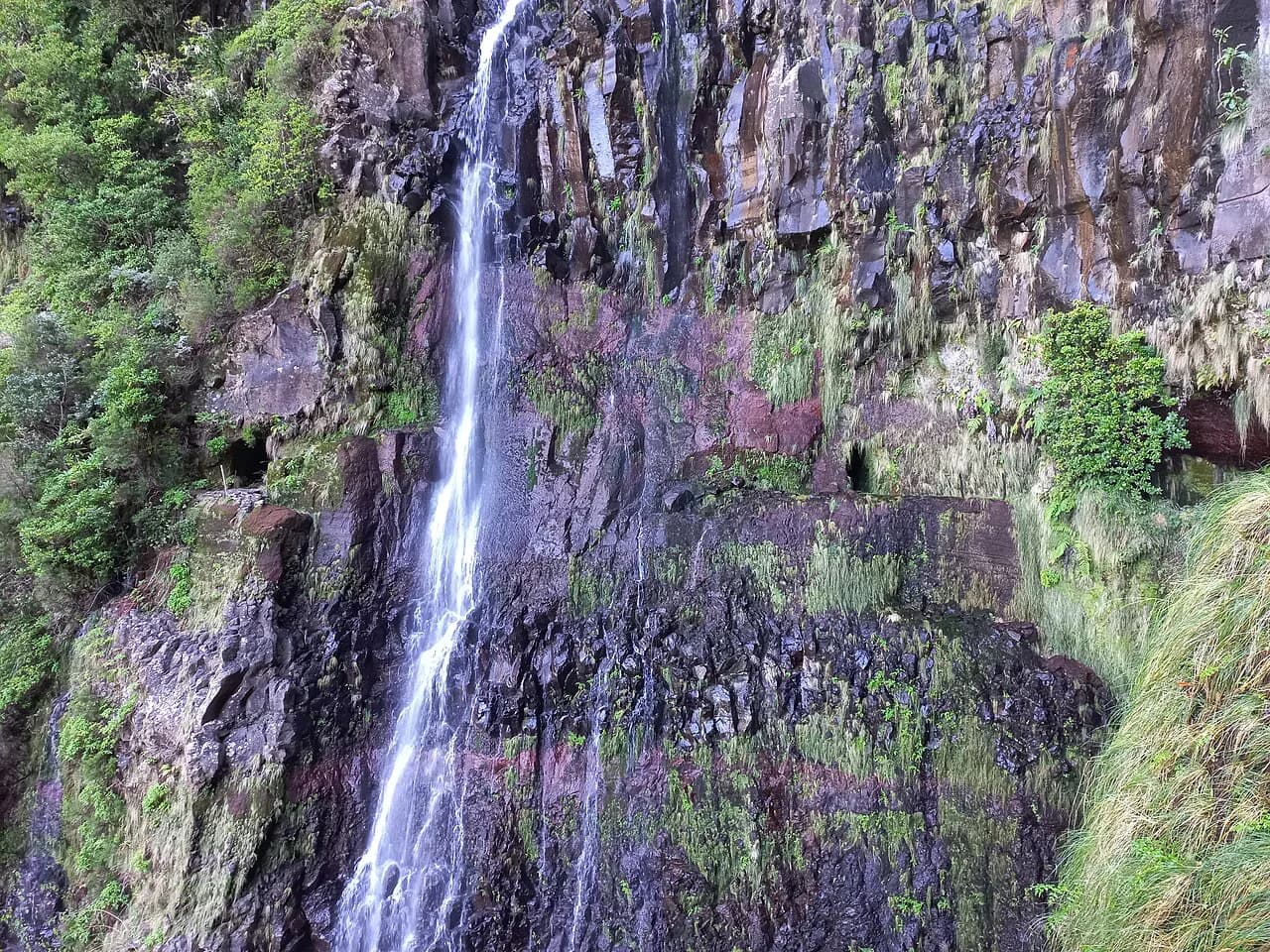
The 25 Fontes and Risco waterfalls in the Rabaçal valley are the most popular levada day on the island. The round trip is about 9.2 km (5.7 miles) and takes three to four hours, with a short side path to Risco waterfall before the main lagoon. The paths are narrow, often muddy and in places run right beside the channel, so waterproof footwear matters.
A shuttle runs from the Rabaçal road car park down to the trailhead at certain hours, but it is small and its schedule is limited, so many hikers simply walk the 20 minutes down and back up. Part of the 25 Fontes route now operates as a one-way circuit, which eases passing on the narrowest walls, and starting early avoids the tour groups that arrive mid-morning.
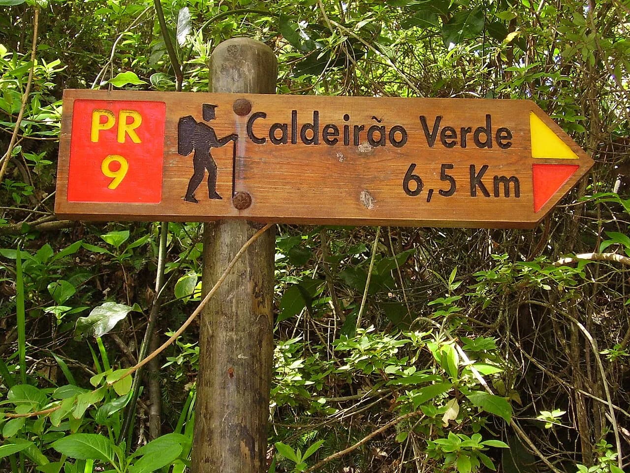
Levada do Caldeirão Verde, reached from Queimadas Forest Park, is a longer forest day of about 13 km (8 miles) taking five to six hours. It is gentle in gradient but includes four tunnels and a narrow section between the channel and a steep ravine, and it handles rain well because most of the route is under trees. The Levada do Caldeirão Verde guide sets out the tunnel and ledge sections in full.
Levada do Rei near São Jorge is the quieter alternative, with jagged peaks visible at the start and a small waterfall and pool at the finish. The path is narrow in places, includes a short tunnel you can duck through without a torch, and can pass behind a waterfall after heavy rain. It is a linear route reached by transfer or car rather than public transport, with a café near the start.
Easy forest and village walks: Balcões and Eira do Serrado to Curral das Freiras
Balcões is the shortest and easiest of the famous walks, about 3 km (1.9 miles) round trip on a wide, near-level path from Ribeiro Frio along a levada to a viewpoint facing the high peaks. The trailhead is signposted from the car park, and the walk can be done in under an hour. Buses from Funchal stop at Ribeiro Frio, making it one of the few classic routes you can reach without a car.
Parking at Ribeiro Frio is limited and the viewpoint gets crowded when coach groups arrive, so early morning or late afternoon is better. A tiny café and souvenir shop sit along the path, and a small restaurant near the start has a public bathroom. The route is a there-and-back walk rather than a circuit.
The walk from Eira do Serrado down to Curral das Freiras is a different proposition: the path zig-zags downhill through trees to the village in the crater-like valley, then follows the road. It is all descent, so the return leg is a stiff climb unless you use the bus. The number 81 bus from Funchal serves both Eira do Serrado and Curral das Freiras, with a journey of roughly 40 to 50 minutes on a narrow, winding road.
Coastal trails: Ponta de São Lourenço and Vereda do Larano
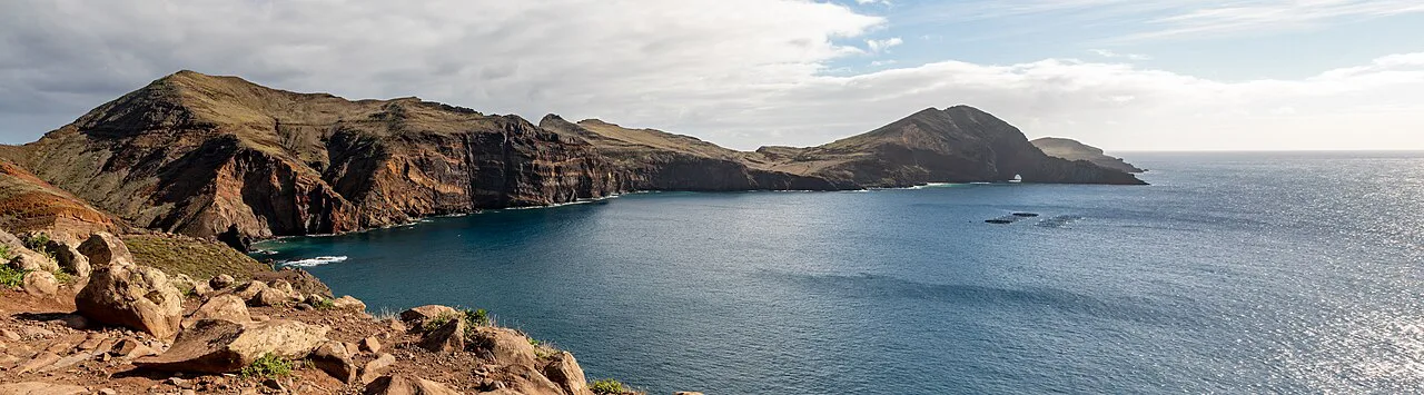
Ponta de São Lourenço is the island's most distinctive half-day, a rocky peninsula on the east coast with ocean on both sides and almost no shade. The full route to Ponta do Furado is about 8 km (5 miles) round trip with roughly 450 metres (1,480 feet) of ascent, taking three to four hours with stops. Strong wind is a real hazard: the exposed path can be dangerous on a gusty day, and turning back is the sensible response rather than pushing on.
The trailhead sits at the end of the road near Caniçal, with a large car park, and bus 113 connects Caniçal with Funchal. A small café and bathrooms now sit on the trail, useful for water and a rest before the final climb to the viewpoint. Trekking poles help on the constant ups and downs of the stairs.
Vereda do Larano runs along the north coast near Porto da Cruz, roughly 300 metres (984 feet) above the ocean, with mostly gentle ups and downs and big sea views. It is not a circuit: the official route continues toward Caniçal, so most hikers turn back at a chosen point, such as Pico das Roçadas or Boca do Risco. Railings cover only some sections above the drops, so it suits walkers comfortable with exposure.
Getting to trailheads by car, bus and shuttle from Funchal
A car unlocks the mountain and interior trailheads but brings its own costs: limited parking at popular starts and narrow access roads. Pico do Arieiro, Achada do Teixeira, Rabaçal and Queimadas are all reached by road, and the first two sit far from any town. If you would rather not drive, guided hikes and transfer services from Funchal cover the main routes and remove the logistics.
Public buses work for a handful of routes. Ribeiro Frio for Balcões is served from Funchal, the number 81 bus links Funchal with Eira do Serrado and Curral das Freiras, and bus 113 reaches Caniçal for Ponta de São Lourenço. Rabaçal and Levada do Rei are the awkward ones, needing a car, a transfer or an organised day out.
Registration, trail fees and booking popular routes
Several of Madeira's official PR routes now require advance registration and a small conservation fee, paid through the Simplifica Madeira booking system. Trail capacity is limited, so book popular walks well ahead in spring and autumn. A guided tour or transfer does not necessarily include the government fee, so read the booking details.
Some trails also carry their own entrance fee: Ponta de São Lourenço is listed at 4.50 EUR per person, free for under-12s, paid and booked through the official Visit Madeira page. Check the current fee and availability on that page before you travel, since rules change. Non-official routes such as the Levada Nova and Levada do Moinho loop near Ponta do Sol currently have no entry fee.
When to go: crowds, water flow and mountain weather
Spring and autumn bring the heaviest demand for the popular levadas and the ridge, and the booking system makes late planning risky. Summer gives the driest, clearest days on the coast but reduces the waterfalls to a trickle by August. Winter storms can bring down trees and damage levada walls, so check trail status after bad weather.
Mountain weather is its own decision. Pico Ruivo and the ridge can be cold, wet and windy while Funchal is warm and sunny, and cloud can close the views entirely. Check a forecast for the summit itself rather than the coast, and keep a lower-altitude levada as your backup day.
Where to stay for hiking: Funchal versus the south coast
Without a car, base yourself in Funchal, where most hiking tours and transfers offer hotel pick-up and the bus network starts. With a car, the south coast near the highway makes day trips to both ends of the island easy. The island is small enough that no base rules out a particular hike entirely.
What to carry for levada tunnels, mud and exposed ridges
Packing follows the route type. Levada days need waterproof footwear, a headlamp for tunnels, a rain shell and a spare layer for the damp forest. Ridge days add warm insulation, sun protection and enough water for six to eight hours, plus poles if stairs trouble your knees. Coastal days need a hat, sunscreen and wind protection, with no shade available.
Hazards to plan around: wind, sun, vertigo sections and wet rock
Madeira's hazards are specific and predictable. The coastal headland is brutally windy and sun-exposed, and walkers have been blown off the path; a forecast with strong gusts is a reason to postpone. Vertigo matters on the 25 Fontes ledges and the ridge stairs, and wet rock makes the levada walls slippery.
On the ridge, cloud can arrive fast and reduce visibility to a few metres, and the route includes tunnels and exposed stairways. Carry a map or offline route, know your exit, and turn around if conditions deteriorate. On levadas, watch your footing where the channel runs beside a drop and use a torch in unlit tunnels.
Choosing a trail by fitness, time and season
For a first visit with limited time, pair one levada with one coastal or mountain day. Balcões and 25 Fontes give the classic forest experience in half a day to a day, while Ponta de São Lourenço adds a completely different landscape in three to four hours. Strong hikers should give the full ridge a dedicated day and arrange the one-way exit in advance.
In wet weather, choose forest levadas such as Caldeirão Verde or Levada do Rei over the exposed coast. In strong wind, avoid the headland and the ridge. With children, stick to Balcões and the shorter levada sections, and save the narrow ledge walks for when everyone is comfortable with exposure.
Plan Your Visit
Madeira rewards a plan built around access and conditions rather than a checklist. Decide first whether you have a car, then pick trails that match your tolerance for exposure and your available hours. Book the popular official routes early and keep a forest levada in reserve for days when the summits are in cloud.
Check the Visit Madeira trail status pages before you set out and pay any required fee through the official system. With transport sorted and a backup route chosen, the island's ridges, levadas and coast each deliver a distinct day out.
Explore more Madeira hiking guides
- Levada das 25 Fontes
- Levada do Caldeirão Verde
- Levada do Moinho to Levada Nova Waterfall Hike, Madeira
- Levada dos Tornos
- Levada Nova
- Levada Walks in Madeira
- Madeira Walking Holidays
- PR1 Madeira
- PR6 Madeira
- PR8 Madeira
- PR9 Madeira
- Levada do Rei (PR18)
- Levada dos Balcões (PR 11)
- Pico Ruivo Hike
- Where to Stay in Madeira for Hiking
- Best Time to Hike Madeira
- Levada da Serra do Faial
- Levada do Furado (PR10)
- Pico do Arieiro Sunrise Hike
- Vereda do Areeiro (PR1)
Frequently Asked Questions
Where should I stay in Madeira for hiking?
Without a car, Funchal is the practical base because most hiking tours and transfers pick up there and the bus network starts in the city. With a car, the south coast near the highway works well for reaching both the eastern peninsula and the central mountains on day trips. The island is small enough that no base rules out a particular hike entirely.
Which is better, PR6 or PR9 in Madeira?
PR6, the 25 Fontes and Risco route, is shorter, busier and more dramatic in its waterfalls, with narrow ledges and a shuttle from the road car park. PR9, Caldeirão Verde, is a longer forest day with several tunnels and a narrow ravine section, and it copes better with rain. Choose PR6 for a half-day classic and PR9 for a quieter, longer walk in the trees.
What should I be careful of when hiking in Madeira?
Wind and sun on the coastal headland, vertigo on the 25 Fontes ledges and ridge stairs, and wet rock on levada paths are the recurring hazards. Mountain weather changes fast, so check a summit forecast rather than the coast. Carry a headlamp for tunnels and turn back if conditions worsen.
Can you hike in Madeira without a car?
Yes, for several routes. Buses from Funchal reach Ribeiro Frio for Balcões, Eira do Serrado and Curral das Freiras on the number 81, and Caniçal for Ponta de São Lourenço on bus 113. The mountain ridge and Rabaçal are harder without a car, so use a guided hike or transfer service for those.
Which Madeira hikes are easiest?
Balcões from Ribeiro Frio is the shortest and flattest classic walk, about 3 km (1.9 miles) round trip on a wide path. The lower levada routes such as Levada do Rei are also gentle in gradient, though narrow in places. The coastal and ridge routes are longer and more exposed.
How long does the Pico do Arieiro to Pico Ruivo hike take?
The full traverse takes six to eight hours when starting and finishing at Pico do Arieiro, and it is strenuous with long stair sections and tunnels. The full PR1 route now runs one way, and most hikers exit via PR1.2 to Achada do Teixeira, adding about 2.8 km (1.7 miles) beyond the summit. The shorter Achada do Teixeira approach to Pico Ruivo takes about 1.5 hours each way.
Sources
Trail notes for your next trip
Optional updates when we add or revise hiking guides.
You might also like
Continue reading
More guides you'll find useful