Hiking in the Azores: Which Island Suits Your Boots
Plan hiking in the Azores with marked routes on São Miguel, Pico, Faial and São Jorge, plus distances, ascent, walking times and the best months to go.
On this page
The Azores suit hikers who want variety inside a small archipelago: you can walk a crater rim above twin lakes in the morning and follow a coastal path to a natural sea pool by afternoon. Each island carries its own character, and the marked trail network spreads across the whole group, so you can pick an island to match your fitness and the forecast rather than commit to one long route.
This guide works island by island, giving the official distance, ascent and walking time for named routes where they are documented, and flagging which trails are specialist objectives rather than casual walks. Use it to decide where to base yourself, which trails fit your knees and head for heights, and how to handle the linear routes that finish far from your car.
Why the Azores work for hikers
Nine islands share one official trail system, filtered by island, difficulty, length and shape on the Azores Trails portal. Routes are waymarked in red and yellow, which keeps navigation simple on the broad tracks and forest paths that make up much of the network.
The range runs from short, flat circuits of a few kilometres to full-day traverses with more than 1,000 m (3,300 ft) of ascent, so a mixed-ability group can split up and reunite over dinner. Coastal routes give you sea pools and cafes at the end, while the high-ground walks trade views for cloud, mud and cooler air.
Treat the official grading as a starting point, not a guarantee. A route rated easy can still finish with a steep concrete descent, and a medium route on exposed volcanic ground can feel harder in wind and rain than its numbers suggest.
How the archipelago is laid out
São Miguel, the largest island, is where most trips begin; its highlights are the Sete Cidades crater complex in the northwest and the tea country on the north coast. For a deeper look at that island's options, the São Miguel Hikes collection covers crater lakes, forest and coastal paths in one place.
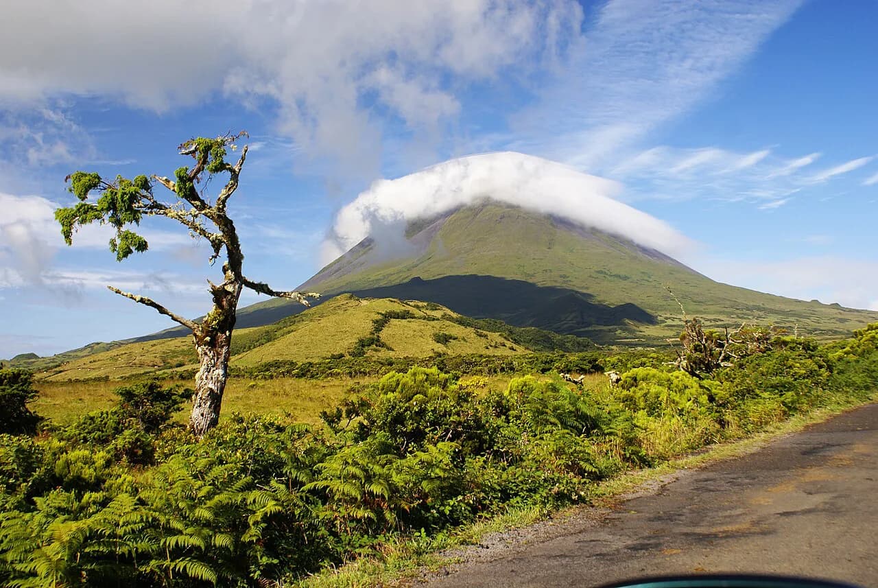
The central Triangle islands of Faial, Pico and São Jorge sit close enough to link by short ferry hops, which makes them the natural unit for a walking week. Pico rises to Portugal's highest point, Faial holds laurisilva cloud forest around a vast caldera, and São Jorge is a long ridge that drops to coastal plateaus.
Flores and Corvo lie far to the west and reward those with extra time, while Terceira, Graciosa and Santa Maria fill out the group with shorter, gentler routes. Pick two or three islands for a week rather than trying to sample all nine.
São Miguel hikes
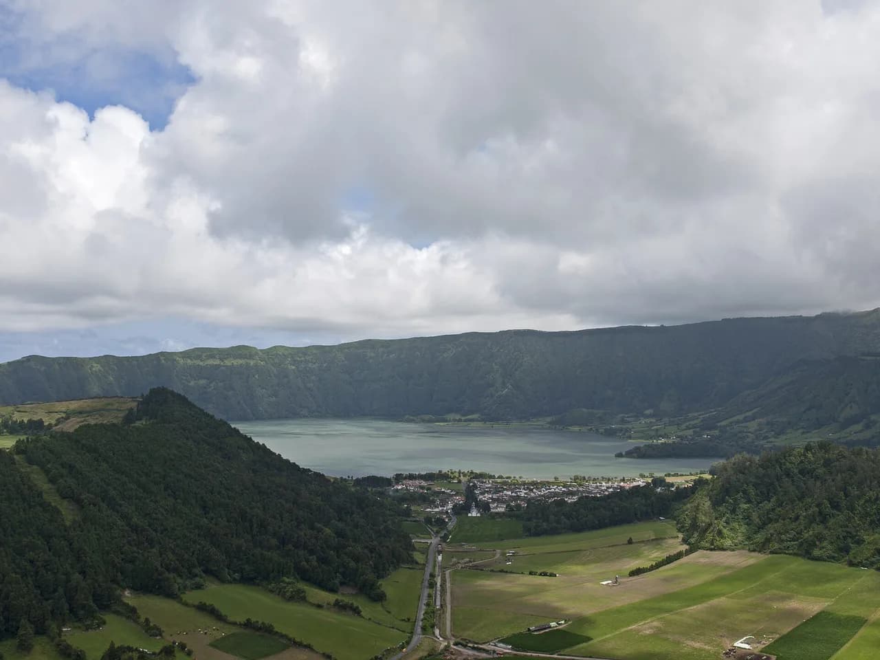
The classic Sete Cidades circuit traces the crater rim above the blue and green lakes before dropping into the lakeside village. On the crater side the walk is a touch under 8 km (5 miles) and officially rated easy, with one steep descent on a quiet concrete road at the end that rewards hiking poles if your knees complain. From the village you can take a taxi back up to your car.
For the full loop around the lake, the Rota Circular da Lagoa das Sete Cidades runs 20.3 km (12.6 miles) with 769 m (2,522 ft) of ascent and takes six to seven hours. That version suits fit hikers with a full day and a car at the trailhead; the shorter rim route suits anyone wanting the viewpoints without the distance.
On the north coast, a 3.4 km (2.1 mile) circular route starts and ends at the Gorreana tea factory and crosses the tea fields in about an hour. Tracks are wide and clear for most of the way, with a brief rougher section in the upper part of the farm.
Sete Cidades is the most photographed landscape in the Azores, and the roadside viewpoints fill accordingly. Walking the rim puts you in woodland within minutes of the car parks, with the crater lakes on one side and the ocean on the other.
Pico hikes
The Criança Velha trail is the flat, accessible way into Pico's UNESCO-listed wine landscape, running about 8 km (5 miles) around and through vineyards enclosed by black lava-rock walls on the volcano's lower slopes. It is a route for everyone, and three natural sea pools along the way, with toilets and changing facilities, let you break the walk with a swim.
The Pico Mountain Trail is a different proposition: an out-and-back of 6.3 km (4 miles) with 1,066 m (3,500 ft) of ascent that takes six to eight hours to the 2,351 m (7,713 ft) summit. The upper section is a near-vertical stomp on uneven boulders and loose soil, with a short final cone where you use your hands; a licensed guide is a sensible call if you are unsure.
If the summit is outside your plans, the Mount Pico Hike guide sets out the climb in detail so you can judge the exposure and the time commitment before booking.
A second circular of roughly 6 km (3.7 miles) at Prainha do Norte keeps to quiet lanes alongside lava rocks and coastal pools, and pairs naturally with a swim and a meal at sea level. It has no single grand viewpoint, which is exactly why it stays quiet.
Faial hikes
Faial's high ground is laurisilva cloud forest wrapped around the Caldeira, a collapsed volcanic crater holding the greatest collection of endemic plants in the Azores. Descending into the crater is a demanding, specialist hike with a licensed guide; most hikers get the better experience by walking half the rim on a clear morning.
The full Dez Vulcões route, PR06 FAI, is a point-to-point of 19.3 km (12 miles) that takes around five hours and loses 841 m (2,760 ft) as it crosses volcanic cones and forest to the village of Capelo. It is long and unforgiving in poor visibility, so plan it for a settled day and arrange a pickup at the end.
A shorter version links half the caldera rim to a narrow levada channel and three volcanic cones, coming in at about 10 km (6 miles). Cloud rolls in and out quickly up here, so carry a shell and a map even when the coast is sunny.
São Jorge hikes
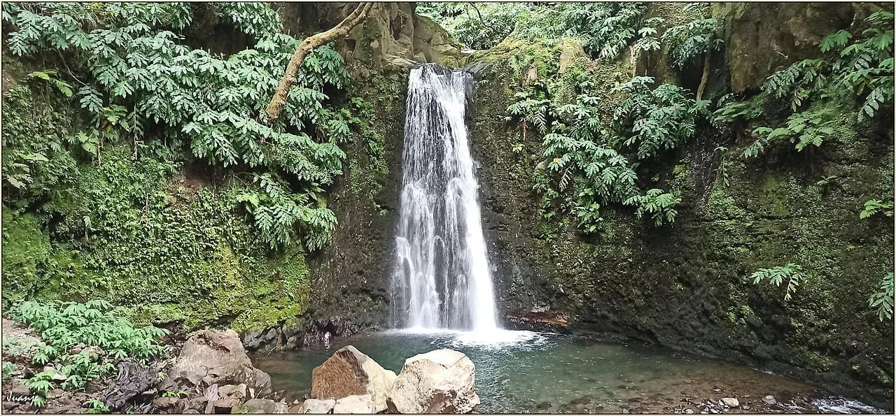
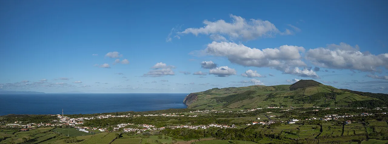
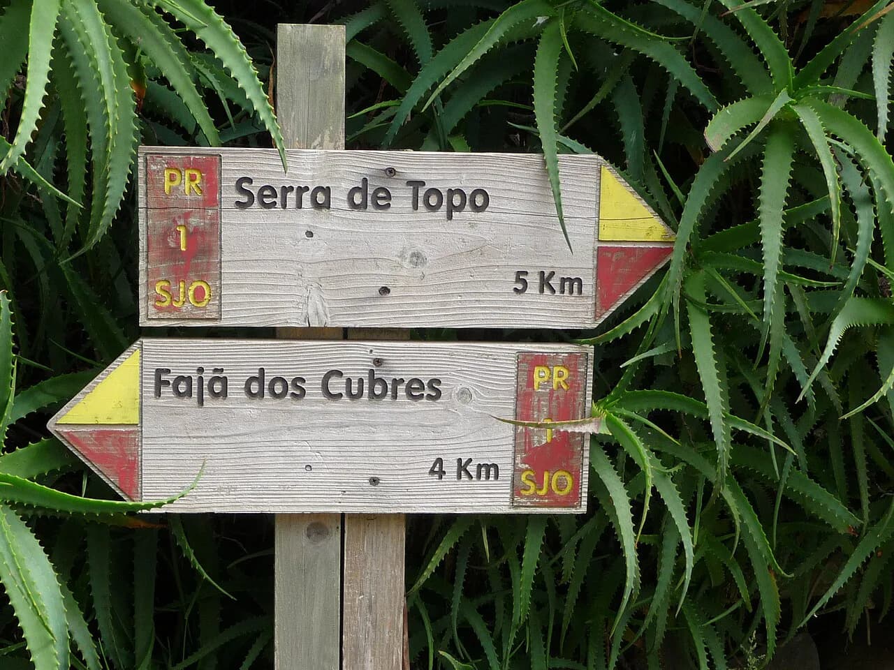
The PR01 SJO from Serra do Topo down to Caldeira de Santo Cristo and Fajã dos Cubres is the island's signature walk: 9.5 km (6 miles), about three hours and 200 m (656 ft) of ascent on the way down to the coast. You start in highland heather and juniper, pass a modest waterfall and drop between cliffs to the coastal plateaus.
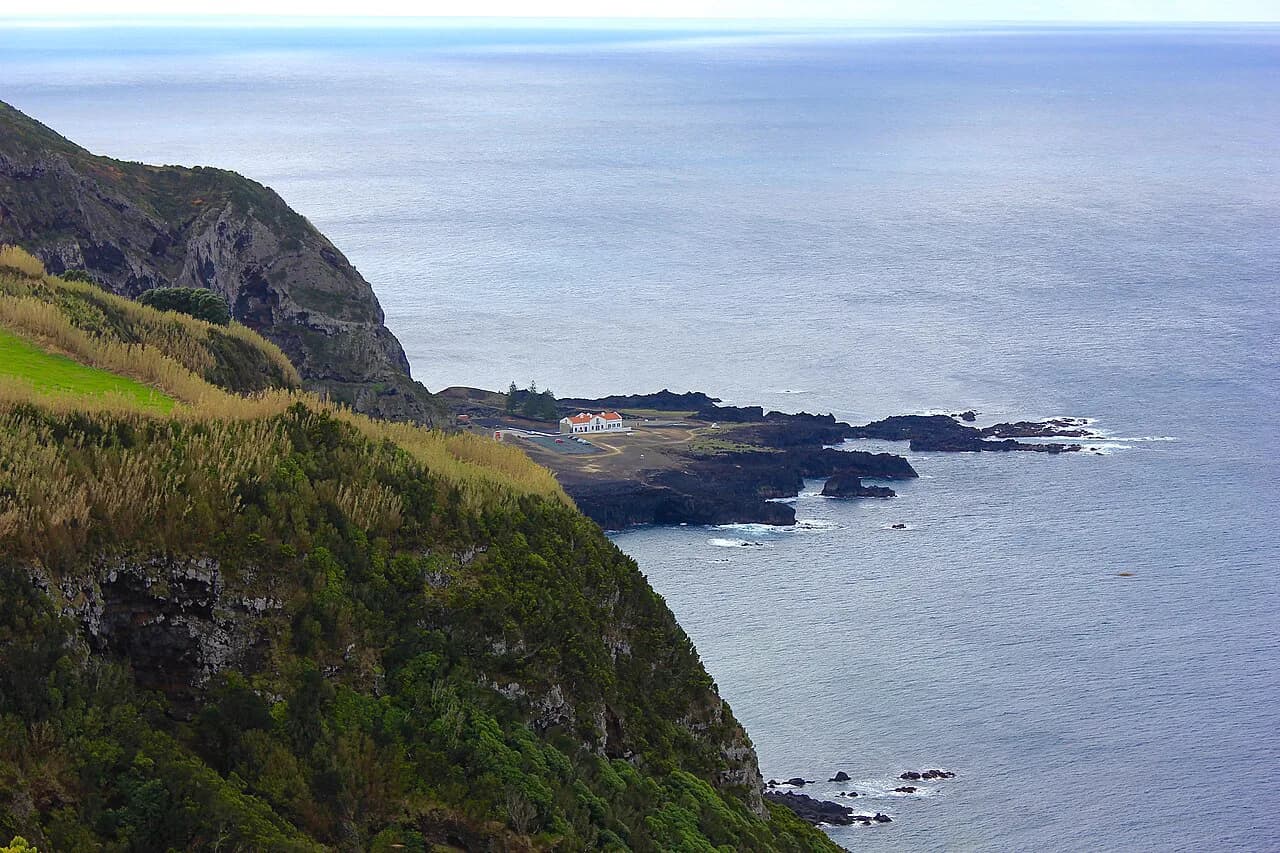
The reward at Caldeira de Santo Cristo is a small heart-shaped natural pool a stone's throw from the Atlantic surf, and the fajãs hold seasonal houses once used by farmers bringing herds down for winter shelter. Phone signal reaches the coast, so a message to a taxi or driver brings a pickup at the finish.
Because the route is linear and finishes at sea level with the car still up at the top, sort your return before you set off. A pre-arranged driver, a taxi from the fajã or a second car left at the lower end all work.
Terceira, Graciosa, Santa Maria, Flores and Corvo
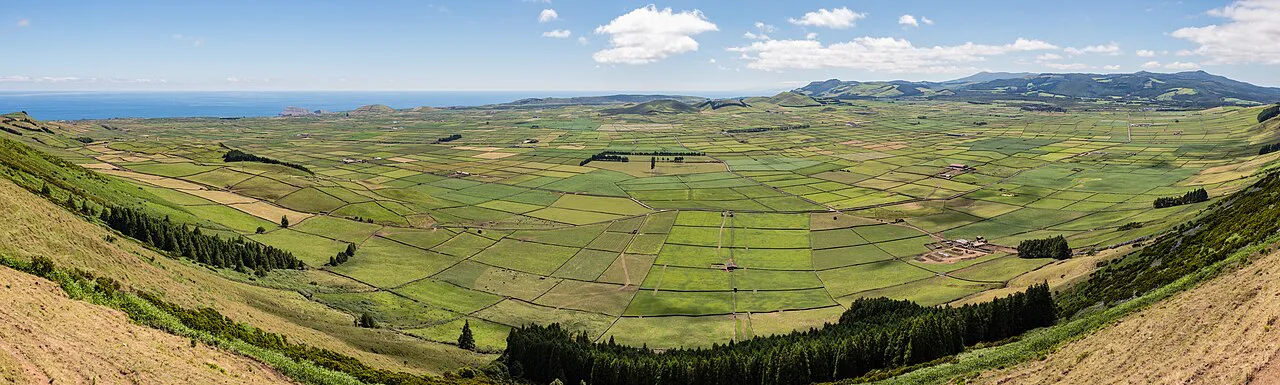
On Terceira, the PRC10 TER loop from Algar do Carvão through Furnas do Enxofre runs 6.2 km (3.8 miles) with 290 m (950 ft) of ascent in two to three hours, passing fumaroles and a volcanic chimney. It is a short, varied half-day that leaves time for Angra do Heroísmo.
Graciosa's PR01 GRA crosses the island from Serra Branca to Praia in 8.7 km (5.4 miles), climbing to 360 m (1,180 ft) at the Caldeirinha crater and finishing on ashy sands by a small harbour in about two and a half hours. Santa Maria's Entre a Serra e o Mar loop covers 9.8 km (6 miles) with 419 m (1,375 ft) of ascent in two to three hours, ending near the pale sands of São Lourenço Bay.
Flores gives you the long day: the PR1 FLO from Miradouro das Lagoas past Poço do Bacalhau to Ribeira do Ferreiro is 16 km (10 miles) with 751 m (2,500 ft) of ascent, around five hours, passing crater lakes before a vertiginous cliffside path and a wall of waterfalls. On Corvo, the PR01 COR to the crater rim is 10.3 km (6.5 miles) and three to four hours, with 303 m (1,000 ft) of ascent.
Trail difficulty and exposure
The official easy, medium and hard grading filters trails by length and climb, but read the route description too. Easy routes can include steep concrete descents that hammer the knees, and medium routes can cross open volcanic ground with little shelter.
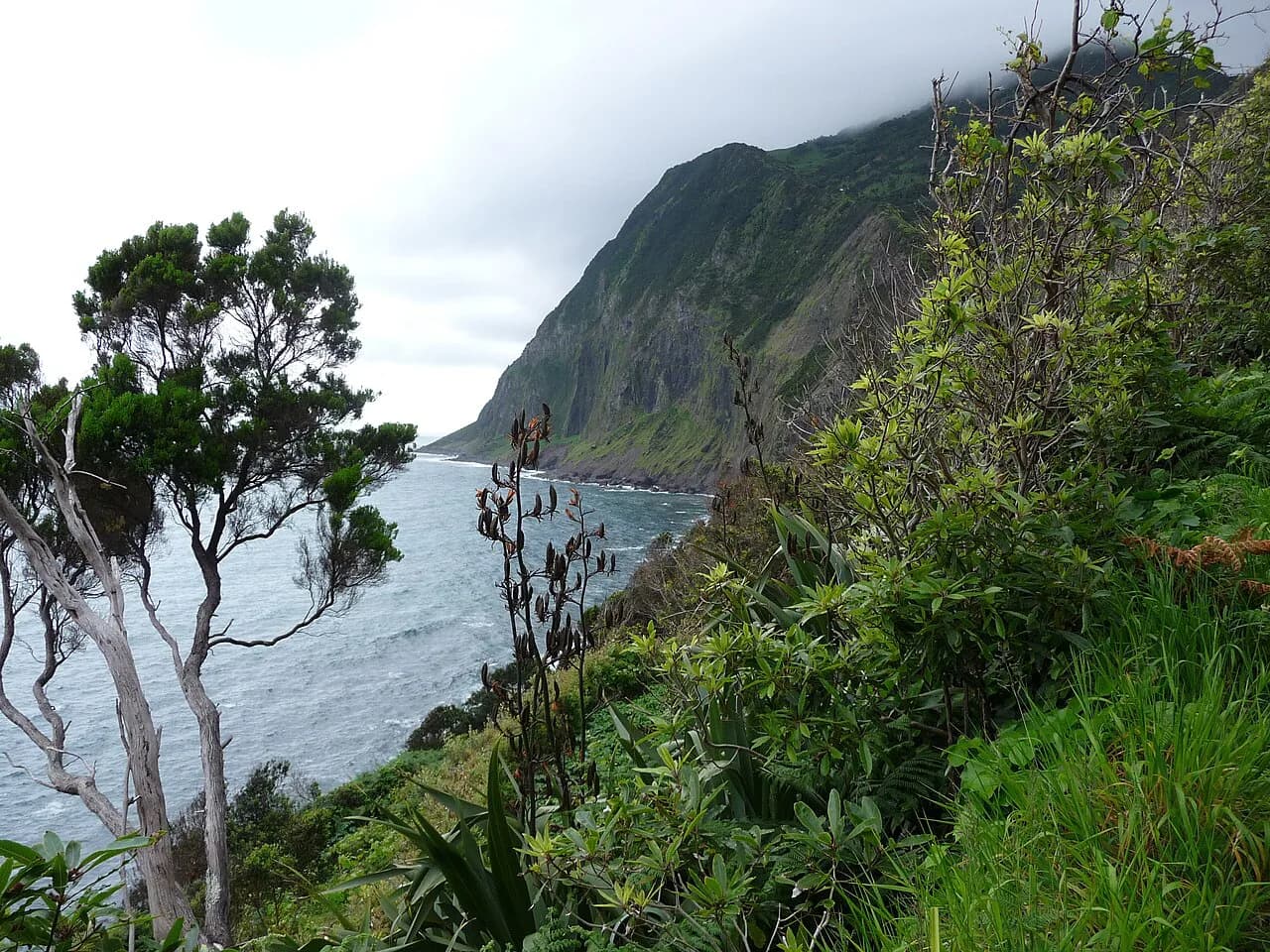
Exposure matters most on the high ground. The Pico summit is steep, loose and weather-beaten, the Faial caldera rim is narrow in places, and the Flores path to Ponta Delgada drops vertically to the ocean, so think about how you handle heights before committing.
Afternoon cloud and rain arrive fast in the highlands, so start early on the long routes and carry a waterproof shell. Trekking poles help on descents and on the slick roots and mud found in laurisilva forest.
Getting between islands and to trailheads
Within the Triangle, ferries link Faial, Pico and São Jorge, with the crossing from Pico to Faial taking no more than twenty minutes and São Jorge about forty-five minutes from Pico, which makes a three-island walking week practical without flights. Inter-island flights cover the longer hops to Flores, Corvo and Santa Maria.
Many trailheads sit above the villages with no public transport, so a hire car is the simplest way in. For linear routes, arrange a taxi, a pre-booked driver or a second car at the finish rather than relying on a lift turning up.
On São Miguel, the Sete Cidades village has cafes and a taxi rank, making the rim-to-lake route straightforward without your own vehicle at the top. Elsewhere, check locally whether a taxi can meet you at the end before you set off.
Huts, inns and where to sleep
The Azores do not have an alpine hut network; you sleep in villages and towns and walk out from there. Base near Sete Cidades or Ponta Delgada on São Miguel for the crater and tea routes, and stay in Madalena on Pico for the vineyards and mountain trailhead.
For the Triangle, Horta on Faial and Velas on São Jorge put you close to the ferry and the main trailheads, while Calheta and the north-coast villages work for São Jorge's fajã walks. On Flores, Fajã Grande is the natural base for the waterfall route.
Book accommodation well ahead for July and August, when inter-island ferries and guesthouses fill with walkers and families.
When to go
Late spring through early autumn gives the most settled weather for rim and summit walks, and the sea pools at their most inviting. High summer brings the busiest viewpoints and the warmest coastal walking.
Cloud sits on the high ground at any time of year, and the Azores' changeable Atlantic weather means a clear morning can turn grey by lunchtime. Build a spare day into any plan built around a summit or a rim walk.
Fees, permits and rules on the trails
The Azores trails are public paths, and the official portal is the place to check for alerts and route conditions before you travel. It also lists the trails by island, difficulty, extension and shape, so you can match a route to your time.
A licensed guide is needed to descend into Faial's Caldeira, and the Pico summit is best attempted with a guide if you are new to exposed volcanic terrain. Arrange either through a local operator before you arrive.
What to wear and carry
Bring a waterproof shell, a warm mid-layer and sturdy boots with good grip for volcanic rock and forest roots. Add trekking poles for the steep concrete and stone descents, and a swimming costume and towel for the sea pools on Pico and São Jorge.
Carry water and snacks; facilities are limited above the villages. A small Dry bag for electronics is worth it in laurisilva cloud forest, where damp is constant.
Where to find trail maps and GPS tracks
The official Azores Trails portal has route pages filtered by island, difficulty, length and shape, with waymarking notes. Use it to plan which routes fit your days and to see which are circular and which are linear.
Red and yellow waymarks are hard to lose on the main routes, but a GPS track is good backup in cloud, especially in the Faial highlands and the Pico vineyards.
A five-day island-hopping plan
Start on São Miguel with the Sete Cidades rim route and the Gorreana tea fields, then fly or ferry to Faial for a caldera-rim morning or a shortened Dez Vulcões. Cross to Pico for the flat Criança Velha vineyard walk and the sea pools, saving the summit for a settled day if you have a guide.
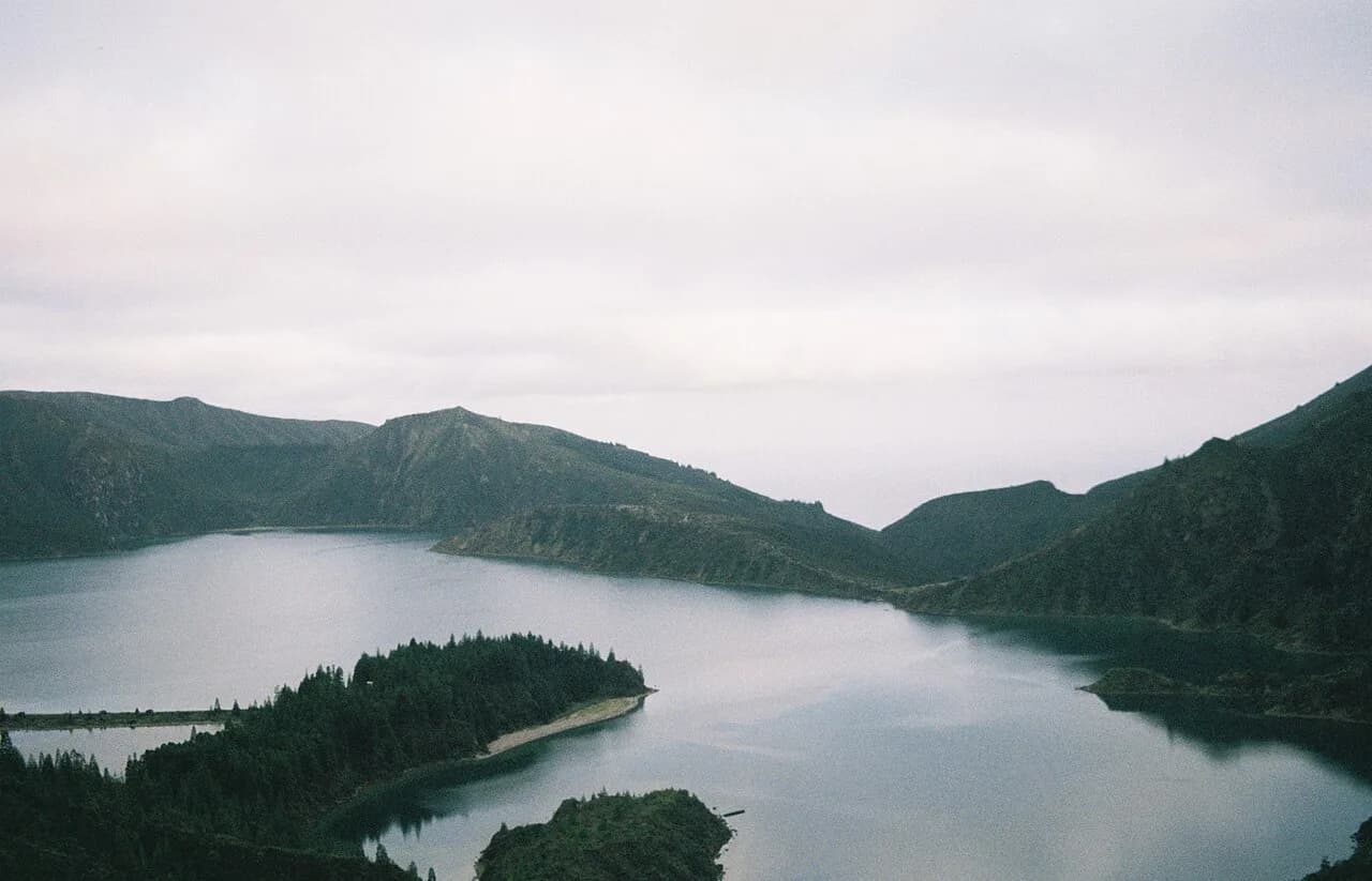
Finish on São Jorge with the PR01 SJO descent to the fajãs, with a pickup waiting at the coast. If you prefer a shorter summit walk on São Miguel instead of the full crater loop, the Lagoa do Fogo Hike fits well into the first day.
Plan Your Azores Hiking Trip
Choose two or three islands rather than trying to cover the whole archipelago, match the long linear routes to a settled forecast, and arrange your return transport before you set off. The Pico vineyards and São Miguel crater rims give you the classic Azorean walking day without a guide; the Pico summit and the Faial caldera descent are the trips to plan around a guide and a clear window.
If you want a warmer, drier island base between walks, see our guide to hiking in Madeira for a contrasting Atlantic island.
Explore more Azores hiking guides
Frequently Asked Questions
Is hiking in the Azores difficult?
It depends on the route. The islands have easy, medium and hard trails, from flat vineyard circuits and crater-rim paths to the steep Pico summit and the long Dez Vulcões traverse. Most hikers can enjoy the marked easy and medium routes, while the summit and the Faial caldera descent suit people with good fitness and experience on exposed ground.
Which Azores island is best for hiking?
São Miguel suits first-time visitors with the Sete Cidades crater rim and tea-field walks, while the central Triangle of Faial, Pico and São Jorge gives classic volcano, caldera and coastal-plateau routes in one ferry-linked cluster. Flores offers a long waterfall-and-lake day for those with more time.
How long does the Sete Cidades hike take?
The crater-side route is a touch under 8 km (5 miles), officially rated easy, and finishes with a steep descent into the village. The full loop around the lake runs 20.3 km (12.6 miles) with 769 m (2,522 ft) of ascent and takes six to seven hours.
Do you need a guide to climb Pico Mountain?
The Pico summit trail is an out-and-back of 6.3 km (4 miles) with 1,066 m (3,500 ft) of ascent, taking six to eight hours, on steep loose ground with a short final cone where you use your hands. Many hikers go with a licensed guide for the exposure and the navigation; check current details with local operators when you plan.
How do you get back to the start of a linear trail in the Azores?
Arrange a pickup before you set off. On São Jorge you can message a driver from the fajãs, where phone signal reaches the coast, and on Faial the Dez Vulcões finishes at Capelo. A pre-booked taxi or a second car at the end is the most reliable option on both.
When is the best time of year to hike in the Azores?
Late spring through early autumn gives the most settled weather for summit and rim walks and the best conditions for the sea pools. Cloud sits on the high ground at any time of year, so build a spare day into any plan built around the Pico summit or the Faial caldera.
Sources
Trail notes for your next trip
Optional updates when we add or revise hiking guides.
You might also like
Continue reading
More guides you'll find useful