Black Forest Hiking: Best Trails and Bases to Choose
Plan Black Forest hiking around long-distance trails, day hikes from Freiburg, Titisee and Triberg, cable-car descents and the northern national park.
On this page
Black Forest hiking suits two quite different trips. One is a base-and-daypack holiday of forest loops, waterfall paths and cable-car descents; the other is a multi-day traverse of the Schwarzwaldverein's long-distance routes, which were laid out from 1900 onward and carry a waymark through the whole region.
Because the region is roughly 160 kilometres (100 miles) from north to south, choosing a base comes before choosing a trail. The northern national park, the central Kinzig valley and the southern highlands each offer a distinct mix of trail length, transport and terrain.
What Black Forest hiking offers and who each region suits
The Black Forest is a mountainous region in the southwest corner of Germany, on the eastern side of the Rhine valley. Terrain and weather differ enough between north, center and south that hikers plan them as separate destinations rather than one trail network.
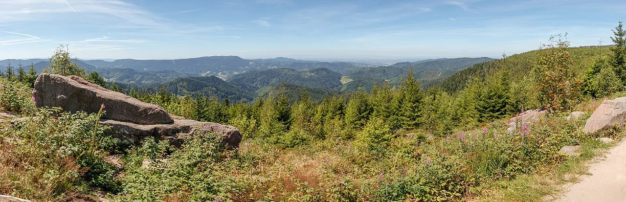
The north holds the national park and short loops around the Hornisgrinde and Mummelsee, which suits walkers who want variety in a compact area. The center is waterfall and valley country around Triberg and the Kinzig valley towns. The south delivers the high, open ridges and the longest stage-based routes.
Hikers with a week or more should look at the long-distance trails. Those with two to four days are better served by the highlands around Titisee and Freiburg, where the rail line ties together short walks, mountain access and stage sections you can join or leave.
How the region is laid out: national park, highlands and rail links
The Nationalpark Schwarzwald sits in the northern part of the region and covers only a small share of the whole forest, which keeps its trails short and concentrated. Loops around the Hornisgrinde ridge and the Mummelsee lake make up the core of a day there.
The southern highlands, or Hochschwarzwald, sit above Freiburg and around Titisee, and the premium routes here are waymarked and designed for scenic half- and full-day walking.
Rail is the structuring fact of the southern Black Forest. The line between Freiburg, Titisee and Donaueschingen links the main bases, and two loops from Titisee are laid out specifically to show off the bridges and tunnels of that route.
Long-distance routes: the Westweg from Pforzheim to Basel
The Westweg runs roughly 290 kilometres (180 miles) from Pforzheim in the north to Basel, though the real length depends on the variant you follow. It crosses the Black Forest National Park and climbs the Feldberg on its way south, and the full route accumulates around 8,000 metres (26,250 feet) of ascent.
Both variants split into 12 or 13 day stages, and most stages run beyond 20 kilometres (12.4 miles), which makes for long, sustained days rather than short bursts. Walkers should read that stage pattern as the key fitness decision on this trail.
The split happens at Titisee. The western variant heads over the Feldberg, the highest ground of the route, while the eastern variant turns more directly south; the choice trades summit exposure and open highland views for a straighter line.
For a stage-by-stage breakdown of the route, the westweg route guide sets out the variants and the daily structure in more detail.
Long-distance routes: Mittelweg and Ostweg
The Mittelweg also starts in Pforzheim and heads south near the Swiss border. It runs around 230 kilometres (143 miles) via Freudenstadt, the Nagold and Kinzig valleys, Triberg and the Schluchsee to Waldshut, and was marked out in 1903.
Its nine daily stages vary from 13 to 31 kilometres (8 to 19 miles), a much wider spread than the Westweg. That range makes it the more flexible of the two for hikers who want shorter days in the middle of a trip.
The Ostweg is the eastern of the three, skirting the eastern edge of the region from Pforzheim to Schaffhausen on the upper Rhine. The 245-kilometre (152-mile) route passes through the Nagold valley and Freudenstadt, then Villingen-Schwenningen, the Danube crossing at Geisingen and on to the Swiss border.
The Ostweg uses 12 daily stages, so the distance per day comes out a little easier than on the Westweg. Hikers comparing all three should weigh stage length rather than total distance alone.
The Schluchtensteig gorge route
The Schluchtensteig strings together seven gorges over almost 120 kilometres (75 miles) in the southern Black Forest, usually walked in six stages of around 20 kilometres (12.4 miles) each. It starts at Stühlingen, runs through the Wutach gorge, passes the Schluchsee and reaches its highest point at the Krummenkreuz at 1,148 metres (3,766 feet).
From the high point the route drops to St. Blasien with its cathedral, crosses high moorland to the pilgrimage village of Todtmoos, and finishes by descending the Wehra valley past castle ruins into Wehr. The sequence means the most demanding ground comes in the middle of the traverse.
Gorge walking here means damp rock, steps and sections where surefootedness matters more than distance. Even the region's long-distance trails call for proper equipment, a good fitness base, a head for heights and steady footing.
The schluchtensteig stage guide covers the day splits and the section around the Schluchsee in detail.
Day hikes in the southern Black Forest: the Schauinsland descent
Above Freiburg, the Schauinsland cable car gives the simplest high-level day out in the southern Black Forest. The walk back down from the top station takes about five hours and covers roughly 15 kilometres (9.3 miles), all of it downhill, so it suits hikers who prefer a lift to a climb.
Check the cable car's operating season before you build a day around the descent; walkers planning the route on the day of travel should confirm running times with the Schauinslandbahn lift company, which runs the cable car.
Around Freiburg there are also waymarked paths through the wine-growing country below the forest edge, which give shorter, lower walks when the high ground is cloud-covered. The Querweg long-distance route from Freiburg to Lake Constance crosses the same area and has good bus and rail coverage, so day sections work well.
Titisee as a base
Titisee works as a central base for a southern walking break because the train line runs both up and down the valley from the town. The Westweg and the Mittelweg both cross through the Titisee area, so long-distance walkers can join or leave a route here without a car.
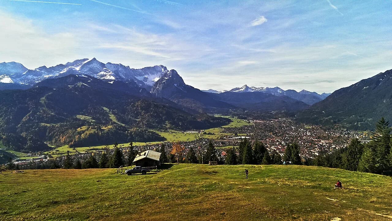
Both the Feldberg and the Schluchsee are easily reached from Titisee, which makes it possible to link a summit day, a lake day and a valley day from one hotel. Two local hiking loops from the town are built around the bridges and tunnels of the railway itself. If you like this mix of lifts, ridges and lake days, hiking in Garmisch-Partenkirchen offers a comparable base-and-daypack alternative in the Bavarian Alps.
Hikers planning to tackle the Feldberg should read the feldberg hike notes on the approaches and the high ground before committing to a summit day in mixed weather.
Central Black Forest: Triberg and the Kinzig valley
Triberg is the anchor of the central Black Forest, and its waterfall, the highest in Germany, draws walkers onto routes on both sides of the gorge. Hikers based in the town also have waymarked routes out to Schonach and St. Georgen.
The Kinzig valley, with Gengenbach, Haslach and Schiltach, offers gentler valley walking between historic towns. The Westweg crosses the valley at Hausach, and the old pilgrimage route known as the Kinzigtäler Jakobusweg runs the length of the valley toward Strasbourg.
This is the region for hikers who want a waterfall climb in the morning and a town walk in the afternoon, rather than a stage-based traverse. Trail surfaces are generally good, though paths beside the cascades are stepped and wet.
Northern Black Forest: national park loops
The northern national park area is the most compact part of the Black Forest for walking. Loops around the Hornisgrinde and the Mummelsee give a day's variety with minimal travel between trailheads, and the lake itself sits close to the ridge paths.
Baiersbronn makes a good base for the national park and for the harder trails nearby. Its position just west of the park puts several marked routes within easy reach of town accommodation.
Expect ridge wind and quick changes in cloud on the open ground above the treeline here; a shell and a map stay useful even on a short loop.
Baiersbronner Seensteig: the step up for experienced walkers
The Baiersbronner Seensteig covers 80 kilometres (50 miles) across five day stages and takes in most of the lakes and landmarks of the limestone karst country around Baiersbronn. It is the trail to choose once day loops feel too short.
The route is aimed at experienced walkers, so plan it as a proper multi-day outing with a pack rather than a series of casual walks. Karst terrain means rocky, uneven ground in places and fewer reliable water points than in the high valleys.
Five stages covering 80 kilometres (50 miles) work out to roughly 16 kilometres (10 miles) a day. Book beds in Baiersbronn and the surrounding villages before you set out, since stage lengths are short enough to tempt late arrivals to push on.
Freudenstadt and easier day circuits
Freudenstadt has plenty of easier circuits for day walks and also sits on a stage of the Ostweg, so it doubles as a gentle base and a link to the long-distance network. That combination suits mixed groups where some want a short loop and others want a stage.
Freudenstadt also lies on the Mittelweg, a few days south of Pforzheim, which means a walker can pick up a stage heading south toward the Nagold valley. Use the town for a first taste of Black Forest waymarking before committing to a full traverse.
When to go: seasons and weather on high routes
The southern highlands publish their premium walking routes for the warmer months, when the marked paths are at their best; outside that window, high ground such as the Feldberg and the Krummenkreuz can hold snow well into spring and return to it early in autumn.
Summer brings the most reliable conditions but also afternoon storms on exposed ridges. On the Westweg and Schluchtensteig, start early enough to be off the high ground by mid-afternoon, and treat any gorge section as a place to avoid during heavy rain.
Spring and autumn suit the lower trails: the Kinzig valley, the wine-country paths around Freiburg and the national park loops. Carry a shell whatever the month, because the forest and ridge tops catch weather that the valley towns do not.
Huts, lodging and luggage transfer on multi-day routes
On the long-distance routes, plan the day-to-day stage ends first and the beds second. The Schwarzwaldverein's stage structure puts you in villages and small towns at the end of most days, so the Westweg, Mittelweg and Ostweg are inn-to-inn walks rather than hut traverses in the alpine sense.
For hikers who want the route organised, guided and self-guided packages combine hotels with luggage transfer, so you carry only a daypack. Self-guided formats suit confident walkers who want a route and reservations handled, while guided days add a local guide and adjust to the group's fitness.
Tours run from a single day up to eight days, spanning short day hikes and challenging long-distance sections. Shorter packages include the Black Forest Trail and St Peter's Way, and some combine two regions with a private transfer between them.
Trailheads, buses and trains
The rail spine between Freiburg, Titisee and Donaueschingen, with bus connections beyond, is the backbone of car-free Black Forest hiking. Long-distance routes that cross the southern highlands can be joined and left at stations on that line.
For the westweg start, Pforzheim sits on the northern rail network, and Basel is the southern finish, so a point-to-point walk works by train at both ends. Hikers taking the Ostweg finish at Schaffhausen, and the Schluchtensteig runs from Stühlingen to Wehr, both with rail access.
Day hikers should build the lift or train leg into the plan first. For the Schauinsland descent, ride up and walk down; for Titisee loops, the town's station puts you on the trail without a car.
Difficulty, exposure and equipment
Black Forest trails are generally less sustained than alpine routes, but that does not make them casual walks. The long-distance routes require proper equipment, a good level of fitness, a head for heights and a degree of surefootedness.
The specific hazards are predictable: wet, stepped gorge paths on the Schluchtensteig, wind and mist on open ridge ground above the treeline, and snow on the Feldberg and Krummenkreuz at the edges of the season. Boots with grip and a waterproof layer cover most of it; a map and compass stay useful when cloud drops.
Stage length is the real difficulty on the Westweg, where most days pass 20 kilometres (12.4 miles). Train for consecutive long days rather than one big day, and cut the day short with a rail connection if the weather turns.
Guided and self-guided formats
Guided hiking in the Black Forest is offered as private days, from three to five hours, with the route adjusted to your fitness and starting at around 5 kilometres (3 miles). It suits beginners and hikers who want local route knowledge without planning.
Self-guided formats give you a fixed route, hotel bookings and luggage transport without a guide on the trail. The Ravenna Gorge day hike is the smallest version, an 8-kilometre (5-mile) walk reached by a short train ride from Freiburg and followed with a phone app.
Longer self-guided options run three to five days on the Black Forest Trail and St Peter's Way, with daily distances between 9 and 19 kilometres (5.5 and 12 miles) depending on the package. Mixed formats also exist, such as e-bike and hike combinations in the central Black Forest.
Which base suits which hike
Freiburg suits cable-car days on the Schauinsland, wine-country walks and the Ravenna Gorge, with the highlands a short train ride away. It is the best base for hikers who want a city in the evening and short travel to trailheads.
Titisee suits a mixed week: the Feldberg, the Schluchsee, the Westweg and Mittelweg and the local rail loops all work from one hotel. Baiersbronn is the base for the Seensteig and the northern national park, and Triberg for the waterfall and central valley walks.
Walkers undertaking a full traverse should plan by route endpoint rather than base: Pforzheim for the start of all three north-south trails, Basel or Schaffhausen for the finishes, and Stühlingen for the Schluchtensteig.
Plan Your Visit
Black Forest hiking comes down to two choices: which region, then whether you walk a stage or a loop. Pick the north for compact national park loops, the center for waterfall and valley days, and the south for high ridges, cable cars and the long stage routes. If you are weighing this region against long-distance routes elsewhere in the country, the guide to hiking in Germany sets out the main trails and where to start.
Build the trip around the rail line where you can, then add the day length that matches your fitness. Confirm lift operating seasons and hut or hotel bookings with the lift company or hotel directly before you travel, and leave the high ground early when storms are forecast.
Explore more Black Forest hiking guides
Frequently Asked Questions
What is the best hike in the Black Forest?
There is no single best hike: it depends on whether you want a day out or a traverse. For a single day, the descent from the Schauinsland cable car above Freiburg covers about 15 kilometres (9.3 miles) in roughly five hours. For a multi-day route, the Westweg from Pforzheim to Basel is the classic, with 12 or 13 stages and around 8,000 metres of ascent.
What is the best month to visit the Black Forest for hiking?
The southern highlands publish their premium walking routes for the warmer months, when high ground such as the Feldberg and the Krummenkreuz is normally free of snow. Summer gives the most reliable conditions but brings afternoon storms on exposed ridges, while spring and autumn suit lower trails like the Kinzig valley and the national park loops.
How long does it take to hike the Black Forest?
The region is too large to cross in one trip on foot, so length depends on the route. The Westweg takes 12 or 13 days, the Mittelweg nine, and the Ostweg 12. The Schluchtensteig is usually walked in six days of around 20 kilometres each, and the Baiersbronner Seensteig in five.
How hard is the Black Forest trail?
Long-distance routes call for proper equipment, a good fitness base, a head for heights and steady footing. The Westweg is the hardest of the three north-south trails by daily load, with most stages over 20 kilometres. Day loops in the northern national park and around Freudenstadt are far gentler.
Can you hike the Black Forest without a car?
Yes, in the southern highlands especially. The rail line between Freiburg, Titisee and Donaueschingen links the main bases, with bus connections beyond, and both the Westweg and Mittelweg cross the Titisee area. Pforzheim at the northern start and Basel, Schaffhausen or Wehr at the finishes are all accessible by train.
Where are the best day hikes near Freiburg?
The Schauinsland cable-car descent is the standout, at about 15 kilometres and five hours downhill. The wine-country paths below the forest edge give shorter alternatives, and the Querweg toward Lake Constance offers day sections with bus and rail coverage. The Ravenna Gorge walk is a short train ride from the city.
Sources
Trail notes for your next trip
Optional updates when we add or revise hiking guides.
You might also like
Continue reading
More guides you'll find useful