Hiking in Germany: Long-Distance Trails and Where to Start
Plan hiking in Germany with long-distance trails like the Eifelsteig, Rheinsteig and Goldsteig, plus regions, stages and bases for beginners and alpine hikers.
On this page
Germany rewards hikers who like choices: long-distance stage trails along rivers and ridges, dense forest paths in the Black Forest, sandstone rock country in Saxon Switzerland, and alpine day hikes in the Bavarian Alps. You can string together a week of hut-to-hut walking or build a trip from a single base with shorter loops. The trick is to pick the format first — through-hike or day hikes — and then the region that fits your fitness and travel dates.
Most classic German long-distance trails run stage by stage between towns with rail connections, which makes them easy to walk in sections rather than end to end. Southern Germany's alpine areas suit hikers who want big views and are comfortable with sustained climbing, while the central uplands offer gentler ridge and valley walking. Rain falls in every season, so pack rainwear and expect trails to stay busy in the May-to-October window when most walking holidays run.
Where a route is on your shortlist, plan the start and finish towns before anything else: that decision determines your train tickets, your first night's bed and how many stages you can realistically walk. The sections below group trails by what you are deciding — stage count, ridge or valley character, and whether the route is a lowland path or an alpine day. Guided options exist for walkers who prefer a certified local guide to handle route-finding and logistics.
Long-distance trails at a glance
Germany's long-distance trails differ most in stage count and terrain. The Eifelsteig runs 313 km (194 mi) in 15 stages from Aachen's Kornelimünster district to Trier, through volcanic country and Eifel National Park. The Moselsteig covers 365 km (227 mi) in 24 stages through the Moselle Valley, and the Rheinsteig runs 320 km (199 mi) from Bonn to Wiesbaden along the Rhine with castles and vineyards as constant companions.
The Goldsteig is the longest certified trail in Germany at roughly 660 km (410 mi) from Marktredwitz to Passau, connecting the Upper Palatinate Forest with the Bavarian Forest. For scale, the Rheinsteig accumulates about 10,093 m (33,114 ft) of ascent and 10,064 m (33,018 ft) of descent over its full length, while the Goldsteig totals roughly 7,169 m (23,520 ft) of ascent and 7,389 m (24,242 ft) of descent. Those numbers tell you the Rheinsteig is a hillier, more relentlessly up-and-down route than its river-valley setting suggests.
Shorter through-routes suit a single week. The Malerweg in Saxon Switzerland runs roughly 112 km (70 mi) and most walkers take eight to nine days, and the Hochrhöner crosses the Rhön Biosphere Reserve over 180 km (112 mi) in about nine days from Bad Kissingen to Thuringia. The Albsteig covers 83.3 km (52 mi) along the Albtrauf escarpment, where the drop reaches up to 300 m (984 ft) and the route passes castles, the Urach Waterfall and a stalactite cave.
The Eifelsteig: volcanic country from Aachen to Trier
The Eifelsteig starts at Kornelimünster near Aachen and finishes in Trier, crossing the volcanic Eifel and the high moorland of the Hohes Venn. Its 15 stages pass through Eifel National Park, with reservoirs, valleys and plateaus breaking up the walking, and a 30 m (98 ft) suspension bridge over flowing water is one of the signature moments. The route is rated intermediate, so it suits hikers with some multi-day experience rather than a first walking holiday.
Because the trail runs between two cities with rail stations, you can treat it as a point-to-point trip and arrange your return from Trier once you finish. Late spring to early autumn is the recommended window, when the moorland paths and forest tracks are most likely to be dry. Carry a detailed map or GPS and sturdy boots; the varied surfaces and open plateau sections change character quickly with weather.
The Rheinsteig: castles and vineyards along the Rhine
The Rheinsteig runs 320 km (199 mi) from Bonn to Wiesbaden, following the Rhine's narrow valleys past castles, vineyards and medieval villages. It is a moderate multi-stage route that most hikers break into sections, and the Drachenfels near the Bonn end is an early highlight of the high-level path. The plateau-to-valley climbing adds up over a full traverse, so plan shorter days if you are new to stage walking.
Both ends are well connected by train, which makes section-walking easy: pick a stage town, walk one or two days and ride back. Spring through autumn is the practical season, and the vineyard slopes are at their most colorful in fall. Expect company on the popular castle stages, and start early on warm days because much of the route is exposed above the river.
The Moselsteig: 24 stages through the Moselle Valley
The Moselsteig stretches 365 km (227 mi) over 24 stages along the Moselle, with vineyards, Roman monuments, forests and castles along the way. Stage 1 runs from Perl to Palzem at 24.7 km (15.3 mi), while Stage 20 from Treis-Karden to Moselkern covers 13.8 km (8.6 mi) through forests and fields toward a castle. The wine-country setting means the trail passes wineries where you can stop after a day's walking.
Spring to autumn is the recommended window, and the valley towns along the river give you frequent rail and bus options between stages. Because the route follows a river rather than a single ridge, you can pick flat valley sections or climb to vineyard viewpoints depending on the day's energy. Carry a refillable bottle and expect warm exposure on the south-facing vineyard slopes in midsummer.
The Goldsteig: northern and southern variants
The Goldsteig runs about 660 km (410 mi) from Marktredwitz to Passau and splits into two variants partway along. The northern route crosses the Bavarian Forest National Park and is the more athletic challenge, while the southern route lines up peaks through the Anterior Bavarian Forest and follows the Bohemian border toward the Dreisessel's granite rocks. Choosing between them deliberately is the key planning decision: the north aims at national-park forest, the south at a peak-by-peak traverse.
This is a long, multi-week undertaking rather than a week's holiday, so most hikers walk a section. Marktredwitz and Passau both sit on the rail network, giving you flexible start and finish points. The granite formations at the Dreisessel are the route's standout scenery, and the border setting means changeable weather — carry rainwear whatever month you choose. If you want a sense of how German stage trails compare with the continent's classic long routes, the best hikes in europe collection sets them alongside the Camino and the Fisherman's Trail in Portugal.
Ridge walking on the Rothaarsteig and Hermannshöhen
The Rothaarsteig is a high-altitude trail from Brilon to Dillenburg with interactive stations along the way that focus attention on the natural surroundings. The Hermannshöhen run through the Teutoburg Forest and the Egge, passing stone monuments such as the Hermann Monument, which commemorates the battle between Romans and Germanic tribes in 9 AD. Both are Top Trails of Germany and both reward hikers who like ridge walking with historical markers rather than alpine exposure.
These routes suit hikers who want a multi-day trail without sustained steep ground: the walking is on high ground, but the gradients are gentler than the Rhine or Eifel trails. Brilon and Dillenburg anchor the Rothaarsteig, and the Hermannshöhen connect Bielefeld with the Teutoburg Forest region. Spring to autumn gives the best conditions, and the interactive stations make the Rothaarsteig unusually good for mixed-ability groups.
The Hochrhöner across the Rhön Biosphere Reserve
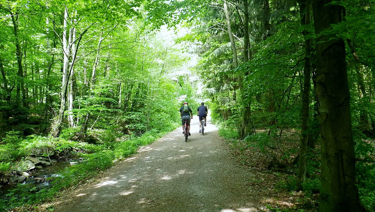
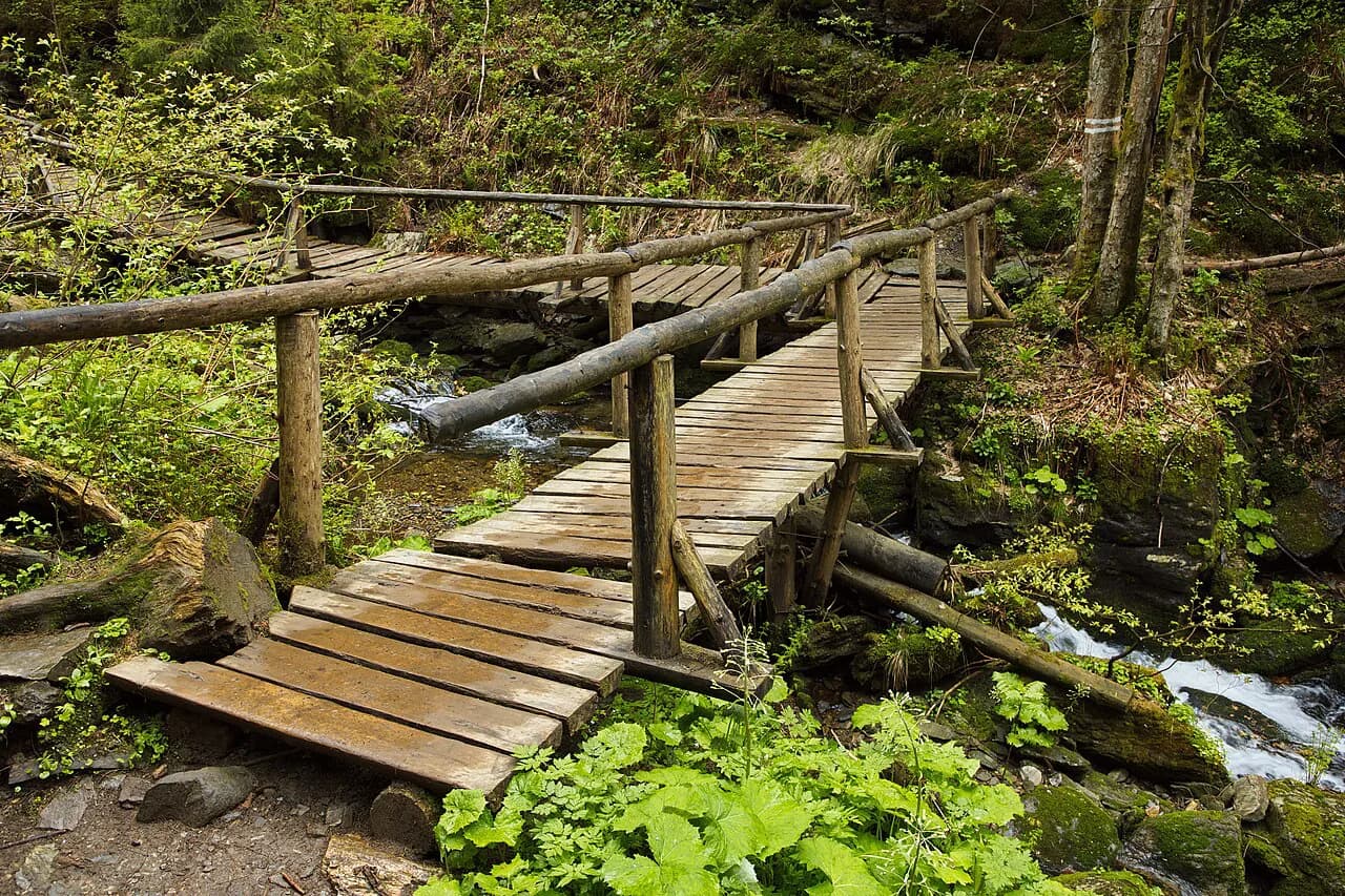
The Hochrhöner crosses the UNESCO Rhön Biosphere Reserve over 180 km (112 mi) in about nine days, running from Bad Kissingen in Bavaria through Hesse to Thuringia. The landscape mixes moors, river valleys, mountain meadows and open summits, and plank paths carry you across the Black Moor and the birch-studded Red Moor. Hikers' cabins along the route give you frequent chances to break the walking into shorter days.
The Rhön also publishes Extraroute circulars that start from parking lots and can be walked in half a day or a full one, which makes the region a good base for day hikers as well as through-walkers. The reserve sits within reach of Frankfurt, so it works as a shorter trip from a city break. Open moorland means little shade and quick weather changes, so carry layers even in summer.
Black Forest and Schluchtensteig options
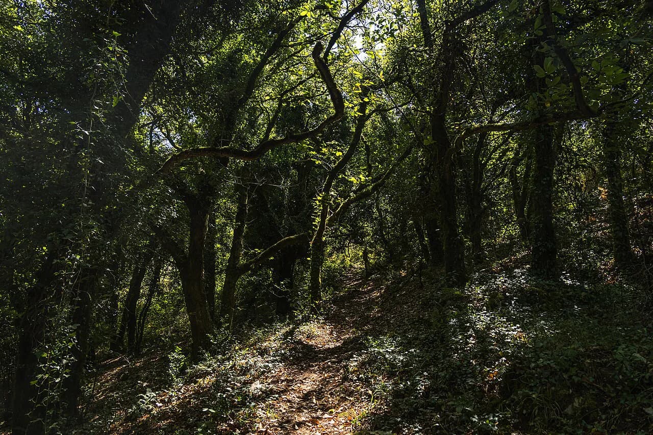
The Black Forest holds around 24,000 km (14,900 mi) of marked trails, from easy waterfall walks to multi-day routes. The Westweg crosses moors, high moorland and heath, the Querweg follows lakeside scenery and the Kinzig Valley path threads a wooded valley. Three landmarks are worth planning around: the 163 m (535 ft) Triberg Waterfalls, reachable on an easy hike and illuminated in the early evening, the Feldberg for a 360-degree panorama, and Schluchsee for lakeside walking.
Near Freiburg, the Schauinslandbahn is Germany's longest cable car and lifts you toward the Schauinsland tower, where the view reaches Mont Blanc on clear days. That makes a high start possible without a long climb, though you should have a plan for descending on foot or riding down. Freiburg works as the base for these western Black Forest hikes, with rail connections to the surrounding valleys.
The Malerweg in Saxon Switzerland
The Malerweg runs roughly 112 km (70 mi) through the Elbe Sandstone Mountains south of Dresden, and most hikers take eight to nine days. The route was restored in 2006 using historical guidebooks, and its bizarre rock formations drew painters in the 18th century and inspired its name. Small inns along the way provide places to stop and rest, which makes stage planning simpler than on remoter trails.
The sandstone terrain is the challenge here: rock steps, narrow passages and iron ladders appear on the classic sections, so wear shoes with good grip and carry enough water. Dresden is the natural gateway, and the trail's villages are linked by rail and bus. Spring through autumn is the practical window; the rock stays slippery after rain, so build in a rest day if you are walking the full route.
Easy day hikes: Allgäu meadows and Rhön Extraroutes
The Allgäu's Wandertrilogie gives beginners three distinct characters to choose from: the Wiesengänger for serene meadows and gentle trails, the Wasserläufer for streams and lakes, and the Himmelsstürmer for steeper alpine climbing. Mountain huts along the routes make good lunch stops, and Neuschwanstein Castle is the region's best-known landmark. The Partnachklamm, a 700 m (2,297 ft) gorge 86 m (282 ft) deep, adds a dramatic short walk to a meadow day.
For a low-commitment first trip, the Rhön's Extraroutes are the simplest format: circular walks from parking lots that take half a day. Both regions let you base in one village and walk a different loop each day rather than committing to a through-route. Check the local tourism office's trail map for the specific loop and its length before you set out, since numbering differs between areas.
Alpine hiking around Garmisch-Partenkirchen, Berchtesgaden and the Zugspitze
The Bavarian Alps around Garmisch-Partenkirchen and Berchtesgaden offer the country's most dramatic day hikes, with the Zugspitze as the highest goal. Guided day hikes and multi-day walking holidays run from both towns, and certified guides hold international qualifications such as UIAGM/IFMGA mountain guide certification. If you want alpine scenery without route-finding on your own, booking a guide is the straightforward way to do it.
Trails above the tree line are usually free of snow between June and September, while lower forest paths open earlier in spring and stay walkable into autumn. Afternoon storms build quickly in summer, so start early and plan to be off exposed ridges and summits by early afternoon. Rain is common year-round in this region, so pack rainwear even on forecast-fair days.
How to reach trailheads by train, bus and cable car
Germany's long-distance trails are laid out so that stage towns have public transport, which is why starting in Munich or Freiburg situates you well for a southern hiking trip. The Murg Valley, Schluchsee and Feldberg areas of the Black Forest are served by rail, and the Schauinslandbahn provides cable-car access to the high ground above Freiburg. For alpine days, Garmisch-Partenkirchen and Berchtesgaden are the transport hubs for their surrounding valleys.
Plan the return leg before you set out: point-to-point trails like the Eifelsteig and Rheinsteig finish in a different city from the start, and the easiest pattern is to leave a car at the finish or buy a return train ticket from there. Cable cars such as the Schauinslandbahn let you cut out a climb, but check the Schauinslandbahn operating calendar before relying on it for the descent. For long-distance trails, the state tourism boards publish stage maps that show the nearest station to each stage end.
Huts, inns and booking stages on long-distance routes
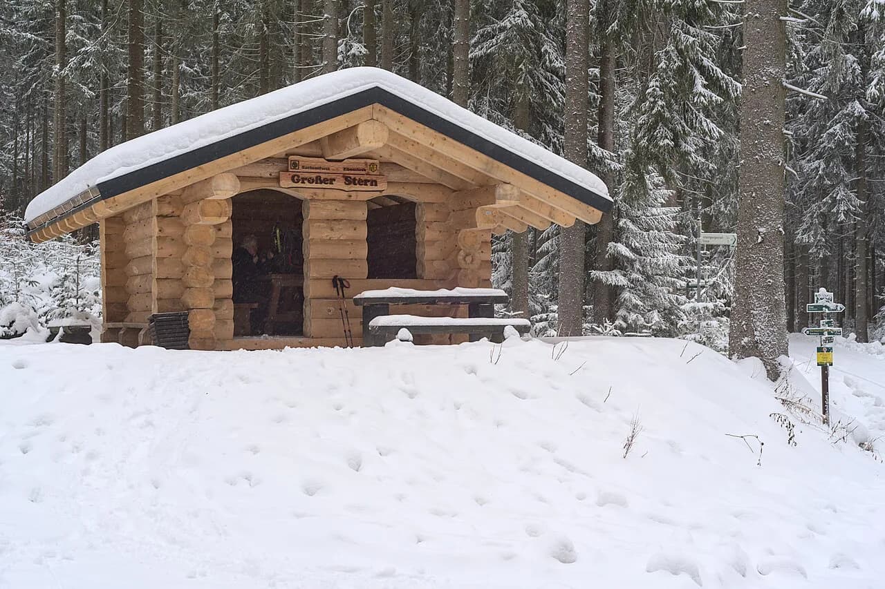
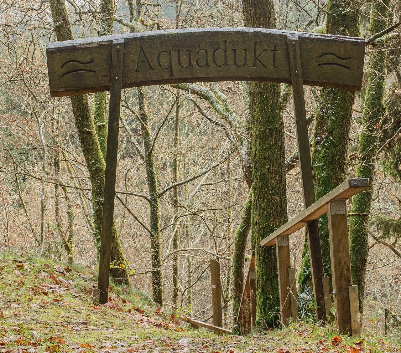
On the long-distance trails, the accommodation pattern differs by region. The Malerweg has small inns along the path, which lets you book shorter days, and the Rhön has hikers' cabins scattered across the reserve. Black Forest and alpine routes rely more heavily on mountain huts, which are reached only on foot. Booking ahead matters most on popular trails in peak season, when stage towns fill up.
On hut-to-hut treks in the Bavarian Alps, the huts have no wifi, which is part of the appeal for walkers who want to disconnect. Book each night's bed with the hut in advance, and carry cash for incidentals since mountain huts often cannot process cards. Guided walking holidays remove the booking burden entirely: the guide company handles reservations and luggage, and you walk with a certified guide.
When to go by region and season
Late spring through early autumn — roughly May to October — is the main window for hiking in Germany, with average daily temperatures between 15°C and 22°C (59°F and 72°F). Alpine trails in the Bavarian Alps are usually best from June to September once snow has cleared. Autumn is particularly good in the Black Forest and Bavaria, when the forests turn red and gold.
Rain falls in every season, and the uplands and alpine valleys see it most often in summer afternoons. For the Eifelsteig, late spring to early autumn is recommended; for the Moselsteig and Rheinsteig, spring to autumn gives the best conditions on the vineyard slopes. Snow can linger on high routes into early summer and return in late autumn, so check the trail you plan against the season before booking.
What to pack and how much difficulty to expect
For most German trails you need sturdy hiking boots, weather-appropriate clothing, a small backpack, water, snacks and sun protection. Routes like the Albsteig are genuinely challenging, requiring you to navigate waterfalls, rivers, steep gorges and rocky ground, so physical fitness matters. On the sandstone of Saxon Switzerland and the moorland of the Rhön, good grip and layers matter more than technical gear.
Wild camping is not generally allowed in Germany, though designated campsites exist along popular routes, so plan overnight stays in huts, inns or official campsites. Many trails are dog-friendly, but keep your dog on a leash and clean up after it. If you hike alone, tell someone your plan, carry a phone and stick to marked trails.
Choosing a route by fitness, time and season
Match trip length to trail format first. A week fits the Malerweg's roughly 112 km or the Hochrhöner's 180 km, a long weekend suits a section of the Rheinsteig or Moselsteig, and the Goldsteig or Eifelsteig are multi-week commitments best walked in stages. If you have only a few days, base in one town — Freiburg for the Black Forest, Garmisch-Partenkirchen or Berchtesgaden for the Alps — and walk day loops.
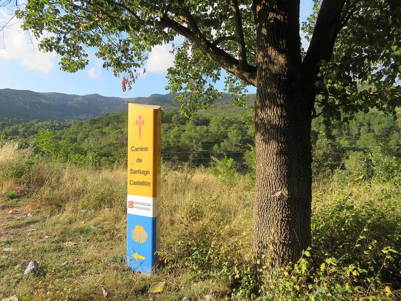
Match fitness to terrain next. Ridge trails in the Rothaarsteig and Hermannshöhen are gentler than the repeated valley-to-plateau climbing of the Rheinsteig, and alpine days around the Zugspitze demand more than the Allgäu's meadow routes. Finally, check seasonality: alpine routes are June-to-September propositions, while the river-valley and forest trails work from spring through autumn. If you are coming from outside Germany and want a longer European trek, the Camino de Santiago offers a contrasting point-to-point format. For a similarly alpine alternative north of the Alps, hiking in Switzerland makes a useful comparison for ridge and high-mountain days.
Book huts and stage-town beds as soon as your dates are fixed, and confirm the operating season for any lift or cable car you plan to use. For alpine objectives, decide early whether you will walk unguided or join a certified guide, since guided trips fill up in summer. On any multi-day route, carry a detailed map or GPS and check the weather for the days you will be on exposed ground.
Plan Your Visit
Germany works as a hiking destination because it lets you choose the format: a week on the Malerweg, a fortnight on the Goldsteig, a base in Freiburg for Black Forest day walks or a guided alpine day from Garmisch-Partenkirchen. Pick the start and finish towns first, then fit stages to the days you have and the season you can travel.
Before booking, match the trail's terrain to your fitness, reserve huts and stage towns early, and check the operating calendar for any lift you intend to use. The May-to-October window covers most lowland and forest routes, while the Bavarian Alps are best from June to September. That is enough to turn a shortlist into an itinerary.
Frequently Asked Questions
Where can I hike in Germany?
Germany has marked trails in every region: long-distance routes such as the Eifelsteig, Rheinsteig, Moselsteig and Goldsteig, forest paths in the Black Forest, sandstone country in Saxon Switzerland, moorland in the Rhön, and alpine day hikes around Garmisch-Partenkirchen and Berchtesgaden. Beginners can start with the Allgäu meadow routes or the Rhön's half-day circulars.
What is the longest certified hiking trail in Germany?
The Goldsteig, at roughly 660 km from Marktredwitz to Passau, is the longest certified trail in the country. It splits into a northern route through Bavarian Forest National Park and a southern route through the Anterior Bavarian Forest, so you choose a variant before planning stages.
Which German long-distance trails can be done in stages?
All the major trails work in stages because they pass through towns with transport links. The Eifelsteig has 15 stages, the Moselsteig has 24, and the Rheinsteig runs between Bonn and Wiesbaden. The Malerweg takes most hikers eight to nine days, and the Hochrhöner about nine. Pick a section that matches your available days.
When is the best time to hike in Germany?
Late spring through early autumn, roughly May to October, suits most trails, with average daily temperatures between 15°C and 22°C. The Bavarian Alps are usually best from June to September once snow clears. Autumn is especially good in the Black Forest and Bavaria when the forests change color.
Are there easy hikes in Germany for beginners?
Yes. The Allgäu's Wiesengänger route is designed for gentle meadow walking, and the Rhön's Extraroutes are half-day circulars from parking lots. The Triberg Waterfalls walk in the Black Forest is an easy hike. Start with shorter loops before committing to a multi-day trail.
Can you hike hut to hut in Germany?
Yes, particularly in the Bavarian Alps and the Black Forest, where mountain huts sit along the routes. The Malerweg uses small inns, and the Rhön has hikers' cabins. Book each night with the hut or inn operator in advance, and note that alpine huts typically have no wifi.
Sources
Trail notes for your next trip
Optional updates when we add or revise hiking guides.
You might also like
Continue reading
More guides you'll find useful