Grindelwald Hiking: Best Trails, Lifts and How Hard They Are
Plan Grindelwald hiking around your fitness and time: the Eiger Trail, Bachalpsee from First, Schynige Platte and hut routes, with lift access and seasons.
On this page
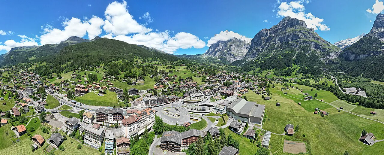
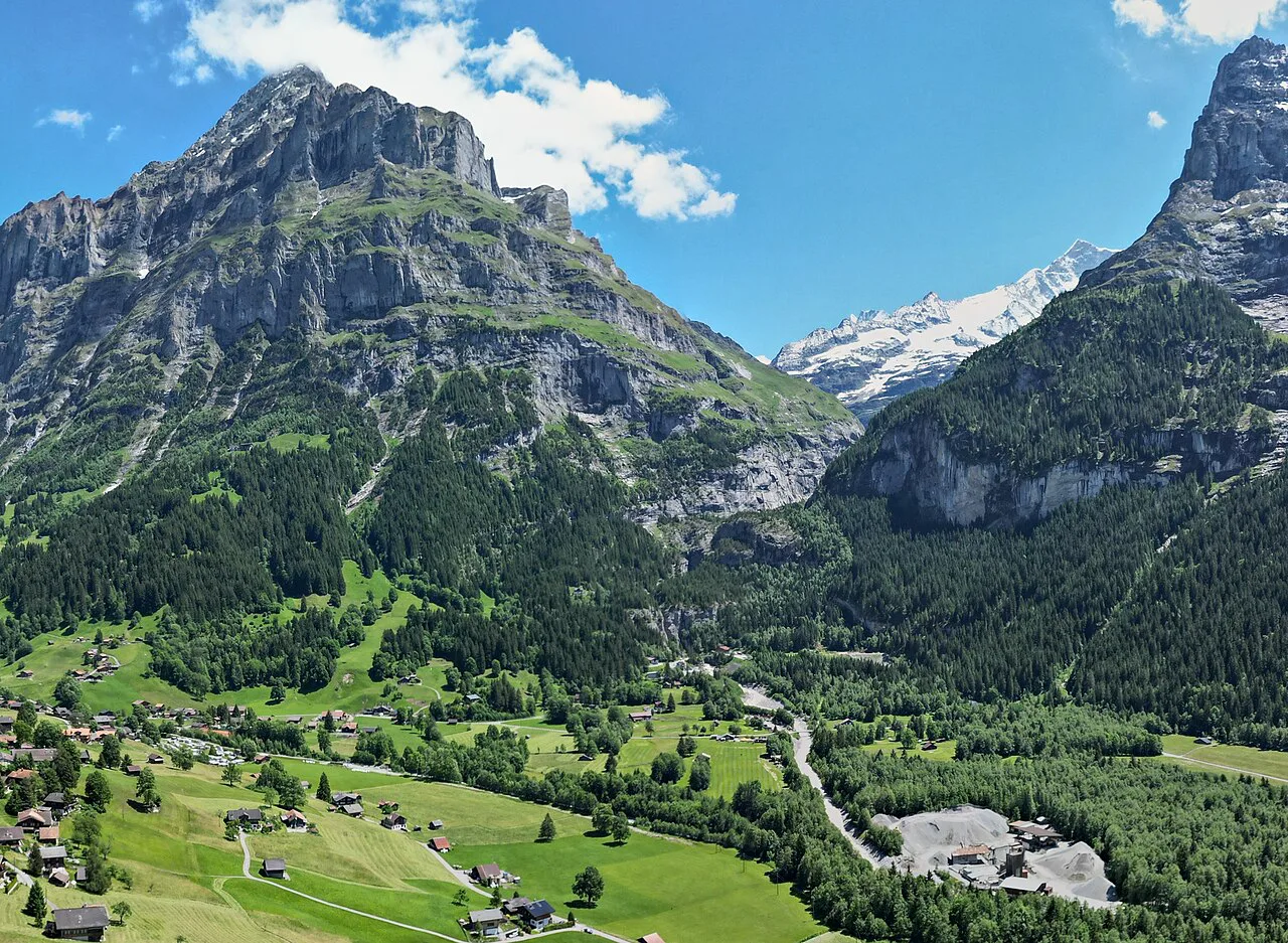
Grindelwald sits in a high basin in the Bernese Oberland with the Eiger north face on its southern skyline and a web of marked paths leaving the village in every direction. The great advantage for a visiting hiker is range: a gentle lake walk, a 6.5 km (4 mi) traverse beneath the Eiger, and a long high-level traverse can all be done from the same base.
The trails fall into three practical groups. Lift-assisted half days need little climbing, the classic traverses need a full day and a well-timed descent, and the hut and via ferrata routes ask for exposure tolerance or an overnight. Pick your group first, then choose the route.
Grindelwald hiking at a glance: valley layout and base
The village runs along a valley floor with two lift bases: the Firstbahn station in the village center and the train stations that connect toward Kleine Scheidegg and the Eiger. Most of the famous hikes start higher than the village, so your day is shaped by which lift or train you take and when the last descent leaves.
Grindelwald itself is the natural base for everything here. Staying in the village puts the Firstbahn and the railway within walking distance, which matters on days when you want an early start or a late return from a hut.
Trail status changes with snow, storms and lift maintenance, and the local tourism office publishes live hiking-trail and mountain-railway status pages that are worth a look the evening before a high route.
Easy half-day hikes: First to Bachalpsee
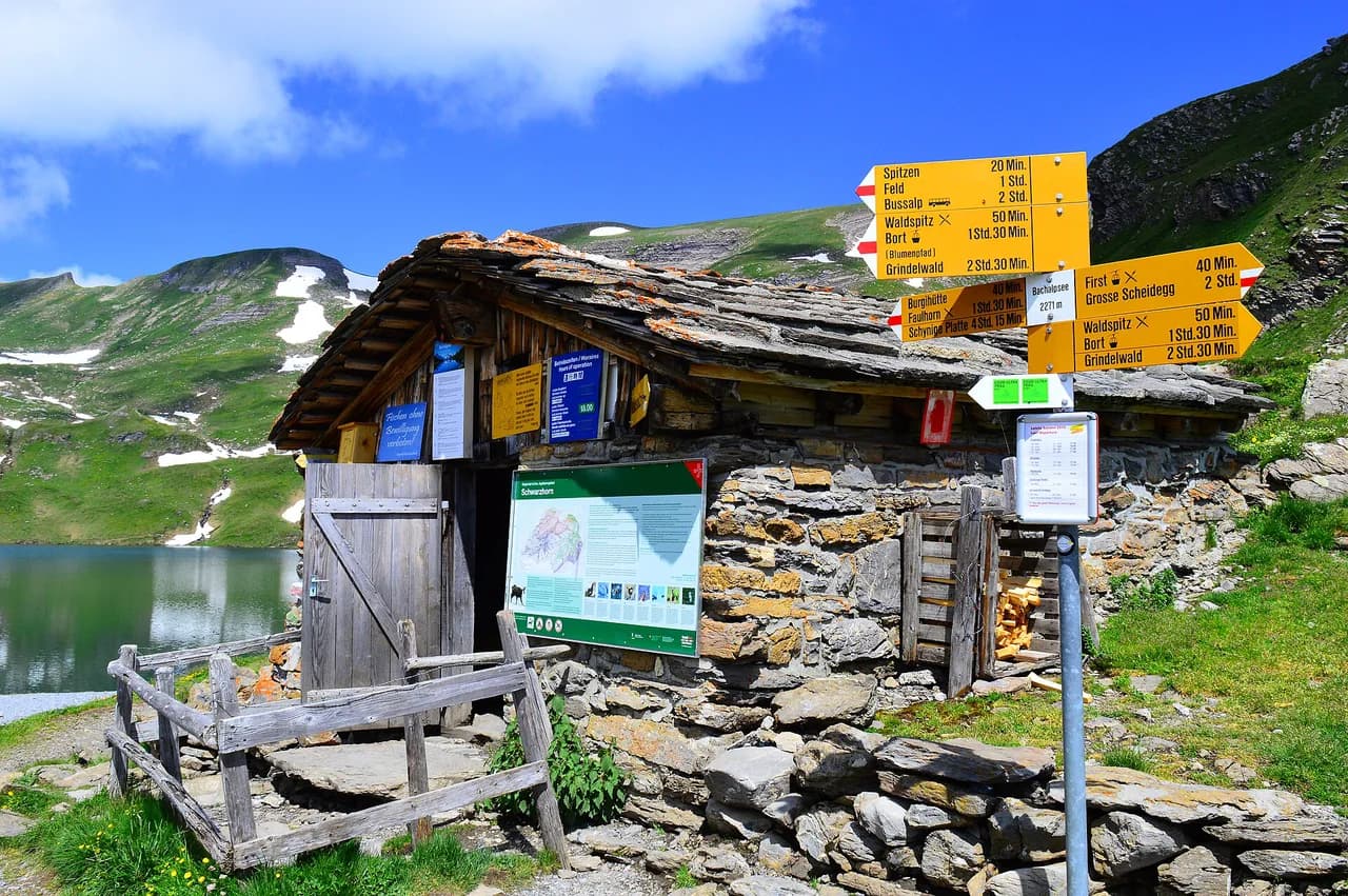
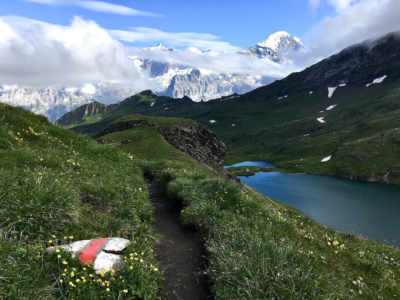
The walk from First station to Bachalpsee is the most forgiving outing in the valley and the one to choose if you have children, limited time or tired legs. From the First cable car station the path climbs gently to the lake at 2,265 m (7,431 ft), gaining about 188 m (617 ft) over 3 km (1.9 mi) one way, so 6 km (3.7 mi) and roughly two hours of walking return; with photos and a picnic, allow three.
The Firstbahn leaves from the heart of Grindelwald and climbs to the station in about 25 minutes, which turns a high alpine lake into a half-day outing. The Bachalpsee Hike from Grindelwald First page covers the same path in more detail if you want to plan the walk itself.
At the top station, the First Cliff Walk is a metal walkway bolted to the rock with views over the valley and a glass floor section. Do it on your return rather than at the start: it is quieter later in the day and you keep the best light for the lake.
Because the lake sits above 2,200 m, the path holds snow well into spring and can be snowy again by late autumn; a sunny, clear day is worth waiting for, since the reflection of the peaks in the water is the whole point.
The Eiger Trail from Eigergletscher to Alpiglen
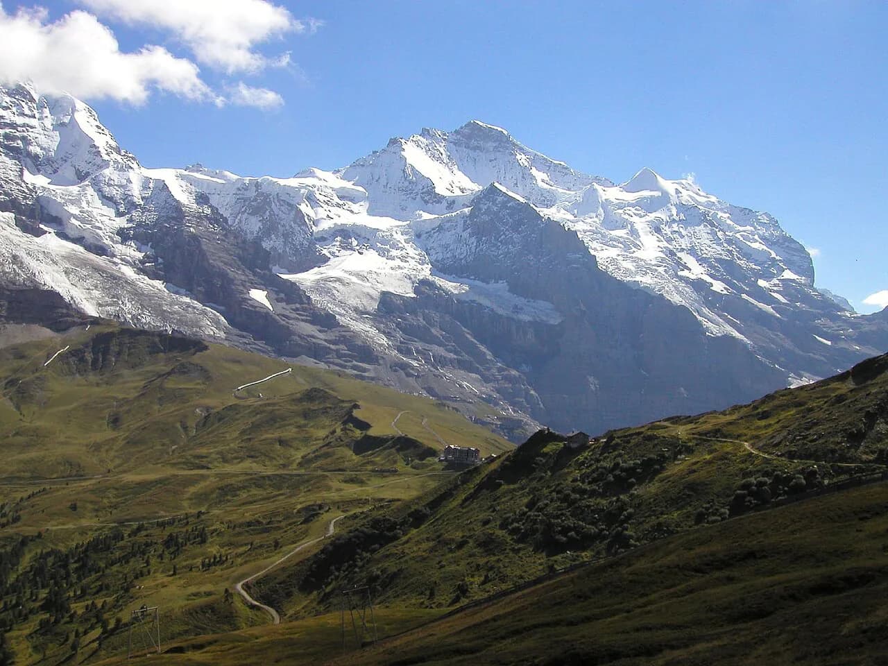
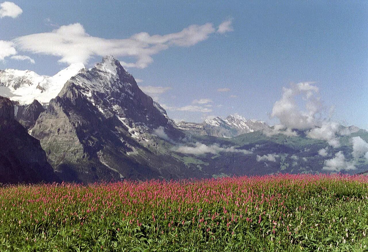
This is the hike most people mean by Grindelwald hiking: a path that runs directly beneath the Eiger north face, the wall climbers have targeted for a century. The route from Eigergletscher station down to Alpiglen is 6.5 km (4 mi) and takes about 2.5 hours at a relaxed pace, less if you move steadily.
You reach the start by train from Grindelwald up to Eigergletscher; walking up from the village instead means a long, relentless climb. The trail begins with roughly 200 m (656 ft) of ascent spread over a couple of kilometres, so the gradient is gentle even though you are gaining height.
About 2 km in you reach the Eiger viewing area, where signs identify the line climbers take up the face. From there the path traverses below the wall before dropping toward Alpiglen, where you catch the train back to Grindelwald.
The route is waymarked and non-technical, but it is high, open ground where weather arrives fast; carry a shell and start early enough that an afternoon thunderstorm finds you low rather than on the traverse.
Summit day from First: Bachalpsee to Faulhorn
From Bachalpsee the path continues upward to the Faulhorn, adding roughly 500 m (1,640 ft) of climbing and about an hour and a half of walking to the lake route. That turns an easy half day into a proper summit outing with a hotel and restaurant at the top, and the reward is one of the widest panoramas in the region.
The extension is a steady climb on open ground rather than a scramble. Treat it as a separate decision: families can turn back at the lake, while peak-baggers continue and return to First for the cable car down.
Schynige Platte to First via Faulhorn
The traverse from Schynige Platte to First is the big day in this valley: 16 km (10 mi) with nearly 1,000 m (3,280 ft) of ascent, mostly on rocky paths with a little clambering but no hands-on scrambling and almost no exposed sections. Most hikers should plan on five to seven hours including a stop at the Faulhorn.
You start by train to Schynige Platte, hike past alpine lakes and over the Faulhorn, then descend to First and take the cable car back to Grindelwald. The timing constraint is the cable car: in summer the last descent from First leaves at about 5:30 in the afternoon, so start from Schynige Platte before midday or face a two-hour walk down on tired legs.
Mornings on this ridge are usually clearer than afternoons, and the section above the lakes is where you want visibility. If cloud is building early, the sensible trade-off is to shorten the day at First rather than push over the Faulhorn.
Hut hikes: Baregg and Gleckstein
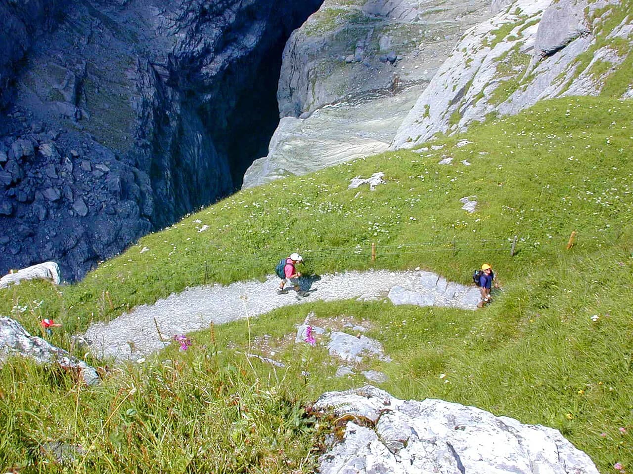
The Baregg Hut sits on the edge of a cliff above the lower glacier, about 3 km (1.9 mi) from Pfingstegg, and works both as a short overnight and as a staging point for the Schreckhorn Hut. The path follows the cliff edge alongside the ice-scoured basin of the Lower Grindelwald Glacier, making the retreat of the ice visible in the terrain itself.
The Gleckstein Hut is the harder of the two, gained by about 1,100 m (3,609 ft) of ascent on a red-and-white marked path with a few exposed passages where cables protect the step. Signposted time is about three hours and fifty minutes, and slower hikers should bank on that rather than on a fast pace.
A few hundred metres above the hut, the Chrinnerhorn is a walkable summit with no mountaineering moves and views back over the hut and down the valley. Stay the night and you get sunrise and sunset from the terrace instead of a rushed descent.
The Rotstock via ferrata beside the Eiger north face
The Rotstock route climbs about 400 m (1,312 ft) alongside the Eiger wall on ladders, steps and metal staples to a 360-degree summit viewpoint. Total distance from the start of the Eiger Trail, up to the top and back down to Eigergletscher, is roughly 5 km (3.1 mi).
You clip into a fixed cable at the start and stay attached throughout, which means a harness, via ferrata set and helmet are not optional. If you have not used the kit before, go with a guide or a course rather than teaching yourself on the route.
Lifts and trailheads: how to reach each start
Three access points decide most days. The Firstbahn leaves from the village center for the First area, the mountain railway runs from Grindelwald up toward Eigergletscher, and a separate train reaches Schynige Platte on the far side of the valley.
Cable car and train schedules are seasonal, and the last descent sets your turnaround time on any traverse. The tourism office publishes operating status for the lifts, which is the quickest way to know whether your planned route is running.
For a lower-level day with no lift, the walk through the Glacier Canyon below the village makes a short outing that pairs well with a village afternoon and the Crystal Museum.
Huts and overnight logistics
Staying at a hut changes the shape of a Grindelwald trip more than any single trail choice. A night at Baregg or Gleckstein lets you split climbs, catch first light and avoid the afternoon cable-car deadline, but it means carrying a sleeping liner and a little more clothing.
Hut places are limited and busy in high summer, so book through the hut or its operating organisation before you build an itinerary around it, and check whether the hut is staffed in the shoulder months.
Many multi-day options exist beyond the valley, including routes that continue across the Jungfrau region; the tourism office lists long-distance itineraries if you want to connect stages.
When to go
Summer, June to August, brings warm days, long daylight and access to the highest paths, but it is also peak season, so the Eiger Trail and Bachalpsee are busy and accommodation fills. September and October give clearer air and quieter trails, with the trade-off of earlier snow on high ground and shorter days.
High trails above 2,000 m can hold snow into late spring, so a June date does not guarantee a dry path to the Faulhorn. If your trip is fixed early or late in the season, keep a lower valley walk as your backup.
Where to stay in Grindelwald for hiking
The village center is the best base for lift-assisted days, since the Firstbahn and the railway are within walking distance and you can be at First or Eigergletscher early. For hut trips, a hotel that stores luggage while you are on the mountain makes a night at Baregg or Gleckstein much simpler.
If you want to combine Grindelwald with the valleys to the west, Kleine Scheidegg and the Wengernalp railway connect onward, and the Männlichen to Kleine Scheidegg ridge walk makes a fine second day. The same lift-and-traverse logic applies if you base yourself further west, so it is worth reading a hiking in Interlaken guide before committing to a base. The neighbouring valley to the south rewards the same approach, so compare these routes with the Lauterbrunnen hikes before you settle on a base.
Mountain hazards on Grindelwald trails
Exposure is the real risk on the Gleckstein path, where cables protect the steepest passages, and on the Hardergrat-style ridges that fall away sharply on both sides. Wet rock on these sections is where accidents happen, so save them for a dry day.
Afternoon storms build quickly above the valley in summer, and the open traverses to the Faulhorn and along the Eiger wall offer little shelter. An early start, a shell and a decision to turn back when cloud thickens will keep a good day from turning serious.
Plan Your Grindelwald Hiking Day
Choose by climbing and timing first: Bachalpsee for an easy half day, the Eiger Trail for a classic traverse, Schynige Platte to First for a full ridge day, and a hut night if you want the valley at dawn.
Then check the state of the lifts and trails with Grindelwald Tourismus, and build your day around the last descent rather than the first.
Explore more Grindelwald hiking guides
Frequently Asked Questions
What is the best hike in Grindelwald for a first visit?
The Eiger Trail from Eigergletscher to Alpiglen gives the most dramatic scenery for moderate effort: 6.5 km under the north face, about 2.5 hours, reached by train. If you want something easier, the walk from First to Bachalpsee is a gentle 6 km return with around 188 m of ascent.
How long does the hike from First to Bachalpsee take?
Allow about two hours of walking for the 6 km return from First station to the lake, or around three hours with breaks and photos. The path gains roughly 188 m and is suitable for families.
Can you hike the Eiger Trail without a guide?
Yes. The Eiger Trail is a waymarked, non-technical path from Eigergletscher down to Alpiglen, and most hikers do it independently. Carry weather layers, since the route is exposed to changing mountain conditions.
Do you need a cable car to hike in Grindelwald?
No, but lifts and trains save hours. The Firstbahn, the railway to Eigergletscher and the Schynige Platte train all put you at high trailheads quickly. Walking up from the village is possible but adds substantial climbing.
When is the Grindelwald hiking season?
Summer from June to August gives the best access to high trails, while September and October bring clearer air but earlier snow. Trails above 2,000 m can hold snow outside the main season.
Sources
Trail notes for your next trip
Optional updates when we add or revise hiking guides.
You might also like
Continue reading
More guides you'll find useful