Hiking in Interlaken: Best Day Hikes, Lifts and Trailheads
Plan hiking in Interlaken with the best day hikes below the Eiger, Mönch and Jungfrau, plus how lifts and mountain trains reach each trailhead.
On this page
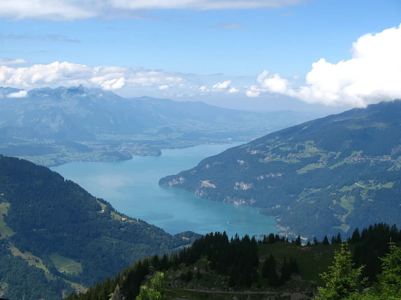
Hiking in Interlaken puts you between two turquoise lakes and directly beneath the glaciated wall of the Eiger, Mönch and Jungfrau. Within a single day you can walk a two-hour panorama loop above a mountain railway, coast along Lake Brienz beneath waterfalls, or grind up a thousand metres to a ridge above the clouds. The trade-off is always the same: the higher and more famous the route, the more you rely on a lift or mountain train to start, and the more time you spend above treeline.
How the Interlaken-Oberhasli area is laid out
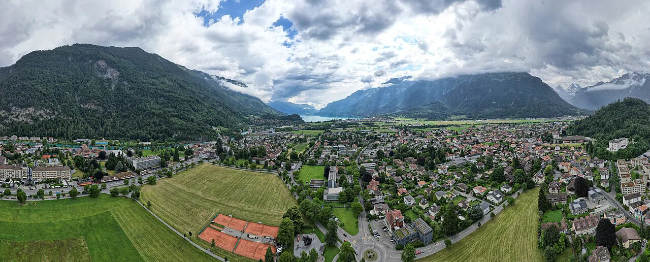
The region fans out from Interlaken in three directions. Southwest lies Lake Thun and the Harder ridge above town, southeast lies Lake Brienz with Iseltwald and Giessbach on its shore, and south climbs the Grindelwald valley toward the First, Bachalpsee and the Jungfrau massif. Farther east, the Hasliberg and Grimsel valleys lead toward Innertkirchen and the ice of the Unteraar Glacier.
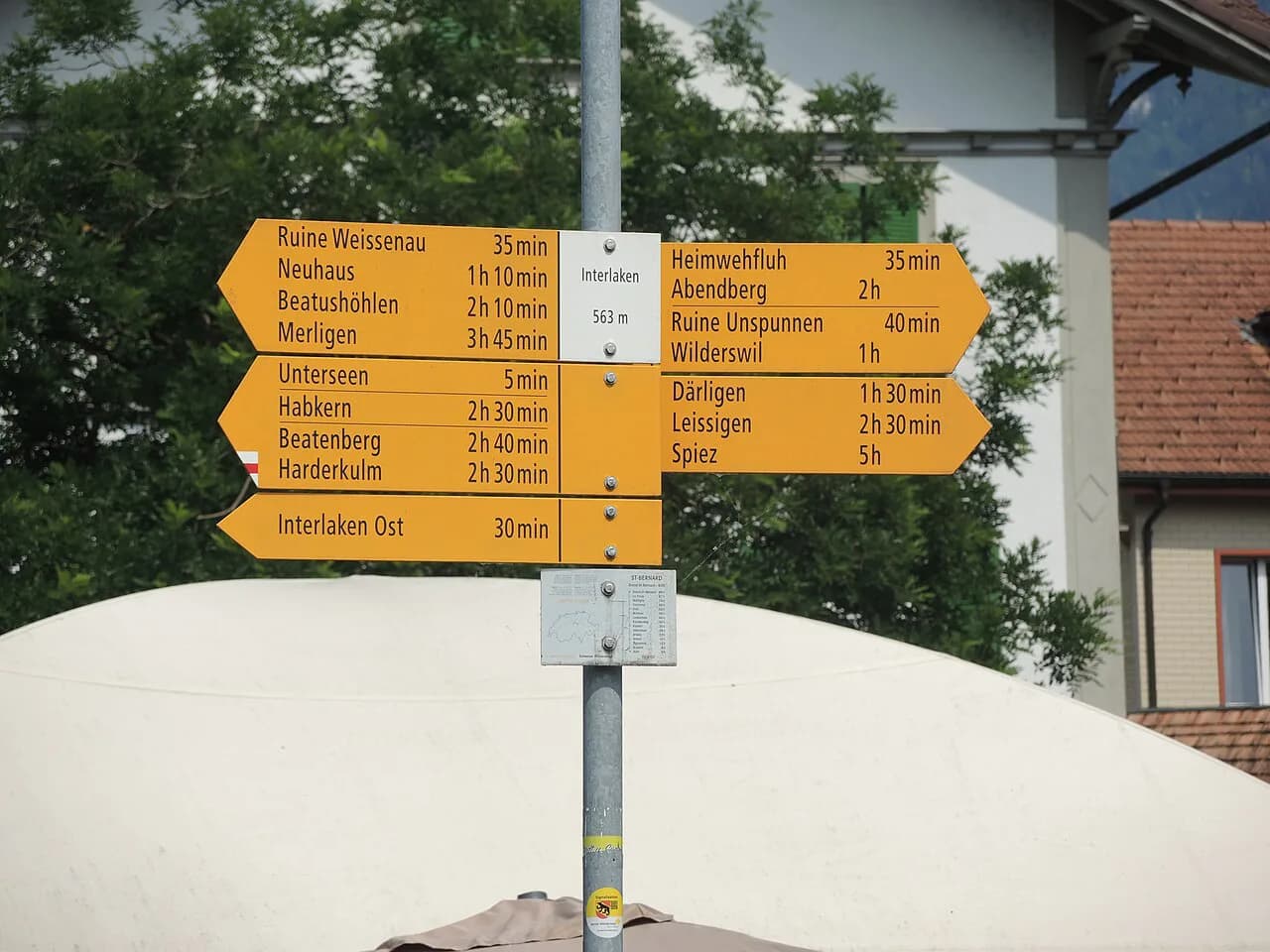
Base yourself by hike rather than by habit. Interlaken works as a hub for Harder Kulm and Hinterburgseeli and gives quick train access to both lakes; Grindelwald is the sensible base for the First and Bachalpsee, saving an hour of commuting; Wilderswil and the Schynige Platte railway serve the panorama ridge; and Mürren, reached by cable car from Lauterbrunnen, starts you high on the Eiger, Mönch and Jungfrau trail. If you want a single base for a short trip, stay in Interlaken and accept the extra morning transfer on the two or three days you head into the valleys.
Routes here come in two distinct families. Lift- and train-assisted high routes get you to 1,500–2,300 m (4,900–7,500 ft) fast and deliver big views, but the walking time is only part of your day because you must match your finish to the last descent. Valley and lakeside routes need no ticket at all and are the right choice in shoulder season, on a cloudy morning, or when you simply want distance without exposure.
Easy half-day hikes
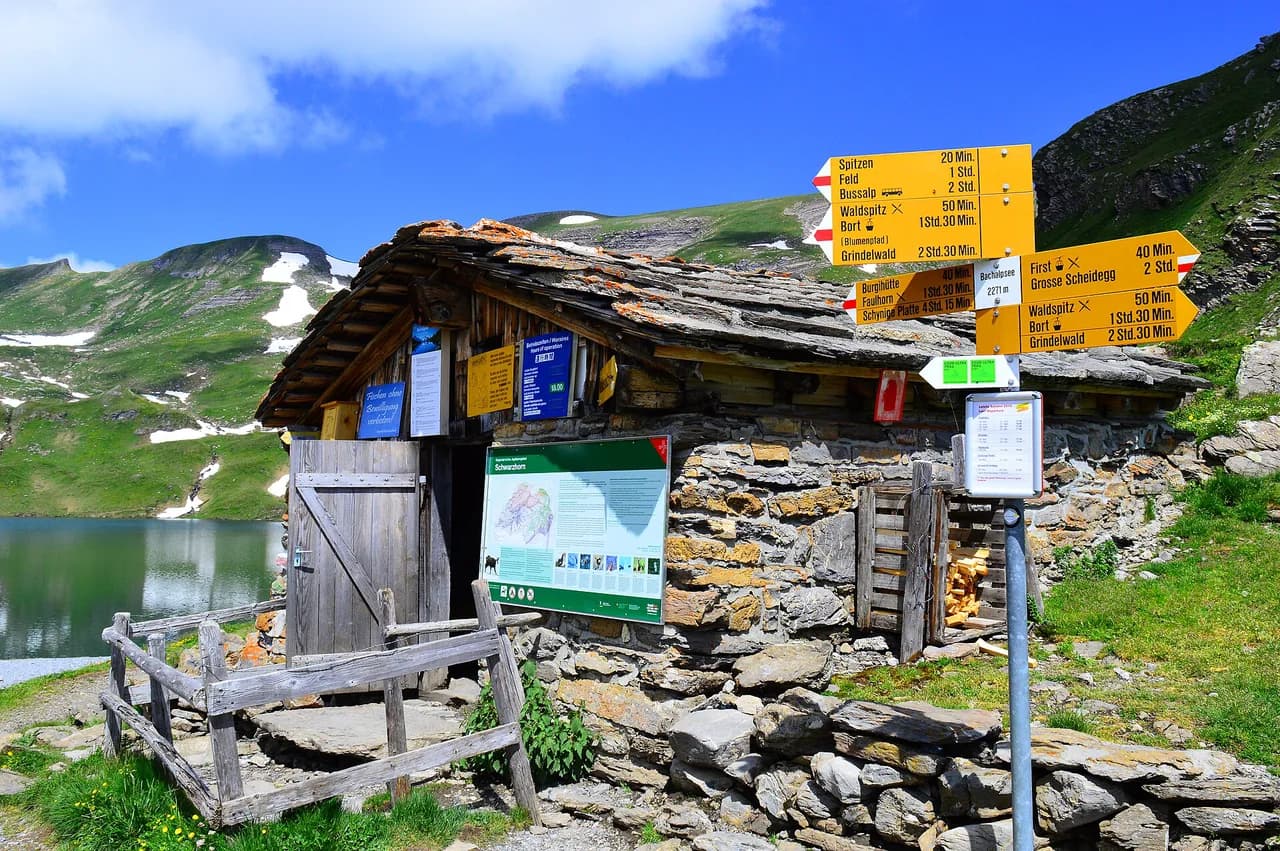
From the First to Bachalpsee is the region's classic short walk and the best introduction to high alpine scenery for anyone with limited time. The route covers roughly 5.98 km (3.7 miles) with about 190 m (620 ft) of ascent and descent, and walking time is estimated at just under two hours, so most hikers fit it comfortably into a morning or afternoon. The path is mostly accessible but calls for sure-footedness; the lake mirrors the surrounding peaks when the wind is down.
The Schynige Platte Panorama Trail is a short loop of 5.63 km (3.5 miles) with around 150 m (490 ft) of up and down, estimated at two hours, on mostly accessible paths that still require sure-footedness. The appeal is the position: you ride a vintage mountain train up to the plateau and then walk a ridge with the Eiger, Mönch and Jungfrau laid out in front of you. The schynige platte hike is worth a full day if you add the descent on foot rather than riding back down.
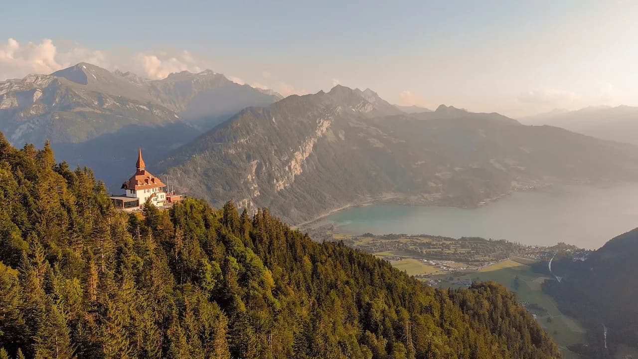
The Harder Kulm Circular Trail above Interlaken is the shortest outing in this group: 2.75 km (1.7 miles), about 120 m (390 ft) of ascent and descent, roughly an hour of walking. It suits anyone who wants the lake-and-peak view over Interlaken with minimal effort, and families with children who are steady on their feet. The harder kulm hike up from town is the alternative if you prefer to earn the viewpoint on foot; either way the exposed rim above the valley is no place to wander off the path.
Intermediate day hikes
The Iseltwald to Giessbach lakeside trail is the best low-level day on Lake Brienz. It measures 8.79 km (5.5 miles) with only about 130 m (430 ft) of climbing but 560 m (1,840 ft) of descent, estimated at nearly three hours, because the path rolls along the shore rather than following a flat promenade. You finish at Giessbach Falls, where the water drops in tiers below the hotel terrace. Boats on Lake Brienz connect the two ends, so you can walk one way and return by water; the BLS Schifffahrt timetable sets your finish time, and it is the one detail worth fixing before you set out.
To Hinterburgseeli above Interlaken is a moderate half-day of 10.9 km (6.8 miles) with roughly 520 m (1,700 ft) of ascent and descent, estimated at about four hours. The small lake sits in a hollow below the Harder ridge and makes a quiet lunch stop away from the crowds at the viewpoint. With steady gradients and no scrambling it is a good choice for hikers building fitness, and an unusually peaceful option so close to town.
Emme River Path Stage 1 is a point-to-point walk of 6.83 km (4.2 miles) that gains almost nothing — around 20 m (65 ft) — but loses about 1,030 m (3,380 ft) over an estimated two and a half hours. It is a committed descent, easy on the lungs and hard on the knees, so poles help and so does a relaxed start. Arrange your pickup or your train at the bottom before you begin, because the route does not loop back.
Hard high-level routes
To the ibexes on the Augstmatthorn is the region's signature hard day: 16.1 km (10 miles) with about 1,050 m (3,440 ft) of ascent and the same descent, estimated at six and a half hours. It requires very good fitness, sure-footedness, sturdy shoes and alpine experience, and the ridge itself is exposed — go in dry, settled weather and turn back if cloud builds or the rock is wet, since afternoon storms arrive fast here. Herds of ibex work the slopes below the crest, which is why the route is so popular with wildlife watchers.
The Höji Sulegg–Lobhörner circuit is a hard 12.7 km (7.9 miles) loop with around 1,000 m (3,280 ft) of climbing and descent, estimated at six hours. The Lobhörner are a striking fin of rock that draws climbers, while the northernmost summit can be reached on foot; the walking is mostly on paths but demands sure-footedness and very good fitness. It is the better choice than Augstmatthorn if you want a loop rather than a ridge traverse, and a quieter one if you start early.
The Eiger, Mönch and Jungfrau Panorama Trail from Mürren is 11.5 km (7.1 miles) with roughly 970 m (3,180 ft) of ascent and 960 m (3,150 ft) of descent, estimated at five hours. Because Mürren sits high on the terrace above Lauterbrunnen, you spend the day facing the big three peaks rather than climbing toward them. The grading is hard for fitness and terrain rather than technical difficulty, but the trail is exposed in places and early-season snow lingers on the higher sections.
Grimsel Pass to the Unteraar Glacier is a 17.2 km (10.7 miles) out-and-back with about 440 m (1,440 ft) of up and down, estimated at five hours, and it feels more remote than anything else on this list. You walk from road level toward the ice and moraine of a shrinking glacier, which is the point of the route. The grading is hard because of distance and the exposed alpine setting, not steep ground, so treat weather and visibility as the deciding factors.
Where each hike starts: lifts, mountain trains and buses
The First–Bachalpsee walk starts at the top of the First gondola above Grindelwald, which turns a 190 m climb into a gentle high-level stroll; ride up, walk to the lake, and either return to the gondola or continue on marked paths. The Harder Kulm funicular lifts you from Interlaken to the viewpoint in minutes, which is why the circular trail is so short — you can also walk up from town if you want the ascent.
Schynige Platte is reached by a historic mountain railway from Wilderswil, and the panorama trail begins at the top station, so the train is part of the day rather than mere transport. Mürren is car-free and served by cable car from Lauterbrunnen followed by the mountain railway along the terrace, so plan your walking time around the descent rather than counting on staying late. None of these lift companies publish fixed seasons that hold every year, so confirm the last descent for your date before you commit to a long route.
The lakeside and valley hikes need no lift at all. Iseltwald and Giessbach are linked by boat and by road, Hinterburgseeli is walkable from Interlaken, and Emme River Path Stage 1 ends where a train or a pre-arranged pickup can collect you. For anyone wondering whether hiking here is possible without paying for a gondola, the answer is yes: the valley floor and the lake shores give you full days of walking with no ticket.
Ridge and summit options
Two ridge lines dominate the skyline above Interlaken. The Schynige Platte ridge gives you a high, train-supported start and a day of walking with the peaks in front of you the whole way; the Hardergrat follows the crest above Lake Brienz and is a serious, sustained undertaking for experienced hikers only. Both are long days with real exposure, and neither should be attempted in poor visibility or on a day when storms are forecast for the afternoon.
Walking from the valley without a lift
You can build a satisfying day entirely from the valley floor. The walk from Lauterbrunnen toward Stechelberg follows the valley beneath the waterfalls and finishes where a bus returns you to the village, so no cable car is needed. On the Grindelwald side, the path toward Alpiglen gives you close views of the Eiger north face with the option of continuing to the small station at Alpiglen and riding back down. If you want more days like this one, hiking in Lauterbrunnen covers the valley and terrace routes that start from the same village.
These lower routes are also your fallback when cloud sits on the high trails. They stay open earlier and later in the year than the lift-served routes and need nothing more than boots and a timetable. Check the last bus or train before you start, since valley transport thins out in the evening.
Hiking with dogs, livestock and family-friendly trails
Many trails in the region are open to dogs, but livestock grazes the high meadows in summer, so keep your dog on a lead around cattle and close to wildlife. The Hinterburgseeli route is a reasonable moderate option with a dog; the exposed ridge routes are not, because of scrambling and the narrow crest. Families are better served by the themed trails around Interlaken and by the short First–Bachalpsee and Harder Kulm circuits, which keep children interested without long climbs.
If you want vertical adventure with protection rather than a rope-free ridge, a via ferrata interlaken operators run from the valley walls near town, and a guided half-day is the sensible way to try one first. It is a different day out from the hikes above and best kept for a separate slot in your itinerary.
When to go
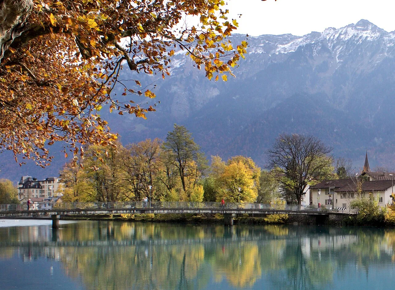
The reliable hiking window runs from late spring into early autumn, with high routes such as Augstmatthorn, the Lobhörner circuit and the Mürren panorama trail best from mid-summer onward once snow has left the upper ground. Snow lingers on passes and north-facing slopes into June and returns in October, so early and late trips should stay on the lakeside and valley paths. Afternoon thunderstorms are the other fixed feature of summer: start early, plan to be off ridges and summits by early afternoon, and treat a build-up of cloud as your signal to descend. If your dates fall outside this window, hiking in Lucerne offers lower lake trails that hold up in the shoulder months.
Practical footnotes: tickets, timetables and gear
Lift, train and boat fares and operating dates change by season, and the operators publish them directly, so price your days from the company websites rather than from older trip reports. The one number that matters most is the last descent from wherever you finish; write it down before you start walking. For exposed ridges and summits, carry a shell, water and a map or offline route, and add poles for the long descents like Emme River Path Stage 1.
Plan Your Visit
Match the hike to the day you actually have. A short trip based in Interlaken fits Harder Kulm and Hinterburgseeli with one Grindelwald day for the First and Bachalpsee; a week lets you add Schynige Platte, the Lake Brienz shore walk and one hard route such as Augstmatthorn or the Lobhörner circuit. If the ridge routes above treeline are what you came for, our Appenzell hiking guide shows how a similar day of lift-supported ridge walking works in eastern Switzerland. Book accommodation in Grindelwald or Mürren if the high trails are your priority, and keep a valley day in reserve for the morning the cloud refuses to lift.
Whichever routes you choose, start early, respect the last lift or boat, and turn around when the weather turns. The geography here rewards planning more than gear: the difference between a great day and a long one is usually a timetable you checked the night before.
Explore more Interlaken hiking guides
Frequently Asked Questions
What is the best hike in Interlaken for a first visit?
The First to Bachalpsee walk gives the biggest scenery for the least effort: about 5.98 km with roughly 190 m of ascent and descent and under two hours of walking, reached by gondola from Grindelwald. If you would rather stay near town, the Harder Kulm Circular Trail is about an hour of easy walking with a full view over Interlaken and both lakes.
How long does the Harder Kulm hike take?
The circular trail at the top is about 2.75 km with roughly 120 m of ascent and descent, estimated at around an hour. Walking up from Interlaken instead adds a substantial climb; either way, allow time at the viewpoint and check the funicular's last descent before you start.
Is the Schynige Platte ridge trail difficult?
The panorama trail on the plateau is a moderate loop of about 5.63 km with around 150 m of up and down, estimated at two hours, on mostly accessible paths that still require sure-footedness. Longer ridge variants above the plateau are more demanding and exposed, so choose according to your fitness and the weather.
Can you hike around Interlaken without taking a cable car or mountain train?
Yes. Lakeside and valley routes need no ticket: the Lauterbrunnen valley walk toward Stechelberg, the Grindelwald path toward Alpiglen, and the Hinterburgseeli route can all be started from the valley floor. You will trade big summit views for gentler gradients and easier logistics.
How many days should you plan for hiking in Interlaken?
Three or four days covers the easy high routes and one lakeside day; a week lets you add a hard ridge day and a reserve day for poor weather. Base yourself in Interlaken for flexibility, or in Grindelwald or Mürren to cut morning transfers.
When is the best time to hike in Interlaken?
Late spring through early autumn is the main window, with high routes such as Augstmatthorn and the Mürren panorama trail best from mid-summer once snow has cleared. In June and October, keep to valley and lakeside paths, and start early in summer to be off exposed ground before afternoon storms.
Sources
Trail notes for your next trip
Optional updates when we add or revise hiking guides.
You might also like
Continue reading
More guides you'll find useful