Niederhorn Hike: Interlaken Ridge Route and Cable Car Guide
Plan the Niederhorn hike above Lake Thun: ride the Beatenberg cable car up, walk the ridge to Burgfeldstand, then descend to Beatenberg station on marked trails.
On this page
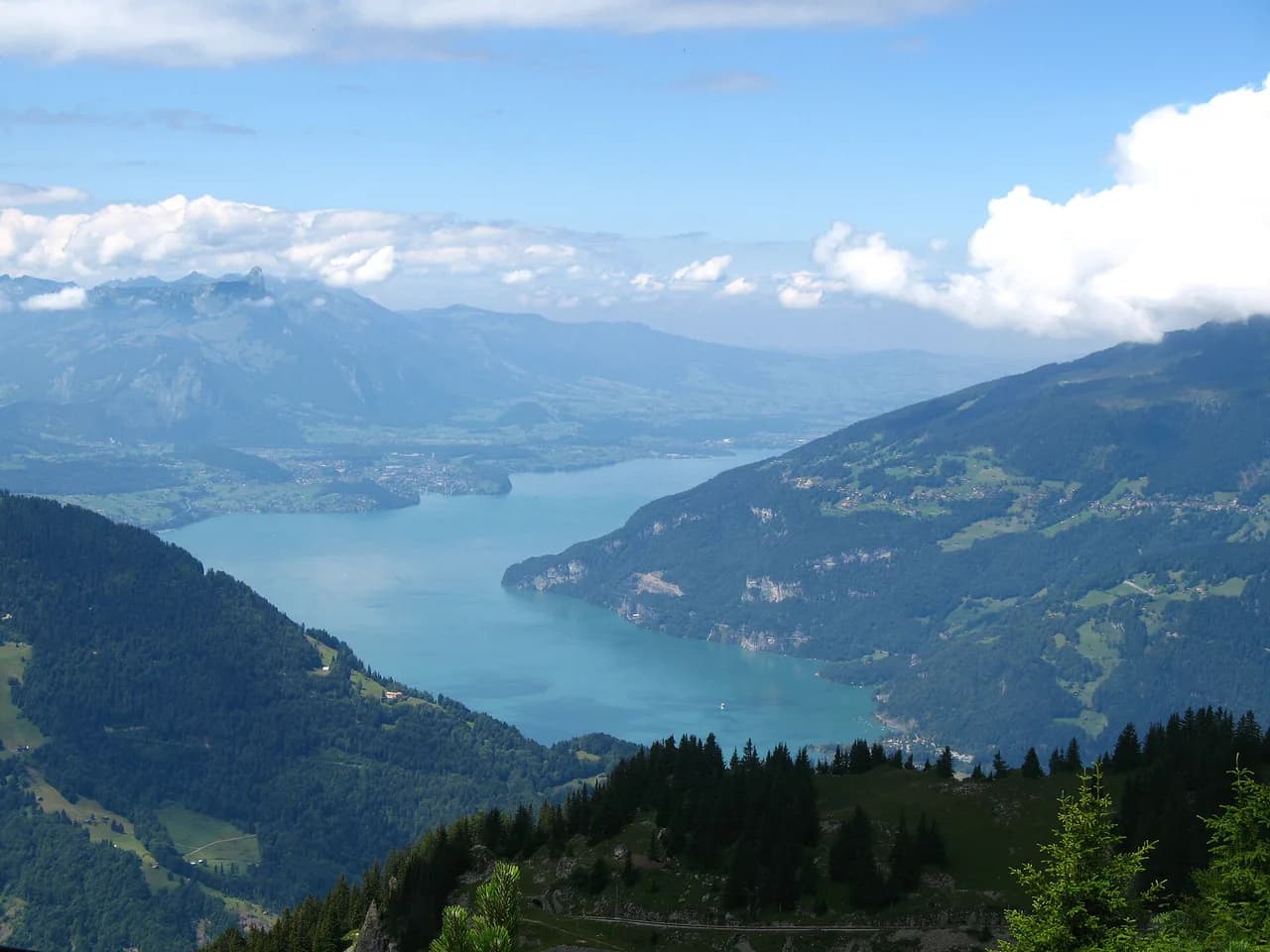
The Niederhorn hike gives you a high, open ridge above Lake Thun with the Eiger, Mönch and Jungfrau lined up across the skyline, and a path wide and clear enough for families and slower days. The cable car does most of the climbing, so the walking is about views and distance rather than scrambling. You can ride up and back down, walk the ridge one way, or take on the full climb and descent.
The summit sits at 1,950 m (6,398 ft) above Beatenberg, the village that spreads along the slope at the eastern end of the lake, roughly half an hour from Interlaken. That position makes it one of the simplest big-view days in the Bernese Oberland, and easy to slot into a wider week of hiking in Interlaken.
Where the Niederhorn sits
The Niederhorn is the grassy, rounded summit on the ridge that rises directly behind Beatenberg, on the sunny side of Lake Thun. Below the ridge the ground falls away toward the lake in woods and cliffs, while the far side opens onto the farmed alp of Vorsass and the higher limestone of the Justistal.
From the top, the view runs the length of the lake toward Thun on one side and into the Jungfrau peaks on the other, with the pyramid of the Niesen and the Stockhorn chain filling the western horizon. This is why the ridge is often called a panorama walk rather than a summit objective: the walking is horizontal for long stretches, and the reward is the view rather than a hard climb.
Trailhead and parking at Beatenberg station
The Beatenbergbahn leaves from Beatenberg station at 1,126 m (3,694 ft) and climbs to the Niederhorn summit at 1,950 m (6,398 ft). The station has parking, so drivers can leave the car at the bottom and ride up, then finish the day on foot back at the car park.
For hikers on public transport, the same station is the interchange: bus from Interlaken to Beatenberg, then the cable car. Note that Beatenberg station sits well below the village itself, so allow time for the connection if you are arriving by bus.
Lift timetables and the operating season are set by the lift operator and vary through the year; the Niederhornbahn publishes current running times and any maintenance windows, and those are the details to plan around before you commit to a late-afternoon descent.
Distance, ascent and time
The most popular format is to ride the cable car to the summit, walk the ridge and then descend to Beatenberg station, which comes to about 7 km (4.3 mi). Walked in reverse, or as a full loop from the station and back, the day runs to roughly 14 km (8.7 mi). Those figures are typical walking estimates rather than an official trail survey.
The climb from the station to the summit takes most hikers two to three hours on foot, while the descent through the forest takes under two. That asymmetry is worth planning around: if you walk up, start early enough that the descent is not rushed, and if you ride up, you can comfortably walk down in an afternoon.
There is no technical difficulty on the marked route. The path is clear and signposted, and the ridge section has no drop-offs on the walking line, which is what makes it suitable for children and for hikers who want distance without exposure.
Route description: summit to Burgfeldstand
From the top station you reach the summit area within a couple of minutes. There is a restaurant and a scatter of benches, and the ridge fans out in several directions; most visitors cluster at the nearest viewpoint, while the western end above the lake is usually quieter and gives the best line on the water below.
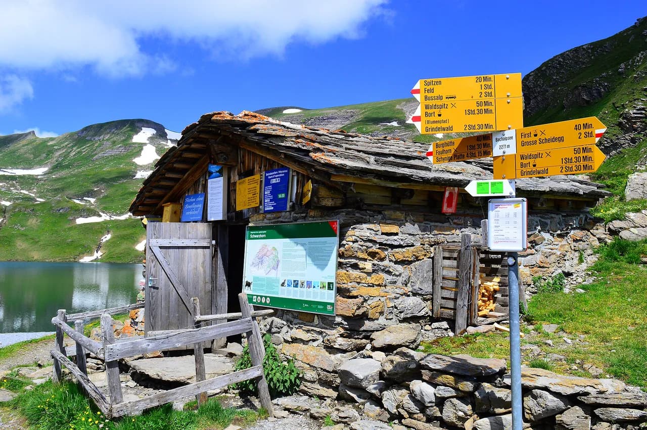
The classic ridge sequence runs from the Niederhorn to Burgfeldstand, then Alp Oberburgfeld and Vorsass, following the yellow waymarks. Burgfeldstand is the high point of the ridge walk proper, and the intervening path rolls gently across open grass with the lake on one hand and the Jungfrau range on the other.
At Vorsass the standard route meets the cable car mid-station, so you can cut the day short there and ride down if legs or weather suggest it. From Vorsass the marked path continues down through forest to Beatenberg station, zigzagging at times but never steep enough to need hands.
The forest descent is where the character of the walk changes. The views close in, the trail becomes a winding woodland path, and occasional gaps in the trees give glimpses back to the Jungfrau peaks; it is a soft finish to a day that is otherwise all about open views.
Easier and harder ways to walk it
The easiest format is the cable car in both directions with a short stroll along the summit ridge. It suits families, hikers with limited time, and anyone who wants the panorama without committing to a descent, and it keeps the day to a couple of hours at the top.
The middle option is the one-way descent: ride up, walk the ridge to Vorsass and continue to Beatenberg station, roughly 7 km (4.3 mi) with almost all of the height lost rather than gained. This is the format most hikers should choose, because it delivers the ridge and the forest without the slog up.
The full version climbs from the station to the summit and returns, about 14 km (8.7 mi) with the full 824 m (2,704 ft) of ascent on foot. Choose it if you want a genuine training day or you are hiking without a lift ticket, and remember that the climb is where the time goes.
The ridge and its exposure
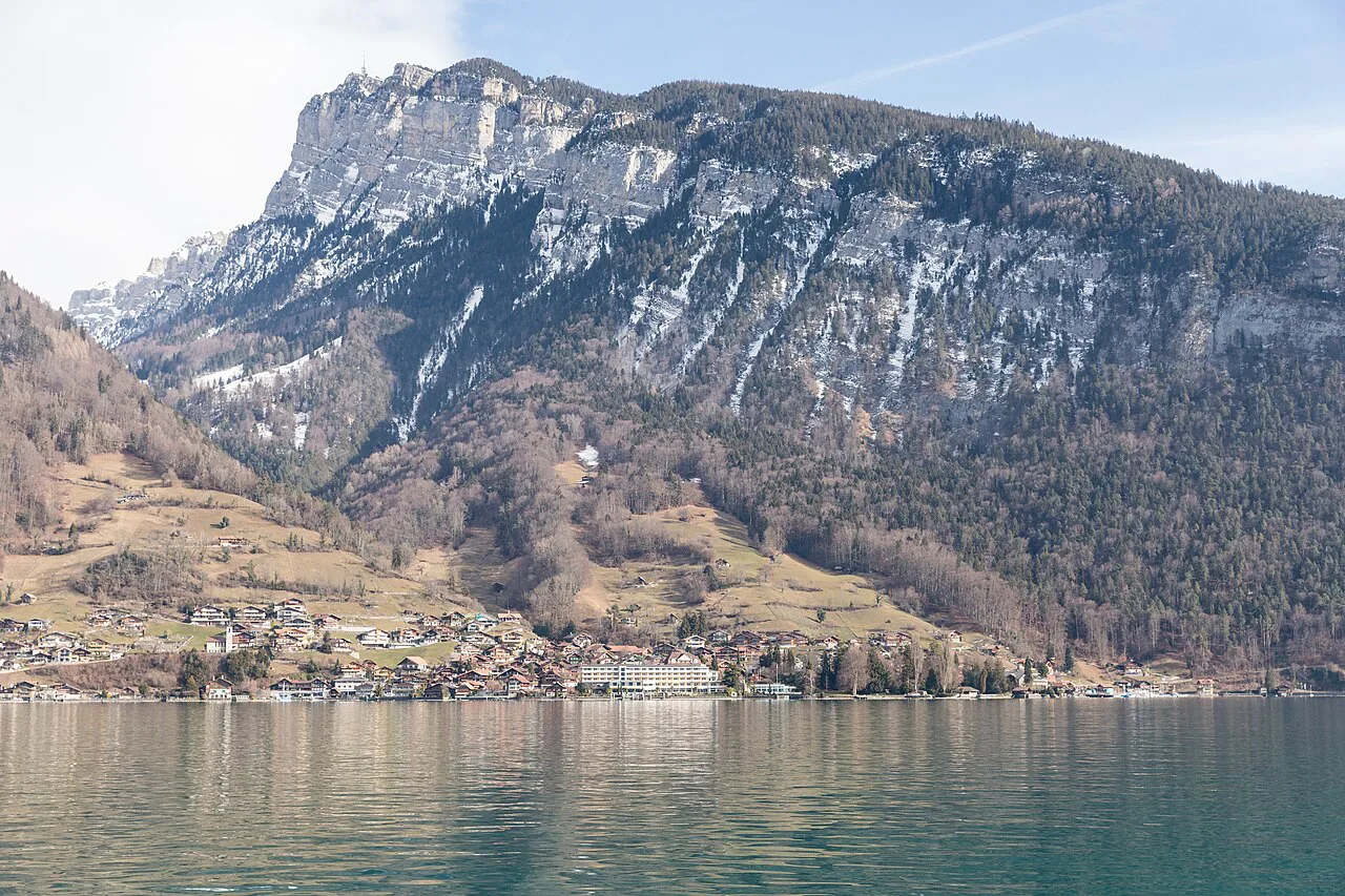
The ridge above Lake Thun drops away in cliffs on the lake side, which is where the exposure on this route actually sits. The marked path keeps back from the edge and has no drop-offs along its line, so the sense of height comes from the view rather than from the ground underfoot; keep children and dogs on the trail side of the benches.
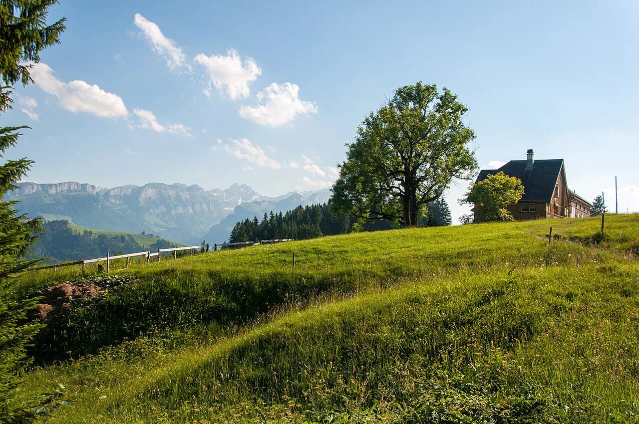
The opposite side of the ridge is the gentler one, falling away to alp meadows and the Vorsass basin. This asymmetry is useful in poor visibility: if cloud closes in, following the waymarks toward Vorsass and the mid-station keeps you on the safer side of the ridge and gives you a lift option.
When to go
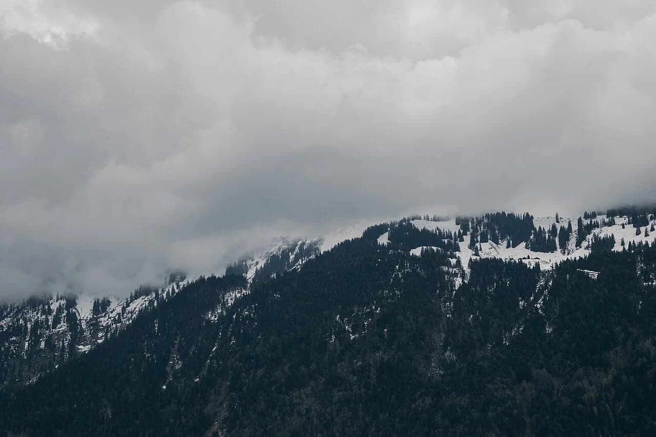
The ridge is walked in every season. Spring brings wildflowers to the alp meadows, summer gives the greenest trails and the longest days, autumn colors the slopes above the lake, and winter turns the summit into snow-covered ground shared with skiers and snowshoers.
The shoulder months are the ones to think about. Snow can linger on the upper ridge into late spring and return early in autumn, so a warm valley forecast in Interlaken does not guarantee a dry path at 1,950 m (6,398 ft); ask at the lift station what the ground is like before buying a ticket.
Afternoon thunderstorms build quickly over the Bernese Oberland in summer. On an exposed ridge, the sensible response is to be off the high ground by early afternoon and to treat the summit restaurant and the mid-station as your shelter options.
Wildlife on the Beatenberg reserve
The slopes around the Niederhorn form part of the Beatenberg–Niederhorn–Justistal area, managed as a federal hunting reserve since 1875. Ibex, marmots and the occasional chamois live here, and quiet, early walking gives you the best chance of seeing them rather than hearing them move off.
Paragliders and hang-gliders launch from the summit through the summer, so the airspace above the ridge is often busy. Keep an eye uphill when crossing launch areas near the top station, and give pilots room to run out their take-offs.
Getting there from Interlaken
Interlaken is the transport hub for the whole area. Bus services connect the town with Beatenberg, and the cable car from Beatenberg station completes the run to the summit, so the whole trip is possible without a car.
Swiss rail passes change what the lift costs you. The Swiss Half-Fare Card discounts many cable cars and trains, and the Swiss Travel Pass covers a range of transport including some lifts; both are sold for fixed periods, so the right one depends on how many travel days you have beyond this hike.
Huts, food and water on the route
Food on the route is straightforward. The summit restaurant serves meals and drinks next to the top station, and Beatenberg has shops and cafes at the start and end of the walk; between the two, the ridge and the forest descent have no other serviced stops.
That means you should carry your own water for the ridge section, particularly on hot summer afternoons when the open grass offers no shade. Refill at the summit before setting off down, and treat Vorsass as the last chance to change plans before the forest.
Practical kit and hazards
Standard hiking boots and a windproof layer cover most days here. The ridge is open and breezy even when Interlaken is still, and the forest descent can be muddy after rain, so footwear with grip matters more than anything technical.
The real hazards are weather and the cliff edge. Cloud can arrive fast and erase the panorama and the waymarks at once, and a slip near the lake-side edge would be serious; staying on the marked line and turning back at Vorsass if visibility drops handles both.
Beatenberg or Interlaken as a base
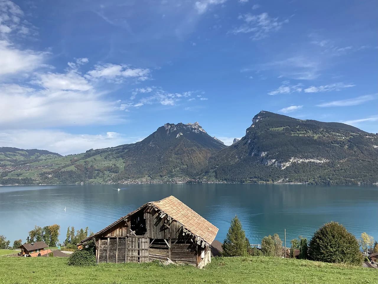
Beatenberg is the practical base for this hike: you sleep above the lake, reach the cable car station in minutes, and can be on the summit before the day trippers arrive. It is quiet in the evenings, and the village spreads along the slope, so check how far your accommodation is from the station before booking.
Interlaken gives you far more choice of accommodation, restaurants and other hikes, at the cost of a bus ride to the lift each morning. If the Niederhorn is one day of a longer trip, base in Interlaken and treat Beatenberg as an excursion; the Harder Kulm Hike from Interlaken is the obvious short counterpoint on a day when you want a view without a lift journey up the lake. If you would rather trade the lake panorama for valley floors and glacier terraces, hiking in Lauterbrunnen makes a natural second day from the same base.
Hikers who want a longer high-level day should look at the Schynige Platte hike, which starts from its own mountain railway above Wilderswil and offers a very different, wilder traverse. It is outside the Niederhorn ridge but within the same Bernese Oberland transport network.
Plan Your Niederhorn Day
Decide first how you want to use the cable car, because that choice sets the length and the effort of the day. Ride up and walk down to Beatenberg station for the classic 7 km (4.3 mi) version, ride both ways for a short summit day, or climb the whole 824 m (2,704 ft) if you want the workout.
Then pick your season and your base. Beatenberg puts you closest to the lift, Interlaken gives you more of everything else, and either way an early start leaves room for the ridge, the summit benches and an unhurried descent before the afternoon weather builds.
Frequently Asked Questions
How long is the Niederhorn hike?
The one-way version, riding the cable car to the summit and walking the ridge before descending to Beatenberg station, comes to about 7 km (4.3 mi). Walked in reverse, or as a full loop from the station and back, it runs to roughly 14 km (8.7 mi). These are typical walking figures from hikers who have done the route rather than an official trail survey, so treat them as a planning estimate.
Is the Niederhorn hike difficult?
No. The marked route is clear and signposted, and the ridge section keeps back from the cliff edge above Lake Thun with no drop-offs along the walking line. The main demands are weather and time rather than technical terrain: the ridge is open and exposed to wind and afternoon storms, and the climb from Beatenberg station to the summit takes a few hours if you walk it instead of riding the cable car. Sturdy footwear with grip is useful for the forest descent after rain.
Can you hike up to Niederhorn instead of taking the cable car?
Yes. You can start at Beatenberg station at 1,126 m (3,694 ft) and walk the marked trail to the summit at 1,950 m (6,398 ft), a climb that most hikers manage in two to three hours, then descend the same way or continue along the ridge and down through the forest. Riding up and walking down is the more popular choice because it delivers the ridge views without the climb.
Where does the Niederhorn cable car leave from?
The Beatenbergbahn starts at Beatenberg station, which sits below the village itself on the slope above Lake Thun, and climbs to the summit. Drivers can park at the station; hikers arriving by public transport take the bus from Interlaken toward Beatenberg and change to the cable car. Check the lift operator's published timetable for the day you plan to travel, since running times change through the year.
What is the Niederhorn panorama ridge hike?
It is the ridge walk from the Niederhorn summit via Burgfeldstand, Alp Oberburgfeld and Vorsass, following yellow waymarks across open grass with Lake Thun and its cliffs on one side and the Jungfrau peaks on the other. From Vorsass the standard route drops through forest to Beatenberg station, or you can ride the cable car down from the mid-station. The walking is gentle and mostly horizontal along the ridge itself.
When is the best time to hike the Niederhorn?
The ridge is walked year-round and each season has a distinct character: spring wildflowers on the alp meadows, long green summer days, autumn color above the lake, and snow-covered ground in winter. Late spring and early autumn need the most care, because snow can linger on the upper ridge or return early, and summer afternoons often bring thunderstorms. An early start keeps you off the exposed high ground before storms build.
Sources
Trail notes for your next trip
Optional updates when we add or revise hiking guides.
You might also like
Continue reading
More guides you'll find useful