Nordkette Hike Innsbruck: Trails, Lifts & Route Options
Plan a Nordkette hike above Innsbruck: which lifts reach Hungerburg, Seegrube and Hafelekar, what each trail demands, and how to pick a route for your day.
On this page
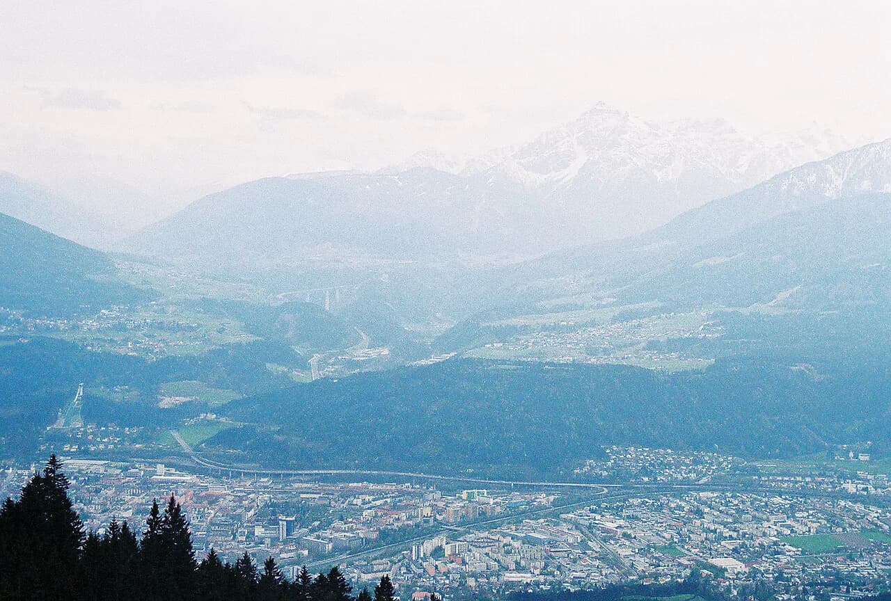
Innsbruck's Nordkette range gives you something rare in a city break: a high alpine hiking day that starts at a lift station a few minutes' walk from the Altstadt. A three-stage lift chain carries you from the valley to Hungerburg, Seegrube and Hafelekar, and from each level a different kind of walk begins. The reward is big views over the Inn valley and the Karwendel mountains, with as much or as little climbing as you want.
The main decision is whether to ride up and walk high, or climb from the valley floor under your own power. Both are satisfying, but they demand very different fitness and time. This guide sets out the access points, the named routes and the seasonal factors so you can choose the version that fits your day.
Why the Nordkette suits a city-based hiking day
Few European cities put genuine high alpine terrain this close to the hotel district. From the Innsbruck Altstadt station on Rennweg, the Hungerburgbahn starts the climb immediately, and from the top of the lift chain you are on rocky ground above the tree line. That means you can hike a serious mountain route and still be back in town for dinner.
The Nordkette is also unusually flexible. Short flat loops, half-day hut walks and steep full climbs all start from the same corridor above Innsbruck. If you are planning a wider trip, the hiking in innsbruck guide covers the other mountain areas around the city, but the Nordkette is the one you can reach on foot from the center.
How the Nordkette is laid out: Hungerburg, Seegrube, Hafelekar and the Karwendel Nature Park boundary
The Nordkette above Innsbruck climbs in three broad steps. Hungerburg, around 860 metres (2,820 feet), is the lower station and the gateway to the wooded slopes and pastures. Seegrube, roughly 1,900 metres (6,230 feet), sits at the tree line and is where the high-level walking begins. Hafelekar, at about 2,260 metres (7,410 feet), is the top station and the start of the short summit route.
The range runs east-west above the city, with the steep front face dropping directly toward Innsbruck and the gentler side falling into the Karwendel Nature Park. The Goethe Trail is the named route that crosses from the Nordkette into the Karwendel, so it marks the boundary between the city-facing trails and the wilder, quieter side of the range.
Getting to the trailhead: Hungerburgbahn, Seegrubenbahn and Hafelekarbahn
The Innsbrucker Nordkettenbahnen run the three-stage lift chain from the Altstadt station at Rennweg 3 in the city center. The Hungerburgbahn takes you to Hungerburg, the Seegrubenbahn continues to Seegrube and the Hafelekarbahn tops out at Hafelekar. Each stage can be used separately, so you can start your hike at any level rather than committing to the summit.
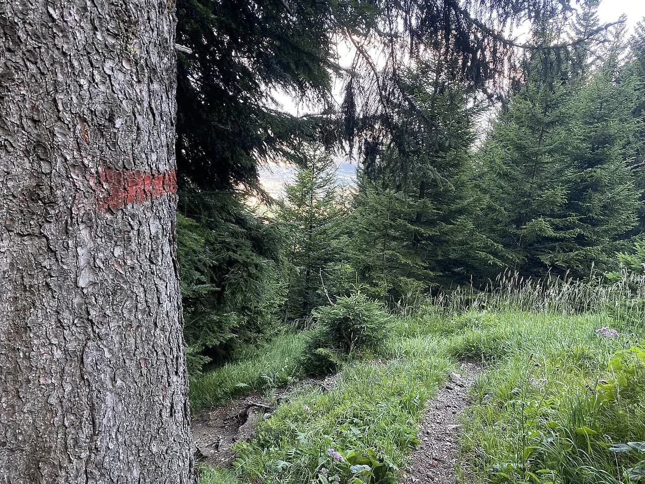
If you prefer to avoid the lift entirely, the trails up to Hungerburg start near the Alpenzoo and wind through the woods on marked paths. The climb is steady but not technical, and it adds real elevation gain to the day. If you drive, the Altstadt station has no large car park, so most hikers arrive on foot or by public transport.
Lift operating times and seasonal opening dates change through the year, and Innsbrucker Nordkettenbahnen publishes them on its website. Check the Innsbrucker Nordkettenbahnen timetable and any maintenance closures before you set out, especially in spring and late autumn when the upper stages can be affected.
Hiking from Hungerburg: hut and pasture walks of 45 minutes to 1.5 hours below the tree line
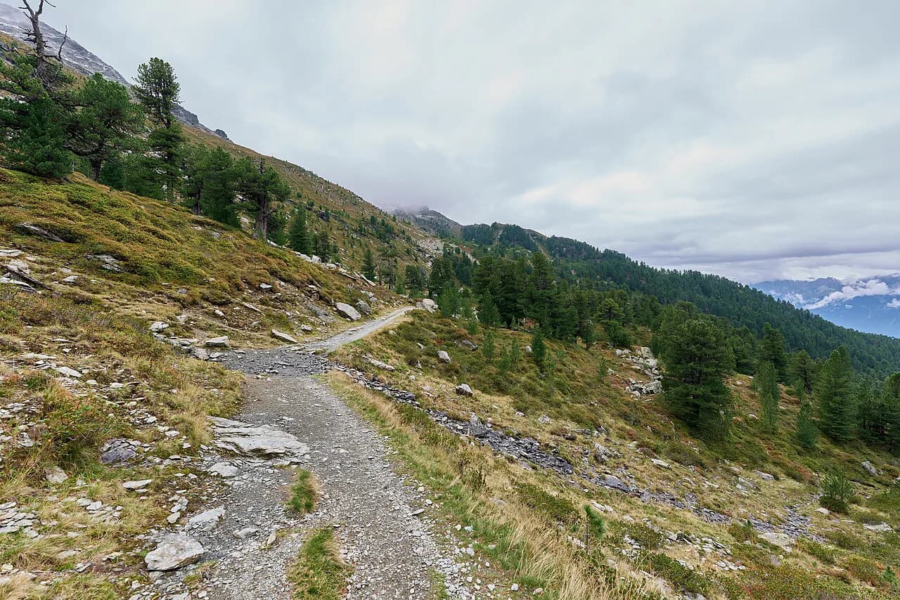
From Hungerburg you can reach the huts and mountain pastures of the Nordkette on walks of between 45 minutes and 1.5 hours, according to the lift operator. These walks stay below the tree line, so they are the best choice when cloud is sitting on the high ridge or when you want a gentle half-day. The Höttinger Alm is one of the classic destinations, and in summer it serves meals and drinks with a view back over the city.
The paths through this zone are wide agricultural roads and narrower dirt tracks, mostly easy to follow. If you want more ideas for low-level days, easy hikes in innsbruck lists options that avoid the exposed high ground, and the Umbruggler Alm area is a good starting point for an undemanding half-day.
The Seilbahnsteig from Hungerburg to Seegrube: steep grade, narrow dirt path, sustained climb
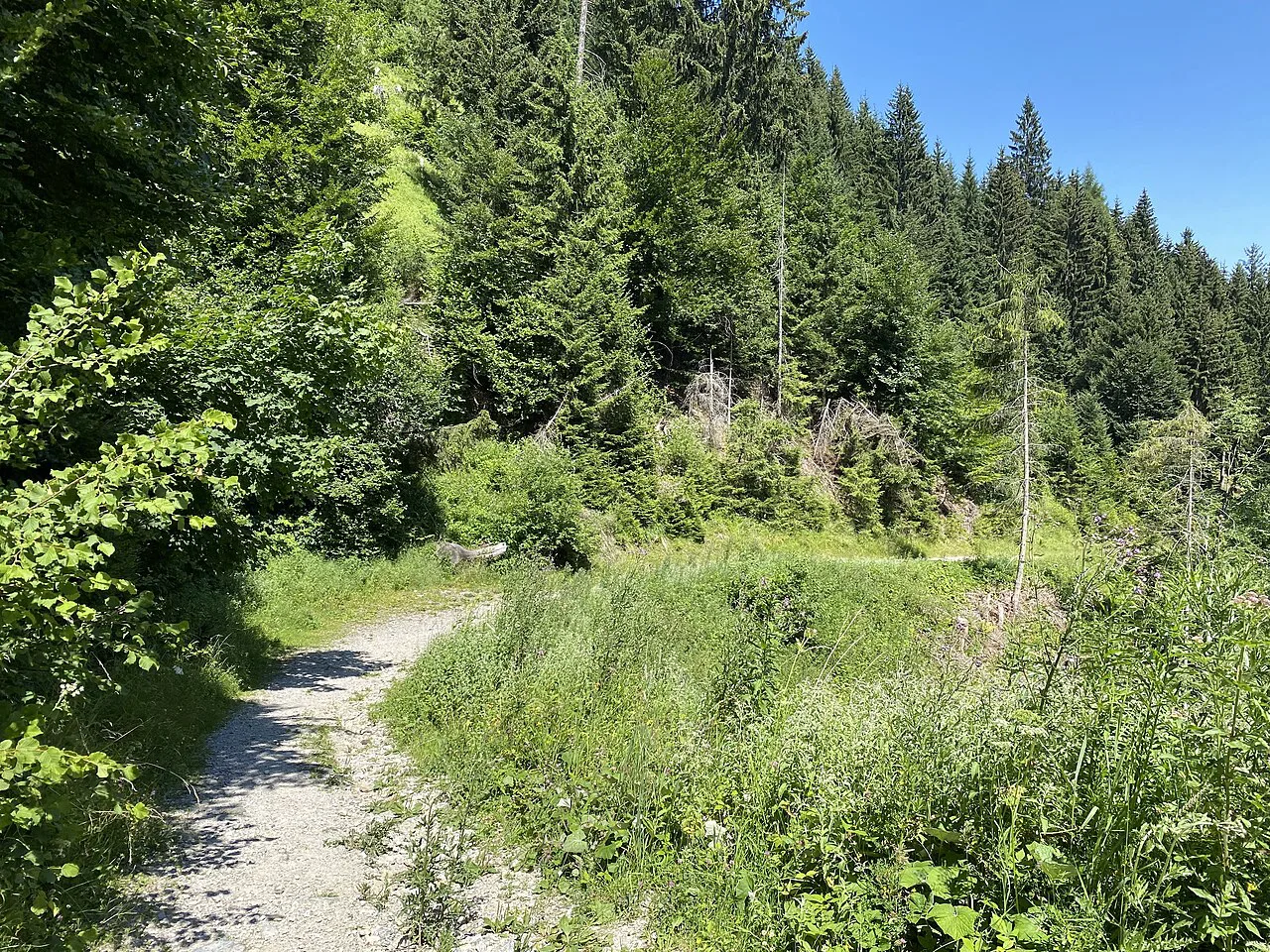
The Seilbahnsteig is the direct line from Hungerburg up to Seegrube, running roughly under the lift line. Hiking notes describe it as a narrow dirt path with a sustained grade of more than 30 percent for over a mile and a half. That makes it a serious climb of leg strength rather than technical skill, and it is the quickest way to gain the high ground without buying a lift ticket.
Because the path is steep and mostly unsheltered on the upper section, start early and carry water. Turning around on the climb gives you the best city views, so it rewards a slow pace rather than a race. In wet weather the dirt surface can be slippery, and in late autumn the upper part can hold snow.
Hafelekar summit and the Top of Innsbruck: short high-altitude ascent from the top station
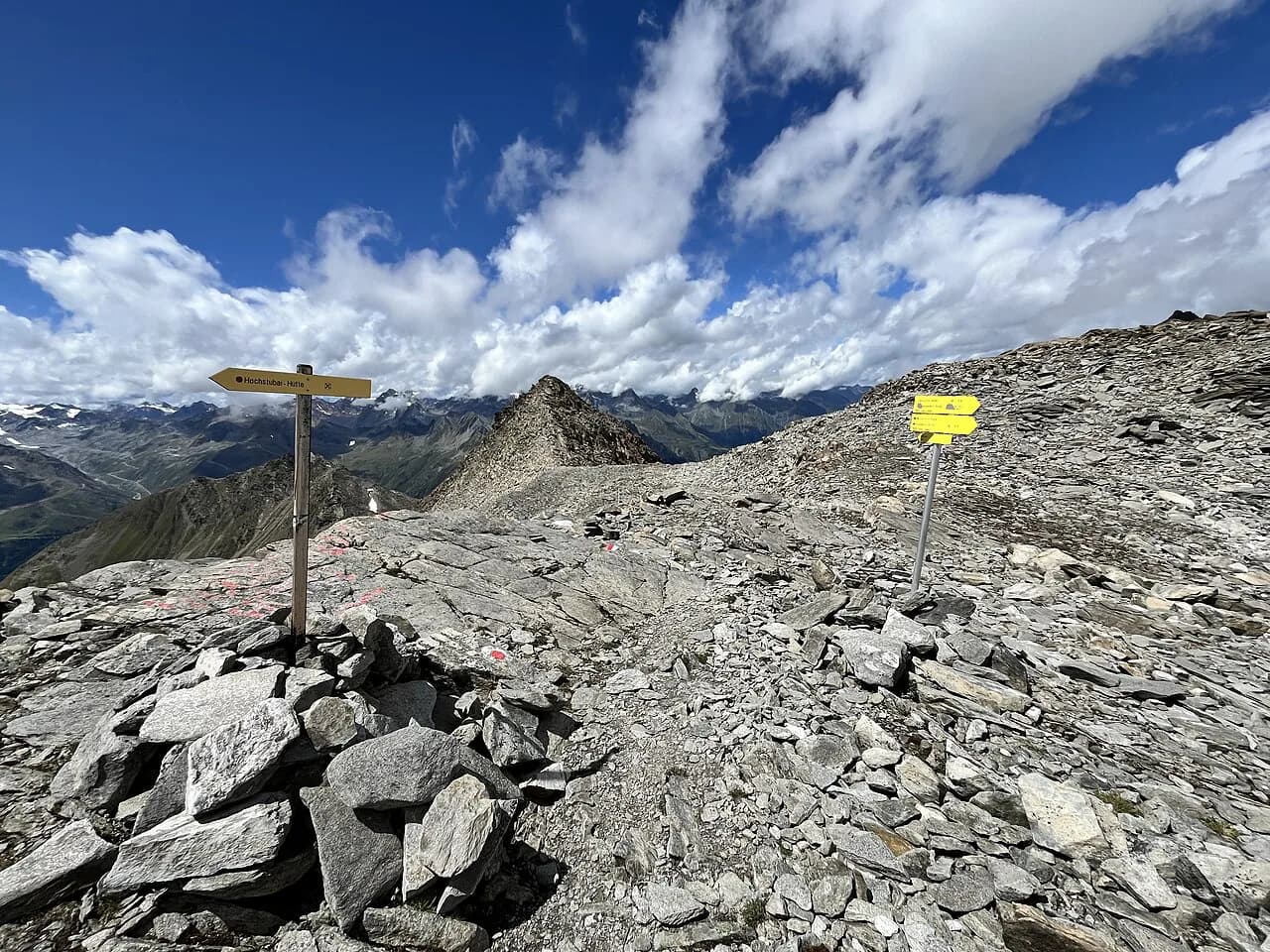
From the Hafelekar top station, a short ascent reaches the summit and the Top of Innsbruck viewpoint. The lift operator describes this as one of the short hikes on the Nordkette, suitable for walkers who want high alpine scenery without a long day. The route is rocky and exposed near the top, so keep an eye on the weather and wear shoes with grip.
Because the summit sits above 2,200 metres (7,200 feet), the air is cooler and the wind stronger than in the city. Bring a layer even on a warm day, and turn back if cloud reduces visibility on the rocky ground. The short climb still gives a genuine high mountain feel, which makes it a good option for mixed groups.
The Nordkette Perspective Trail at Seegrube: easy high-level walking with city views
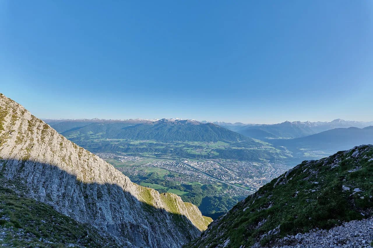
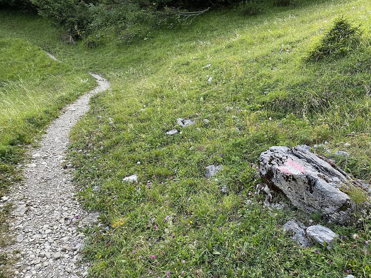
The Nordkette Perspective Trail starts at Seegrube and runs across the front face, staying roughly level. The lift operator lists it among the short, easy walks from the middle station, so it suits anyone who wants the high alpine setting without a big ascent. The trail looks down on Innsbruck for much of its length, which makes it one of the most rewarding easy high-level walks in the area.
Stay on the marked path where it crosses loose ground. Rockfall has affected parts of this face in the past, and hiking notes mention that early-season conditions can leave debris or snowfields across the trail. If the path looks disturbed or snow-covered, it is sensible to turn back rather than force a crossing.
Longer options: Goethe Trail into the Karwendel Nature Park and the Adlerweg long-distance route
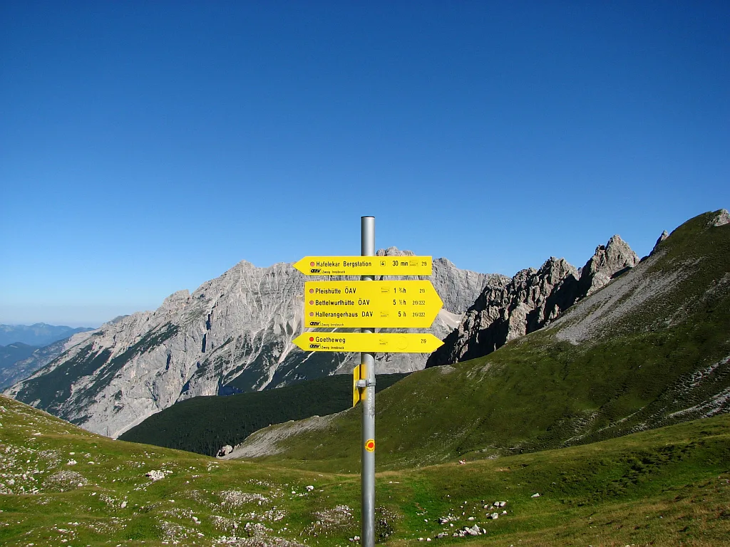
For a longer day, the Goethe Trail leaves the Nordkette proper and heads into the Karwendel Nature Park. The lift operator names it among the full-day options from the Nordkette, alongside the Adlerweg long-distance route, which crosses the range on its way across the eastern Alps. These are bigger undertakings than the high-level loops, so plan your lift return or a valley exit before you start.
The Karwendel side of the range is quieter and greener than the city face. If you want an alternative high-level traverse in the same region, the Zirbenweg Hike crosses a larch and pine plateau above Innsbruck and is well suited to a relaxed day. The Boscheben Hütte makes a natural stop on that route. For a comparable high-level traverse across the border, the Garmisch-Partenkirchen hiking guide covers similar ridge walks in the Bavarian Alps.
Distance, ascent and time for the main route choices
The Nordkette Perspective Trail and the short Hafelekar summit walk are the gentlest high options, with little climbing beyond what the lift provides. The hut walks from Hungerburg take between 45 minutes and 1.5 hours each way, according to the lift operator's time bands, which makes them easy to fit into a half-day. Those two categories cover most casual hikers.
The Seilbahnsteig climb from Hungerburg to Seegrube is the steepest direct route, with a sustained grade above 30 percent for more than a mile and a half according to hiking notes. That is a full leg workout, and most hikers should allow a generous morning for it rather than squeezing it into an afternoon. If you use the lift one way, you can walk up and ride down, or the reverse.
The cable car platform route has a third-party estimate of 4.5 kilometres (2.8 miles) with 1,016 metres (3,333 feet) of ascent, taking about 2.5 to 3 hours. Those figures come from a hiking database rather than the lift operator, so treat them as a rough guide.
Exposure, rockfall and snow on the high sections, and how to respond
Above Seegrube the paths cross open, exposed ground with little shelter. Hiking notes warn of rockfall on the front face, particularly after wet spells and early in the season when the slopes are still settling. If you hear or see falling stones, move out of the fall line and stay behind solid ground rather than stopping directly below a slope.
Snow can linger on the upper trails into late spring, and early snow can arrive in autumn. The front face can hold snowfields that block the marked route even when the lower paths are clear. Carry poles, and be ready to turn back at the first snowfield rather than crossing it without an axe and the skills to use one.
When to go: snow on the upper trails, late-autumn conditions and the lift season
Summer and early autumn give the most reliable conditions on the Nordkette. The hut walks from Hungerburg work from late spring through autumn, and the high-level Perspective Trail is best on dry, clear days. Late autumn can bring snow to the upper trails while the valley is still mild, so check the lift operator's webcams before committing to the summit.
Winter is the domain of skiers and snowshoers on the lower wooded trails, and the upper ridge is a serious winter mountaineering objective. If you are visiting in late autumn or early spring, plan a low-level hut walk and keep the high ridge as a bonus only if the snow line sits above your route.
Huts and food on the way: Hungerburg, Seegrube, Hafelekar and mountain pastures
There is food and shelter at each level of the lift chain, and the mountain pastures below the tree line offer meals and drinks in summer. The Höttinger Alm is the best known, and hiking notes describe it serving meals and drinks with a view over Innsbruck in the summer season, with autumn visits still worthwhile for the setting. Seegrube and Hafelekar have restaurant facilities at the stations, which are open with the lifts.
Carry water anyway, because the high routes have no reliable natural source and the upper huts keep short hours outside the main season. If you are planning a longer day toward the Karwendel, check hut opening times directly with the alpine club or operator before you rely on them.
Which route fits your fitness, your time and whether you have a car
If you have half a day and want big views with modest effort, ride to Seegrube and walk the Perspective Trail, then take the lift down. If you want a true summit day without technical climbing, use the lift chain to Hafelekar and walk the short summit route. If you are training or want the satisfaction of a full climb, take the Seilbahnsteig from Hungerburg and ride the lift down to save your knees.
Hikers without a car have the easiest day, because the lifts and city buses drop you within minutes of the trails. Drivers can park in the city center and walk to the Altstadt station, but there is no large trailhead car park on the Nordkette itself. Give yourself a buffer at the end of the day so you are not rushing for the last lift down.
Where to base yourself in Innsbruck for a Nordkette day
The Altstadt and the streets around Rennweg put you within walking distance of the Hungerburgbahn base station, which makes early starts easy. Staying in the old town also means you can walk back to your hotel after a long day rather than arranging transport. If you prefer a quieter base, the area around Hungerburg is handy for the lower trails.
For a longer stay, the innsbruck hiking guide covers the surrounding valleys and villages, including places like Natterer See, where a camp or guesthouse base gives you more options on rest days. The Nordkette remains the closest mountain day from any Innsbruck address.
Plan Your Nordkette Day
The Nordkette gives you a genuine mountain day without leaving Innsbruck, and the lift chain lets you set the effort level. Choose the Perspective Trail for an easy high-level walk, the Hafelekar summit for a short high point, or the Seilbahnsteig for a proper climb. Carry a layer, water and poles, and keep an eye on the snow line and the weather.
Lift times, seasonal opening and hut hours change, so confirm them with the Innsbrucker Nordkettenbahnen before you travel. With a plan that matches the day's conditions, the Nordkette is one of the most rewarding city-based hikes in the Alps.
Frequently Asked Questions
Is the Nordkette worth it for hikers staying in Innsbruck?
Yes, because the lift chain reaches high alpine terrain within minutes of the old town. You can walk high trails, visit a summit and be back in the city the same afternoon.
How hard is the Nordkette hike?
It depends entirely on the route. The Perspective Trail and the Hafelekar summit walk are short and moderate, while the Seilbahnsteig is a sustained steep climb and the longer Goethe Trail crosses into the Karwendel Nature Park.
Can you hike the Nordkette without a cable car?
Yes. Marked trails climb from near the Alpenzoo to Hungerburg, and the Seilbahnsteig is a direct footpath from Hungerburg to Seegrube. You can also walk down instead of riding, which saves the lift fare but costs you time.
How long does the Seegrube to Hafelekar hike take?
The short summit route from the Hafelekar top station takes under an hour on foot for most walkers, though the altitude and rocky ground slow the pace. If you mean the climb from Seegrube to Hafelekar, allow more time and check conditions before setting out.
What is the Nordkette Perspective Trail?
It is a high-level walking trail from Seegrube that traverses the front face above Innsbruck. It is one of the easier high options on the range, with city views for much of its length.
When is the best time to hike the Nordkette?
Summer and early autumn give the most reliable conditions. Late spring can leave snow on the upper trails, and winter turns the high ridge into a serious mountaineering objective, so match the season to the level you plan to walk.
Sources
Trail notes for your next trip
Optional updates when we add or revise hiking guides.
You might also like
Continue reading
More guides you'll find useful