Easy Hikes in Innsbruck: Short Trails With Big Views
Easy hikes in Innsbruck, from the Nordkette lifts to the near-flat Zirbenweg above Igls, with valley trails and forest walks for short days and mixed fitness.
On this page
Innsbruck is one of the few Alpine cities where a genuine mountain day starts at a tram stop in the old town. Lifts carry you most of the height, forest roads and balcony-style traverses keep the gradients gentle, and the city bus reaches a second ridge on the south side. That makes the city a sensible base for hikers who want views without a long climb.
The easy options below sort by how much help you get: full lift assistance on the Nordkette, a high start with almost no gain on the Zirbenweg, and low-level forest and valley routes that stay walkable when the upper mountains are snowy. Most sit inside the Nordkette or the Patscherkofel slopes above Igls, both within the city limits.
Why Innsbruck Works for Short, Low-Effort Days
The Nordkette chain rises directly behind the city, and the Hungerburg railway climbs from the center to Seegrube and on toward Hafelekar, so you can pick how much height to ride and how much to walk. On the south side, the Patscherkofelbahn above Igls lifts you to a high balcony path. Both mean a big-view morning without a big climb.
Short day hikes cluster around the same hubs: the Hafelekar to Seegrube traverse, the Hungerburg to Arzler Alm path, and the Zirbenweg above Igls. All are day-length or half-day outings that begin at a lift station or a city bus stop rather than a remote car park.
Nordkette from the City Center
Start at the Hungerburg funicular in the city and ride to the Hungerburg, then switch to the cable car for Seegrube and, if you want the top, Hafelekar. Walking between the stations lets you set your own distance and elevation change; the lifts do the heavy vertical work and you choose the ridge section.
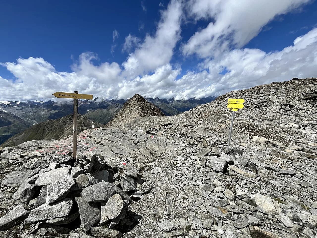
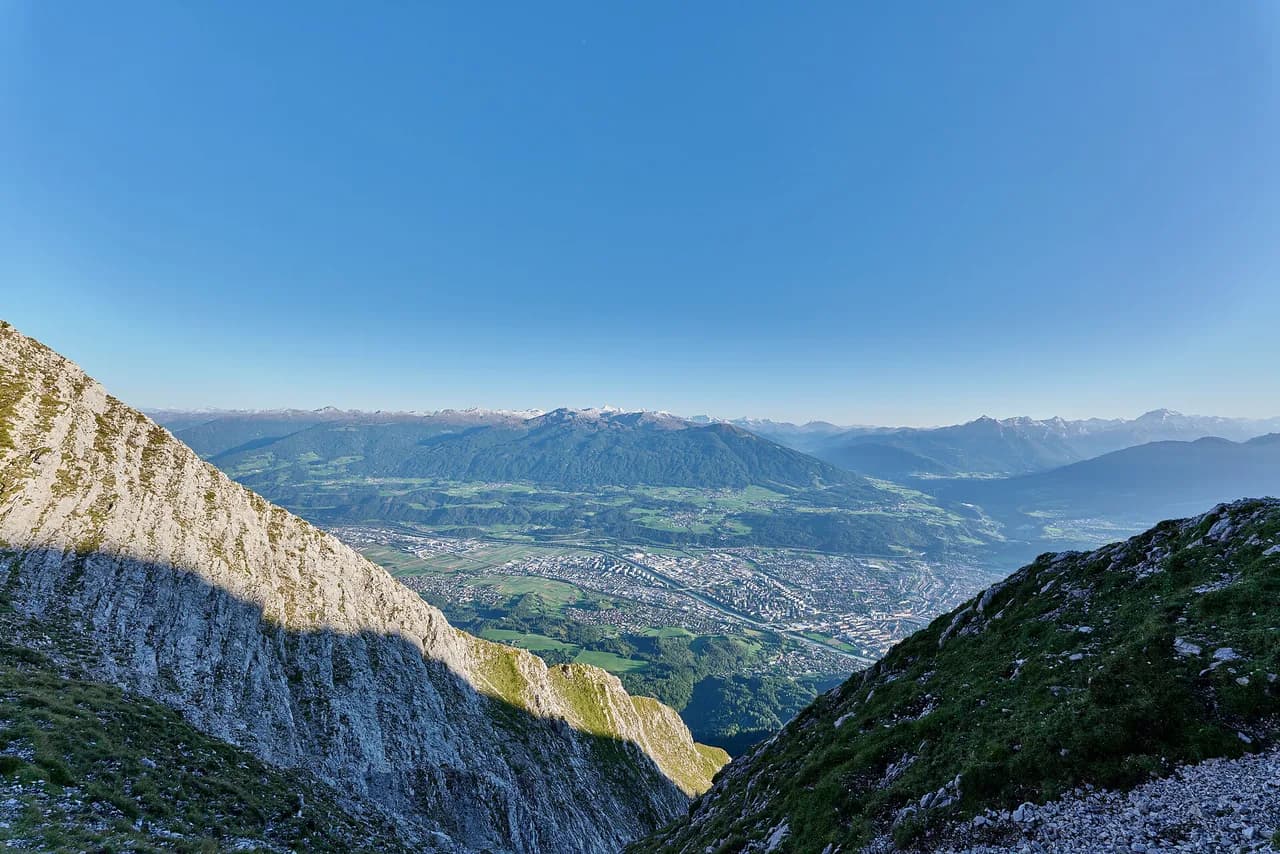
Between Seegrube and Hafelekar the terrain is high, open and exposed, with rocky ground and steep drops close to the path. In wind, rain, low cloud or lingering early-season snow this is not a beginner outing, so save the ridge for a settled, clear day and stay on the lift-served terraces instead.
If you want the ridge in full, the Nordkette hike page breaks the traverse into sections and shows where the cable cars shorten the day. Hikers with a head for exposure and a taste for fixed cables can look at the Innsbrucker Klettersteig, which is a step up from a walking route.
For the gentlest introduction, ride all the way to Hafelekar, look over the ridge, and walk back down to Seegrube at your own pace before taking the cable car down. It keeps the climb at zero and still puts you above the city at altitude.
Zirbenweg from Igls: The Near-Flat High Traverse
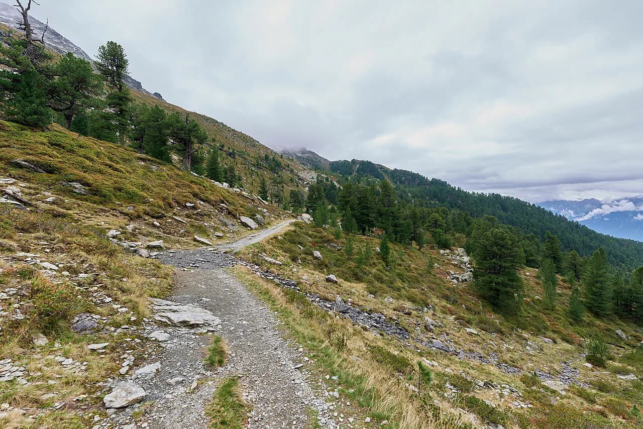
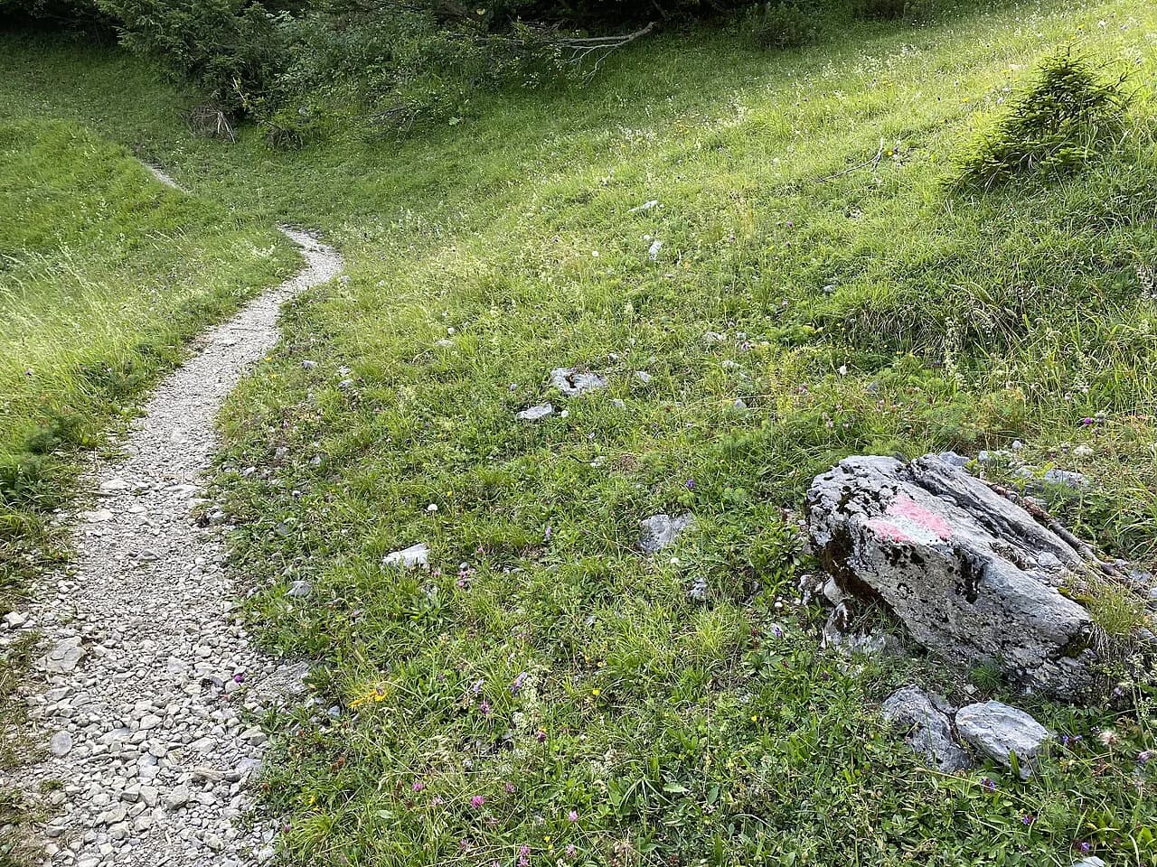
The Zirbenweg is the low-effort, high-viewpoint pick. It leaves from the Patscherkofelbahn top station above Igls and runs as a roughly level traverse through stone-pine forest with views over Innsbruck and the Inn valley, so the height is gained by lift rather than by your legs.
The route is easily reached on the J line city bus to Igls, which connects the village and the lift base with the center. Because the path itself is close to flat, it suits mixed fitness groups and short days, but the balcony position means it is not a valley walk in bad weather.
If you want more gain, extend toward the Glungezer, a longer and more demanding continuation from the same high ground. Treat it as a separate, harder day rather than an add-on to a gentle morning, and turn back if cloud builds.
Huts along the way give you a natural turnaround point; the Boscheben Hütte sits on the traverse and makes a sensible lunch stop before you retrace your steps to the lift. The Zirbenweg Hike page covers the layout and how to shorten the walk using the lift.
Umbruggler Alm and the Lower Nordkette Slopes
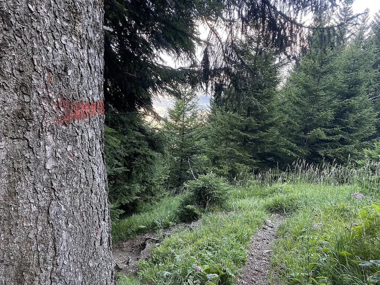
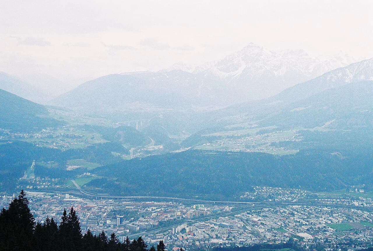
The Umbruggler Alm is the low-elevation alternative on the Nordkette's lower slopes, reached by forest roads or trails rather than by cable car. The gradient is gentler than the ridge, the path is sheltered for much of the way, and an alpine hut at the top gives the walk a clear destination.
It is the right choice when the high stations are in cloud or when you want a walk from the edge of the city without committing to lift timetables. Arzler Alm, on the same side above Hungerburg, is another short forest destination that pairs with a walk down to the funicular.
Valley Walks and Lower Trails for Snowy Days
In spring and late autumn the valley floor can be green while snow still lies on the Nordkette and the higher Patscherkofel paths. On those days, keep to low forest routes and riverside and meadow walks around the city and the villages, where the ground clears first and the gradients stay modest.
The same lower paths are groomed and walked in winter, so the city stays a hiking base outside the summer season. Use the lift webcams and station reports to judge whether the upper routes are clear; lift operators publish operating status and seasonal closures on their own sites.
Distance, Ascent and Time at a Glance
Treat the two lift-served routes as short half-days: the Zirbenweg traverse is the flattest and most forgiving, while the Seegrube to Hafelekar ground involves more height change and rougher footing. The Umbruggler Alm forest walk is longer on foot but gentler in gradient, and the city valley walks can be cut to any length.
Published route listings give each trail's distance and elevation profile, which is the sensible way to match a walk to your group's fitness. For the Zirbenweg, the traverse itself is close to level, so any real climbing comes from an extension such as the Glungezer.
Getting to the Trailheads Without a Car
The Hungerburg funicular leaves from the city center, so the Nordkette stations are reachable on foot from most central hotels. For Igls and the Patscherkofelbahn, the J line city bus connects the center with the village and lift base, which makes the Zirbenweg a car-free day out.
Many further trailheads sit 30 to 60 minutes from the city by bus or train, which shapes a short day: pick a route that ends at a stop rather than a remote car park, and plan the descent around the last lift or bus. Timetables come from the local transport operator rather than trail signs.
When to Go
Summer and early autumn give the most reliable conditions on the high routes, with the Nordkette ridge and the Zirbenweg usually clear of snow. Late spring can still leave snow on the upper ground while the valley is green, so plan the lower forest and valley walks for those weeks.
Afternoon storms are the main seasonal hazard on the exposed Nordkette ground, so start early and be off the ridge by mid-afternoon. On the sheltered Umbruggler Alm and valley paths, weather matters less, which makes them the fallback when the forecast is unsettled.
What to Wear and Carry
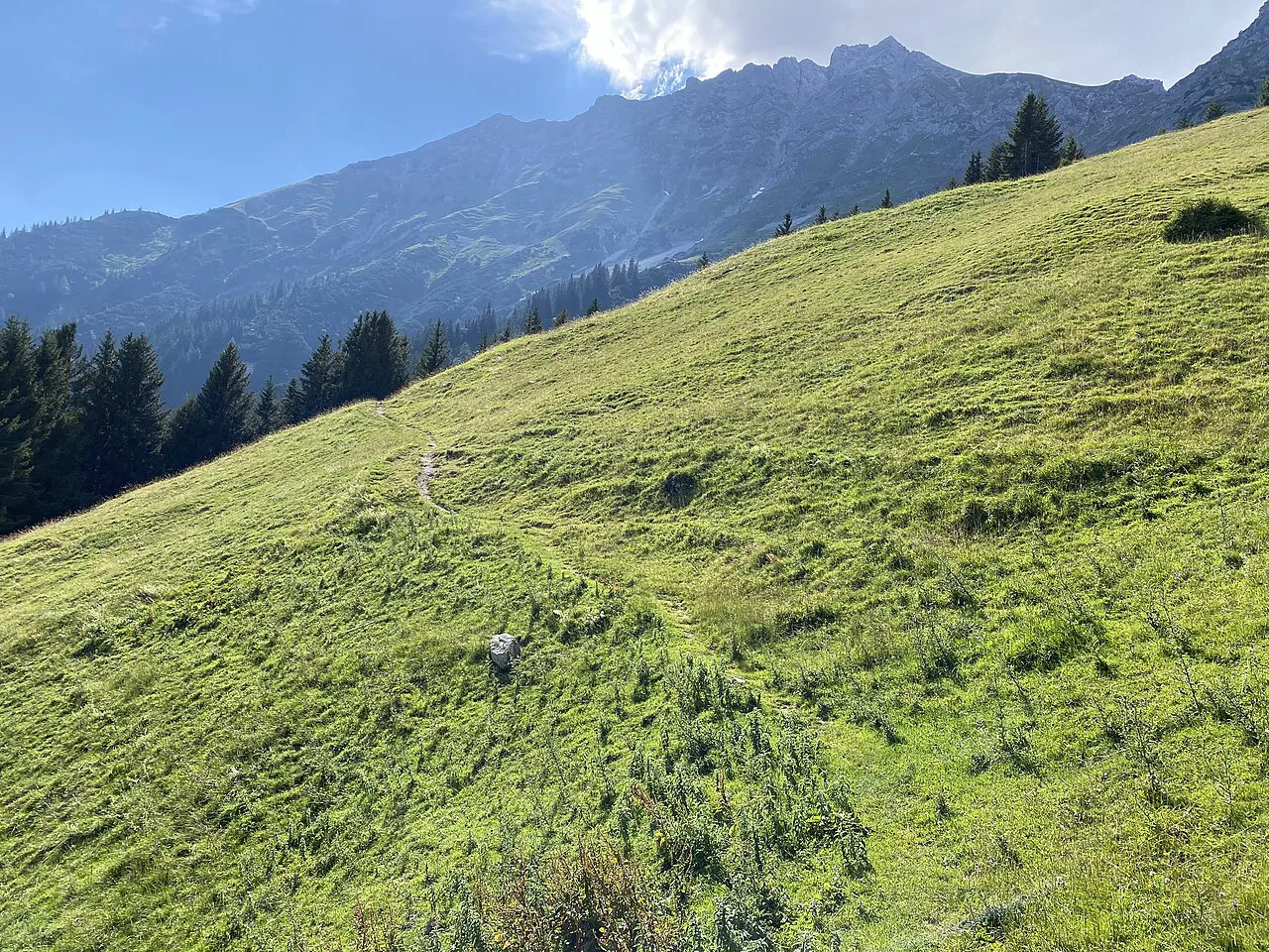
On the Nordkette, take a windproof layer and proper footwear even in summer: the ridge is open, the weather changes fast, and the ground is rocky. On the Zirbenweg and forest paths, lighter footwear and a rain shell are usually enough, but carry water since the high traverse has limited sources between huts.
A paper or offline map helps on the lower forest roads around Umbruggler Alm and Arzler Alm, where several paths meet. Check the lift operator's own page for seasonal operating dates before relying on a cable car for the descent.
Where to Base Yourself
The old town and the area around the Hungerburg funicular put the Nordkette lifts within a short walk, which suits hikers who want early starts on the ridge. Igls, on the south side, is quieter and sits at the foot of the Patscherkofelbahn, making the Zirbenweg a doorstep outing.
The main hiking in Innsbruck guide groups the city's areas by access and difficulty, which helps you choose between a central base and a village stay. Campers can also look at Natterer See, south of the city, as a base for the Igls side. If you are weighing a base on the other side of the border, the Garmisch-Partenkirchen hiking guide covers a comparable set of lift-served trails.
Huts and Refreshment Stops on the Easy Routes
Huts give the easy routes a natural aim: the Umbruggler Alm on the lower Nordkette, Arzler Alm above Hungerburg, and the Boscheben Hütte on the Zirbenweg traverse. Opening days vary by season, so the hut or lift operator's own page is the place to confirm service before you set out.
On the high Nordkette ground, the Seegrube station area provides shelter and food, which makes it a sensible turnaround point in changeable weather. Carry your own water regardless, since the exposed ridge section between stations has few reliable sources.
Plan Your Easy Innsbruck Day
For the shortest effort with the biggest view, take the Hungerburg railway up and walk the Seegrube terrace, or ride the J line to Igls and walk the Zirbenweg. For a sheltered forest day with a hut at the end, choose the Umbruggler Alm or Arzler Alm; for snowy shoulder weeks, stay in the valley.
Match the route to the forecast and the group, start early on the exposed Nordkette ground, and check lift operating dates with the Nordkette cable car before you build a day around it. That is enough to turn a short city break into a proper mountain morning.
Frequently Asked Questions
What is the easiest hike with a big view near Innsbruck?
The Zirbenweg from the Patscherkofelbahn above Igls is the flattest high route: the lift does the climbing and the traverse runs through stone pine with views over the Inn valley. It is reached on the J line city bus from the center.
Can you hike in Innsbruck without a car?
Yes. The Hungerburg funicular leaves from the city center for the Nordkette, and the J line bus connects the center with Igls and the Patscherkofelbahn. Many further trailheads are 30 to 60 minutes away by city bus or train.
How long does the Zirbenweg take?
Because the traverse is close to level, walking time depends mostly on how far along the path you go and how long you stop at the huts. Check a route listing for the distance and elevation profile before you set a schedule.
Is the Nordkette suitable for beginners?
The lift-served terraces around Seegrube suit short walks, but the ridge ground toward Hafelekar is exposed and rocky. Beginners should stay on the terraces or choose the lower forest paths in wind, rain or lingering snow.
When is the best time for easy hikes in Innsbruck?
Summer and early autumn give the most reliable conditions on the high routes. Late spring and late autumn favor the valley and forest walks, when snow still lies higher up and afternoon storms are less of a concern on sheltered paths.
Are there huts on the easy routes?
Yes. Umbruggler Alm and Arzler Alm sit on the lower Nordkette, and the Boscheben Hütte lies on the Zirbenweg traverse. Opening days vary by season, so confirm service with the hut or lift operator.
Sources
Trail notes for your next trip
Optional updates when we add or revise hiking guides.
You might also like
Continue reading
More guides you'll find useful