Zirbenweg Innsbruck: Choose Your Stone Pine Trail Route
The Zirbenweg runs 7 km from the Patscherkofel lift to the Tulfeinalm above Innsbruck. Here is the route, lift access, timing and the season to walk it.
On this page
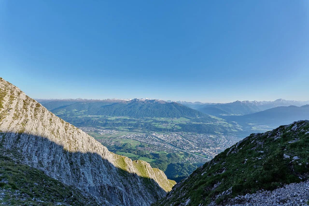
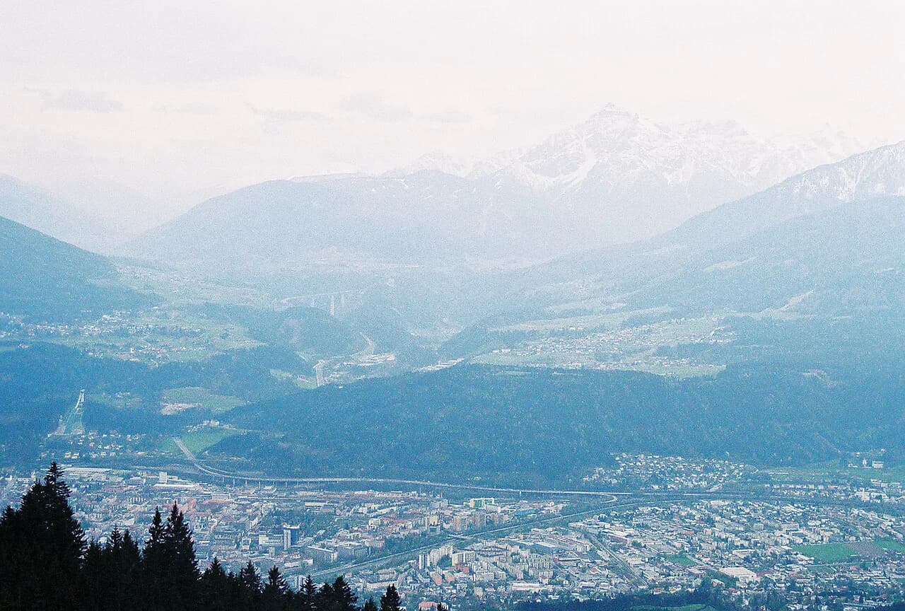
The Zirbenweg is the gentlest way to spend a full day above Innsbruck. It traverses a broad, open slope at roughly 2,000 m (6,560 ft), threading one of Europe's largest stands of Swiss stone pine, with the Inntal dropping away below and the Karwendel ridge filling the view across the valley. The walking is almost flat, but the altitude and the length mean it suits hikers who can keep a steady pace for a half day rather than a quick stroll.
What makes the route unusual is its shape: two lifts sit at either end of a single high path, so you walk it point to point instead of climbing to a summit and back. That is also why planning matters more than fitness here — the day works only if the Patscherkofel lift up and the Glungezer lift down (or the reverse) line up with the bus that links Tulfes and Igls. If you want more climbing from the same valley, the wider hiking in Innsbruck network includes steeper options.
What the Zirbenweg offers and who it suits
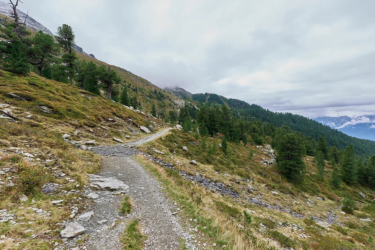
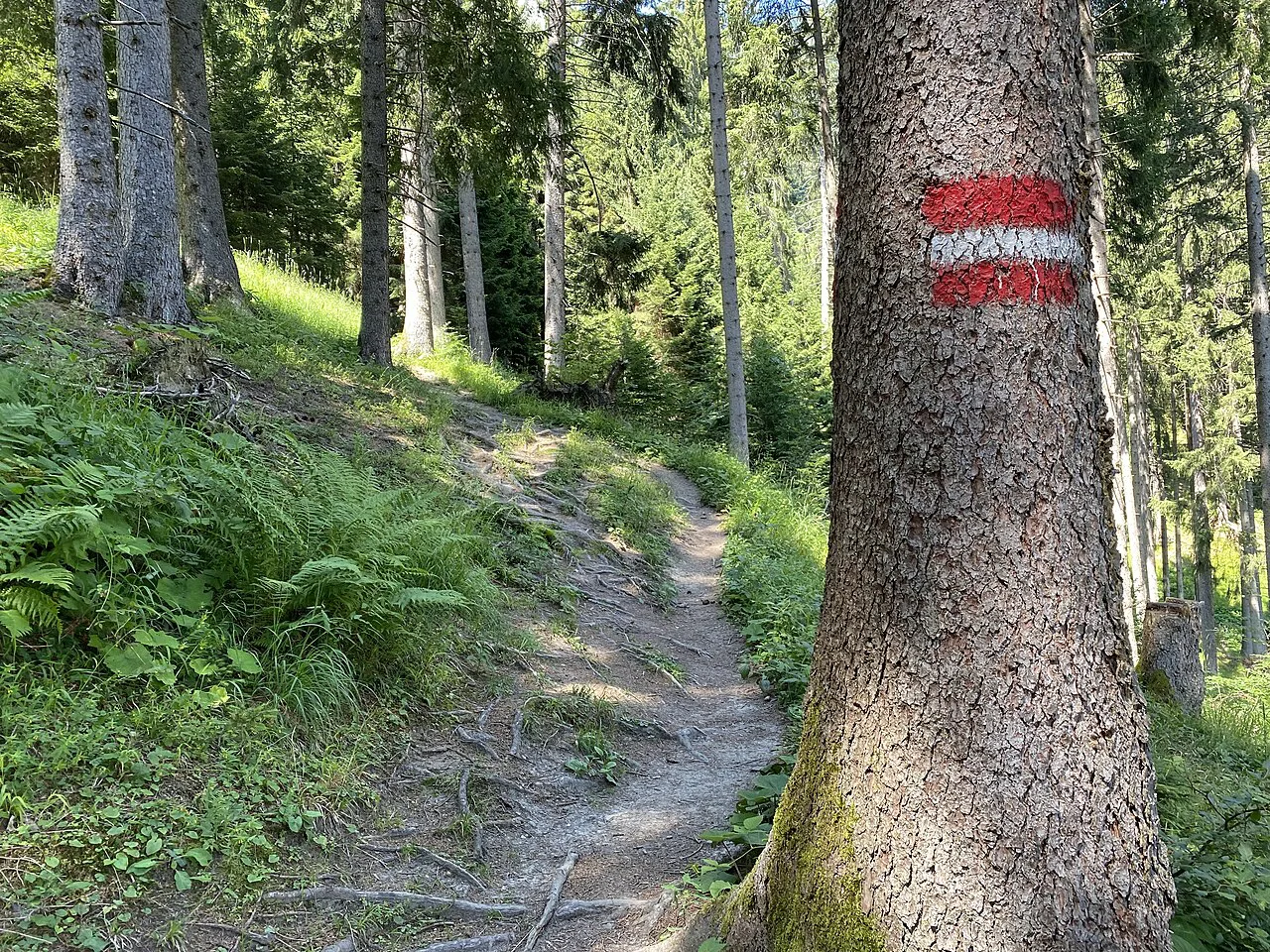
Expect a wide, well-trodden trail rather than a narrow mountain path. The route runs close to the treeline, so the forest is light and open, and for most of the walk you look down on the valley floor while the far side of the Inntal holds your gaze. The draw is the combination of big views and easy footing, not exposure or scrambling.
Families with children who can walk a half day are the natural audience, because the climbing is small and the horizontal distance is spread over gentle ups and downs. Hikers wanting a summit, a via ferrata or a long ascent will find the Zirbenweg underwhelming on its own and should pair it with something sharper. The trade-off is straightforward: you gain altitude and panorama with very little effort, but you give up the satisfaction of a summit. If you like the sound of lift-served, point-to-point traverses, the Austria hiking guide shows how the same pattern works across other mountain areas.
Where the trail starts and ends
The Zirbenweg begins at the Patscherkofel top station above Igls and ends at the Tulfeinalm above Tulfes, below the Glungezer. The alpine club's Naturlehrpfad Patscherkofel sets off from the same spot just above the Schutzhaus Patscherkofel, so the first minutes are shared with walkers doing short loops around the top station.
Walking in the other direction works equally well and is simply a matter of which lift you ride first. The Hall-Wattens tourism region describes the standard version as starting at the Patscherkofel and running east to the Tulfeinalm, with the bus bringing walkers from Tulfes to the Patscherkofelbahn valley station in Igls. Decide your direction by which valley station you can reach most easily on the morning of your hike.
Getting to the trailhead: Patscherkofel and Glungezer lifts, bus link and parking
Both ends of the route are served by cable cars. The Patscherkofelbahn from Igls lifts you to about 1,964 m (6,443 ft), and the Glungezerbahn runs from Tulfes; the tourism region describes the Zirbenweg itself as a walk at over 2,000 m reached by these lifts. Drive to whichever valley station you plan to finish at and leave the car there, then use the bus to reach the other lift.
The bus that connects Tulfes with the Patscherkofelbahn valley station in Igls is part of the round-trip ticket, which removes the awkward car shuffle between the two valleys. Buy the combined ticket at the valley station of either lift — the Glungezerbahn station on Glungezerstraße in Tulfes or the Patscherkofelbahn station on Römerstraße in Igls — rather than piecing the day together leg by leg.
Distance, ascent and walking time
The published figures put the route at about 7 km (4.3 mi) with roughly 200 m (656 ft) of ascent and 100 m (328 ft) of descent, and a walking time of about 2 hours 30 minutes excluding the lifts. A GPS-tracked version of the same traverse comes in at 7.35 km with 89 m of climbing and 178 m of descent, so treat the ascent and descent figures as a range rather than a precise contract. Either way, the climbing is modest and the distance is what you feel at the end of the day.
Allow more than the bare walking time. The path sits at altitude, the surface rolls continuously, and the views pull you up short; most hikers add time for a stop at the Boscheben Hütte and photographs along the way. If you have a lift to catch at the far end, work backwards from its last descent rather than from your start time.
Route description from the Patscherkofel top station to the Tulfeinalm
From the top station the path heads east above the Schutzhaus Patscherkofel, passing the panels of the Naturlehrpfad before settling into its long traverse. A broad steig runs along the treeline, gaining and losing height in small increments without any sustained climb, and the Boscheben Hütte appears slightly off the main line partway along. The whole route holds you above the Inntal with the Karwendel chain opposite, which is why it has a reputation as one of the classic high-level walks of the region.
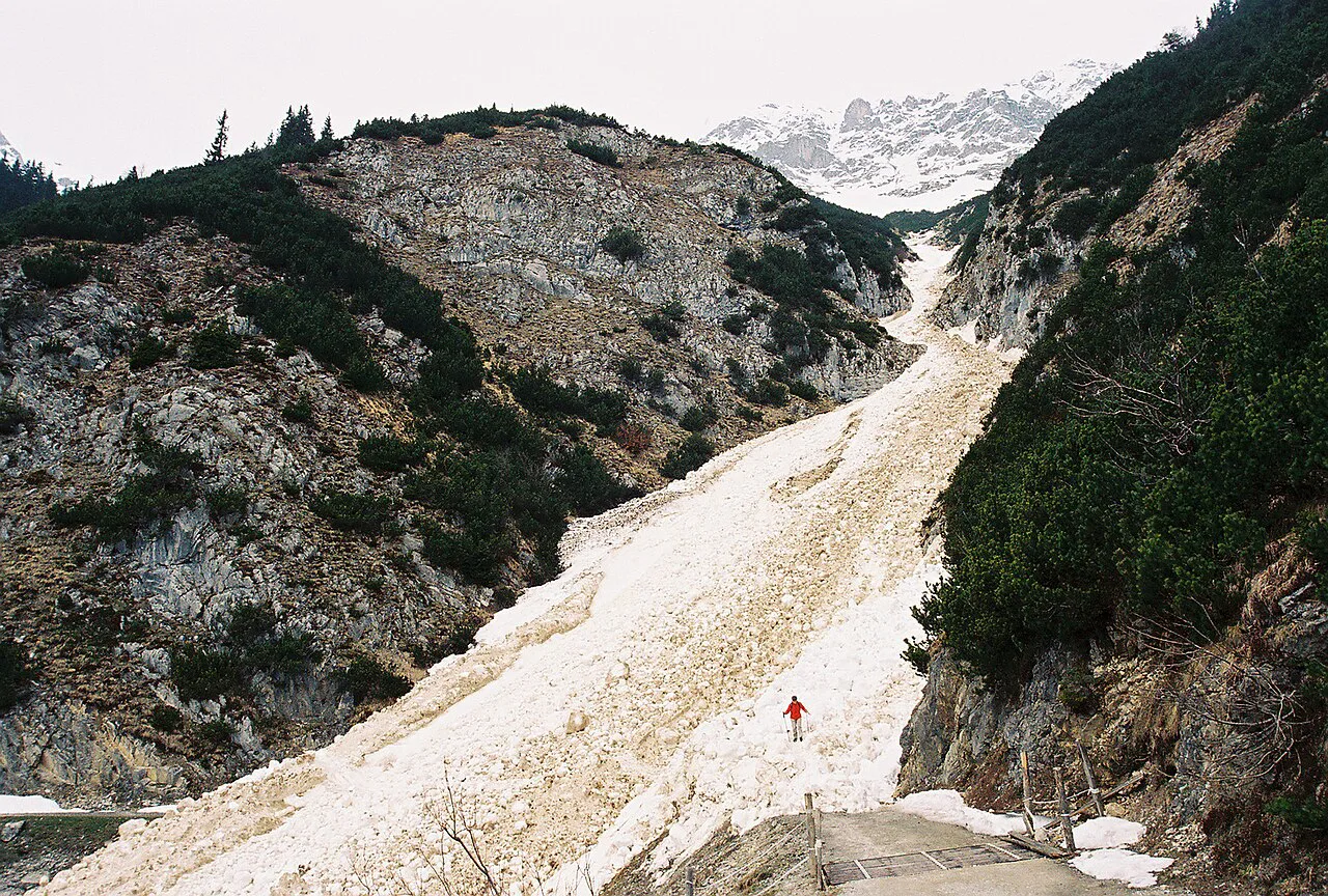
The walking is easy to moderate in technical terms: no scrambling, no fixed ropes, no exposure that would trouble a confident child. Snow is the real variable. The path holds drifts on shaded sections well into spring and can be icy after early autumn snowfall, which turns simple ground into a slip risk without changing the map grade. Carry poles in the shoulder months and be ready to turn around if the surface is firm and slick.
You finish at the Tulfeinalm below the Glungezer, where the Glungezerbahn takes you down to Tulfes. From there the bus or your parked car completes the loop.
The stone pines and the Naturlehrpfad
Swiss stone pine, the Zirbe, grows between roughly 1,400 m and 2,500 m in the western inner Alps, often mixed with larch and spruce. The stand here is unusually old and open, and the Hall-Wattens region notes that the strongest trees are around 250 years old, with one in the Ampasse area said to exceed 700 years. The trees give the walk its name and its smell.
Information panels along the Naturlehrpfad explain the species and its role as protection forest on these high slopes, so the first stretch doubles as a short open-air lesson. If your group includes children or anyone curious about the forest, the panels give a reason to slow down before the long traverse begins.
The Zirben-Rundwanderticket: what it covers and where to buy it
The Zirben-Rundwanderticket bundles the up and down rides on the Patscherkofelbahn and the Glungezerbahn with the bus transfer between the two trailheads, so one purchase covers the entire point-to-point day. It is sold at the valley stations of both lifts, in Tulfes and in Igls, with different rates for adults, youth, children and seniors and a reduced rate for guests holding a local guest card. Prices are published for the season they apply to, so confirm the current listing before you budget.
Compare the ticket against buying each leg separately if you are walking only part of the route or skipping the bus. For most hikers doing the full traverse, the bundle is the simpler and usually better-value choice because it removes the risk of arriving at the far lift without a way back to the car.
When to go: season, alm roses and snow on the path
The alpine growing season frames the walk. From May the slopes along the Zirbenweg carry a spread of alm roses, and summer brings the most reliable footing and the longest lift service. Early summer gives you flowers and lingering snow patches, while late summer gives you stable weather and clearer long views across to the Karwendel.
Autumn is quiet and often clear, but the first snow can arrive on these slopes early, and the path at around 2,000 m holds it longer than the valley. Before committing to a date in the shoulder months, ask the lift operators about conditions on the traverse. For a bigger day on the ridge above Innsbruck when the weather is settled, consider a Nordkette hike from the city.
Practical notes on exposure, weather and footing
At around 2,000 m (6,560 ft) the weather changes faster than in the valley, and afternoon thunderstorms are the main hazard on an otherwise gentle path. Start early enough to be off the high traverse by mid-afternoon, and treat a building cumulus stack over the Karwendel as a signal to move. There is no technical terrain to escape onto, so timing is your main protection.
Footing is easy on dry ground but becomes the deciding factor on wet or snowy days, when the rolling path and its shaded corners turn slick. Sturdy shoes with a decent tread are enough for the route in summer; add poles and gaiters when snow is likely. The Boscheben Hütte provides a natural mid-route stop to reassess conditions before the second half.
If the Zirbenweg leaves you wanting more vertical ground, the easy hikes around Innsbruck include shorter options such as the Umbruggler Alm, and the more technical ground of the Innsbrucker Klettersteig is a step up again. Choose the objective to match the day's weather rather than forcing a plan.
Plan Your Visit
Build the day around the lifts and the bus, not the trail alone: ride up at one end, walk the traverse, descend at the other, and let the combined ticket handle the transfer back to your car. Start earlier than the bare walking time suggests, particularly in the shoulder months when snow lingers on the high path.
This is a route for a clear, settled day when you want altitude and panorama without a summit push. Take the stone pines, the panels and the long view across the Inntal as the point of the walk, and keep a sharper objective in reserve for the days when the weather closes in.
Frequently Asked Questions
How long is the Zirbenweg and how much ascent does it have?
The route is about 7 km (4.3 mi) with roughly 200 m (656 ft) of ascent and 100 m (328 ft) of descent, and a walking time of around 2 hours 30 minutes excluding lifts. A tracked version of the traverse comes in at 7.35 km with slightly different ascent and descent figures, so treat the numbers as a range.
Do you need a lift to hike the Zirbenweg?
The route is designed as a high traverse between the Patscherkofel top station and the Tulfeinalm, reached by the Patscherkofelbahn from Igls and the Glungezerbahn from Tulfes. Walking up from the valley instead would add substantial climbing to what is otherwise a nearly flat path, and the lifts make the point-to-point layout practical in a day.
Which direction should you walk the Zirbenweg?
Either direction works, and the choice usually comes down to which valley station you can reach most easily in the morning. The standard version starts at the Patscherkofel and finishes at the Tulfeinalm, with the bus linking Tulfes back to the Patscherkofelbahn valley station in Igls. Whichever way you go, finish where your car is parked or where the bus can collect you.
Is the Zirbenweg suitable for families?
Yes, for families whose children can walk a half day. The climbing is modest and the path is broad, with no scrambling or technical ground. The caveats are altitude and length: the route sits at around 2,000 m (6,560 ft), and snow in the shoulder months can make the easy ground slick.
What is the Zirben-Rundwanderticket and what does it include?
It is a combined ticket covering the up and down rides on the Patscherkofelbahn and Glungezerbahn plus the bus transfer between the two trailheads. It is sold at the valley stations in Igls and Tulfes, with separate rates for adults, youth, children and seniors and a reduced guest-card rate. Prices are published for the season they apply to, so check the current listing.
When is the best time to hike the Zirbenweg?
Summer offers the most reliable footing and the fullest lift service, and from May the slopes carry alm roses. Autumn is quieter and often clear, but early snow can settle on the high path and linger longer than in the valley. In the shoulder months, ask the lift operators about conditions on the traverse before setting out.
Sources
Trail notes for your next trip
Optional updates when we add or revise hiking guides.
You might also like
Continue reading
More guides you'll find useful