Zelene Pleso Hike, High Tatras: Trail, Distance and Time
Plan the Zelene Pleso hike from Tatranská Lomnica: distance, ascent, walking time, the forest trail to the lake and cottage, and train access to the trailhead.
On this page
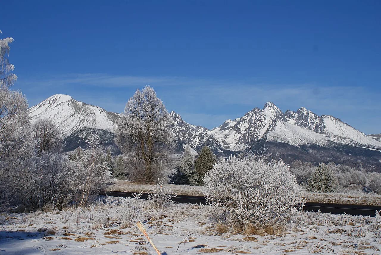
The Zelene Pleso hike is the High Tatras at their most accessible: a long climb through pine forest from the resort village of Tatranská Lomnica to a clear alpine lake cupped beneath huge granite peaks. It suits hikers who are comfortable being on their feet all day and want a genuine mountain day without exposed ridges or scrambling. The reward at the top is a small mountain cottage where you can eat and drink before the walk back down.
What makes this walk distinctive is the contrast between the enclosed, rocky forest trail and the sudden opening where the range appears around you. The gradients are moderate, but the distance is real, and the stone underfoot on the descent demands attention longer than most people expect.
Who the hike suits
Zelene Pleso fits fit walkers with a full day free and a moderate tolerance for long distances on hard ground. It is not a technical route: there is no via ferrata gear, no fixed cable and no narrow ledge to cross, so the challenge is stamina and footing rather than exposure. Hikers with limited time should look at shorter lake days in the same valley instead.
Families with younger children and first-time mountain walkers generally find the full out-and-back from Tatranská Lomnica more than they want, while regular hillwalkers treat it as a satisfying half-day to full-day outing. If you are building a week of trails around the range, this one works well as your long forest day between shorter objectives.
Trailhead and access
The walk starts at Tatranská Lomnica, a resort village of the High Tatras with its own railway station. From the station, head north uphill to the main road, cross to the park and pick up the marked route on the far side; the trail and its parking area sit a few minutes' walk beyond. Trains and buses run between Poprad and Tatranská Lomnica, so a car is not required for the day.
If you drive, use the parking area near the start of the marked trail rather than the station, which saves a short walk at either end of the day. The village also serves as the gateway to the cable car up to Lomnický štít, so the streets are busiest in the morning.
Distance, ascent and time
The published figures for this trail describe different versions of the day. The full out-and-back from Tatranská Lomnica covers 21.2 km (13.2 mi) with about 718 m (2,356 ft) of ascent and takes 7 to 9 hours at a steady pace with stops. A shorter published line gives roughly 10 km (6.2 mi) and 670 m (2,198 ft), which reflects a partial or direct line to the lake rather than the full village-to-lake-and-back day.
Another published measurement puts the route at 12.2 mi (19.6 km) with 2,477 ft (755 m) of gain in about 6.5 to 7 hours. The variation is normal for a mountain with several approach lines, so pick the version that matches your starting point and fitness rather than treating one number as definitive.
Budget your day by daylight, not by a target pace. The climb is gradual and the descent is where the uneven stone eats time; most hikers get back to Tatranská Lomnica in the late afternoon. Leave a margin for the last train or bus back toward Poprad rather than planning the tightest connection.
Route description
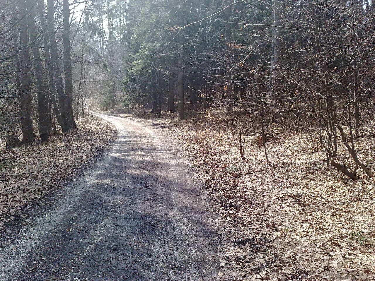
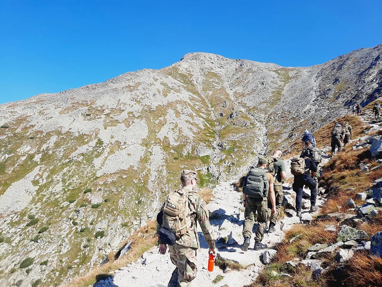
From the village the marked trail enters pine forest and stays in it for a long stretch, gaining height steadily on a path paved in places with small, uneven stones. The forest keeps the views closed for much of the climb, which makes the walk feel longer than its profile suggests; this is where hiking boots earn their place over trainers.
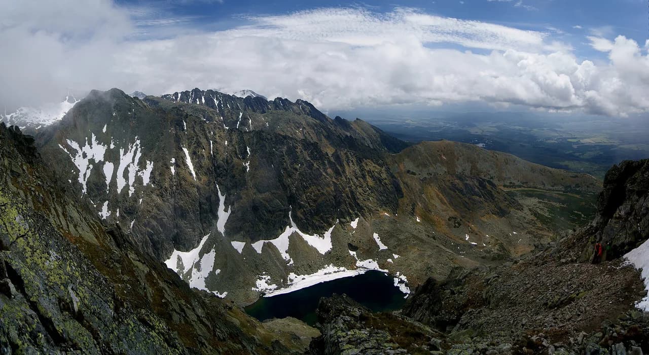
The route leaves the trees at an opening where the High Tatras peaks rise on all sides and the ground turns rockier. From here the trail runs on for a few more minutes of gentle climbing to the lake shore and the cottage beside it, with a waterfall visible at the far end of the water.
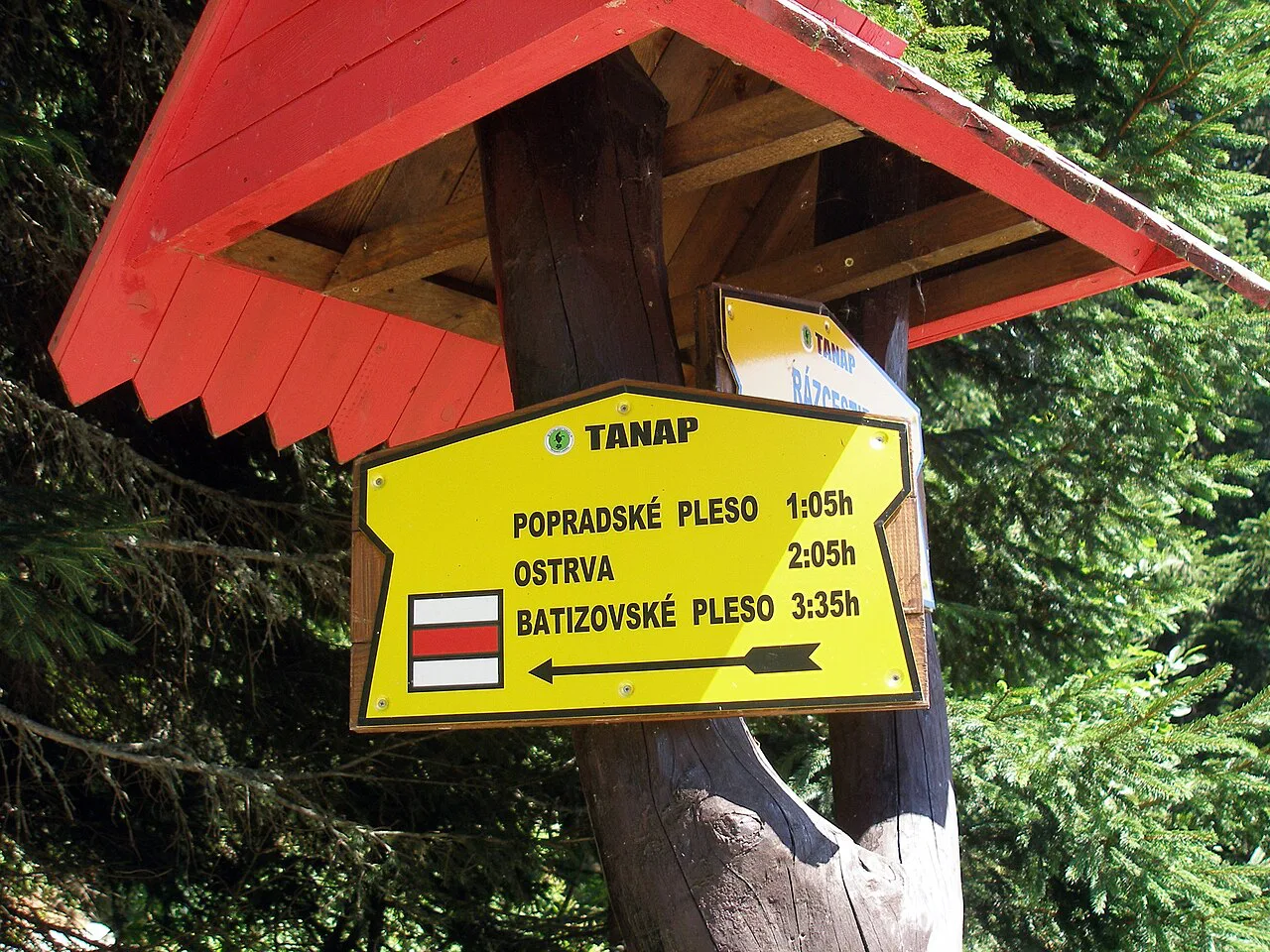
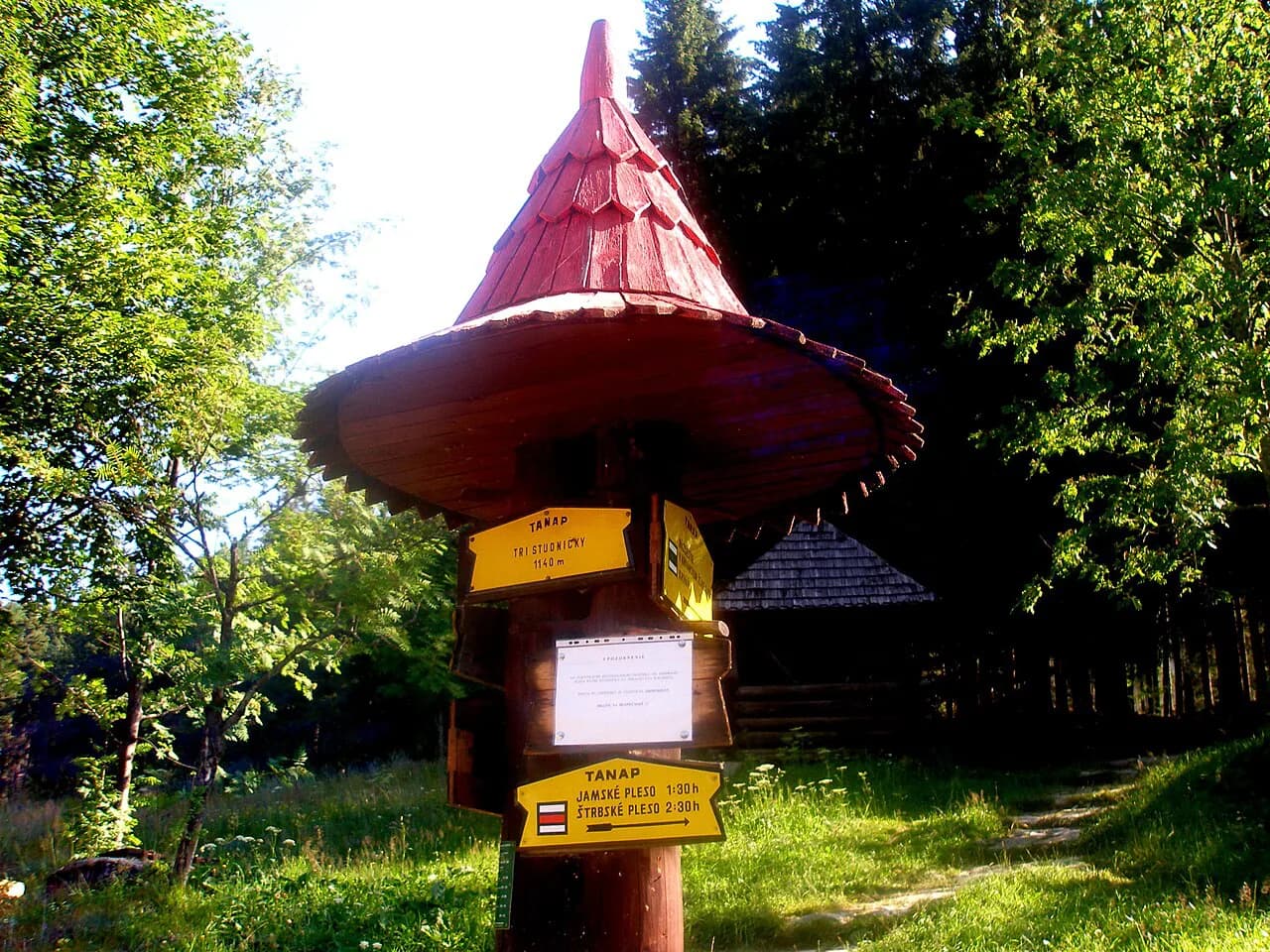
Several marked lines converge on the lake from different directions, so junctions in the forest need attention rather than guesswork. The signs use coloured trail markers, and hikers report that the colour assigned to the Zelene Pleso line has been changed in the past, so follow the named destination on the signposts rather than relying on a remembered colour. A mapping app that mirrors the official sign colours is the simplest backup.
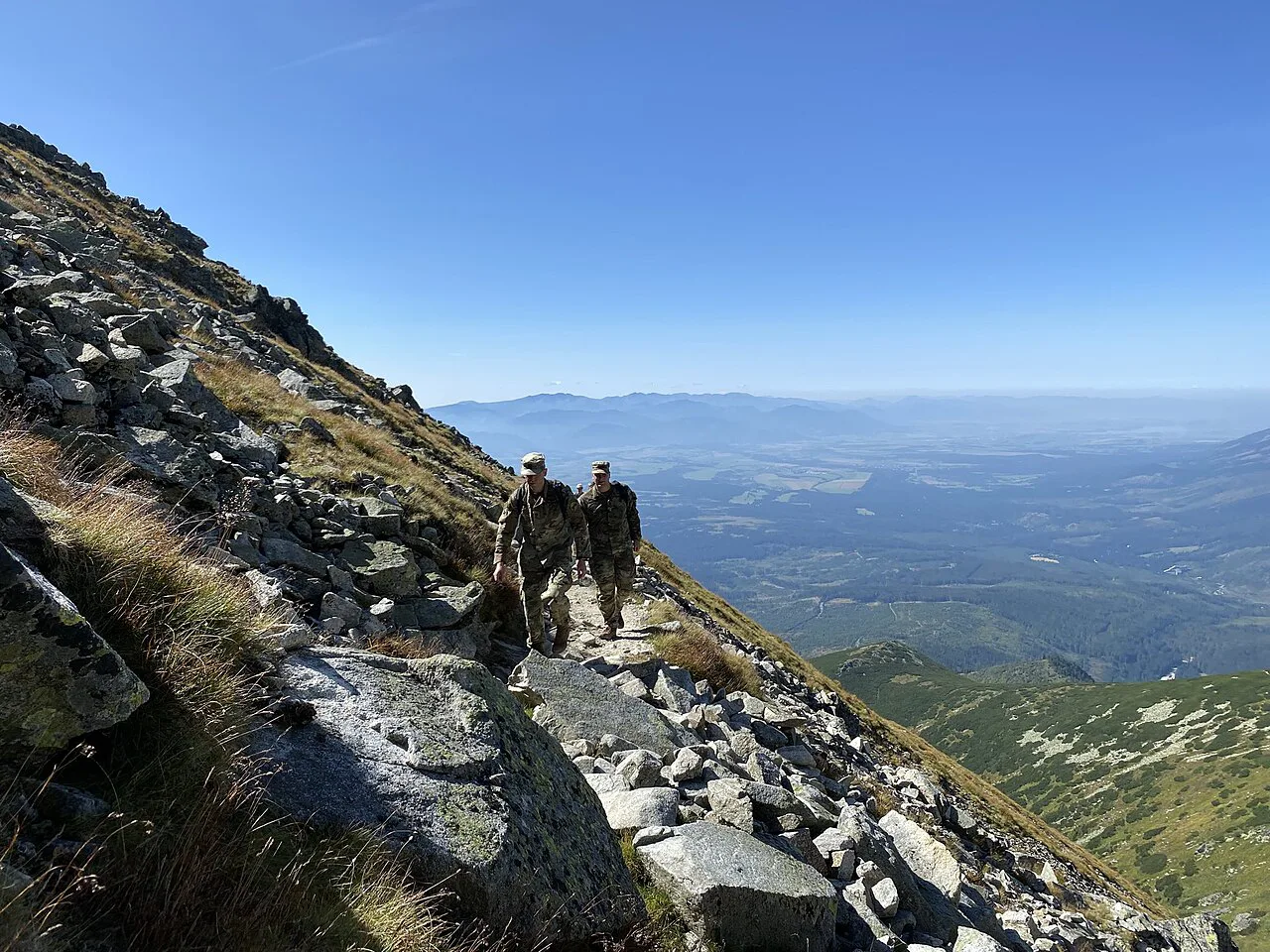
Zelene Pleso cottage
The mountain cottage at the lake serves food and drinks, which makes it the natural midpoint of the day and the only reliable place for a hot meal on the route. Carry enough water from the valley for the climb and descent, and treat any refill at the cottage as a bonus rather than the plan.
Rooms are available at the cottage for people who want to split the walk and stay at the lake. Bring cash in case card payment is not accepted at the counter.
When to go
Summer and early autumn give the most reliable conditions for the forest section and the rocky upper approach, and the lake is at its best on clear days when the peaks are free of cloud. The High Tatras are known for weather that changes quickly, so an early start keeps you ahead of the afternoon build-up on the summit ridges above the lake.
This is one of the busier trails in the range, and a Saturday attracts a steady stream of local and visiting walkers along the forest path. Start early if you want quiet on the climb, and expect the lake shore to fill around midday.
What to carry
Water for the whole route, a packed lunch and snacks are the essentials, because the forest has no reliable supply and the day runs long. Hiking boots with a stiff sole cope better with the stone path than running shoes, and a rain shell belongs in the pack even on a clear morning.
A power bank keeps a phone alive for mapping and for the journey home, and sunscreen matters at the lake, which sits high enough for the sun to bite quickly. Download an offline map before leaving the village so junctions can be checked without signal.
Getting there and staying nearby
Tatranská Lomnica is reached by train or bus from Poprad, which makes it an easy day trip if you base yourself in the town. Staying in the village or another mountain settlement shortens the morning transfer and puts you on the trail earlier.
Poprad is the trade-off base: more restaurants, shops and beds, at the cost of a transfer each morning and evening. A mountain town gives you a shorter commute and quieter evenings; choose based on how many days you have and whether evenings out matter more than early starts. Likewise, if you are weighing up which trails justify the long days, hiking in Tatra Mountains becomes easier to plan once you know which routes suit your fitness and free time.
Following the trail and planning the return
The route is waymarked throughout, and the junctions are where the day can go wrong. Note the name Zelene Pleso on each signpost and check it at every fork rather than walking on autopilot, especially where the forest closes in and the path splits.
If the full distance sounds too much, the range offers plenty of shorter alternatives with similar reward, including easier lake walks from the same valley villages. Those give a lighter day without the long forest approach and suit a rest day between bigger objectives.
A shorter lake day on the same access
Sliezsky Dom, reached from the same Tatranská Lomnica area, is a separate High Tatras hike with its own lake and waterfall, and several hikers rate the two lakes alongside each other. It is a shorter outing than the full Zelene Pleso circuit and a sensible choice if you only have half a day.
Outside the High Tatras, Slovak Paradise National Park offers gorge walks and ladders on a very different character of trail, useful if you are extending a Slovakia trip beyond the mountains. It is a separate region and should be planned as its own day with its own transport.
Plan Your Visit
The Zelene Pleso hike works best as a full day: an early train to Tatranská Lomnica, a steady climb through forest, a long pause at the lake and cottage, and an unhurried descent on the stone path. Carry water and food, wear boots, and keep an eye on the time for the return journey.
If you have only a half day, pick a shorter lake walk in the same valley and save this one for a day when the weather is settled and the light is good on the peaks.
Frequently Asked Questions
How long is the Zelene Pleso hike?
The full out-and-back from Tatranská Lomnica is published at 21.2 km (13.2 mi) with roughly 718 m (2,356 ft) of ascent. Other sources give shorter figures for partial lines to the lake, including about 10 km (6.2 mi) and 12.2 mi (19.6 km) with 2,477 ft (755 m) of gain, so the number depends on your starting point.
How much ascent is there on the Zelene Pleso trail?
Ascent figures range from about 670 m (2,198 ft) on the shorter approach to 718 m (2,356 ft) or 2,477 ft (755 m) for the longer version. The gain is gradual rather than steep, spread across a long forest climb.
Where does the Zelene Pleso hike start?
The route begins at Tatranská Lomnica in the High Tatras. From the railway station, walk north to the main road, cross to the park and follow the marked trail past the parking area into the forest.
Can you get food at Zelene Pleso cottage?
Yes. The mountain cottage beside the lake serves food and drinks, making it the main place to eat on the route. Carry your own water from the valley rather than relying on a refill.
Do you need hiking boots for the Zelene Pleso hike?
Boots are the better choice. Much of the forest path is built on small, uneven stones that are hard on ankles and slow on the descent, and a stiff sole protects your feet over a long day.
How do you reach the Zelene Pleso trailhead without a car?
Take the train or bus from Poprad to Tatranská Lomnica, then walk north through the village to the marked trail. The trailhead is a short walk from the station, and services connect the town with the mountain villages throughout the day.
Sources
Trail notes for your next trip
Optional updates when we add or revise hiking guides.
You might also like
Continue reading
More guides you'll find useful