Pico de las Nieves Hike, Gran Canaria: Route & Access Guide
Plan the Pico de las Nieves hike on Gran Canaria: a 15.2 km out-and-back to the island's high viewpoint, with distance, timing, weather and access notes.
On this page
The Pico de las Nieves hike climbs through the pine forests of Gran Canaria's interior to the island's highest mountain, a 1,949 m (6,395 ft) summit whose upper slopes open onto views across the caldera country and, on clear days, toward the distant peak of Teide. It suits fit hikers with a full day to spare who want sustained ascent and high, open ground rather than scrambling.
The route is an out-and-back, so the descent retraces the climb and the effort is honest and predictable. Plan it as a mountain day at altitude on an island where the weather at 1,900 m (6,200 ft) behaves quite differently from the coast below.
Where the hike starts: trailhead and road access
The walk begins in the high interior of Gran Canaria, in the pine country above Vega de San Mateo and within reach of the Tejeda side road network. You need your own transport or a pre-arranged transfer to reach the start; the trailhead lies high on the island's road system, and the final approach is by road.
If you are staying on the coast, treat the drive up as part of the day and allow time for the winding climb; the gain in altitude is rapid and the temperature drops noticeably. Arriving early leaves a buffer for navigation and weather.
Distance, ascent and walking time
The established route to the summit area is a 15.2 km (9.4 mi) out-and-back that takes around six hours at a steady pace, with a maximum elevation of roughly 1,925 m (6,316 ft) and a difficulty rated moderate to moderately difficult. That figure covers the full round trip, so budget the day rather than an afternoon.
Because the return leg repeats the outward route, the descent is faster than the climb but still demands care on loose, steep sections. Add time for photos and a proper break at the top; the summit area rewards a longer stop than a quick turnaround.
Route description: the climb through pine forest to the summit area
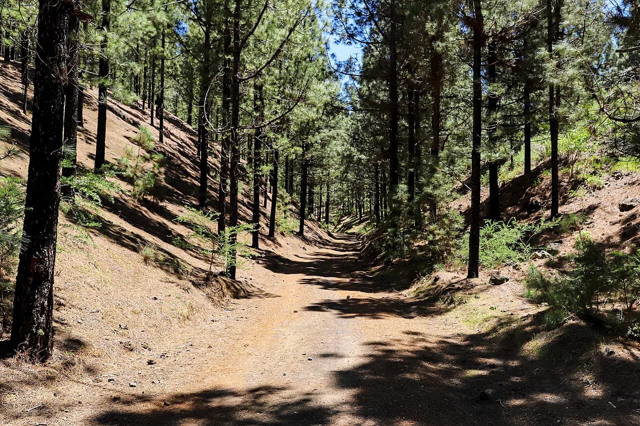
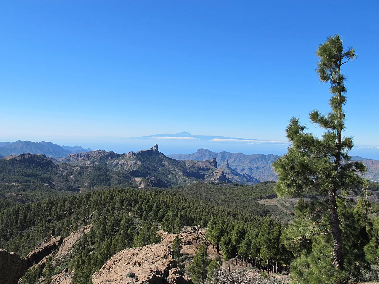
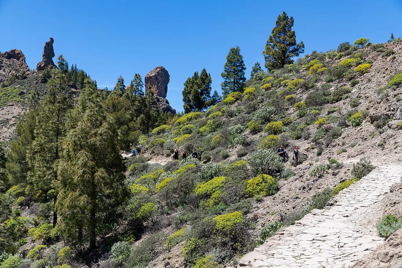
The lower part of the route runs through pine forest, gaining height steadily on a path that is walkable rather than technical. As you climb, the trees thin and the ground opens up, giving the first wide views over the interior ridges toward Roque Nublo and the surrounding peaks.
Higher up, the path breaks out of the forest and traverses open, exposed slopes with little shelter, so wind and sun are the main things to manage. Near the top you reach the broad summit zone with its communications infrastructure and a viewing platform set a short way below the highest ground.
The true summit is fenced inside a military area and the viewing platform sits about 30 m (100 ft) below the high point, which is where most walkers finish. The platform looks south across the island toward Maspalomas on clear days, so the reward comes from the view rather than from standing on the very top.
The summit viewpoint and the fenced military zone
The viewing platform is the practical endpoint of the hike, and it is the place to linger. The summit proper lies inside the fenced military zone, so the platform is where the walk concludes for hikers on the normal route. Plan your turnaround there rather than adding an unsanctioned detour.
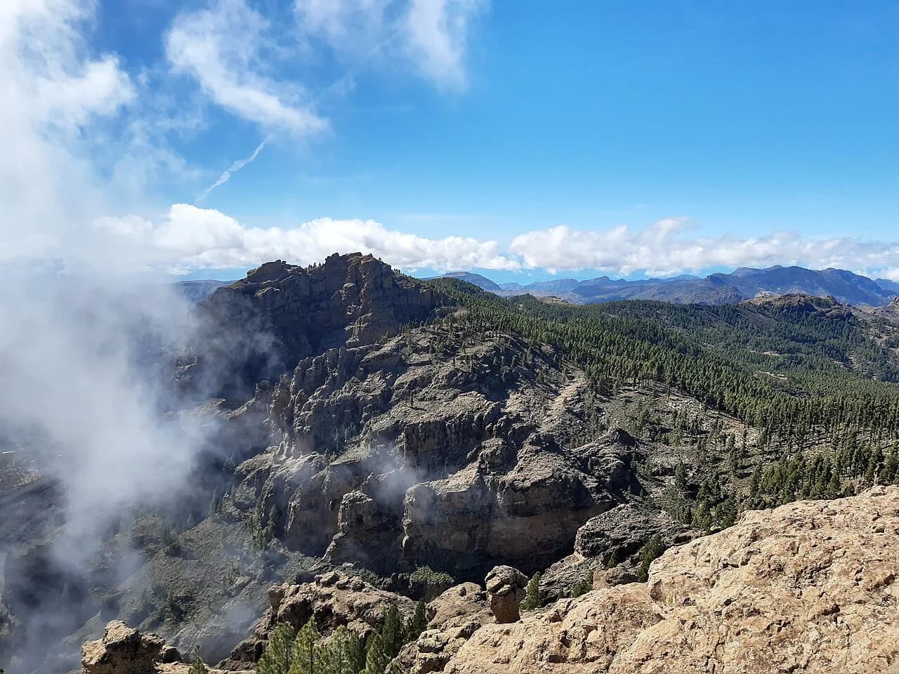
The platform is also the natural place to study the surrounding high country and to pick out Roque Bentayga and the rim of the Caldera de Tejeda. Take a few minutes to identify the landmarks before you descend.
When to go: months, heat, cloud and wind at 1,900 m
At around 1,900 m (6,200 ft), Pico de las Nieves sits well above the coastal resorts and collects much cooler, windier conditions. The altitude is the main planning constraint: cloud can close in quickly, and the wind on the open upper slopes feels far colder than the coast.
Treat the summit as changeable island mountain weather. You can be walking in warm sun in the pine belt and standing in drifting cloud half an hour later, so plan a turnaround time and stick to it if the weather turns.
What to carry on a high, exposed island route
Carry a windproof layer and a warmer mid-layer even when the coast is hot, because the upper slopes are the coldest part of the day. Bring more water than the distance suggests, since the exposed section offers little shade and the descent keeps the sun on you for hours.
The route is long for a day hike, so a headlamp, a charged phone with an offline map, and a basic first-aid kit are worth the weight. Good shoes with grip matter more than boots here; the path is walkable but loose in places.
Getting there without a car: transfers and tour options
Without your own vehicle, reaching the trailhead means arranging a transfer or joining a guided or self-guided walking program that includes transport to the interior. Public transport reaches the towns of the interior, but the trailhead itself is high on the road network.
If you prefer a structured day, organized Gran Canaria walking holidays can put the transport, route and timing together for you, which removes the logistics but fixes the schedule. Independent hikers who want the freedom to linger at the summit should weigh that trade-off carefully.
Pico de las Nieves by car versus on foot
Driving to the summit road and its viewpoint gives you the views without the effort, and the summit area is always open and accessible by road. For travelers short on time, or with children or older companions, the drive is the sensible choice.
Walking the 15.2 km (9.4 mi) out-and-back is the option for hikers who want the pine forest, the steady climb and the earned arrival. It suits fit walkers with a full day and proper kit; the drive suits everyone else.
Nearby hiking bases in Gran Canaria's interior
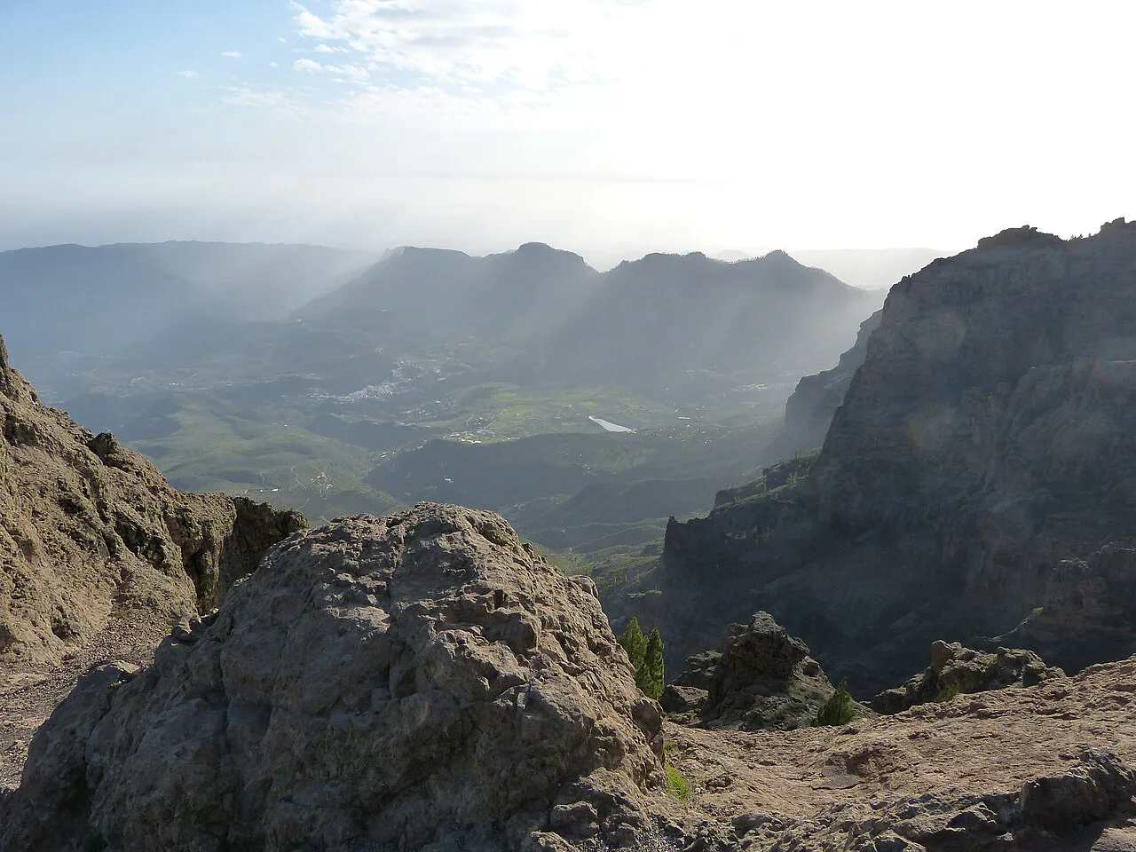
Tejeda is the natural base for the Pico de las Nieves hike and for the Roque Nublo Hike, sitting high in the interior with the caldera country on its doorstep. Staying up here cuts the early drive and puts you on the trails before the day-trippers arrive. If you are weighing up other Canary Island summits, hiking in Tenerife offers a comparable high-mountain day around Teide.
Vega de San Mateo, on the eastern approach to the summit road, is another useful base, and its position makes it a straightforward starting point for the drive up. From either town you can combine the summit with other high viewpoints and formations in the Tejeda area.
Other high viewpoints and formations near the summit
The roads around the summit pass a string of viewpoints, including the Mirador de Pozo de las Nieves near the top and the recreation area at Llanos de la Pez below the pine belt. These make easy add-ons by car and give a sense of the high country if you are not walking the full route.
Roque Nublo and Roque Bentayga are the defining formations of this interior, and both can be admired from the summit area and from the roads around Tejeda. They are a reason to give the interior more than a single day.
Plan Your Visit
The Pico de las Nieves hike delivers Gran Canaria's highest ground on a long but non-technical out-and-back, with the viewing platform just below the fenced summit as the finish. It rewards fit hikers who give it a full day, carry layers for altitude, and accept a changeable mountain forecast.
Decide first whether you are driving or walking, because that choice sets the shape of the day: a short drive to the viewpoint or a six-hour round trip through the pines. Either way, the interior of the island is the reason to come up.
Frequently Asked Questions
How long does it take to climb Pico de las Nieves on foot?
Plan for roughly six hours for the 15.2 km (9.4 mi) out-and-back, which is walkable rather than technical and gains height steadily through the pine belt. Add time for a proper stop at the viewing platform below the fenced summit, and start early enough that you are not descending in fading light.
Can you stand on the very top of Pico de las Nieves?
No. The highest point, at 1,949 m (6,395 ft), is fenced inside a military area, and the served viewing platform sits about 30 m (100 ft) below it. That platform is the practical finish of the walk and the place to take in the southward view toward Maspalomas.
How difficult is the Pico de las Nieves hike?
It is rated moderate to moderately difficult: a long but non-technical out-and-back with sustained ascent and an open, exposed upper section. The main demands are fitness for a full day on your feet and kit for wind, sun and cloud at around 1,900 m (6,200 ft), not scrambling skill.
How do you reach the Pico de las Nieves trailhead?
The trailhead lies high in Gran Canaria's interior, above Vega de San Mateo and within reach of the Tejeda road network, so most hikers drive or arrange a transfer. Organized walking programs that include interior transport remove the logistics but fix your schedule.
Is it worth hiking Pico de las Nieves instead of driving up?
Drive if you want the view with limited time or with children or older companions, since the summit area is accessible by road and always open. Walk the out-and-back if you want the pine forest, the steady climb and the sense of arrival; the trade-off is a full day and a changeable forecast.
Sources
Trail notes for your next trip
Optional updates when we add or revise hiking guides.
You might also like
Continue reading
More guides you'll find useful