Hiking in Gran Canaria Without a Car: Bus & Trail Guide
Plan Gran Canaria hiking without a car: which base villages put trails on foot, how the island bus network works, and when a taxi is worth it.
On this page
Gran Canaria packs volcanic craters, laurel ravines and a 1,949 m (6,394 ft) high point into an island you can cross in a morning, and the walking is concentrated in the green interior rather than the beach strips. Without a car, the whole trip hinges on one decision: sleep in a mountain village where trails start at your door, or in a coastal resort and spend hours each way on the road. This guide sorts the island's best-known walks by how easily they fit a car-free week, and it is worth setting it beside the same car-free calculations in hiking in Tenerife.
Why the interior is where car-free hiking works
The southern resorts of Playa del Inglés and Maspalomas and the capital's Las Canteras beach absorbed most of the island's tourist development, while the mountainous center kept its volcanic landscapes and gorge villages largely untouched. That is precisely where the trails are, and it is why a car-free plan built around the interior beats one built around the coast.
Base yourself in Tejeda or at Cruz de Tejeda and the Roque Nublo plateau, the Caldera de Tejeda rim and the Artenara ridge all sit within a short drive or a long walk. Base yourself in Maspalomas and the same trails become full days of bus connections, with the last return often the part you cannot control. The trade-off is simple: fewer restaurants and hotels up high, far more trail time.
Choosing a base: Tejeda, Cruz de Tejeda or the coast
Tejeda sits in the heart of the Caldera de Tejeda, one of the most photographed villages in Spain, with guesthouses on a pedestrian street and restaurants within a few minutes' walk. Cruz de Tejeda, on the rim above, is a road junction with mountain hotels and is the natural starting point for the Artenara crest walk. Either puts you on the trails without turning an engine.
Arucas in the north and Santa Lucía de Tirajana in the southeast are the other useful bases. Arucas is a short hop from the Caldera de Bandama and the Barranco de Azuaje, while Santa Lucía is the trailhead village for the Fortaleza de Ansite walk. Southern beach resorts only make sense if you accept long transfers and plan around fewer, bigger days.
How the island bus network fits hiking days
Gran Canaria's public buses run on a hub-and-spoke pattern: interurban services radiate from Las Palmas and a few southern towns, with mountain villages served by thinner, less frequent schedules. Treat any long mountain leg as a morning task and build the hiking day around a single reliable departure. Buy tickets on board or with the island's stored-value card, and keep small change for the rare service that does not take cards.
The practical rule for car-free walking is to favor loops that begin and end at a village the buses actually serve. Ridge and ravine routes that finish somewhere else need a taxi at the end or a second bus leg, and a short taxi is often cheaper in time than a long wait. Hikers who prefer everything arranged can compare self-guided formats that bundle accommodation, route notes and transfers, such as these Gran Canaria walking holidays, against building the week themselves.
Roque Nublo from Llanos de La Pez
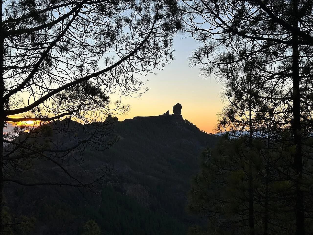
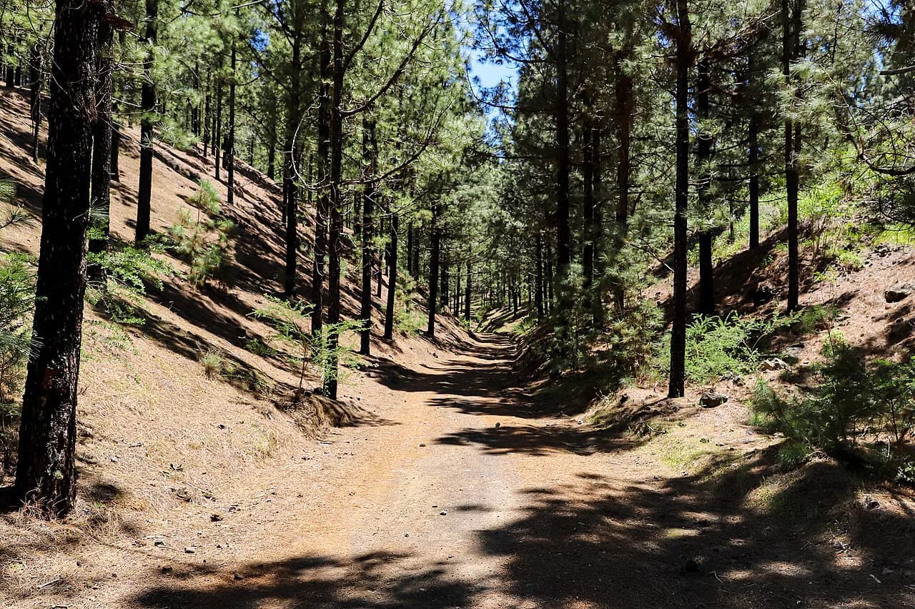
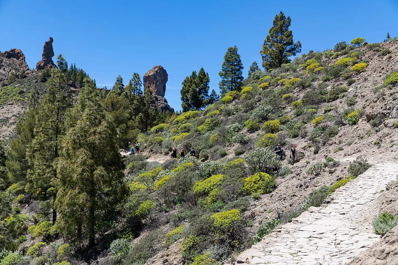
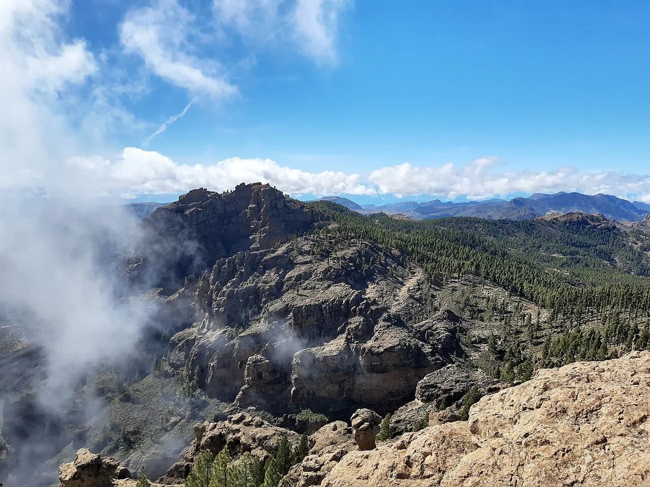
Roque Nublo is the island's icon, a monolith balanced on a plateau at around 1,800 m (5,906 ft), and the classic car-free approach starts at Llanos de La Pez. From there the published circuit runs 13.6 km (8.5 miles) with about 737 m (2,418 ft) of ascent and 727 m of descent, climbing through pine forest to the Riscos de Tirajana ridge. Near La Foguera the view opens to Roque Nublo, the Caldera de Tejeda and the Roque Bentayga before the final pull to the rock.
Llanos de La Pez is a roadside picnic area on the Cruz de Tejeda to Tejeda road, so a bus toward the interior can drop you on the way, and a taxi from Tejeda is a short, bookable hop. Plan the climb for the morning; afternoon cloud and storms build quickly on the plateau. For step-by-step detail on the route, see this guide to the Roque Nublo Hike, Gran Canaria.
Roque Nublo deserves its place at the center of any hiking itinerary on the island, and the plateau gives you a 360-degree panorama that takes in Tenerife, La Gomera and on clear days El Hierro.
The Caldera de Tejeda rim and the Artenara ridge
The Artenara crest walk is the best one-way ridge day in the interior: 7.7 km (4.8 miles) with 520 m (1,706 ft) of ascent and a hefty 830 m of descent, starting with a climb to the crest of the Caldera de Tejeda and dropping through ravines and cave settlements toward Artenara. The route passes the Caves of Caballero and the Cuevas de Los Candiles, troglodyte sites recognized by UNESCO, and the descent gives you views over the caldera and toward Teide on Tenerife.
Artenara, at about 1,270 m (4,167 ft), is the highest town on the island, and its streets of cave houses make a satisfying finish. Because the walk ends away from where it starts, the car-free version needs a collected taxi or a bus back toward Cruz de Tejeda; arrange it before you set out rather than at the end of a long descent. Some sections are exposed and the loose volcanic stone is slippery, so poles help.
Barranco de Guayadeque from Caldera de Los Marteles
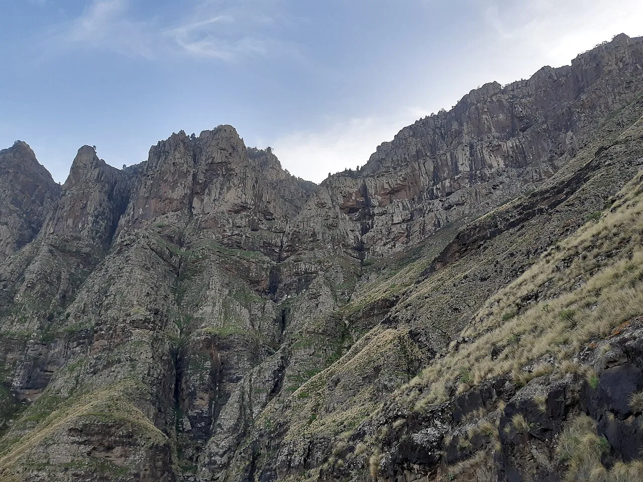
The Guayadeque gorge walk is long and varied: 12.7 km (7.9 miles) with 618 m (2,028 ft) of ascent and 598 m of descent, climbing through pine forest from the extinct crater of Caldera de Los Marteles to Cruz del Socorro before descending into the gorge. Cacti, palm groves and terraced fields line the way, and you pass cave houses that are still lived in. The giant lizard of Gran Canaria lives here; you are unlikely to see one, which is what makes a sighting memorable.
The crater of Los Marteles is about 20 minutes by road from Cruz de Tejeda, which makes it an easy morning taxi from a mountain base. The walk finishes in the lower valley near Montaña de Las Tierras and Cueva Bermeja, where cave taverns serve food, so sort a pickup there or walk out to the village before the light goes. Without a car, this is the clearest case for a paid transfer at one end.
Caldera de Bandama circuit from Las Palmas
The Bandama crater rim is the easiest big-view day from the capital: 6.3 km (3.9 miles) with 529 m (1,736 ft) of ascent and 541 m of descent around a crater about 1,000 m (3,281 ft) wide in the vineyards of the Santa Brígida area. On clear days you can see Las Palmas and even Fuerteventura from the rim. The path drops to the crater floor past old caves and abandoned houses before climbing back to the start.
From Las Palmas, take a bus toward Santa Brígida or Bandama and walk in from the village; the crater is close enough that the approach is routine. The Jardín Canario, a botanical garden in the Barranco de Santa Brígida, makes a good add-on. The day suits a rest day or an arrival day when you don't want to commit to mountain logistics.
Barranco de Azuaje from Firgas
Firgas, the smallest municipality on the island, sits above the Barranco de Azuaje, and the published circular walk runs 12.8 km (8 miles) with 676 m (2,218 ft) of ascent and the same descent. You drop from the village into a ravine of springs, waterfalls and dense laurel forest with bamboo, willows and ferns, then climb back out. It is the greenest, dampest walk in this selection and a good counterpoint to the dry interior.
Because Firgas is a village with a bus connection to the northern towns and Las Palmas, this is one of the easiest walks to do without a car: you arrive, you walk the loop, and you return from the same place. Expect wet, slippery stone near the streams even in dry weather.
Pico de las Nieves: is the high point realistic?
Pico de las Nieves, at 1,949 m (6,394 ft) the island's highest point, is usually combined with a longer day on the Tejeda plateau. Its summit road and the network of paths below it are most easily reached from the Cruz de Tejeda or Tejeda side. For a car-free day, treat the summit as a leg of a longer walk on the plateau rather than a standalone objective, and count the ascent before you commit.
The same figure applies to the views you get on the Roque Nublo circuit; the plateau puts the whole island in front of you, which is why many hikers skip the summit. Detailed route and access notes are in the Pico de las Nieves Hike, Gran Canaria.
Santa Lucía, El Ingenio and La Fortaleza de Ansite
The Ansite walk starts in Santa Lucía de Tirajana and descends through Canarian palm groves to El Ingenio and La Sorrueda, then continues to La Fortaleza, a fortified settlement carved out of the rock and used in the 15th-century resistance. The circuit is 10.7 km (6.6 miles) with 289 m (948 ft) of ascent and 279 m of descent, and the return leg climbs through olive trees back to Santa Lucía.
Santa Lucía is served from the southern side of the island, so this walk pairs naturally with a stay in the southeast rather than in Tejeda. The climb is gentle and the finish returns to your start, which makes it one of the friendliest car-free days in this list. Tejeda, with its almond cookies and white houses, is a good place to unwind afterward if you base there.
Taxis and transfers for one-way mountain walks
Two of the walks above, the Artenara crest and the Guayadeque descent, finish far from where they start, and a third, the Llanos de La Pez approach, needs a lift to the trailhead. A pre-booked local taxi for those short legs is the simplest car-free answer, and mountain hotels will usually arrange one. Ask for the pickup at the time you expect to finish, and add a margin for slow descents on loose stone.
Do not build a plan that depends on a late bus from a remote trailhead; the timetable thins out in the evening and a missed connection in the mountains is a long wait. If you would rather hand the schedule to someone else, self-guided weeks on the Canary Islands cover accommodation and route notes, with luggage moved between hotels, and you can check whether a rental car comes with the format before booking.
When to go and what to pack
Spring and autumn give the most comfortable temperatures in the interior, while summer heat on the south-facing slopes and winter cold on the plateau both demand appropriate clothing. Weather in the mountains can swing from hot to cold within a day, so carry layers that you can add and remove, and treat afternoon cloud on the high ground as the signal to be off exposed ridges.
Bring sturdy boots with good grip, poles for the loose volcanic stone, sun protection and a cap, a wind jacket, and enough food and water for the whole day, as mountain villages have few shops and the routes pass few services. On the Bandama-to-Azuaje circuit the stone near streams stays slick year-round, so a shoe with a proper tread matters more than the brand.
A sample car-free week
Start in Las Palmas or Santa Brígida and spend a day on the Bandama crater circuit, using the city bus network for the approach. Move up to Tejeda midweek and use it as a base for the Roque Nublo circuit from Llanos de La Pez and the Artenara ridge, arranging a taxi for the ridge finish. Finish with a bus day in the north for the Firgas loop or a southern day at Santa Lucía; the contrast between the laurel forest, the caldera and the palm groves is what makes a week on this island feel varied.
Plan Your Visit
A car-free week in Gran Canaria works when you pick a mountain base, keep your big walks to loops or one-way days with a booked taxi, and treat bus timetables as part of the route plan. Tejeda and Cruz de Tejeda give you the best trails at your door, while Las Palmas only makes sense for the Bandama day. Pick your base first, then fit the walks around it.
Frequently Asked Questions
Can you hike Gran Canaria without a car?
Yes, if you base yourself in a mountain village rather than a coastal resort. Tejeda and Cruz de Tejeda put several of the best walks within a short walk or taxi ride, and public buses serve the villages and the capital's surroundings. The long one-way walks, such as the Artenara ridge and the Guayadeque descent, need a booked taxi at the finish.
Which town is the best car-free base for hiking in Gran Canaria?
Tejeda is the strongest choice: it sits inside the Caldera de Tejeda, has guesthouses and restaurants on its doorstep, and is close to the Roque Nublo plateau and the Artenara ridge. Cruz de Tejeda, on the rim above, suits the ridge walk in particular. Arucas and Santa Lucía de Tirajana work well for the northern and southeastern walks.
Is there a bus to Roque Nublo?
The classic Roque Nublo circuit starts at Llanos de La Pez on the Cruz de Tejeda to Tejeda road, where a bus toward the interior can drop you. A short taxi from Tejeda is the other practical approach. The published circuit is 13.6 km with about 737 m of ascent, so plan the climb for the morning before the cloud builds.
How long is the Caldera de Bandama walk?
The crater circuit is 6.3 km with 529 m of ascent and 541 m of descent, dropping to the crater floor past old caves and abandoned houses. It is the easiest big-view day from Las Palmas and suits an arrival day or a rest day when you do not want a long transfer.
Can you climb Pico de las Nieves by public transport?
Treat the summit as a leg of a longer plateau walk rather than a standalone bus objective, because the road and trail network below the summit is best reached from the Tejeda or Cruz de Tejeda side. Check the bus timetable to the plateau and count the ascent before committing.
Do you need a car in the Canary Islands for hiking?
Not if you choose your base carefully. Village-to-village loops and short taxi transfers cover most of Gran Canaria's best walks. A car mainly buys flexibility on one-way mountain routes; a pre-booked taxi usually does the same job for a single leg.
What is the prettiest town in Gran Canaria for walkers?
Tejeda, in the heart of the Caldera de Tejeda, is the standout, with white houses, a pedestrian center and trails in every direction. Artenara, the island's highest town at about 1,270 m, is a close second for its cave houses and ridge views.
Sources
Trail notes for your next trip
Optional updates when we add or revise hiking guides.
You might also like
Continue reading
More guides you'll find useful