Gran Canaria Walking Holidays: Guided vs Self-Guided Trips
Compare guided and self-guided Gran Canaria walking holidays: daily distances, ascent and terrain, bases from Agaete to Tejeda, transfers and luggage moves.
On this page
A walking holiday on Gran Canaria trades the beach resorts for pine forest, a volcanic caldera rim and a green north-west coast where banana and coffee plantations fill the valleys. The island suits hikers who want mountain days in winter sun without committing to high-altitude snow, and it rewards anyone willing to link several of its landscapes in one week.
The real choice is between two formats. A center-based guided week gives you two route options each walking day and a leader making the decisions, while a self-guided point-to-point trip moves you from the south-east to the north-west with route notes and your luggage carried ahead. Both can be excellent; they ask different things of your fitness and your confidence with a map.
Walking geography: where the tours go
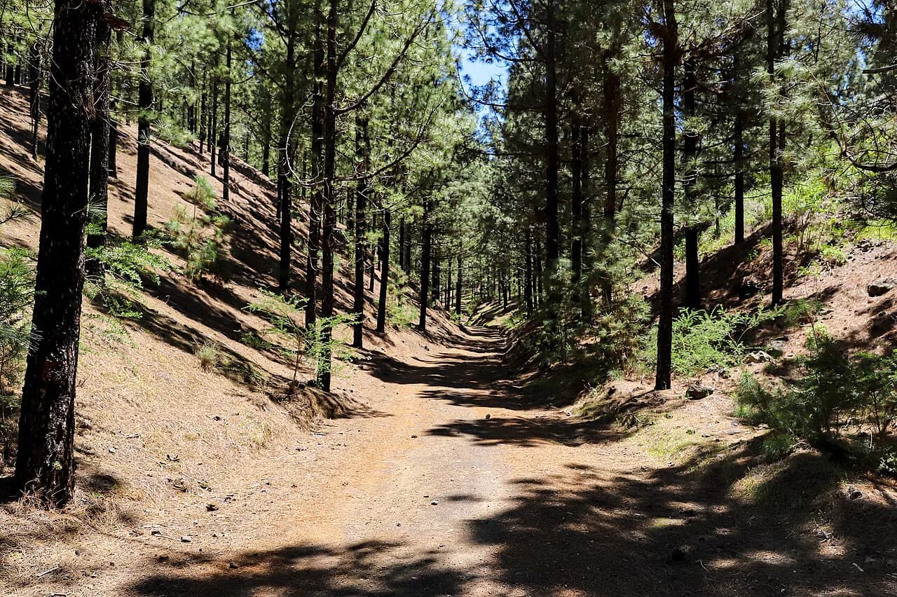
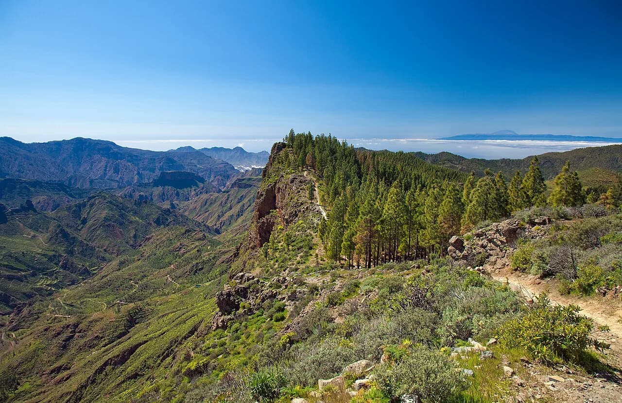
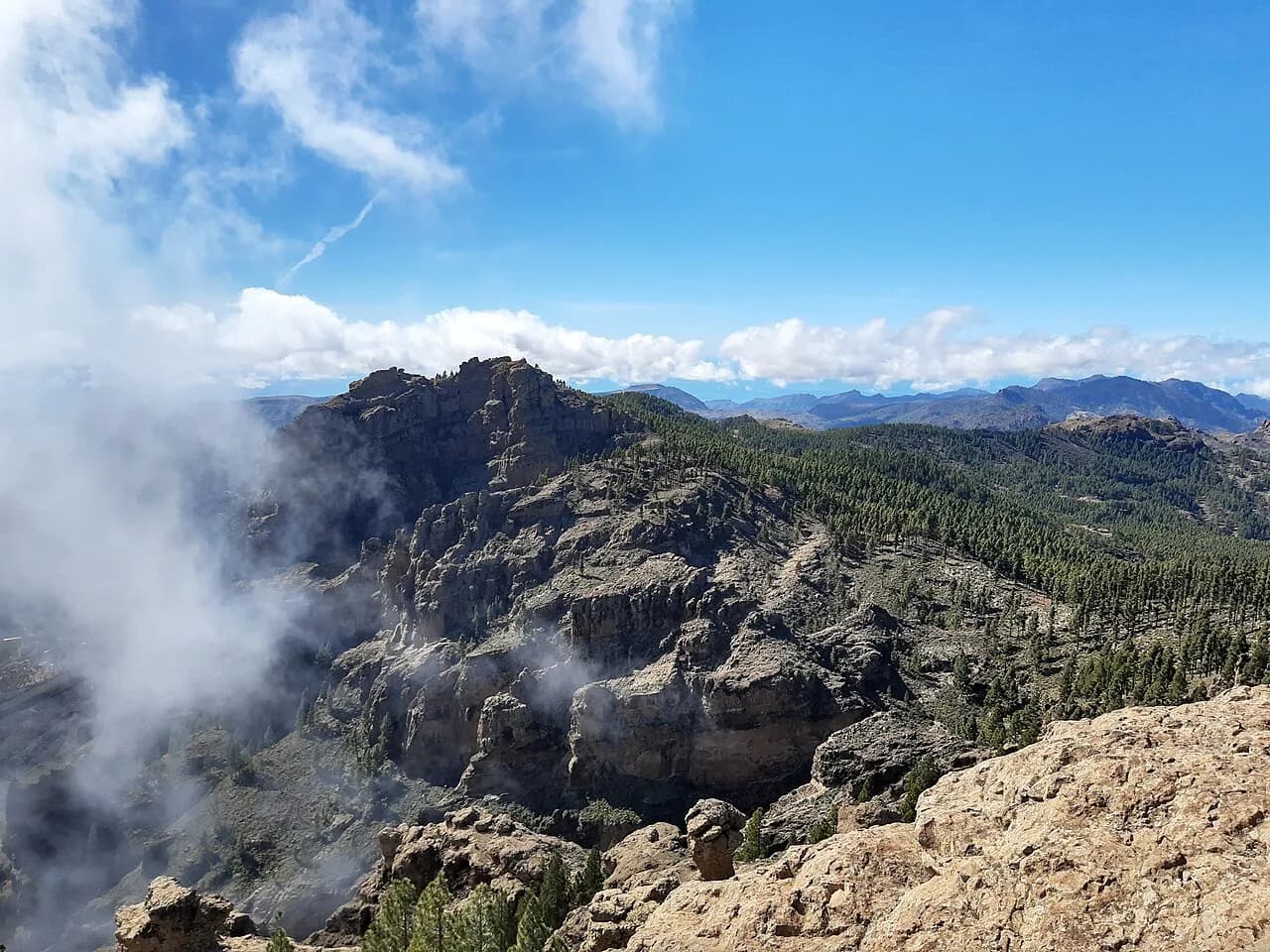
Almost every Gran Canaria walking itinerary works the same three zones. The central mountains hold the high ground around Pico de las Nieves and the Roque Nublo Rural Park, the Caldera de Tejeda cuts a dramatic canyon across the middle of the island, and the north-west around Agaete and Tamadaba Natural Park drops through pine and scrub to the coast. Much of the central high ground lies within a UNESCO Biosphere Reserve, which is why the trails feel wilder than the island's size suggests.
Distances are short on the map but rarely easy. Trails zigzag up and down barrancos (deep, narrow valleys), so a 10-kilometre (6-mile) day can carry several hundred metres of climbing in short, steep bursts. On clear days the cone of Mount Teide on Tenerife floats on the horizon roughly 70 miles (110 km) away, a view rather than a hike on any Gran Canaria itinerary.
Guided group walking holidays: bases, two walks a day, walking grades
A typical guided week is center-based, with seven nights in one hotel and a choice of two guided walks on each walking day plus one free day. The format suits hikers who would rather not plan transfers or read a route description at every junction, and who like the option of a gentler or a harder route each morning.
Walking grades make the difference explicit. On the HF Holidays scale, a gentle day runs about 5–6 miles (8–10 km) with roughly 650 ft (200 m) of ascent, while the most active moderate grade asks for 11–12 miles (18–19 km) and around 1,800 ft (560 m) of ascent, with short steep sections through the day. Note that HF Holidays expanded its grade scale from 6 to 10 points in 2026, so compare routes by distance and ascent rather than by grade number alone.
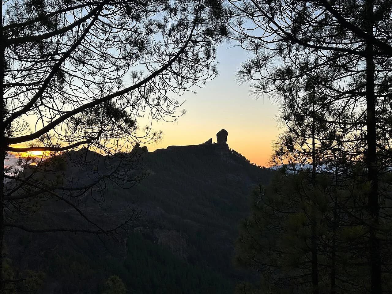
The published itinerary shows what a day looks like in practice. One walking day pairs a 7.5 km (4.7-mile) laurel-forest route through Finca de Osorio with a 8.5 km (5.3-mile) option over Pico de Rayo, a small volcano at 968 m (3,176 ft); another climbs toward Roque Nublo at about 5,800 ft before a balcony path around the Caldera de Tejeda rim. Read those two options side by side and you can judge which grade matches your usual weekend.
Self-guided point-to-point walking: stage lengths, ascent and terrain
A self-guided traverse strings the island together over seven walking days, starting in the historic town of Agüimes in the south-east and finishing on the north-west coast. Inntravel describes days of typically 7–20 km with significant ascent and descent over rugged terrain, graded moderate-to-challenging, with pine forest, ravines and mountain paths. A head for heights matters on the ridge and balcony sections.
The hardest stage is not the longest. The crossing from Cruz de Tejeda to Agaete covers 16 km (10 miles) in about six hours with 400 m (1,310 ft) of ascent and 1,520 m (4,990 ft) of descent, which punishes knees far more than lungs. Earlier in the week, the transfer-supported day from Pico de las Nieves to Cruz de Tejeda runs 15 km (9.3 miles) over roughly 5.5 hours with 670 m up and 1,120 m down. Budget your strongest day for the big descents, not the biggest climb.
Shorter stages fill the rest of the week: a 9.5 km (5.9-mile) route into the Barranco de las Vacas canyon in about three hours, or a longer 16.5 km (10.3-mile) Guayadeque valley day of some six hours. From Tejeda you can choose a 14 km out-and-back to the cave village of Artenara or an 8.5 km circuit below Roque Bentayga. Luggage is moved between hotels and route notes and GPS navigation are part of the package.
Day-by-day demands: what recent itineraries ask of you
Look at any itinerary's distance and ascent columns together before deciding. A day with more descent than ascent means a knee-loaded walk, common on Gran Canaria where trails drop from the central plateau to the coast; a day with roughly equal figures is usually a ridge or out-and-back route. If you train on flat ground, add hill descents to your preparation, not just climbs.
Guided itineraries often move you by vehicle to a start point, so a moderate day may still begin at 1,500 m or more with little warm-up. Self-guided trips rely on scheduled buses and pre-arranged transfers on specific days, which shapes your start times. Either way, expect early starts on transfer days and treat the free day as recovery rather than a bonus hike.
Bases that suit which trips: Agaete, Tejeda, Agüimes
Agaete on the north-west coast works as a base for Tamadaba Natural Park, the Agaete valley and the coffee plantation at San Pedro, and it keeps you away from the southern resort crowds. It is the natural finishing point for a traverse and a sound base for a guided week, since the hotel sits in a quiet residential seafront area.
Tejeda and nearby Cruz de Tejeda put you on the caldera rim, with the Artenara ridge walk and the Roque Nublo paths from the door. The Parador at Cruz de Tejeda overlooks the central canyon, which means sunset views and a short climb to bed. If you want the classic summit viewpoints without long transfers, base here.
Agüimes in the south-east suits the first nights of a traverse, with cobbled streets and easy access to Temisas, the Barranco de las Vacas and the Guayadeque valley. It is quieter and more traditional than the coastal resorts, and its position makes the bus ride to the trailheads short.
Lifts, buses and transfers to trailheads
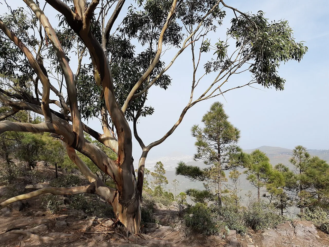
Gran Canaria has no lift network serving the main walking trails, so road transfers and local buses do the work. Guided holidays normally include all in-destination transport, with the leader moving the group to each start point, while self-guided trips list transfers on specific days, such as the rides to Pico de las Nieves and Artenara. Check exactly which days include a transfer before you choose a format.
If you are building your own trip, plan around Las Palmas airport and the island's bus routes without worrying that a car is essential. Buses connect the main towns, but mountain villages see few services, so match your walking days to the timetable. Hiking in Gran Canaria without a car is feasible if you base in two or three places instead of moving daily.
Accommodation and meals on walking holidays
Guided weeks are usually half board, with breakfast and dinner at the hotel and packed lunches bought locally or eaten in village cafes. Self-guided traverses vary more: one published trip includes seven breakfasts, three dinners and two picnics, leaving you to find lunch and some dinners in towns where the choice is good but kitchen hours can be late. Read the meal list carefully, because it shapes your daily budget and your evening routine.
Accommodation on a traverse ranges from rural hotels in Agüimes to a parador on the caldera rim and a small hotel in Agaete, each with a different character. On a guided week you stay put, which means unpacking once and no daily repacking. That single base is the main comfort advantage of the guided format.
When to go: winter sun versus spring and autumn
Winter is the island's walking season. Daytime maxima average around 17–20°C from January to April, the central mountains run cooler, and snow is possible only above roughly 1,400 m on the odd winter day. Guided departures cluster in November and January to March, which tells you when HF Holidays, Inntravel and Walks Worldwide judge the weather most reliable.
Spring and autumn bring warmer days and a greener island, with more rain in the north than the south. Summer heat makes long descents uncomfortable, so if you walk between June and September, start early and keep the big descent days short. The high central ground stays the most comfortable option in any warm month.
Packing and terrain: ravines, ridge paths and exposure
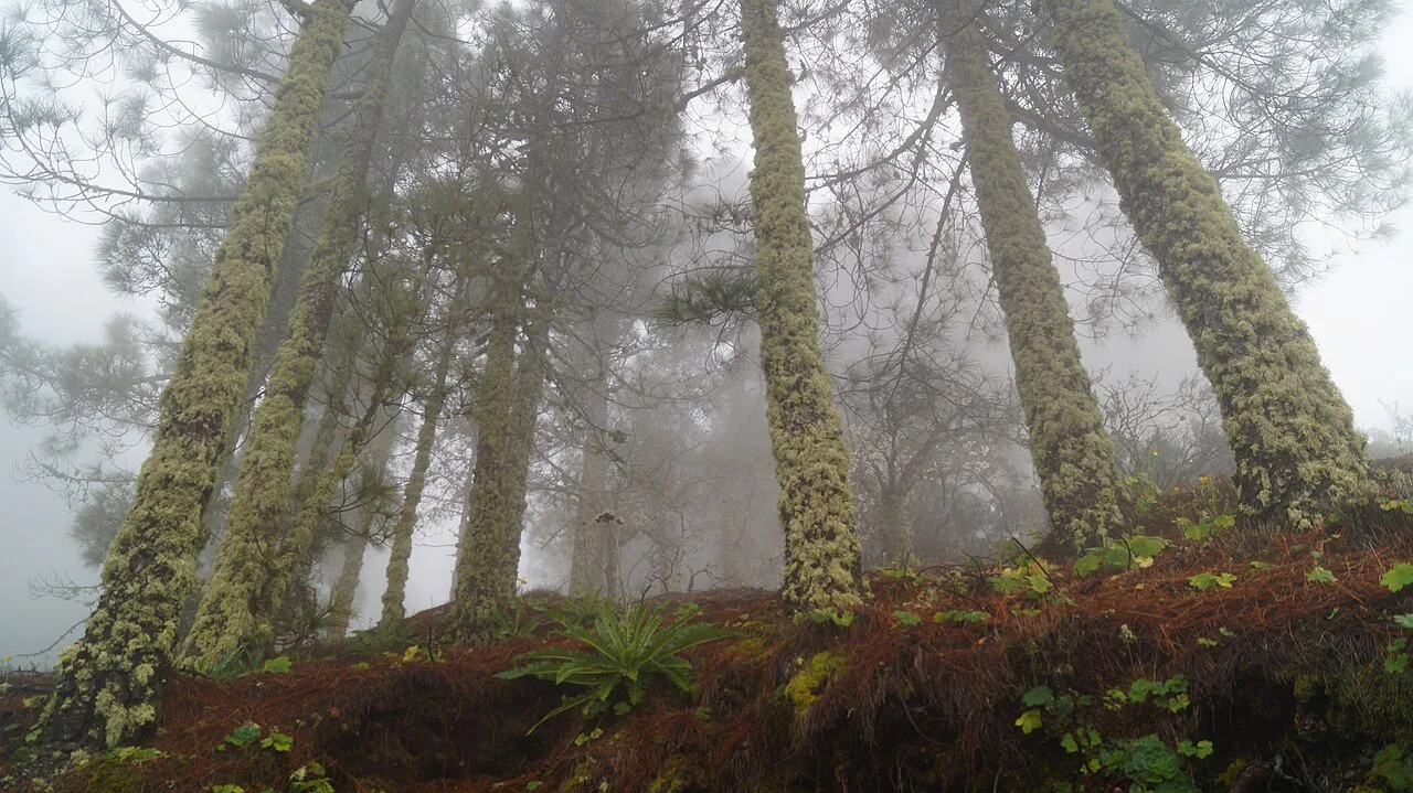
Pack for three things at once: sun, wind and cold at altitude. Two litres of water, high-factor sunscreen, a waterproof jacket and trousers, and an insulated layer cover most days, and walking poles earn their weight on the long descents from the caldera rim.
Ridge and balcony paths are the island's signature terrain, and some sections run close to drops with loose footing. Carry a map or GPS, take the exposed passages steadily, and turn back if afternoon cloud builds over the high ground. Coastal paths near Puerto de las Nieves are rocky rather than tidal, so tides rarely dictate timing here.
Guided versus self-guided: decision table
Choose a guided week if you want two route options a day, a leader handling navigation and weather calls, one hotel for the week, and no responsibility for transfers. Choose self-guided if you prefer your own pace, a route that crosses the island from south-east to north-west, and the satisfaction of linking stages yourself. Cost is a secondary matter; both formats price by season, so request a quote for your dates rather than relying on a brochure figure.
A middle path works for many hikers: book a self-guided trip with luggage transfer and GPS notes for the navigation, then add a guided day for the most exposed ridge. That gives you the traverse's variety without spending a whole week in a group.
Who should not book a Gran Canaria walking holiday
Skip the self-guided traverse if you dislike long descents or are not confident following a route description on rocky ground; the Cruz de Tejeda to Agaete day descends more than 1,500 m and will find out any weakness in your knees. Skip the guided moderate grade if 18 km days with steep sections sound like a stretch, and ask for the gentle option instead.
Anyone expecting flat coastal strolls should look elsewhere on the island or choose a short break built around Puerto de las Nieves. Gran Canaria's walking is vertical, volcanic and often rough underfoot, and the rewards come with real climbing.
Plan Your Visit
Start by matching a format to your habits: a center-based guided week in Agaete if you want decisions made for you, or a south-to-north self-guided traverse if you want the island's full range in seven days. Then check each day's distance and descent, book your base in Tejeda or Agaete, and confirm transfer days and meal arrangements with the operator before you commit.
For the classic summit day, read the route notes for the Roque Nublo hike and add it to whichever format you choose. If you like the Canary Islands formula, compare Mallorca walking holidays and Tenerife walking holidays for a second winter trip with a different landscape.
Frequently Asked Questions
Which is the best Canary Island for walking?
Gran Canaria offers the widest variety within short distances: pine forest, a volcanic caldera rim, cave villages and a green north-west coast, all reachable in a week. Tenerife has higher mountains and Teide National Park, and La Gomera is quieter and steeper. Pick Gran Canaria if you want varied terrain and manageable stage lengths in winter.
How many days are enough for a Gran Canaria walking holiday?
Seven walking days cover the island's three zones comfortably, with one free day in a center-based week or seven stages on a traverse. Five days works if you base in one place and focus on the central mountains. Fewer than four days means choosing one area, usually Tejeda and the caldera rim.
Are Gran Canaria walking holidays suitable for beginners?
Yes, if you choose the gentle grade: days of about 8–10 km with around 200 m of ascent on well-trodden paths suit regular walkers new to mountain terrain. The moderate grade and self-guided traverses involve long descents and rough footing, so build up hill walking first.
What is the best time of year for a walking holiday in Gran Canaria?
Winter, roughly November to March, brings daytime temperatures around 17–20°C and the most reliable walking weather, which is why guided departures concentrate then. Spring and autumn are greener and warmer, while summer heat makes long descents uncomfortable unless you start early.
Do self-guided Gran Canaria walking holidays include luggage transfer?
On the point-to-point trips described here, yes: luggage is moved between hotels and you walk with a day pack. Check the inclusions list for your specific trip, because transfers to trailheads may only run on certain days and meals vary between operators.
Sources
Trail notes for your next trip
Optional updates when we add or revise hiking guides.
You might also like
Continue reading
More guides you'll find useful