Schynige Platte Hike: Panorama Trail Distance, Ascent and Access
Plan the Schynige Platte Panorama Trail above Interlaken: funicular access, distance, ascent, walking time and the route to Oberberghorn or First.
On this page
The Schynige Platte ridge gives you two hikes in one setting: a compact panorama circuit around Oberberghorn that almost any reasonably fit walker can finish in a morning, and a longer high-level traverse toward First for hikers with a full day and steady feet. Both start from the same mountain station above Wilderswil, with the Eiger, Mönch and Jungfrau and the two lakes below as the constant backdrop. This guide helps you pick the version that matches your time, fitness and the season.
What the Schynige Platte ridge offers and who the hike suits
Schynige Platte sits on a broad shoulder of the Bernese Oberland between the Lake Thun and Lake Brienz valleys, and the ridge trail stays high once you are up there. The short circuit is the right choice if you want big views without a long day: it stays close to the station area and the Oberberghorn viewpoint, so you can bail out easily if weather turns. The full traverse to First suits hikers who are comfortable on a sustained high route and who have arranged a return from the Grindelwald side.
For a wider choice of trails from the same Interlaken base, the hiking in interlaken area covers everything from lakeside paths to summit routes, and it is worth reading before you commit your days. If you want a shorter viewpoint hike on another day, the Harder Kulm panorama ridge above Interlaken town is a good contrast.
Funicular to Schynige Platte: station, season and how to reach Wilderswil
The practical trailhead is the Schynige Platte mountain station, reached by a historic cog railway from Wilderswil. Wilderswil itself sits on the Interlaken–Lauterbrunnen rail line, so the usual pattern is a train to Wilderswil and a change onto the mountain railway; allow margin for the connection and buy the through journey where possible.
The railway runs seasonally, not year-round, and the exact first and last days change with snow and maintenance. Jungfraubahn, which operates the Schynige Platte railway, publishes current operating dates and the day's first and last departures on its own site, so check those before you build the rest of your day around the train. Fares and any rail-pass coverage also come from Jungfraubahn rather than from a hiking page, so price the trip at the ticket desk or on the railway's site.
Trailhead and facilities at the top station
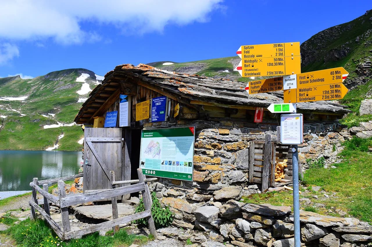
At the top station you step out at roughly 2,000 m (about 6,560 ft) into open alpine terrain, with the trail signs, the station buildings and the start of the panorama path all within a couple of minutes of the platform. The alpine garden and the main signed junctions are close by, which makes it easy to orient yourself before setting off. Because the ridge is exposed once you leave the station area, treat the top station as your last reliable shelter and water stop for the day.
Distance, ascent, descent and walking time
Two sets of route-planning figures are useful, and they describe different hikes. The short panorama circuit is listed at about 5.6 km (3.5 mi) with around 150 m (490 ft) of ascent and descent, taking roughly two hours at an easy pace. The longer traverse from Schynige Platte toward First is commonly planned at around 16 km (10 mi) with about 800 m (2,600 ft) of climbing and a walking time of six to seven hours, and forum threads on the route also put the Schynige Platte to First day at six to seven hours including photo stops.
Those figures are route-planning numbers from hiking sites and community route pages rather than official park measurements, so use them to compare options, not to time your train to the minute. Add time for the Oberberghorn viewpoint, for photos at the ridge and for any stops, and subtract an hour if you are a fast, unstopping walker. If you are unsure which version fits, plan the circuit first and only commit to the traverse once you have seen the weather on the ridge.
Route description: Schynige Platte to Oberberghorn and the ridge
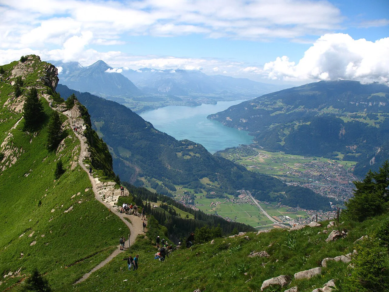
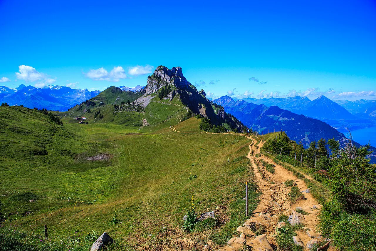
From the top station, follow the signed panorama path east and south toward Oberberghorn, where the trail runs along a grassy ridge with the lake and peak views opening up on both sides. The path is generally good and wide, but the Oberberghorn section brings you onto a narrower crest with drops on either side, so keep children close and stop before you take photos rather than at the edge. Continue around the circuit and you rejoin the station area without needing a second transport leg.
If you want the classic high point, the Oberberghorn summit is a short detour with a fixed section at the top; it is not technical, but the exposure is real and the rock can be greasy after rain. For a separate, more demanding viewpoint day from Interlaken, the Harder Kulm Hike from Interlaken adds the two-lakes platform and the Augstmatthorn ridge option without the funicular commute.
Route description: continuing to Faulhorn and First if you extend
The extension toward First follows the high ridge west and north from Schynige Platte, passing the Faulhorn area and dropping eventually to the First mountain station above Grindelwald. This is a full-day route with sustained height, changing terrain and no easy escape once you are committed, so start early enough that you are off the high ground before late afternoon. Carry water and food from the top station, because the distance between reliable stops on this stretch is long.
From First you return by cable car to Grindelwald, then by train back toward Interlaken or on to your next base. Check the First cable car's last descent and the Grindelwald train times before you set out, since missing the last car turns a long day into a very long one. This is the version to choose if you want a point-to-point traverse rather than an out-and-back from the funicular.
Rock formations, alpine garden and view points on the way
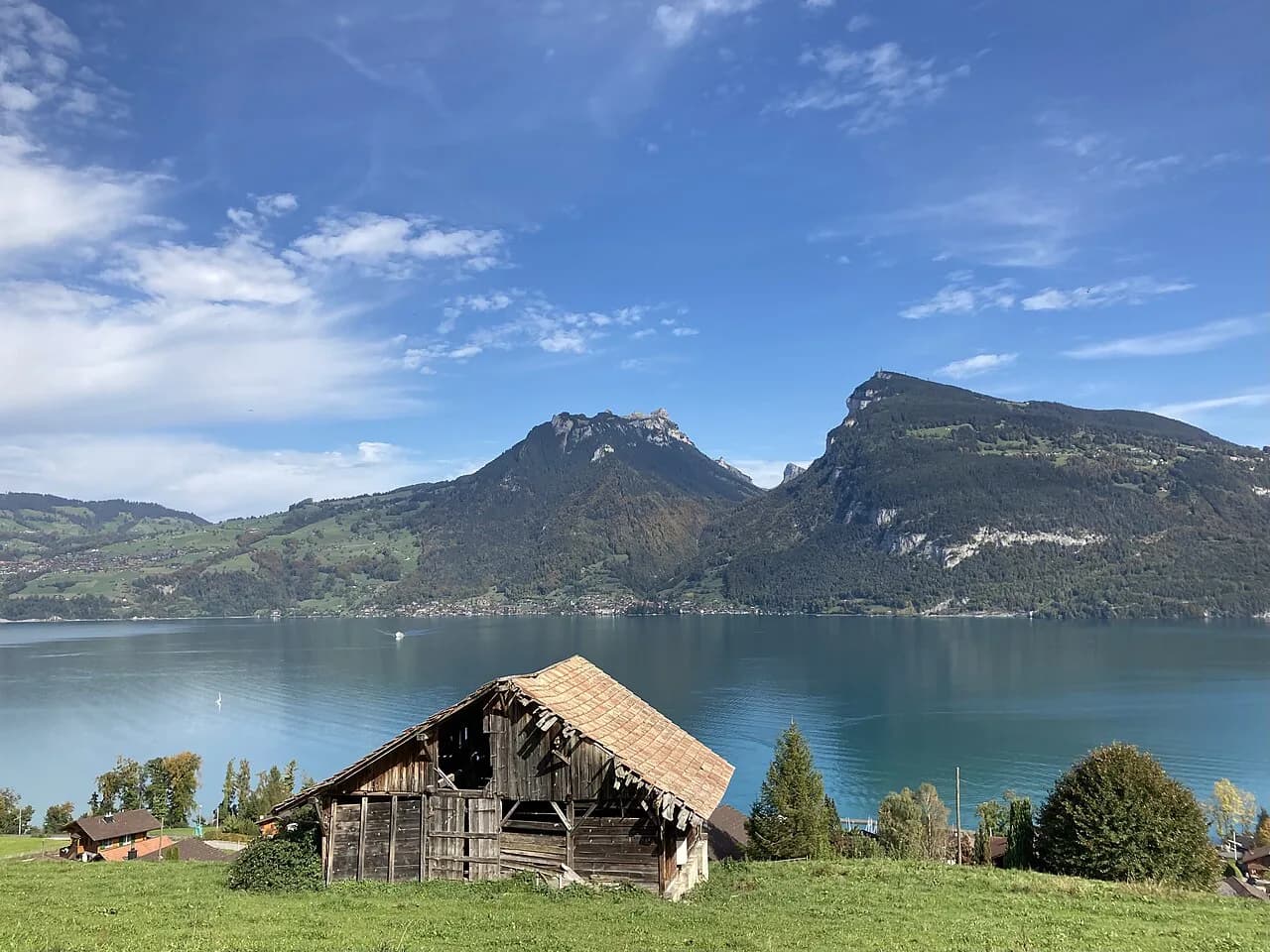
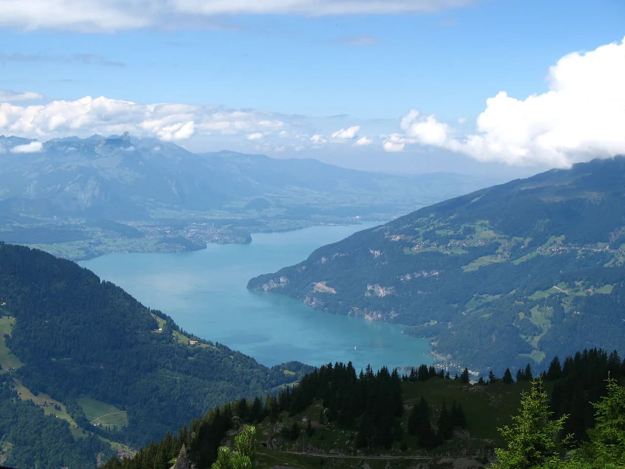
The ridge gives you the classic Bernese Oberland panorama: the Eiger, Mönch and Jungfrau to the south, with Lake Thun and Lake Brienz below on either side. The limestone outcrops along the path, including the Oberberghorn crest, are the natural photo stops, and the alpine garden near the station is a short, level walk if you want an easy add-on before or after the main circuit. Views are best in the morning when the peaks are clear, before afternoon cloud builds against the ridge.
Huts, food and water on the route
Plan on the top station area as your main source of food and water, and carry what you need for the full ridge. The short circuit brings you back within easy reach of the station, so you can eat there after the walk; the traverse toward First does not, and the distance between reliable stops is long. Fill bottles before leaving the station and treat any stream water on the high route as untreated.
When to go: snow on the ridge, afternoon storms and visibility
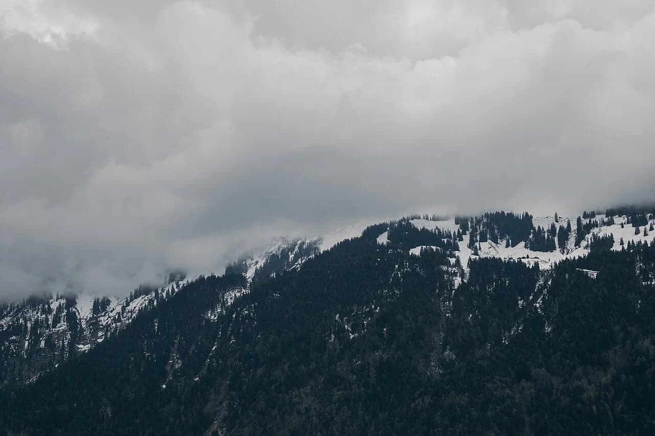
The season is governed by the cog railway rather than by the trail itself: the line runs from spring into late autumn, and the high ridge is only comfortably walkable once the winter snow has gone. Early and late in the season, expect snow patches on north-facing sections and on the Oberberghorn crest, and carry traction if the forecast suggests overnight freezing. Summer afternoons bring thunderstorms on the Bernese Oberland ridges, so start early and be ready to turn back when cloud starts building.
Visibility changes fast on the exposed parts, and the ridge offers little shelter. If the forecast is for thundery afternoons, do the short circuit in the morning and keep the traverse for a settled day. Autumn gives clearer air and fewer walkers, but the days are shorter and the last funicular leaves earlier in the afternoon.
Fitness, exposure and equipment
The short panorama circuit is a walk rather than a scramble, but it is high, exposed and partly narrow, so wear proper hiking shoes with grip and carry a shell and warm layer even on a sunny morning. The traverse to First is a bigger day: sustained height, longer distance and more committing terrain, so it suits hikers with alpine walking experience and steady feet on narrow paths.
If you want vertical adventure rather than ridge walking, Via Ferrata from Interlaken on the Mürren cliffs is a separate, guided-or-solo option with its own gear requirements, and it is best treated as a different day entirely. For this hike, a map or offline route, water, food and a headlamp for late finishes cover the essentials.
Getting back from First or returning by funicular
If you do the full traverse, the return is by cable car from First down to Grindelwald, then by train back through Interlaken; the First cable car and the Grindelwald trains run to their own timetables, so check the last descent before you start. If you stay on the circuit, you simply return to the Schynige Platte station and take the cog railway down to Wilderswil. In both cases, leave margin for queues at the mountain stations on fine summer weekends.
Where to base yourself: Wilderswil, Interlaken or Grindelwald
Wilderswil is the simplest base for the Schynige Platte hike, because the cog railway starts there and you can walk to the station from most of the village. Interlaken gives you more accommodation and connections to the rest of the region, at the cost of a short train ride to Wilderswil each morning. Grindelwald is the logical base if you plan the one-way traverse to First, since you finish on that side and can walk or ride back to your hotel; if you are weighing that side of the valley instead, Grindelwald hikes are set out in their own guide.
For an overview of villages, lifts and other trails in the area, the Lake Thun and Brienz valleys are covered in one place. If you want a low-effort viewpoint day, the harder kulm hike is the closest summit to Interlaken town, and Lake Thun's Niederhorn ridge offers an easier alternative on the Beatenberg side.
Extending the trip: Augstmatthorn and Harder Kulm ridge
The Harder Kulm ridge above Interlaken and the Augstmatthorn beyond it are a separate high route reached from the Harder funicular, not from Schynige Platte, and the ridge walk between them is a serious day with real exposure. Treat it as its own outing: the funicular saves the 750 m (2,460 ft) climb from Interlaken, but the ridge itself still demands a full day and settled weather. For a shorter version, the Harder Kulm ridge above town gives the same two-lake view without the distance.
Plan Your Schynige Platte Hike
Choose the short Oberberghorn circuit if you want the Schynige Platte panorama without a long day, and reserve the Schynige Platte to First traverse for a settled forecast and an early start. Either way, the cog railway from Wilderswil is the practical trailhead, and Jungfraubahn's own page is where you confirm the season's first and last trains and the day's final descent before you commit.
Frequently Asked Questions
How difficult is the Schynige Platte Panorama Trail?
The short panorama circuit around Oberberghorn is a moderate walk with some narrow, exposed crest, suitable for most reasonably fit hikers with proper shoes. The full traverse to First is a longer, more committing high route that suits experienced alpine walkers.
How long does the Schynige Platte hike take?
The panorama circuit is commonly planned at around two hours, while the traverse from Schynige Platte to First is planned at six to seven hours including photo stops. Add time for the Oberberghorn viewpoint and for the return transport from First.
How do you get to Schynige Platte from Interlaken?
Take the train from Interlaken to Wilderswil, then change onto the historic cog railway up to the Schynige Platte mountain station. The mountain railway runs seasonally, so check current operating dates.
Can you hike from Schynige Platte to First?
Yes, the high traverse from Schynige Platte toward First is a full-day route, finishing at the First cable car above Grindelwald. You need to arrange a return by cable car and train, and check the last descent before starting.
When is the best time to hike Schynige Platte?
The hike is best when the cog railway is running and the high ridge is clear of snow, typically from late spring through autumn. Start early in summer to avoid afternoon storms on the exposed sections.
Is the Schynige Platte funicular included in the Swiss Travel Pass?
Coverage on mountain railways varies by line and by pass, so check at the ticket desk before relying on a pass for this journey. The operator's own ticket information is the reliable source.
Sources
Trail notes for your next trip
Optional updates when we add or revise hiking guides.
You might also like
Continue reading
More guides you'll find useful