Seven Lakes Valley Hike, Julian Alps: Route and Huts
Plan the Seven Lakes Valley hike in Slovenia's Julian Alps: Planina Blato trailhead access, distance, ascent, mountain huts and the best months to walk it.
On this page
The Seven Lakes Valley hike climbs out of the forest above Lake Bohinj into a limestone basin of small alpine lakes, high pastures and mountain huts in the heart of Triglav National Park. It suits fit day hikers who can handle a steady climb of roughly six hours, and rewards the effort with one of the most distinctive landscapes in the Julian Alps.
The route is an out-and-back rather than a circuit, so you decide how far you go. Most walkers turn around at the hut beside Dvojno jezero (Double Lake), while a strong hiker can add a lake or a summit from that base.
Where the Hike Starts and Ends
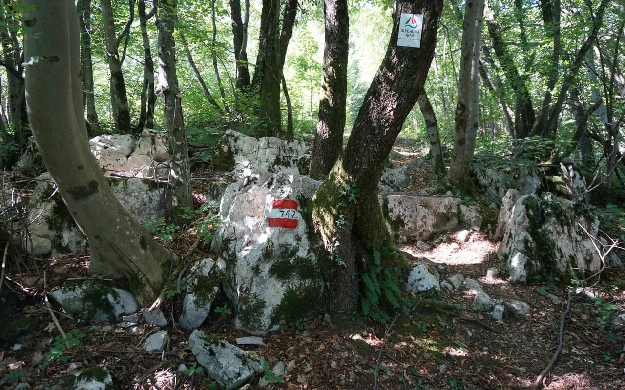
The walk starts at Planina Blato, a traditional alpine pasture on a forest road above Lake Bohinj, and finishes back at the same trailhead. The marked path climbs through woodland onto open grazing pastures, then into rockier terrain toward the lakes basin.
The natural turnaround is Koča pri Triglavskih jezerih at 1,685 m (about 5,528 ft), set beside Dvojno jezero. This is the point where the classic day hike reaches its destination before retracing the route to Planina Blato.
Getting to the Planina Blato Trailhead
Most hikers base themselves at Lake Bohinj, with Stara Fužina and Ribčev Laz the closest villages to the access road for Planina Blato. Planina Blato is reached on the Voje–Vogar–Planina Blato forest road, which has a gate and a year-round road management charge.
In high season Bohinj encourages organized transfers rather than private cars, and parking at the upper trailhead is limited, especially at weekends. If the upper car park is full you may have to park lower down and use the shuttles. Bohinj publishes current timetables and ticket details at its transport hub promet.bohinj.
If you are travelling without a car, regular buses bring you into the Bohinj area but do not line up neatly with the Planina Blato access road. The usual workaround is a taxi from Stara Fužina up to the trailhead, which is worth arranging the evening before an early start.
Distance, Ascent and Time
Published figures for the day hike vary with the turnaround point and the route chosen. One measured itinerary of 15.2 km (about 9.4 mi) out-and-back gives 1,051 m (about 3,449 ft) of gain and loss and about six hours, with the high point at Štapce at 1,851 m.
A longer version that takes in two hut stops is described as 17.5 km with 870 m of gain and loss over about eight hours. Treat the six-hour figure as a brisk pace and the eight-hour figure as a steady one, and plan your turn-around time from the shorter estimate.
The route is a marked mountain trail without technical climbing, but the Štapce line includes steeper, more alpine ground with short secured sections. Slow down on wet rock and keep space between hikers where the path is protected.
Route Description: Planina Blato to the Pastures
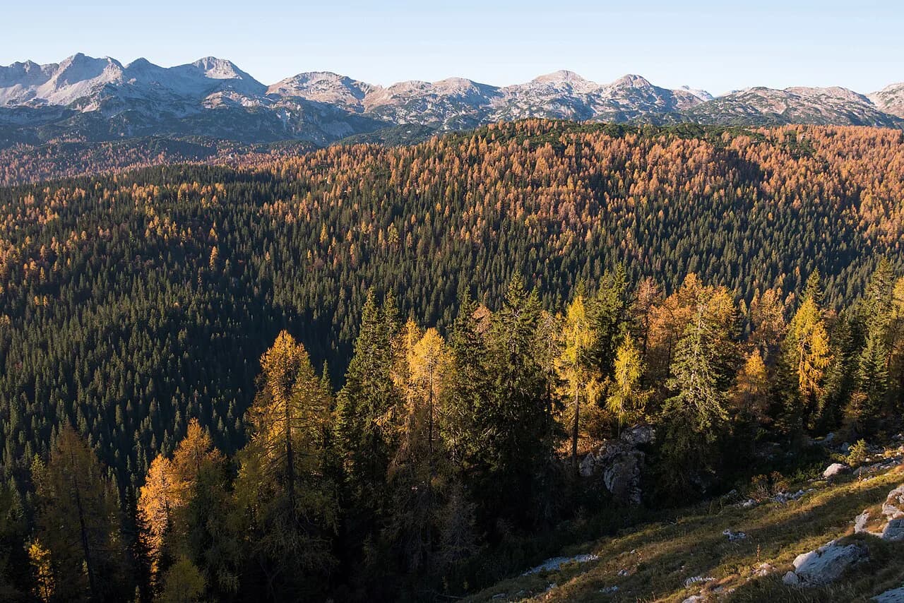
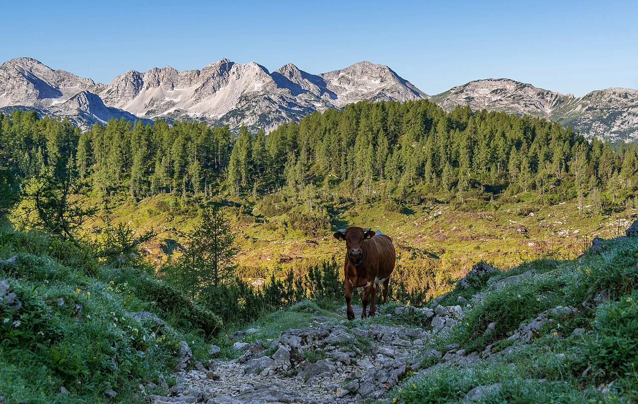
Leave Planina Blato and follow the marked trail as it climbs through forest at a steady gradient. The trees thin as you gain height, and the first open pasture terrain appears where the views begin to open toward the Julian Alps skyline.
The route then crosses a series of remote mountain pastures with simple wooden buildings, still linked to traditional dairy production in summer. Planina Dedno Polje forms a wide open shelf framed by forest and limestone, and Planina Viševnik continues the same pattern of meadow climbs alternating with woodland.
Use the pastures as pacing markers rather than rushing the ascent. The open ground gives you a natural place to adjust layers before the terrain turns rockier and more exposed above the tree line.
The Upper Limestone Terrain and the Lakes Basin
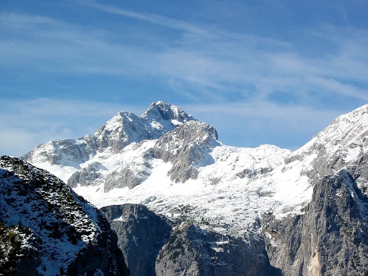
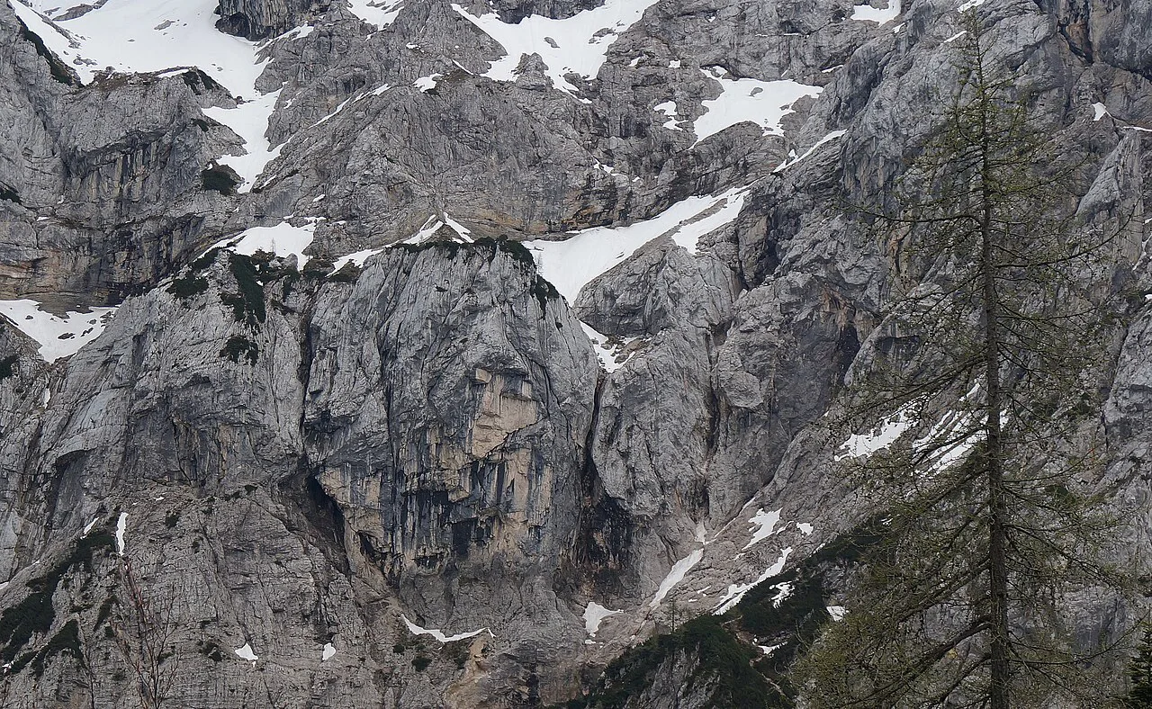
Above the pastures the path becomes more alpine and rockier, with the bigger Julian Alps peaks rising around you. Limestone sections grow slippery after rain, so allow extra time on the steeper stretches and watch your footing on polished slabs.
The trail eventually drops into the basin where the lakes sit in karst terrain, with Dvojno jezero appearing as two connected alpine basins divided by a narrow limestone ridge. The hut is the place to rest and refill before you turn back.
The Mountain Huts on the Route
You pass two mountain huts on the way to Double Lake. Stop briefly at the first for a reset, then continue to the second, Koča pri Triglavskih jezerih, which is the main break of the day and serves hot meals and drinks including stews, štruklji and zavitki.
The hut has a drinking water tap in front of the building and cold-water basins inside, with water use limited as is normal at remote huts. There are no showers, so plan on a wash at the basins rather than a proper clean-up.
If you want to sleep at the hut, book ahead: capacity is 135 beds, split into 46 beds across 15 private rooms and 89 beds in six dormitories, and the private rooms go early. Regular sleeping bags are not allowed, so bring a hut sheet liner or pay for disposable bedding on arrival.
Cooking inside is not permitted and open fires are prohibited; you can only use your own portable burner outside. Dinner runs until 8:00 PM, with vegetarian, vegan and gluten-free options that may be limited, so carry your own snacks for the gaps between huts.
Connectivity is weak at this altitude and card payments are not something to rely on, so carry enough cash for hut extras. Carry a headlamp as well, since lighting and sockets in the dormitories are shared and limited.
Double Lake and the Turnaround
Koča pri Triglavskih jezerih sits right beside Dvojno jezero, and this lakeside scene is the destination most day hikers plan around. Reach it with time to eat and sit before you start the descent, because the return follows the same path and takes about as long as the climb.
Recorded times for this trail vary widely, with one app listing 15.5 mi (about 25 km) and 4,524 ft of gain over nine to ten hours. That figure reflects a longer valley itinerary than the standard turnaround, so compare it with your own plan before committing to a full traverse.
Optional Add-Ons Beyond the Hut
Two easy extensions start from the hut area and are worth building into the day if you have energy and daylight. Jezero v Ledvicah, Kidney Lake, is about 45 minutes one way beyond Koča pri Triglavskih jezerih, on straightforward ground.
Mala Tičarica is a classic summit add-on, about one hour of ascent from the hut, with a panoramic view back over Dvojno jezero and the central valley. Take the added time seriously: both extensions lengthen the return leg, so set a firm turn-around time from the hut.
Extending to Two or Three Days
Turning the day hike into a hut-to-hut trip gives you the upper valley without a single long push. On a two-day version you sleep at Koča pri Triglavskih jezerih by Double Lake, then use the second morning for extra lakes and viewpoints before walking out.
The three-day version heads first to Vodnikov dom na Velem polju at 1,817 m, about four hours from Planina Blato. Day two traverses the Velo polje plateau into the lakes basin and sleeps by Dvojno jezero, and day three leaves space for a short bonus walk before the hike out.
Stronger parties continue deeper into the valley to Zasavska koča na Prehodavcih above the upper lakes, or cross the Hribarice plateau toward Dolič for bigger Triglav group objectives. Each of these links a different hut night, so decide which hut you sleep in first before booking anything.
When to Go
July to September is the most reliable window for a mostly snow-free route, with the clearest paths and the longest daylight. Peak crowds and common afternoon thunderstorms come with it, so start early and aim to be descending before the usual storm window.
June can still hold lingering snow patches on the higher sections, which slows progress and makes wet rock more awkward. Late September and October bring fewer people and crisp visibility, but shorter days and early snowfall risk mean conservative turnaround times matter.
Use a mountain forecast rather than a lowland forecast before you set out; ARSO is the official source for Slovenia's weather services. Hut opening dates shift from year to year, so check the current status of Koča pri Triglavskih jezerih before you commit to a route that depends on it.
Where to Base Yourself Around Lake Bohinj
Stara Fužina and Ribčev Laz are the practical bases for this hike, sitting closest to the forest road that leads up to Planina Blato. From either, you can be at the trailhead by car or taxi in a short drive and make an early start without a long approach.
If you want the wider context of where this route sits among the range's trails, the hiking in julian alps guide covers other valleys and hut-to-hut options. For a gentler base with shorter day walks, see the hiking in Lake Bled guide for viewpoint trails and gorge routes. Neighbouring objectives include the triglav hike from the same national park, which uses different trailheads and is a separate outing rather than an extension of this valley.
Safety Notes for the Valley
Afternoon thunderstorms are a common mountain pattern in Slovenia in summer, and the exposed limestone above the pastures offers little shelter. Start early, watch the sky, and turn around if the weather starts building fast rather than pushing to the upper lakes.
The secured sections near Štapce feel more alpine than the rest of the route, so slow down on wet rock and keep space between hikers. Carry water for one and a half to two litres, plus extra layers for cold mornings at elevation.
Plan Your Visit
The Seven Lakes Valley works best as an early start from Planina Blato with a firm turnaround at Koča pri Triglavskih jezerih by Double Lake. Decide before you go whether you are walking the day route or sleeping at the hut, because the two versions need different planning and a different packing list.
Book beds well ahead if you plan to stay, carry cash for hut extras, and bring a hut sheet liner since regular sleeping bags are not allowed. Confirm shuttle times with Bohinj's transport hub and the hut's opening status before you set out.
Frequently Asked Questions
How long does the Seven Lakes Valley hike take?
Most day hikers need about six hours at a steady pace for the out-and-back to the hut by Double Lake, and longer if they add Jezero v Ledvicah or the Mala Tičarica summit. Published estimates differ because apps and guides measure different turnaround points, so plan your own timing from the six-hour figure and add time for breaks.
How far is the Seven Lakes Valley hike and how much ascent is there?
A measured out-and-back to the hut beside Double Lake is roughly 15.2 km with about 1,051 m of gain and loss, reaching a high point of 1,851 m at Štapce. Other versions that continue deeper into the valley cover more ground with comparable or slightly less total climbing, depending on where they start and finish.
Where does the Seven Lakes Valley hike start?
The hike starts at Planina Blato, an alpine pasture on a forest road above Lake Bohinj in Triglav National Park. From there the marked trail climbs through forest onto open pastures and into the limestone basin, returning the same way.
Can you reach the Planina Blato trailhead without a car?
Regular buses reach the Bohinj area but do not serve the Planina Blato access road directly, so most walkers without a car take a taxi from Stara Fužina to the trailhead. In summer Bohinj also runs organized transfers to popular starting points, with timetables and tickets published at its transport hub promet.bohinj.
Do you need to book the hut on the Seven Lakes Valley hike?
Yes, if you want to sleep inside rather than gamble on a walk-in space. The hut has 135 beds split between a small number of private rooms and larger dormitories, and beds sell out in peak summer; many Slovenian hut reservations are only held until late afternoon, so arrive early.
Can you hike the Seven Lakes Valley in one day or should you stay overnight?
The day hike to Double Lake and back is realistic for fit walkers in about six hours. Staying overnight at Koča pri Triglavskih jezerih, or adding a night at Vodnikov dom on a three-day version, lets you see the upper lakes and viewpoints without a single long push.
What is the best time of year to hike the Seven Lakes Valley?
July to September gives the most reliable snow-free conditions with long daylight, though crowds and afternoon storms come with it. June can still hold snow patches on the higher sections, and late September or October brings fewer people but shorter days and early snowfall risk.
Can you extend the hike to Jezero v Ledvicah or Mala Tičarica?
Both work as add-ons from Koča pri Triglavskih jezerih: Jezero v Ledvicah is about 45 minutes one way, and the Mala Tičarica summit takes about an hour of ascent with a view back over Double Lake. Each extension lengthens the return leg, so set a firm turn-around time.
Sources
Trail notes for your next trip
Optional updates when we add or revise hiking guides.
You might also like
Continue reading
More guides you'll find useful