Hiking in Slovenia: Best Trails, Bases and When to Go
Plan hiking in Slovenia's Julian Alps and Karavanke: lake and ridge trails, trailhead shuttle buses, hut nights and the best months to walk.
On this page
Slovenia gives you genuine alpine terrain without the crowds or logistics of the bigger Alpine nations: a day can start at a lake shore and finish on a rocky summit above 2,000 m (6,560 ft). Most of the classic routes sit inside Triglav National Park, with shorter flower and ridge walks in the Karavanke and the Kamnik-Savinja Alps. This guide sorts the trails by how much time and climbing they ask of you, so you can pick for the day you actually have.
Distances and ascents below come from route descriptions, but snow, storms and trail conditions decide more than any table. The Julian Alps are among the wettest alpine regions in Europe, receiving over 3,200 mm (126 in) of precipitation a year, which keeps the lakes full and the limestone greasy after rain.
Why Slovenia suits hikers
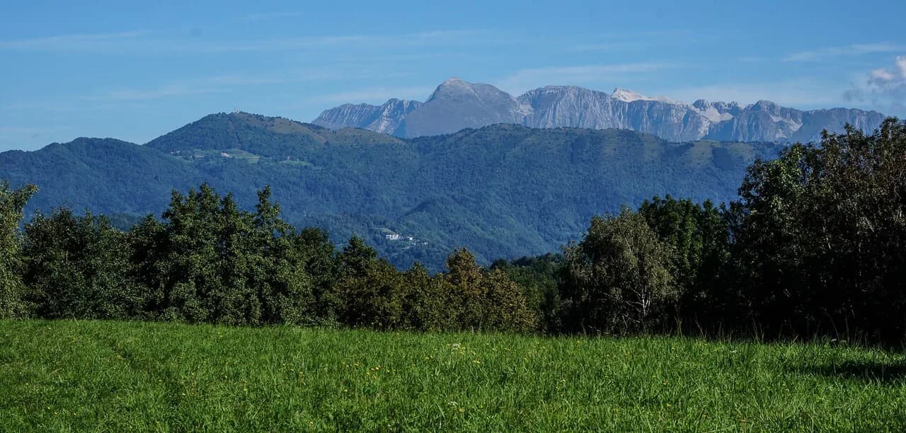
The country's hiking heartland is the Julian Alps in the northwest, where Triglav National Park holds Slovenia's highest mountain, Mt Triglav at 2,864 m (9,396 ft), plus the Seven Triglav Lakes valley and the peaks above Lake Bohinj. Two further ranges widen the options: the Karavanke along the Austrian border, and the Kamnik-Savinja Alps north of Ljubljana. All three lie within a couple of hours of each other by road.
What makes the country practical is scale. Trailheads sit close to beds, buses reach several key starting points in summer, and marked routes run from a two-hour lake climb to a full hut-to-hut traverse. You can mix a family walk in the morning with a serious ascent the next day without changing base.
The main hiking areas and what each is best for
The Julian Alps around Bled, Bohinj and the Soča Valley are where you go for altitude: summit days, lake basins and mountain huts. The Karavanke are gentler and greener, good for ridge walks and flower meadows, with the Zelenica huts and Stol as the anchors. The Kamnik-Savinja Alps above Ljubljana offer the Velika Planina plateau, a shepherd settlement on open pasture that works well as an easy half day.
If you want the classic Julian Alps experience without committing to the whole range, base yourself near Bohinj and pick trails by how far you want to drive or ride to the trailhead. For a wider spread of routes and more on the Soča side, plan a few nights in different valleys rather than day-tripping from one town.
Best easy hikes: lake viewpoints and plateau walks
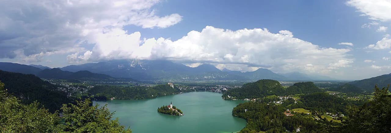
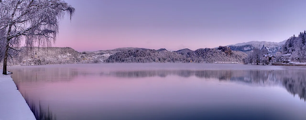
Above Lake Bled, a circuit links three viewpoints: Ojstrica with the classic island panorama, Velika Osojnica about 25 to 30 minutes further up, and Mala Osojnica on the way down. Allow roughly 4 to 5 hours to walk from Bled to the trailhead near the campground on the southwest shore, up and back, and around the lake. The paths are short but steep in places, so grippy shoes matter more than boots.
Lake Bohinj has its own easy circuit from the village of Stara Fužina: climb to Mt Rudnica in about an hour, walk another five minutes to the viewpoint by the hut, then follow the ridge for roughly another hour to the Peč lookout. Count on about three hours for the loop. It is a good first afternoon while you settle in and check conditions higher up.
Velika Planina, on the southern edge of the Kamnik-Savinja Alps about 30 km (19 mi) north of Ljubljana, is a broad plateau of shepherds' huts and summer dairy farms. Loop routes across it are gentle and take a few hours, and in spring the melting snow gives way to crocus carpets. Combine a loop with a long lunch of local dairy food rather than treating it as a training day.
The Zelenica walk in the Karavanke is the best family option in the north: a route of no more than 8 km (5 mi) with about 650 m (2,130 ft) of ascent that visits two mountain huts. The traditional štruklji pastry at the huts is the reward. It suits mixed-ability groups because the climbing is steady rather than technical.
Best moderate day hikes: lakes, ridges and peaks
The Seven Triglav Lakes valley is the signature day in the national park, usually walked as a long circuit from Planina Blato via the Koča na Planini pri Jezeru hut. A demanding variant continues to Mala Tičarica and Mala Zelnarica, taking 7 to 9 hours return; the section to Zelnarica turns rockier and steeper, and the descent from its summit is steep and slippery. Treat the full loop as a big day and start early.
Lake Krn, the largest alpine lake in Slovenia at about 300 m long and 150 m wide, sits among the rocky peaks of the southwestern Julian Alps. A day hike from the Soča Valley reaches it, and a further climb of about four hours tops a remote 2,016 m (6,614 ft) peak above the water for views of both Lake Krn and its smaller twin, Dupeljsko Jezero. The added summit turns a pleasant lake walk into a proper mountain day.
Mala Mojstrovka above Kranjska Gora is reached by a via ferrata built in 1928, with 720 m (2,362 ft) of ascent and about 5 hours for the round trip. It is a relatively accessible introduction to protected climbing, with the payoff of steep north-face panoramas. The route is exposed and needs a harness, via ferrata set and helmet, and a guided day is the sensible way in if you have not done one before.
Viševnik from Rudno Polje is short but steep: about 3 km (1.9 mi) gaining nearly 700 m (2,300 ft), roughly two hours up, with a small summit that gets crowded on fine mornings. The alternative descent crosses a ridge and drops down a scree slope before entering forest, which adds interest but demands care on loose ground.
Best hard days and summits
Triglav is the big one, and it is a long, serious day rather than a walk-up. The upper mountain involves exposed scrambling and, in many seasons, snow that lingers early in the summer; parties have been caught by mid-summer snowfall and thunderstorms. Most hikers split the climb with a night in one of the huts below the summit, which also spreads the effort and lets you start the exposed section fresh.
Stol and Mali Stol rise above the Bled side of the Julian Alps, and the climb is relentless switchbacks with little relief. Allow 7 to 8 hours for the round trip, with a couple of kilometres of road walking to the trailhead near Moste or Potoki and an hour up to the Valvasorjev dom hut before the steep section begins. There is no water on the route, so fill up at the hut.
Prsivec at 1,761 m (5,777 ft) makes a rough circuit from Blato, climbing past Koča na Planini pri Jezeru and finishing with a scrambly summit approach above Lake Bohinj. The descent is steep and rocky, with fallen trees to negotiate, so allow 8 to 10 hours and treat the navigation markers as essential. Črna Prst from Bohinjska Bistrica is a similar-length day at 6 to 8 hours, ending in a scramble that turns slippery in the wet.
Via ferrata options
Beyond Mala Mojstrovka, the other classic protected routes lie in the west and southwest. The Gradiška Tura in the Vipava hills has two connected via ferratas: the Furlan Route, just over an hour, gradually prepares you for the Otmar Route, which opens with a steep wall with a slight overhang before easier sunlit limestone above. The whole outing covers 600 m (1,970 ft) of ascent and about 5 hours.
Gear is not optional on these routes: harness, via ferrata lanyard, helmet and gloves, plus the fitness to keep moving on steep ground. A guide makes sense for your first route or if you want the harder lines without route-finding stress. For the fuller list of graded routes and access notes, see the Slovenia via ferrata guide.
Hiking bases: which village suits which hikes
Bled is the easiest base for first-timers: lake viewpoints on the doorstep, buses and shops, and short transfers to Bohinj and Kranjska Gora. Stara Fužina, a 15-minute walk above the Bohinj bus stop, is better placed for Bohinj's trailheads and the Seven Lakes approach, and most accommodation in the area sits there. Bohinjska Bistrica works well for Črna Prst and as a quieter alternative with bus connections.
Kranjska Gora is the natural base for the Vršič Pass side, Mala Mojstrovka and the Karavanke, while Bovec serves the Soča Valley and its lake and summit days. If you plan to combine several of these on a guided or self-guided itinerary, compare the Slovenia walking holidays formats to plan your mountain hut beds.
Getting to trailheads without a car
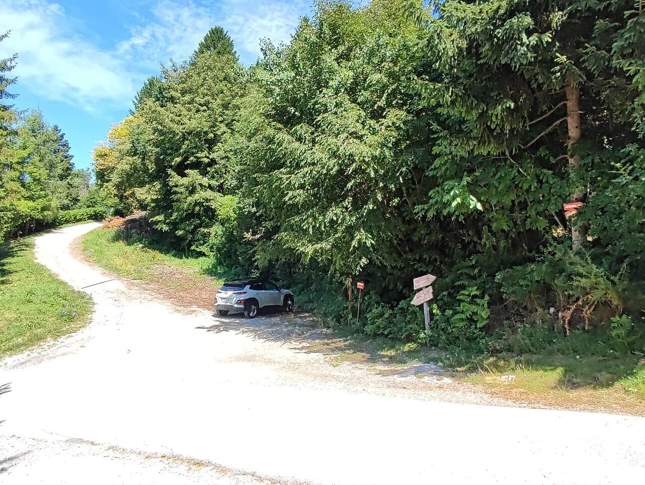
Public transport reaches more trailheads than most visitors expect. A free shuttle bus serves several key trailheads from Lake Bohinj and Bohinjska Bistrica in summer, running from about 22 June to early September, with services to Blato and an early-morning run up to Rudno Polje. Check the current season's timetable locally before you build a day around it.
Regional buses connect Bled with Bohinj and with Jesenice, which is how you reach the Stol trailhead at Moste or Potoki. Parking at popular trailheads such as Stara Fužina and the Savica Waterfall car park comes with a charge, so the shuttle is often the cheaper and simpler option. There are no car rental agencies in Bled or Bohinj, so arrange a vehicle in Ljubljana if you want one.
Mountain huts: how they work
Huts on the main routes are open from late spring to early autumn and function as both lunch stops and overnight beds; locals often walk up just for a meal. They are the social heart of Slovenian hiking, with hearty food and a lively atmosphere at the bigger huts near Triglav. Expect to pay in cash, since huts generally do not take cards.
For overnight stays on the Seven Lakes route or below Triglav, plan the huts into the itinerary rather than hoping for space, and ask the hut or your booking service about bedding and half-board when you reserve. A three-day Seven Lakes version of the trek uses two huts and covers about 25 km (15.5 mi), which is the most comfortable way to see the valley.
Hut-to-hut and long-distance routes
Slovenia's long-distance options are compact but varied: the Seven Lakes trek with its two hut nights, multi-day Julian Alps traverses linking Triglav with the Soča Valley, and the Juliana Trail, a long loop through the Julian Alps region. Guided and self-guided formats differ mainly in how much logistics is handled for you and how much independence you get on the trail.
On any of these, plan around hut opening seasons and carry cash for meals and drinks along the way. If you want the stages, daily distances and booking logic laid out fully, the hut to hut hiking guide covers the options in detail.
When to go: month by month, snow and crowds
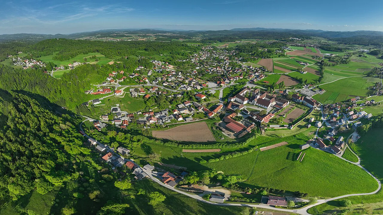
Late May to the end of June and September are the sweet spots: mild temperatures, melted winter snow on most routes and fewer people than midsummer. Locals tend to rate September highest for weather and quiet. July and August bring heat, afternoon thunderstorms and the heaviest traffic on the popular Bohinj and Bled trails.
Spring is the trickiest season. Snow can persist above roughly 1,500 m (4,920 ft) into early spring, and many summits stay inaccessible without winter equipment, while the upper part of the Black Lake to Double Lake route often holds snow into summer. In autumn, early snowfall can close the high passes; check conditions rather than assuming a route is clear.
Rain matters too: heavy summer rainfall raises lake levels and makes limestone slippery, and storms can roll in fast in the Julian Alps. Build a rest day or a valley walk into any week of high summits so a bad forecast does not wreck the trip.
Weather and safety on Slovenian mountains
The real hazards are exposure on the protected and scrambly sections, snow lingering on high passes, and afternoon storms. On routes like Triglav, Mala Mojstrovka and the upper Seven Lakes, turn back if the weather is closing in or the rock is wet; the views will still be there another day.
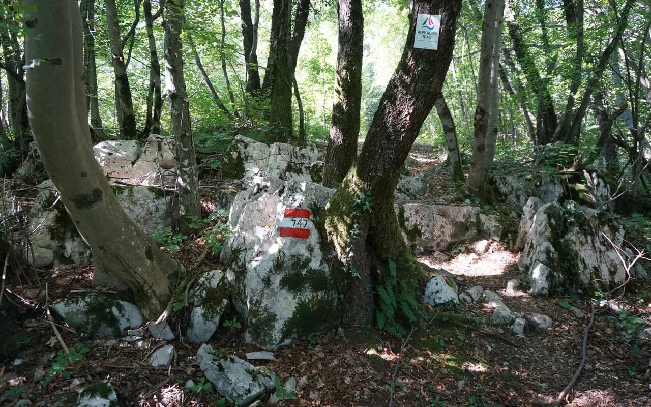
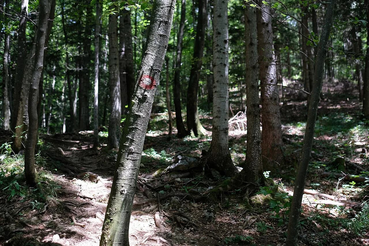
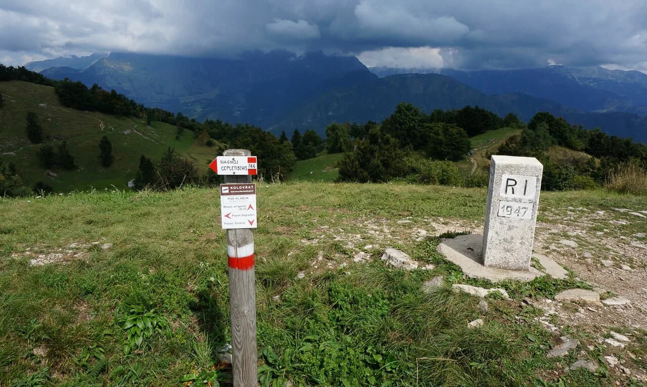
Navigation is its own challenge: trails can be obscured by snow or blocked by fallen trees, and some junctions on routes such as Črna Prst and Prsivec are not well marked. Carry a paper map, follow the red-and-white target markers and have an offline map on your phone.
What to pack
Pack for cold and wet even in midsummer: waterproof boots, a rain and wind shell, warm layers, and a hat for exposed ridges. Take at least 2 litres of water per person, more in heat, since not every route has a reliable source; on Stol there is no water at all above the hut.
Add trekking poles for the steep descents, sunscreen and sunglasses for the high limestone, a power bank, and cash for huts. For via ferrata days, bring your own harness, lanyard and helmet or arrange rental through a guide.
Where to stay for which hikes
Choose Bled for viewpoint walks and easy access, Stara Fužina or Bohinj for the Seven Lakes and Bohinj ridge days, Kranjska Gora for the Vršič Pass and Karavanke, and Bovec for the Soča Valley. Each base shortens the drives or bus rides to its own trailheads and keeps the big days within reach.
If you want one place for the whole trip, Bohinj is the best compromise: a free summer shuttle covers several trailheads, the lake viewpoints are on the doorstep and Triglav and the Seven Lakes are close. Book early for summer, when the valley fills with hikers.
Plan Your Visit
Start with the day you have: a lake circuit above Bled or the Rudnica ridge above Bohinj if you are short on time, Velika Planina for a gentle plateau day, the Seven Lakes or Krn Lakes for a full moderate day, and Triglav or Stol for a committed summit. Then match your base to those choices and check bus season and hut opening before booking.
Treat the weather as part of the plan: build in a flexible day, carry cash for huts and start early on long routes. That is enough to make Slovenia's small, well-connected mountains feel like a week of big alpine walking.
Explore more Slovenia hiking guides
Frequently Asked Questions
Is Slovenia good for hiking?
Yes. Triglav National Park holds Slovenia's highest mountain and a dense network of marked trails, while the Karavanke and Kamnik-Savinja Alps add gentler ridge and plateau walks. The country is compact, so you can base in one valley and reach several different trailheads by road or summer bus.
What is the best month to go hiking in Slovenia?
Late May to the end of June and September give the best balance of melted snow, mild temperatures and lighter crowds. July and August are hotter and busier, with afternoon thunderstorms, and snow can linger above roughly 1,500 m into early spring.
Can you hike in Slovenia without a car?
Yes, especially around Bohinj and Bled. A free summer shuttle from Lake Bohinj and Bohinjska Bistrica serves several key trailheads, and regional buses link Bled with Bohinj and Jesenice for the Stol trailhead. Check the current season's timetable locally before planning a day around it.
Where should you stay in Slovenia for hiking?
Bled suits viewpoint walks and easy access, while Stara Fužina and Bohinj put you closest to the Seven Lakes approach and the Bohinj ridge routes. Kranjska Gora works best for the Vršič Pass and Karavanke, and Bovec serves the Soča Valley.
Sources
Trail notes for your next trip
Optional updates when we add or revise hiking guides.
You might also like
Continue reading
More guides you'll find useful