Slieve Donard Hike: Glen River Route Guide from Newcastle
The Slieve Donard hike climbs Northern Ireland's highest peak from Newcastle in 4-5 hours. Follow the Glen River route, the Mourne Wall and the steep descent.
On this page
Slieve Donard stands at 850m (2,789ft), the highest summit in the Mourne Mountains and in Northern Ireland, rising directly above the seaside town of Newcastle in County Down. The Glen River route suits hikers with reasonable fitness who want a short, steep climb with a big reward rather than a long day out. From the top, a clear day opens up views across the Mournes, the Irish Sea and, on the best days, as far as Wales and Scotland.
Where the hike starts
The Glen River route begins at the Slieve Donard car park in Donard Park, on the outskirts of Newcastle, a short walk from the town center. The park has toilets and good parking, so it makes a sensible base for the day. Plan to arrive early in fine weather, because this is the most popular line on the mountain and the car park fills quickly.
Newcastle sits just over an hour from Belfast by road, and drivers coming from the south reach it on the M1 motorway to Newry and then the coastal A2 road through Warrenpoint. That approach gives you views of Carlingford Lough on one side and the Mournes on the other. If you plan a wider tour of the island, the hiking in ireland guide covers other long routes worth adding.
Distance, ascent and time
The Glen River route is about 4.6km (2.9mi) one way from the car park to the summit, so a full return comes to roughly 9.2km (5.7mi). Allow four to five hours for the round trip, depending on pace and weather. The gradient is steady rather than technical, but it is steep in places, so treat it as a moderate to strenuous half-day rather than a stroll.
GPS-measured records put the round trip longer, at around 6.2mi with 2,732ft (about 833m) of ascent and a walking time of five to five and a half hours. That variation reflects the line a tracker follows and any wandering at the top. Whichever figure you plan around, budget most of a morning or afternoon for the climb and descent.
Route description: Donard Wood to the saddle
From the car park the trail climbs into Donard Wood, a rich stand of oak, birch and Scots pine, crossing and re-crossing the cascading Glen River on small bridges. The going is steady through the trees and the river keeps you company the whole way. Past the woodland the character changes: the path steepens sharply, and one section of river bank overhangs in a way that needs care underfoot.
A gate and a stile mark the point where you leave the trees behind and climb above the Glen River toward the saddle between Slieve Commedagh and Slieve Donard. This stretch runs for a couple of kilometres on a track recently paved with new steps to cope with the thousands of walkers who come this way each year. One more river crossing follows before the ground opens up toward the wall.
The Mourne Wall and the summit
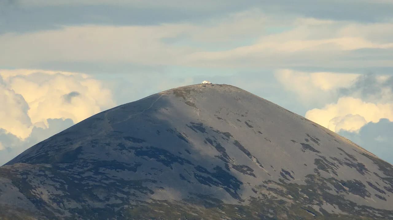
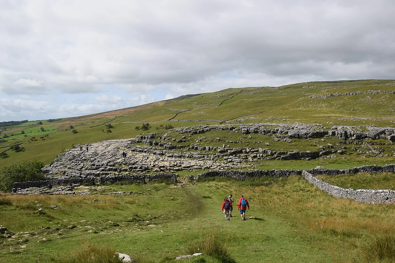
At the saddle you meet the Mourne Wall, a granite dry-stone wall standing about 1.5m high that runs for 35km across 15 mountains and was built between 1904 and 1922. Turn left and follow the wall up a steep, relentless pull to the summit. Several false peaks interrupt the climb, so keep going until you see the tower shelter with its trig point and the two cairns nearby.
On the summit you can pick out the Mourne peaks all around, Newcastle's long beach below, and Lough Neagh and the Antrim hills to the northwest. In good visibility the Isle of Man, the Wicklow Mountains, and even the hills of Wales, Scotland and Donegal come into view. Bring a layer for the top: the temperature drops roughly one degree for every 100m of ascent, and wind on the summit can be two or three times what you felt in town.
The descent
You come down the way you went up, retracing your steps along the wall to the saddle before rejoining the stepped track and the woodland path. The steep wall section is where the descent demands most attention, particularly when the rock is wet or greasy. Trekking poles earn their place here, and a slow, deliberate pace costs you little time.
The Bloody Bridge alternative
The Bloody Bridge route gives you a second way up, starting from a car park about 5km before Newcastle on the approach into town. It follows the Bloody River and the Bog of Donard for 10.4km return, making it the longer option. The climb is steady beside the water until the Bog of Donard, then steep for a stretch to the summit, and the path is less clearly marked than the Glen River line.
Choose Bloody Bridge if you want fewer people around you and don't mind a longer day with weaker waymarking. The Glen River route remains the better first ascent for most hikers because it is shorter and easier to follow. If you enjoy Northern Ireland's coastal and mountain walking, the causeway coast way offers a gentler contrast along the north coast. For a similar short, steep summit climb elsewhere on the island, hiking in Killarney gives you another well-marked mountain day to compare.
When to go
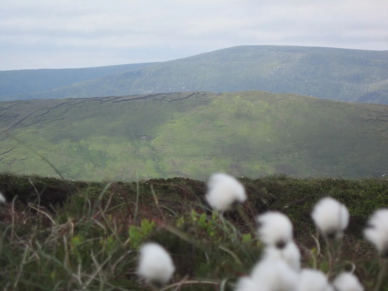
The mountain is climbable year-round, but the best months are late spring through early autumn, when days are long and the ground is most likely to be dry underfoot. Winter brings ice and snow on many Mourne peaks, so the same route becomes a different proposition and calls for an early start and a shorter day. Whatever the season, the weather here changes quickly and the summit can sit in cloud while Newcastle is sunny.
Weather and kit
Pack for all four seasons even in summer: thin warm layers such as merino, a waterproof jacket and trousers, sunscreen and a hat, plus plenty of food and water. Carry a map, compass and a fully charged phone, and know how to use the navigation aids before the cloud drops. In winter, add traction and check the mountain forecast before setting out.
If the weather closes in, Tollymore Forest Park is 15 minutes from Newcastle and offers forest walks along the Shimna River ranging from under a kilometre to an 8.8km mountain trail. It makes a good bad-weather substitute rather than a wasted day. Save the summit for a clearer window.
After the hike in Newcastle
Back in town, Newcastle has plenty of places to eat, and a coffee followed by a walk on the town's long sandy beach is the classic way to end the day. If your trip extends further afield, the Wicklow Way Guide covers a multi-day route in the hills south of Dublin that suits a longer walking holiday.
Plan Your Slieve Donard Hike
Start at Donard Park, follow the Glen River through Donard Wood, take the stepped track to the saddle and turn left onto the Mourne Wall for the final steep pull. Allow four to five hours for the return, carry layers and waterproofs, and start early to secure parking and a weather window. If you want a quieter, longer day, the Bloody Bridge route is the alternative.
Frequently Asked Questions
How long does the Slieve Donard hike take?
Allow four to five hours for the round trip on the Glen River route, which is about 9.2km (5.7mi) return. GPS-measured records put the round trip at five to five and a half hours. Pace, weather and time on the summit all shift the total.
Is the Slieve Donard hike difficult?
It is a moderate to strenuous walk. The route is not technical and is doable for hikers with reasonable fitness, but it is steep in places and gets muddy and slippery in wet weather, especially on the descent along the Mourne Wall.
Where does the Slieve Donard hike start?
The Glen River route starts at the Slieve Donard car park in Donard Park on the edge of Newcastle, County Down. The park has toilets and good parking. The Bloody Bridge route starts from a separate car park about 5km before Newcastle on the approach into town.
What is the shortest route up Slieve Donard?
The Glen River route from Donard Park is the shorter option at about 4.6km (2.9mi) one way. The Bloody Bridge route covers 10.4km return and is less clearly marked, so it takes longer.
Do you need a map for Slieve Donard?
Carry a map and compass and know how to use them. The Glen River route is well defined, but the summit section along the Mourne Wall and the less waymarked Bloody Bridge route both reward proper navigation, particularly in cloud.
What is there to do in Newcastle after the hike?
Newcastle has plenty of places to eat, and the town beach makes an easy post-hike walk. Tollymore Forest Park, about 15 minutes away, offers forest trails from short paths to an 8.8km mountain route.
Sources
Trail notes for your next trip
Optional updates when we add or revise hiking guides.
You might also like
Continue reading
More guides you'll find useful