Hiking in Ireland: Trails, Terrain and How to Choose a Route
Plan hiking in Ireland around waymarked long-distance trails, from the Kerry Way to the Cavan Way, and match distance, terrain and season to your fitness.
On this page
Ireland packs an unusual range of walking into a small island: cliff paths above the Atlantic, open moorland and bog in the midlands, forest tracks in the Slieve Bloom Mountains and long-distance waymarked routes that run for days. The right choice depends less on the famous names than on how many days you have, how comfortable you are on wet, uneven ground, and whether you want a linear route or a loop you can shorten at will.
Hikers who treat Ireland as a single trail type usually end up on a route that is either too short or far longer than their holiday allows. The sections below sort the main walking areas by terrain and by days available, then give the practical detail that decides a trip: trailheads, distances, ascent, access without a car and when to walk.
Where hiking in Ireland fits: coast paths, mountain loops and waymarked long-distance trails
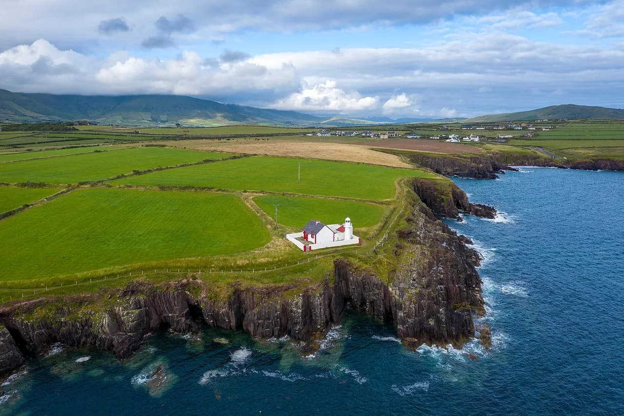
Irish walking splits into three practical styles. Long-distance waymarked trails such as the Wicklow Way, the Dingle Way and the Beara Breifne Way run for days between villages and are usually walked in stages with overnight stops. Shorter loops and forest park trails give you a half day without committing to a stage. Coastal paths and mountain routes add exposure, bog or cliff edges that make the terrain, rather than the mileage, the deciding factor.
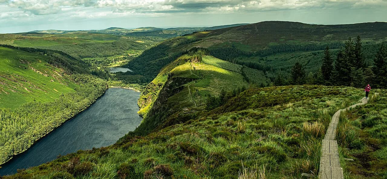
A useful test is the ground underfoot. Forest tracks and quiet country roads let you cover ground steadily; open moorland, bog and field paths slow a group considerably and demand waterproof boots. If your party mixes experienced hillwalkers with casual walkers, pick a route with several trailheads so part of the group can shorten the day.
Ireland's hiking areas at a glance: Kerry, Wicklow, the west and the midlands
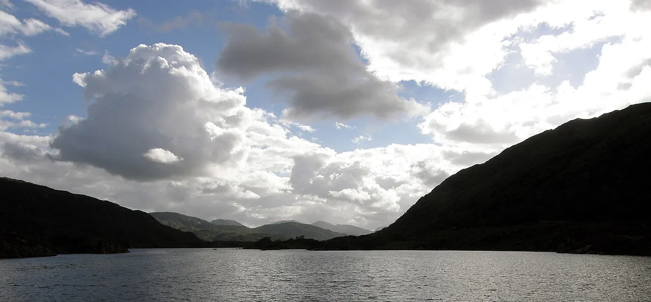
Kerry holds the best-known mountain scenery, with Killarney National Park, MacGillycuddy's Reeks and the lakes around Killarney as a base for day walks as well as the Dingle Way on the peninsula. Wicklow, south of Dublin, combines the Wicklow Way with the monastic valley at Glendalough. The west, including Connemara and the Burren, gives coastal and limestone walking, while the midlands hold long, quiet trails through bog, riverbank and forest.
The midlands deserve more attention than they get. Ireland's Hidden Heartlands alone lists the Beara Breifne Way, the Ballyhoura Way, the Lough Derg Way, the Suck Valley Way, the Leitrim Way, the Cavan Way and the Slieve Bloom Way, plus shorter forest and lakeside loops. That density means a midlands base can serve several routes in one trip with short transfers.
For a Kerry-focused trip, the Dingle Peninsula gives a coastal long-distance route that can be walked in stages from village to village, while the MacGillycuddy's Reeks above Killarney suit fitter hillwalkers. Base in Killarney for the national park and lakes, or in Dingle town for the peninsula's coastal stages. If the national park itself is the draw, our guide to hiking in Killarney sorts the lakeside and valley trails by effort.
Long-distance waymarked trails and who each suits
The Ballyhoura Way is a 90 km (56 mi) linear trail from John's Bridge in North Cork to Limerick Junction in County Tipperary, with a total ascent of about 1,700 m (5,580 ft). It crosses the Golden Vale pastureland and the wooded Ballyhoura Mountains and finishes with views into the Glen of Aherlow. Seven trailheads along the route let you break it into shorter day sections.
The Lough Derg Way runs 69 km (43 mi) from Arthur's Quay in Limerick city, behind the Hunt Museum, to the marina at Dromineer on Lough Derg. The southern section follows canals and riverside passages past O'Briensbridge and Killaloe; the northern end is largely country roads. Walkers wanting water views and gentle gradients should favor the southern half.
The Suck Valley Way is a 124 km (77 mi) loop between Galway and Roscommon along the River Suck, passing the villages of Ballygar, Creggs, Glinsk, Ballymoe, Ballintubber, Dunamon, Castlecoote, Athleague and Mount Talbot. It is best taken over several days, with ringforts, castles and old churches along the banks. The Cavan Way is the opposite: a 22 km (14 mi) linear route from Dowra to Blacklion through the Cavan Burren Park and into the Cuilcagh Mountains, walkable in a day.
The Miner's Way and Historical Trail covers 145 km (90 mi) around Lough Allen, Lough Arrow and Lough Key, typically walked in about five days, and crosses the Corry, Curlew and Bricklieve mountains. Because it can be walked in sections, it suits hikers who want a multi-day route but not a single fixed itinerary.
The Wicklow Way south of Dublin is the classic introduction to Irish long-distance walking, with the Glendalough valley as its best-known stop. If you are weighing it against a coastal route, the Wicklow Way Guide sets out the stages and the Dingle Way page covers the Kerry alternative; both are usually walked over several days with overnight stays in villages along the way.
The Beara Breifne Way begins in West Cork and ends at Blacklion in Cavan, following the 1603 march of O'Sullivan Beara northward. It is the longest of the midlands routes and is best treated as a series of sections, starting on the Miner's Way stretch, which concentrates some of the trail's best views, places to stay and places to eat.
Shorter loops and half-day walks for mixed groups and beginners
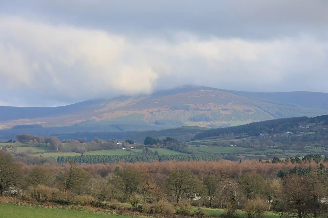
The Slieve Bloom Way is a 71.5 km (44 mi) loop around the Slieve Bloom Mountains in Laois and Offaly, usually walked in three to four days and rising to 460 m (1,510 ft) at Glendine Gap. For a shorter outing, the same area has 17 signposted routes from 4 km to 16 km (2.5 to 10 mi), reached from six trailheads at Glenbarrow, Monicknew, Kinnitty, Cadamstown, Capard and Clonaslee.
The Leitrim Way offers some of the easiest introductions in the country. The 3 km (1.9 mi) Aghacashel Looped Walk and the 12 km (7.5 mi) Crummy Loop follow the eastern edge of Lough Allen, while the 10 km (6.2 mi) Drumleague Lock Loop reaches the floating boardwalk over Acres Lough. The 10 km Drumhauver Bridge Loop suits a novice hiker with reasonable fitness.
Near Cavan, the Killeshandra Loop is an easy 6 km (3.7 mi) walk from the village along the shores of Lough Toon, Tullyguide Lough and Lough Oughter, marked with purple arrows. It leads into Killykeen Forest Park, where a 10 km (6.2 mi) network of trails can extend the day. In Longford, Derrycassin Woods has three walks from 2 km to 3.5 km (1.2 to 2.2 mi), the longest being the Main Avenue Walk with lake views throughout.
Lough Boora Discovery Park, a former peat bog now managed by the Irish Wildlife Trust, has five looped walking paths covering over 50 km (31 mi) of predominantly level parkland, plus an art sculpture route. It is the most reliable choice for families and for a day when you want distance without ascent.
For a single hill with a big view, Tountinna is the highest point of the Arra Mountains in Tipperary, part of the Lough Derg Way. You can drive to the top just outside Ballina on the Portroe Road and use the picnic area to take in views across Galway, Clare, Tipperary and Limerick on a clear day.
Difficulty by terrain: forest tracks, open moorland, bog and coastal cliff paths
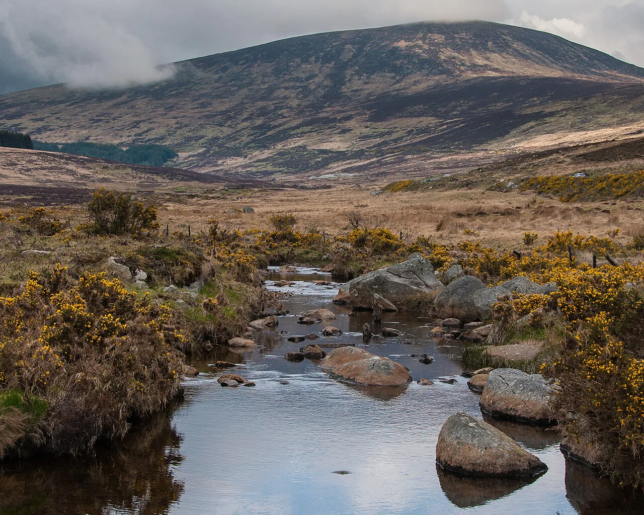
Distance alone misleads in Ireland. Forest tracks and quiet lanes let a fit walker keep a steady pace, but the Ballyhoura Way's mix of tarmac roads, forestry tracks, open moorland and field paths is rated mostly moderate underfoot and slows progress. Expect wet ground after rain on any open section and choose boots with grip rather than light trainers.
Bog and open moorland are the terrain that catches visitors out, because the surface is soft, uneven and often wet even in dry weather. Cliff paths add exposure and wind, and coastal sections can be slippery after rain. On any route where the ground is poor and the weather closes in, turn back at a named point you set before setting out rather than pressing on to the next trailhead.
Distance, ascent and time on the main walking routes
The long midlands routes make a useful ladder of effort. The Cavan Way at 22 km (14 mi) fits a day; the Lough Derg Way at 69 km and Slieve Bloom Way at 71.5 km take several days or a selection of sections; the Ballyhoura Way at 90 km with 1,700 m of ascent is a multi-day walk for steady hikers; the Suck Valley Way at 124 km and the Miner's Way at 145 km are best spread over three to five days.
Plan daily distances around terrain, not a flat average. A day of forest track and lane can be longer than a day on open moorland, where a group with mixed experience is doing well to finish a shorter stage before the weather changes. Build in one short day after your first long stage so the group can adjust.
Getting to trailheads without a car
Many Irish trailheads are served by bus or train, which makes a linear route genuinely practical. The Lough Derg Way starts at Arthur's Quay in Limerick city, behind the Hunt Museum, and ends at the marina in Dromineer, so a city start and a village finish can be linked by public transport. The Ballyhoura Way runs to Limerick Junction in County Tipperary, a rail interchange, and the Cavan Way finishes at Blacklion, so arrange your onward leg before you set out.
Villages along the Suck Valley Way, including Ballygar, Creggs and Athleague, sit on the route itself, so a plan of village-to-village stages with a bus or taxi link back to your base avoids backtracking. For trailheads without a published service, book a local taxi in advance rather than relying on a lift at the end of the day.
Best months to walk and how Irish weather shapes a day's plan
The walking season runs from March to October, which is when most people plan Irish hikes. Rain can arrive as brief showers that pass and give way to sunshine, but the same changeable pattern means a fine morning is no guarantee of a fine afternoon. Start early, keep a waterproof layer at hand and plan the most exposed section of a route for the morning.
On long-distance routes, the weather sets the daily rhythm. Build the day so you reach a village or trailhead by mid-afternoon, carry a map and a fully charged phone, and treat a wet forecast as a reason to choose a forest park loop such as Killykeen or Lough Boora rather than open mountain ground.
What to pack for wet ground and sudden showers
Pack for wet ground first: waterproof boots with ankle support, a waterproof shell and spare socks. Bring food and water for the day, a map and a fully charged phone, as walking guidance for Irish trails recommends. On bog and moorland, gaiters keep peat and water out of your boots; on coastal paths, a windproof layer matters more than insulation until you stop.
Check the access needs of everyone in the party before choosing a route. Irish trails vary widely in surface, and some paths suit every member of a group less well than others, so ask about steps, gates and stiles when booking accommodation and plan a shorter option as a backup.
Where to stay: villages and towns along the trails
Base choice follows the trail. Killarney is the natural base for the national park, the lakes and MacGillycuddy's Reeks, while Dingle town serves the peninsula's coastal stages. For the midlands, Kinnitty sits at the foot of the Slieve Blooms with the Slieve Bloom Way trailhead and guesthouses such as Ardmore Country House, and Mountrath has Roundwood House. On the western rivers, the villages along the Suck Valley Way have B&Bs, some of which pack picnics for guests.
Staying on the route itself saves transfers. Kilfinane, Ballyorgan, Ballylanders and Galbally sit close to the Ballyhoura Way, and Leitrim village and Drumshanbo make good bases for the Leitrim Way loops. Book well ahead for summer weekends, and confirm the walking distance from your door to the nearest trailhead before you commit.
Self-guided versus guided walking holidays
Self-guided walking holidays suit independent hikers who want a fixed route and booked beds but their own daily pace. Operators such as Hillwalk Tours package waymarked routes including the Wicklow Way, the Dingle Way, the Kerry Way and the Beara Way, with hand-picked B&Bs and often luggage transfer between stops. You carry a day pack and follow the waymarks yourself.
Guided groups make more sense on mountainous ground or when you want local interpretation of a route's history and archaeology. Package operators publish what each trip includes and how it is graded; check the grading against your own experience rather than treating a short day as easy if it crosses bog or open mountain.
Mountain and coastal hazards to plan around
Mountain days in Ireland bring low cloud, wind and rain that can arrive quickly on high ground such as the MacGillycuddy's Reeks or the Slieve Blooms. Carry a map and compass, know your escape route to a lower trailhead, and turn back if visibility drops. On coastal and lakeside paths, wet rock and gusts near the water are the main risks, and the response is the same: shorten the day rather than push on.
Bog and moorland bring their own hazards: soft ground, concealed holes and difficult navigation where paths fade. Stick to waymarked lines where they exist and give yourself a generous margin before dark. If you are walking alone on a remote section, tell someone your route and expected finish time.
Where to go with two days versus a week
With two days, pick one area and one or two short routes. A Killarney base gives you lakeside and forest walks plus a valley outing, and a midlands base around Kinnitty or Cavan gives you several loops without long drives. The Killeshandra Loop and Cavan Burren Park fit neatly into a day, and Killykeen Forest Park can fill a second.
With a week, walk a complete long-distance route in stages. The Dingle Way, the Wicklow Way, the Ballyhoura Way or a set of Beara Breifne Way sections each give a coherent week with village stops. An Ireland hiking tours operator can book the beds and transfers, while you keep the daily choices about pace and weather.
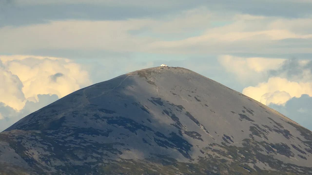
If you have a free day in the west, the Croagh Patrick hike above Westport is a well-known climb with a pilgrimage tradition; it lies in County Mayo, outside the midlands routes described here, and is worth a separate day rather than an add-on to a long-distance itinerary.
Plan Your Visit
Choose Ireland's hike by the days you actually have, then check the terrain rather than the distance. A 22 km Cavan Way in a day, a section of the 90 km Ballyhoura Way as a weekend, or a full week on the Dingle Way or Wicklow Way all give a satisfying trip if the ground matches your experience.
Confirm the current state of your chosen trail with the park or trail operator before booking, keep a shorter forest or lakeside loop in reserve for a wild day, and start early enough to finish the exposed section before the afternoon weather turns.
Explore more Ireland hiking guides
Frequently Asked Questions
How difficult is the Kerry Camino?
The Kerry Camino is a short pilgrim route on the Dingle Peninsula, and its difficulty depends on the daily distance you choose rather than steep climbing. Plan around the terrain: field paths, minor roads and coastal ground can be slow when wet. Use the Dingle Way page to compare it with the longer peninsula route and pick stages that match your fitness.
How many days do you need for the Wicklow Way or the Beara Breifne Way?
The Wicklow Way is usually walked over several days with overnight stops in villages along the route. The Beara Breifne Way runs from West Cork to Blacklion in Cavan and is treated as a series of sections rather than a single trip, so most hikers walk a chosen stretch such as the Miner's Way. Decide your daily distance first, then book beds.
Can you reach Irish trailheads without a car?
Yes on several routes. The Lough Derg Way starts behind the Hunt Museum in Limerick city and finishes at the marina in Dromineer, and the Ballyhoura Way ends at Limerick Junction in County Tipperary, which are practical public transport points. On routes where trailheads are remote, book a local taxi in advance.
When is the best time to hike in Ireland?
The main walking season runs from March to October, with longer daylight and more reliable conditions for long days. Rain can arrive as brief showers at any time, so start early, carry a waterproof layer and plan a shorter forest or lakeside loop for a wet day.
What is the most beautiful mountain scenery in Ireland?
Killarney National Park and MacGillycuddy's Reeks in County Kerry hold the best-known mountain scenery, with the lakes around Killarney as a base for day walks. The Slieve Bloom Mountains in the midlands offer quieter heights, rising to 460 m at Glendine Gap on the Slieve Bloom Way.
Sources
Trail notes for your next trip
Optional updates when we add or revise hiking guides.
You might also like
Continue reading
More guides you'll find useful