Dingle Way: 179 km Trail Stages, Terrain and Lodging
The Dingle Way is a 179 km (111 mi) waymarked trail around Ireland's Dingle Peninsula, walked in eight stages over 8 to 9 days.
On this page
The Dingle Way is a 179 km (111 mi) waymarked trail that loops around the Dingle Peninsula in County Kerry, Ireland, starting and finishing in Tralee and normally walked in eight stages. It suits hikers who want long days of coastal walking with a village, a B&B and a pub at the end of each one, rather than high passes and hut nights.
The route strings together beaches, quiet lanes, forest tracks and cliff paths beneath the Blasket Islands, and apart from one climb over a spur of Mount Brandon it stays low. That makes it a good first long-distance trail, though wind, rain and road sections shape the experience as much as the distance does.
Who the Dingle Way suits
This is a trail for walkers who like a settled rhythm: walk six to eight hours, arrive in a village, eat, sleep, repeat. Every stage ends somewhere with beds and food, so you carry only a day pack if you use a baggage service, and you never need a sleeping mat or stove. There is no Alpine exposure, no glacier and no via ferrata, and the navigation is waymark-following rather than compass work.
It is less suitable if you want sustained mountain days. The single climb over the Mount Brandon spur is the only place the route approaches real height, and elsewhere it is undulating rather than steep. Hikers chasing bigger ascents tend to look at the Kerry Way instead, which trades the village-to-village coastal rhythm for longer stretches in the hills. Those wanting to compare options beyond Ireland can also weigh hiking in Killarney, where national park trails offer another take on the same mountain-day decision.
The eight stages at a glance
The official route divides into eight stages, each ending in a place with accommodation: Tralee to Camp, Camp to Annascaul, Annascaul to Dingle, Dingle to Dunquin, Dunquin to Feothanach, Feothanach to Cloghane, Cloghane to Castlegregory and Castlegregory back to Tralee. Matching your lodging bookings to these endpoints is the single most useful planning step, because it keeps daily distances consistent.
Most reasonably fit adults take eight to nine days for the full circuit, which maps neatly onto the eight official stages with a rest day in Dingle or a short day where you want one.
Stages 1 to 3: Tralee to Dingle
The northern arc leaves Tralee and follows the coast through Camp to Annascaul, then turns toward Dingle town. It is the gentlest introduction to the trail: low ground, a mix of lanes and strand, and the fishing village of Annascaul as a natural lunch stop. Dingle is the obvious place to split the route, with the widest choice of beds, restaurants and shops on the peninsula.
Expect a fair amount of tarmac on the approach into Dingle. Roughly 48 percent of the whole trail follows paved road, and nearly half of that road walking is behind you by the time you reach the town, so break in your footwear on road as well as trail before you start. The lanes are mostly quiet, but a few stretches carry traffic and need a single-file walk on the correct side.
Stages 4 and 5: Dingle to Feothanach
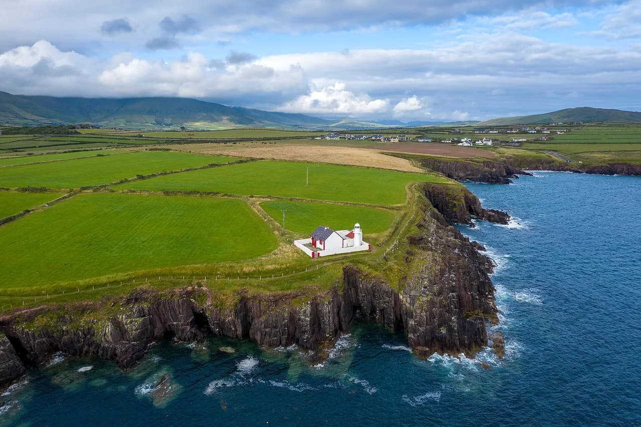
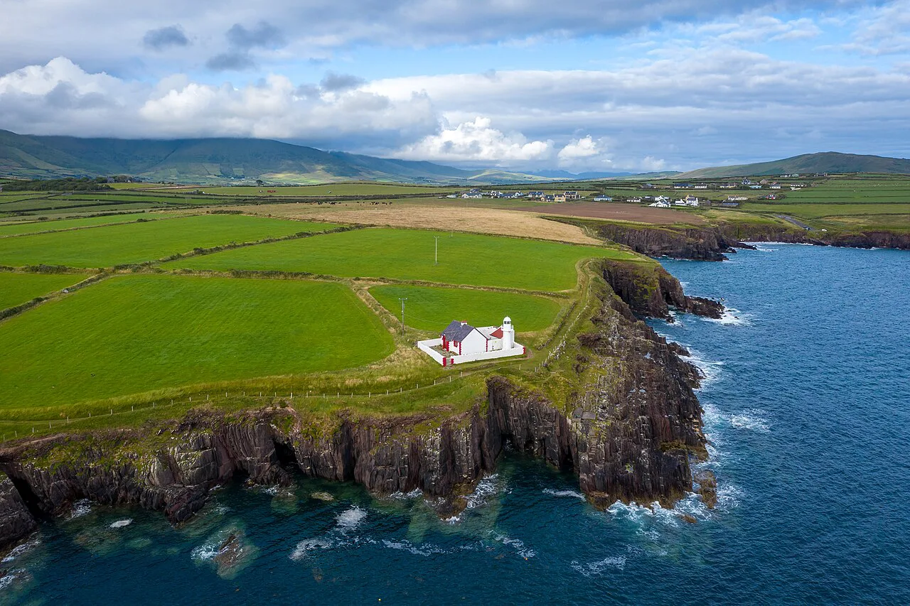
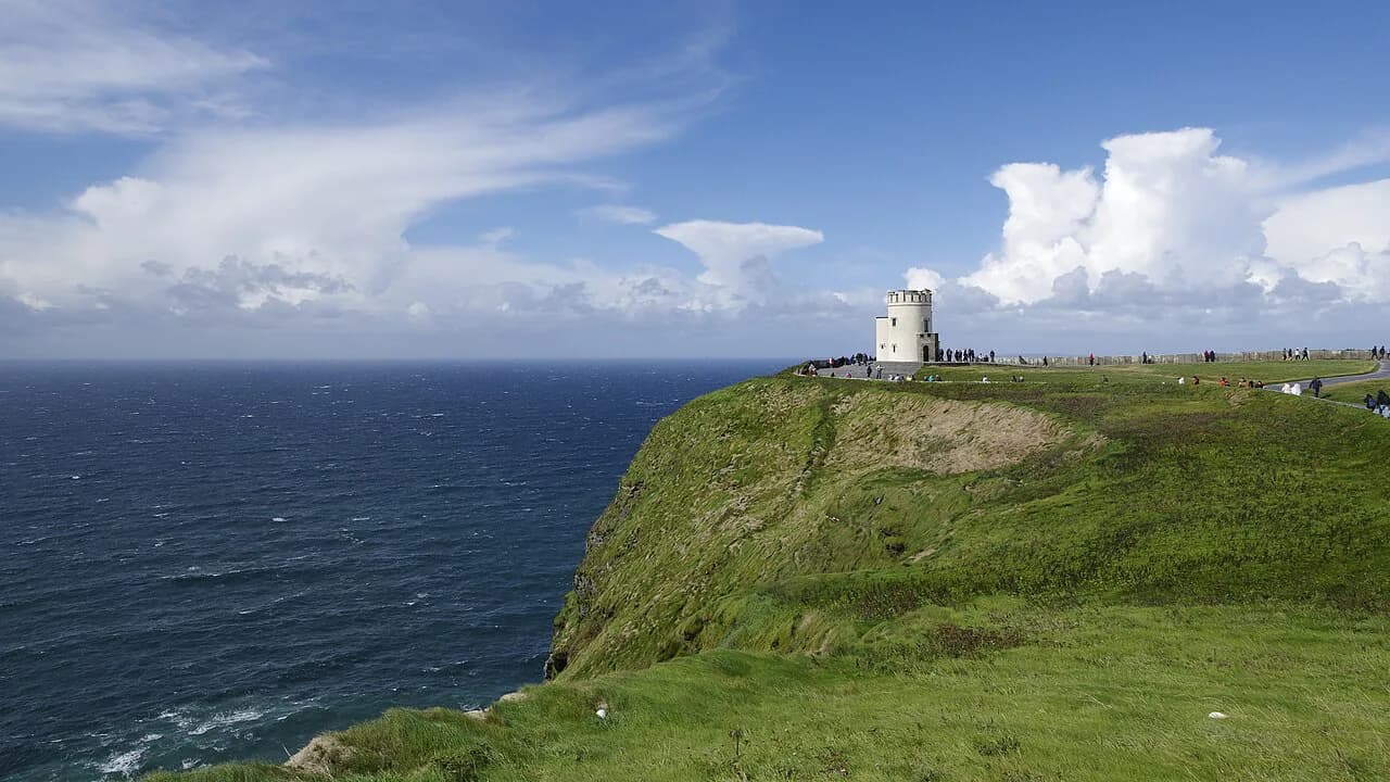
The Atlantic side is the scenic heart of the walk. From Dingle the route passes Ventry and continues to Dunquin, where the cliffs face the Blasket Islands across the sound, then rounds Slea Head and the Coumeenoole and Dunmore Head area before dropping to Feothanach. This is where you want a clear day and a camera, and where wind off the Atlantic is strongest.
Cliff edges here are unfenced in places and the ground can be wet and slippery after rain, so keep back from the lip and give yourself time rather than pushing for a village before dark. The beaches on this side also make up part of the roughly 17 percent of the route that crosses sand, which is firm going at low tide and soft and slow higher up the strand.
Stage 6: the Mount Brandon spur
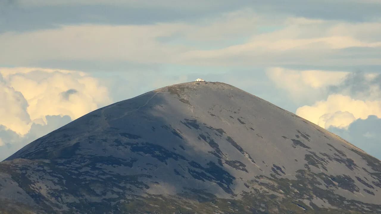
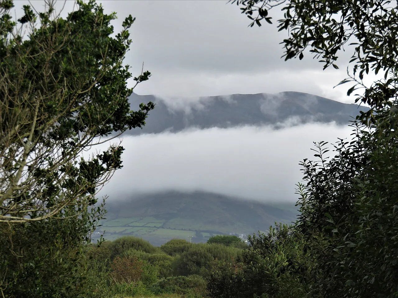
Feothanach to Cloghane is the mountain day and the route's high point, crossing a spur of Mount Brandon at about 650 m (2,132 ft), though the trail itself does not go higher than this anywhere. Everywhere else it stays under 350 m (1,148 ft), so this is the one stage where cloud, wind and wet ground genuinely change the plan. In poor visibility the sensible response is to wait for a clearer window or take the lower road option into Cloghane rather than push over the spur.
Even in summer, carry a waterproof shell and a warm layer for this stage; conditions on the spur can differ sharply from the coast you left in the morning. Snow and ice on the pass are unusual but possible early and late in the season, and afternoon cloud build-up is common.
Stages 7 and 8: Cloghane to Tralee
From Cloghane the trail runs around Brandon Point and down through Castlegregory, where the long strand of the Maharees gives easy, level walking with views across to the Shannon estuary. The final stage turns inland past Minard Castle and back to Tralee, closing the circuit. These closing days are lower and faster than the Atlantic side, which makes them a good place to bank time if you are running behind.
Sand dominates the Castlegregory stretch, so gaiters and shoes that drain well matter more here than boots do. The inland finish on minor roads is a reminder that this is a low-level trail with real road content rather than a pure mountain path.
Distance, ascent and terrain
In total the route covers 179 km (111 mi) with one climb to about 650 m (2,132 ft) and otherwise modest undulation. A full-trail itinerary typically means six to eight hours of hiking per day, with the longest days on the Atlantic side and the shortest on the Maharees.
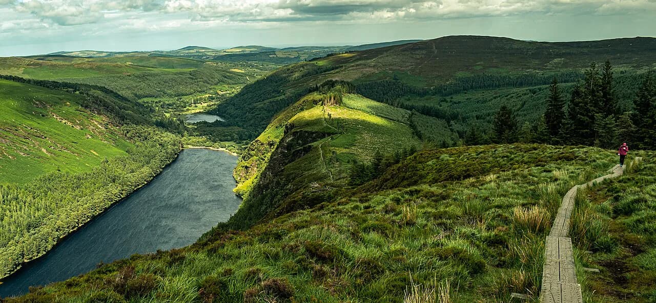
Terrain breaks down into forest tracks, boardwalks, beach crossings, cliff paths and minor roads, with about 48 percent paved and about 17 percent sand. Practically, that means light boots or sturdy trail shoes with decent tread, a spare pair of socks for beach days, and a pace that assumes road underfoot for long stretches rather than soft turf.
Difficulty and daily hours
The Dingle Way is rated moderate overall. The real challenges are wind, wet ground and cliff ascents on particular days rather than sustained steepness, and full-trail itineraries run six to eight hours of walking daily. Fewer days means longer days, so if eight or nine days feels too many, a shortened or best-of version trims the least scenic sections instead of forcing longer distances.
Trailhead and access
Tralee is the start and finish, and it is reachable by train from Dublin Heuston and from Cork via Mallow, with national buses serving the town as well. Kerry Airport sits close to Tralee and Killarney, and local link services run onto the peninsula for walkers who want to skip a section or return to a village. Without a car, the train-and-bus route via Tralee is the realistic way to do the full circuit.
Driving gives you flexibility for staging days and side trips, and car hire in Ireland is generally competitive against public transport for groups. If you drive, plan where the car sits for the days you are walking, since the route is a loop and you can return to Tralee at the end.
Huts and lodging on the route
There are no mountain huts on the Dingle Way. Instead, each stage village has B&Bs, guesthouses, self-catering, glamping and camping, and the trail's own accommodation listings are organised by stage so you can book village to village. In high season, especially around Dingle town, beds fill early, so book the whole chain once your stage split is fixed.
Self-guided packages typically bundle accommodation, breakfast, daily luggage transfers and route guidance in an app, with backup support during the day. That suits walkers who want the logistics handled; independent walkers can arrange the same beds and use a local baggage transfer, but should confirm each provider's coverage before relying on it.
When to go
Late March and April bring quiet trails, mist and plenty of green, while summer offers the most reliable weather and warmer temperatures. September and early October give autumn color and fewer walkers, though the chance of mist and rain rises. Coastal winds keep midges largely out of the picture, which is a real advantage over inland Irish trails in high summer.
Road and beach walking
Almost half the route is on tarmac and about a sixth on sand, so plan footwear and pace around that split rather than around mountain terrain. Road walking is mostly on quiet lanes but includes busier stretches where you need to walk single file, keep left and stay visible in mist and low light. Beach sections are fastest at low tide near the waterline and slowest on soft upper sand.
Safety on the coast
The hazards here are wind, wet ground badly cut up by livestock, unfenced cliff edges on the Dunquin and Slea Head side, and cloud on the Mount Brandon spur. Carry a waterproof map or charged phone with offline maps, tell your lodging where you are going, and turn back or take the low road when the spur is in cloud. On beaches, watch for soft sand and incoming tides rather than treating the strand as a guaranteed fast surface.
Dingle Way or Kerry Way
The trade-off is rhythm against altitude. The Dingle Way gives you coastal villages, short transfers and daily comforts; the Kerry Way gives longer mountain stretches and fewer settlements. If you want the social, inn-to-inn feel and the Blasket views, choose Dingle; if you want bigger climbs and quieter hills, choose Kerry. Both are covered in the wider guide to hiking in Ireland.
Hikers who enjoy Ireland's long-distance trails often pair this route with others in the same season. The Wicklow Way offers a very different, more wooded mountain experience closer to Dublin, and the Causeway Coast Way in the north brings clifftop coastal walking of a similar character.
Practical kit and daily planning
Pack a waterproof shell and trousers, light boots or trail shoes that grip wet road and rock, spare socks for beach days, a warm mid-layer for the Mount Brandon stage and cash for small places that may not take cards. Keep daily distances honest: the terrain is not hard, but six to eight hours in wind and rain is tiring, so plan a short day after the mountain stage.
Plan Your Dingle Way Walk
Start by fixing your stage split against the eight official endpoints, then book beds village to village before you sort transport. Tralee by train and local bus keeps the loop car-free, and a mid-week rest day in Dingle makes the second half far more enjoyable.
Once the calendar and lodging are set, the rest is weather-watching: pick your window for the Mount Brandon spur, keep the Atlantic cliff days flexible and treat road and beach sections as part of the walk rather than an interruption.
Frequently Asked Questions
How long does it take to walk the Dingle Way?
The full 179 km (111 mi) circuit takes an average of eight to nine days for a reasonably fit adult, which matches the eight official stages with a rest day. Shorter itineraries trim stages rather than lengthening days.
How difficult is the Dingle Way?
It is rated moderate. The route stays low apart from one climb to about 650 m (2,132 ft) over a Mount Brandon spur, and the real challenges are wind, rain and road walking rather than sustained steepness.
How much of the Dingle Way is on road?
About 48 percent of the trail follows paved road and about 17 percent crosses beaches, with the rest on forest tracks, boardwalks and cliff paths. Much of the road walking is behind you by the time you reach Dingle town.
Where does the Dingle Way start and finish?
It starts and finishes in Tralee, County Kerry, looping around the Dingle Peninsula through Camp, Annascaul, Dingle, Dunquin, Feothanach, Cloghane and Castlegregory. Tralee has rail and bus connections for car-free walkers.
Do you need to book accommodation on the Dingle Way in advance?
Yes, especially in high season and around Dingle town. Every stage ends in a village with B&Bs, guesthouses or camping, and booking the whole chain once your stage split is fixed is the safest approach.
Can you wild camp on the Dingle Way?
Plan around established camping and guesthouses along the stage villages. The trail's own site lists accommodation by stage, so use that as your starting point for each night.
Which is better, the Dingle Way or the Kerry Way?
The Dingle Way suits walkers who want coastal villages, daily comforts and Blasket views. The Kerry Way suits those who prefer longer mountain stretches and quieter hills, so choose by whether you want village rhythm or bigger climbs.
Sources
Trail notes for your next trip
Optional updates when we add or revise hiking guides.
You might also like
Continue reading
More guides you'll find useful