Hiking in France: Best Trails, Regions and When to Go
Choose a French hiking region by fitness, season and time available, from the GR20 in Corsica to the cirques of the Pyrenees and the Verdon Gorge.
On this page
France rewards hikers who match the trip to their legs and their calendar rather than chasing the single most famous name. A cirque in the Pyrenees can be reached in an hour from a village car park, while the GR20 in Corsica asks for two weeks of sustained mountain effort. Choosing between those two extremes is the real planning decision, and everything else follows from it.
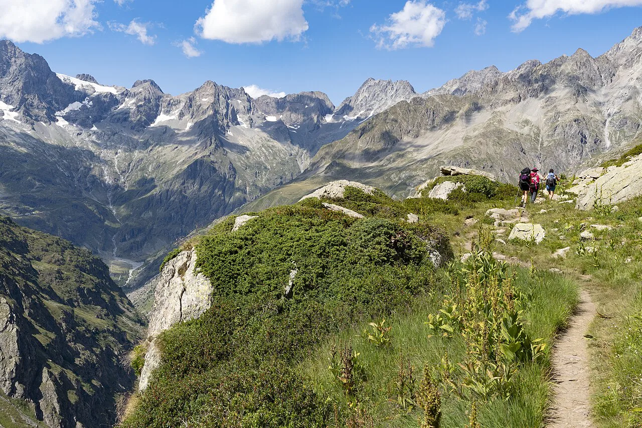
The country splits into distinct hiking regions, each with its own terrain, season and style of lodging. Corsica is granite and exposure, the Pyrenees are limestone walls and waterfalls, the Alps are high passes and perched villages, and the long coastal and ridge trails of Brittany and the Jura trade altitude for atmosphere. Sorting your options this way makes the shortlist obvious far faster than reading a flat list of trails.
How to pick a region by fitness, time and season
Start with the number of consecutive days you can walk, because that single figure eliminates most of the country. A weekend suits the Verdon Gorge's riverside paths or a section of the Brittany coast trail, while a fortnight opens the two long thru-hikes, the Corsican traverse and the Stevenson Trail in the Cévennes. Days in the middle, roughly three to eight, fit the Queyras Tour, the Jura ridges and the Cézallier Plateau.
Season narrows it further. High mountains hold snow into early summer and again from autumn, so the Alpine and Pyrenean passes belong to the warmer months, while low ridges and coasts stretch longer at each end of the year. The Verdon is best walked outside the summer heat, with early starts or a shoulder-season visit giving cooler air on the exposed canyon paths.
Fitness is the third filter, and it is less about raw distance than about what the ground does underfoot. Gentle ridgelines with pasture and forest suit most walkers, steep cirque paths and canyon trails with narrow, exposed sections ask for sure footing, and the Corsican traverse demands sustained scrambling day after day. Be honest about which of those three you have actually done before.
If you want the wider continental picture before committing to a single country, the best hikes in europe run from Iberian coast paths to Balkan ridges and give a useful sense of how French terrain compares. Most hikers who look at that list still come back to France because of how compactly it packs the same range of ground.
Corsica: the GR20 and what the island demands
The GR20 crosses Corsica from north to south over roughly 180 km (about 112 miles), and the standard plan gives it 12 to 15 days. It is rated difficult, and that rating is about the terrain rather than the distance: jagged ridgelines, mineral rock, icy natural pools and long days of steep ground. Treat it as a full expedition and build fitness and pack weight well before you set out.
Corsica rewards that effort with a route that changes character constantly, shifting from lunar rock to green valleys with panoramic views at every turn. The trade-off is commitment: once you are on the traverse, the stages set your rhythm, and the usual pattern is to sleep in mountain accommodation along the way rather than descend to the coast each night. Plan the traverse as one continuous trip rather than a series of day hikes. A dedicated GR20 guide is the right place to work out stage lengths.
If two weeks on a ridge is more than you want, Corsica still works as a day-hiking island, with valley walks and shorter climbs that share the same granite scenery without the exposure. Base yourself somewhere central and use the island's roads to reach trailheads, then treat the traverse as something to build toward on a future trip.
The Pyrenees: three cirques from Gavarnie and Gèdre
The Hautes-Pyrénées around Gavarnie and Gèdre is the most efficient mountain base in France for short, spectacular walks, because three high cirques sit within a short drive of one another. A cirque is a deep bowl ringed by cliffs and waterfalls, and each of the three has a different approach and a different level of effort. Staying in or near Gavarnie puts the most famous of them within walking distance of your bed. If you want to see how these cirque walks compare with options across the border, hiking in the Pyrenees: best trails, bases and seasons covers the Spanish side too.
The Cirque de Gavarnie is the headline: a granite wall close to 1,000 m (about 3,280 ft) with waterfalls pouring off its lip, reached by an easy track out of the village that takes roughly an hour to the best viewpoint and another hour to continue toward the falls. Most walkers stop at the hotel on the way, and the path beyond it is where the crowds thin. The last stretch toward the cascade climbs more than the first hour suggests, so carry water and give it time.
Cirque de Troumouse is the drive-and-walk option, with an upper toll road that climbs close to the cirque and leaves only a short stroll to the rim, while walkers can also climb to it on foot in around two hours. The toll road costs €10 and the gate is not always staffed early in the morning, so keep small notes ready. Once there, the reward is a wide arc of peaks with sheep grazing the green floor.
Cirque d'Estaubé is the quietest of the three and the easiest to combine with another, since it can be walked in a morning before an afternoon at Troumouse. The route crosses the Gloriettes dam, a slender concrete wall holding back a flat turquoise lake that makes a good picnic stop, then climbs over a ridge for about an hour before dropping into the valley. Five walkers shared the path over four hours on one summer day, which is part of its appeal.
The Brèche de Roland, a deep notch in the cliffs above Gavarnie, is the local step up from the cirque walks and the classic way to cross toward Spain. It suits walkers who have already done one of the cirques and want more height and more time on foot, and it is best treated as a full day with an early start. Snow can linger on the upper ground into early summer, so ask at the tourist office in Gavarnie before committing.
The Alps: Queyras and the Verdon Gorge compared
The Queyras Tour in the Hautes-Alpes runs about 120 km (75 miles) over 6 to 8 days at a moderate level, winding through mountain passes, alpine lakes and perched villages with views toward the Italian peaks. It is markedly less crowded than the Tour du Mont-Blanc, which makes it a strong first multi-day trek for someone who wants huts and villages rather than a tent. Shorter versions of four or five days also work if you link the best stages.
The Verdon Gorge in Alpes-de-Haute-Provence is the opposite experience: one to three days, intermediate level, along limestone cliffs and turquoise water on trails such as the Sentier de l'Imbut and the Sentier Martel. The route follows the river's edge for stretches and includes narrow, exposed passages where sure footing matters and hands may be useful. Heat is the other factor, which is why early starts and shoulder-season dates make the canyon far more enjoyable.
Choose Queyras if you want altitude, a multi-day rhythm and village-to-village walking with a pack. Choose the Verdon if you have a long weekend, want drama in a confined space and can move fast over rough ground. Doing both in one trip means a long transfer across the south of France, so most hikers pick one and give it their full attention. If you are weighing a hut-to-hut trek against high Alpine ground elsewhere, hiking in the Dolomites offers a comparable multi-day rhythm to test your preference.
Long-distance routes: GR34, the Jura Crest Trail and the Stevenson Trail
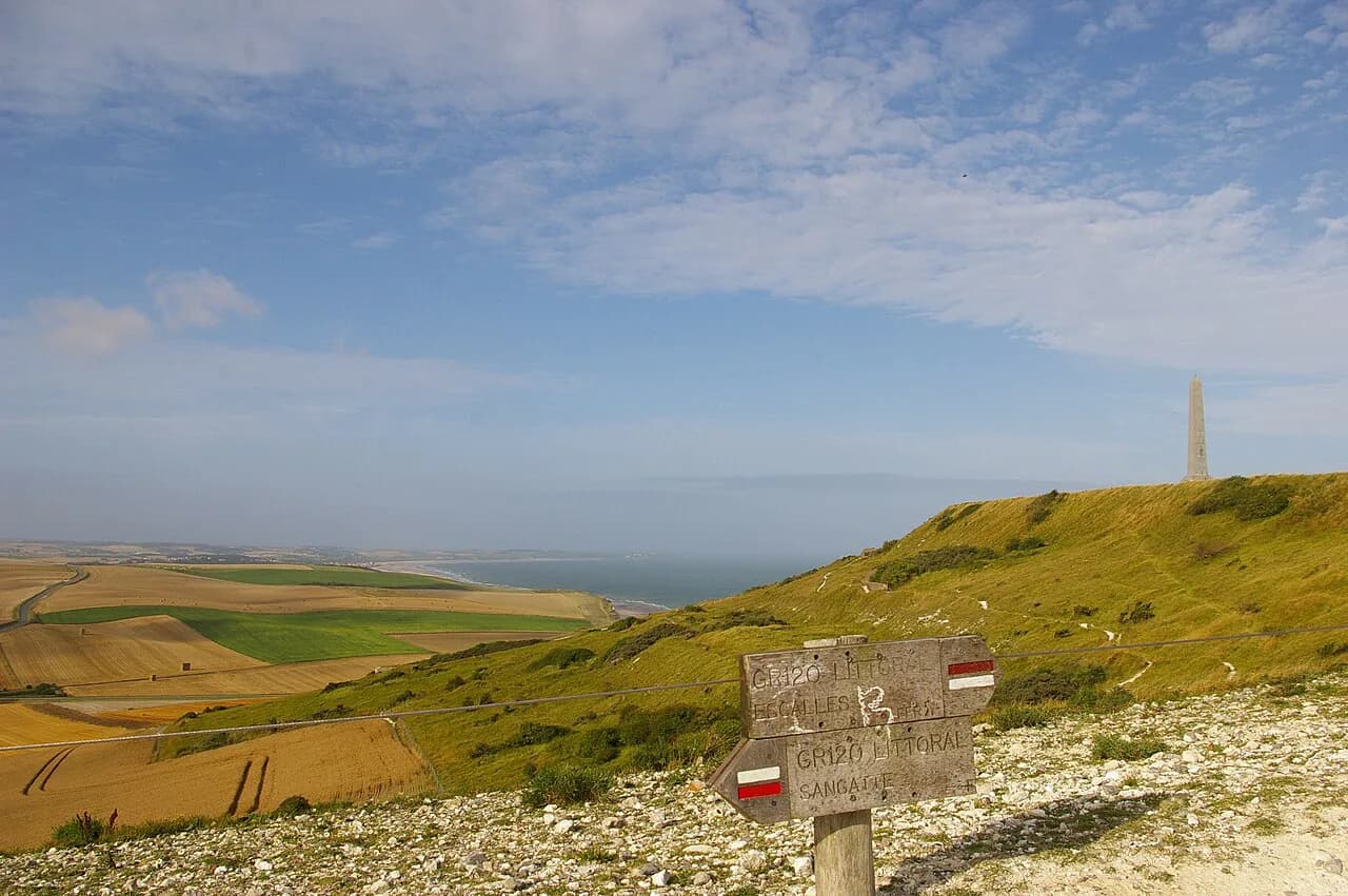
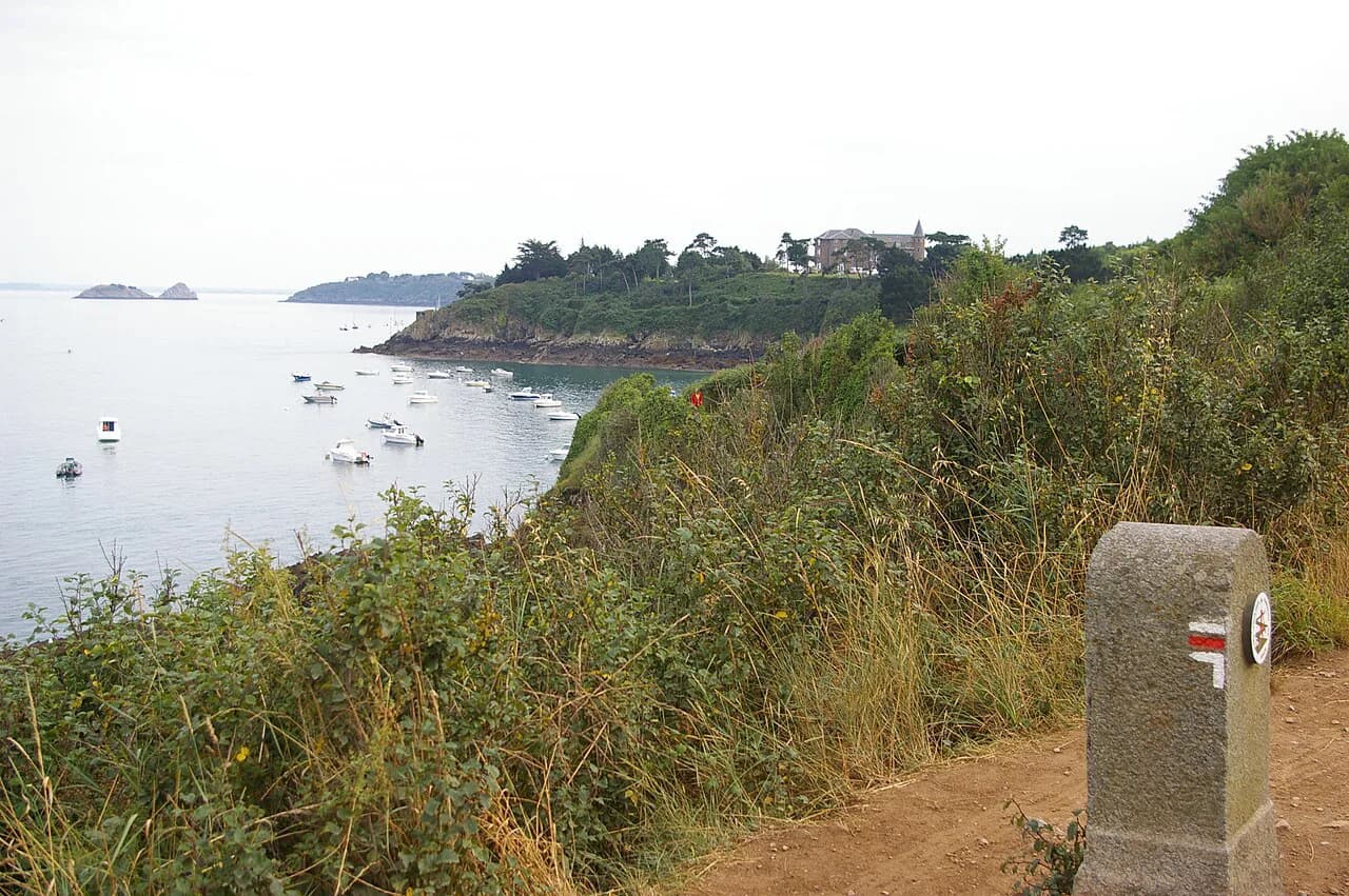
The GR34 follows the Brittany coast past pink granite cliffs, sea spray, old lighthouses and deserted coves, and it is walked in variable stages with something for every level. Because it is a coastal path, you can take two or three days, finish in a harbour town and eat a crêpe, then go home. Tides and weather shape the coast more than altitude does, so a flexible plan beats a rigid one.
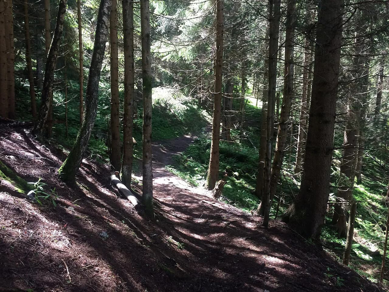
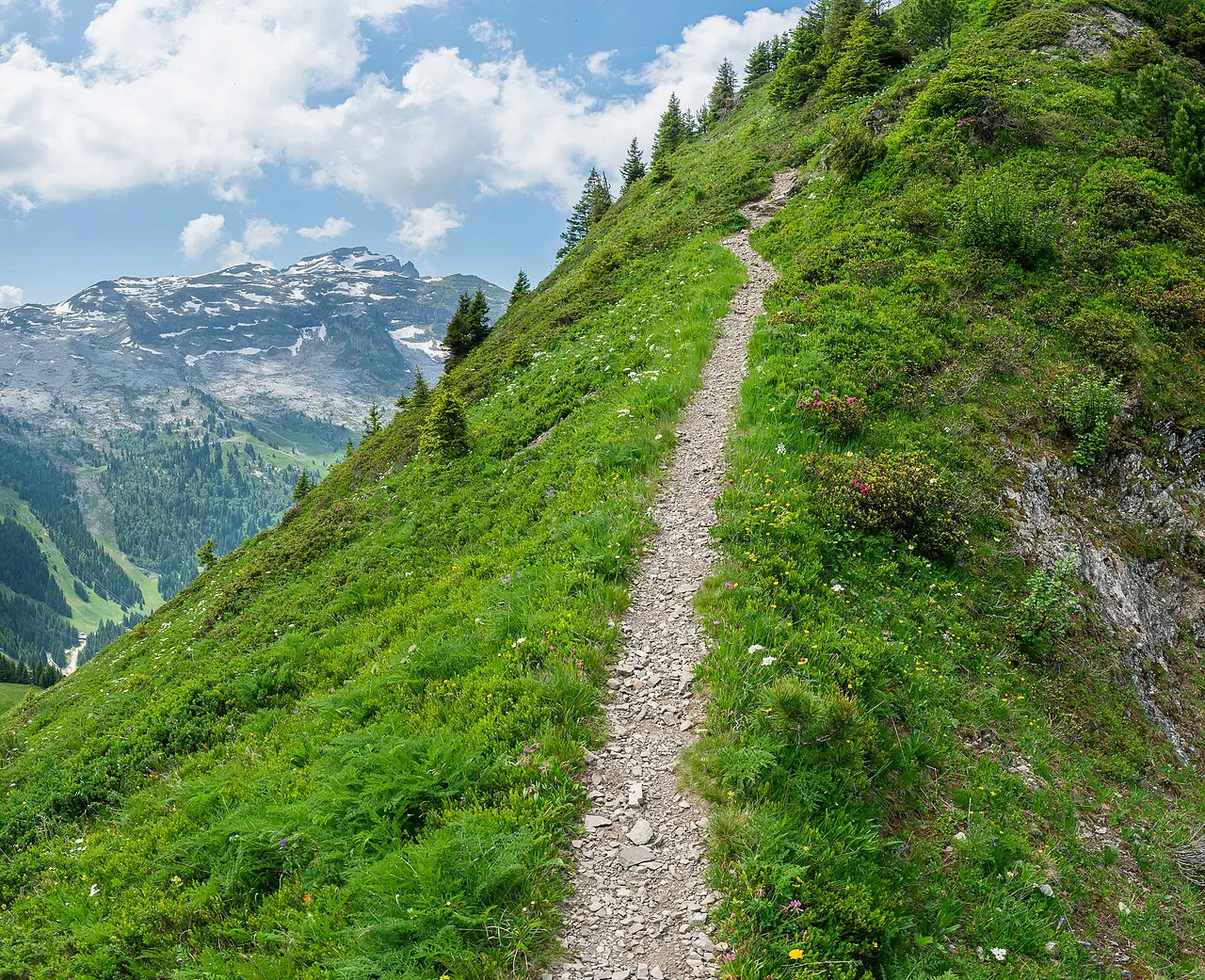
The Jura Crest Trail, spanning the Doubs and Jura, is the low-crowd alternative to the Alps: gentle ridgelines, deep forests, quiet pastures and, on clear days, long views toward the Alps. Two to five days is enough to sample it, and the atmosphere changes completely with the seasons, turning still and snow-dusted in winter. It suits walkers who want silence and soft ground rather than summits and exposure.
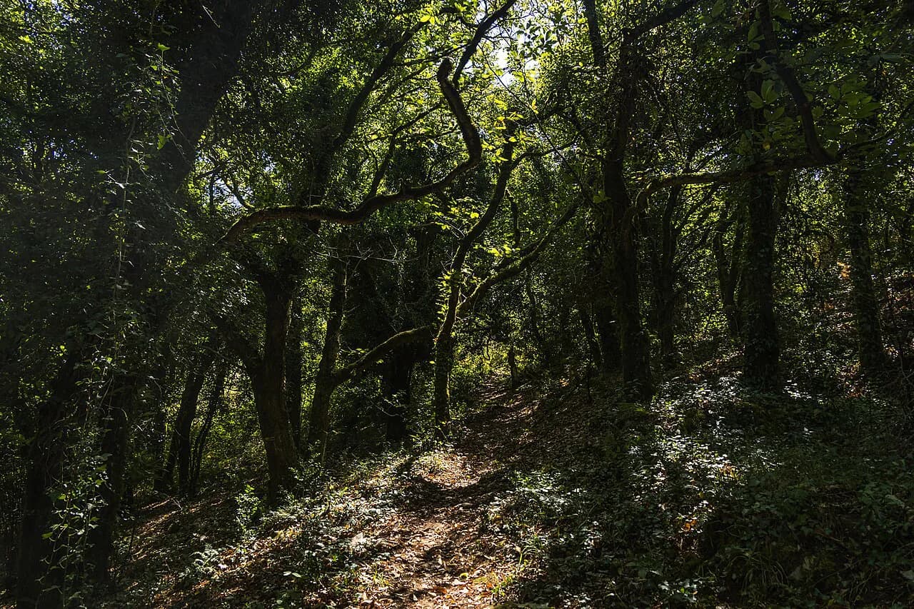
The Stevenson Trail on the GR70 crosses the Cévennes over about 12 days at a moderate level, following the route Robert Louis Stevenson took with his donkey in 1878. It runs through chestnut forests, stony plateaus, rivers and timeless villages, with long stretches that feel genuinely off-grid. It is the best French choice for a slow, literary long walk where the landscape rather than the altitude sets the challenge.
Quieter country: the Cézallier Plateau
The Cézallier Plateau, between the Cantal volcanoes and the Livradois mountains, is an ocean of grass with no ski resorts and no dramatic peaks, walked over three to five days at an easy to moderate level. Trails fade into the horizon, Salers cattle outnumber hikers, and you sleep in stone shepherd huts known as burons. The lack of waymarks in places means you need to be comfortable reading a map on open ground.
Take this option if you want wide skies, wind-swept ridges and a contemplative pace rather than a summit list. It is also the most forgiving French region for a first multi-day trip with a tent or a hut-to-hut plan, because the daily distances stay modest and the terrain is open. Weather rolls across the plateau quickly, so pack for wind and rain even in summer.
Reaching trailheads and moving between regions
French hiking regions sit far apart, so the practical rule is one region per trip rather than three. Corsica needs a ferry or a flight to the island and then a car or local transport to the trail, the Pyrenees cirques are reached by road from Lourdes or Pau, and the Queyras and Verdon both reward having a vehicle for the final approach to the trailhead. Booking the long transfer first makes the rest of the plan fall into place.
On the long routes, the pattern is to travel to the start, walk from accommodation to accommodation, and arrange a return from the finish rather than backtracking. Coastal and lowland routes make this easy because villages with transport sit at the end of each section, while the high traverses concentrate the exits at a few points. Decide which direction you will walk before you book the outward journey.
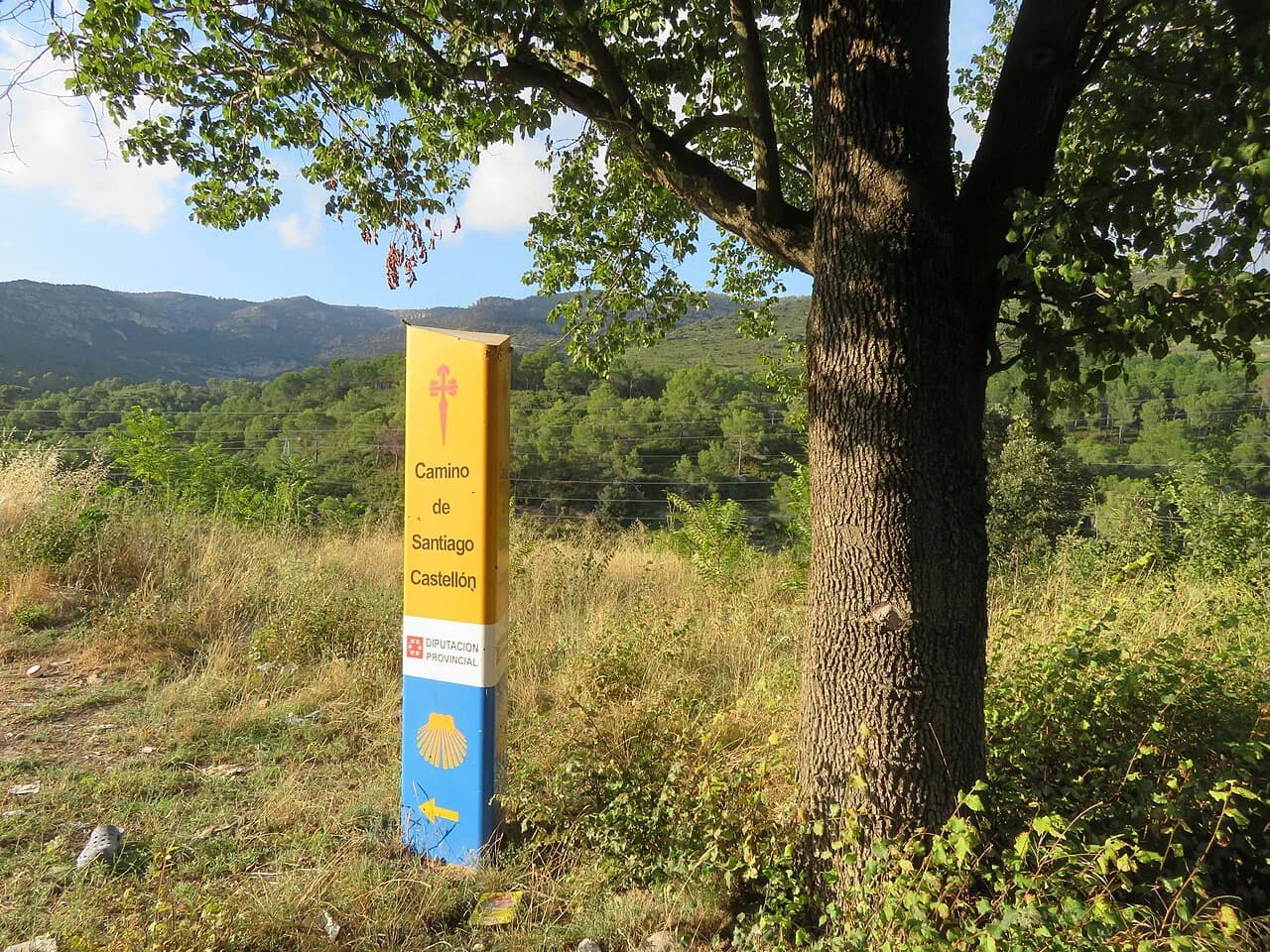
For anyone extending a French trip toward Spain, the Camino de Santiago is a natural continuation, with routes running west across the north of the country and pilgrim infrastructure along the way. It suits walkers who prefer a steady, well-supported long path over rough mountain ground, and the Camino Frances is the busiest of the routes if you want company.
Huts, gîtes and how long-distance stages work
French long-distance walking leans on two kinds of lodging: mountain huts on the high routes, where you eat and sleep under one roof, and gîtes in villages, which are simple self-catering or half-board houses on the lower paths. The Queyras Tour works well in this system because stages link villages and huts, and the Cézallier uses burons in the same way. Book beds ahead on the popular stretches, and carry a sleeping liner for hut nights.
Plan stages around where you can sleep rather than the other way around, and keep one shorter day in reserve for weather or tired legs. On high routes, daily ascent matters more than distance, so a short day with a big climb still counts as a hard one. On lowland routes such as the Stevenson Trail, distance and foot condition become the limiting factors.
Food is part of the planning. Highland huts serve set meals, village gîtes often do half board, and on quieter plateaus you may need to carry several days of supplies from the last town. Carrying cash is sensible in the smaller places, and a stove widens your options on routes where resupply is thin.
When to go, month by month and by region
Summer is the reliable window for the high Alps and the Pyrenees, when the passes are clear and the cirque paths are open, but it is also when the popular villages are busiest. Late spring and early autumn give quieter trails and cooler air, with snow still possible on the highest ground in early summer and again from autumn. Build a weather day into any high-mountain plan.
Corsica's traverse is a warm-month undertaking, and the island's granite ridges are exposed, so heat and afternoon storms both belong to the planning. The Queyras and Verdon follow the same logic, with the canyon in particular best walked outside peak summer heat and with an early start. Coastal Brittany and the Jura stretch longer at each end of the season, making them good choices for a spring or late-autumn break.
The Cézallier is at its best when the grass is green and the days are long, while the Stevenson Trail and the Jura both reward walkers who accept cool, changeable weather and fewer people on the path. If your dates are fixed by work or school holidays, pick the region to fit the month rather than the other way around.
How to choose: a decision guide
If you have two weeks and strong mountain legs, the GR20 in Corsica is the obvious headline trip, with sustained scrambling and a full north-to-south traverse. With one week and moderate fitness, the Queyras Tour or the Stevenson Trail gives you a complete long walk without the extreme terrain. With a long weekend, the Verdon Gorge, a Brittany coastal section or a single Pyrenean cirque delivers the scenery without the commitment.
For a first multi-day trek in France, the Cézallier Plateau, the Jura Crest Trail and the Queyras are the three friendliest options, each with modest days and accommodation at the end of them. For someone who wants the biggest views for the least walking, the Gavarnie cirque and the Troumouse road access are hard to beat. If solitude matters more than scale, the Jura and the Cézallier are the quiet picks, with the Alps nearby when you want a bigger day.
Whichever you choose, book the long transfer and the first and last nights first, then shape the walking days around them. That order keeps a French hiking trip realistic, whether it is a fortnight on a Corsican ridge or an afternoon below a Pyrenean waterfall.
Plan Your Visit
France works as a hiking country because it offers a complete range of trips rather than a single famous trail. Decide how many days you have, how much exposure you are comfortable with and which months you can travel, then pick one region and give it your time. The three Pyrenean cirques are the easiest big-scenery entry point, the Queyras and Corsica are the multi-day projects, and the Jura and Cézallier are the quiet alternatives.
Check access roads and hut opening periods close to your dates, and take local advice on snow and river levels after heavy weather from the relevant national park, hut operator or tourism office. Then pack light, plan shorter days than you think you need, and start early on the big ones.
Frequently Asked Questions
Which hike in France is the most famous?
The GR20 in Corsica carries that reputation: a north-to-south traverse of roughly 180 km (about 112 miles) usually walked over 12 to 15 days on rough, exposed granite terrain. In the Pyrenees, the Cirque de Gavarnie draws the day-walkers thanks to its near 1,000 m (about 3,280 ft) wall and waterfalls, reached in about an hour from the village.
Which French region suits a beginner?
The Cézallier Plateau in the Auvergne is the gentlest introduction, with three to five days of open grass, modest daily distances and simple shepherd-hut lodging. The Cirque d'Estaubé and the lower Gavarnie track in the Pyrenees also work well for a first mountain day, and the Jura Crest Trail offers soft ground without high exposure.
How many days do you need for Corsica's GR20?
Plan on 12 to 15 days for the full north-to-south route, which is what most guided and self-organized attempts use. If that is too much vacation time, walk a stage or two as day hikes from a valley base and treat the full traverse as a separate, later trip.
What is the best month to hike in France?
June and September are the sweet spots for most regions, because high passes are usually clear of the worst snow and the summer crowds have not peaked or have already thinned. For the Verdon Gorge and Corsica, aim for cooler shoulder-season weeks rather than the height of summer heat.
Can a beginner hike Mont Blanc?
The Tour du Mont-Blanc is a long-distance circuit rather than a single summit and is often walked by fit beginners with preparation, but it involves sustained days and high passes. The Queyras Tour is the friendlier alternative for a first week-long French trek.
Sources
Trail notes for your next trip
Optional updates when we add or revise hiking guides.
You might also like
Continue reading
More guides you'll find useful