England Hiking: Long-Distance Trails, National Parks and Coast Paths
Plan England hiking with real distances and ascents: long-distance trails, national park walks, coastal paths, seasons and how to reach the trailhead.
On this page
England hiking covers three quite different kinds of trip: continuous long-distance trails that cross whole regions, day routes in national parks, and coast paths that link fishing villages along the shore. Choosing between them comes down to how many days you can give, how much climbing you want, and whether you prefer a linear route with a fixed finish or a loop you can walk in a single afternoon.
The scale matters more than the map suggests. A long-distance trail may run for well over a hundred miles, while a satisfying national park day can be finished before the light fades. This guide groups the options by the decision you are making, so you can pick a full route, a multi-day section, or a single day out with the numbers in front of you.
England hiking: what the trails offer and who each suits
Long-distance trails suit walkers who want a journey with a start and finish in different places, usually over a week or more, staying in inns, campsites or villages along the way. National park day routes suit anyone with a car or good bus access who wants a lake, moor or ridge without committing to a full itinerary. Coast paths fall between the two: they can be walked end to end over weeks, but they also break naturally into village-to-village days of a few hours.
Fitness demands vary far more than the distances imply. A valley-level trail can cover 70 miles or more without serious climbing, while a short moorland or mountain day can take as long as a much longer flat walk. Compare total ascent and terrain, not just mileage, when you shortlist. For a wider view of options across the continent, the best hikes in europe include several English routes.
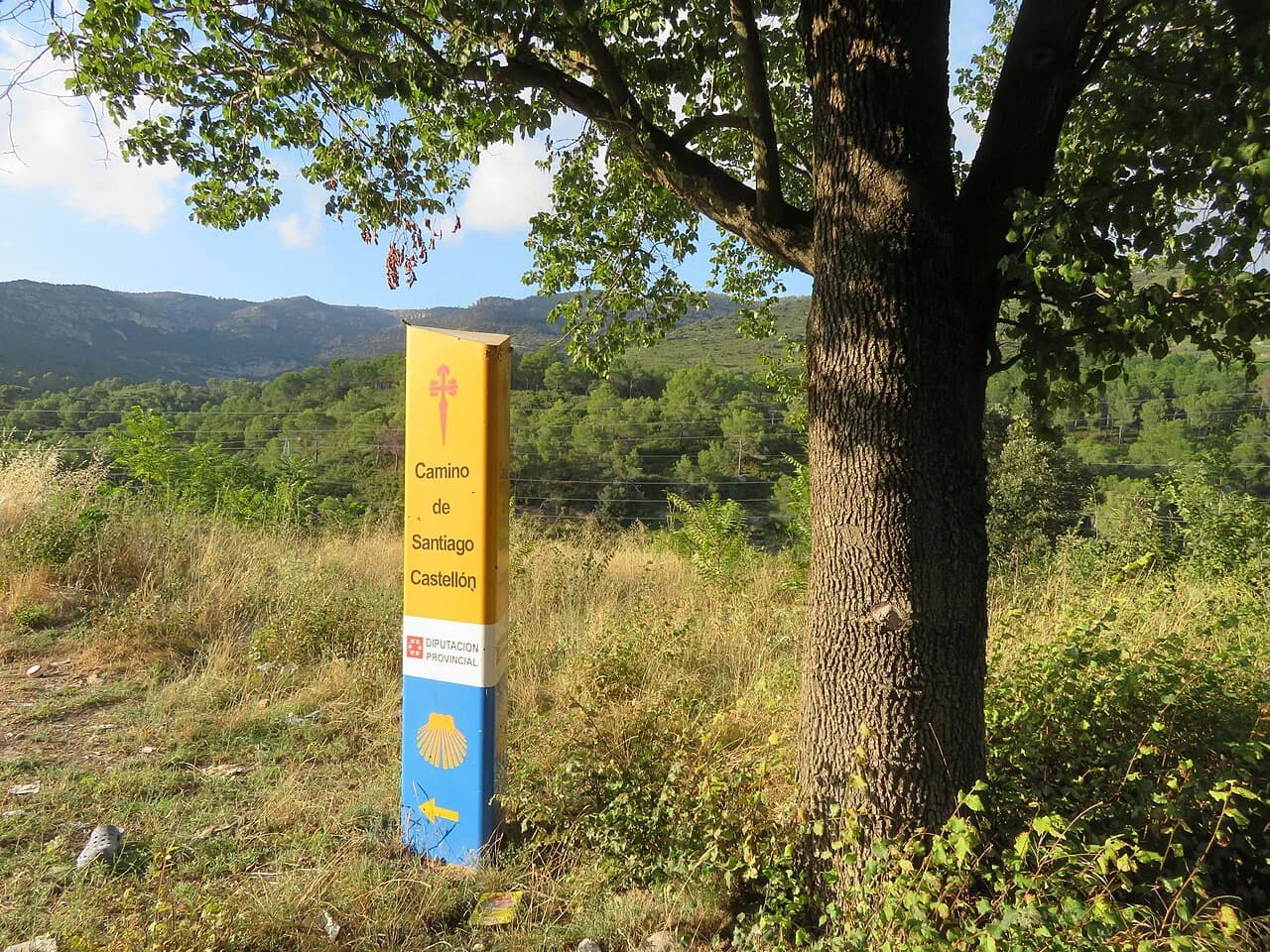
If you are still deciding between a British route and a continental one, the camino de santiago offers a different rhythm entirely, with village-to-village stages and pilgrim lodging rather than wild moorland. England's own trails are better for solitude, rough weather and self-reliance.
How England's trails are structured
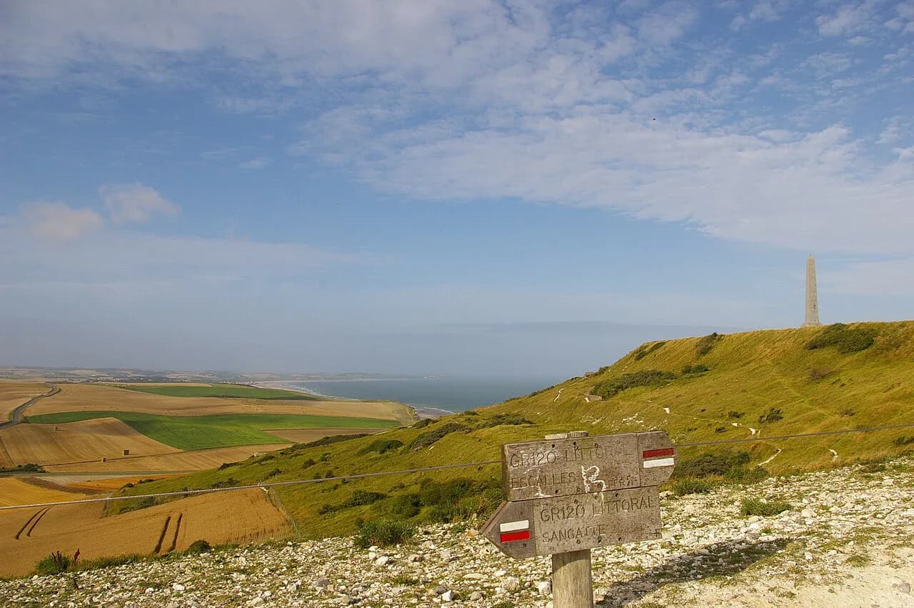
National Trails are the long, waymarked routes that cross regions and often link national parks; the Pennine Way and the South West Coast Path belong to this family. National parks, such as the Lake District, the Peak District, the Yorkshire Dales and the North York Moors, hold dense networks of shorter paths rather than one continuous route. Coastal paths follow the shoreline and are often waymarked at frequent intervals.
Waymarking quality is not uniform, and it changes your preparation. The South West Coast Path is described as excellently waymarked, so navigation is mostly a matter of following signs. The Cambrian Way, a Welsh route across Snowdonia and the Brecon Beacons, has basic waymarking, so map and compass skills and a solid understanding of the route are essential. English moorland routes sit somewhere in between and reward careful navigation in poor visibility; if you want to weigh this against hillwalking further north, hiking in Scotland makes a useful comparison.
Long-distance trails: distances and walking time
The Pennine Way runs 268 miles (431 km) from Edale in the Peak District to Kirk Yetholm, typically over 15 to 20 days. It is known as one of the toughest UK trails because of how remote some stretches are, crossing high moorland with long gaps between villages. Expect constant panoramas, exposed sections and a need to carry supplies between resupply points.
The Coast to Coast covers 182 miles (293 km) in 11 to 15 days, starting at St Bees on the west coast, crossing the Lake District, the Yorkshire Dales and the North York Moors, and finishing at Robin Hood's Bay. It mixes mountain, moor, farmland and coast, so the terrain underfoot changes almost daily.
The Cumbria Way is a lower and shorter proposition: 73 miles (117 km) over about five days, running from Ulverston in the south to Carlisle in the north via Coniston, Langdale, Keswick and Caldbeck. It stays largely at valley level on defined trails, passing lakes and villages, and the central section through the Lake District is the highlight. It proves you do not need to summit mountains to enjoy the Lakes.
For a shorter English option, the Shropshire Way runs 202 miles (325 km) in 11 to 16 days, linking the Stiperstones, Wenlock Edge, Ironbridge Gorge and the Wrekin. It is easy to follow and can be split into sections, so it works well as a series of weekends rather than one continuous trip.
Lake District hiking: valley routes versus mountain days
The Lake District rewards both approaches. Valley routes such as those along the Cumbria Way give you lakes, villages and low-level paths without committing to steep ground, and they remain walkable in changeable weather. Mountain days add ascent and exposure, and the difference between the two is the single most useful planning decision in the region.
The Lake District also anchors the western end of the Coast to Coast, so walkers on that route see the national park in passing between St Bees and the Dales. If you want the scenery without the full traverse, use the same path network for day sections based in one valley.
Peak District and northern England moorland walking
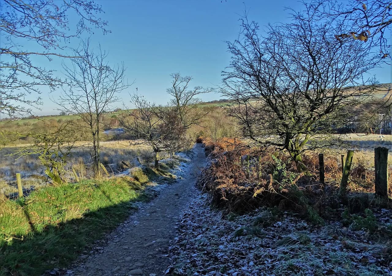
The Pennine Way begins at Edale in the Peak District before running north through the Yorkshire Dales and on to Kirk Yetholm in the Scottish Borders, passing through three national parks and one Area of Outstanding Natural Beauty. The moorland stretches are remote, with long views and few settlements, and the weather can turn quickly on high ground. Carrying a map and compass and knowing your escape routes is part of the day, not an optional extra.
For a gentler taste of northern England, the Shropshire Way's rolling hills, villages and pubs make it a good introduction to multi-day walking. It offers panoramic views and bucolic countryside without the sustained altitude of the Pennine spine.
South West England: Cotswolds, Dorset and Exmoor
South West England is where inn-to-inn walking works best. Routes through the Cotswolds link villages on local paths away from the busiest trails, while Dorset and Exmoor combine chalk hills, wooded river valleys, moorland and the Severn estuary coast. Trip formats range from six to twelve days, and itineraries are built around your walking pace and how challenging you want each day.
These are not necessarily the National Trails. Operators such as Foot Trails design their own routes, following local paths between villages rather than sticking to the official long-distance line, which means quieter walking and more flexibility in daily distance. For hikers who want a guided format, europe walking holidays cover similar inn-to-inn concepts on the continent for comparison.
The South West Coast Path's scale and daily planning
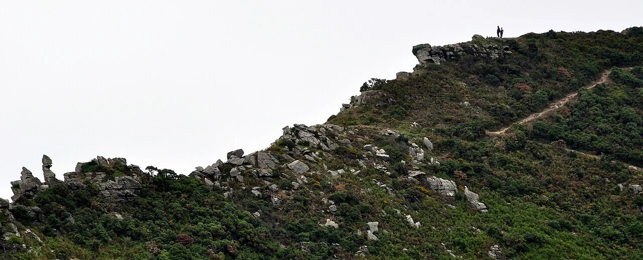
The South West Coast Path runs 630 miles (1,014 km) from Minehead in Somerset to Poole in Dorset, taking in the coastlines of Devon and Cornwall with every beach, cove and fishing village along the way. The full route takes six to eight weeks. Its total ascent is around 115,000 feet (35,000 m), the equivalent of climbing Mount Everest four times, so fitness and stamina matter as much as daily distance.
Most walkers take it in sections rather than end to end. The path is waymarked well, and estuaries are crossed by boat, which adds a timetable element to some days. Plan each stage around the ferry crossings and the day's climbing rather than around mileage alone.
Short trails and day sections
The easiest way into England hiking is to take a single stage of a long route. A day of the Cumbria Way through Langdale gives you lakes and villages without the full five-day commitment. A few days on the Shropshire Way covers the Stiperstones and Wenlock Edge. Both keep the logistics simple and let you test your kit and pacing.
If you are also considering continental day hikes, walks in italy show how comparable mountain days compare in length and ascent. In England, a full day on moorland or fell usually means carrying waterproofs, food and water for the whole day, because villages can be far apart.
Trailheads, transport and getting to the start
Long-distance trails in England generally start and finish in villages or towns with public transport, which makes linear walking practical. The Pennine Way begins at Edale and ends at Kirk Yetholm; the Coast to Coast runs from St Bees to Robin Hood's Bay; the Cumbria Way runs from Ulverston to Carlisle. Check train and bus times for both ends before booking lodging, then work backward from your finish to set daily stages.
For inn-to-inn itineraries, the walking route and lodging are arranged for you, together with transfers where needed. If you are self-organising, plan the transport legs first: a trail that starts and ends on a rail line saves a day of shuttling.
Inns, campsites and booking long-distance stages
Accommodation on England's long-distance trails is a mix of inns, guesthouses and campsites, with villages often spaced a day's walk apart. On the Cumbria Way and the Coast to Coast, the village-to-village pattern means booking each night in advance, especially in popular months when rooms in small settlements fill early. Guided formats include lodging and itinerary planning, while self-guided formats give you a route and booking support but leave you to walk alone.
For inn-to-inn travel in the Cotswolds and Dorset, trip lengths range from around four nights to twelve days, and daily distances are tailored to your pace. Ask what is included before you commit: some formats include luggage transfer and maps, others leave both to you.
When to go: seasons, daylight and weather
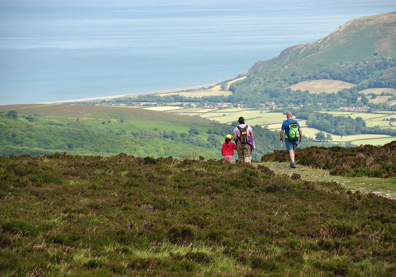
Late spring to early autumn is the main window for English hiking, with the longest daylight and the most reliable conditions on high ground. Moorland routes such as the Pennine Way are best in settled summer weather, when the bogs are drier and the days are long. Shoulder months bring quieter trails but shorter days, so plan shorter stages.
Coast paths stay walkable for more of the year, but wind and rain can make cliff-top sections uncomfortable, and the South West Coast Path's repeated climbs add up in poor conditions. Winter mountain days in the Lake District demand experience and shorter objectives. Whatever the season, carry waterproofs and layers.
Hazards: moorland navigation and coastal tides
On moorland, the hazards are navigation and weather rather than technical difficulty. Paths can disappear in mist, and the Pennine Way's remote stretches put you hours from the nearest village; a map, compass and the ability to relocate are essential. The Cambrian Way's basic waymarking makes this even more critical on that route.
On the coast, tide and clifftop exposure shape the day. Sections of the South West Coast Path sit above steep drops, and estuaries need boat crossings or detours, so check crossing times before setting out. On any coastal walk, keep away from crumbling edges and time your day around the tide.
Guided and self-guided formats
Guided trips suit walkers who want the route, lodging, luggage transfer and local knowledge handled for them, and who enjoy company on the trail. Self-guided trips suit independent hikers who want a planned route and booked lodging but the freedom to walk at their own pace. Both formats exist for the Cotswolds, Dorset, Exmoor and the South West Coast.
Self-guided inn-to-inn walking is the most flexible middle ground: you carry a day pack, sleep in villages and follow a route designed for your pace. It works well for first-time long-distance walkers and for couples with different speeds. If you want mountain terrain and technical ground, look beyond these formats.
Where to base yourself for each region
For the Lake District, base in one of the central valleys to reach both the low-level lakes and the higher fells by short transfers; the Cumbria Way passes through Coniston, Langdale and Keswick. For the Peak District, Edale is the natural start for the Pennine Way and gives access to the southern moorland. For the South West Coast Path, choose a village near the section you plan to walk and build your days outward from there.
For the Cotswolds and Dorset, inn-to-inn itineraries move you between villages, so no single base is needed. For a longer continental comparison, the GR20 Guide covers a tougher mountain route in Corsica, while walks in italy show the Aosta Valley and Gran Paradiso National Park as alternatives.
Plan Your England Hiking Trip
Start with the decision that shapes everything else: a full long-distance trail, a section of one, or a day out from a base. The Pennine Way at 268 miles and the South West Coast Path at 630 miles with 115,000 feet of ascent are multi-week commitments, while the Cumbria Way at 73 miles and the Shropshire Way in sections fit shorter holidays.
Then match the format to your appetite: self-guided inn-to-inn for independence, guided trips for company and logistics, and day sections if you want to test the water first. Book lodging early, check transport at both ends, and carry a map and compass on moorland.
Frequently Asked Questions
How long does it take to walk the Coast to Coast?
The 182-mile (293 km) route from St Bees to Robin Hood's Bay is usually walked in 11 to 15 days. It crosses the Lake District, the Yorkshire Dales and the North York Moors, so daily ascent varies and you should set stages by terrain as well as distance. Walkers planning the full traverse should book village lodging along the way well before summer.
What is a good day hike distance in England?
For most hikers, a satisfying day on English trails sits between roughly 6 and 12 miles (10 to 19 km), but the climbing matters more than the mileage. A moorland or fell day with 900 m (2,950 ft) of ascent will take as long as a much longer valley walk. Pick a stage of a long-distance trail, such as a Cumbria Way valley section, if you want an easy introduction.
Do you need to book accommodation on England's long-distance trails?
Yes, for inn-to-inn walking on routes like the Cumbria Way and the Coast to Coast, where villages are often a day's walk apart and rooms in small settlements fill early in summer. Self-guided operators can book the chain of nights for you, while independent walkers should reserve each stage in advance and confirm what luggage transfer, if any, is included.
When is the best time of year to go hiking in England?
Late spring to early autumn gives the longest daylight and the most settled conditions on high ground, which suits moorland routes such as the Pennine Way. Coast paths remain walkable for more of the year, though wind and rain can make cliff-top sections uncomfortable. Shoulder-season trips mean shorter days, so plan shorter stages.
Is the Pennine Way harder than the South West Coast Path?
They are hard in different ways. The Pennine Way's 268 miles (431 km) include remote high moorland where navigation and weather matter, while the South West Coast Path's 630 miles (1,014 km) carry around 115,000 feet (35,000 m) of repeated climbing. Choose the Pennine Way for wilder terrain and the coast path for village-to-village walking with constant sea views.
Sources
Trail notes for your next trip
Optional updates when we add or revise hiking guides.
You might also like
Continue reading
More guides you'll find useful