Walks in Italy: 8 Great Hikes From the Alps to the Amalfi Coast
Plan a walking trip in Italy with eight hikes from the Gran Paradiso Alps to the Path of the Gods and Mount Etna, with distances, times and best seasons.
On this page
Italy gives a hiker an unusual range in one country: glacier-ringed circuits in the Gran Paradiso, multi-day hut routes under the Dolomites' limestone towers, a flat lakeside greenway, cliff paths above the Ligurian and Amalfi coasts, a lava trail on Etna and long crossings of the Apennines. The walks below are grouped by terrain so you can match a route to your fitness, the days you have and the season you are traveling in.
Distances and walking times here follow the national tourism board's published figures for each route. Summer suits the high alpine circuits and the Dolomites, spring and autumn suit the exposed southern coast paths, and the Lake Como greenway is described as walkable in every season. Where a route carries real exposure or needs climbing ability, that is stated with the route rather than buried in general advice.
Gran Paradiso Grand Tour: the demanding alpine circuit
The Gran Paradiso Grand Tour is a high ring route between the Aosta Valley and Piedmont that runs in front of the Gran Paradiso massif past glaciers and alpine lakes, with ibex and chamois along the way. Italia.it gives it as roughly 56 km (35 mi) with 4-5 days of walking, graded demanding, and notes that the total altitude gain equals the height of the Gran Paradiso summit itself at 4,061 m (13,323 ft). Treat that as the key planning fact: this is a multi-day route that rewards a good base of fitness, not a first alpine outing.
Because the circuit starts and finishes in the same place, you can leave a car or base yourself in one valley village and walk the ring with a light pack between overnight stops. Snow can linger on the higher passes well into early summer, so late June through September is the realistic window for the full circuit; ask the Gran Paradiso National Park's own visitor services about trail conditions and overnight accommodation before you commit to dates.
Dolomites high routes: hut-to-hut walking
The Dolomites have eight numbered high routes, the Alte Vie, that link mountain hut to mountain hut and climb to altitudes around 3,000 m (9,842 ft). They pass landmarks including the Marmolada, the Pale di San Martino, the Tre Cime di Lavaredo, Lagazuoi and Lake Braies, and Italia.it grades them medium to difficult, with lengths from 36 km (22 mi) on Alta Via 7 up to 180 km (112 mi) on Alte Vie 2 and 6.
Alta Via 7 is the short option, taking around five stages, while Alta Via 2 runs to about thirteen stages and nearly two weeks on the trail. Choose the number by the days you can spare and your tolerance for repeated days of sustained ascent and descent: the short routes suit fit walkers on a one-week holiday, the long ones suit experienced backpackers. Book hut beds through the alpine club or hut operator that manages each refuge, and expect the highest passes to hold old snow early in the season.
Greenway of Lake Como: an easy lakeside walk
The Greenway of Lake Como follows the western shore from Colonno to Griante along stretches of the old Roman Via Regina, passing small fishing villages, historic villas and Romanesque churches. It is about 10 km (6 mi) in seven legs, takes roughly three and a half hours, and Italia.it describes it as easy and suitable for everyone in every season. That makes it the best pick for a mixed-ability group or a rest day between bigger hikes.
The route is linear, so plan the return before you set out: regular lake boats and buses link the lakeside villages, and you can also walk it in short sections. Spring and autumn give cooler walking with fewer crowds on the villa terraces, while high summer means starting early and carrying more water.
Camogli to Portofino: the Ligurian coast path
This walk crosses the whole Portofino promontory inside the Regional Natural Park of Portofino, starting at the seaside village of Camogli and finishing in Portofino, with a halfway stop at San Fruttuoso and its abbey. Italia.it gives it as 13 km (8 mi), around 4-5 hours, and grades it easy to medium, with Mediterranean scrub and wide sea views throughout.
The route is also a good warm-up for longer coastal trails elsewhere in Europe, since it teaches you to manage heat, steps and repeated short climbs through the day. Boats connect San Fruttuoso and Portofino with Camogli, so you can shorten the walk or arrange a return leg on the water. Carry water for the whole day because the path spends long stretches away from the villages.
Path of the Gods on the Amalfi Coast
The Path of the Gods runs between the Amalfi and Sorrento coasts amid rock spires, oaks and terraces, with views that reach as far as the Faraglioni of Capri. Italia.it gives the least demanding version as Agerola to Nocelle, a hamlet of Positano: 8 km (5 mi), about four and a half hours, graded easy to medium, and recommended in spring or autumn when the heat is less severe.
The trail is not recommended for people who suffer from vertigo, and the sensible response is to walk it in dry, settled weather and keep well back from the exposed edges. Starting at Agerola means the main climb is behind you early, then you descend toward Nocelle and Positano, from where buses and boats return along the coast.
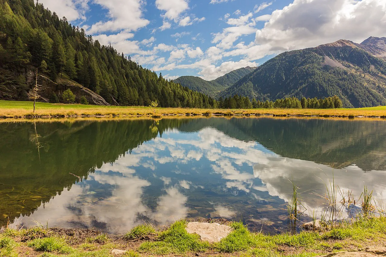
Mount Etna's Germoplasma Trail: a volcano walk for everyone
Inside Etna Park a dense network of paths threads vineyards, broom and medicinal plants, and the Germoplasma Trail is the accessible introduction. It is 1.153 km (0.7 mi), takes about an hour, stays at gradients under 7 percent and is described as accessible to disabled visitors, with information installations suited to visually impaired and blind walkers.
Use it to see the volcano's lower slopes when you have limited time or mobility, then pair it with a longer Etna path if you want full-day walking. The upper mountain is a different proposition with cold wind and loose volcanic ground, so keep layers in the pack even when the coast below is warm.
Long-distance routes: Via degli Dei and the Via di Francesco
The Via degli Dei runs 130 km (81 mi) from Bologna to Florence through the Tuscan-Emilian Apennines and is generally split into five legs, with Italia.it suggesting six stages for a first long-distance attempt. It is graded easy to medium, can be cycled, and follows a line first used by the Etruscans and later as a Roman road.
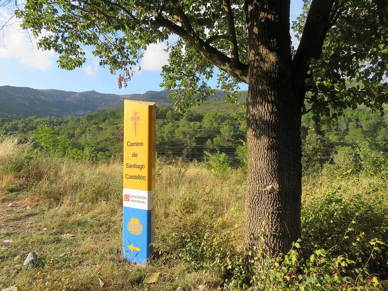
The stretch of the Via di Francesco from Assisi to Gubbio covers about 50 km (31 mi) between hills, streams, castles and abbeys, graded medium to challenging, and Italia.it suggests dividing it into half stages because of the repeated ups and downs. Both routes work well as a first taste of Italian long-distance walking, with two to six days on foot and nights in towns and villages along the way, and they sit comfortably beside established pilgrim routes such as the Camino de Santiago if you want to build up to a longer walk.
Selvaggio Blu in Sardinia: a route for climbers
The Selvaggio Blu runs about 50 km (31 mi) from Santa Maria Navarrese to Cala Gonone on the Gulf of Orosei over roughly seven days, and Italia.it calls it one of Europe's most challenging treks. It includes via ferrata and climbing sections, and there is no rest stop or water source anywhere along the 50 km, so parties must be self-sufficient and confident on exposed rock.
Approach this as a hiking route with fixed-cable ground and roped sections, not a stroll: go with a guide or an experienced partner if you have not handled such terrain before. The reward is unspoiled shepherd paths and cliffs above a cobalt sea, reached through a landscape that filters out anyone unprepared for the logistics.
If you are building a season of tougher European routes, compare the Selvaggio Blu's demands with other mountain traverses before booking, since the waterless days and climbing sections change what you carry. Walkers weighing a demanding alpine circuit against a coastal traverse can weigh the same questions in the Mont Blanc hiking guide, where glacier crossings raise the same self-sufficiency and kit decisions.
Choosing a walk by fitness, time and season
Match the route to the days you have first. The Etna trail at about an hour, the Lake Como greenway at three and a half hours and the Camogli to Portofino day fit inside a normal holiday, while the Gran Paradiso ring, the Dolomites high routes and the Selvaggio Blu need four to thirteen days and a proper training base.
Then match the season: high alpine circuits come into condition in summer once old snow clears from the passes, the Path of the Gods is best in spring or autumn, and the lakeside greenway works year-round. Build in a spare day for weather in the Alps and Apennines, where afternoon storms are common and turning back early is part of a sensible day.
Getting to Italian trailheads
Most Italian trailheads are linked by regional buses, trains or mountain lifts, and the practical move is to plan the outward and return legs together before you book accommodation. Coastal routes such as Camogli to Portofino and the Amalfi paths can be served by scheduled boats as well as buses, which lets you walk one way and return on the water.
For national park routes, use the park's own pages for access points and any local rules; for huts, book direct with the refuge or the alpine club that runs it well ahead of a summer crossing. If you prefer a supported format, guided and self-guided walking holidays handle transfers and luggage movement between overnight stops, which suits multi-day routes when your time is tight.
What to carry and when to start
Pack for the terrain in front of you: sturdy boots for the Dolomites and Gran Paradiso, lightweight shoes for the greenway, and sun protection for the Etna and coastal paths. Water is the defining issue on the Selvaggio Blu and a serious planning point on the Amalfi and Ligurian routes, where long stretches pass away from villages.
Start early in summer, especially in southern Italy, so that the steepest sections fall in cooler hours. In the Apennines and the Alps, aim to be off high ground by mid-afternoon when storms build, and carry a waterproof layer even on a clear morning.
Where to base yourself for each walk
Base in a valley village near the Gran Paradiso ring so you can walk the circuit between overnight stops with one fixed base before and after. For the Dolomites, choose a town below the chosen Alta Via and finish at a hut, then arrange transfer back through the valley.
Colonno, Menaggio or Griante place you on the Lake Como greenway; Camogli gives you the Ligurian coast walk from the doorstep; and Agerola or Positano works for the Path of the Gods. For the Via degli Dei, Bologna at one end and Florence at the other become natural start and finish bases, connecting onward by train.
Plan Your Italian Walking Trip
Choose one route that matches the days you actually have: an hour on Etna, a half day on Lake Como or the Portofino coast, or a multi-day alpine or Apennine crossing that needs training. Then fix your season, arrange access and a return leg, and reserve hut beds or overnight towns before you set out.
If you want to extend the trip, the rest of the continent offers comparable mountain and coastal walking; the best hikes in europe guide covers routes like the Fisherman's Trail for a follow-on trip.
Frequently Asked Questions
What is the most famous walk in Italy?
The Path of the Gods on the Amalfi Coast is the best-known, an 8 km (5 mi) route from Agerola to Nocelle that takes about four and a half hours and is graded easy to medium. It is not recommended for people with vertigo and is best walked in spring or autumn.
How long does the Via degli Dei take from Bologna to Florence?
The route covers 130 km (81 mi) through the Apennines and is usually divided into five legs, with six stages suggested for a first long-distance attempt. That works out to roughly four to six days on foot between Bologna and Florence.
When is the best time to walk the Path of the Gods?
Spring or autumn gives the most comfortable conditions because the summer heat is less severe on the exposed sections. Walk it in settled, dry weather if you are sensitive to heights.
Do you need climbing gear for the Selvaggio Blu?
Yes. The Selvaggio Blu includes via ferrata and climbing sections over its roughly 50 km (31 mi), and there is no water or rest stop anywhere on the route. Go with a guide or an experienced partner unless you have handled fixed-cable ground and roped climbing before.
Is the Lake Como Greenway suitable for beginners?
Yes. It is about 10 km (6 mi), takes around three and a half hours, and is graded easy and suitable for everyone in every season. You can also walk it in shorter sections using lake boats and buses.
How many days do the Dolomites high routes take?
The eight Alte Vie differ widely. Alta Via 7 is the shortest at about five stages and 36 km (22 mi), while Alta Via 2 runs to about thirteen stages and 180 km (112 mi) for experienced backpackers.
Sources
Trail notes for your next trip
Optional updates when we add or revise hiking guides.
You might also like
Continue reading
More guides you'll find useful