Hiking in Croatia: Coastal Peaks, Karst Ridges and Long Trails
Plan hiking in Croatia around coastal peaks, Velebit karst and long-distance trails. Compare trail lengths, huts and the best season before you go.
On this page
Croatia gives you a mountain swim and a summit in the same day: you can climb 1,000 m (3,280 ft) of limestone in the morning and be in the Adriatic by afternoon. That combination of coastal climbs, karst plateaus and long ridge trails is why hikers treat it as a genuine mountain country rather than a beach destination with a few paths. This guide sorts the main options by terrain and effort so you can pick what fits your time, fitness and the season.
Expect three distinct kinds of walking. The Dalmatian coast delivers steep, dry ascents straight from seaside towns; the interior around Velebit and Plitvice is forested karst with mountain huts and cooler air; and the newest long-distance routes string both together over weeks rather than days. Huts range from free open shelters to staffed houses that charge per night, so your overnight kit follows from your route choice.
Why Croatia Suits Coast and Mountain in One Trip
The country's geography does the work for you. Croatia's main hiking body, the Croatian Mountaineering Association, maintains more than 7,500 km (4,660 mi) of marked trails and over 160 huts and shelters, which makes everything from a half-day coastal climb to a multi-week traverse feasible on the same trip. Coastal routes are best walked outside high summer, when the heat on exposed limestone becomes the limiting factor rather than the terrain.
Distances here are short by alpine standards, but the vertical is real: many Adriatic trails start at sea level and climb hard, and there is rarely water above the tree line. Plan your day around liters carried and the afternoon, not just kilometres. If you are comparing Croatia with the rest of the continent, the best hikes in europe guide splits options by country, season and difficulty so you can see where a Croatian ridge fits your itinerary. The same comparison works in reverse against bigger alpine objectives, so read the Mont Blanc hiking guide if you want to see how a multi-day high route differs in scale and logistics.
Coastal Day Hikes: Biokovo Above Makarska and Sveti Ilja Above Orebić
Biokovo rises directly behind Makarska, and the climb to Sveti Juri (1,762 m / 5,781 ft) can be started on foot from town. Budget roughly 5–6 hours for the round trip, with about 3 hours up on the same trail you descend. The path is steep but needs no mountaineering experience, and the reward is a view over the whole Makarska Riviera.
There are no services on the Biokovo ascent, so carry all your water and food. That single constraint should decide your start time: an early departure gets you up before the sun hits the south-facing slope hardest and leaves margin for the descent. The route is popular precisely because it packs a full mountain day into a coastal holiday.
On the Pelješac Peninsula, the climb from Orebić to Sveti Ilja (961 m / 3,153 ft) is a three-hour ascent, walked back down the same way. Start by walking up to Our Lady of the Angel monastery, about twenty minutes from the town centre, then follow the marked path behind the farmhouses and on up through low scrub. The trail is marked with red-and-white symbols, but side paths crisscross it, so watch the junctions and note which fork continues upward.
Time the descent to be off the hill before dark, because the path is awkward to follow once you lose the light. Many people walk it as a day trip from Korčula, which is a short ferry crossing away, but staying in Orebić removes the ferry timing from your plans.
Island Walking on Mljet: The Path to Odysseys' Cave
Mljet is greener and quieter than its better-known neighbours, and the walk to Odysseys' Cave makes a gentle full day. Allow about three hours one way on a route that stays close to the coast, is mostly flat and wide, and is easy to follow because the sea is always beside you.
Rather than day-tripping with the crowds around the monastery lake, base yourself in a guesthouse in Sobra on the quieter side of the island and give the coastal path a full day. The approach road is a winding asphalt climb, so arranging a lift to the trailhead saves a dull and exposed road walk. At the cave there is a small concession stand, and the return is either the same path or the road, where you can try for a lift back.
Peaks Around Plitvice: The Climb to the Plješevica Ridge
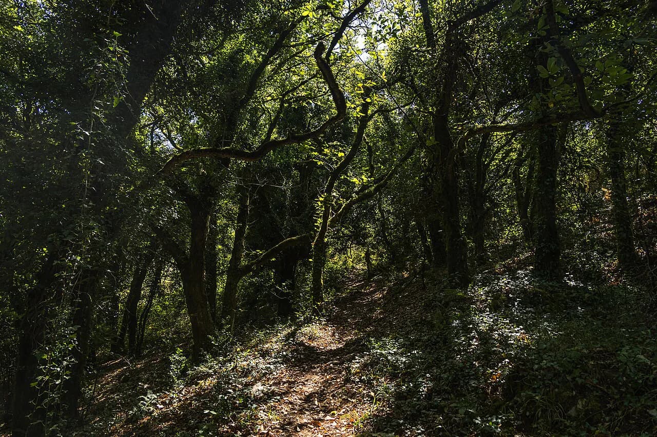
Plitvice Lakes draw the crowds; the Plješevica ridge above Korenica is where you lose them. The climb takes roughly eight hours and starts in Korenica, passing farmhouses and fields before entering forest and staying uphill the whole way. There are no services on the ascent, so leave early and carry a picnic and water for the day.
The final stretch is steep, but the ridge gives you long views into the valleys on both sides, and the route runs along the Croatia–Bosnia and Herzegovina border. Stay on the marked path on the ridge and do not wander into the forest on the Bosnian side. The trail itself is well marked and the single line is easy to follow; the ruins of the old military complex at the top, with underground corridors, are the unusual payoff.
The descent involves a short, slippery scree slope if you take the line down to the flat rock outcrop used as a picnic spot. Trekking poles help here more than they do on the climb.
Karst Scrambling at Bijele i Samarske Stijene
Bijele i Samarske stijene is white limestone karst rising out of coniferous forest in northwestern Croatia, and it works as a hard day out or a two- to three-day weekend. Samarske stijene is the easier summit, needing only a little climbing near the top, but the approach is a steep grind. From the top you can choose between a southern and a northern loop; almost nobody links both in a day, so pick one.
A 45-minute forest descent from Samarske stijene brings you to the stone-built Ratkovo hut, the natural overnight if you want two days in the area. For the continuation toward Bijele stijene you have two choices: the forest road via Begova staza, or the Vihoraški put pass, which is only about 1 km (0.6 mi) long but can take 4–6 hours and requires mountaineering experience. Choose the forest road unless you have the experience, the daylight and a light pack for scrambling.
Bijele stijene itself has a short climbing section equipped with metal handles; with a normal pack and ordinary fitness it is manageable for people with normal mobility, but it is awkward with a big load. Two huts serve the area: Dragutin Hirc hut and, next to it, Miroslav hut, which is free. Bring a sleeping bag regardless, and check current hut charges with the Croatian Mountaineering Association before you rely on one.
The Velebit Trail and Its Mountain Huts
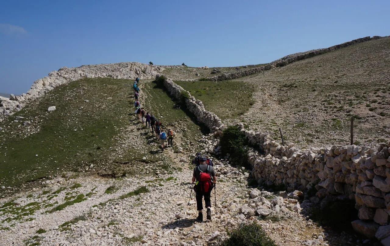
Velebit is Croatia's biggest mountain range and its best-known trekking ground: limestone ridges, big views, varied wildlife and a dense network of mountain huts. That hut network is what makes it so useful for a short trip — you can plan a weekend around an information point at Babić Sića, ascend to the Zavižan hut in a few hours, explore the surrounding peaks, and continue to the Alan hut the next day.
Trails in Velebit are well worn and generally well signed, so they suit hikers who are comfortable in mountains but not looking for route-finding or bushwhacking. The southern part of the northern trails, around the Dobri and Dabarski area, has striking limestone towers framing green valleys below. Expect company in the popular sections in summer.
Velebit is also where Croatian huts and shelters become part of your planning. Shelters are the most common form: small, open, unstaffed buildings with no food or drink, usually with a water source nearby, free to sleep in. Huts are the other category — some open only at weekends, some daily in summer, with food and drink available and a charge for overnight stays. Pack for the shelter option and you will be comfortable either way.
If you would rather sample hut-to-hut walking on a shorter, well-established European route first, the GR20 on Corsica shows what a staged mountain traverse demands in kit and booking. Read the GR20 guide with Velebit in mind and you will see how much a dense hut network changes what you can carry.
Long-Distance Options: The Via Dinarica White Trail and the Croatian Long Distance Trail
The Via Dinarica White Trail is the long-distance line through the Dinaric Alps, connecting mountain regions along a route that also includes some of Croatia's best-known hiking areas. It is a serious undertaking of more than three weeks, and because the trail is relatively new, some sections are barely marked and poorly maintained; a handheld GPS and offline maps make the difference. Its Green and Blue variants are shorter alternatives in character, not just distance.
Croatia also has its own national scenic route. The Croatian Long Distance Trail links the country's easternmost, northernmost, westernmost and southernmost points over roughly 2,200 km (1,367 mi), and an end-to-end walk is estimated at about 100 days depending on weather and fitness. The official navigation tool is the FarOut app, which carries the waypoints for huts, shelters, water and resupply; the public GPX file does not include them.
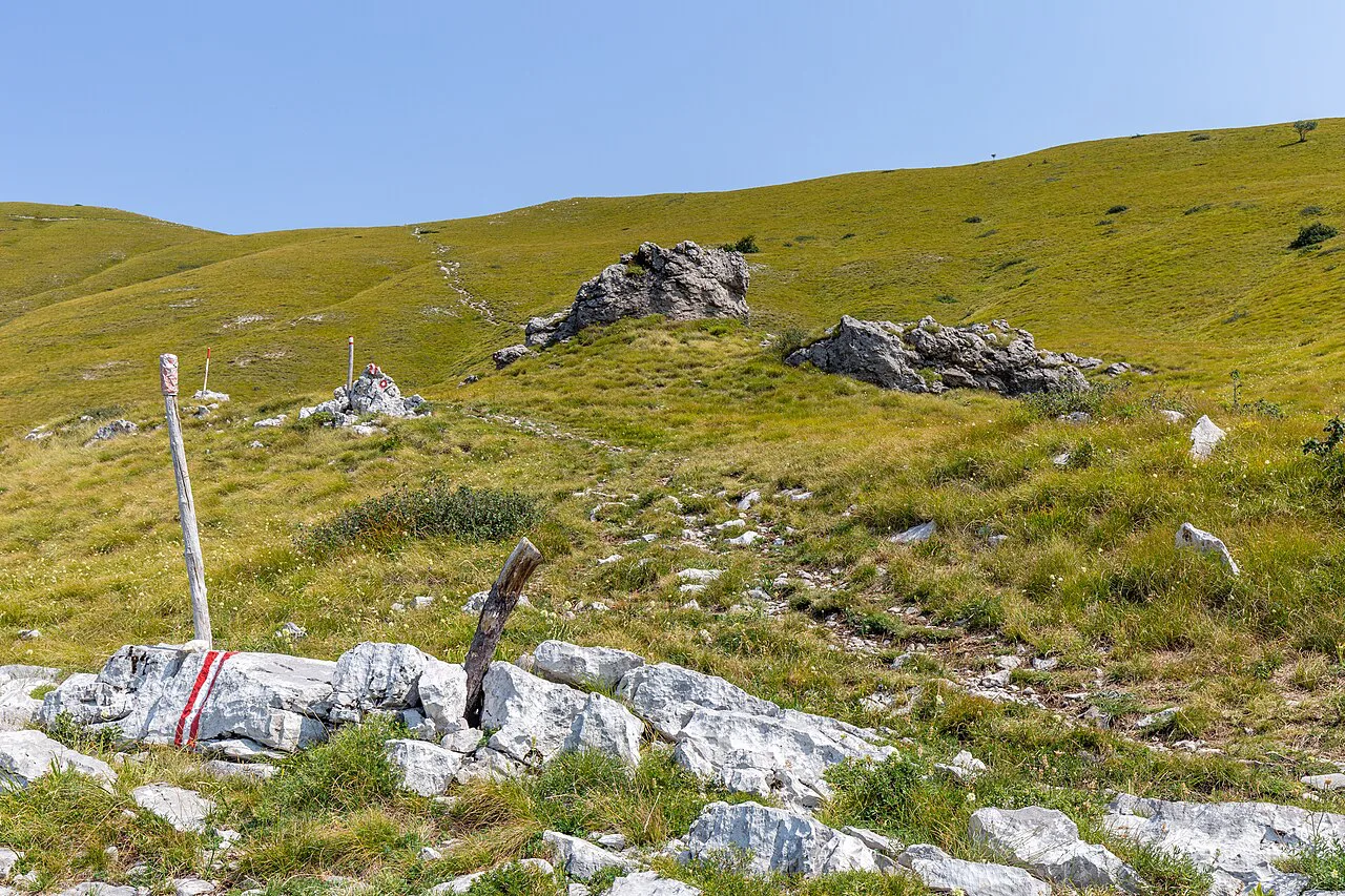
The published hiking season runs from the beginning of March to the middle of November, and winter is not recommended because of short days, deep mountain snow and closed huts and shelters. July and June are the hot months, with normal temperatures around 30–35 °C and occasional days near 40 °C. Roughly half the CLDT route follows official Croatian Mountaineering Association trails, marked with the standard red-and-white circle, and junctions carry an X sign 30–50 m before the fork, so compare your app at each one.
Mountain Huts and Shelters: What Is Free and What Is Charged
Croatian mountain accommodation splits into two clear categories, and knowing which you are heading for decides what you carry. Open shelters are free and unstaffed, usually with a water source nearby but no food or drink. Staffed huts charge for overnight stays and usually sell food and drinks; most open at weekends, with some open daily through summer, and some closed huts leave a free winter room unlocked with no booking needed.
In practice that means carrying a sleeping bag and stove on any route where you might use a shelter, and carrying food for the gaps between huts. The Croatian Mountaineering Association maintains the huts and shelters and publishes current information in Croatian; confirm opening and charges with the relevant hut or club before you set out. Outside Croatia's borders, England hiking routes such as the Pennine Way and Coast to Coast show the same trade-off between staffed accommodation and self-reliance over longer distances.
Camping and Overnighting: What Croatian Rules Allow
Croatian law does not permit camping, but bivouacking is allowed if you cannot reach a shelter before nightfall. In practice, pitch away from settlements, farmland and private property, and away from busy roads. Fires are not part of the deal: use a gas stove rather than a campfire.
Treat backcountry water before drinking it, and plan waterless stretches carefully, since some sections of the long trails run for several days between reliable sources. In villages you can ask locals to fill bottles. Croatia's outdoor shops are concentrated in Zagreb and Split, so arrive with your kit rather than planning to buy it on the way.
Getting to Trailheads by Bus, Ferry and Car
Coastal hikes are the easiest to reach without a car: Biokovo starts from Makarska and Sveti Ilja from Orebić, both on foot from the town centre, and Mljet's path is reachable from Sobra by arranging a lift up the access road. For the CLDT, the Croatian Long Distance Trail Association publishes public transport options to its start and end points — buses from Zagreb to Ilok, Čakovec, Umag and Dubrovnik, with local connections onward — and notes that details can change, so confirm current schedules before you travel.
Inland, a car gives you the most flexibility for Velebit, Plješevica and the Bijele i Samarske stijene trailheads, where public connections are thin and the approach roads are long. For a shorter European comparison of how transport shapes a mountain itinerary, walks in italy shows how valley buses and base towns work around the Gran Paradiso National Park and the Aosta Valley.
When to Go: Season, Heat and the Bura Wind
May through September is the practical window for most Croatian hiking; June and July are hot but the routes remain quieter than the coast's beaches, while May and September suit coastal climbs far better. In high summer, temperatures can pass 35 °C (95 °F), so start early, carry more water than you think you need and keep the exposed limestone ascents for the morning.
The bura is the other factor: a cold, strong wind that can blow for days, bringing intense rain and forcing you into layers even in the warm months. In winter it can stop hiking altogether on exposed sections. Read the forecast as part of route choice, not just as packing advice, and keep a lower, sheltered option in reserve.
Outside summer, expect cold conditions and the possibility of snow at altitude, including in the mountains on either side of the season. The long-distance trail association puts its season from early March to mid-November for that reason, and closed huts and deep snow are the norm in the mountains during winter.
Water, Maps and Waymarking on Croatian Trails
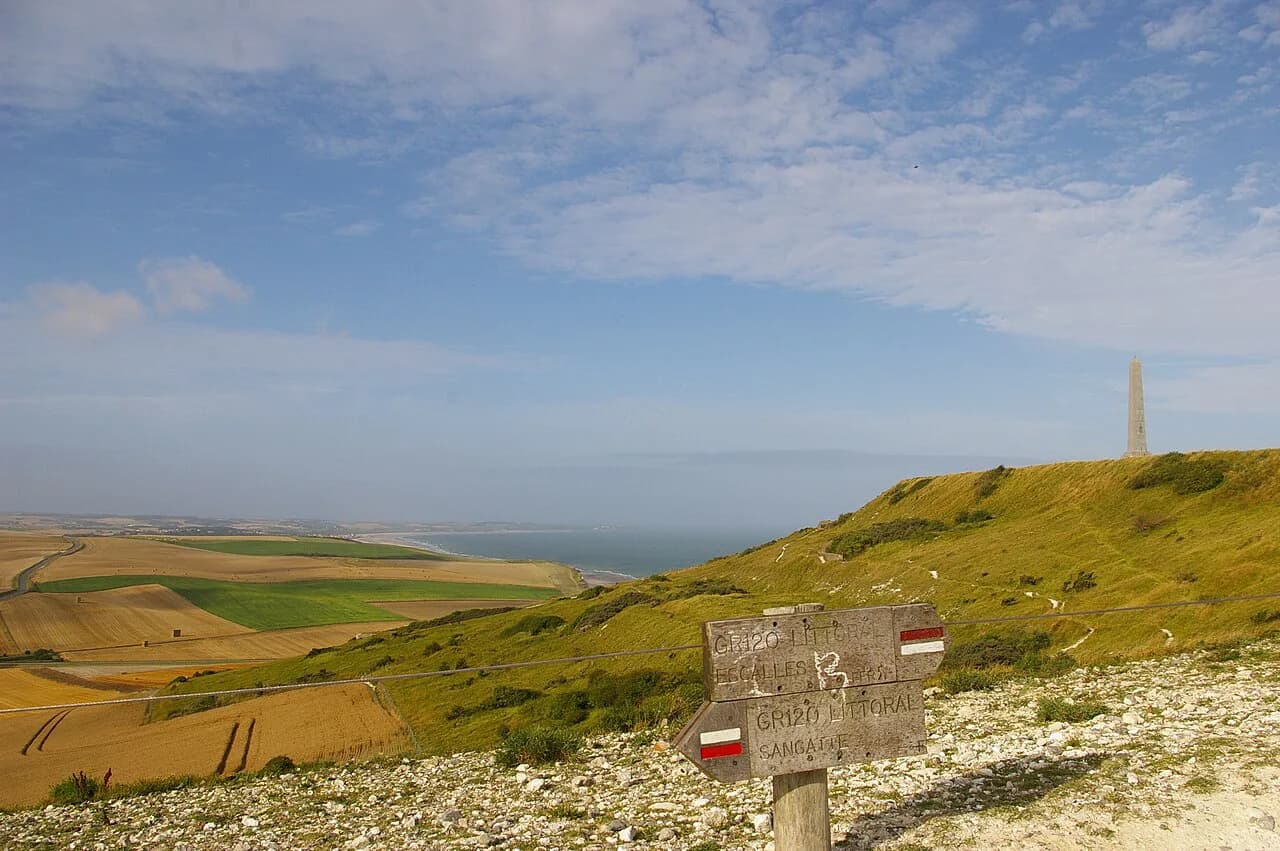
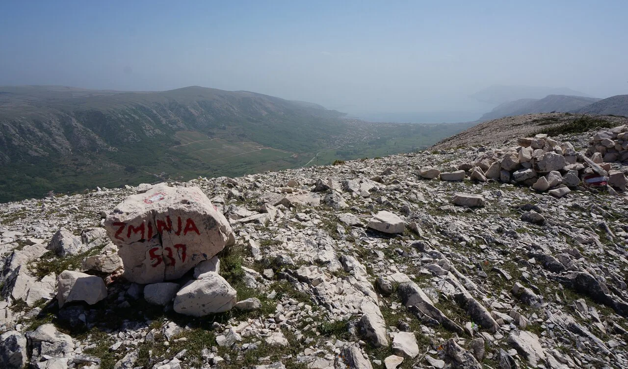
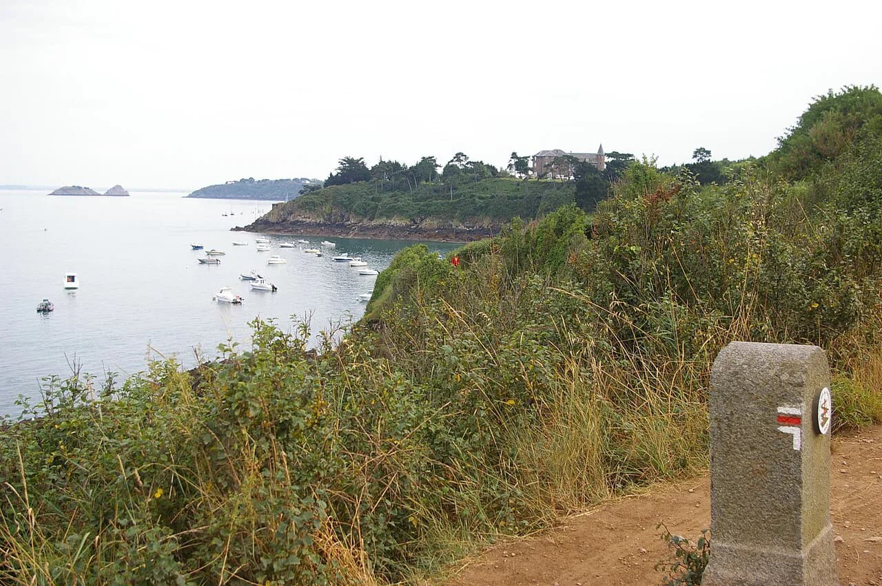
Croatian mountain trails are marked with a standard red-and-white system: most commonly a red circle with a white dot, sometimes two red lines with white between them, or a single red line on rock. At junctions an X sign usually appears 30–50 m before the fork, but several marked trails converge at the same point, so check a map or app before committing.
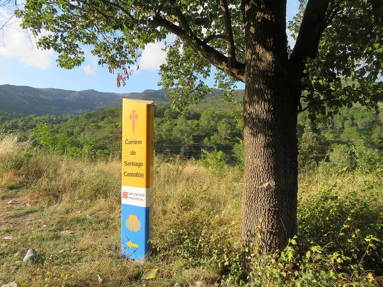
Paper maps can be hard to find locally, so carry a handheld GPS or offline maps on your phone and download the route before you leave. For a wider look at how Europe's long trails are waymarked and staged, the Camino de Santiago is the useful counterexample — a route walked by thousands daily with dense services, which is not what Croatia's newer trails offer.
Hazards Worth Planning For
Croatian mountains are lower than the Alps but not gentle. Ticks, wasps and hornets, scorpions and black widow spiders in Istria and Dalmatia, the nose-horned viper, wild boar, bears and livestock guardian dogs all appear in the areas the long trail crosses. Give shepherd dogs and livestock room, make noise in dense vegetation and check yourself for ticks at the end of the day.
Heat and cold are the two hazards that most often end a hike early: dehydration and heat stroke on summer ascents, hypothermia when the bura arrives or when a summer storm hits high ground. Snow can fall in the mountains even in summer. Carry layers, know where your next water is and turn back rather than push through a deteriorating forecast.
In a genuine emergency, call 112, which connects police, ambulance and the Croatian Mountain Rescue Service. Rescue is free and volunteer-run, which is exactly why it should be kept for life-threatening situations rather than blisters or a lost trail.
Where to Base Yourself for Each Hike
Match your base to the terrain you want. Makarska puts Biokovo on your doorstep; Orebić serves Sveti Ilja and is a short ferry hop from Korčula; Sobra on Mljet gives you the quiet side of the island for the coastal walk. For the interior, Korenica is the start point for Plješevica, and the Velebit trailheads around Babić Sića suit a hut-based weekend based out of the villages below the range.
If you want one trip that combines a coastal peak with a longer ridge, split your time: a few days on the Dalmatian coast, then inland to Velebit for huts and bigger days. Book guesthouses in the coastal towns a few days ahead in season, and treat hut nights as the fixed points around which the rest of the itinerary moves.
Plan Your Croatian Hiking Trip
Pick one terrain first — the Dalmatian coastal climbs, the karst and huts of Velebit, or a section of a long-distance route — and let that choice set your season, your pack and your base town. A coastal summit and a hut-to-hut ridge walk are both realistic in a single Croatian trip if you keep the driving or bus transfers down to one.
Then pin down the details that decide the day: water sources, hut opening and charges, the waymarking at junctions, and the forecast for heat and the bura. With those settled, Croatia's combination of short, steep mountains and a warm sea makes far more sense than the beach-only reputation suggests.
Frequently Asked Questions
What is the best time of year for hiking in Croatia?
May through September is the main window, with May and September best for coastal climbs because summer heat on exposed limestone is intense. The long-distance trail season runs from early March to mid-November, and winter is not recommended because of short days, snow and closed huts and shelters. Mid-summer temperatures commonly sit around 30–35 °C, so start early and carry more water than you expect to need.
Do you need permits to hike in Croatia?
No permit is required to hike the Croatian Long Distance Trail; the association offers a printable hiker certificate that helps in routine identity checks but carries no legal value. National park entry rules can differ, including inside Velebit, so check the park's own rules. Carry your passport or ID card on longer routes.
Are mountain huts in Croatia free?
Croatian mountain accommodation comes in two forms. Open shelters are free, unstaffed and usually have a water source nearby but no food or drink. Staffed huts charge for overnight stays and usually sell food and drinks, with most open at weekends and some daily in summer; confirm current charges with the hut or the Croatian Mountaineering Association before you rely on one.
Can you camp wild in Croatia?
Croatian law does not allow camping, but bivouacking is permitted if you cannot reach a shelter before nightfall. Pitch away from settlements, farmland, private property and busy roads, and use a stove rather than lighting a fire. Treat backcountry water before drinking, and plan carefully around waterless stretches.
Is hiking in Croatia suitable for beginners?
Yes, if you choose the right trail. Mljet's coastal path to Odysseys' Cave is mostly flat and easy to follow, and Biokovo's climb to Sveti Juri is steep but needs no mountaineering experience. Save Bijele i Samarske stijene and the Vihoraški put pass for when you have scrambling experience and a light pack.
How do you get to the Velebit trail?
Velebit is easiest by car, since trailheads such as Babić Sića sit above villages with limited public transport. A common plan is a few hours' walk up to the Zavižan hut, a day on the surrounding peaks, then on to the Alan hut. Confirm current access and hut opening with the Croatian Mountaineering Association before travelling.
How do you reach the Croatian Long Distance Trail?
The association publishes access options from Zagreb by bus and train to its start and end points, including Ilok, Čakovec, Umag and Dubrovnik, with local connections onward and short walks to the actual trail ends. Details can change, so confirm with the transport operator when booking. Bring cash for tickets bought directly from drivers.
What should you carry on Croatian trails?
Carry a sleeping bag and stove if you plan to use free shelters, and food for the gaps between resupply points. Add layers for the bura wind, more water than you would carry in wetter mountains, and offline maps, since paper maps are hard to find locally and junctions are easy to misread. Outdoor shops are concentrated in Zagreb and Split.
Sources
Trail notes for your next trip
Optional updates when we add or revise hiking guides.
You might also like
Continue reading
More guides you'll find useful