Schluchtensteig: Germany's 119 km Black Forest Gorge Trail
The Schluchtensteig runs 119 km through the Southern Black Forest's gorges, waterfalls and lookouts. Here is the route, stages, access and season advice.
On this page
The Schluchtensteig strings together the Southern Black Forest's most dramatic ground: narrow gorge floors cut by the Wutach, waterfall steps, and rocky pulpits above the treeline. It suits fit hikers who want a multi-day route with villages, guesthouses and shops at frequent intervals rather than a remote wilderness traverse. At 119 km (74 mi) with 3,550 m (11,647 ft) of ascent, it rewards people who can commit to long days on uneven ground.
Plan it as a stage walk of about six days, not a single push. The route runs point to point, can be walked in either direction, and touches settlements several times a day, which makes resupply and overnight stops straightforward to arrange. The trade-off is that the walking is rated demanding, and the gorge sections demand concentration even when the distances look modest.
Route layout: start, finish and high points
The Schluchtensteig is a linear trail through the Southern Black Forest Nature Park, running across the range rather than looping back on itself. It is walkable in both directions, so you can choose which end to start from based on transport rather than on the trail's design.
The high point sits at Krummenkreuz at 1,148 m (3,766 ft) and the low point at Wehr at 346 m (1,135 ft), so the profile is a long series of climbs and descents rather than one sustained summit push. That spread matters when you pack: you will move between cool, shaded gorge floors and open ridges in the same day.
Distance, ascent and walking time
The full route measures 119 km (74 mi), with roughly 3,550 m (11,647 ft) of ascent and 3,650 m (11,976 ft) of descent. The near-even figures reflect a traverse that gives back most of what it gains, which is harder on the legs than a single big climb followed by a valley walk.
Six days is a realistic plan for most fit hikers, splitting the distance into manageable daily chunks. Faster walkers can compress the schedule, and slower groups should add a day rather than push through the gorge sections tired. Build at least one short day into the plan for the waterfall and gorge stretches, where rough footing slows everyone down.
Getting to the start and back from the finish
The practical air gateway for both ends of the route is EuroAirport Basel-Mulhouse-Freiburg, from which buses and trains connect to the trail's starting point in about two hours. The return leg from the finish to the airport takes roughly three hours by bus and train.
Because the trail runs point to point, sort the travel home before you book accommodation at the far end. Rail timetables change by season, so build the connections on the day you intend to travel rather than assuming the pattern you used outbound applies on the return. If you are comparing long-distance routes in the region, the Westweg: A Complete Guide to Germany's Classic Long-Distance Trail sets out a north-south alternative with its own transport logic, and hikers weighing a cross-border option can likewise weigh hiking in Switzerland for its own point-to-point logistics.
The stages day by day
Break the route into six walking days, each ending in a village or a guesthouse so you can eat and sleep indoors. Stage boundaries are a planning choice rather than a fixed rule, and the frequent settlements give you room to shift them as fitness and weather dictate.
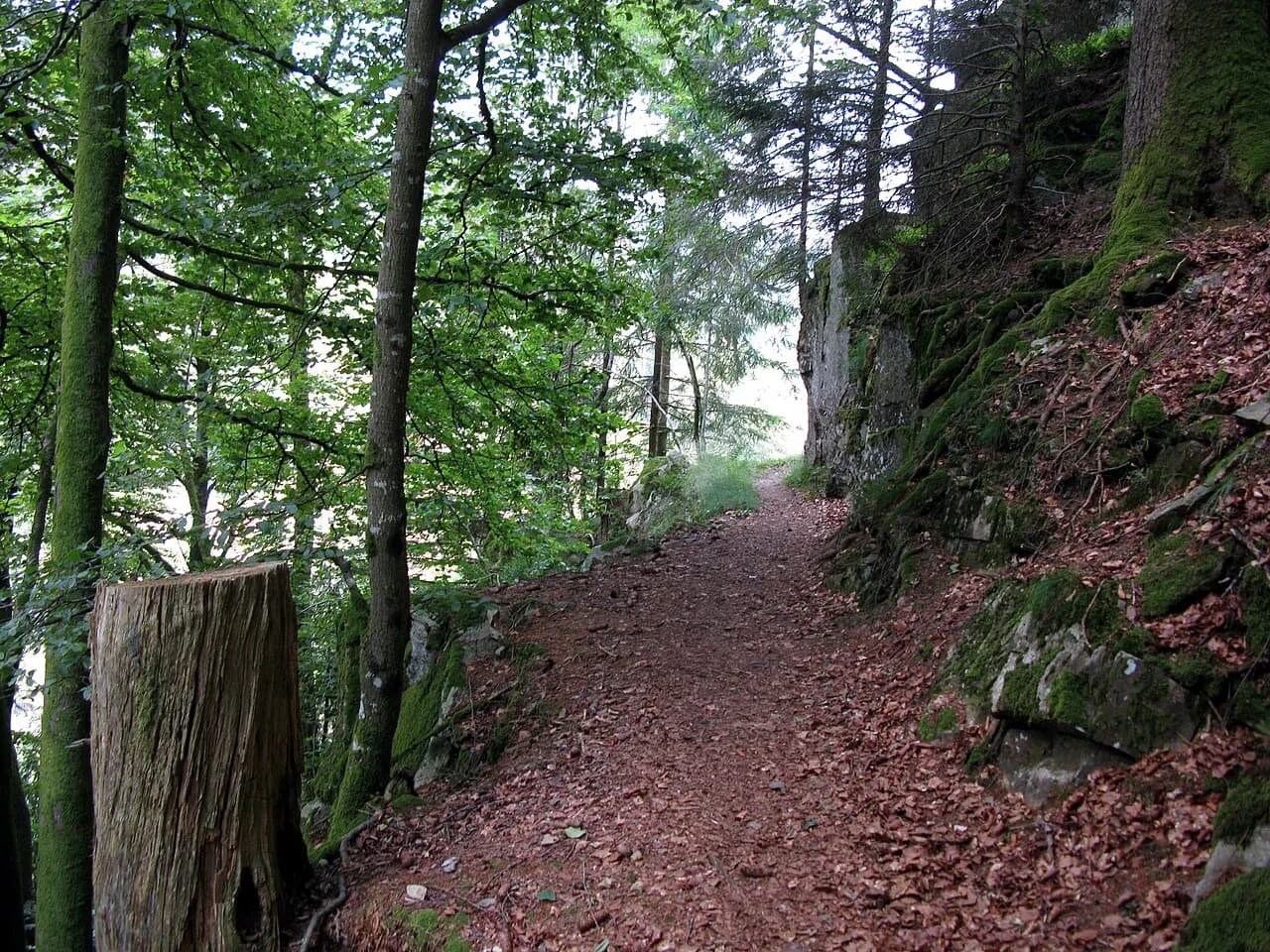
The Blumberg to Schattenmühle stage shows the character of the trail at its best. Steps and small ladders lead out of Blumberg through the narrow Schleifenbach gorge and past its waterfall, dropping back down to the Wutach.
That stage is a good template for how to pace the week: short sections of steep, stepped ground followed by riverside walking that lets you recover. Treat any day with ladders and stream crossings as a slower day when you set the schedule, particularly after rain.
Gorges, waterfalls and lookout points
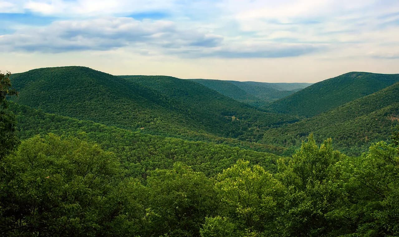
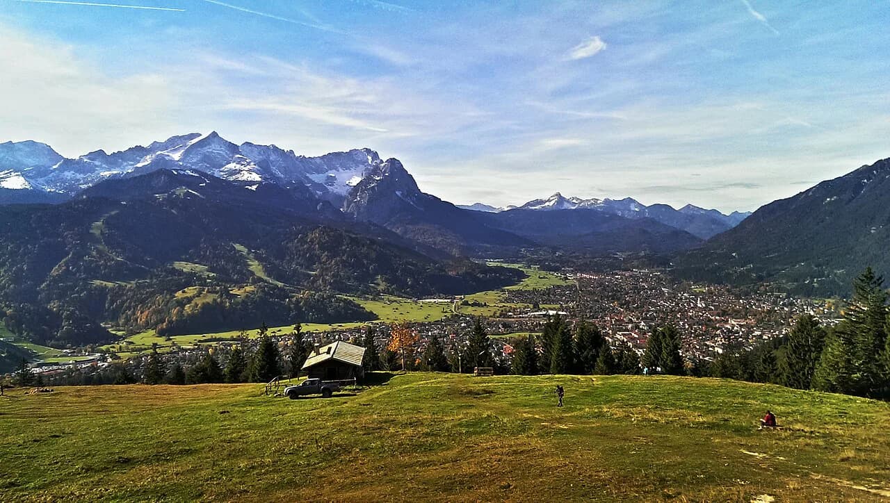
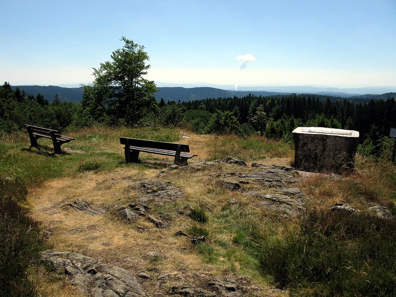
What separates the Schluchtensteig from a generic ridge walk is the alternation between gorge floors and high viewpoints. The Wutach corridor and its side streams deliver the waterfall and ravine scenery, while the climbs to pulpits such as Krummenkreuz open up wide views over the forested valleys.
If you only have a day in the region and want gorge scenery without committing to the full traverse, the Ravenna Gorge Hike in the Black Forest gives a concentrated version of the same terrain. For open summit views rather than ravines, the Feldberg hike covers the highest ground in the Black Forest on a separate outing.
Huts, guesthouses and campsites
Overnight options along the Schluchtensteig are guesthouses and hotels in the villages, plus campsites along the way. Book ahead for the nights that fall on weekends or in the main walking season, and confirm each property's location relative to the trail before you commit, since a village can sit well below the path.
With villages appearing several times a day, you can choose between short days with more comfortable lodging and longer days that trade comfort for fewer bookings. Keep a printed list of your nightly stops and a backup option in each village, because a single unavailable room can otherwise derail a fixed itinerary.
Water and food supplies
Water is generally easy to find, drawn from streams, springs, wells and public facilities, though it may need filtering before you drink it. Carry a filter or treatment tablets rather than relying on the next spring appearing exactly when you need it.
Food is the easier problem: you can usually buy groceries daily or eat at a guesthouse or restaurant. That said, carry a day's reserve of energy food, since shop hours in small villages are limited and the gap between settlements can stretch across a whole afternoon of climbing.
Wild camping, campfires and dogs
Wild camping is not allowed on the Schluchtensteig, so plan your nights around guesthouses and established campsites. Campfires are prohibited as well, and the rules can tighten when fire risk rises, so follow current public notices on the ground rather than the guidance you read before leaving.
Dogs are allowed on the trail, which makes it one of the more flexible long-distance options for hikers travelling with a dog. Expect leads and extra care in the stepped gorge sections, where a dog will need help on the ladders.
Best months and winter conditions
The Schluchtensteig is described as walkable in every month of the year and is also accessible in winter, which gives you unusual freedom in choosing dates. Late spring and early autumn usually give the most comfortable walking temperatures, while high summer brings the best conditions for the waterfall sections.
Winter access does not mean winter conditions are simple. Snow and ice on the higher ground around Krummenkreuz and on shaded gorge steps change the difficulty considerably, so match your dates and kit to the conditions reported locally rather than to the trail's year-round status.
Exposure and terrain
The route is not suitable for hikers with a fear of heights. Ladders, steps and narrow gorge paths put you on exposed ground, and the trail's rating of demanding reflects that rather than sheer distance alone.
In practice, the sections to watch are the stepped descents into the Wutach gorge and the climbs back out. Wet rock makes these slower and more serious, so plan shorter days when rain is forecast and keep your hands free for the ladders.
Section hiking and day walks
You do not have to walk the whole route. Villages appear several times a day, and sections are accessible individually, which makes the trail workable as a series of day walks based in one place. The Blumberg to Schattenmühle stretch is the obvious single-day choice if you want the gorge and waterfall scenery in one outing.
For a broader picture of where the Schluchtensteig sits among the region's trails and bases, the Black Forest Hiking guide maps out the main walking areas and how they connect.
Plan Your Schluchtensteig Trip
Decide first whether you are walking the full 119 km (74 mi) traverse or using the accessible sections as day walks, because that choice sets your accommodation, transport and packing. Through-hikers should lock in six days of beds before booking travel, while day walkers can base themselves in one village and pick stages by weather.
Pack for mixed ground: grippy shoes with stiff soles for ladders and wet rock, a filter for spring and stream water, and a day's food reserve. Leave the camping plan at home, since wild camping is prohibited, and build the itinerary around guesthouses and campsites instead.
Frequently Asked Questions
How long does the Schluchtensteig take to hike?
Most hikers plan about six days for the full 119 km route. The pace depends on how you split the climbing, and slower groups should add a day rather than rush the gorge sections. Day walkers can use individual stages instead.
Where does the Schluchtensteig start and finish?
It is a linear route through the Southern Black Forest Nature Park, running between the area around Wehr at its low point and the high ground at Krummenkreuz. It can be walked in either direction, so pick your start based on bus and rail connections from EuroAirport Basel-Mulhouse-Freiburg.
Can you wild camp on the Schluchtensteig?
No. Wild camping is not allowed on the trail. Overnight stays are in guesthouses, hotels and campsites in the villages along the route, and campfires are prohibited as well.
Is the Schluchtensteig suitable for hikers with a fear of heights?
It is not recommended for people with a fear of heights. The route includes ladders, steps and narrow gorge paths on exposed ground, which is part of why it is rated demanding.
When is the best time to hike the Schluchtensteig?
The trail is described as walkable in every month and accessible in winter. Late spring and early autumn usually give the most comfortable temperatures, while winter brings snow and ice on the higher ground and shaded gorge steps.
How do you get to the Schluchtensteig trailhead?
EuroAirport Basel-Mulhouse-Freiburg is the practical gateway, with bus and train connections reaching the starting point in about two hours. Allow roughly three hours for the return from the finish to the airport.
Are dogs allowed on the Schluchtensteig?
Yes, dogs are allowed on the trail. Keep them on a lead and be ready to help them on the ladders and stepped sections in the gorges.
How much ascent does the Schluchtensteig involve?
The route gains about 3,550 m and loses about 3,650 m over its 119 km, so the climbing is spread across the whole traverse rather than concentrated in one summit day.
Sources
Trail notes for your next trip
Optional updates when we add or revise hiking guides.
You might also like
Continue reading
More guides you'll find useful