São Miguel Hikes: 10 Best Trails, Distances and When to Go
Plan São Miguel hikes around Sete Cidades, Lagoa do Fogo and Pico da Vara, with distances, walking times, difficulty and the best months to go.
On this page
São Miguel has more maintained hiking trails than any other island in the Azores, and the range runs from flat lakeside circuits to ridge walks along the rim of volcanic calderas. Most routes are waymarked with red-and-yellow paint and can be walked without a guide, so your main decisions are which trails fit your fitness, how many days you have and where you base yourself.
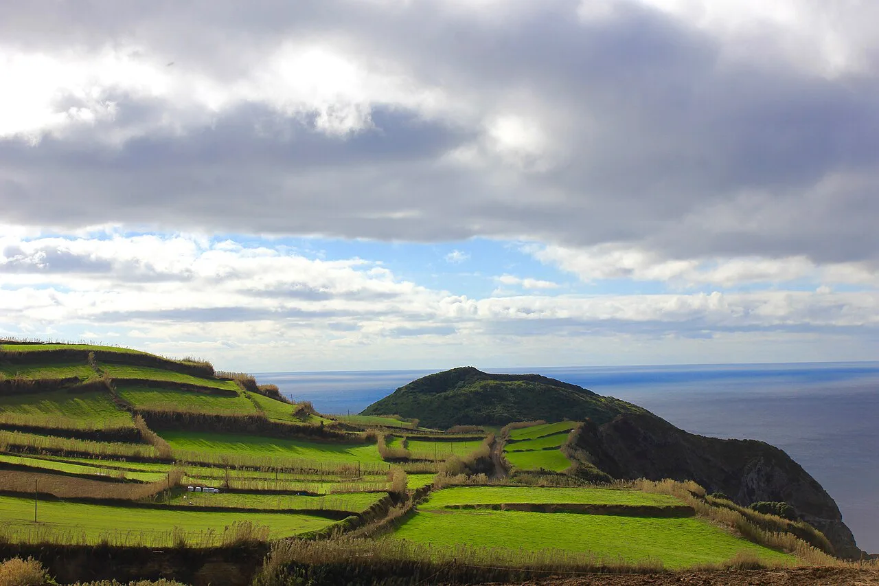
Two landscapes dominate the planning. The Sete Cidades massif in the west holds the twin crater lakes and the island's best ridge walk, while the volcanic interior above the south coast hides Lagoa do Fogo, a lake with no road access. The east and northeast add laurisilva forest, waterfalls and the island's highest summit.
What São Miguel offers hikers and who each trail suits
A two-day visitor should spend one day on the Sete Cidades rim and one on Lagoa do Fogo, because those two walks deliver the island's signature scenery. With four or five days you can add Furnas, Pico da Vara and a short forest trail without rushing any of them. Base yourself in Ponta Delgada for the west and south trails, and in Furnas or Nordeste for the east. If you're weighing island caldera walks against a similar volcanic trip, hiking in Tenerife offers the same rim-and-crater decisions at a larger scale.
Distances on the island run from a 1.3 km (0.8 mi) stroll to an 11 km (6.8 mi) caldera descent, and the trail categories are easy, medium and hard. Several of the best routes are linear rather than circular, which shapes your transport before you even set out. Expect mud after rain, wind and cloud on the rims, and very few facilities once you leave the trailhead.
Sete Cidades: the Cumeeiras ridge walk and Serra Devassa circuit
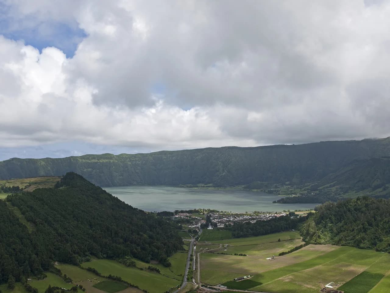
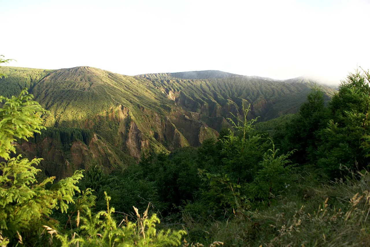
The Cumeeiras trail follows the rim of the Sete Cidades caldera above Lagoa Azul and Lagoa Verde, making it the best ridge walk on the island. The full version links the Cumeeira Grande and Cumeeira Pequena sections, so the path shifts from cliff edges to open pastoral ridge to forested descent. It is a circular route of 7.5 km (4.66 mi) rated medium, and most walkers take around 3 hours.
Cloud is the variable that decides your day here: the caldera often fills in by late morning, especially in summer, so an early start matters more than any other choice you make. If you want the ridge without the crowds, walk the Serra Devassa circuit on the same massif instead. It is a 5 km (3.1 mi) medium loop of about 2 hours past small crater lakes including Lagoa das Éguas and Lagoa Rasa, and it sees far fewer people.
Walkers who drop off the rim into the village of Sete Cidades finish among cafes by the lakeshore, with the final stretch descending steeply on a quiet concrete road. That descent is hard on the knees, so poles earn their place if you have them. From the village you arrange a taxi back up to the viewpoint car park rather than retracing the whole rim.
Lagoa do Fogo: the caldera descent from the south coast
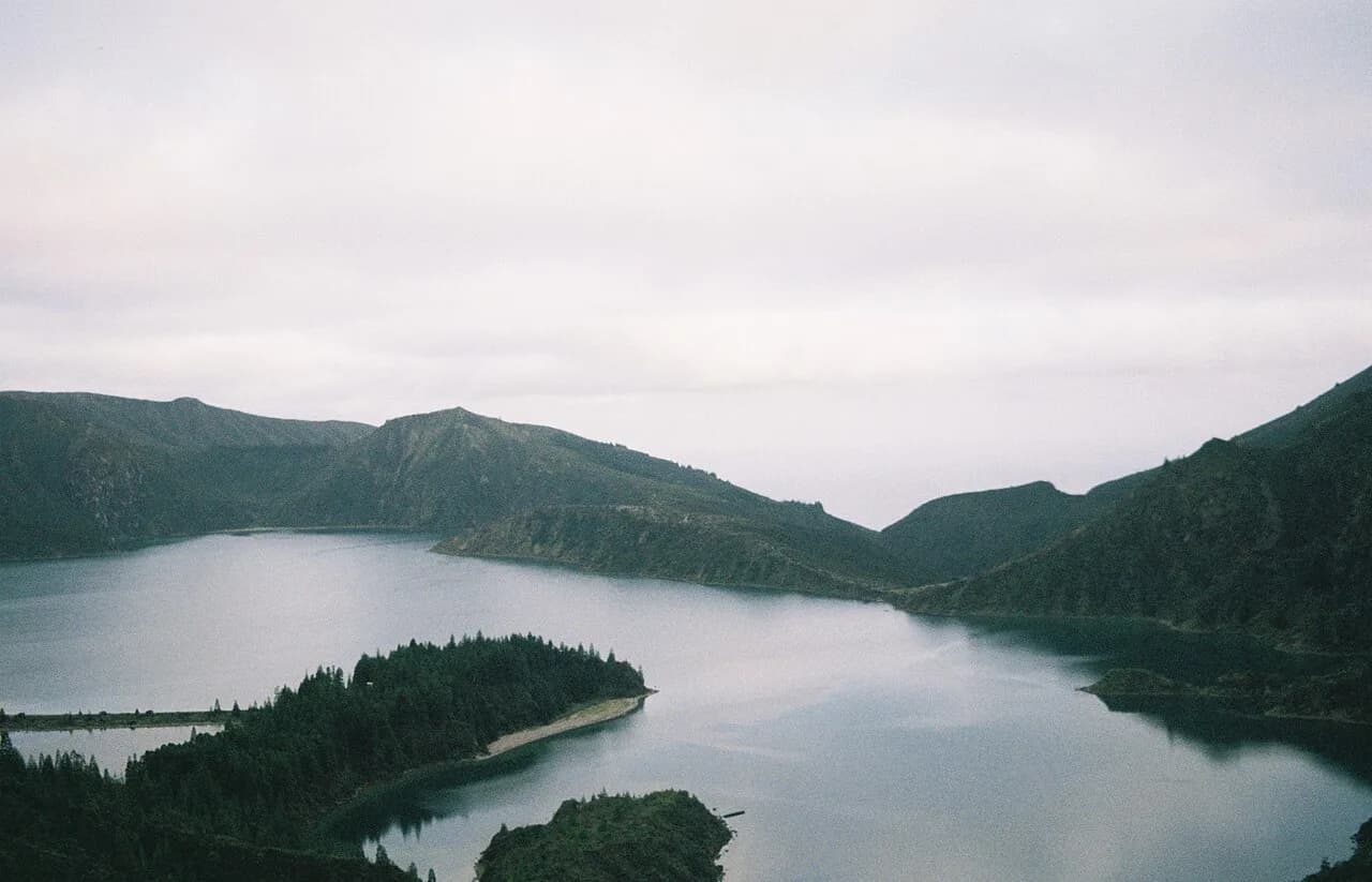
Lagoa do Fogo is the scenery hike most visitors remember: the route climbs through open terrain from near Água D'Alto on the south coast, crosses the crater rim and drops into the caldera to a protected lake with no road. It is a linear 11 km (6.8 mi) route rated medium to hard, and it takes roughly 4 hours 30 minutes. The ground changes constantly, from farm track to mountain path to forest to gravel road.
The first 2 to 3 km (1.2 to 1.9 mi) are the steepest part, and the gradient eases once you are up on the plateau. Pay attention to the waymarks where the path meets a large pipe and a small cabin, because the sign there is easy to walk past. Because the route is one-way, you need a second car, a pre-booked transfer or a long walk back unless you arrange a pick-up.
Start early: cloud commonly covers the caldera walls and lake by midday, and clear morning light is what makes the descent worthwhile. There are no facilities on the route, so carry all your water and food. The lake shore is a protected site, so the descent is for viewing and the ascent is how you leave.
Furnas: Lagoa das Furnas circuit, Pico do Ferro and Grená Park
The Lagoa das Furnas circuit is the island's easy big day: a flat 9.5 km (5.9 mi) loop of about 3 hours around the lake, past wooden sculptures, picnic areas and viewpoints. Its highlight is the caldeiras section, where volcanic vents along the shore hold pots of Cozido das Furnas cooking in the ground. The trail also connects to the Grená and Pico do Ferro routes, so you can build a longer day from the same base.
Pico do Ferro is the short, sharp option above the lake: a climb of about 2 km (1.2 mi) that takes roughly an hour and ten minutes to a viewpoint over the water. Park by the lake, look for a small cabin on the right in front of the water and find the trail opposite it, since the start carries no markers. The route out and back follows the same path; the upper loop path is closed, so plan on returning the way you came and leave the loop out of your day.
Grená Park charges an entrance fee, which is worth knowing before you build a day around it; confirm the current amount and hours with the park when you arrive. Inside, the trail follows the tallest waterfall on São Miguel, with stairs and handrails on the steep sections, on a 3.5 km (2.1 mi) medium circuit of about 1 hour 30 minutes. The top gives views over Furnas Lake, and the park also holds old ruins and ancient trees.
Pico da Vara: the island's highest summit and laurisilva forest
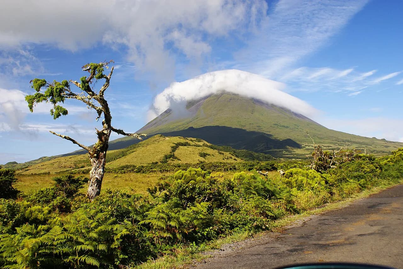
Pico da Vara is São Miguel's highest point at 1,103 m (3,619 ft), standing inside the São Miguel Natural Park in the northeast. The trail is a linear 7 km (4.3 mi) route rated hard, and most walkers need around 3 hours 30 minutes for the round trip. It runs through the primary habitat of the Azores Bullfinch, or priolo, one of the world's rarest birds, whose range is restricted to this stretch of laurisilva forest.
Dense vegetation on both sides of the path, steep sections and fast-changing summit conditions make this the most demanding walk on the island. You can park on the roadside right where the path begins, and the surface alternates between wooden steps and muddy forest trail. The red-and-yellow markers are frequent enough to follow even in cloud.
A clear summit gives panoramic views across the island, but cloud can close in quickly at this height. Carry waterproof layers and footwear with grip whatever the coastal forecast says, because the summit weather runs wetter and windier than the coast. Out-and-back is the described route, so you return the way you came.
Faial da Terra: Sanguinho village and Salto do Prego waterfall
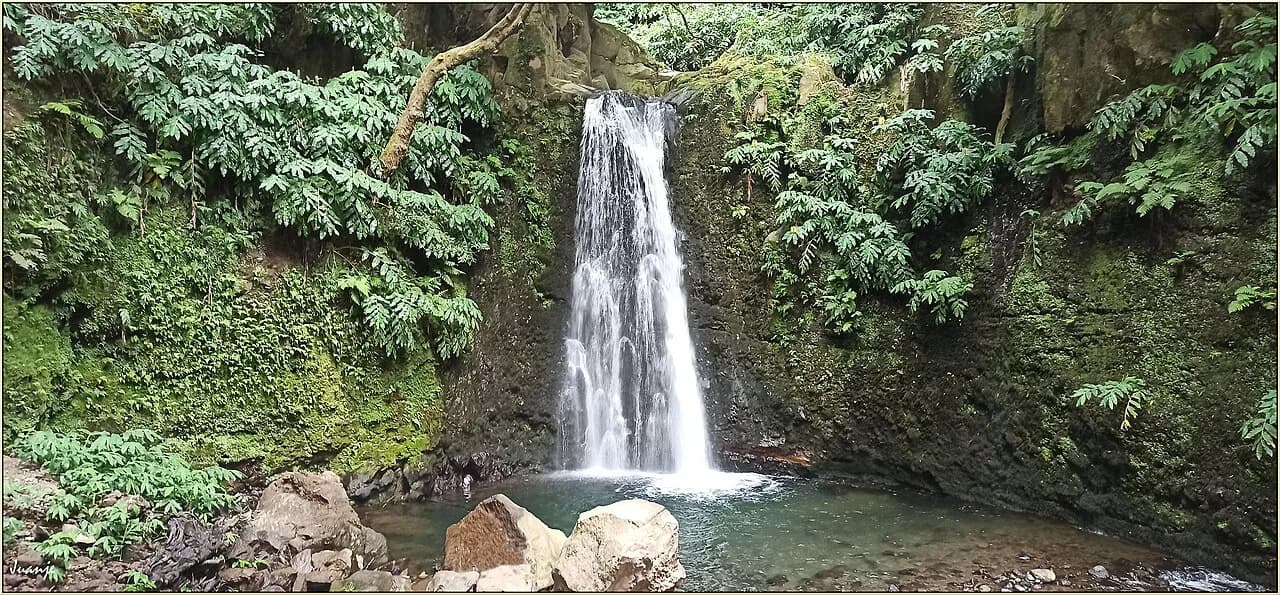
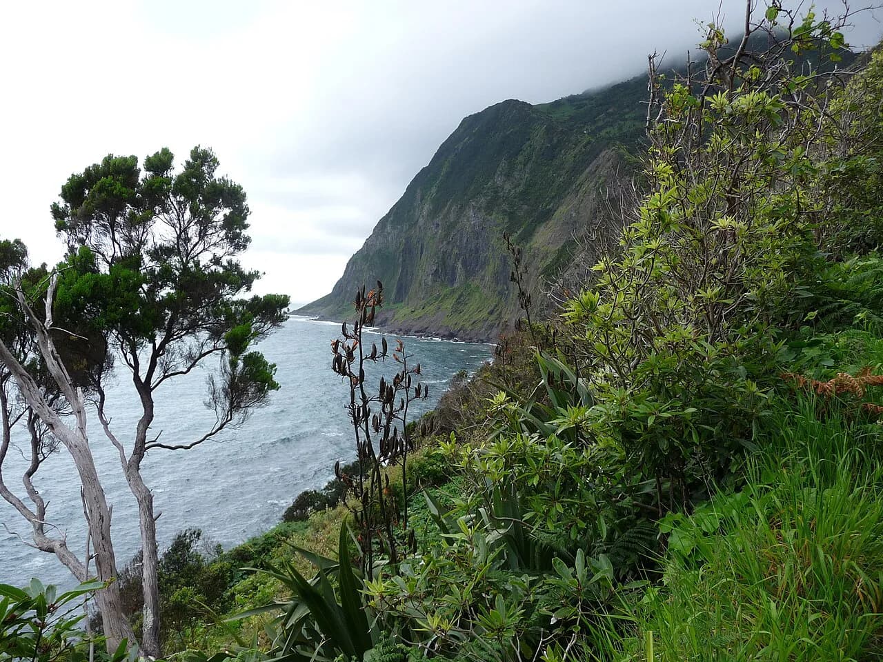
The Sanguinho trail starts at the end of Faial da Terra in the northeast, pushes through some of the densest laurisilva on the island to the restored village of Sanguinho and drops to the Salto do Prego waterfall. It is a linear 4.5 km (2.8 mi) route rated medium, taking about 2 hours. The forest is the draw as much as the water, and the falls are a legitimate destination in themselves.
Because the trailheads sit at different points, you need a shuttle or two cars to walk it one way; guided versions handle that logistics for you. The path starts near a bus stop at the edge of the village and follows a mountain path up and down, turning right about 2 km (1.2 mi) in where the route to the falls is signposted. On the way back, climb to the junction and follow the signs towards Sanguinho to loop through the old village before returning to your start.
Short and easy trails: Poço Azul, Lagoa do Congro and Salto do Cabrito
Poço Azul in Nordeste is a 1.3 km (0.8 mi) circular trail of about an hour leading to a natural pool, and it works best as a half-day when you are already in the northeast. The area sees fewer visitors than the west or east ends of the island, so it makes a quiet counterpoint to a Furnas day.
Lagoa do Congro is a short out-and-back of 1.4 km (0.87 mi), about an hour, through shaded forest to a still crater lake in the southeast. Pair it with a Furnas visit rather than making it the day's main objective. It is one of the island's easy trails and needs no planning beyond footwear that copes with damp ground.
Salto do Cabrito near Ribeira Grande is a 4 km (2.5 mi) medium circuit of roughly 2 hours that ends at a waterfall, with geothermal scenery along the approach. It suits a half-day from Ponta Delgada or Ribeira Grande when the weather rules out the high rims.
Gorreana tea plantation walk on the north coast
The Gorreana circuit starts and ends at the tea factory on the north coast and takes you out into the heart of the tea terraces, away from the busy tasting room. It is a 3.4 km (2.11 mi) circular route rated easy, and it takes about 1 hour 15 minutes. The tracks are wide and clear for most of the way, with a slightly trickier stretch in the higher part of the plantation.
Harvesting happens whether or not visitors are there, so you may see workers out in the fields with strimmers; it is a working plantation, not a demonstration. On a clear day the upper sections give wide Atlantic views. The route is short enough to combine with a factory visit in the same morning.
Getting to trailheads: car, guided transfers and one-way routes
A rental car is the practical way to reach trailheads spread across the island, and most walkers drive to the main routes each morning. The linear trails are the ones that need thought: Lagoa do Fogo, Sanguinho to Salto do Prego and Pico da Vara do not bring you back to your vehicle. For those, use a second car, a pre-arranged transfer or a guided version that includes transport, and sort it out before the day rather than at the trailhead.
Guided hikes cover the main routes, including Lagoa do Fogo, Salto do Prego, Salto do Cabrito, Boca do Inferno at Sete Cidades and Gorreana, and the guiding company handles transport so you do not need to leave a car at each end. A guide adds most value on Pico da Vara, where forest paths are less obvious, and on Sanguinho, where the shuttle is part of the day. Walking holidays built around São Miguel often bundle these transfers with lodging. Check current prices and dates before booking.
When to go: cloud, wind and the best months on the crater rims
Spring from April to June and autumn from September to October give the most stable conditions and fewer walkers, which suits the rim trails best. Summer is warm but busy, with cloud forming on the calderas by late morning, so start early. Winter is mild but wetter, and some trails turn muddy.
Conditions change fast on the island, and the crater rims get more wind and cloud than the coast, so waterproof layers are the item you pack regardless of the forecast. Sturdy footwear with grip matters on volcanic ground, wet roots and steep concrete. Because views are the point on the rim walks, build in a spare slot in your itinerary so a cloudy morning does not cost you Lagoa do Fogo.
Huts, facilities and what to carry
São Miguel has no mountain hut network: these are day walks from a vehicle or a town, and the island's lodging sits in the villages and around Ponta Delgada rather than at altitude. Water is the practical issue, because most trails have no facilities at all. Carry everything you will drink and eat for the day, plus a waterproof shell and a lightweight warm layer for the wind on the rims.
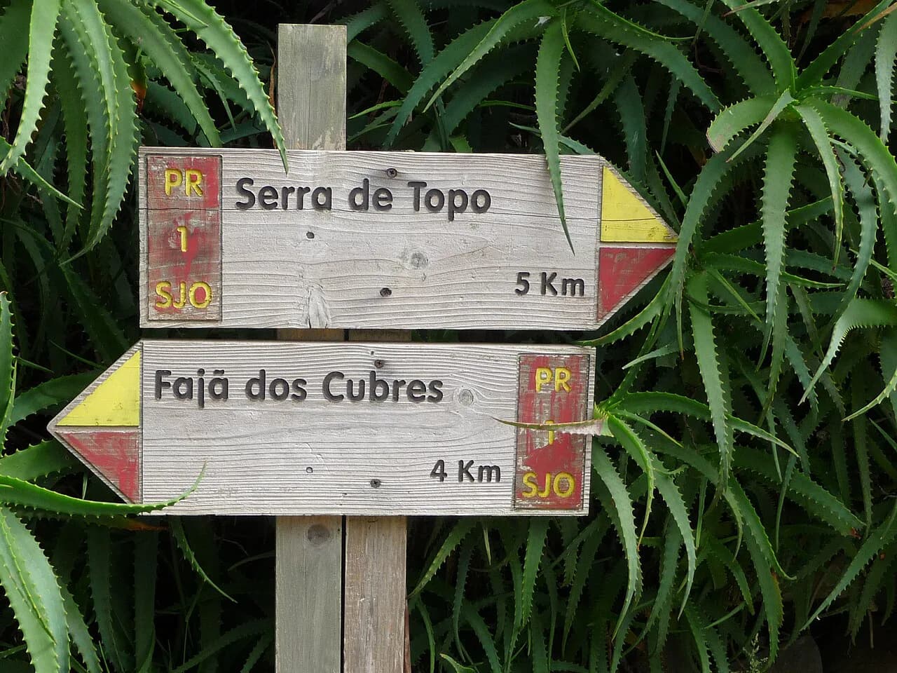
Bank on mud on the forest trails and cold, wet weather at altitude on Pico da Vara, and wear footwear you do not mind soaking. Walking poles pay off on the steep concrete descent into Sete Cidades and on the opening climb of Lagoa do Fogo. Many routes are free and open year-round, and the red-and-yellow waymarks make navigation manageable without a guide.
Which trail fits your fitness, time and base
If you have one day, walk the Cumeeiras ridge or the Lagoa do Fogo descent, and pick the ridge if you want to leave the car in one place. With two or three days, add the Furnas lake circuit and a short forest trail, then use a clear morning for Pico da Vara. Travellers with knee trouble should choose the rolling Furnas and Gorreana walks over the steep rim descents.
Base in Ponta Delgada for the Sete Cidades and Lagoa do Fogo side of the island, and move east to Furnas or Nordeste if your priority is Pico da Vara, Poço Azul and the Furnas trails. Villa Franca do Campo works for Lagoa do Congro and the south coast. Each base cuts driving time on the days that matter most.
Plan Your São Miguel Hiking Days
Start with the two headline trails, the Cumeeiras ridge at Sete Cidades and the Lagoa do Fogo caldera descent, and protect an early start for both. Then fill the rest of your week according to base and fitness: Furnas for flat lake walking and hot springs, Nordeste for Pico da Vara and Poço Azul, and the north coast for the Gorreana tea terraces.
Sort transport before you set out, especially for the one-way routes that leave you at a different trailhead from your car. Carry water for every walk, pack a waterproof layer even on sunny forecasts, and keep one flexible day in reserve for the clearest morning of your trip.
Frequently Asked Questions
What are the best hikes in São Miguel?
Lagoa do Fogo offers the strongest scenery, a full descent into a roadless volcanic caldera on an 11 km route of about 4 hours 30 minutes. The Cumeeiras ridge above Sete Cidades is the island's best rim walk, and the Sanguinho to Salto do Prego trail combines dense laurisilva forest with a waterfall. Shorter options include the Gorreana tea terraces and Lagoa do Congro.
How long is the Lagoa do Fogo hike?
The walk covers 11 km (6.8 mi) one way and typically takes around 4 hours 30 minutes, rated medium to hard. The first 2 to 3 km are the steepest. Because it is linear and finishes away from the start, arrange a second car or transfer before you set off.
Is the Pico da Vara hike hard?
Yes. The 7 km (4.3 mi) linear route to the 1,103 m summit is rated hard and takes about 3 hours 30 minutes, with dense vegetation, steep sections and wet, muddy ground. Cloud can close in fast at the top, so carry waterproof layers whatever the coast is doing.
Do you need a guide to hike in São Miguel?
Most routes are waymarked and can be walked independently without a guide. A guide earns its place on Pico da Vara, where the forest paths are less obvious, and on the Sanguinho trail, where a shuttle solves the different trailheads. Guided versions that include transport are available for the main trails.
When is the best time to hike in São Miguel?
April to June and September to October bring the most stable conditions and fewer walkers. Summer is warm but busy, with cloud on the calderas by late morning, so start early. Winter is mild but wetter, and some trails get muddy. Trails are open year-round.
Are São Miguel hiking trails free?
Most trails are free, open access and well signposted, including the Sete Cidades, Lagoa do Fogo, Pico da Vara, Furnas lake and Gorreana routes. Grená Park is the exception among the trails described here, and it charges an entrance fee that you settle with the park.
Sources
Trail notes for your next trip
Optional updates when we add or revise hiking guides.
You might also like
Continue reading
More guides you'll find useful