Lagoa do Fogo Hike, São Miguel: Trail, Difficulty and Route
Plan the Lagoa do Fogo hike on São Miguel: the 13 km (8 mile) trail from Fenais da Luz, its difficulty, the crater rim and the best months to walk it.
On this page
Lagoa do Fogo is the crater lake at the heart of São Miguel, and the walk up to it is a proper full-day route rather than a roadside photo stop. The trail runs 13 km (8 mi) and takes about four hours, with stair-like climbs over uneven ground and a medium-to-hard difficulty rating that assumes you already walk regularly. It suits hikers with a full day and sturdy boots, and it rewards them with a quiet climb through native vegetation followed by the lake filling the crater below the rim.
What the hike offers and who it suits
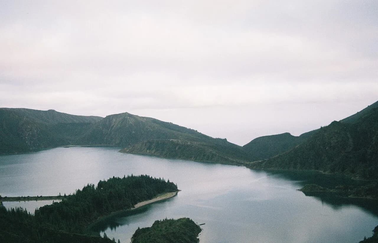
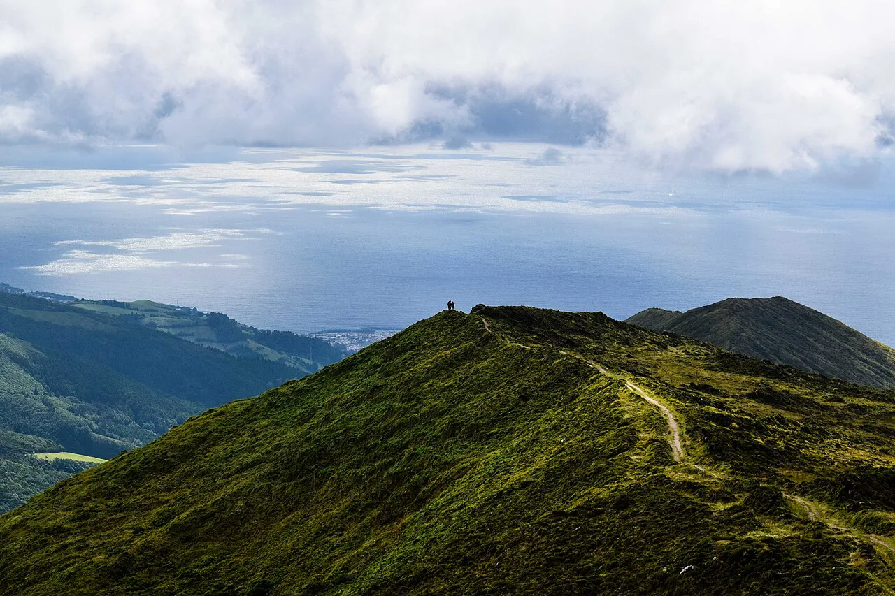
The payoff is the sudden view of Lagoa do Fogo, a protected crater lake ringed by steep green walls, seen after a sustained climb on a dirt path. The route also opens onto the north coast and the town of Vila Franca do Campo below, so the walk is as much about the changing landscape as the lake itself. Because it is a long half-to-full day rather than a short stroll, it fits fitter hikers or anyone willing to start early and keep a steady pace.
Where the hike starts and finishes on São Miguel
The trail is generally described as starting at Fenais da Luz, on the north side of the island, and climbing toward the crater rim. From there the route continues around the lake area before descending on a different path through pasture and vegetation, which is what makes it a point-to-point walk rather than an out-and-back. That shape means you need transport arranged at both ends, or a guide who sorts the transfer for you.
Trailhead access: reaching Fenais da Luz and the crater rim
Getting to Fenais da Luz is easiest by car, and most independent hikers park near the village and arrange a pickup at the finish rather than returning to the start. Guided full-day hikes handle the logistics for you, typically collecting walkers in Ponta Delgada and driving to the trailhead. If you are basing yourself without a car, look at guided options first, because the point-to-point layout makes public transport awkward on your own.
Distance, ascent and time
The route is 13 km (8 mi) long and takes about four hours at a steady pace, with a medium-to-hard difficulty rating. Those figures describe walking time only, so add stops for photos, lunch and the rim itself when you plan the day. The climb is the demanding part, with a sustained ascent on uneven, sometimes stepped ground, followed by a descent that is gentler on the lungs but harder on the knees.
Route description: the climb through pasture and native vegetation
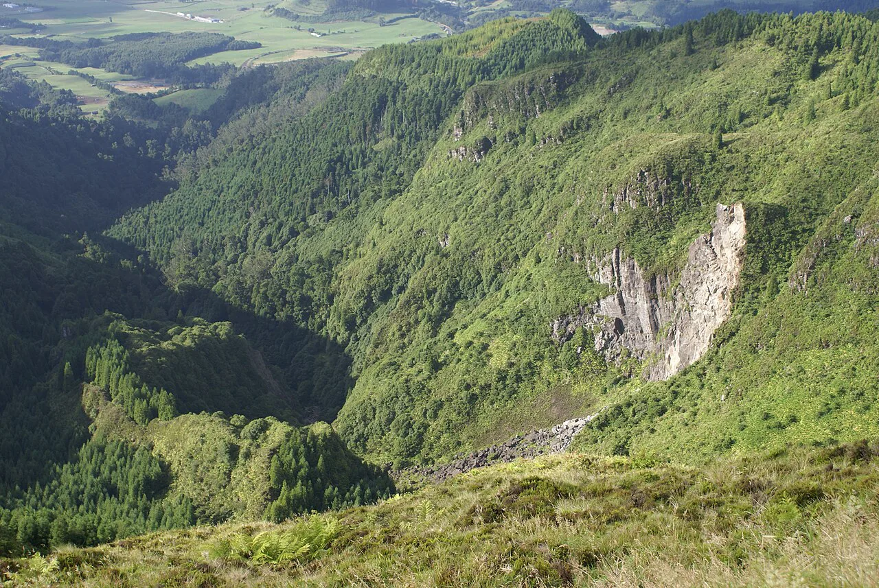
The walk begins on a dirt path that climbs steadily through farmland and scrub, passing stands of New Zealand flax and other dense greenery. As you gain height the track becomes rougher and more exposed, with sections that feel like rough steps rather than a smooth trail. The higher you go, the more the vegetation thins and the wider the views open over the surrounding ridges.
Near the top the path reaches the edge of the crater, where the ground drops away toward the lake. Take the time to walk along the rim for different angles on the water, then follow the return path, which cuts back through pasture on a separate line from the climb. Walking the two halves as different routes is what gives the day its variety.
Views over the crater lake and the north coast
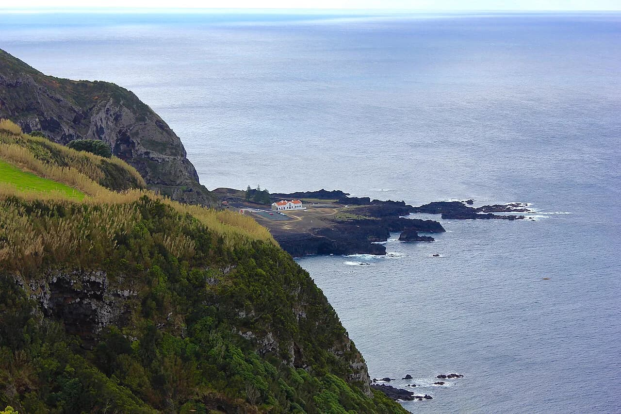
The lake sits inside a deep crater, so the best views come from the rim rather than the shore, where the walls close in around you. From the high points you also look north over the coast and down toward Vila Franca do Campo, a contrast between quiet water and open Atlantic. Cloud can pour over the rim quickly, so plan your photo stops for the moments when the crater is clear.
The lake and the protected area
Lagoa do Fogo lies within a protected area, and the walk is about looking at the lake and its surroundings rather than treating it as a swimming stop. The route stays on established paths through the vegetation, which keeps the crater edge in good condition for the next walker. Pack out everything you bring, since there are no facilities up on the rim.
When to go: seasons, weather and the crater rim
São Miguel is green for a reason, and the crater rim catches cloud and rain even when the coast is sunny, so pick a day with a settled forecast and start early. Summer gives the longest dry windows, while spring and autumn bring fewer walkers and softer light on the water. On the exposed upper sections, wind and sudden showers are the main concerns, so carry a shell even on a bright morning.
Guided hikes versus walking the trail yourself
Guided full-day hikes suit anyone who wants the transport, a local guide and the interpretation of the island's plants and geology without planning the logistics. Self-guided walkers get more freedom over pace and photo stops, but need to arrange their own transfer between Fenais da Luz and the finish. Choose guided if the point-to-point layout or the navigation on the upper path worries you, and self-guided if you prefer to move at your own speed.
Gear and what to carry
Sturdy hiking boots with grippy soles matter on the loose, stepped sections, and a light waterproof layer earns its place on the exposed rim. Bring water, snacks and a packed lunch, since the route has no reliable places to buy food once you leave the village. A hat, sunscreen and a spare layer cover the changeable conditions between coast and crater.
Safety on open, uneven ground
The upper trail is rough and uneven, with loose footing and a steep drop into the crater once you reach the rim, so keep back from the edge and watch your step on the descent. Weather can change fast at height, and low cloud can make the path harder to follow, so turn back if visibility closes in. Tell someone your plan and carry a charged phone for the journey out.
Nearby hiking areas worth a second day
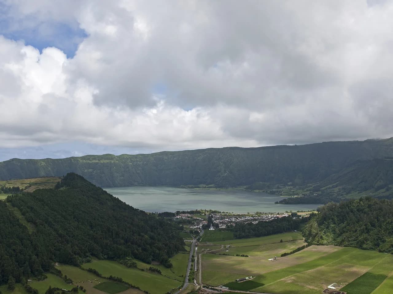
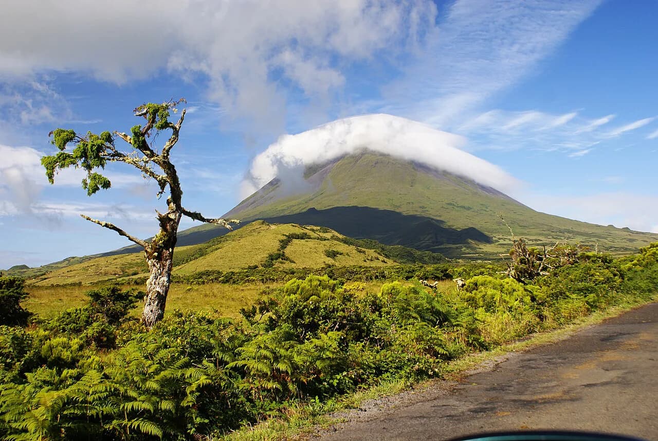
The Sete Cidades crater and its twin lakes make a natural second day on São Miguel, with gentler rim walks and viewpoints looking down on the water. For a bigger challenge, the climb up Mount Pico on the neighbouring island of Pico rewards fit hikers with Portugal's highest summit, outside São Miguel but part of the same Azores chain. If you are weighing another island against this one, hiking in Madeira offers a similar mix of crater lakes and levada walks. Base yourself in Ponta Delgada or on the north coast to reach both Lagoa do Fogo and Sete Cidades without long drives.
Plan Your Lagoa do Fogo Hike
Treat Lagoa do Fogo as a full day: 13 km (8 mi) of climbing and descending, about four hours of walking, and a medium-to-hard grade that rewards steady fitness and proper boots. Sort your transport between Fenais da Luz and the finish before you set out, or join a guided full-day hike that handles the logistics. Start early, watch the cloud on the rim and leave time for the lake view before the weather turns.
Frequently Asked Questions
How long does the Lagoa do Fogo hike take?
Most walkers need about four hours of walking on the 13 km (8 mi) route from Fenais da Luz to the crater rim and back down. Add extra time for photo stops, lunch and the climb along the rim, which makes it a comfortable full-day outing.
How difficult is the Lagoa do Fogo hike?
The trail is rated medium to hard, with a sustained climb on a dirt path and rough, uneven footing near the crater rim. Hikers who walk regularly and wear sturdy boots will find it manageable; those new to hill walking may prefer a guided full-day hike for the pace and logistics.
Where does the Lagoa do Fogo trail start?
The route is generally described as starting at Fenais da Luz on the north side of São Miguel and finishing on a different path through pasture. Because it is point to point, arrange a pickup at the finish or join a guided hike that includes the transfer.
Can you swim in Lagoa do Fogo?
The lake sits in a protected crater area, and this route is a walk along the edge and rim rather than a swim trip. Keep to the paths, look at the lake from the viewpoints and pack out everything you carry.
What is the best time of year to hike to Lagoa do Fogo?
Summer offers the longest settled weather windows, while spring and autumn bring fewer walkers and softer light on the water. Whatever the season, start early and carry a waterproof layer, because cloud and showers can build on the crater rim even when the coast is clear.
Sources
Trail notes for your next trip
Optional updates when we add or revise hiking guides.
You might also like
Continue reading
More guides you'll find useful