Sete Cidades Hike, São Miguel: Route, Distance and Trailhead
Plan the Sete Cidades hike on São Miguel from Mata do Canário: crater-rim route to the village, distance, ascent, timing and taxi return.
On this page
The Sete Cidades hike follows the rim of a collapsed volcanic caldera on the western tip of São Miguel, with the twin lakes Lagoa Azul and Lagoa Verde below on one side and the Atlantic away on the other. It suits reasonably fit hikers who want a half day of open, high-ground walking rather than a technical mountain route, and who are willing to sort out a return transfer before setting off.
What the hike delivers
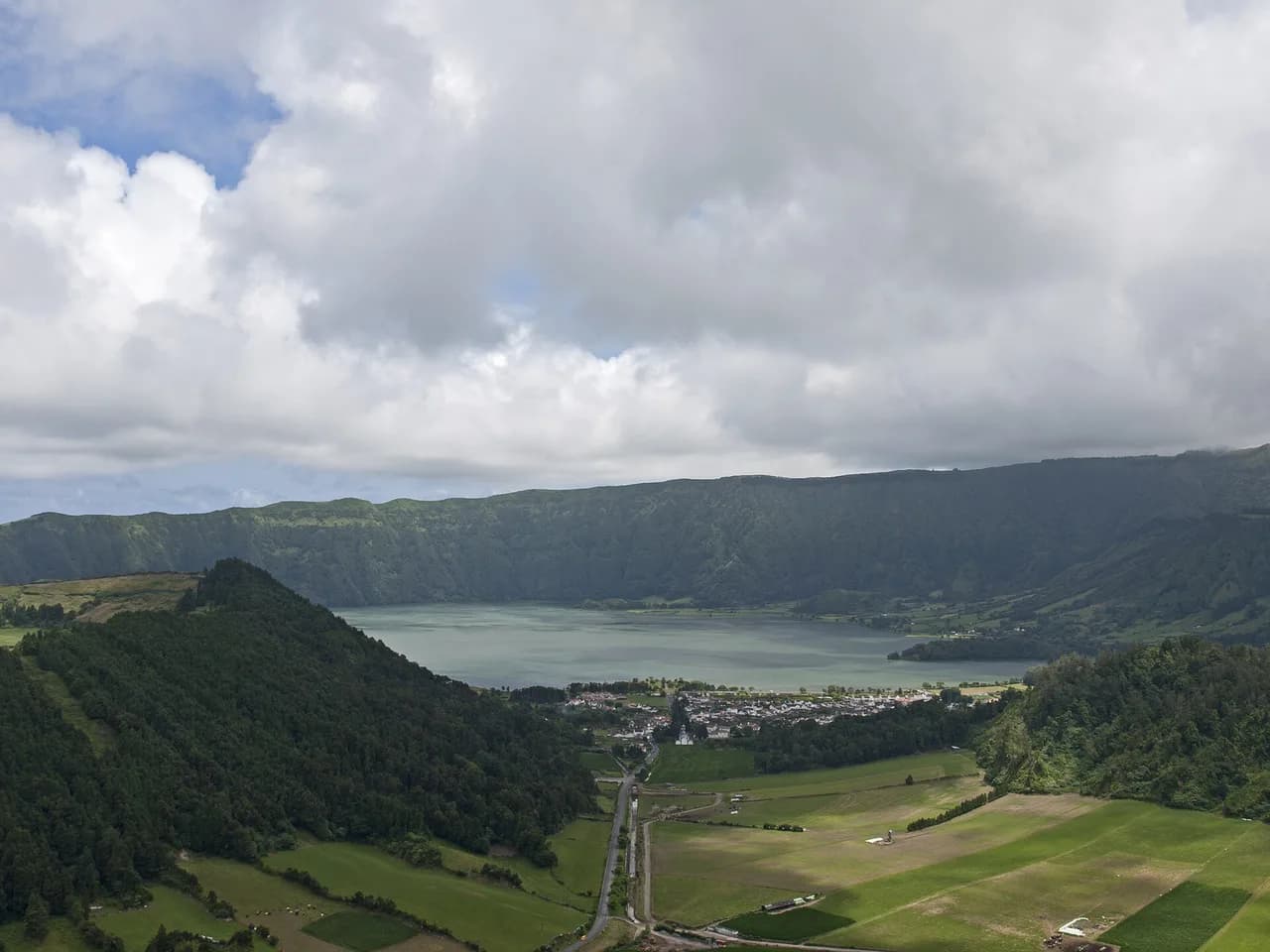
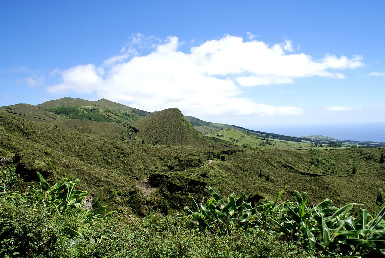
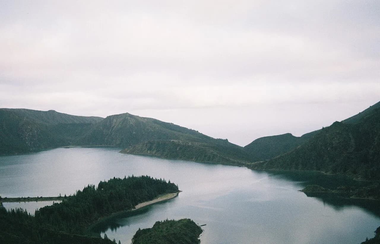
Two lakes fill the floor of the caldera: Lagoa Azul to the north, which reads deep blue under clear skies, and Lagoa Verde to the south, which keeps a green tint whatever the weather. The crater walls rise above 800 m (2,625 ft) at points, and the rim route puts both lakes and the village on the narrow bridge between them in view at once.
This is moderate walking on dirt and gravel, mostly along the crater rim and then down farm tracks. There is very little shade on the rim, so sun and wind matter more here than technical difficulty. If you want the fuller picture of what the island offers beyond this caldera, browse the wider guide to hiking in azores before you fix your itinerary.
Trailhead and parking at Mata do Canário
The recommended start is the parking area at Mata do Canário, where a trail map stands at the lot. From there the route sets off on a dirt road and passes the Muro das Nove Janelas, a moss-covered old building sitting directly on the path.
Beyond the wall the road climbs steeply to the viewpoint over Lagoa Verde and Lagoa Azul; this pitch carries most of the day's ascent, after which the gradient eases. Park at Mata do Canário and arrange your ride back up from the village before you start, or leave a second car at lake level.
Route description
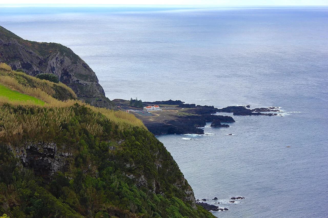
From the viewpoint the route follows a wide dirt and gravel path that hugs the crater rim. The opening stretch has the most dramatic scenery, descending gradually along the ridge with the lakes below on one side and the ocean in the distance on the other.
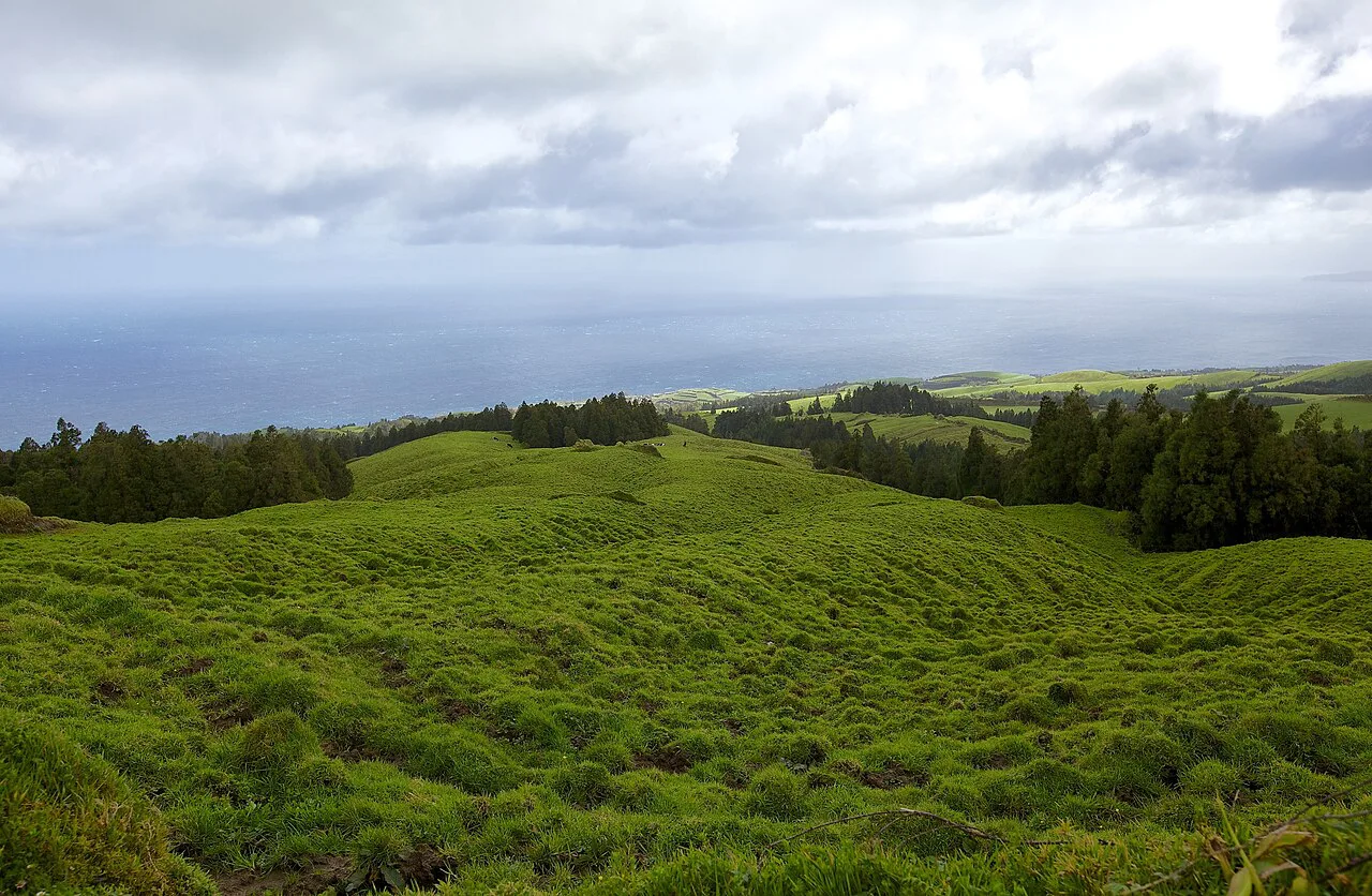
The path then undulates along the rim before a more noticeable descent. You pass gates and cattle pastures on the way, and you share parts of the track with quad bikes, dirt bikes and the occasional car, so keep an eye behind you on the wider sections.
Eventually the route leaves the rim and winds downhill through a mix of grassy fields and gravel roads. The final stretch into Sete Cidades village is steep in places, and it drops you at the water's edge among a few cafés and the church.
Distance, ascent and time
The one-way route runs about 13 km (8 miles), with roughly 210 m (700 ft) of climbing and considerably more descending, since you start high on the rim and finish at lake level. Plan on a moderate day out rather than a short stroll, and add time for the viewpoint stops that make the route worth doing.
The separate PR01 SMI trail from Boca do Inferno is often confused with the rim route: it is a circuit of roughly 12 km (7.5 miles) taking 3 to 4 hours, descending into the caldera, following the lakeshore through the village and climbing back out. Treat that as its own day, not a variant of the point-to-point walk.
Alternative formats
Hiking out and back from Mata do Canário avoids the road walking entirely: turn around at whatever point suits your legs and time, and retrace the rim. It doubles nothing except the distance you choose, and it removes the transfer problem completely.
A full loop through the village descends as far as the lakeshore and then follows the road back uphill to the parking lot, which means much more climbing and a long stretch alongside traffic. Going all the way around the rim is longer again, with more ascent and time on a busy road. Pick the one-way version if you want the best scenery for the least road walking.
Getting back from Sete Cidades village
The village has a taxi stand by the church, and one driver shuttles hikers back up to the rim; you may need to ask in the nearby restaurant to find them. Expect a modest fare rather than a fixed published rate, and have cash with you.
The alternatives are leaving a second car in the village before you drive up, arranging a shuttle as part of a guided day, or walking back the way you came if you have the legs for double the distance. Decide which one before you leave the trailhead, because mobile coverage and transport in the caldera are not things to rely on at the end of the day.
Getting to the trailhead from Ponta Delgada
By car the caldera is about 45 minutes from Ponta Delgada, heading west on the EN1-1A and then north on regional roads to the rim, with signposted turns throughout. A rental car is the practical way to reach the viewpoints and the caldera floor, since there is no convenient public bus service to them.
Tour operators in Ponta Delgada run half-day and full-day trips around the western circuit, which solves the transport question and the return leg in one go. Those trips typically combine the rim with Mosteiros and Ponta da Ferraria, so check what the day includes before booking if you specifically want the rim walk.
When to go
Clear mornings give the best visibility, and cloud can build over the caldera rim quickly as the day goes on. Start early, and expect that a cloudy start from Ponta Delgada does not settle the question at rim height, where conditions differ from the coast.
The road descending from Vista do Rei into the village runs between walls of hydrangeas from June through August, dense enough to meet overhead in places. The caldera works year-round, but autumn and winter bring more cloud and a real chance of arriving to a mist-filled crater rather than the classic view.
Terrain, footing and what to carry
Footing is uneven in sections and turns muddy after rain, so trail shoes or hiking boots with grip are more useful than road trainers. The rim is largely open and exposed to sun and wind, so carry a windproof layer even when Ponta Delgada is warm, plus water, snacks and a hat.
The most likely hazard is the weather turning on the high ground: cloud can roll across the rim fast, and wet gravel and grass on the descent into the village get slippery. If visibility drops, stay on the main gravel track rather than cutting across pasture, and give the cattle and their gates room.
The village stop
Sete Cidades village is small, with a few hundred residents, a handful of restaurants and cafés, and the 19th-century Church of São Nicolau sitting on the bridge between the two lakes. It is the natural place to finish, and eating here saves you the 45-minute drive back before lunch.
Kayaks, canoes and paddleboards are rented near the lakeshore in the village, seasonally from May through October, and the water is calm with no motorized traffic on it. If you finish the walk early enough, an hour on the lake shows the crater walls from an angle the rim path cannot.
Other viewpoints on the same caldera
Vista do Rei, at around 550 m (1,800 ft), shows both lakes, the village and the church on the bridge in one frame, with a café, toilets and a souvenir stand on site. It gets busy between 10am and 2pm when tour groups arrive, so go early or late in the day for the light and the space.
Boca do Inferno looks north over Lagoa do Canário and west toward the ocean, and Lagoa do Canário itself has a perimeter path of about 20 minutes that sees far fewer visitors than the main viewpoints. For other days on the island, compare the São Miguel hikes in this collection, including the climb above Lagoa do Fogo, before you commit your week.
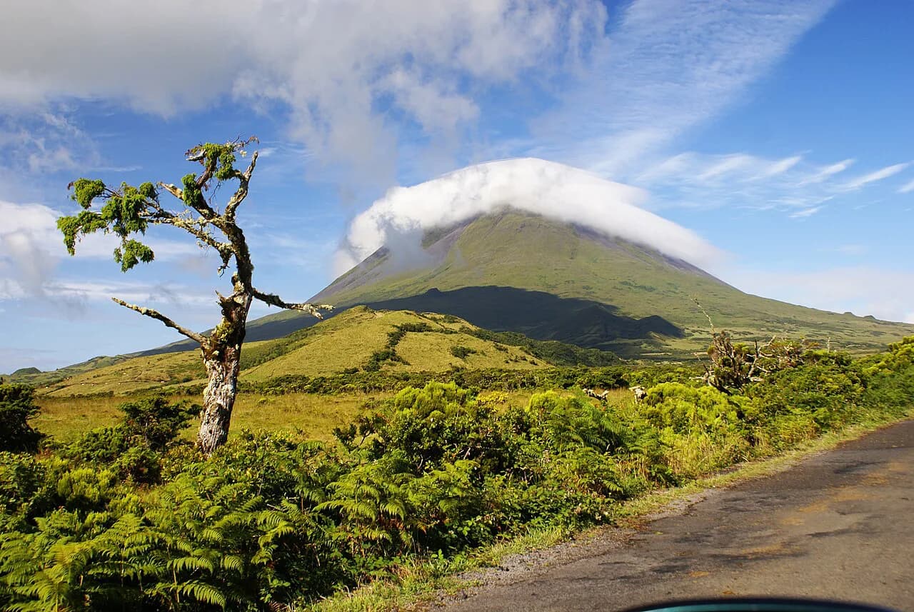
If you are building a longer island itinerary, keep Mount Pico on the list for a different island and a much bigger day, and look at organised azores walking holidays if you would rather have huts, transfers and luggage sorted for you. If you are comparing Atlantic island trips, the Madeira hiking guide covers the levada walks and mountain trails that make a natural counterpart to this caldera route.
Plan Your Visit
The strongest version of the Sete Cidades hike is the one-way rim route: park at Mata do Canário, walk past the Muro das Nove Janelas, take the climb to the twin-lake viewpoint, then follow the rim and the farm tracks down into the village. Fix your return first, start early enough to walk in clear morning light, and carry a windproof layer.
Add Vista do Rei or Boca do Inferno as short stops on the drive, and keep the PR01 SMI circuit for a separate day if you want the full descent to the lakeshore. For the island-wide picture, use the guide to hiking in azores to slot this walk into a wider trip.
Frequently Asked Questions
How long is the Sete Cidades hike?
The one-way rim route from Mata do Canário to Sete Cidades village covers about 13 km (8 miles) with a moderate amount of climbing and more descent. The separate Boca do Inferno circuit, which descends to the lakeshore and returns, is roughly 12 km (7.5 miles) and takes 3 to 4 hours.
How difficult is the Sete Cidades hike?
It is moderate. The surface is dirt and gravel with some uneven and muddy sections, the climb to the viewpoint is steep for a short stretch, and there is very little shade on the rim. Reasonable fitness and grippy shoes are enough; no scrambling is involved.
Where do you park for the Sete Cidades hike?
Park at the Mata do Canário lot, where a trail map is posted. Because the one-way route finishes at lake level, either leave a second car in the village or arrange the taxi from the church before you set off.
Can you hike Sete Cidades as a loop?
Yes, two ways. Hiking out and back along the rim avoids road walking; the full loop through the village or all the way around the rim adds significant climbing and time alongside traffic.
How do you get back from Sete Cidades village after the hike?
Take the taxi from the stand beside the church, use a second car left in the village, or walk back the way you came. Fix that plan at the trailhead rather than hoping to sort it out at the end.
When is the best time to hike Sete Cidades?
Clear mornings are best, since cloud builds over the caldera later in the day. The hydrangeas along the road from Vista do Rei into the village peak from June to August, and summer weekends are the busiest.
Is the Boca do Inferno trail the same as the crater rim hike?
No. Boca do Inferno starts at its own viewpoint on the rim and descends into the caldera to the lakeshore before climbing back out. The rim route from Mata do Canário runs above the lakes and drops into the village without returning along the same path.
Sources
Trail notes for your next trip
Optional updates when we add or revise hiking guides.
You might also like
Continue reading
More guides you'll find useful