Stubai Hohenweg: Austria Hut-to-Hut Hiking Guide
Plan a hut-to-hut trek above Austria's Stubai Valley: the 79 km Stubai Rucksack Route in 9 stages, hut altitudes, access villages and the summer season.
On this page
The Stubai Hohenweg is the classic high route above the Stubai Valley in Tyrol, a chain of waymarked stages that links mountain huts across the Stubai Alps. It suits fit walkers who want consecutive nights in alpine huts and long days above the tree line, with the option of adding summit side trips. The most detailed published version is the Stubai Rucksack Route, a 79 km (49 mile) circuit split into nine stages.
Two related routes share the same range but demand different skills. The Stubai Glacier Tour is a 60 km (37 mile) route in seven stages, extended to eleven with the South Tyrol option, and it crosses glacier terrain. The Gschnitztaler Rundtour covers 67 km (42 miles) in seven stages through quieter valleys. Choosing between them comes down to whether you want a waymarked hut circuit or a route that requires glacier equipment and experience.
Trailhead and access
The circuit begins and ends in the Stubai Valley, with Neustift im Stubaital as the main village and centre. Neustift has a regular bus service from Innsbruck, and the neighbouring villages of Fulpmes, Telfes and Mieders also give access to the route. Plan your valley base around which stage you start or finish, because the opening and closing walks leave from different villages.
The first stage runs from Neder to the Innsbrucker Hut, and the final stage brings you back down to Neustift, with an alternative finish at Fulpmes. Village guesthouses work well for the night before and after the trek, and you can leave a bag at your valley accommodation for the days on the hill. If you are building a wider Tyrol itinerary around the walk, the hiking in austria guide covers other regions and their access points, and the Innsbruck hiking guide is a useful next stop given the city's bus link to Neustift.
Distance, ascent and time
The Stubai Rucksack Route totals 79 km (49 miles) across nine stages, which works out at roughly 8 to 10 km (5 to 6 miles) a day with a hut at the end of each. Each stage climbs to a pass or ridge and drops to the next hut, so expect sustained up and down rather than a single long climb. The published guide carries elevation profiles for every trek, which is the sensible way to match daily effort to your fitness before you commit to a hut booking.
A typical day starts with a climb of several hundred metres from the hut, crosses a named pass or saddle, and descends to the next hut in time for dinner. Walking time depends on your pace and the snow or scree underfoot, so treat any single figure as a baseline rather than a promise. The practical way to size the days is to read the stage profiles and add time for the optional summit excursions, which turn a standard day into a much longer one.
Route description stage by stage
The route opens at Neder and climbs to the Innsbrucker Hut at 2369 m (7772 ft), with the Habicht and Kalkwand as optional excursions from the first days. Stage 2 crosses to the Bremer Hut at 2413 m (7917 ft), and stage 3 continues to the Nürnberger Hut at 2278 m (7474 ft) via the Simmingjochl. These first three days establish the pattern: a climb to a hut, a pass crossing, then a new valley and a new hut.
Stage 4 takes you from the Nürnberger Hut to the Sulzenau Hut at 2191 m (7188 ft), with two harder variants via the Mairspitze or the Wilder Freiger. Stage 5 climbs to the Dresdner Hut at 2308 m (7572 ft) by the Peiljoch, with the Grosser Trögler as an alternative. From the Dresdner Hut the route crosses the Grawagrubennieder to the Neue Regensburger Hut at 2286 m (7500 ft), then the Schrimmennieder to the Franz Senn Hut at 2147 m (7044 ft).
The last two days link the Franz Senn Hut to the Starkenburger Hut at 2237 m (7339 ft) and then drop back to Neustift, with a Fulpmes finish as the alternative. Strong parties can add the Hoher Burgstall above the Starkenburger Hut or build in the Lisenser Fernerkogel from the Franz Senn Hut. All of these are optional, and the main route stays on waymarked paths that need no climbing gear.
Huts on the route
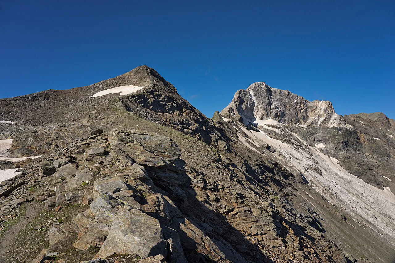
The huts on the circuit belong to the Austrian Alpine Club (ÖAV) network, and the guide includes a directory of every hut with its altitude. The main overnight stops are the Innsbrucker, Bremer, Nürnberger, Sulzenau, Dresdner, Neue Regensburger, Franz Senn and Starkenburger huts, listed in order along the route. Several more huts sit on the variants and extensions, including the Hoch Stubai Hut at 3174 m (10413 ft) and the Müller Hut at 3145 m (10318 ft) on the glacier tour.
Hut nights usually come with dinner and breakfast, and the guide covers hut meals and menus alongside a kit list. Book directly with the huts or through the ÖAV well ahead of a summer trip, because the stage sequence fixes where you sleep each night and there is no alternative shelter between huts. Carry cash and a sleeping bag liner, and confirm your booking details with the ÖAV before you set out.
Shorter versions and day walks
You do not have to walk all nine stages. The stage structure lets you start or leave the circuit at several huts, so a four- or five-day section is realistic if you pick a continuous block and arrange valley transport at both ends. The guide also describes day walks and excursions from the valley, which suit walkers who want a hut lunch or a summit without a full traverse.
The Stubai Glacier Tour and the Gschnitztaler Rundtour offer alternative multi-day routes in the same range. The Gschnitztaler Rundtour is the quieter of the two, with seven stages through remote valleys and rugged peaks. Neither is a substitute for the Rucksack Route if you want the classic hut-to-hut circuit, but they are worth comparing if your dates are fixed and you want a different stage count.
Difficulty and exposure
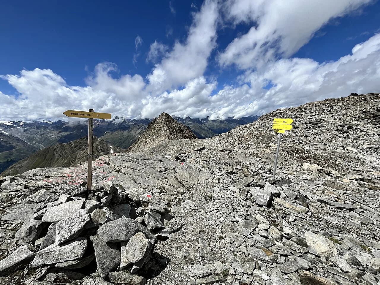
Every track and trail on the Rucksack Route is waymarked and frequently signposted, and away from the glaciers no special equipment or climbing skills are needed. That does not make it a valley walk: the route crosses high passes, and the guide notes exposure, snowfields and route-finding as real considerations on the stages. A head for heights and basic navigation skills belong on your kit list alongside boots and rain gear.
The Stubai Glacier Tour is a different proposition, with high-level terrain and glacier crossings that require appropriate equipment and experience. If you want to add glacier travel to your trip, treat it as a separate objective rather than an extension of the waymarked circuit. For vertical ground with fixed protection, compare the options in the austria via ferrata guide before deciding whether a guided day is the better fit.
When to go
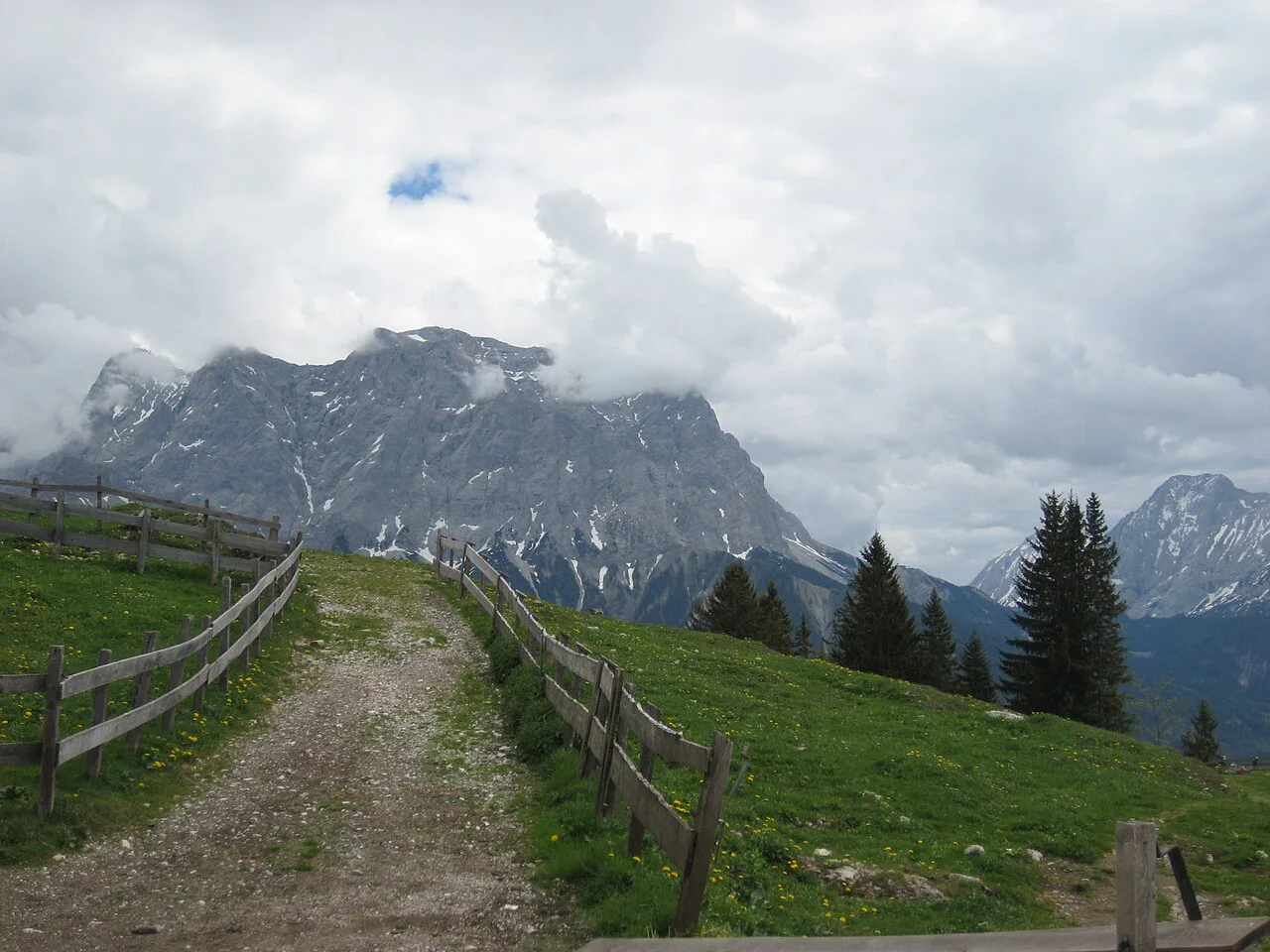
The summer alpine season runs from mid-June, when the huts open, to the end of September. Snow can linger on north-facing slopes well into July, so early-season trips may need extra care on shady descents and passes. Mid-July to mid-September is warmer and more settled, which makes it the best window for a hut-to-hut booking if your dates are flexible.
Build in a weather day or two rather than a tight schedule, because a storm on a pass can force a change of plan. Afternoon storms are common in the Alps, so start early on exposed stages. Hut opening dates vary by hut, so confirm with the ÖAV when you book rather than assuming every hut opens on the same day.
Guides, kit and navigation
The route is waymarked, but a paper map and a GPS track are worth carrying. The guide includes 1:50,000 mapping, and GPX files are available for download. Allow time to learn the route on the map before you go, so you can follow the stage descriptions even when cloud cuts visibility on a pass.
For the waymarked circuit, no special equipment is needed beyond normal mountain walking kit, but the optional summit ascents often require more. The Habicht, Zuckerhütl and Wilder Freiger are serious peaks, and the guide flags where specialist equipment or mountaineering skills may be required. A local mountain guide is the sensible choice if you want to add one of these summits without the relevant experience.
If you prefer your mountain days organised, the austria walking holidays options include guided formats in the Eastern Alps. They suit walkers who want a fixed itinerary and a guide's judgment on the passes, while the self-guided version of the Rucksack Route is for those happy to navigate and book huts themselves. Compare the two formats before you commit to a booking.
Plan Your Visit
Decide first which route you want: the waymarked Stubai Rucksack Route for a nine-stage hut circuit, the glacier tour if you have the equipment and experience, or the quieter Gschnitztaler Rundtour. Then fix your stage sequence, book the huts through the ÖAV, and pick a valley base in Neustift or one of the neighbouring villages that matches your start and finish.
Aim for mid-July to mid-September if you can, and keep two days spare for weather. Carry a map and a GPS track, start early on exposed days, and treat the optional summits as separate objectives. If you want a wider Tyrol itinerary around the trek, the austria hiking guide and the austria walking holidays page cover other regions and formats.
Frequently Asked Questions
How long does the Stubai Hohenweg take?
The published Stubai Rucksack Route is 79 km (49 miles) in nine stages, which usually means nine walking days with a hut night after each stage. Fit walkers can link stages or walk a shorter section, but there is no valley accommodation between the huts, so every stage must end at a hut or an access point.
How difficult is the Stubai Hohenweg?
The waymarked circuit is moderate to challenging mountain walking: expect long days, high passes and exposure, but no glacier travel and no special equipment. It suits fit walkers with a head for heights and basic navigation skills. The Stubai Glacier Tour is a step harder because it crosses glacier terrain.
Do you need a guide for the Stubai Hohenweg?
The route is waymarked and frequently signposted, so most experienced walkers do not need a guide for the standard circuit. A local mountain guide is worth considering if you plan to add the Habicht, the Zuckerhütl or the Wilder Freiger, because these peaks may require specialist equipment and mountaineering skills.
When do the huts on the Stubai Hohenweg open?
The summer hut season runs from mid-June to the end of September. Snow can linger on north-facing slopes into July, and the settled window from mid-July to mid-September is the best bet for a hut-to-hut booking. Confirm opening dates for individual huts with the Austrian Alpine Club when you book.
How do you get to the start of the Stubai Hohenweg from Innsbruck?
Take a bus from Innsbruck to Neustift im Stubaital, the main village and centre of the valley. Fulpmes, Telfes and Mieders are also served and give access to the route. From your valley base you can walk straight into the first or last stage.
Can you hike the Stubai Hohenweg in 4 or 5 days?
Yes, by walking a continuous block of stages and arranging valley transport at both ends. The full circuit is nine stages, but the stage structure lets you start or leave the route at several huts. Day walks and excursions also offer shorter options for a valley-based trip.
Do you cross glaciers on the Stubai Hohenweg?
On the standard Stubai Rucksack Route, no. The route is waymarked and needs no special equipment unless you venture onto the glaciers. Glacier crossings are a feature of the separate Stubai Glacier Tour, which requires appropriate equipment and experience.
Sources
Trail notes for your next trip
Optional updates when we add or revise hiking guides.
You might also like
Continue reading
More guides you'll find useful