Adlerweg: Tyrol's 33-Stage Eagle Walk Long-Distance Trail
The Adlerweg crosses Tyrol in 33 stages from St. Johann to the Arlberg Pass. See the route split, distance, ascent, stage highlights and hut basics.
On this page
The Adlerweg, or Eagle Walk, is Tyrol's signature long-distance trail: a route across the whole province that is named for the eagle silhouette it makes on the map. It suits experienced mountain walkers who want a multi-week traverse with hut nights and high passes, and it also works in slices for hikers with a week or two. The whole line runs from St. Johann in Tirol to the Arlberg Pass, with 33 stages in total.
What the Adlerweg is and who it suits
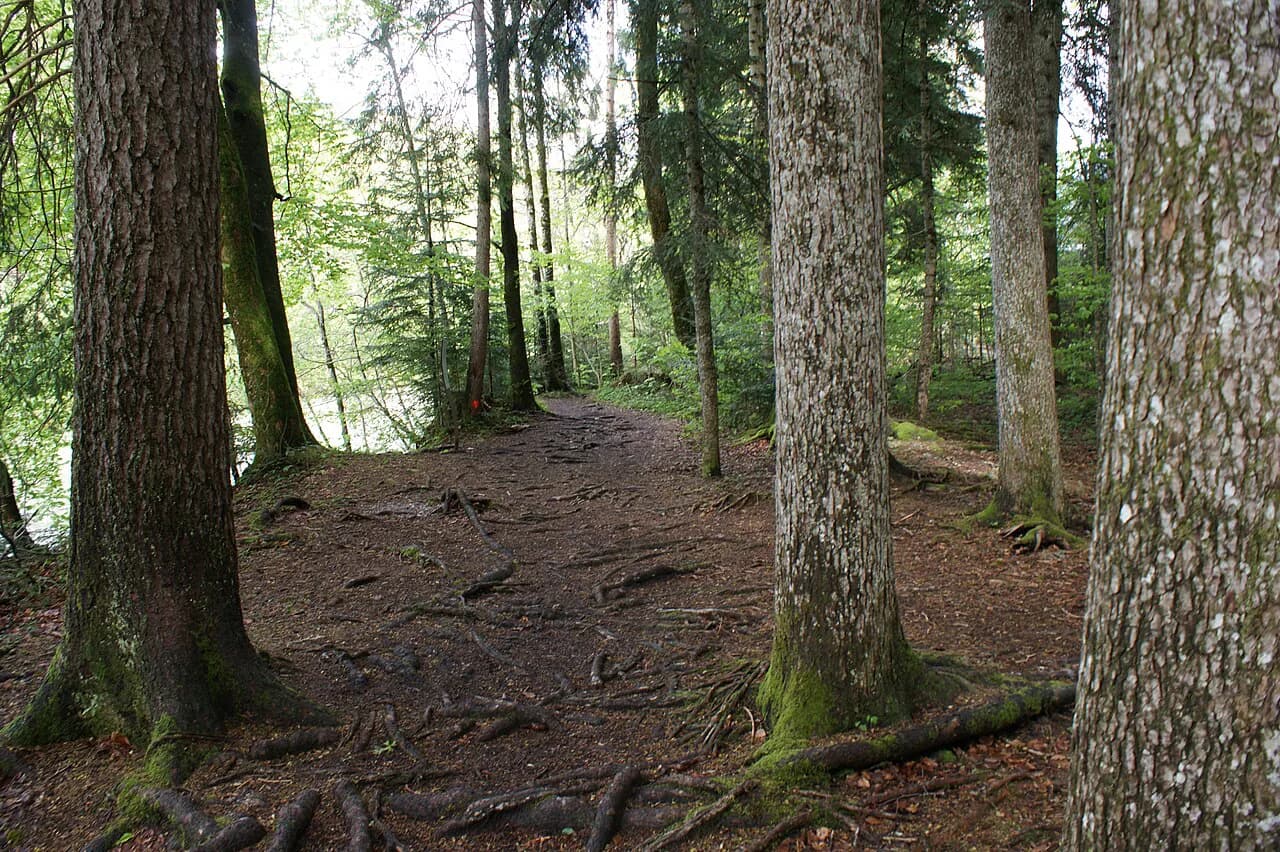
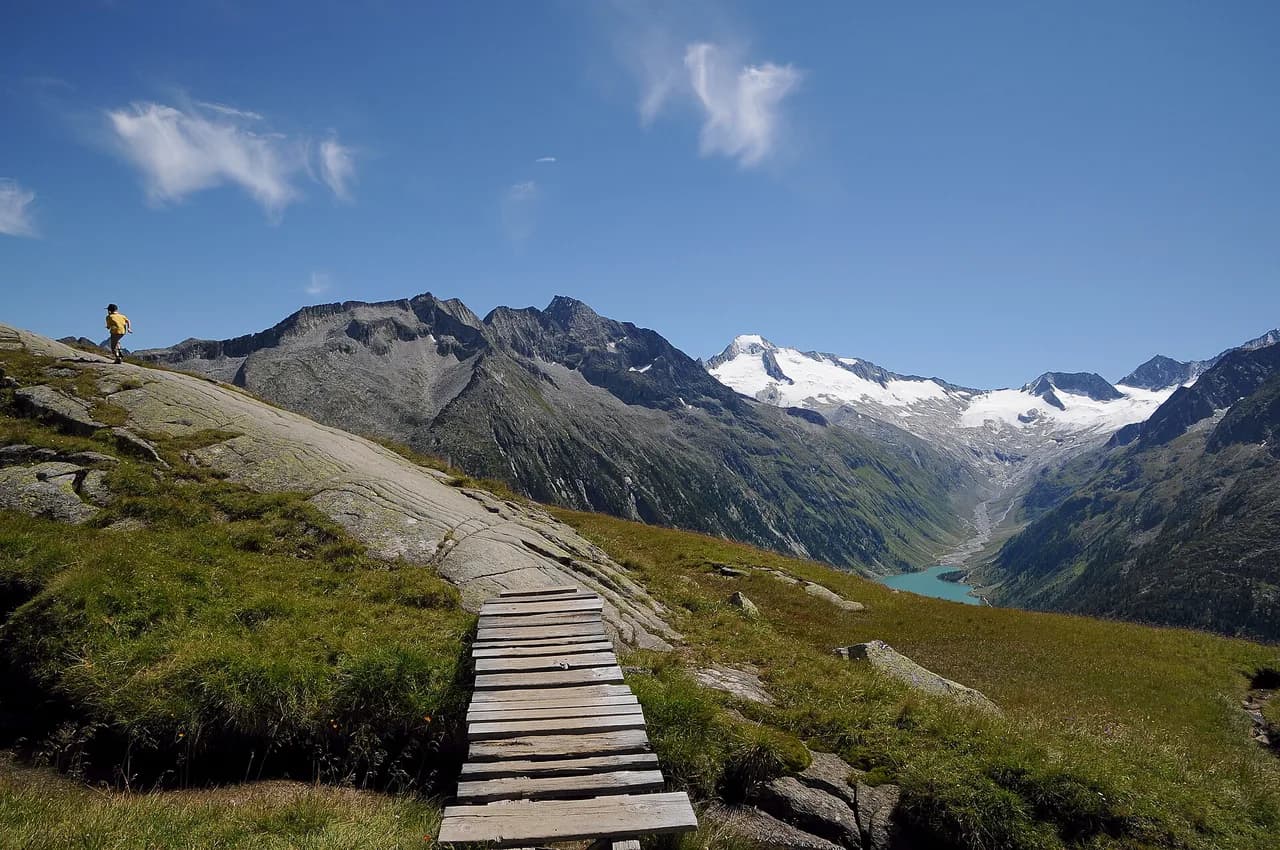
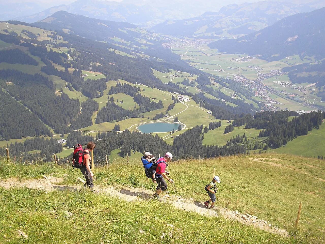
The route crosses meadow, rock and unspoiled mountain country, linking Tyrol's ranges rather than following a single valley. It is a genuine alpine mountain path rather than a stroll: the official route description rates overall condition at 5 out of 6 and technique at 4 out of 6, so you need mountain fitness and sure feet before you commit to the full traverse.
For fit hikers it is a season-sized project; for everyone else it is a menu. Walkers who enjoy long traverses in Austria usually treat a trail like this as the big trip of the year and build shorter routes around it. If you want an easier start to alpine walking before tackling the Adlerweg, the broader hiking in Austria coverage is the place to build fitness and navigation skills first.
Route layout: North Tyrol stages and the East Tyrol route
The trail is split into two routes. A main line of 24 day stages runs across North Tyrol from St. Johann in Tirol toward the Arlberg, while a second route of nine stages opens up the Glockner and Venediger groups in East Tyrol.
That split matters when you plan. The North Tyrol line gives you the classic sequence of Karwendel, Innsbruck, Leutasch, Ehrwald and the Arlberg stages and is the easier of the two to break into a one-week trip. The East Tyrol route is a separate high-mountain traverse in its own right, and it is listed in the stage overview as a 93.3 km (58 mi) route with 7,101 m (23,297 ft) of ascent.
Distance, ascent and walking time for the full trail
The official figures are 425 km (264 mi) over 33 days, with 28,463 m (93,383 ft) of ascent and 26,431 m (86,716 ft) of descent. Published summaries round the length to about 420 km or 426 km depending on the section, so treat the distance as roughly 425 km and plan by stage rather than chasing an exact total.
At 33 days, the full trail is a season commitment, not a holiday. The ascent is the real number to respect: close to 28,500 m is roughly three times the height of Everest from sea level, spread across a month of walking. If you have two weeks, choose the North Tyrol stages you most want and use the stage list to pick entry and exit points at villages and huts along the way.
Highest point and difficulty grades
The route tops out at 2,870 m (9,416 ft), high enough that snow can linger on the highest passes well into the early season and return in autumn. The official grading of condition 5/6 and technique 4/6 tells you this is a serious mountain route where some stretches demand alpine experience, sure footing and a head for heights.
Starting point: St. Johann in Tirol
The Adlerweg begins at St. Johann in Tirol, a market town in the Kitzbühel Alps with a railway station on the Salzburg–Innsbruck line, which makes it straightforward to reach by train and to leave a car. From town the first stage climbs to the Gaudeamushütte, so you are into mountain terrain from day one.
Plan your arrival day for buying any last supplies and checking the weather forecast before the first climb. Starting with a short first day into a hut lets you adjust to the pack weight before the longer stages begin.
Finishing point: Arlberg Pass near St. Christoph
The main line ends at the Arlberg Pass after the 24th stage from the Kaiserjochhaus down to St. Christoph am Arlberg. St. Christoph sits on the pass road with bus connections along the Arlberg corridor, so you can travel onward to Bludenz or Landeck without retracing the whole route.
The St. Anton am Arlberg tourism office publishes its own Eagle Walk page for the final section, useful for checking local transport and services at the western end. Reservations for the last huts and your onward bus or train are best made before you set off from the eastern end.
Sample stages: Karwendel, Innsbruck and the Leutasch section
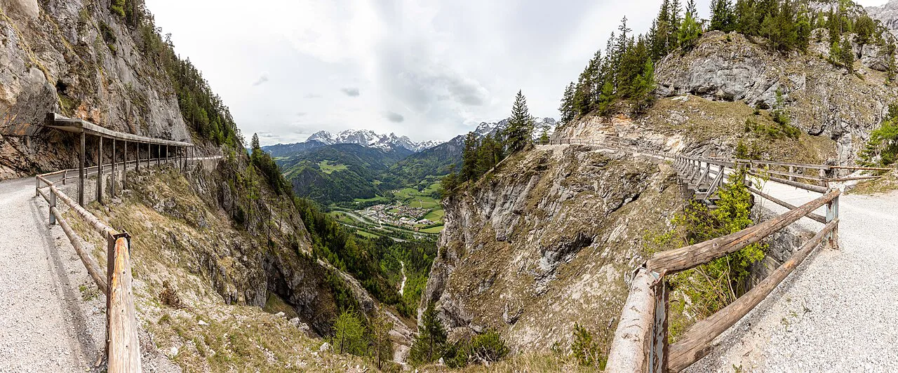
The middle of the North Tyrol route is the most accessible stretch for a one-week walk. From the Falkenhütte the trail runs to the Karwendelhaus, then to the Hallerangerhaus and the Hallerangeralm, then down to the Nordkette above Innsbruck, which puts a city and its transport network right on the route. If you are choosing between alpine city bases for a shorter trip, the Innsbruck hiking guide covers the trails and lifts above the city.
Innsbruck is the natural staging point: a short stage over the Zirbenweg brings you back to the city before the trail continues to the Solsteinhaus. From there the route drops to Leutasch and on to Ehrwald, giving you two more villages where you can join or leave the trail. If you prefer a guided or self-guided format for a section like this, Austria walking holidays operators build itineraries around exactly these kinds of stage chains.
East Tyrol stages through the Glockner and Venediger groups
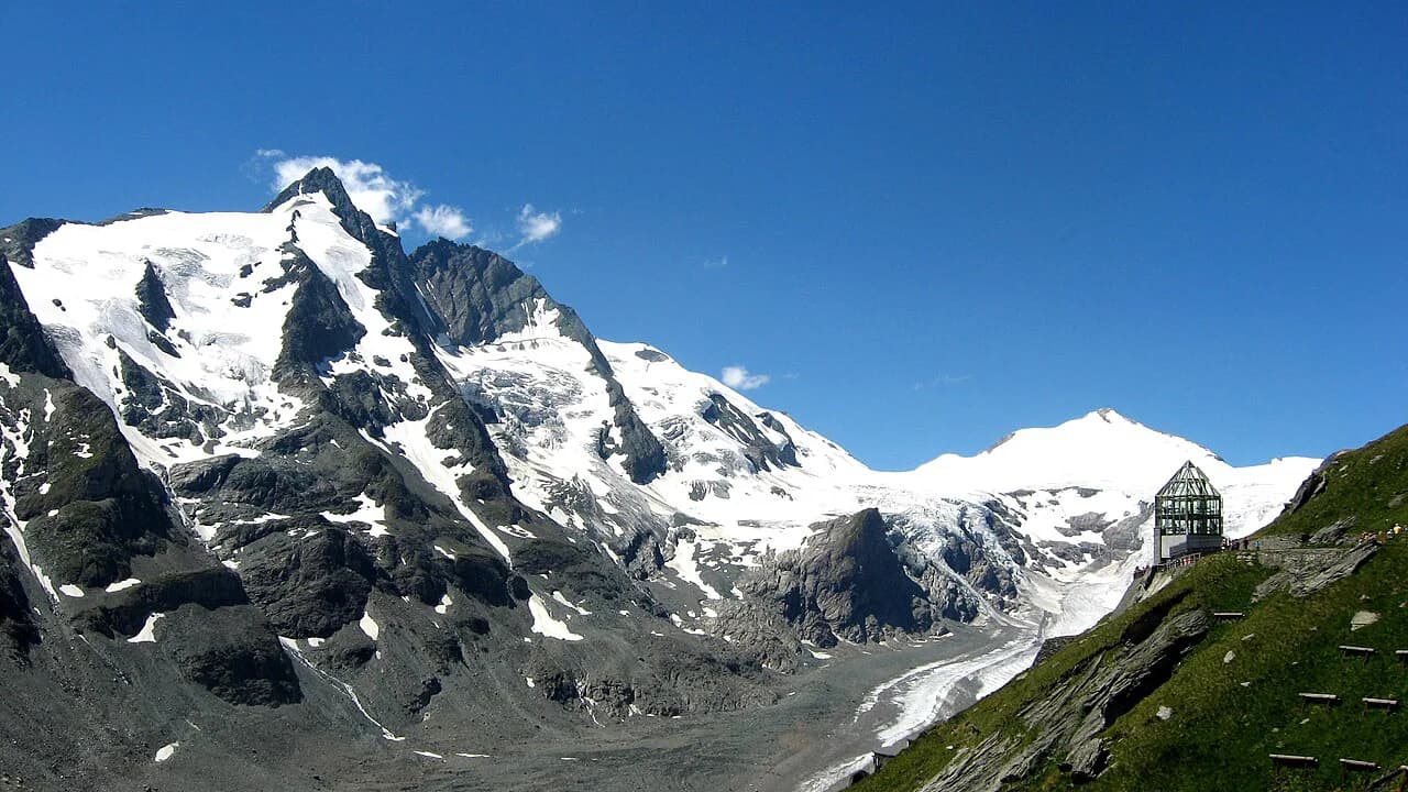
The East Tyrol route runs for nine stages from Ströden to the Lucknerhaus, threading the Glockner and Venediger groups via the Johannishütte, Eisseehütte, Bonn-Matreier-Hütte, Badener Hütte, Matreier Tauernhaus, Sudetendeutsche Hütte, Kalser Tauernhaus and Stüdlhütte. This is the higher, more committed half of the Adlerweg; the stage list alone shows how many hut nights it involves.
Treat the East Tyrol route as its own trip rather than an add-on. The valley bases at Ströden and Matrei in Osttirol give you road access to the start and end of the stages, but you should plan hut bookings early because the chain is long and the windows between huts are fixed.
Getting to the start and back from the finish
St. Johann in Tirol is the simplest trailhead on the whole route: the town has a station on the main line between Salzburg and Innsbruck, so you can arrive by train without a car. At the western end, the pass at St. Christoph am Arlberg is reached by bus along the Arlberg road, with connections to Bludenz and Landeck.
Between those ends, the route passes through or near several villages where buses and trains can carry you back to a base, and Innsbruck is the biggest transport hub on the way. Check the current timetable with the Tyrolean transport operator before you commit to a stage plan that depends on a particular connection.
Huts on the route and how stage-to-stage lodging works
The Adlerweg is a hut-to-hut walk: nearly every stage ends at an alpine hut, guesthouse or village, and the stage list names them, including the Gaudeamushütte, Kaindlhütte, Lamsenjochhütte, Falkenhütte, Karwendelhaus, Hallerangerhaus, Solsteinhaus, Memminger Hütte, Ansbacher Hütte, Kaiserjochhaus and the Stüdlhütte. Book each hut directly with its operator or the owning alpine club, and expect dormitory rooms and half-board as the normal arrangement.
If this is your first multi-day mountain trip, read up on hut to hut hiking in Austria so you know how reservations, bedding and payment usually work. Carrying a sleeping bag liner, cash for huts that do not take cards, and a small torch makes the nights easier.
When to go: best months and snow on high passes
The official season chart covers the whole year, but the walking season on the high stages is summer and early autumn, once the snow has cleared from the passes. Early summer can still leave snow on the 2,870 m (9,416 ft) high point and its passes, and autumn storms arrive sooner than in the valleys.
Many huts close outside the summer season, so the choice of month also decides which huts you can use. Plan the high East Tyrol stages for the warmest, most settled weeks and keep a spare day in the schedule for a weather day.
Exposure, scrambling and weather on the harder stages
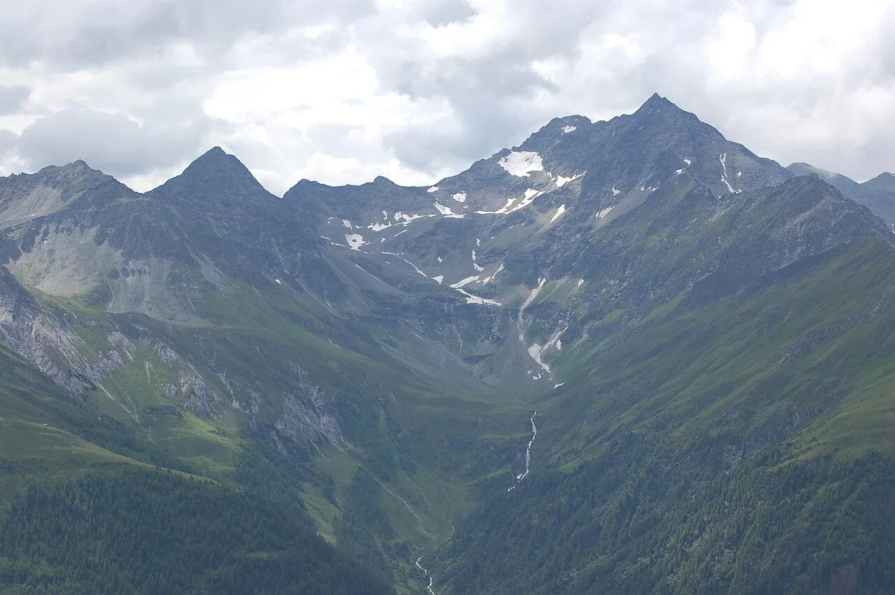
Some stages on the Adlerweg require alpine experience, sure footing and a head for heights, and the trail notes single out parts of the route as technically demanding. On exposed ground, keep your hands free, move steadily and turn back if a storm is building.
Afternoon thunderstorms are the main summer hazard on a route like this, so start early and aim to be off the highest ground by mid-afternoon. Where a stage includes short fixed sections or a ferrata-style passage, a via ferrata kit and some practice beforehand make the day far more comfortable.
Waymarking and navigation on the trail
Every stage is clearly marked and signposted, so route finding is not the main challenge; the terrain and the weather are. Carry a map and a GPX track anyway, because cloud can hide the markings on the high sections and one wrong turn on a ridge costs time. The official route page offers a route download for your device.
Learn the local trail signs before you start, and note the names of the next hut or village on each stage so you can match them to the signposts. A compass and a paper map are worth the grams as a backup.
Food and water along the stages
Huts along the route serve meals and drinks, and many walkers rely on half-board at the overnight hut plus a packed lunch bought there. Carry at least one litre of water and refill at huts and villages rather than counting on springs, which dry up late in the summer.
Supermarkets in St. Johann in Tirol and Innsbruck are your best chance to restock, so plan your resupply around those towns rather than hoping for shops on the high stages. Cash still helps at huts that do not accept cards.
How to shorten the Adlerweg if 33 stages is too much
The easiest way to cut the trail down is to pick one route: the 24 North Tyrol stages or the nine East Tyrol stages. Within North Tyrol, the Karwendel and Innsbruck stages make a natural one-week section, with Innsbruck as a convenient start or finish.
Rather than resenting the length, use it: the route is deliberately built to be joined and left at villages and huts, and each stage is a complete day. If you want a shorter high-mountain traverse with the same hut-to-hut rhythm, a route like the Berliner Höhenweg in the Zillertal Alps is worth comparing for length and grade.
Plan Your Adlerweg Trip
Decide first whether you are walking the North Tyrol line, the East Tyrol route or a single section, then work back from the huts: each stage ends at a named hut or village, and your booking list is essentially the stage list. Build fitness for the 28,463 m (93,383 ft) of ascent, allow weather days and start the high stages early.
If you want the logistics handled, guided and self-guided formats exist for sections of the route; if you want to walk it independently, book huts directly with the Alpine club huts and check transport for your entry and exit points. Either way, plan around the season: the high passes dictate the calendar more than the valleys do, so check current opening dates before you set out.
Frequently Asked Questions
How long is the Adlerweg and how many stages does it have?
The Adlerweg is 33 stages long. The official route description gives 425 km (264 mi), 28,463 m (93,383 ft) of ascent and 26,431 m (86,716 ft) of descent, and places the highest point at 2,870 m (9,416 ft). Other summaries round the length to about 420 km or 426 km, so plan by stage rather than chasing an exact total.
Where does the Adlerweg start and finish?
The full trail starts at St. Johann in Tirol and finishes at the Arlberg Pass near St. Christoph am Arlberg. The main line through North Tyrol has 24 stages, and the second route through East Tyrol has nine stages.
Do you need to hike the Adlerweg in one go?
No. The route is built with stages that end at huts and villages, so you can join or leave it at places such as Innsbruck, Leutasch, Ehrwald and St. Christoph. Many hikers choose one of the two routes, or a single week of North Tyrol stages, instead of the full 33 days.
What is the hardest section of the Adlerweg?
The East Tyrol route is the higher, more committed half: nine stages covering 93.3 km (58 mi) with 7,101 m (23,297 ft) of ascent, through the Glockner and Venediger groups. Across the whole trail, the official grading is condition 5/6 and technique 4/6, and some stages require alpine experience and a head for heights.
When is the best time to hike the Adlerweg?
Plan the high stages for summer and early autumn, once snow has cleared from the passes. Early summer can still leave snow on the highest ground and many huts close outside the summer season, so choose your month with hut availability in mind and keep a spare weather day.
Are there huts along the Adlerweg?
Yes. The stages end at alpine huts, guesthouses or villages, with names such as the Gaudeamushütte, Karwendelhaus, Solsteinhaus, Memminger Hütte and Stüdlhütte. Book each hut directly with its operator or the owning alpine club, and expect dormitory rooms and half-board.
Sources
Trail notes for your next trip
Optional updates when we add or revise hiking guides.
You might also like
Continue reading
More guides you'll find useful