Salzburger Almenweg: Austria Hut Trail Stage Guide
Plan the Salzburger Almenweg, the 350 km hut-to-hut trail looping Salzburg's Pongau. Get stages, daily distances, huts, difficulty levels and the best season.
On this page
The Salzburger Almenweg is a long-distance trail of roughly 350 km (217 mi) that loops through the Pongau region of SalzburgerLand, linking more than 120 staffed Alpine pastures where you can stop for fresh milk, cheese and a bed. It suits hikers who want hut-to-hut walking with real food culture rather than a single summit objective, and the marked stages can be walked as a full traverse or picked off one at a time.
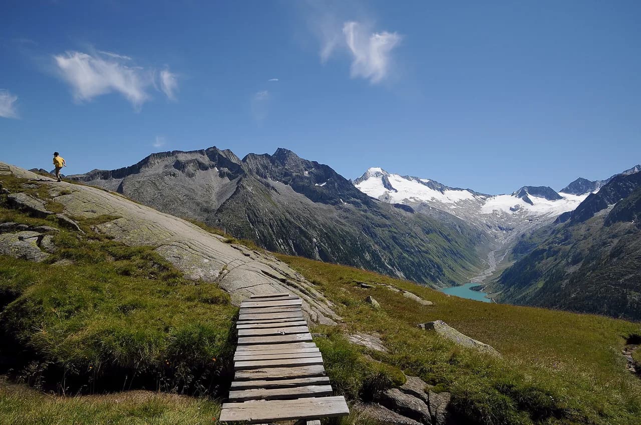
Most of the route runs above 1,000 m (3,280 ft), so you spend your days on open pasture ridges and high bowls with the Hochkönig, Bischofsmütze, Dachstein and the glaciated Hohe Tauern peaks in view. The trail is waymarked with a blue gentian sign, which makes navigation on the marked stages straightforward in clear weather.
What the Salzburger Almenweg is
The trail is a large loop around the Pongau, not a point-to-point route, so you can start at any of the villages it passes and walk in either direction. SalzburgerLand Tourismus describes it as 25 stages across the region, while other listings cite up to 31 stages, a difference that reflects how the route is divided rather than a change on the ground. Before you commit to a schedule, take the stage split from the official trail site, salzburger-almenweg.at, which publishes directions, altitude profiles and GPS data for each stage.
Its defining feature is the density of Almen: more than 120 staffed mountain pastures line the route, more than on any other long-distance trail in the Alps, and many serve their own dairy produce. That means short days between food and beds are possible, and you rarely carry more than a day's supplies.
Where the route runs
The loop threads through the Salzburger Sportwelt around Radstadt and Altenmarkt-Zauchensee, the Tennengebirge, the Grossarltal and Gasteinertal valleys, and the Hochkönig holiday region. The skyline follows you: the Hochkönig massif, the Bischofsmütze, the Dachstein and the glaciated three-thousand-metre peaks of the Hohe Tauern national park.
For a broader picture of trails elsewhere in the country, our hiking in austria guide covers other long-distance routes and mountain areas. The Pongau loop is the gentler, pasture-based alternative to high alpine traverses such as the Berliner Höhenweg, a hut-to-hut circuit in the Zillertal Alps. If you are weighing up bases beyond Austria's borders, our guide to hiking in Garmisch-Partenkirchen covers trails across the German border.
Three difficulty levels and the blue gentian marking
Stages are graded into three levels so that families with children, beginners and experienced mountaineers can each pick a suitable day. Some stages carry theme labels such as gourmet, herbalist or panoramic, which tells you what the day emphasises as much as how hard it is.
Treat the easiest grade as valley and pasture walking on good paths and the hardest as high-level terrain where sure-footedness and a head for exposure matter. If a stage description mentions a summit variant, that option adds height and scrambling beyond the base route.
Distance, ascent and time
The shortest stage runs about 5 km (3 mi) with roughly 90 minutes of walking, and the longest runs 21 km (13 mi) with about 9 hours on the move. Those two figures set the range for the whole trail: most days fall between them, so you can build a schedule that matches your fitness rather than a fixed itinerary.
Because the trail is a loop of 350 km, a full circuit is a multi-week trip at any realistic pace. Most hikers walk a section, often three to five days based from one valley, and return another year for the next stretch.
Hard stages around Radstadt
The Oberhütte via Forstau to Radstadt stage is 25.1 km (15.6 mi) with 410 m (1,345 ft) of ascent and 1,420 m (4,660 ft) of descent, about 8 hours 16 minutes of walking. It is a long, descending day, so knees and concentration matter more than climbing fitness; start early and carry water for the exposed upper section.
Radstadt to Filzmoos is shorter at 13.1 km (8.1 mi) but steeper, with 900 m (2,950 ft) up and 700 m (2,300 ft) down over about 5 hours 44 minutes. Both are rated hard because of length and sustained height gain rather than technical difficulty.
Moderate stages: Zauchensee to the Südwiener Hütte
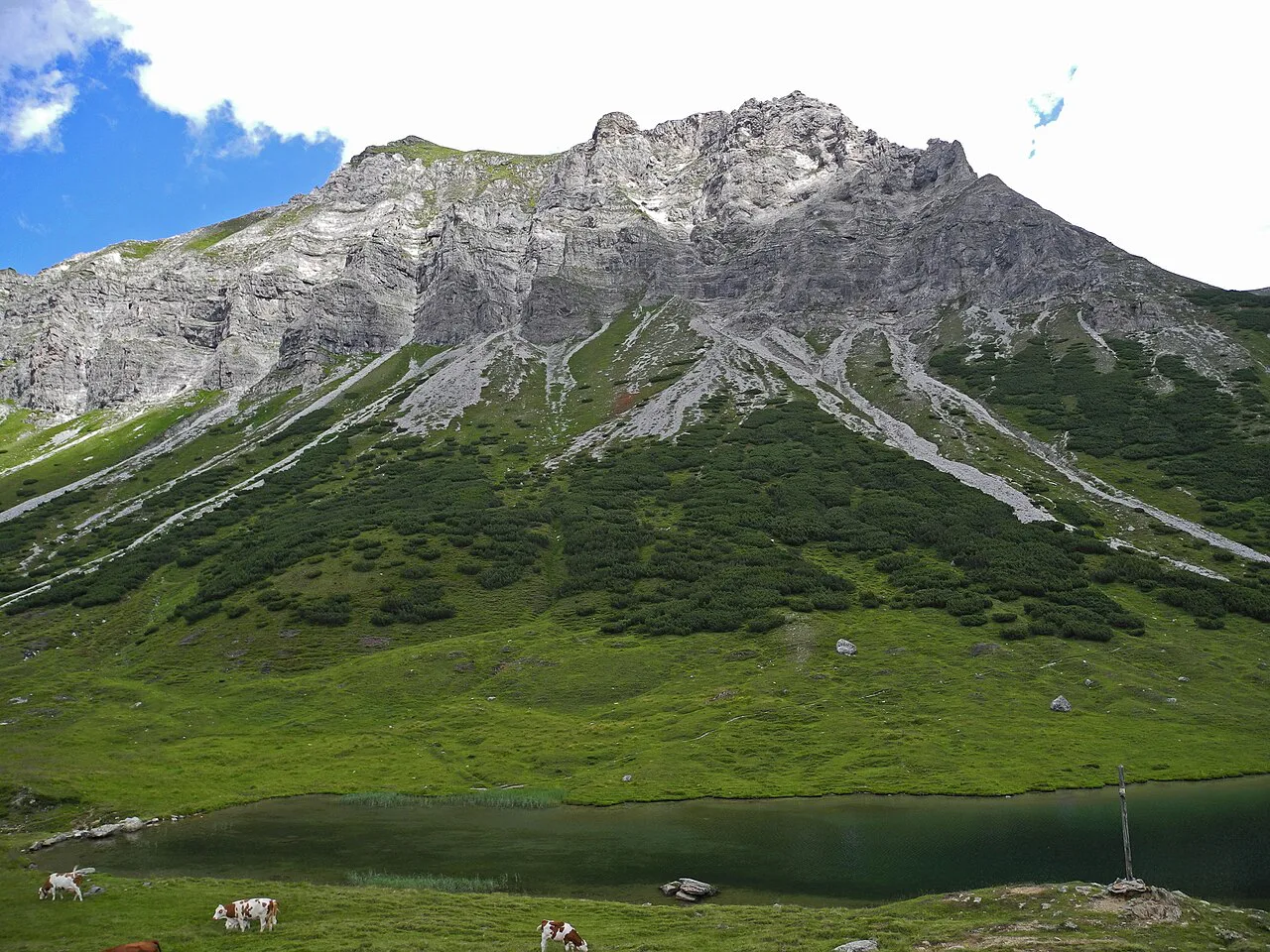
From Zauchensee via the Gnadenalm to the Südwiener Hütte is 12.4 km (7.7 mi) with 890 m (2,920 ft) of ascent and 450 m (1,475 ft) of descent, about 4 hours 42 minutes. It is a steady climb on mostly accessible paths with sure-footedness required, and the Südwiener Hütte makes a logical overnight stop.
The next day, the Südwiener Hütte via Obertauern to the Oberhütte covers 15.2 km (9.4 mi) with 670 m (2,200 ft) up and 610 m (2,000 ft) down, about 5 hours 58 minutes, and is graded hard for its length above the treeline. Going this way, the Oberhütte at the Oberhüttensee is the reward at the end of the day.
A four-day stretch from Radstadt
Linking the four Radstadt-area stages gives a continuous route of about 65.8 km (41 mi) with 2,870 m (9,415 ft) of ascent and 3,180 m (10,430 ft) of descent, at 4 to 8 hours a day. It is a realistic introduction to the trail: one moderate opening day, two long hard days and a final descent into Filzmoos.
Use Radstadt as your base and arrange transport back from Filzmoos at the finish. The four Radstadt-area stages form a one-way chain rather than a circuit, so plan how you will return to your base at the end.
Huts and overnighting
Beds are split between staffed Almen, mountain huts and guesthouses in the valley villages, so you can choose between a dormitory above the treeline and a hotel bed in a village on the same stage. Some Almen offer hay beds as an inexpensive alternative to a proper room.
Pick up a stamp passbook at any tourist office in the valley and collect a stamp at each hut you stop at; children in particular enjoy the hunt, and a hiking pin rewards the stamps collected. It also gives you a simple record of how much of the loop you have covered.
Getting to the trail and linking stages
You can join the route at each of the 25 locations in the Pongau, so the practical question is which village to start from rather than where the trailhead is. Rail and bus links connect the Pongau valleys, and the official trail site lists onward transport and accommodation options along every stage.
Booked packages arranged through the official info and booking center turn a long traverse into day-packing, with a team of walking experts advising on route options. Independent hikers can use the local bus network to link stages or return to a valley base, but carry everything themselves.
When to go
Hut and pasture season defines the walking window: the Almen operate through the Alpine summer, so plan a traverse for mid-summer unless you are content with valley-only days. Snow lingers on the higher passes early and late in the season, and the high-level stages around Obertauern and the Hochkönig hold it longest.
Afternoon thunderstorms are the usual summer pattern in this part of the Alps, so start early on exposed ridges and plan to be below the skyline by mid-afternoon. A flexible schedule of three to five days lets you swap a high stage for a valley stage when the forecast turns.
Hazards and the sensible response
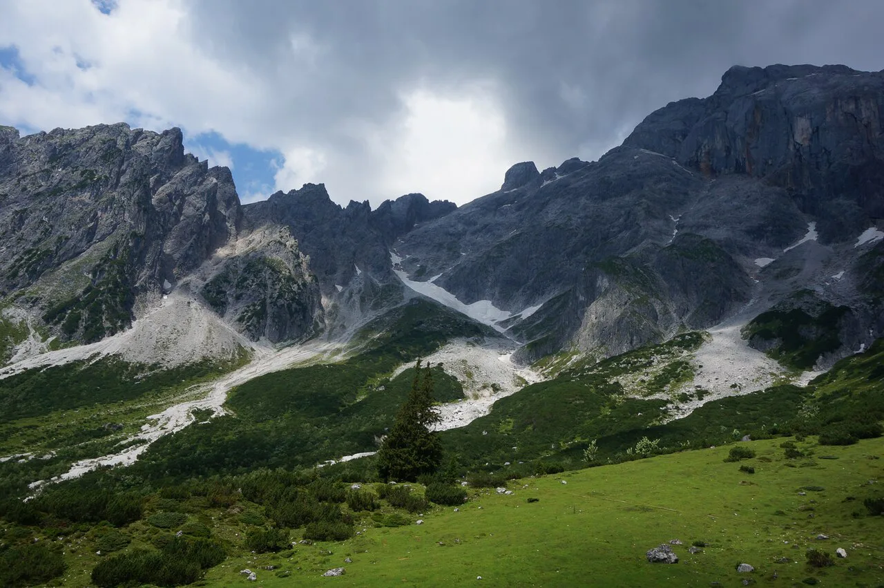
The main risks are sustained exposure on high pasture ridges, loose ground on steep descents and early-season snow on shaded north-facing sections. Sturdy boots, poles for the long descents and a map or GPS track for stage junctions are the practical response.
Where a stage description mentions a summit variant, do not assume the extra path is waymarked to the same standard. Check the altitude profile and GPS track for that variant before committing, especially if cloud is building.
Base towns and which stages each serves
Radstadt and Altenmarkt-Zauchensee are the best bases for the Sportwelt stages: Zauchensee, the Gnadenalm, the Südwiener Hütte, the Oberhütte and the crossing to Filzmoos all sit within day range. Filzmoos itself is the natural finish for the Radstadt-to-Filzmoos stage.
For the Grossarltal and Gasteinertal sections, base in the valley villages where the stages start and finish, since these are further from the Sportwelt and not practical as day trips. Pongau villages along the route all have some form of tourist office where you can pick up maps and the stamp passbook.
Booking: packages versus independent planning
The official booking center sells pre-arranged packages and also builds custom itineraries for the trail, with a team of walking experts advising on route and accommodation. For hikers who want the logistics handled, this removes the daily question of where to sleep and how to move between stages.
Self-guided independent walking gives more freedom to change plans for weather, but requires you to book huts and valley beds directly. If you prefer a guided format, our walking holidays guide covers what typical Austrian packages include; the Almenweg itself is set up for self-guided walking with bookable options.
Plan Your Walk on the Almenweg
Decide first whether you want the full 350 km loop or a four-day section such as Radstadt to Filzmoos, then choose a base in the Sportwelt or a valley further west accordingly. Hut and pasture season runs through the Alpine summer, so build your traverse around that window and keep a valley day in reserve for storms.
Use the official trail site for stage directions, altitude profiles and GPS data, and the booking center if you want accommodation arranged. For comparison with hut-to-hut routes elsewhere in Austria, our Adlerweg (Eagle Walk) guide covers a longer traverse through the North Tyrol ranges, outside the Pongau.
Frequently Asked Questions
How long is the Salzburger Almenweg?
The route is about 350 km (217 mi) in total and circles the Pongau region as a loop, so you can start it at any of the villages it passes rather than at a single trailhead. A full circuit is a multi-week trip; most hikers walk a stretch of three to five days based from one valley.
How many stages does the Salzburger Almenweg have?
SalzburgerLand Tourismus describes it as 25 stages across the Pongau, while other listings count up to 31 stages, which reflects how the route is divided. The official trail site sets out the current stage split with directions and altitude profiles.
How hard is the Salzburger Almenweg?
Stages fall into three levels, from easy pasture and valley days suited to families and beginners to long high-level days on exposed ridges. The Radstadt-area hard stages are demanding for their length and height gain, such as 25.1 km with 1,420 m of descent on one day.
How far do you walk each day on the Almenweg?
The shortest stage is about 5 km (3 mi) and takes roughly 90 minutes, and the longest is 21 km (13 mi) with about 9 hours on the move. Most days sit between those extremes, and Komoot's Radstadt collection gives 65.8 km over four days with 4 to 8 hours of walking daily.
When is the best time to hike the Salzburger Almenweg?
Hut and pasture season runs through the Alpine summer, so mid-summer gives the most options for accommodation and food on the route. Snow can linger on high passes early and late in the season, and afternoon storms are common in summer, so start early on exposed stages.
Can you sleep in huts on the Salzburger Almenweg?
Yes. More than 120 staffed Almen and mountain huts line the route, and some also offer hay beds alongside proper rooms. Valley villages add guesthouses and hotels, so you can mix hut nights with comfortable beds on the same stage.
Do you need to book a walking package for the Almenweg?
No. The trail is waymarked with the blue gentian sign and can be walked independently by booking huts and valley beds yourself. The official booking center offers pre-arranged packages and custom itineraries with luggage transfer if you prefer the logistics handled.
Where should you base yourself for the Salzburger Almenweg?
The Salzburger Sportwelt is the most convenient base, with Radstadt and Altenmarkt-Zauchensee serving the Zauchensee, Gnadenalm, Südwiener Hütte, Oberhütte and Filzmoos stages. For the Grossarltal and Gasteinertal sections, use the valley villages where those stages start and finish.
Sources
Trail notes for your next trip
Optional updates when we add or revise hiking guides.
You might also like
Continue reading
More guides you'll find useful