Pico Ruivo Hike, Madeira: Routes, Distance and Trailheads
Plan the Pico Ruivo hike on Madeira: the exposed Areeiro ridge route and the shorter climb from Achada do Teixeira, with distance, ascent, time and hut basics.
On this page
Madeira's highest summit, Pico Ruivo, stands at the heart of the island's central massif, where bare volcanic ridges drop away on both sides and the Atlantic shows up in glimpses between cloud. The payoff is a 360-degree panorama of furrowed peaks, and you can reach it two ways: a long, exposed traverse along the ridge from Pico do Areeiro, or a shorter climb from the road end at Achada do Teixeira. Which you choose comes down to your head for heights, your time budget and how settled the forecast looks.
What the Pico Ruivo hike offers and who each approach suits
Pico Ruivo is the island's highest point, rising to 1,862 m (6,109 ft), and the summit ridge is stark and open, with shelters, steps and cliff-edge paths rather than forest. Hikers with scrambling confidence and a full day should aim for the Areeiro ridge traverse, which gives the dramatic one-way mountain day. Hikers with children, tired legs, marginal weather or a fear of heights should take the shorter route from Achada do Teixeira, which still puts the same summit under their boots.
Where Pico Ruivo sits and the two main ways up
Pico Ruivo sits in the mountainous interior of Madeira, north of Pico do Areeiro and south of the north-coast town of Santana, in the Portuguese archipelago off the coast of Morocco. The two trailheads sit on opposite sides of the massif: Pico do Areeiro is reached by road from the south via Poço da Neve, while Achada do Teixeira is reached from the north above Santana. Because the ridge line joins them, a one-way crossing is the natural way to walk it, and the full traverse is the classic PR1 route between the two summits. For the through-route in detail, see the PR1 Madeira guide.
Route A: Pico do Areeiro to Pico Ruivo on the ridge (distance, ascent and walking time)
The ridge route starts at Pico do Areeiro at 1,818 m (5,964 ft) and finishes at Pico Ruivo, covering roughly 11 km (6.8 mi) with about 1,000 m (3,280 ft) of climbing and the same again in descent, and it typically takes around six hours including breaks. This is a hard day by any measure: the ground is rough, the steps are many and the exposure is constant. Plan an early start so you are off the high ridge before afternoon cloud and wind build.
A steep path with sustained climbs and descents, this route is not a sensible choice for hikers with vertigo or limited mobility, and the elevation swings between roughly 1,200 m and the summit carry real consequence for anyone with heart or breathing problems. Treat it as a full mountain day, not a walk. If the summit is your only goal and time is short, the ridge is the wrong tool.
Route A section by section: Ninho da Manta, Pico das Torres, tunnels and the final climb
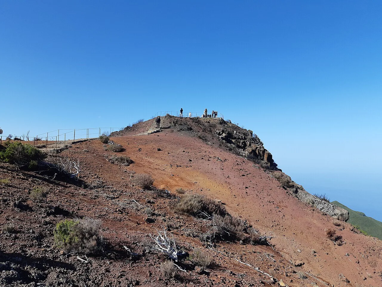
From the Pico do Areeiro car park and its café, the path climbs past the Miradouro Ninho da Manta, a viewing platform set on the edge of the crag, then follows an exposed ridge with secured sections where the ground falls away steeply on both sides. Short tunnels cut through rock spurs, and narrow, railed ledges traverse the face beneath Pico das Torres, the pointed peak that dominates the middle of the traverse. This is the section where a head for heights matters most, and the railed ledges above the drop are the part that catches out unprepared walkers.
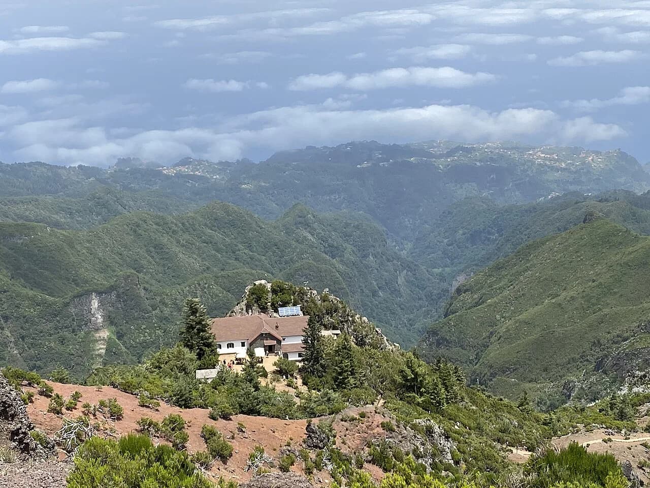
Beyond the Torres the trail drops and rises through a series of steps and natural shelves before the final pull to the summit cross and viewpoint on Pico Ruivo. At the foot of the peak stands Casa de Abrigo, the mountain hut that serves as a shelter and refreshment stop on this side of the mountain. If you are walking out to Achada do Teixeira, allow another hour or so of descent on the stepped path below the summit.
Route B: Achada do Teixeira to Pico Ruivo (distance, ascent and walking time)
The short route from Achada do Teixeira is about 5.6 km (3.5 mi) round trip with only around 260 m (850 ft) of climbing, which puts the summit within reach of most steady walkers in a few hours out and back. The trailhead sits at roughly 1,592 m (5,223 ft), high on the north side of the massif, so you gain altitude by car rather than on foot. That makes it the better call in marginal weather, with a family group, or when you want the summit view without committing to the ridge.
Because the car park is the end of the public road above Santana, the day is simple: park, walk up, walk down the same way. On busy mornings the parking area fills, so arrive early. In cloud or strong wind the open steps feel more serious than the distance suggests, and the summit can be several degrees colder than the coast.
Route B section by section: the shelter, the zigzags and the summit viewpoint
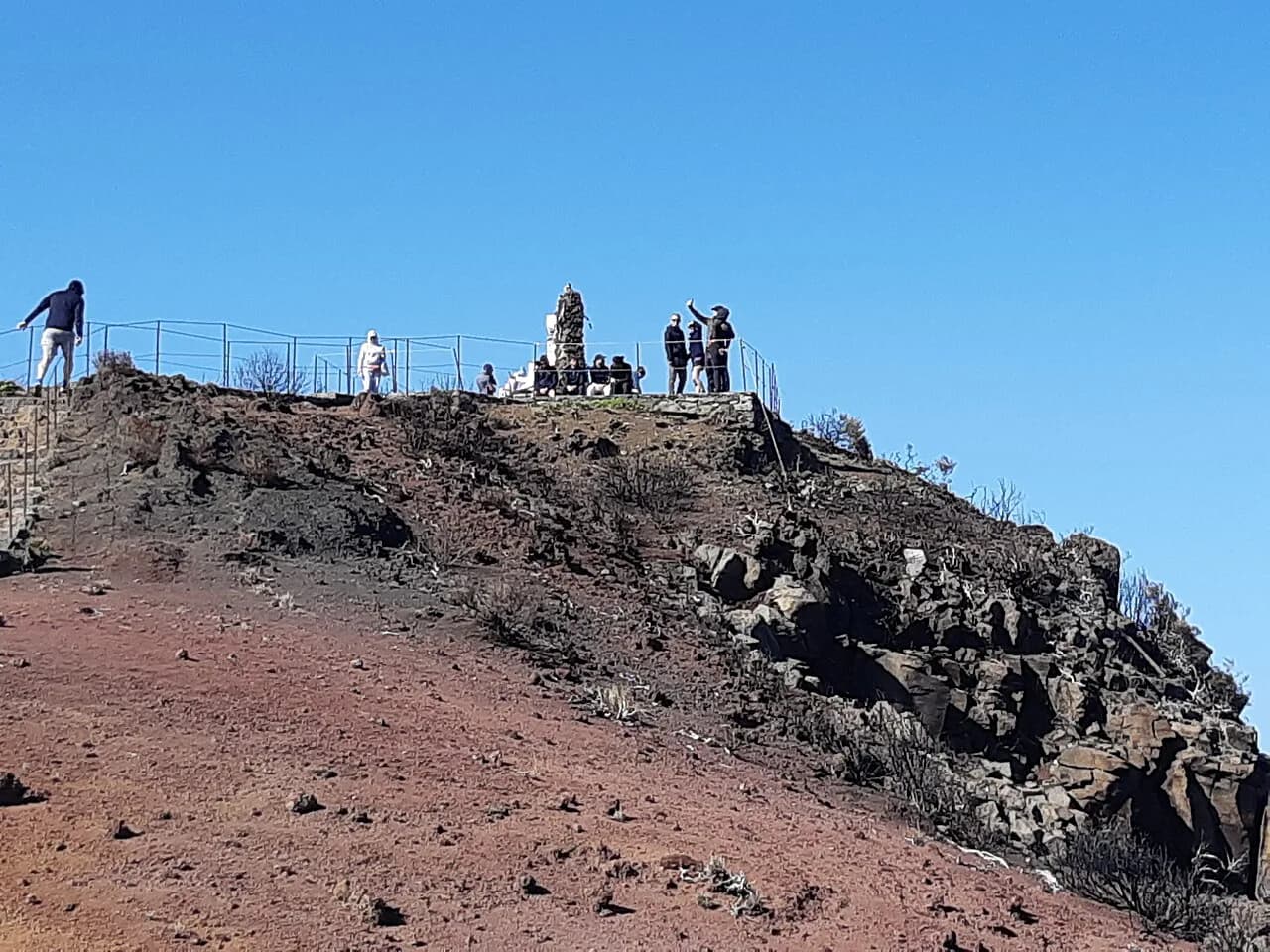
From Achada do Teixeira the path is broad and stepped, climbing steadily through open hillside with the north coast visible behind you, then joining the ridge just below Casa de Abrigo. The final stretch to the summit cross is short but steep, zigzagging up bare rock to the top. From the summit platform, the whole island reads at once on a clear day, with Pico do Areeiro and Pico das Torres lined up along the ridge to the south.
Casa de Abrigo sits just below the summit on this side, a stone hut that hikers use as a windbreak and a place to pause before the descent. Whether it is open when you arrive depends on the season and the day's conditions, so treat food and water as something you carry rather than something you count on buying. Carry enough for the round trip and a bit extra for a slow descent.
Getting to Pico do Areeiro and Achada do Teixeira by car and transfer
Pico do Areeiro is reached by a paved mountain road from the south, with a large car park and a café at the trailhead; the drive winds and can be busy on clear weekends. Achada do Teixeira is reached from the north via Santana, with parking at the end of the road. Public buses do not serve either trailhead directly, so most hikers drive, take a taxi, or join an organized walk; guided options that include transport and a guide run from the main resorts, such as this Pico Ruivo hiking day trip. Check road conditions before setting out in winter, when the high road can be affected by weather.
One-way logistics: arranging a pickup or transfer between trailheads
The ridge traverse is not a loop, and the two trailheads are on opposite sides of the massif, so you need a plan for the far end. The usual solution is a pre-arranged pickup at Achada do Teixeira, a second car left there the day before, or a booked transfer that runs between the two trailheads. Shuttle services connect Achada do Teixeira with Pico do Areeiro for hikers finishing the traverse, which removes the need to walk back along the ridge. Book the return leg before you start, because phone signal on the ridge is unreliable and you do not want to be improvising at the end of a six-hour day.
Difficulty, exposure and scrambling on the ridge
The ridge traverse is a hard mountain route: narrow paths, long flights of steps, railed ledges high above the valleys, and short tunnels that require ducking through with a pack. Fixed cables and handrails protect the worst sections, but the ground underfoot is uneven and the drop is real. Snow and ice can linger on the highest sections early and late in the season, and the wind on the ridge is often far stronger than at either car park.
If the forecast is poor or the cloud is down, switch to the Achada do Teixeira route or save the summit for another day; there is no view worth a slip on wet rock. Take trekking poles for the steps, gloves and a windproof layer even in summer, and a headlamp as a backup if you start late.
Weather and best months for the summit
The summit sits above 1,800 m (5,900 ft) and makes its own weather: cloud can pour over the ridge within an hour, and rain arrives fast on the south side while the north coast stays clear. Spring and early autumn usually give the most settled days, with the summer months warm but prone to afternoon cloud build-up. Winter brings cold, wind and occasional snow on the highest ground.
Watch the forecast the evening before and look at a live webcam of Pico do Areeiro if one is available before you commit to the ridge. Start early whatever the season, because the mountain is at its clearest in the morning and the ridge should not be tackled in failing light.
Casa de Abrigo and facilities on the mountain
Facilities on the mountain are minimal. There is a café at Pico do Areeiro, and Casa de Abrigo stands at the foot of Pico Ruivo on the Achada do Teixeira side, offering shelter and refreshments for hikers on the summit path. The hut can also be used as a base for a sunrise or sunset on the summit if you are staying overnight in the mountains, though you should confirm availability with the hut before relying on it. There is no water source on the ridge itself, so carry all you need.
Trail reservations and access rules for Madeira's mountain paths
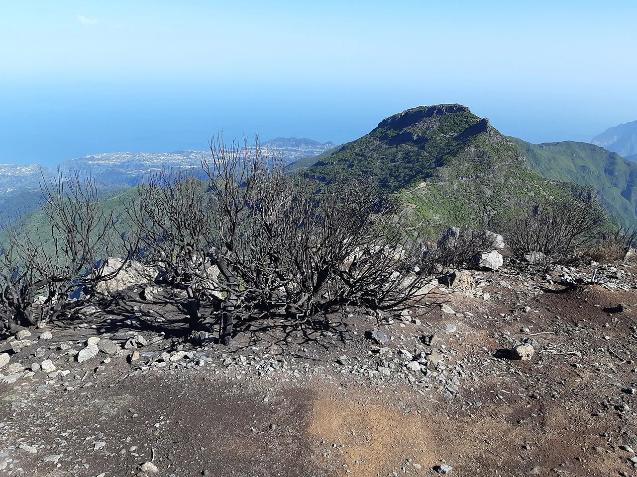
Madeira has introduced timed reservations for its most popular trails, booked through the regional SIMplifica platform and the IFCN app, with limited slots per period; this applies to independent hikers as well as guided groups, and residents keep free access but still follow the time slots. The Areeiro to Ruivo ridge has been subject to closures after wildfire damage, and work to restore paths, railings and steps has been ongoing, with the trail reopening planned for April 2026. Before you travel, check the current status of your chosen route with the IFCN or on SIMplifica, and book your slot in advance rather than turning up at the trailhead.
What to carry for a high-mountain day on Madeira
Pack for a mountain day, not a coastal walk: sturdy boots with grip for rock steps, a windproof and waterproof shell, warm mid-layers, gloves and a hat, plus at least two liters of water per person for the ridge. Add a headlamp, a basic first-aid kit, a paper map or offline navigation, and food for the full day. Sun protection matters above the cloud, where UV is strong even when the coast is hazy.
Where to stay for an early summit start
Santana, on the north coast, is the practical base for the Achada do Teixeira route, with guesthouses and restaurants and a short drive up to the trailhead. For the ridge traverse, stay on the south side near Funchal or in the hills above it, so the drive to Pico do Areeiro is short enough for a pre-dawn start. If you want the summit at sunrise or sunset, Casa de Abrigo near the top puts you on the mountain overnight.
Outside the destination: other Madeira hikes worth a day
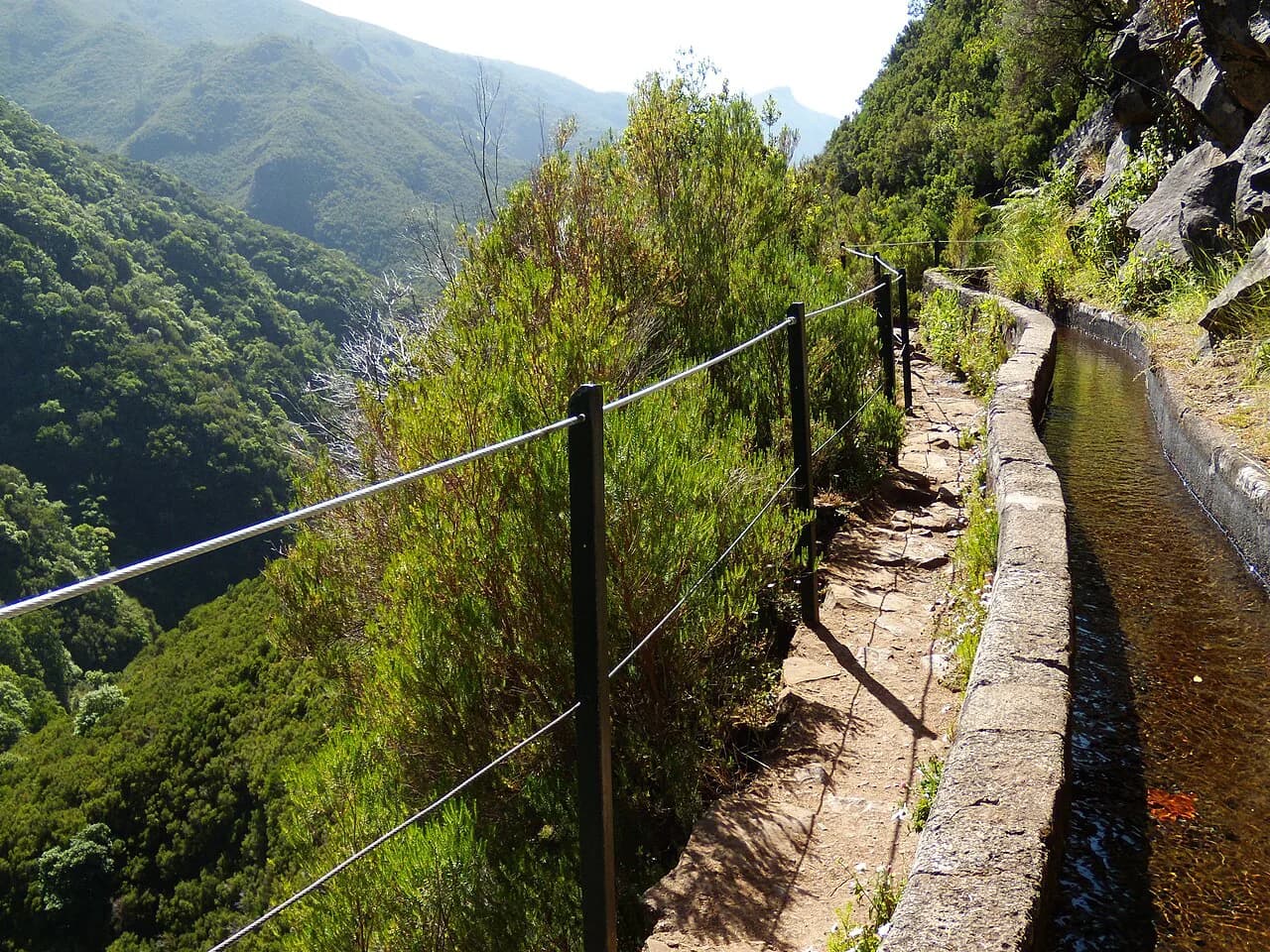
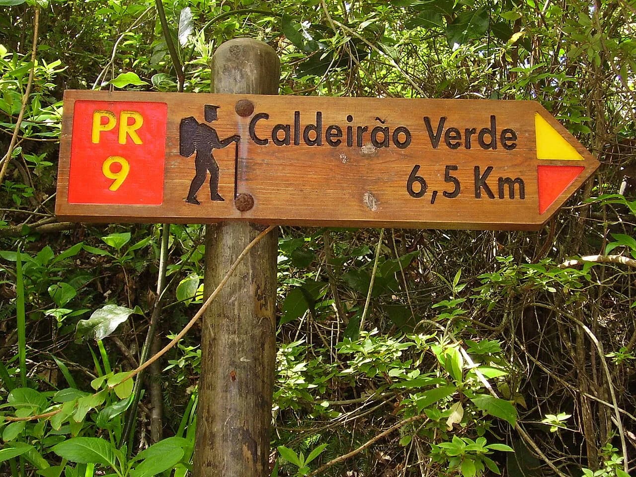
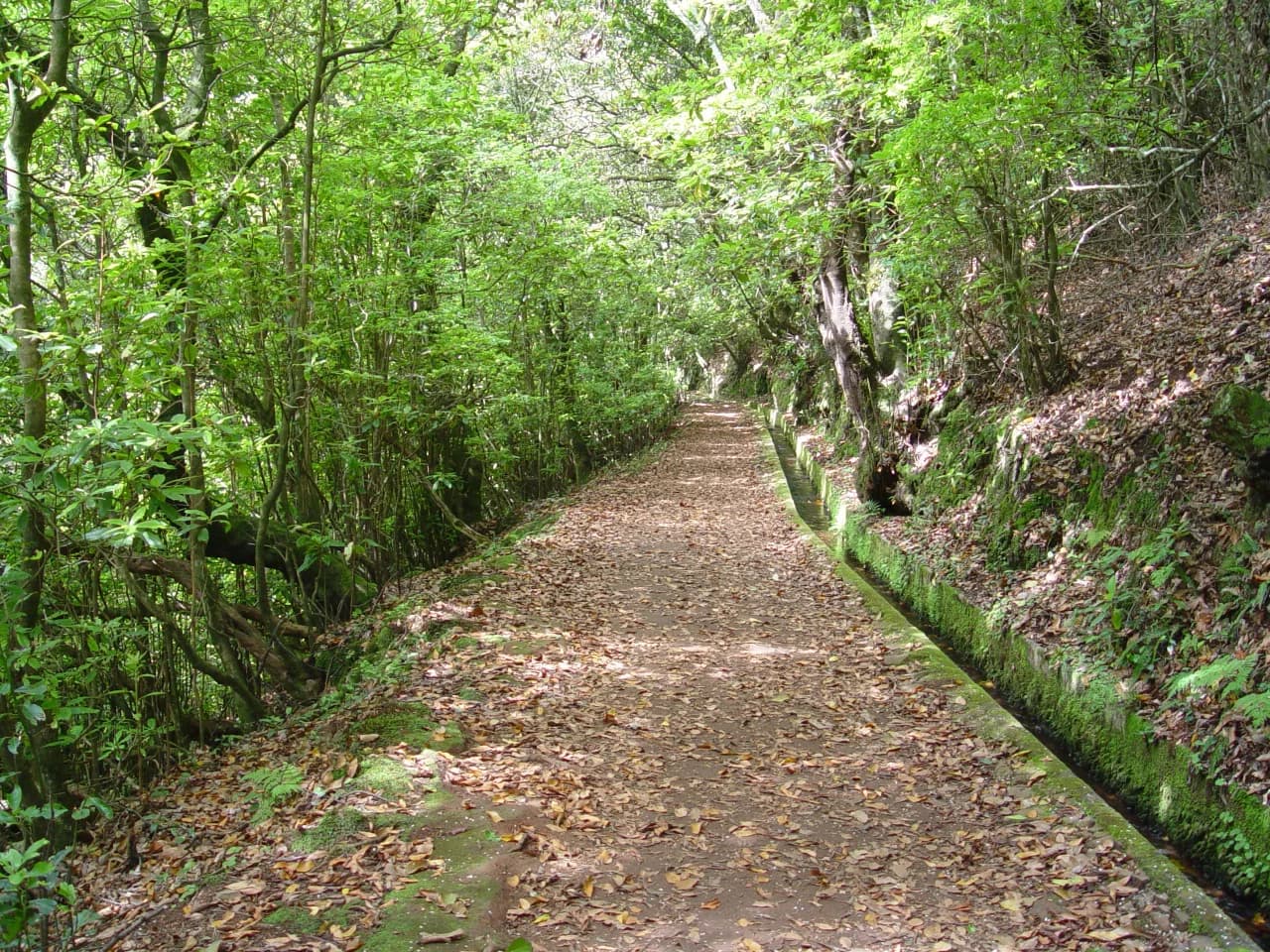
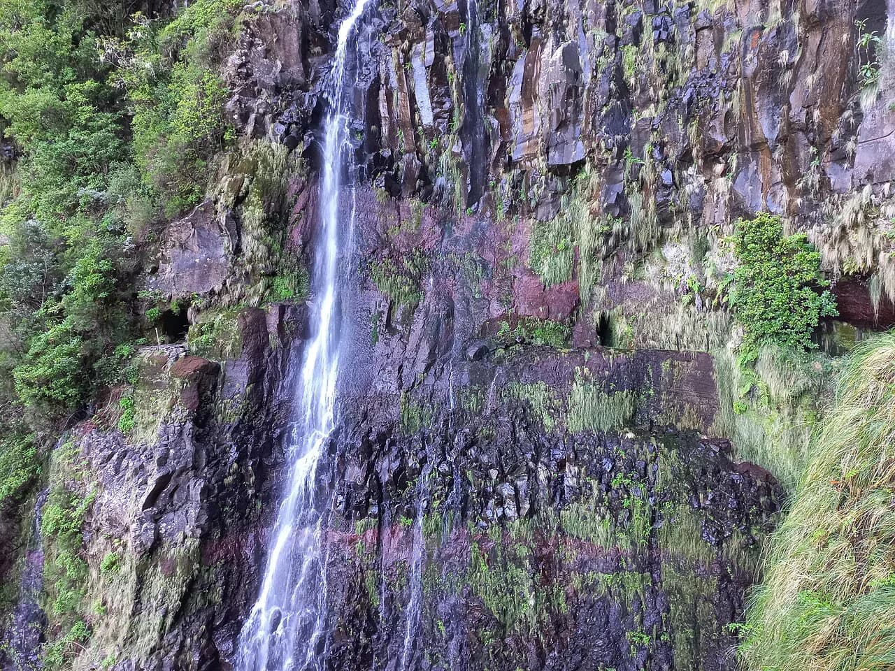
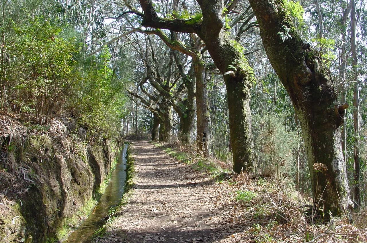
When you want a lower, greener day after the summit, Madeira's levada walks follow irrigation channels through laurel forest and are far less exposed than the ridge. The Levada do Caldeirão Verde and the Levada das 25 Fontes are the best-known, and both make easy half-days by comparison. For a wider menu of routes across the island, see the hiking in Madeira guide.
Plan Your Pico Ruivo Hike
Choose the ridge from Pico do Areeiro if you want the island's finest mountain day and have the legs, the head for heights and a full day to give it; choose Achada do Teixeira if you want the summit without the exposure. If you are weighing this against summits elsewhere in the Atlantic, the Azores hiking guide covers the same ridge-versus-short-climb decision on other islands. In both cases start early, check the forecast, and arrange your return transport before you set off. Book any required trail slot through SIMplifica, and treat the mountain's weather as the deciding vote.
Frequently Asked Questions
How long does the Pico Ruivo hike take?
The ridge traverse from Pico do Areeiro to Pico Ruivo covers about 11 km (6.8 mi) with roughly 1,000 m (3,280 ft) of climbing and descent, and typically takes around six hours with breaks. The shorter out-and-back from Achada do Teixeira is about 5.6 km (3.5 mi) round trip with around 260 m (850 ft) of gain, which most steady walkers finish in a few hours.
What is the shortest route to Pico Ruivo?
Achada do Teixeira, at the end of the road above Santana, is the shortest approach. You drive up to roughly 1,592 m (5,223 ft) and walk a stepped path to the summit and back down the same way, which keeps the day simple and avoids the exposed ridge entirely.
Is the ridge route between Pico do Areeiro and Pico Ruivo difficult?
Yes. Expect long flights of steps, railed ledges above big drops, short tunnels and constant exposure. The route has been closed at times after wildfire damage and restoration work, so confirm the current status with the IFCN or on the SIMplifica booking platform before committing to it.
Do you need to book the Pico Ruivo trail in advance?
Madeira has introduced timed reservations for its most popular trails through the regional SIMplifica platform and the IFCN app, and this applies to independent hikers as well as guided groups. Book your slot ahead rather than arriving at the trailhead and hoping for space.
Can you hike Pico Ruivo without a guide?
Both approaches are waymarked and walked independently by many hikers. The ridge demands real mountain judgment, so if you are unsure about exposure, go with the shorter Achada do Teixeira route or join an organized walk that includes transport.
How do you reach the Pico Ruivo trailheads?
Pico do Areeiro is reached by a paved mountain road from the south, with a car park and café at the trailhead. Achada do Teixeira is reached from the north via Santana. Public buses do not serve either trailhead directly, so plan on a car, taxi or organized transfer.
Sources
Trail notes for your next trip
Optional updates when we add or revise hiking guides.
You might also like
Continue reading
More guides you'll find useful