Levada do Furado (PR10) Hike: Ribeiro Frio to Portela Guide
Walk Madeira's Levada do Furado (PR10) from Ribeiro Frio to Portela: 11 km beside an old levada, with terrain, timing and one-way logistics.
On this page
The Levada do Furado gives you the classic Madeira combination in a single day: a narrow path cut beside a water channel, laurel forest closing overhead, and a mountain village waiting at the other end. It suits hikers who are comfortable on uneven stone for a full morning and who want a point-to-point walk rather than an out-and-back. The route runs from Ribeiro Frio, with its trout pond and garden, to Portela, where the forest opens onto the ridge below Santana.
Because it finishes somewhere else, the walk needs a plan for the return before you set off. Most of the day is gentle, but the channel edges demand attention and the tunnel section needs a light. This guide sets out the logistics, the terrain and the seasonal trade-offs so you can decide whether the full traverse or a shorter alternative fits your trip.
What the Levada do Furado delivers
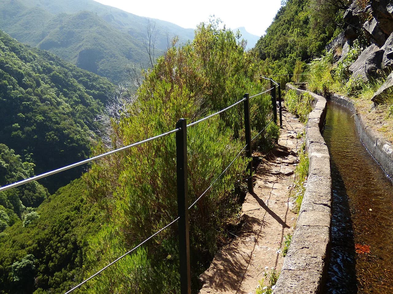
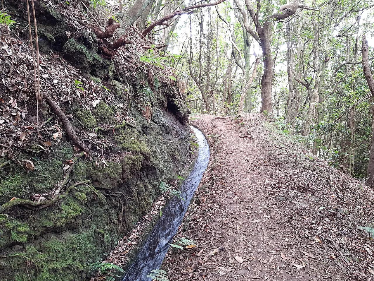
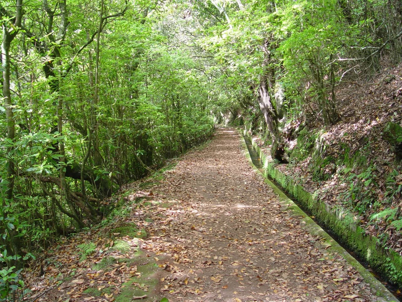
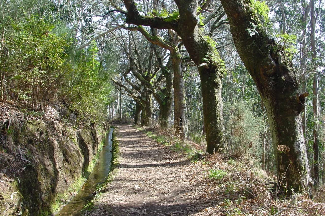
This is one of Madeira's oldest public levadas, and the path follows it through the laurisilva, the island's native laurel forest. The appeal is not a summit but the intimacy of the route: water moving beside your boots, dripping rock, ferns and moss, with glimpses down the valley as the levada loses height toward Portela. Visit Madeira describes the trail as 11 km (6.8 mi) long, taking about five hours.
Other trail surveys measure it differently: a detailed app records a 10.7 km (6.6 mi) point-to-point line with only 53 m (174 ft) of net ascent but 298 m (978 ft) of descent, which matches the shape of the route rather than a flat canal walk. AllTrails lists a much longer figure of 14.6 mi (23.5 km) with about 3,031 ft (924 m) of climbing, so treat any single number as survey-dependent and plan on the official figure as your baseline. The practical point is the same either way: you start high at Ribeiro Frio and end lower at Portela.
Start, finish and why it runs one way
The walk begins at Ribeiro Frio on the ER103 road, where a garden and a trout pond sit at the trailhead and a second trail also sets off. It ends at Portela on the same road, further east and lower, which is why almost everyone walks it in this direction: the levada itself descends and the finish puts you on a road with a village and onward transport. Leave the car at Portela and ride to Ribeiro Frio, or arrange a lift back, because returning on foot means climbing the whole line again.
The trail is a linear route, so the finish is not a loop that returns you to your parking spot. Portela is a small place on the ER103 with little beyond the road, while Ribeiro Frio has the garden, the pond and a trailhead with space for walkers. That asymmetry shapes the day: start with water and food, and treat Portela as an exit rather than a place to linger.
Getting to Ribeiro Frio
By car, Ribeiro Frio is reached on the ER103 between Funchal and Santana, climbing into the mountains above Faial and Porto da Cruz. Parking at the trailhead fills quickly on fine mornings, so arriving early is the simplest way to avoid circling. The driest months bring the most walkers, and the small car park at the trout pond is shared with everyone visiting the garden.
By bus, Ribeiro Frio sits on the Funchal–Santana road corridor and is served from both directions; the trail app points to a bus schedule and route for the start and end of the walk without publishing the times. Look up the current timetable with the island bus operator before you commit, because services are limited and the last return from Portela matters more than the outbound. A bus from Funchal to Ribeiro Frio in the morning, with a later pick-up at Portela, makes the traverse possible without a car at all.
Returning from Portela
Portela is on the ER103, so the return relies on the same road corridor buses that serve Ribeiro Frio, running in the direction of Funchal or Santana. Check the afternoon departures before you start, and note that the walk finishes lower and further east than it begins, so a bus heading back toward Ribeiro Frio passes Portela first. If your car is at Ribeiro Frio, the cleanest arrangement is to park at Portela instead and take a morning bus up to the start.
Two-car groups often leave one vehicle at each end, which removes the timetable entirely and lets you walk at your own pace. Otherwise, time your finish to a known departure rather than arriving at the road and hoping; Portela has no taxi rank and no station, so a missed bus means waiting or walking. Keep the operator's number or app on your phone and confirm the last service on the day you walk.
Distance, ascent and time
Plan around 11 km (6.8 mi) and roughly five hours of walking, which gives a comfortable half-day with stops for the views and the waterfall. The line runs from an app-recorded high point of 886 m (2,907 ft) down to about 641 m (2,103 ft) by Portela, so the net direction is downhill, though the canal path rolls and short climbs along the way add up. A route survey records only 53 m (174 ft) of net ascent against 298 m (978 ft) of descent, which is why the walk feels easier than its length suggests.
Underfoot the surface is the real cost: wet stone slabs, muddy patches and steps beside the channel slow you down more than the gradient does. Count on more time in rain or after heavy weather, and less in a dry spell when the rock grips well. Set a turn-around time if you are catching a bus, and remember the tunnel and the channel edges are where progress is slowest.
Route description
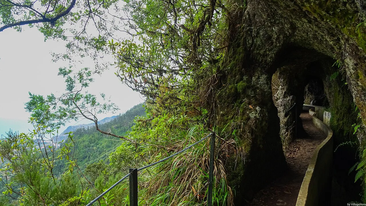
From Ribeiro Frio the path runs beside the levada channel through the laurel canopy, with the water on one side and a drop or a slope on the other for much of the way. The forest is dense and green, full of endemic plants and birdsong, and the walking is mostly level as the channel contours the hillside. This opening stretch is the busiest part of the route, shared with walkers doing a short out-and-back from the trailhead.
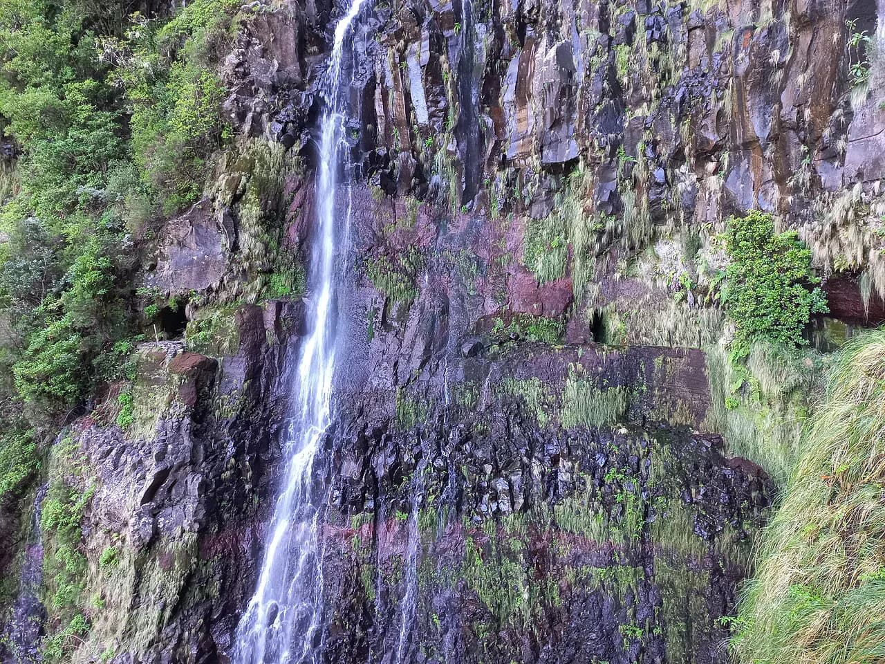
Further on the route passes a waterfall crossing, where water falls across the path and the stone turns slick, and a tunnel cut through rock that requires a headlamp. The trail app flags vertigo, an abyss and a tunnel among the features of this route, which is a fair summary of the character: narrow ledge, exposure beside the channel and a dark passage. Take the wet sections slowly, keep your hands free and switch on your light before you enter the tunnel, not inside it.
Beyond the tunnel the levada continues through forest before the path swings away and descends through more open ground toward Portela. The change is welcome after the enclosed channel, with views across the valley as the trail drops to the road. The app records the low point at 641 m (2,103 ft), so the final descent is modest rather than a long fall off the mountain.
The Pico do Suna alternative at PK 7+200
At kilometre point 7+200 from Ribeiro Frio, an alternative route leaves the levada and climbs an old path toward Pico do Suna before rejoining the channel at Lamaceiros and continuing to Portela. The trail app puts the detour at about 2.2 km (1.4 mi), adding roughly 1.1 km (0.7 mi) to the main line, with around 1,000 m (3,281 ft) of climbing to the peak and about 1,200 m (3,937 ft) of descent to the levada. That is a serious addition, not a scenic shortcut.
Choose it only if you have a full day, legs for sustained climbing and no fixed bus to catch at Portela. In poor visibility or wet weather the detour makes little sense, since the peak view disappears and the extra height costs you time. For most walkers the main levada line is the better day: it keeps the classic channel character and leaves energy for the finish.
Huts, water and facilities
There are no mountain huts or refuges on this traverse, so you carry everything you need and end at a road rather than a bed. Ribeiro Frio is where the services are: the trout pond, the garden and the trailhead, plus the roadside stop where most walkers buy a drink before setting off. Fill your bottles there, because the middle of the route offers forest, water in the channel and little else.
Treat the levada water as scenery rather than supply: it is untreated channel water and flows through farmland and forest. Carry enough for five hours, with a reserve for a slow day, and add food for a full morning. Portela has little to offer at the finish, so plan your meal for the start or for whichever town you return to.
When to go
The walk works year-round at low altitude, but the laurel forest is at its best in the wetter months, when the channel runs full and everything is green. Late spring and early autumn balance good water levels with fewer walkers, while midsummer brings the busiest trailhead and the driest stone. Visit Madeira publishes the route as a standing hiking trail, and the tunnel, channel and forest keep the character similar across the seasons.
Madeira's weather is notoriously local, and the north-facing forest above Faial catches cloud and rain that the south coast does not. A wet morning makes the stone slippery and the waterfall crossing livelier, so save a flexible day for this walk rather than fixing it to your first morning on the island. If the cloud is down and rain is set in, consider a shorter levada rather than the full traverse.
Hazards and exposure
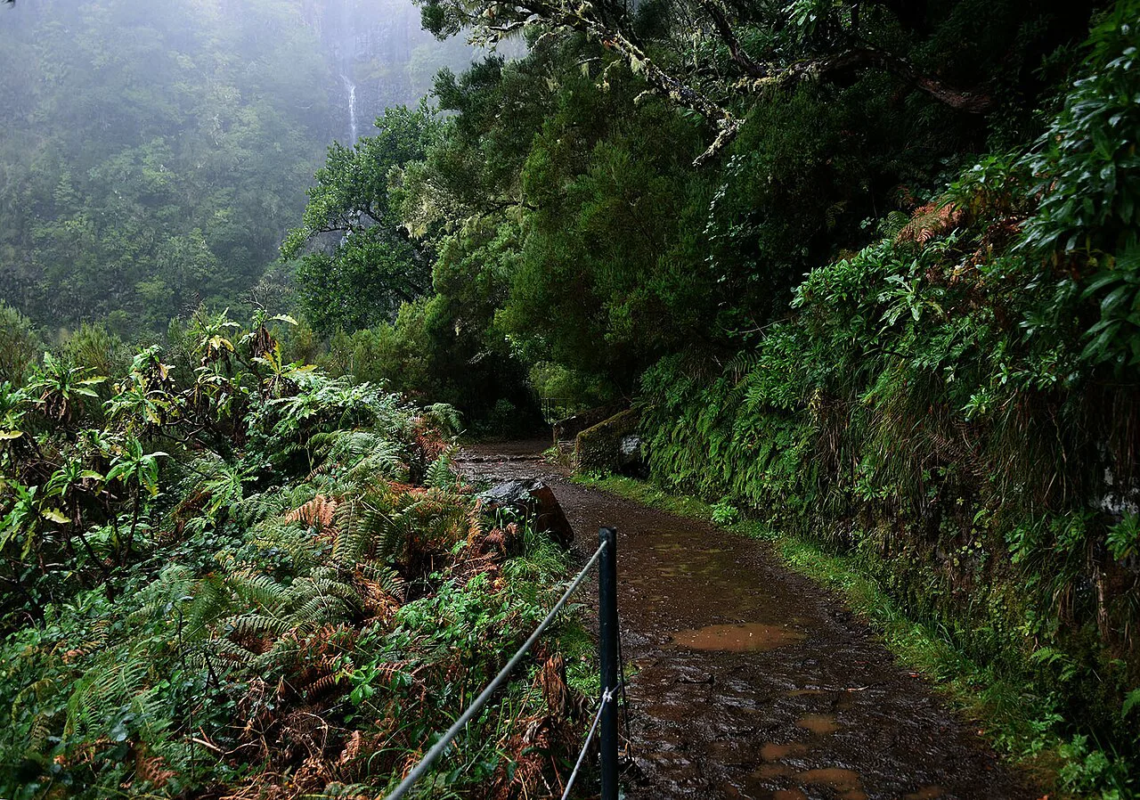
The main hazards are the ones the route lists: vertigo beside the channel, an abyss where the path edges a drop, and the dark tunnel. The stone is wet for much of the year, with steps, roots and slab sections that punish a fast pace, and the unprotected channel edge leaves little room for error when passing other walkers. Walk single file at the narrow points, let faster groups pass and keep children close on the exposed stretches.
Afternoon rain and low cloud can arrive quickly, reducing visibility inside the forest and making the descent to Portela greasy. Start early enough to finish before the worst of the weather, and turn back if the waterfall crossing is running hard. There is no scrambling on the main line, so the risk is slipping and stumbling rather than technical difficulty.
What to wear and carry
Wear boots or shoes with a real tread for wet stone, and take a light rain shell even on a clear forecast, since the forest holds moisture and the weather changes with elevation. A headlamp is the one item walkers forget for the tunnel, and it belongs in your pack rather than your hand. Trekking poles help on the wet steps but are awkward on the narrow channel edges, so many hikers leave them down on the ledge sections.
Carry water for the full five hours, food for a long morning and a phone with the bus operator's contact saved. A small towel or dry bag for camera gear is worth it near the waterfall, and a warm layer makes the shaded forest more comfortable. Leave a change of clothes at the car, particularly if you are driving over the mountain afterward.
Where to stay
Santana, on the north coast below Portela, suits this walk well: it sits at the end of the road corridor, has a range of lodging and gives you a short hop to Portela to catch the bus up to Ribeiro Frio. Faial, between Santana and the trailhead, is closer to Ribeiro Frio and quieter, with guesthouses and the ER103 on the doorstep. Funchal works for a day trip, but the drive or bus ride eats into the morning.
Staying near the start means an early trailhead arrival and a relaxed walk, while staying near the finish shortens the return. If you plan several walks, choose one base on the north side and treat the ER103 as your spine, since Ribeiro Frio, Portela and Santana all sit along it.
Levada do Furado versus other levadas
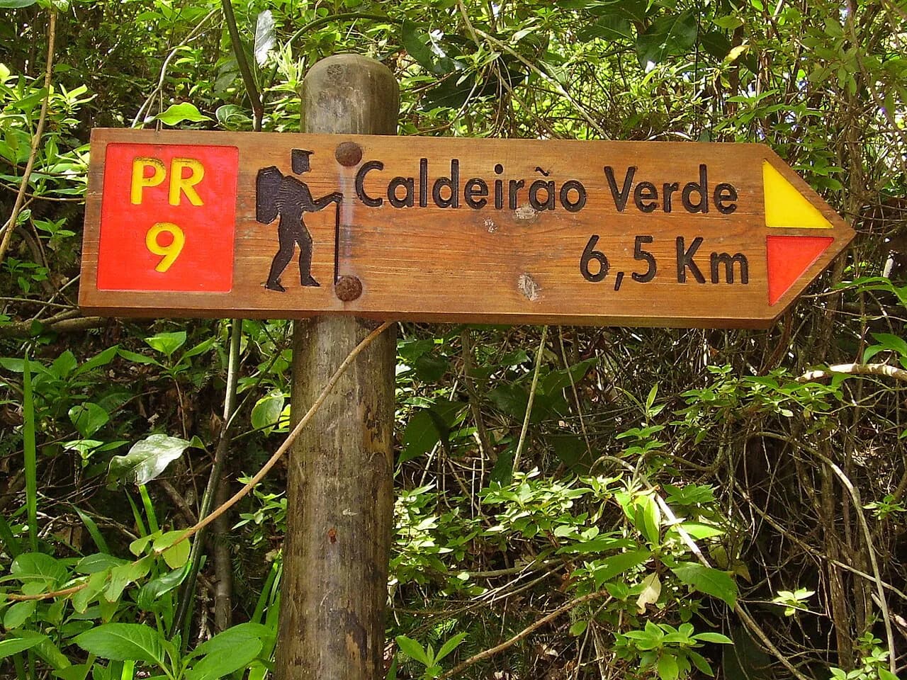
The Levada do Caldeirão Verde (PR9) and the Levada das 25 Fontes are the obvious alternatives, and the choice comes down to format. The Furado is a linear traverse that ends in a different place, which rewards planning but delivers a fuller day; the caldeirão and fontes walks follow their channels to a destination and back, so they are simpler to organise and easier to shorten. If you want the one-way experience and can solve the return, the Furado is the more complete walk.
The valley walks also draw bigger crowds at their narrowest points, while the Furado spreads walkers along 11 km of channel and thins out after the first hour from Ribeiro Frio. For a contrast on higher ground, the ridge traverse between Pico do Areeiro and Pico Ruivo is a different day entirely: exposed, steep and above the treeline, rather than shaded and level beside water. Pick between them on fitness and weather, not on which is more famous. If you are weighing more than one island for this kind of walking, compare it with hiking in Tenerife before you book.
Plan Your Visit
The Levada do Furado rewards a little preparation: park or arrange your return at Portela, ride up to Ribeiro Frio, carry water for five hours and a headlamp for the tunnel, and set off early enough for the bus. The route itself is gentle in gradient but demanding underfoot, so allow the full half-day and keep your pace steady on the wet stone.
Walk it in the wetter months for a full channel and green forest, or in late spring and early autumn for balance, and treat the Pico do Suna detour as a separate objective rather than an add-on. With the finish secured, the traverse becomes one of the most satisfying ways to spend a morning in Madeira's laurel forest.
Frequently Asked Questions
How long does the Levada do Furado take?
Visit Madeira gives about five hours for the 11 km (6.8 mi) route, which is a realistic half-day for most walkers. Wet stone, the waterfall crossing and the tunnel slow progress, so allow extra time in rain or after heavy weather.
Where does the PR10 start and finish?
The walk starts at Ribeiro Frio, on the ER103 with its trout pond and garden, and finishes at Portela, further east and lower on the same road. It is a linear route, so you need a bus or a second car to return to the start.
Is Levada do Furado easy or hard?
The gradient is gentle and there is no scrambling, but the narrow channel edges, wet stone and tunnel make it more demanding than a flat canal path. Survey data shows only a small amount of ascent, with the route descending overall toward Portela.
Is there a tunnel on Levada do Furado?
Yes, the route passes through a tunnel cut in rock, so bring a headlamp and switch it on before you enter. The trail also includes a waterfall crossing where the stone is slick.
How do you get back from Portela after walking PR10?
Use the ER103 bus corridor that connects Portela with Ribeiro Frio, Funchal and Santana, and check the afternoon departures before you set off. Groups with two cars often leave one at each end of the walk.
What is the Pico do Suna alternative on the PR10?
At kilometre point 7+200 an alternative route climbs toward Pico do Suna and rejoins the levada at Lamaceiros. It adds about 1.1 km (0.7 mi) and around 1,000 m (3,281 ft) of climbing, so choose it only with a full day and good weather.
When is the best time to hike Levada do Furado?
The forest is at its best in the wetter months, when the channel runs full, while late spring and early autumn balance water levels with fewer walkers. Madeira's weather is local, so keep a flexible day for this walk.
Sources
Trail notes for your next trip
Optional updates when we add or revise hiking guides.
You might also like
Continue reading
More guides you'll find useful