Levada da Serra do Faial: Choupana to Camacha Walk Guide
Walk Madeira's Levada da Serra do Faial from Choupana to Camacha: an easy 6.2 km levada path with figures, route notes and trailhead access.
On this page
The Levada da Serra do Faial suits hikers who want a gentle half-day on Madeira's south side, following a water channel through dense green forest from the uplands above Funchal down to the parish of Camacha. It is a one-way route of 6.2 km (3.9 miles) with only 73 m (240 ft) of accumulated ascent, so it works well for beginners, mixed-ability groups and anyone recovering from a harder day on the island's peaks.
You will also see the walk named Vale Paraíso on some signs and maps, which helps when you match the route against local waymarking at the trailhead. The reward is not a summit but the atmosphere: water moving beside the path, endemic trees overhead and occasional clearings that open onto the villages scattered across the hills above Funchal and Camacha.
What the Levada da Serra do Faial offers and who it suits
This is Madeira at its softest. The path runs beside the levada channel for most of its length, so the walking is level or gently descending rather than steeply stepped, and the accumulated ascent is small enough that fitness is barely a factor. Absolute beginners, families with older children and hikers who want a rest-day walk between bigger outings all fit here.
The trade-off is that you get forest and water rather than big mountain views. If you came to Madeira for ridge walking and high summits, this is a companion to that itinerary rather than a replacement; the island's high routes are covered in the hiking in Madeira guide. Think of the Levada da Serra do Faial as the day you slow down, walk under the canopy and finish in a village with time to spare.
Where the walk starts and ends: Choupana and Camacha
The route begins at Choupana, in the high zone above Funchal, and finishes at Camacha, the parish known for its cultural and traditional life on the island's south side. Because it is a point-to-point walk, you need to plan two ends: getting up to Choupana in the morning and getting away from Camacha in the afternoon.
Camacha is the practical half of that equation. It sits on the road network above Funchal and is served by buses, so most hikers arrange a lift or taxi up to Choupana and then return from Camacha by bus or a pre-arranged pickup. Walking the route in reverse from Camacha to Choupana turns the gentle descent into a gentle climb, which is a sensible swap if the bus connections suit you better in that direction.
Getting to the Choupana trailhead and back from Camacha
Choupana lies on the winding road that climbs from Funchal into the hills, close enough to the city that a taxi or a lift from your accommodation is straightforward. There is no lift or cable car serving the trailhead, so plan on road access; if you are driving, park where the road allows near the start and check locally that you are not blocking access, since this is a residential lane rather than a formal trail car park.
For the return, Camacha has bus connections toward Funchal, and the timetable is the thing to check before you set off, because services thin out later in the day. The walk's own route page lists directions to the start and finish by car and by bus, and it is the sensible place to confirm the current bus route before committing to a one-way walk.
Distance, ascent, descent and walking time
The Levada da Serra do Faial measures 6.2 km (3.9 miles) point to point, with 73 m (240 ft) of accumulated ascent and 28 m (92 ft) of descent. The low point is 729 m (2,392 ft) and the high point 782 m (2,566 ft), a spread small enough that the path reads as level or gently undulating from Choupana to Camacha.
Allow about 2 hours 15 minutes of walking at an unhurried pace, and add time for photographs, birdwatching and the occasional pause where the trees open up. The route is graded easy, so a fit hiker will finish comfortably inside that window; a group with young children or frequent stops should budget closer to three hours and treat the Camacha bus as a soft deadline rather than a tight one.
Route description: forest, levada channel and viewpoints
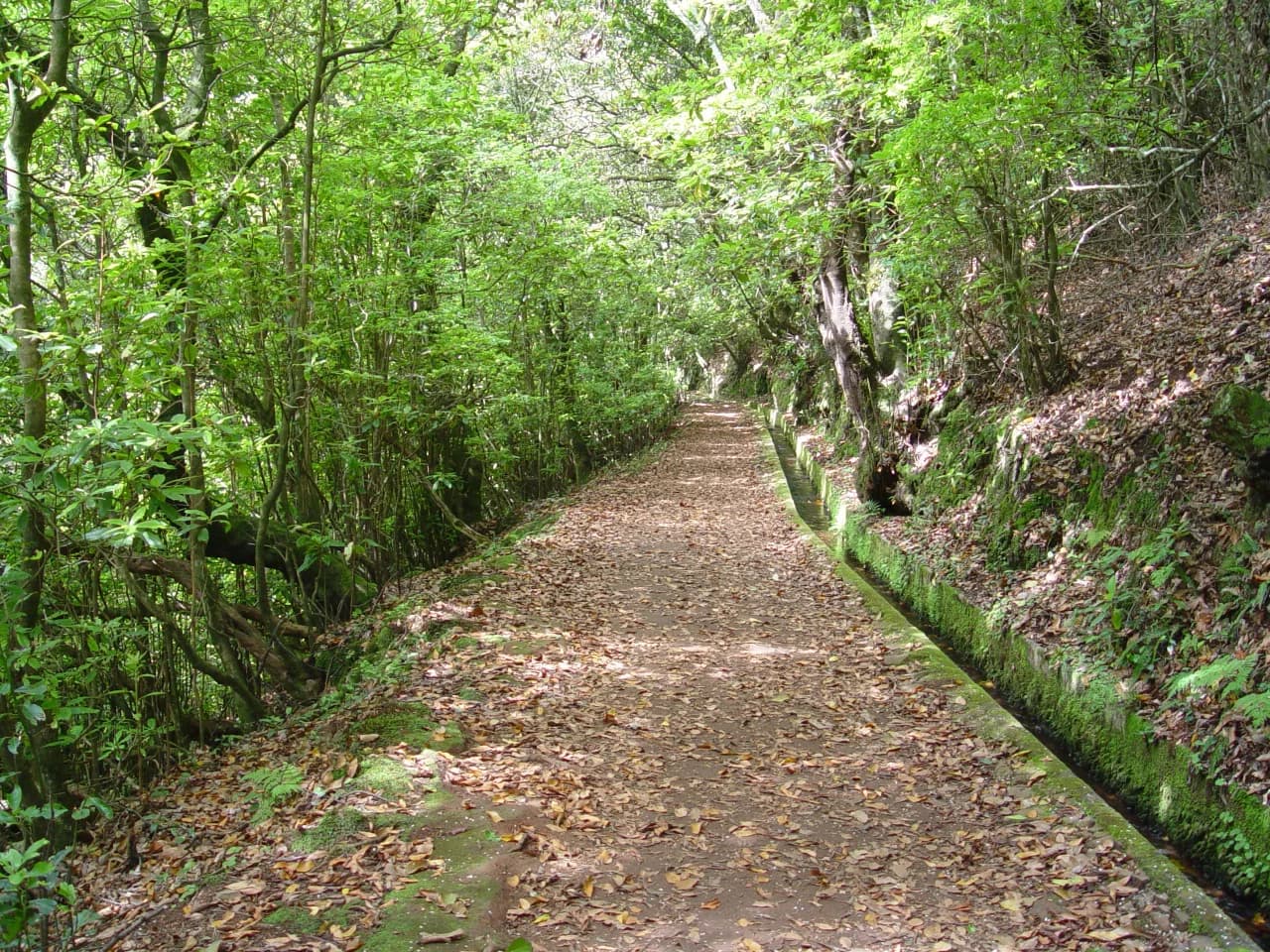
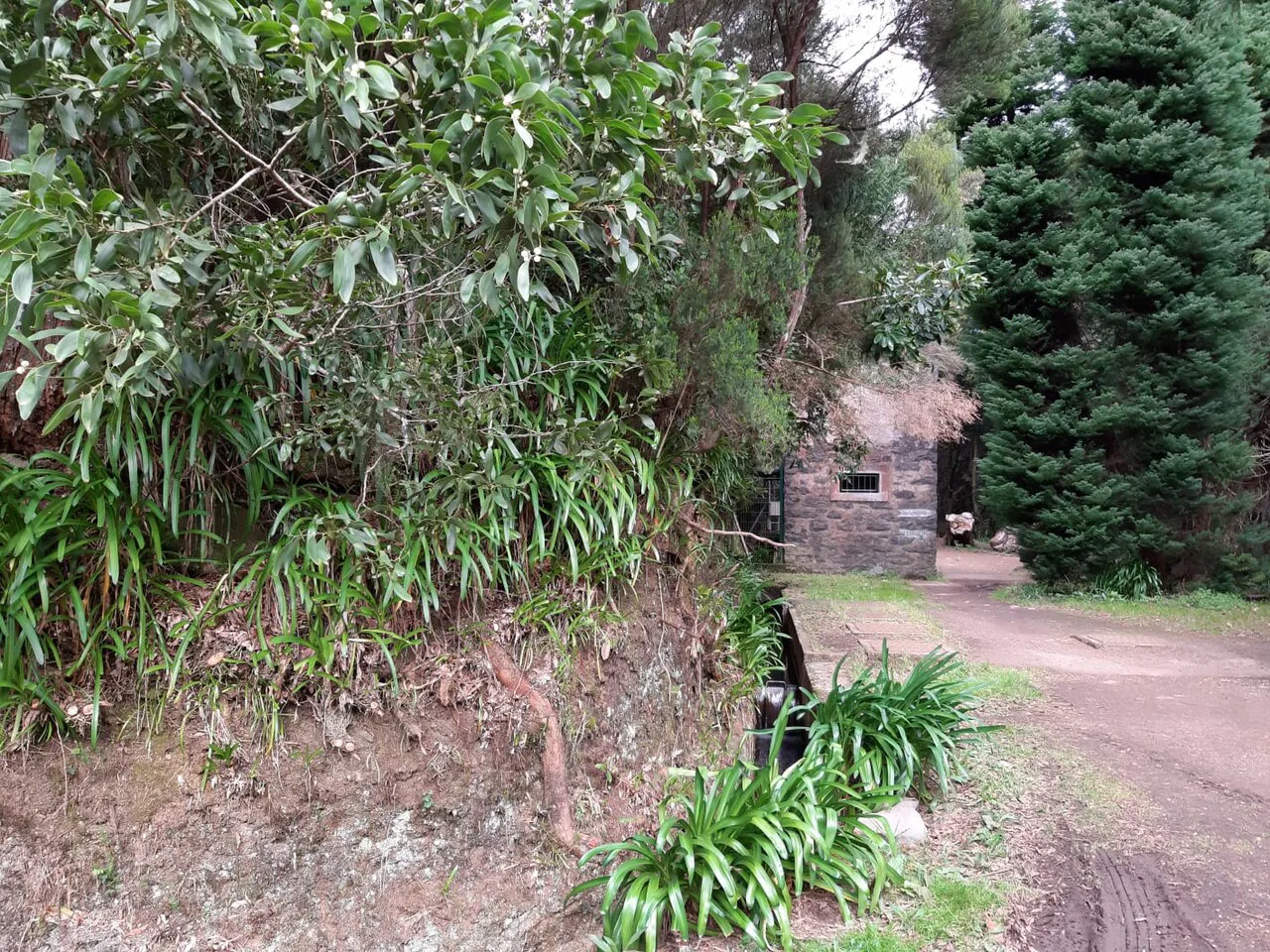
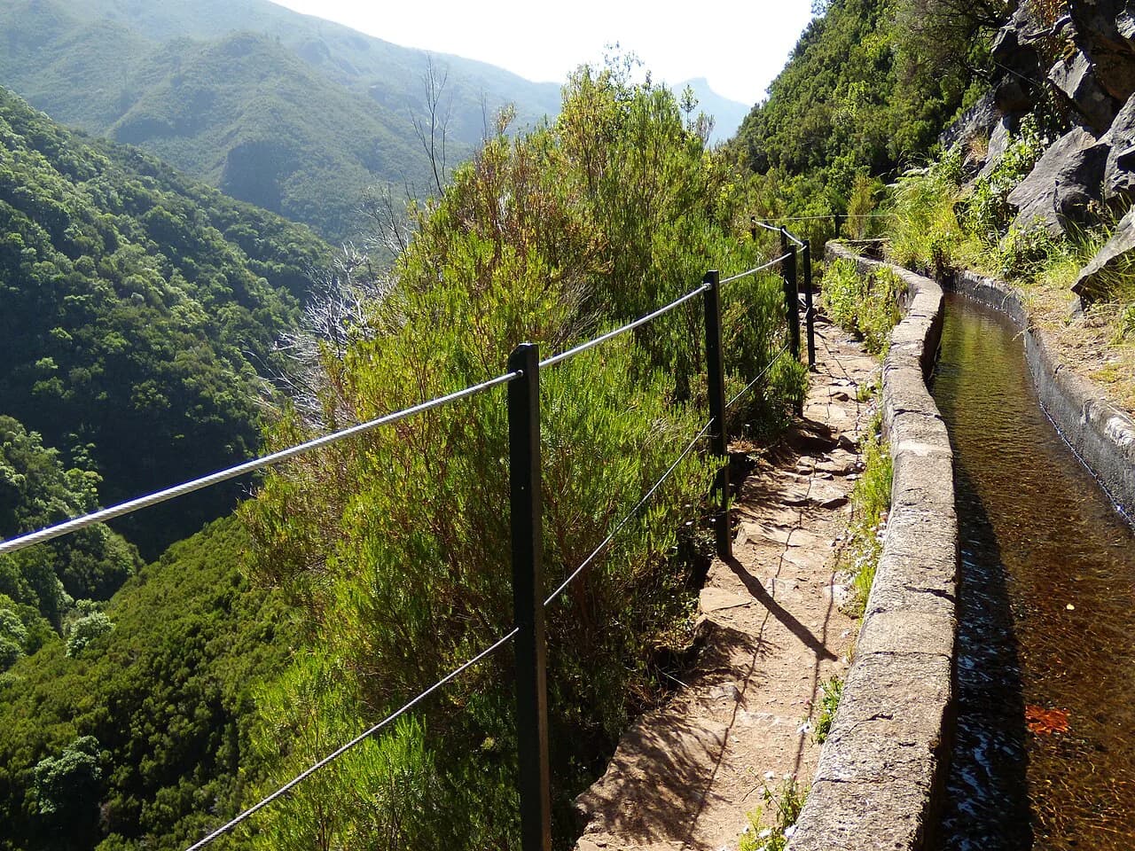
From Choupana the path sets off through the green belt above Funchal, tracking the levada as it contours around the hillside. The first stretch is the most enclosed, with the channel audible beside you and the canopy closing overhead; this is where the modest 73 m of ascent is absorbed, so take it steadily and let the forest set the pace.
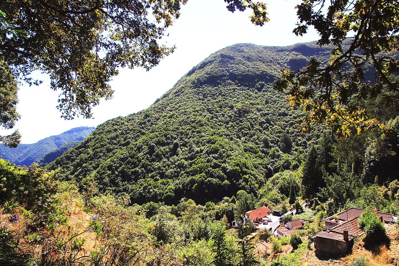
Midway, the cover breaks in places and you get the views that define the walk: small settlements spread across the slopes of the Funchal area and toward Camacha, seen from an angle most visitors never get. These openings come and go rather than forming one grand viewpoint, so keep your camera handy rather than waiting for a single panoramic stop.
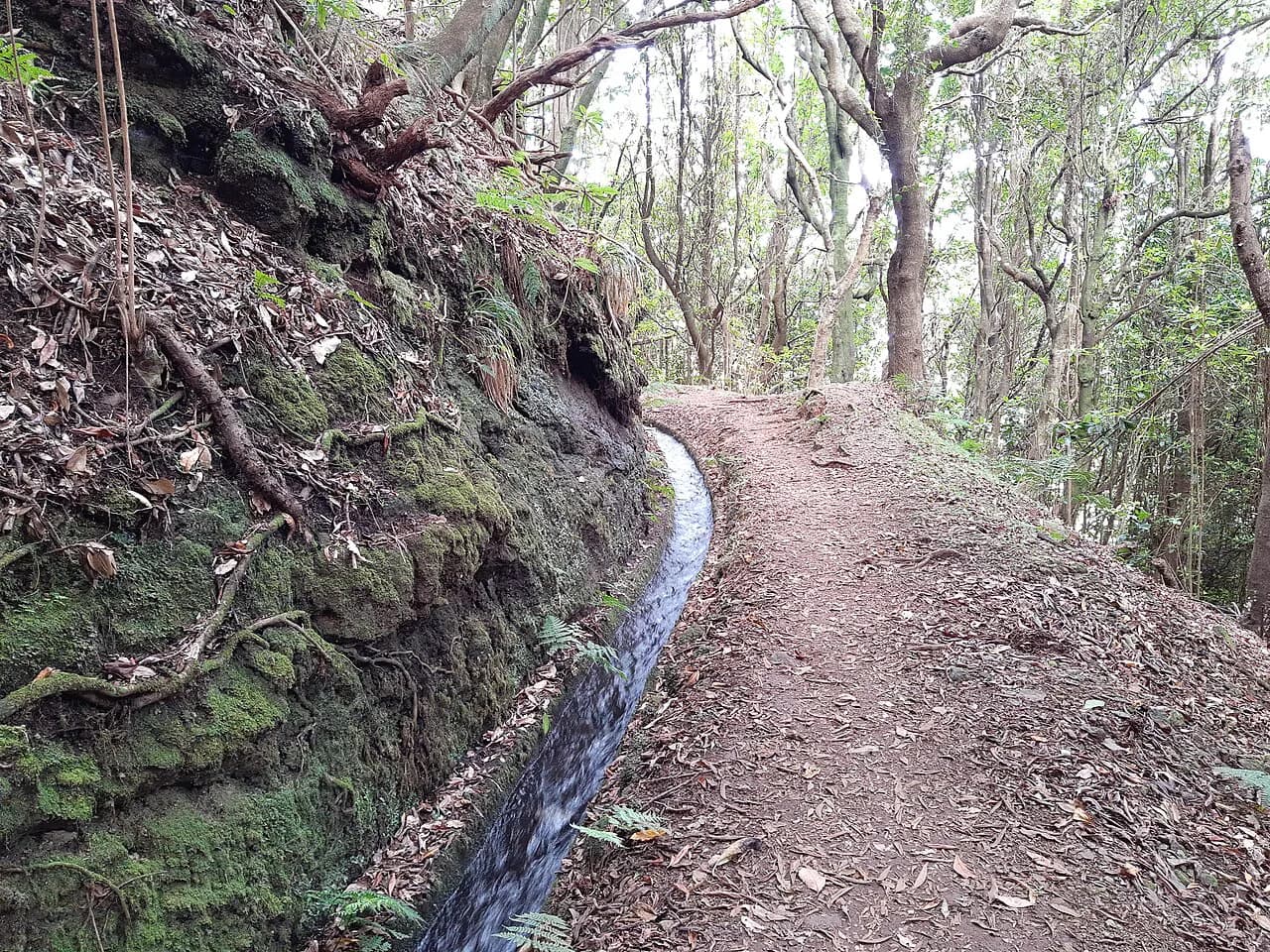
The final section eases you into Camacha, dropping gently through the last of the trees before the path delivers you to the parish. The walking is never exposed and there is no scrambling, but the levada edge is a channel rather than a wide trail in places, so keep children close and watch your footing when the stone is wet.
Flora, birds and the laurel forest along the way
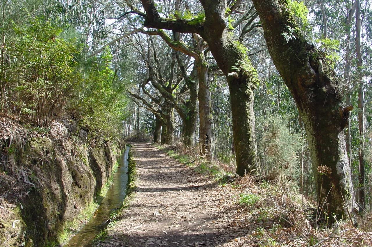
The route is a good introduction to Madeira's endemic vegetation, with the levada corridor supporting a mix of native trees and ferns that stays green through the year. Birds move in the canopy and along the water, and the walk is quiet enough that you will hear them before you see them.
Because the walking is easy and the path linear, this is a route where slowing down pays off more than pushing on. If you carry binoculars, the forested middle section is where to use them, and if you are walking with someone who is new to wildlife, the channel itself is the best place to start looking.
When to go: seasons and weather on Madeira's south side
Position on the south side of the island is what makes this levada a realistic option in any month. The route is described as an easy walk suitable for everyone and a valid choice throughout the year, which is rare among Madeira's high and exposed routes. Winter rain makes the channel fuller and the stones slicker, so shoes with grip matter more than any technical gear.
The one recurring hazard is water underfoot: levada paths are narrow, often shaded and slow to dry after rain, so treat wet stone as the main risk rather than altitude or exposure. Afternoon cloud can build over the hills above Funchal, so an early start gives you the clearest light and the widest margin before the Camacha bus you are aiming for.
Facilities in Camacha at the finish
Camacha is a working parish rather than a trailhead hub, so plan your finish around the bus connection and a walk through the village rather than expecting a formal hiker facility. The parish has a strong cultural and traditional identity and is visited by tourists daily, which means you will find places to eat and drink in the village center.
If you need a private transfer or a guided version of the walk, a number of operators run the Choupana-to-Camacha route as an organized outing, which removes the two-end logistics entirely. The private walk option covers the same route through Madeira's south with a guide, and it suits hikers who would rather not plan the return bus themselves.
Nearby levadas worth adding to the same trip
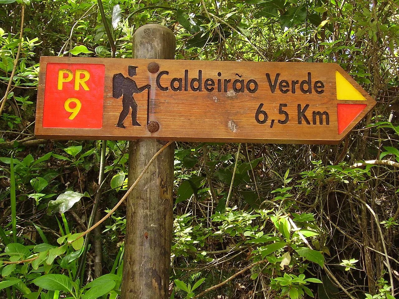
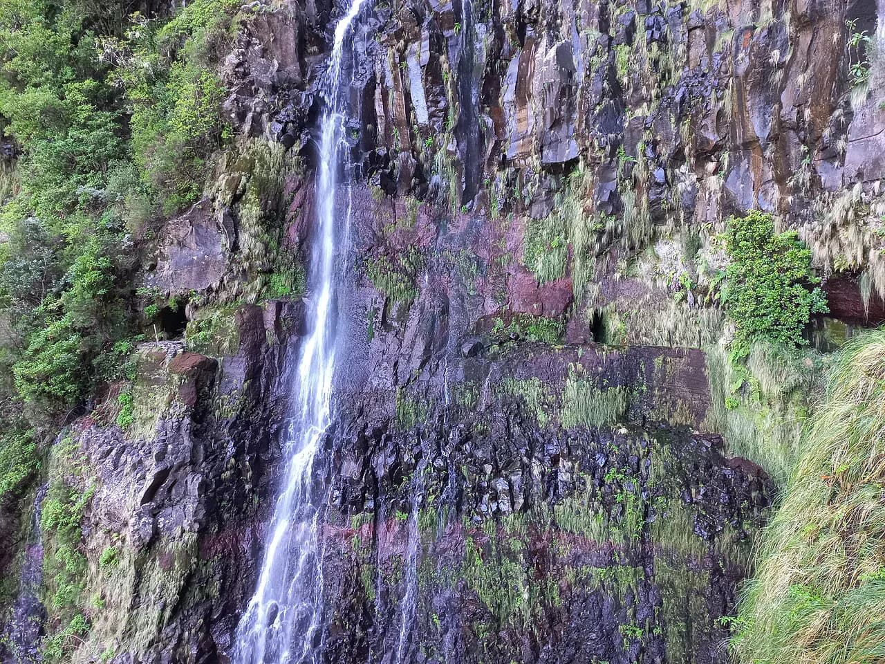
If this gentle introduction leaves you wanting more water-channel walking, Madeira has plenty of alternatives, from the long Levada do Caldeirão Verde (PR9) in the north to the popular Levada das 25 Fontes with its Risco waterfall on the Paul da Serra plateau. Each is a full day in its own right and best treated as a separate outing rather than an add-on to Camacha. If you are weighing Madeira against other island walking for a future trip, the Azores hiking guide covers the same levada-style decisions elsewhere in the Atlantic.
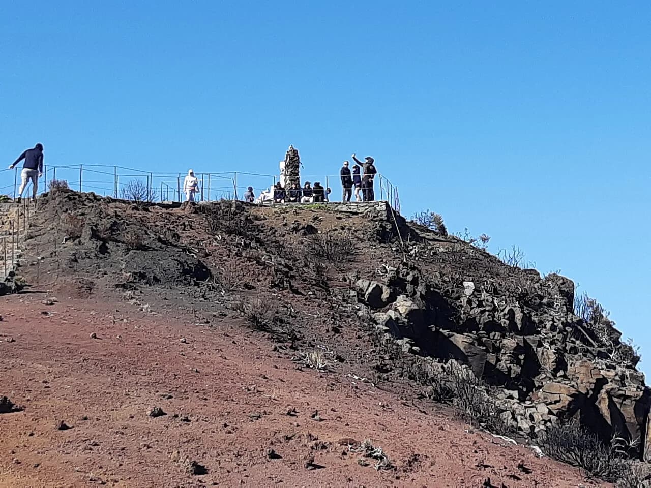
Hikers who want a sharper contrast should pair this easy south-side route with a high-mountain day on the PR1 Madeira traverse between Pico do Areeiro and Pico Ruivo, which delivers the ridge scenery and exposure the levada deliberately avoids. Keep the two on separate days: the PR1 deserves fresh legs and a settled forecast.
Plan Your Visit
Treat the Levada da Serra do Faial as a half-day walk with logistics at both ends: a lift or taxi up to Choupana, roughly 2 hours 15 minutes of easy forest walking, and a Camacha bus back toward Funchal. Check the bus timetable before you leave, and carry shoes with grip for the wet stone beside the channel.
What you get in return is a green, water-fed slice of Madeira's south side that works in any season and leaves your legs fresh for the island's bigger days. Walk it early, walk it slowly, and finish in Camacha with the afternoon still ahead of you.
Frequently Asked Questions
Where does the Levada da Serra do Faial start and finish?
It runs point to point from Choupana, in the hills above Funchal, down to the parish of Camacha on Madeira's south side. Plan transport to the start and a return from Camacha, since the two ends are in different places.
How long is the Levada da Serra do Faial and how much ascent is there?
The route covers 6.2 km with 73 m of accumulated ascent and 28 m of descent, running between a high point of 782 m and a low point of 729 m. It is graded easy and takes most walkers about 2 hours 15 minutes.
Can you walk the Levada da Serra do Faial all year?
Yes. Its position on the south side of Madeira makes it a year-round option, and it is described as an easy walk suitable for everyone. Rain leaves the stone beside the channel slippery, so grip matters more than season.
How do you get back to Funchal from Camacha after the walk?
Camacha is served by bus, so most hikers ride back toward Funchal from the finish. Services thin out later in the day, so check the current route and timetable before setting off.
Is the Levada da Serra do Faial suitable for beginners?
It is one of the gentlest options on the island: little ascent, a path that follows the levada channel and an easy grade. Keep children close where the trail runs beside the channel and watch your footing on wet stone.
Sources
Trail notes for your next trip
Optional updates when we add or revise hiking guides.
You might also like
Continue reading
More guides you'll find useful