Where to Stay in Madeira for Hiking: Best Bases by Trail
Choose a Madeira base by the hikes you want: Funchal for buses and tours, Ribeiro Frio for levadas, Santana for the east coast and Ponta de São Lourenço.
On this page
Madeira packs mountain ridges, laurel forest water channels and a dry coastal headland onto an island you can cross in a morning, yet the trailheads sit on opposite sides of it. Pick a base around the trails you intend to walk, and short transfers replace two-hour drives on winding roads.
The decisive question is whether you rent a car. Funchal gives you buses and organized transfers to several trails, while the high peaks and the Rabaçal valley are car or tour territory. This guide matches bases to specific routes so you can commit to one or two places to sleep rather than repacking every night.
How Madeira's Geography Shapes Your Base
Madeira is a volcanic island with a mountainous spine running east to west, a wetter, forested north side and a sunnier south coast where Funchal sits. Trails cluster in three zones: the central peaks around Pico do Arieiro and Pico Ruivo, the western interior around Rabaçal, and the eastern forests and headland.
Roads climb steeply from the coast, so a straight-line distance on the map understates the drive. Sleeping in Funchal and walking the eastern tip means a long morning transfer; sleeping in Santana and walking the western levadas means the reverse. Splitting a week between two bases removes most of that friction.
Morning cloud and afternoon clearance matter too. The peaks are often clear early and shrouded later, which favors bases close enough to reach Pico do Arieiro at first light rather than crossing the island in the dark.
Funchal: The Base for Hikers Without a Car
Funchal is the island's transport hub: most intercity buses start here, and the small-group walking tours and transfer services that reach remote trailheads pick up from hotels in and around the city. For a hiker relying on public transport, this is the practical choice.
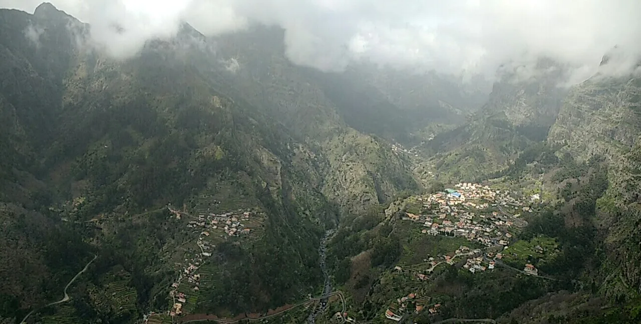
From the capital you can reach Ribeiro Frio for the Balcões viewpoint on buses 56, 103 and 138, and Ponta de São Lourenço via bus 113 to Caniçal. Bus 81 climbs to Eira do Serrado above Curral das Freiras, letting you walk downhill into the village and ride back rather than face the steep climb on foot.
What Funchal does not give you is a short hop to Rabaçal or Pico do Arieiro. Both are car-only or tour-only starts, so book a transfer or guided day if you are not driving. Staying in the city also means early starts for the popular levadas, since tour pickups typically run before the crowds arrive.
Ribeiro Frio and the Santana Side: Forest Levadas
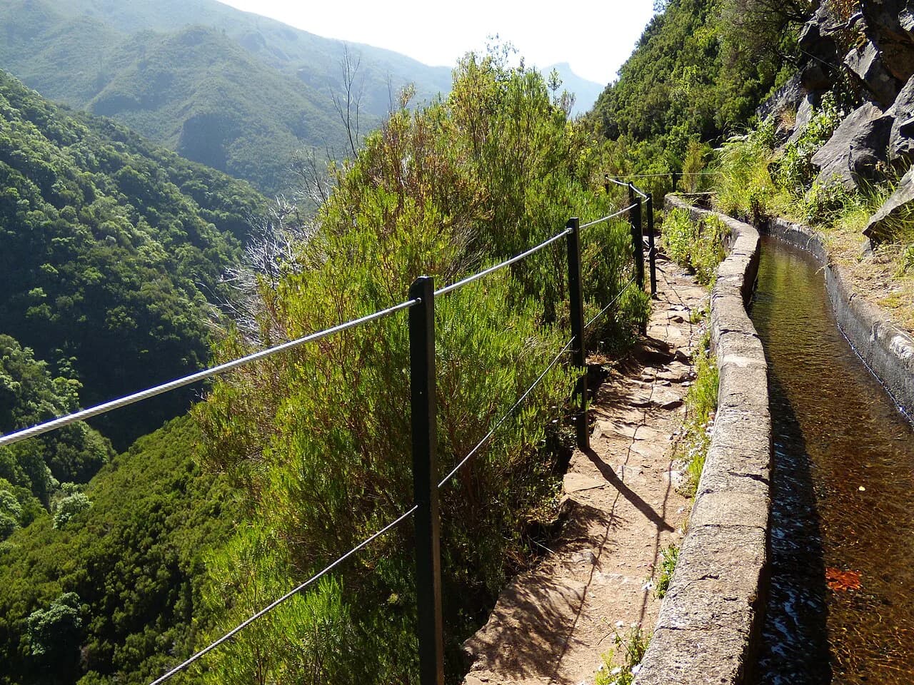
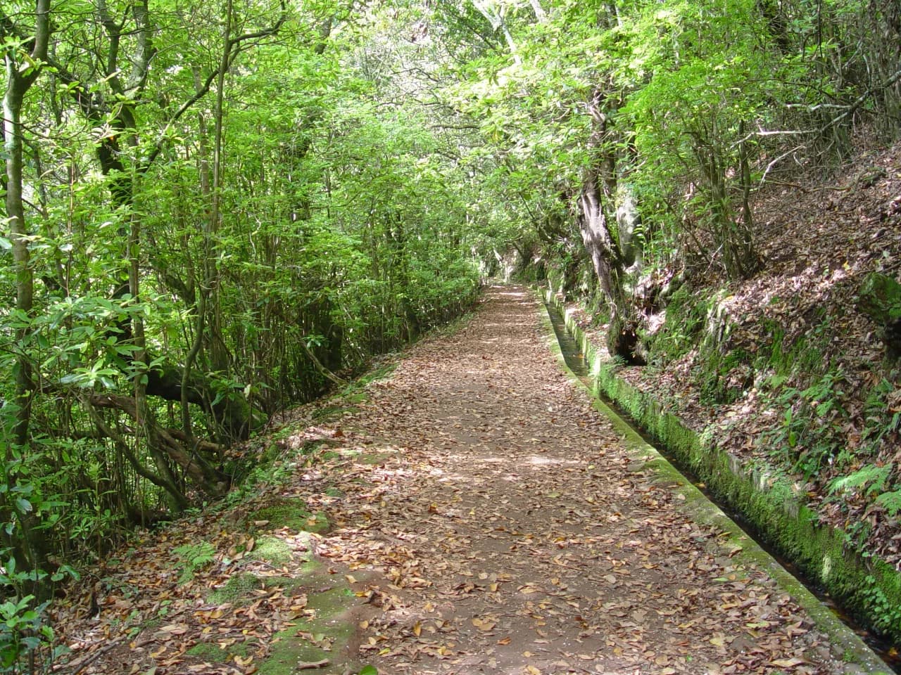
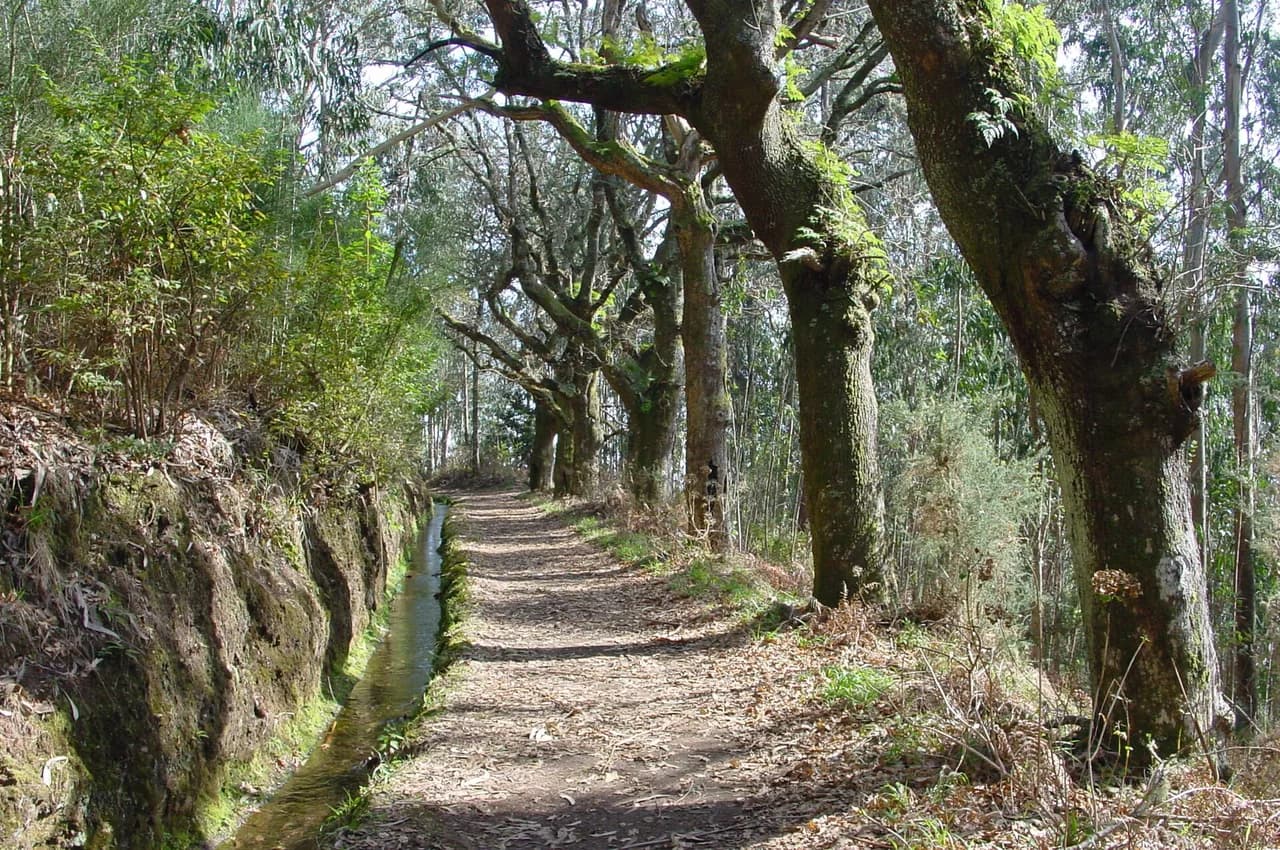
Ribeiro Frio sits on the E.R. 103 road in the northern highlands and is the trailhead for the Vereda dos Balcões (PR11), a short, almost flat walk along a levada to a viewpoint facing the island's highest peaks. The walk takes well under an hour each way, which makes it the gentlest introduction to Madeira's water channels.
Parking at Ribeiro Frio is limited and fills on fine days, so sleeping nearby lets you walk the trail before the coaches arrive. The village itself is small, with cafés and a fish farm rather than a wide choice of beds, so many hikers base in Santana and drive up.
Santana, on the north coast below the forest, is a genuine town with the island's famous triangular houses and quick access to both Ribeiro Frio and the Queimadas Forest Park. That makes it a sensible base for a levada-focused few days rather than a single morning outing.
Rabaçal and the Western Interior: 25 Fontes and Risco
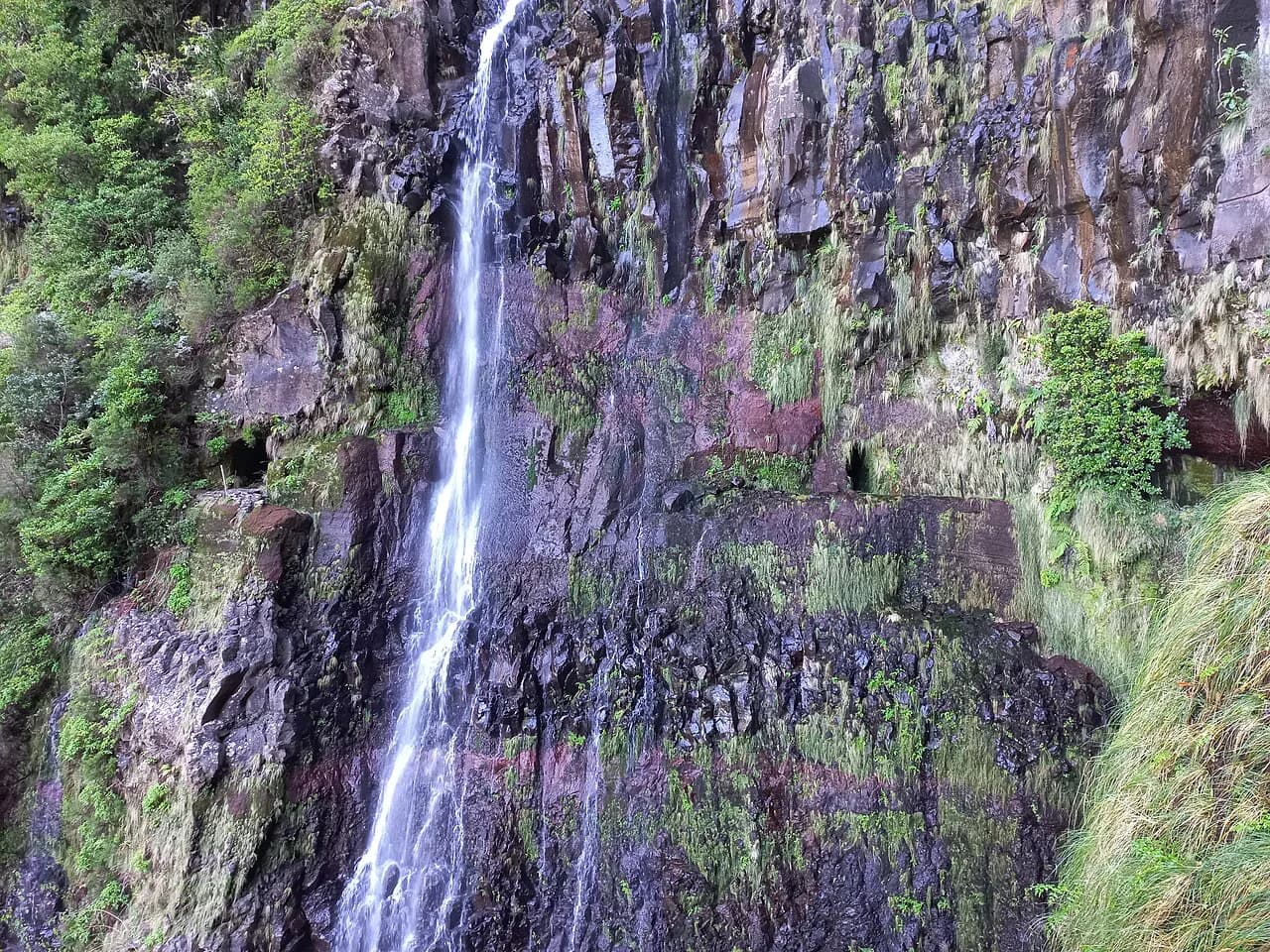
The 25 Fontes and Risco waterfall trails begin from the Rabaçal area off the E.R. 110 road, high on the western plateau. The trail runs about 9.2 km (5.7 miles) and takes three to four hours, following narrow levada ledges to a waterfall and a pool fed by many springs.
There is no public transport to Rabaçal, so you either drive or join an organized transfer from the south coast. A small shuttle runs from the roadside car park down to the trail start, and it does not begin until 10 AM, which is worth knowing if you plan to walk early and ride back up.
The paths are narrow and often muddy, with steep drops beside the channel and a one-way circuit now managing flow on part of the route. Waterproof footwear matters more than fitness here. The nearest practical bases are the south-coast towns below the plateau, from which you drive up in under an hour.
Staying Close to Pico do Arieiro and Pico Ruivo
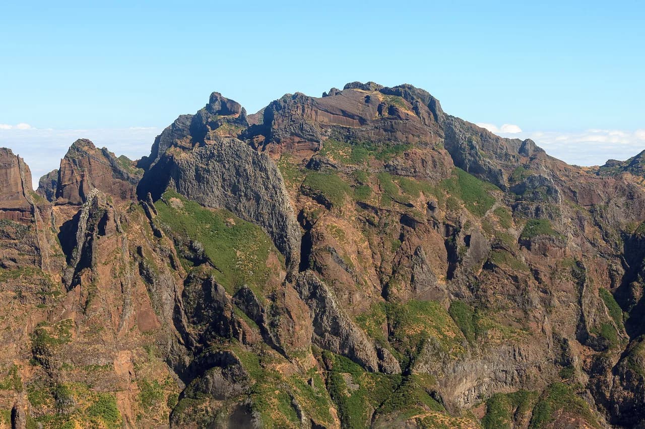
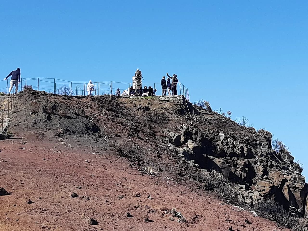
The ridge traverse between Pico do Arieiro and Pico Ruivo is Madeira's headline mountain day, with staircases, tunnels and sheer drops along a route that takes most hikers six to eight hours for the full out-and-back. The Pico do Arieiro car park is the usual start and fills quickly, so an early arrival is the difference between walking and turning around.
The shorter alternative climbs to Pico Ruivo from Achada do Teixeira, about 2.8 km (1.7 miles) each way with roughly three hours round trip. Neither trailhead has public transport, so a car or a booked transfer is the only way in.
Weather on the ridge bears little relation to the coast, and the summit can sit in cloud while Funchal basks. Staying on the south coast within easy reach of the mountain road lets you take the first clear morning rather than committing to a date in advance.
Santana and Porto da Cruz: The East Coast Option
The Ponta de São Lourenço trail runs about 8 km (5 miles) out and back along the eastern headland, taking four to five hours with constant short climbs and no shade. Wind is the real hazard, and gusts can be strong enough to make the exposed sections unsafe.
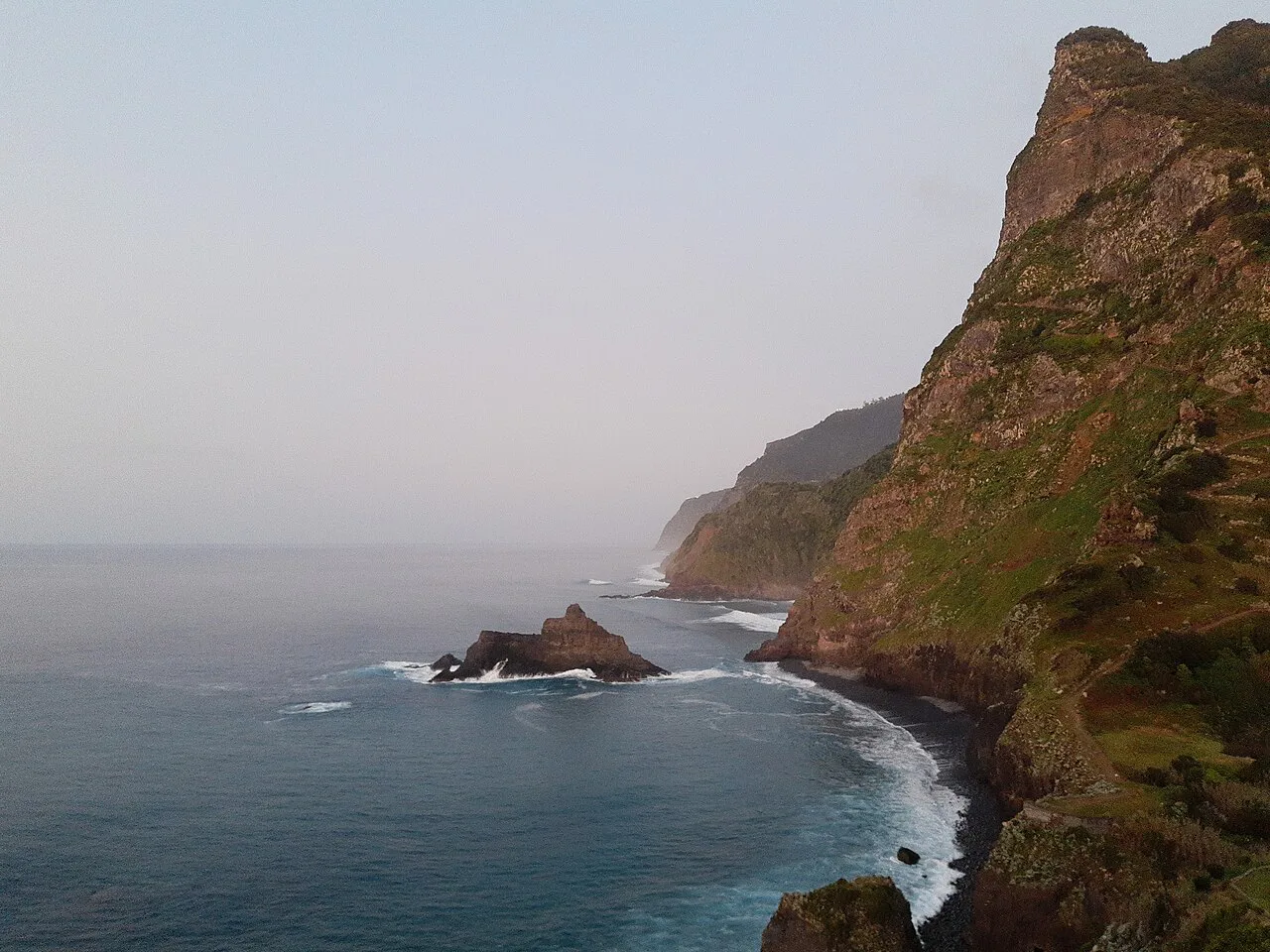
The trail starts at a car park at the end of the road past Caniçal, reachable by bus 113, taxi or your own car. Porto da Cruz and Santana on the north-east coast put you within a short drive of that start for an early, cooler walk.
This side of the island also serves the Levada do Rei near São Jorge on the north coast, an easy forest walk with a short tunnel and a waterfall finish. It is not served by public transport, so a car or a transfer booked from your base is the practical route.
South-Coast Towns: A Central Base With a Car
If you rent a car, the towns along the south coast put the whole island within day-trip range: the motorway runs along this side, and the mountain roads to Rabaçal and the peaks branch off it. Ribeira Brava, Calheta and Machico each give a different balance of coast and access.
Staying south trades altitude for convenience. You will drive to every trailhead, but you keep restaurants, shops and a pool at the end of the day, which suits mixed groups where not everyone hikes every morning.
Matching Bases to PR1, PR1.2, PR6, PR8, PR9 and PR11
For the ridge route PR1 and the summit spur PR1.2, stay south or at Santana and drive to Pico do Arieiro or Achada do Teixeira at dawn. For the 25 Fontes and Risco trails PR6 and PR6.1, the south-coast towns below Paul da Serra are closest, with a car needed either way.
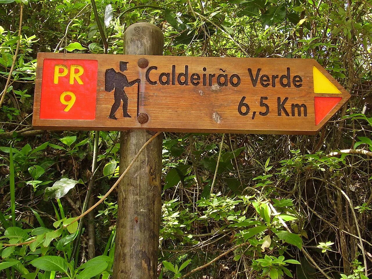
For the coastal PR8, base at Porto da Cruz or Santana and use bus 113 or a car to reach Caniçal. For the Levada do Caldeirão Verde (PR9), Queimadas Forest Park above Santana is the trailhead, and the walk through tunnels to the waterfall runs about 13 km (8 miles) over five to six hours.
For the easy Balcões walk PR11, stay near Santana or Ribeiro Frio and use the 56, 103 or 138 buses if you have no car. Queimadas and Ribeiro Frio are close enough to pair on consecutive days from a single north-side base.
How Buses Reach Trailheads, and Where They Do Not
Madeira's buses cover the coast and main villages but stop short of the mountain trailheads. The useful exceptions for hikers are the services to Ribeiro Frio, Caniçal and Eira do Serrado, which open up Balcões, Ponta de São Lourenço and the Curral das Freiras descent without a car.
Rabaçal, Pico do Arieiro and Achada do Teixeira have no bus service, so plan a rental car, a taxi or a transfer for those days. Schedules are sparse on weekends and holidays, which makes a car the more flexible choice if your trip centers on the high trails.
Trail Reservations, Fees and Access From Your Base
Several of Madeira's most popular routes now require advance booking and a small conservation fee, paid through the Simplifica Madeira platform. Capacity is limited on some trails, so book your slot before you fix which base you sleep in.
The reservation system changes the logic of choosing a base: a sold-out trail day is better spent on a nearby alternative than on a long drive to a closed gate. Keep one flexible day per base for the route you most want, and check current trail status and booking conditions before you set out.
How Long to Stay and How Many Bases to Split Between
Three nights in Funchal covers the eastern headland, Balcões and a Curral das Freiras descent using buses and tours. Add two or three nights on the north side or in a south-coast town with a car for the peaks and Rabaçal.
A week is enough for one or two bases without constant repacking. Two bases, one east or north and one south or west, cut daily driving to under an hour in most cases, leaving more daylight for the walk itself.
Where to Stay With Kids or Non-Hikers in the Group
Funchal and the south-coast resorts work best when part of the group does not hike: there are gardens, markets and the coast within walking distance of the hotels. The hiker can then take a bus or transfer to Balcões or Ponta de São Lourenço and be back for the afternoon.
Families with young children should favor the short, flat Balcões walk and the coastal headland over the ridge and tunnel routes, where narrow ledges and steep drops are the limiting factor rather than distance.
Plan Your Madeira Base
Choose your base by the trails you will actually walk: Funchal without a car, Ribeiro Frio or Santana for forest levadas and the east coast, and a south-coast town with a car for the peaks and the western interior. If you are weighing Madeira against other mid-Atlantic island walking, our hiking in Azores guide compares the same base-by-trail decision island by island. Book any trail reservation before you commit to accommodation.
If you have a week, split it between two areas so the high trails and the coastal headland each get a fair share of your daylight. That single decision will do more for your trip than any hotel choice.
Frequently Asked Questions
Where should I stay in Madeira if I want to hike without a car?
Funchal is the practical base, because buses 56, 103 and 138 reach Ribeiro Frio, bus 113 runs to Caniçal for Ponta de São Lourenço, and bus 81 climbs to Eira do Serrado above Curral das Freiras. Rabaçal and the Pico do Arieiro trailhead have no public transport, so plan a transfer or organized day for those.
Is Funchal a good base for hiking in Madeira?
Yes, if you are relying on public transport or joining small-group walking tours, which pick up from hotels in and around the city. It is less convenient for the high peaks and the Rabaçal valley, which are car-only or tour-only starts.
Which Madeira town is closest to Pico do Arieiro?
No town sits at the trailhead; the Pico do Arieiro car park is reached by a high mountain road with no bus service. Hikers staying on the south coast or at Santana drive up early, since the car park fills quickly on clear days.
Can I reach the 25 Fontes trail by bus?
No. The Rabaçal trailheads off the E.R. 110 are reached by car or organized transfer, and a small shuttle runs from the roadside car park down to the trail start but does not begin until 10 AM.
Should I split my Madeira trip between two bases?
For a week, yes. A north-side or east base covers Ribeiro Frio, Queimadas and Ponta de São Lourenço, while a south-coast town with a car puts the peaks and Rabaçal within day-trip range.
Which side of Madeira is best for coastal hikes?
The east, around Porto da Cruz and Santana, puts you close to the Ponta de São Lourenço headland and its start past Caniçal. Carry sun protection and check the wind, because the trail is fully exposed.
Sources
Trail notes for your next trip
Optional updates when we add or revise hiking guides.
You might also like
Continue reading
More guides you'll find useful