PR6 Madeira: Levada das 25 Fontes Hike Guide
Walk Madeira's PR6 Levada das 25 Fontes: Rabaçal trailhead, the Risco waterfall detour, distance, ascent, walking time and the best months to go.
On this page
The PR6 Levada das 25 Fontes delivers a very particular kind of Madeira hike: a water channel cut into a forested hillside, a mossy laurel canopy overhead, and a finish where dozens of thin streams spill down a single rock face into a cold pool. It suits walkers who want scenery and atmosphere rather than a summit, including families with steady older children and hikers on a rest day between bigger routes on the island.
The walk is an out-and-back, not a loop, and the optional branch to Risco Waterfall adds roughly 800 m (0.5 mi) each way. Plan the day around three choices: whether to ride the shuttle between the car park and the café, whether to add Risco, and whether to walk or ride the paved road back up at the end.
What the PR6 delivers
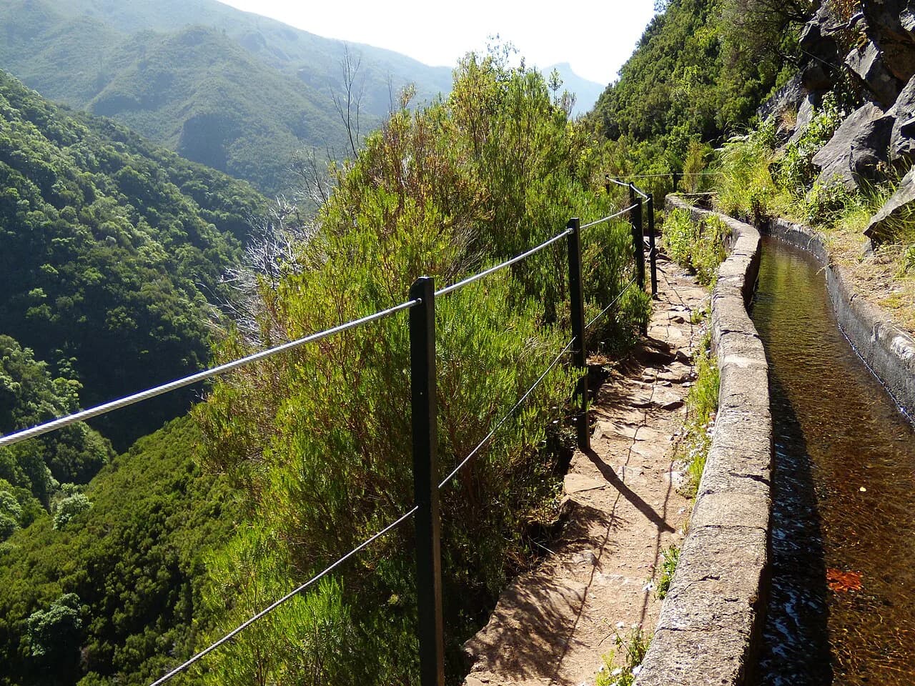
The route follows one of Madeira's levadas, the irrigation channels that carry water across the island's wet northern slopes, into the Laurissilva forest. The payoff is the 25 Fontes itself, a rock wall where many small waterfalls drop into a natural lagoon, often described as an amphitheatre of falling water.
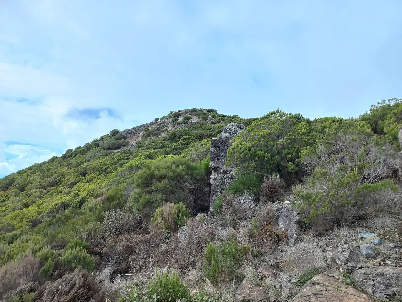
This is not a summit day. The climbing is modest and spread over short flights of steps, and the interest lies in the forest, the channel, the Ribeira da Janela valley views and the two waterfalls. If you want the island's high-mountain drama instead, the ridge traverse between Pico do Arieiro and Pico Ruivo is the contrasting choice, much like the summit routes covered in our guide to hiking in Tenerife.
Trailhead and parking
The walk begins at Rabaçal, off the ER 105 regional road near the Paul da Serra plateau. A car park sits at the top of the access road, and the official start of the levada path lies below it, reached by a paved road down to the Rabaçal Nature Spot Café.
From Funchal the drive takes roughly 40 to 50 minutes up mountain roads, either over the Encumeada pass or along the coast to Calheta and up to Rabaçal. Both approaches are scenic, and arriving early helps secure a space on busy days; parking at the Rabaçal car park is free to enter.
A small shuttle van runs between the car park and the café, taking about ten minutes against roughly half an hour on foot down the paved road. Riders pay a few euros each way, with a slightly cheaper return fare, and the van is reported to operate from 10 AM to 6 PM daily; queues build when the car park fills, so carry cash and allow time.
No bus service to Rabaçal is described in the trail information, so most hikers arrive by rental car or as part of an organised transfer or guided day. If you are relying on a transfer, confirm the pickup point and time with the tour company before you set out.
Distance, ascent and time
Count on about 9 km (6 mi) round trip with roughly 465 m (1,526 ft) of ascent and 3 to 4 hours of walking. Figures vary depending on how much of the paved access road you walk and whether the shuttle is used, so treat 9 km as the walking version and adjust for your own choices.
The highest point on the walk sits around 1,288 m (4,225 ft), which is modest by Madeira standards but enough to put you in cloud and cooler air. It is rated moderate, mainly because of the length and the steps rather than any technical difficulty.
A longer circular variant starts and finishes in Calheta via the Túnel do Cavalo, covering about 8.3 km (5 mi) with around 673 m (2,208 ft) of ascent and taking some 3 hours 15 minutes. That version includes a tunnel, so it needs a headlamp and is a step up in effort from the standard out-and-back.
Route description part 1: the levada and the forest
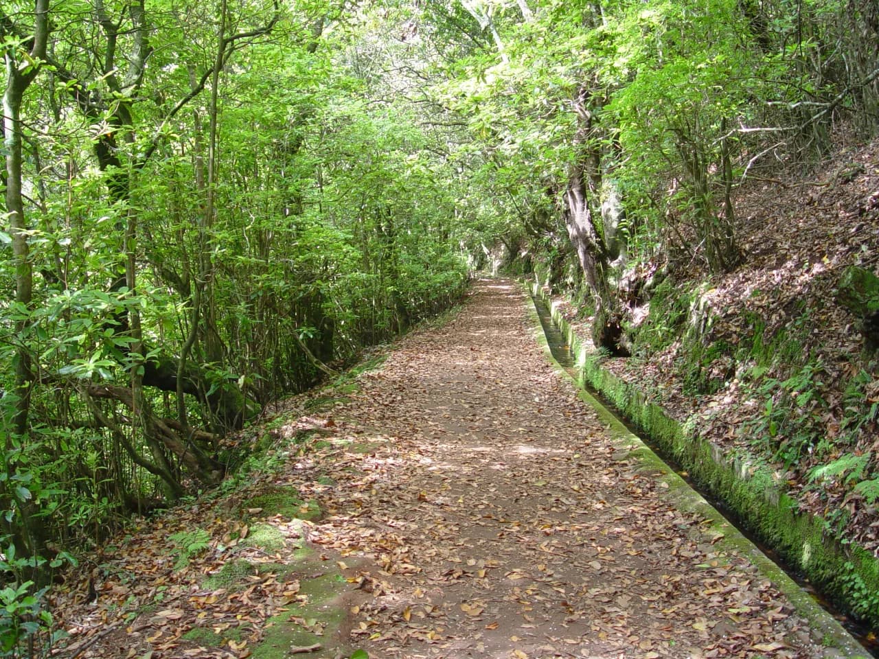
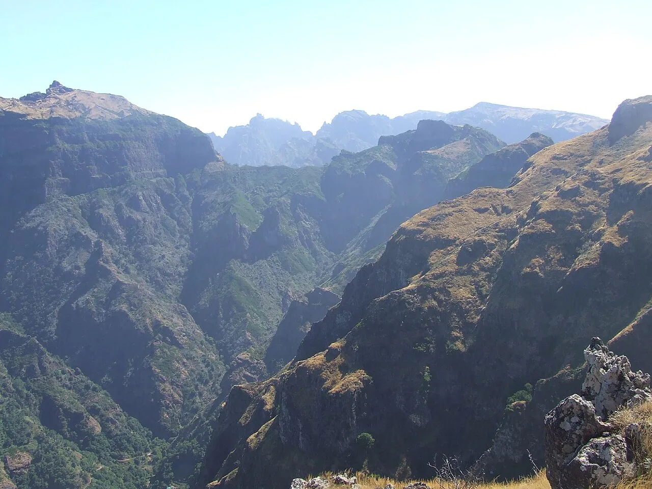
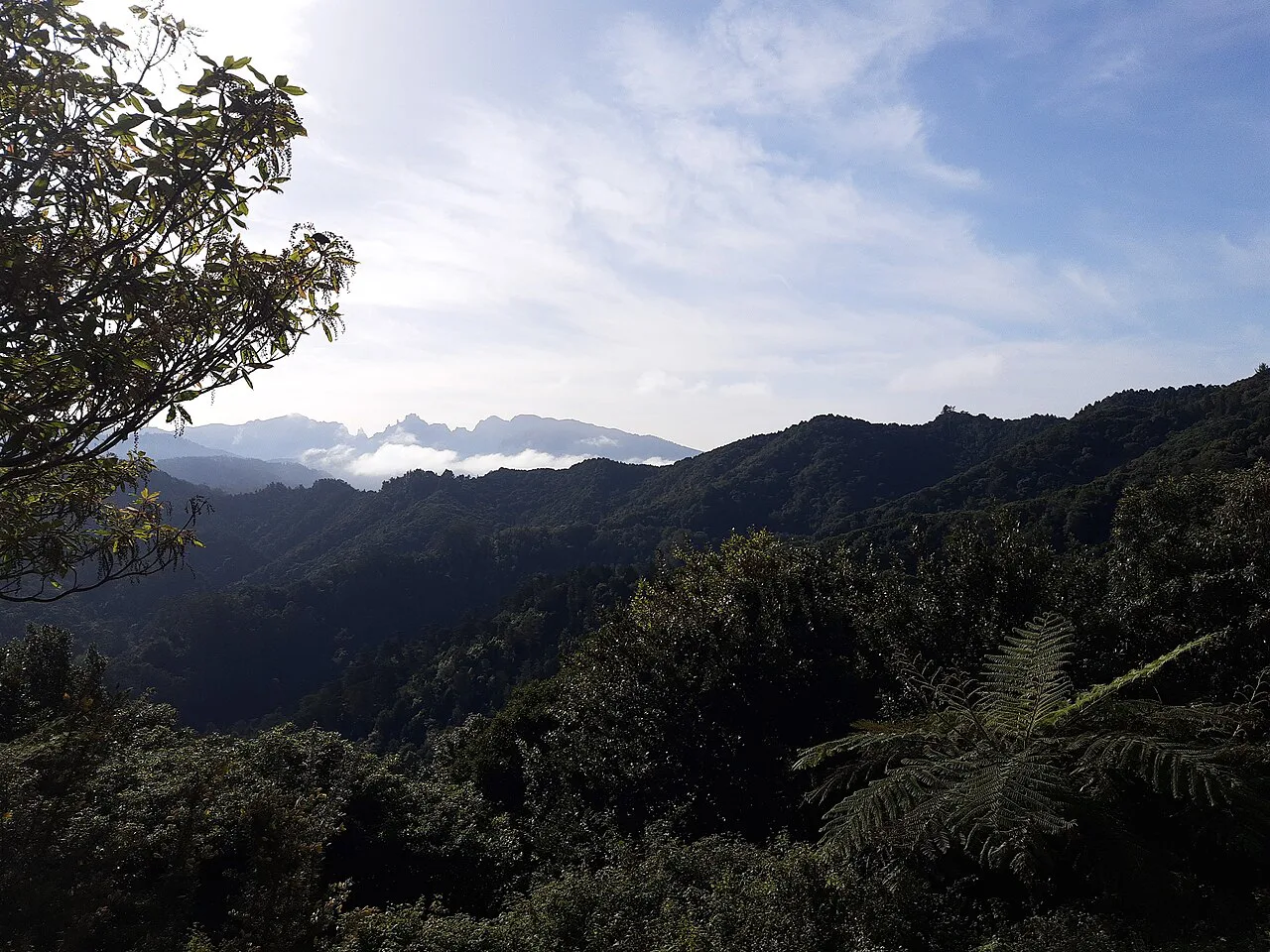
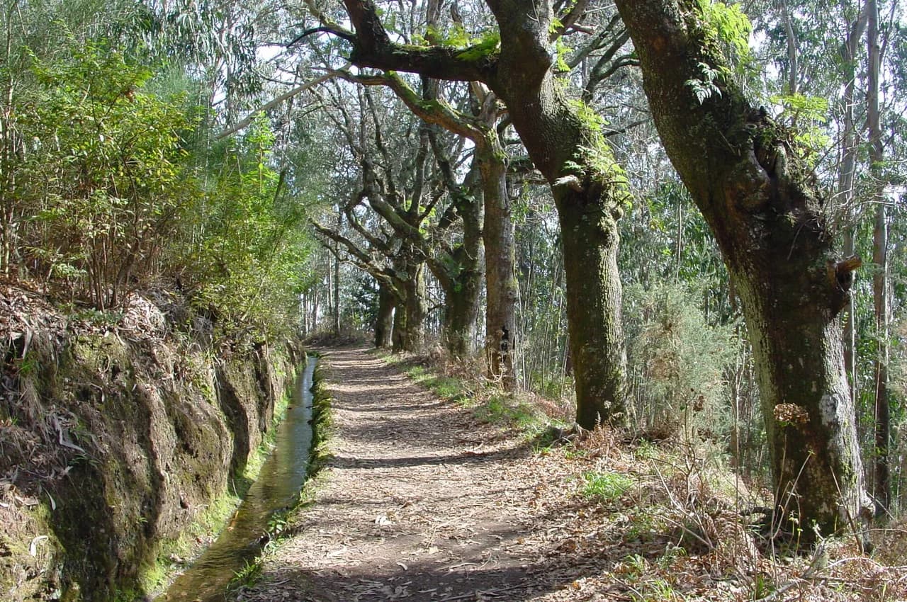
From the café the path enters dense laurel forest and follows the water channel, which runs along one side of the trail. Moss, ferns and native plants cover the banks, and gaps in the trees open views across the Ribeira da Janela valley.
The going is mostly level here, with a few short flights of steps and narrow stretches where the channel runs close to your feet. The path is well marked and built largely of stone steps, so navigation is simple; the care is in the footing, which stays damp in the forest.
The Risco Waterfall detour
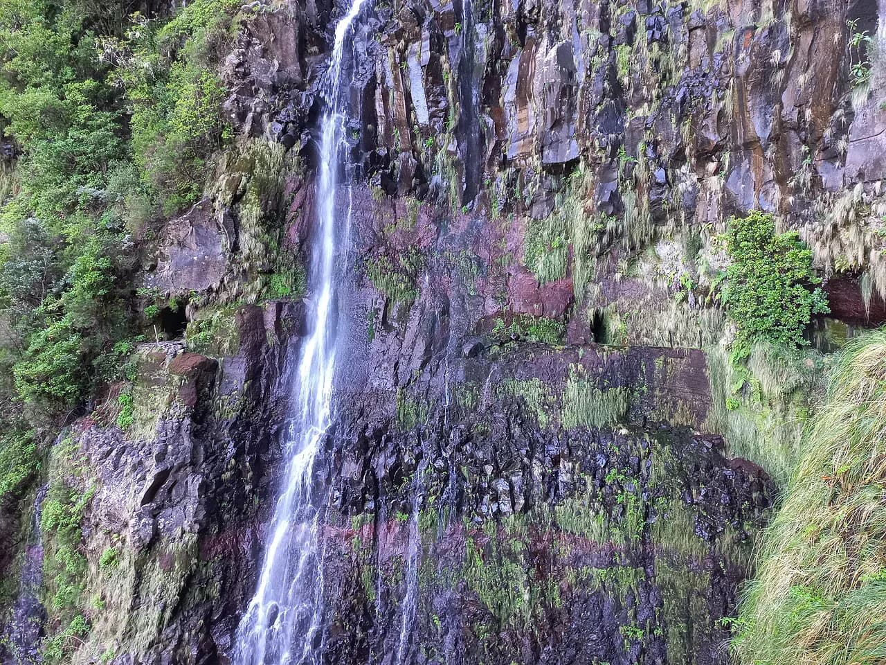
Partway along, a signed branch leads to Risco Waterfall, reached by a detour of about 800 m (0.5 mi) each way. The falls are reported to drop around 100 m (330 ft) in two tiers, and the water is less powerful in high summer but still worth the extra walk.
Return the same way to the junction, then continue on the left-hand path toward 25 Fontes. Adding Risco costs perhaps 30 to 45 minutes depending on pace and how long you linger at the viewing point, which matters if you are working around a shuttle or a transfer pickup.
Route description part 2: the 25 Fontes amphitheatre
Past the junction the trail descends a steep stone staircase through ever-denser forest before opening out at the 25 Fontes. The name comes from the many streams falling from the rock wall into one wide pool, framed by vines and moss.
People do enter the pool, which is very cold even on a warm day, and the site gets busy at both waterfalls. The basin is the natural turnaround point, with a snack break before you climb the steps back to the junction.
The return to Rabaçal
Retrace the levada path back to the café, following signs for Rabaçal. The last leg up the paved road to the car park is the steepest part of the day, and it is where the shuttle earns its keep if you would rather save your legs.
The Nature Spot Café at Rabaçal is a spacious stop for a drink or a snack before the drive down, and the small chapel across the road gives a view over the valley. If you want a longer day, a route on through an 800 m (0.5 mi) tunnel exists, but it requires a headlamp and adds real effort.
Permits, fees and reservations
The most popular PR trails on Madeira now use a timed-entry reservation, booked per person through the SIMplifica platform. Book a 30-minute entrance slot, pay by card or mobile wallet, and keep the QR code on your phone plus a screenshot, since mountain signal is patchy.
Reports put the PR6 permit at about 4.50 euros per hiker, with the system applying from January 1, 2026. Confirm the current fee and slot availability on SIMplifica when you book, because both the price and the list of covered trails can change.
When to go
Spring and autumn are the sweet spot: fewer people, a damp cool forest and strong water in the falls. Late spring brings flowers and fuller cascades, while summer remains walkable but busier and with lighter flow at Risco.
Madeira's north side catches more rain than the rest of the island, so the trail can be wet underfoot in any month and the weather shifts quickly. Early mornings are quieter and give you a buffer before afternoon cloud builds over the plateau.
What to wear and carry
Wear shoes with real grip for wet stone, roots and the metal-edged channel, and bring a waterproof layer whatever the forecast. Pack water, snacks and a warm mid-layer, because temperatures change along the route and the forest stays cool.
Download the GPX track as a backup even though the path is well signed, particularly if you plan the Risco branch or the tunnel variant. Trekking poles help on the stepped descent to the lagoon and on the climb back up.
Hazards on the route
The real risks are slips and trips: the stone is slick beside the water channel and near the falls, and some sections are narrow with the channel immediately alongside. Keep children close on those stretches and take the steps slowly when they are wet.
Low cloud can settle over Rabaçal and reduce views and visibility on the plateau, and the tunnel on the Calheta variant is unlit. A headlamp, a map and a realistic turnaround time cover both situations without fuss.
Practical notes and bases
Mobile signal is often weak in the forest, so do not count on a ride-hailing app to collect you at Rabaçal; arrange your own car or a booked transfer. Funchal works well as a base, with roughly an hour's drive to the trailhead through the mountains.
Calheta and the south coast are the other practical base for this walk, and the island's other levada routes make good pairings if you want a week of channel walks. If you are comparing options, the Levada Walks in Madeira overview sets them side by side.
Plan Your Visit
Book your PR6 slot on SIMplifica before you travel, decide in advance whether the shuttle and the Risco detour are worth it for your group, and start early to beat both the crowds and the afternoon cloud. Treat the walk as a half day with a café stop, not a summit objective, and the 25 Fontes will deliver exactly what it promises.
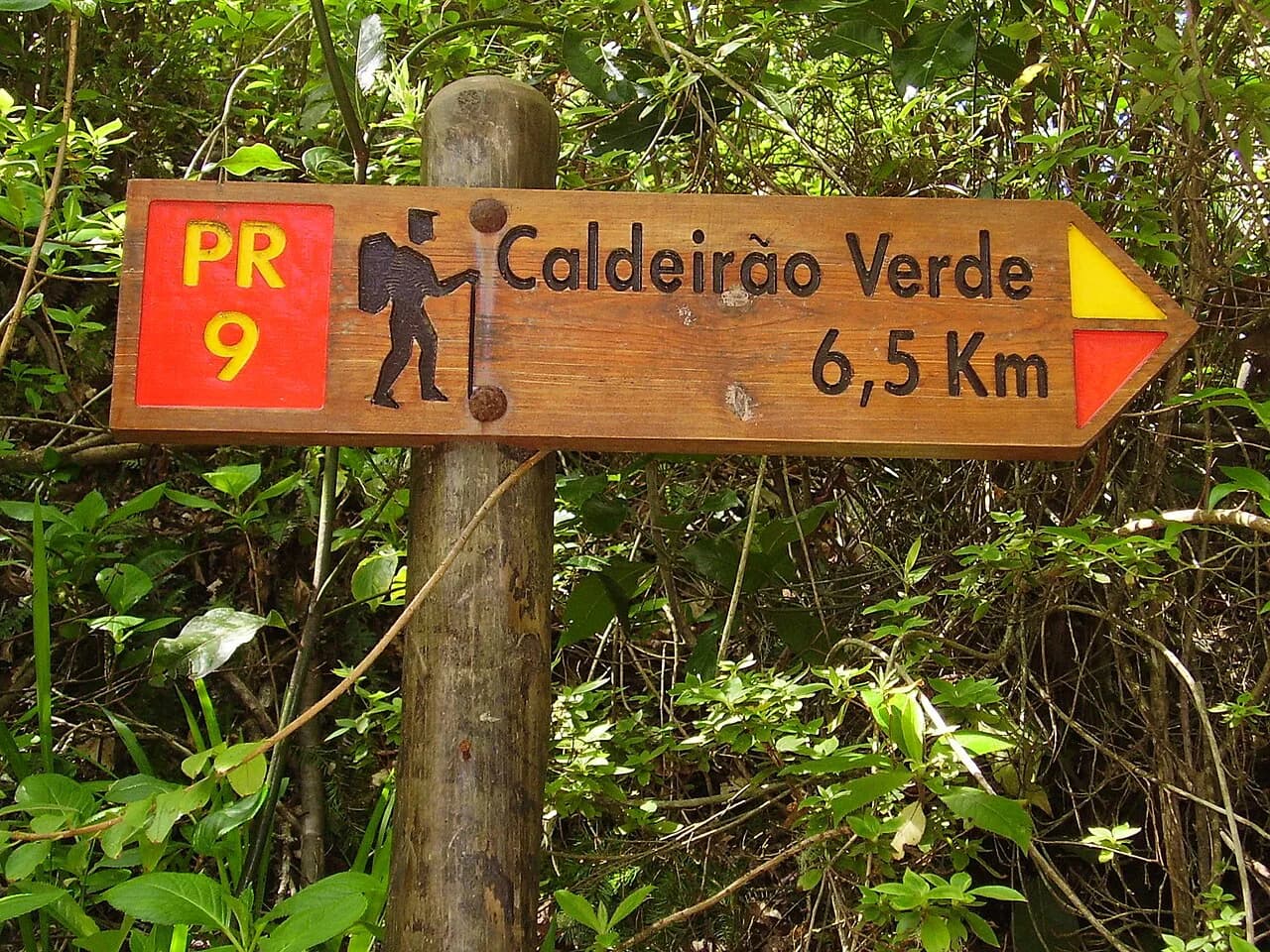
If you want more channel walking after this, the Levada do Caldeirão Verde (PR9) is the natural next step, and the full island guide helps you slot both into a longer trip.
Frequently Asked Questions
Is PR6 worth it in Madeira?
Yes, if you want forest scenery and waterfalls rather than a summit. The levada path through the Laurissilva forest and the amphitheatre of streams at 25 Fontes are the draw, and the walk suits most steady hikers. It is the island's most popular levada, so book a slot and start early to avoid the busiest hours.
How long is the PR 6 hike?
Allow for about 9 km (6 mi) round trip with roughly 465 m (1,526 ft) of ascent and 3 to 4 hours of walking. The total grows if you walk the paved access road instead of taking the shuttle, and the optional Risco Waterfall branch adds about 800 m (0.5 mi) each way.
How hard is PR6?
It is a moderate walk. The channel path is largely level, but there are flights of stone steps, a steep stepped descent to the lagoon and the climb back, and the stone stays wet underfoot. Good grip matters more than fitness.
Where does the PR6 hike start?
The walk starts at Rabaçal off the ER 105, near the Paul da Serra plateau. You park at the Rabaçal car park and walk or ride the shuttle down the paved road to the Nature Spot Café, where the official levada path begins.
Do you need a reservation for Levada das 25 Fontes?
Yes. Book a timed entry slot and pay the permit per person through the SIMplifica platform before you go, and keep your QR code saved on your phone as well as a screenshot.
Can you swim at 25 Fontes?
Hikers do enter the lagoon at the base of the falls, though the water is very cold even in summer. The site gets crowded, and you still have the stepped climb back to the junction, so decide based on conditions and time rather than planning the day around a swim.
Sources
Trail notes for your next trip
Optional updates when we add or revise hiking guides.
You might also like
Continue reading
More guides you'll find useful