Rysy Hike: Poland's Highest Peak from Zakopane or Slovakia
Plan the Rysy hike in the Tatra Mountains: Polish and Slovak trailheads, distance, ascent, walking time, exposure, huts and the best months to climb.
On this page
The Rysy hike is the classic High Tatras summit day: a long valley approach, a glacial lake basin, then a steep rocky block to a 2,501 m (8,205 ft) summit that sits exactly on the Polish-Slovak border. It suits fit hikers with previous mountain walking behind them, not first-timers testing boots on a big peak.
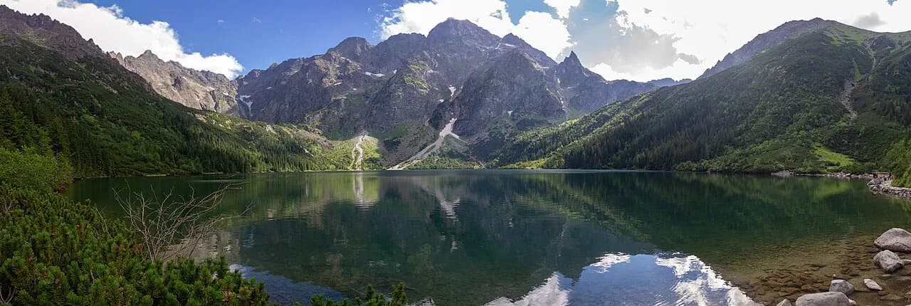
You have two real choices. The Polish route from Zakopane is longer and flatter at the start, walking a paved valley road and passing Morskie Oko before the serious climbing begins. The Slovak route from Štrbské Pleso starts higher and shorter but still finishes on the same exposed summit block.
What the Rysy Hike Involves and Who It Suits
Rysy is a full mountain day rather than a half-day walk, and its difficulty comes in layers. The walk-in is long but technically easy, so many hikers feel fresh at the lakes and then meet the real trail above Czarny Staw, where the path turns steep, rocky and in places fixed with chains.
A guided hut-to-hut week in the Polish Tatras gives a sense of the fitness this summit asks for: groups spend up to ten or eleven hours on the Rysy day, with roughly 5,495 ft (1,675 m) of ascent and 4,774 ft (1,455 m) of descent, and an extra guide added for the summit because of the exposed scrambling.
Treat that as a benchmark, not a target. If a ten-hour day with sustained climbing sounds like a stretch, the wiser plan is a lake-level day to Morskie Oko or a lower summit, and you can work through the options in this guide to hiking in tatra mountains before committing to Rysy.
Where Rysy Sits on the Polish-Slovak Border
Rysy has three summits: the middle one at 2,501 m (8,205 ft) is the highest point in Poland, the north-western summit reaches 2,500 m (8,202 ft) and the south-eastern one 2,473 m (8,114 ft). The border runs across the massif, which is why the Polish and Slovak approaches meet at the top.
That geography shapes the day. From the Polish side you finish by crossing the border at the summit, while from Slovakia the same summit is reached without any road crossing at the start, so think about which valley you want to descend into at the end of a long day.
Distance, Ascent and Walking Time by Route
The Polish approach from the Zakopane side runs through the Morskie Oko valley and up past Czarny Staw. The Slovak approach from Štrbské Pleso climbs via Popradské pleso toward the summit from the south, and the two should be judged as separate days rather than averaged into one figure.
Expect a long day either way: the Rysy summit stage in a guided Tatra itinerary is listed at about 12 mi (19 km) with roughly ten to eleven hours of walking, which reflects the full round trip including the valley approach rather than the summit block alone.
For comparison, the demanding Orla Perć ridge traverse nearby covers 4.3 km (2.7 mi) between Zawrat and Krzyżne with 607 m (1,991 ft) of ascent and takes six to seven hours, which shows how slowly High Tatras terrain moves underfoot.
Route from Zakopane via Palenica Białczańska and Morskie Oko
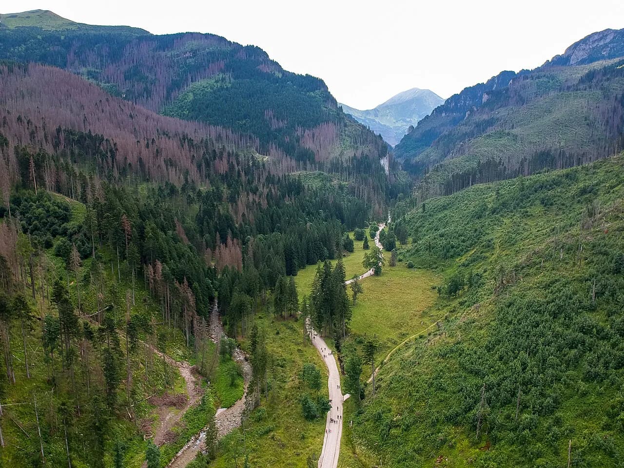
From Zakopane you reach the Palenica Białczańska trailhead at the end of the road into the Rybi Potok valley, usually by bus or car. From there the route opens with a long, gently graded valley road to Morskie Oko, which is the section that decides whether you reach the summit block with energy left.
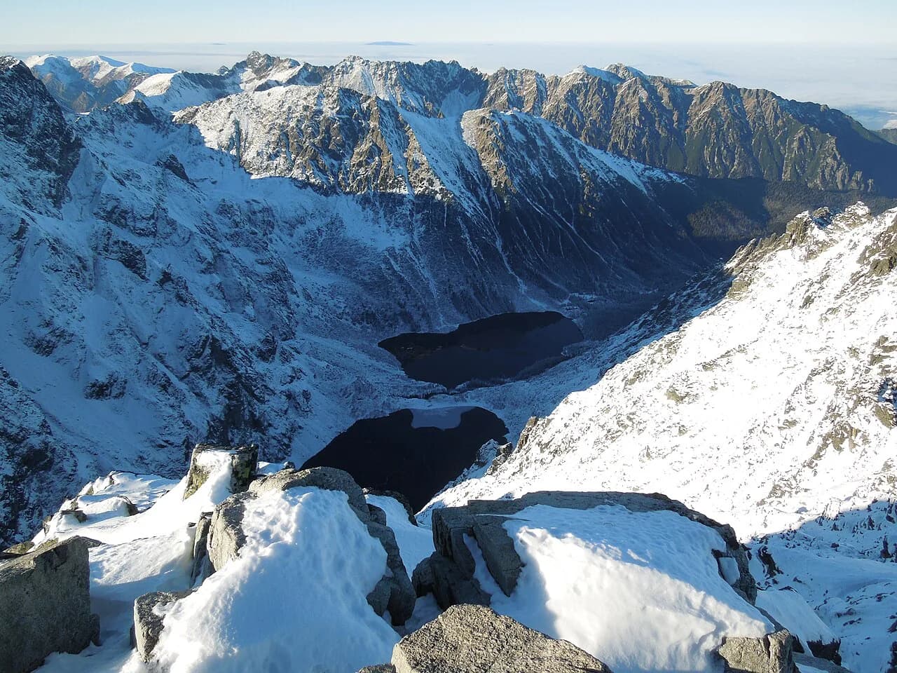
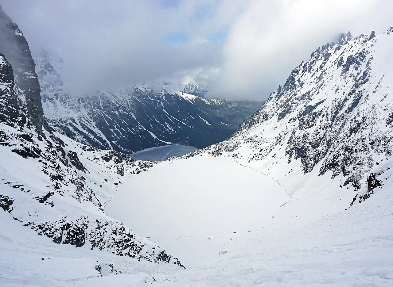
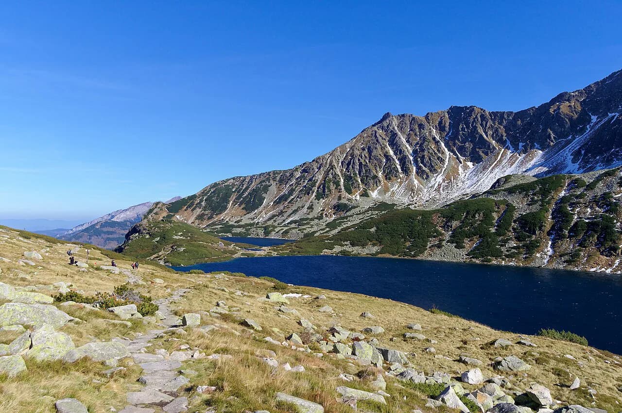
Above the lake the path passes Czarny Staw, a dark glacial tarn under the summit wall, and this is the natural place to reassess. The stretch from here to the top is the steep, rocky part of the day, and turning around at the lake still gives you a fine mountain outing.
The Final Climb from Czarny Staw to the Summit
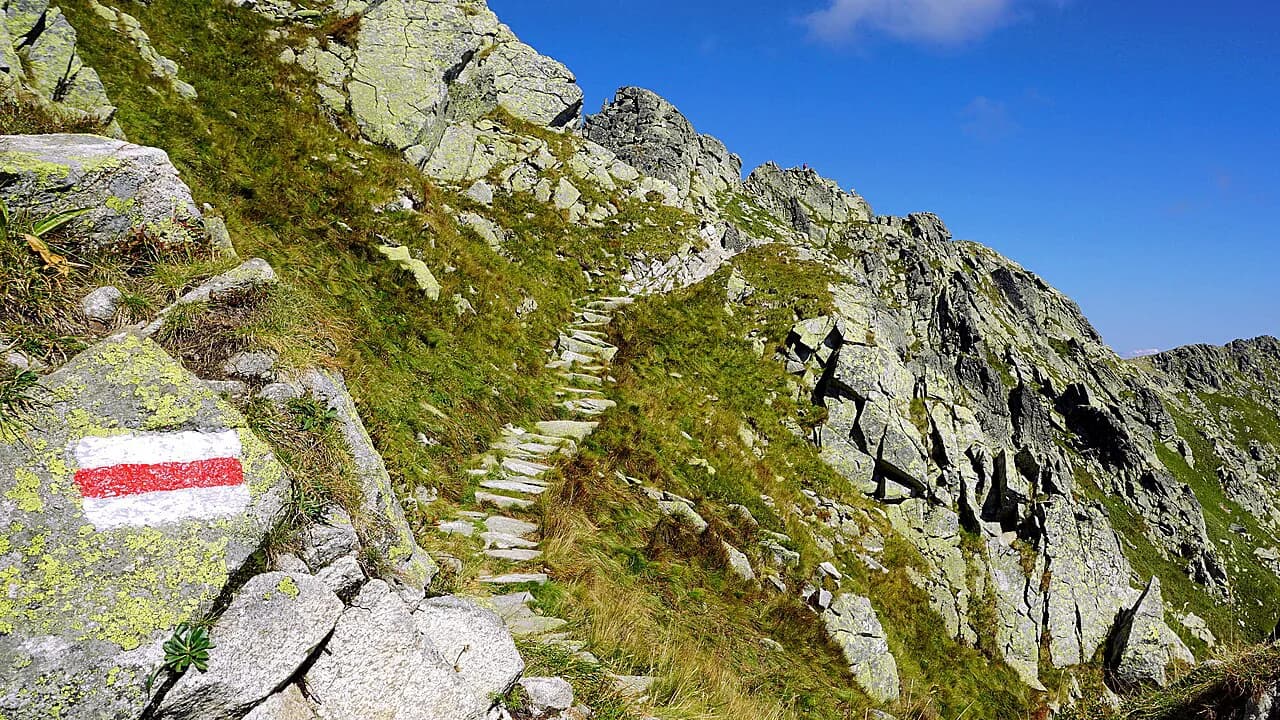
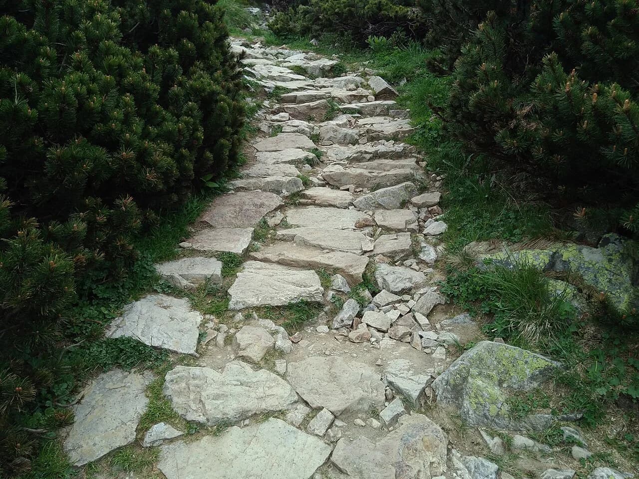
The summit block is where Rysy changes character. The trail becomes a sustained rocky climb with some scrambling, and in the guided format the more technical passages are protected by handrail chains fixed to the rock, which tells you to expect hands-on ground rather than a walk.
Exposure matters here. Much of this upper section runs on open ground with drops to one side, and the route spends time above 2,000 m (6,500 ft), which makes the day feel harder than the distance suggests. A steady head for heights and dry rock are the two conditions to insist on.
Route from the Slovak Side via Štrbské Pleso and Popradské pleso
The Slovak approach begins around Štrbské Pleso, one of the main resort villages on the southern side of the range, and climbs through forest to Popradské pleso before gaining the higher rocky ground. It cuts out the long flat valley road of the Polish side, so you spend more of the day on climbing.
Hikers who have done the Slovak route describe the summit day itself as not technically extreme but heavily weather-dependent, with rain, wind and storm turning it into a serious outing. That matches the terrain: the difficulty is in the exposure and the conditions, not in any single move.
Slovak trail names reward a little vocabulary: štít means peak, pleso means lake, dolina means valley and chata means mountain lodge, which makes route signs and maps far easier to read on the ground.
Trailheads and How to Reach Them
For the Polish side, Zakopane is the base, and buses run from town to the Palenica Białczańska area at the valley entrance; the drive from Kraków to Zakopane takes roughly two hours, so many hikers arrive the evening before.
On the Slovak side, Poprad is the transport hub, with trains from Bratislava, Košice, Prague and Budapest, and onward trains or buses to Tatranská Lomnica, Starý Smokovec and Štrbské Pleso. The mountain towns are also linked by a local bus network once you are in the range.
A car gives the most flexibility for early starts, with Zakopane about 1 hour 15 minutes from the Slovak side of the range and Kraków about 2 hours 45 minutes away. If you rely on buses, plan the day around the first departure rather than the last.
Parking and Park Entry at Palenica Białczańska
Palenica Białczańska is the main road-end parking area for the Morskie Oko valley, and it fills early in summer; reserving a space online in advance is the practical move, and it saves the walk from the lower roadside parking at Łysa Polana.
Parking at Łysa Polana is paid, payable in cash or by card, so budget for it. Entry to Tatra National Park is a separate cost, and the guided Tatra itinerary includes the park entry fee in its package rather than quoting it separately.
Huts and Water on the Route
Polish mountain huts give the Rysy valley its shape. They run dormitory rooms with bunk beds, shared showers and cooked meals, provide bed linen, and usually take card for extras while advising hikers to carry cash in case of network problems.
On the Polish approach, the shelters near Morskie Oko and the Roztoka hut in the adjacent valley are the practical refuges, and the Valley of the Five Lakes hut serves the routes that swing east of Rysy. Plan on carrying your own water for the summit block, where there is nothing to fill from.
If you want a hut-based day without the summit, Dolina Kościeliska offers a lower, greener alternative in the Western Tatras with its own chain of shelters. Book bunks directly with the hut or the Polish alpine club rather than assuming a walk-in bed in July.
Exposure, Chains and Scrambling Near the Top
Rysy is not a via ferrata. The chains on the upper section are short protections on a rocky scramble rather than a continuous cable to clip into, so you need your own balance, boots with grip, and the ability to move confidently on steep steps with a drop nearby.
Compare that with the Orla Perć ridge, where chains, ladders and metal rungs protect long exposed traverses and the section from Zawrat to Kozi Wierch is one-way, so you cannot reverse once committed. Rysy is a single objective with an obvious turnaround at the lakes; the ridge is a route choice with far less escape.
On wet or icy rock the chains become a liability rather than a help, and the safest response is to leave the summit for a drier day. Carry a helmet if you climb in busy periods, when loose rock moves under other parties above you.
Weather, Snow and Afternoon Storms
The High Tatras make their own weather, and the Rysy summit catches it first. Sunshine can give way to fog, hail and sudden storms within an hour on the upper mountain, and storms are the serious hazard on exposed ground like this.
Start early enough to be off the summit block by early afternoon, and set a hard turnaround time at Czarny Staw or Popradské pleso rather than at the top. Snow can linger on the upper section into early summer and return in autumn, so check the forecast and recent trail reports before you set out.
When to Go: Months and Trail Season
The most reliable window for Rysy is roughly mid-June to late September, when the high trails are clear and the days are long. The main hiking season in the High Tatras opens around mid-June and runs to about mid-October, with the exact dates shifting with snow each year.
July and August bring the warmest, stablest weather but also the crowds on the Morskie Oko road and the summit. Late June and early September are the better compromise: fewer people, cooler air, and daylight still long enough for a ten-hour day.
Summer highs on high Tatra trails hover around 15 to 20 °C (59 to 68 °F), which is cool enough to keep moving but cold on a stopped summit. By late September daylight drops to about eleven hours, so an early start stops being optional.
What to Carry and Pack Weight
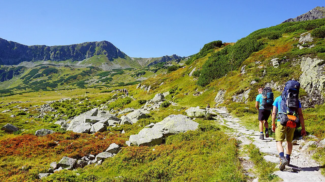
Pack for a full day out with changes of weather: waterproofs, warm layers, gloves, a headlamp, a charged phone and food for the summit block, where there is nothing to buy. On a hut-based trip your overnight kit goes with you because luggage is not transferred between huts, and a 40-liter pack is enough if you keep the weight down.
Water is the item most people underestimate. On comparable exposed Tatra terrain, carrying four to five liters is the advised baseline because there are no reliable sources high up, and that holds for Rysy above the lakes.
Boots with ankle support and real grip matter more than any other kit choice on this route, and trekking poles help on the long descent when your legs are tired. Leave the summit bag at the hut on summit day if you are staying nearby, which keeps the climb light.
Fitness and Preparation
Rysy rewards hill fitness built over weeks, not enthusiasm on the morning. Back-to-back walking days with sustained ascent, some of them carrying a loaded pack, are the most specific preparation for a ten-hour mountain day with a rocky finish.
Guided Tatra trips at this level assume previous hiking experience and grade the Rysy day as the hardest of the week because of its length and the exposed scrambling. If you have never walked a full day on rocky ground, build that first on lower Polish Tatras routes.
Camping, Fires and Park Rules
Tatra National Park prohibits wild camping, campfires, littering, bathing in the glacial lakes, picking plants and flowers, feeding animals and hiking off marked trails. The rules apply on the Rysy route too, so plan your day to finish at a hut or in town rather than bivouacking near the summit.
Stay on the marked trail through the summit block even where the ground looks open; shortcutting damages fragile alpine vegetation and puts you on unprotectable rock. If you want a longer stay in the range, base yourself in a hut or a valley town instead of carrying a tent.
Where to Base Yourself: Zakopane and the Slovak Valleys
Zakopane is the natural base for the Polish route, with buses to Palenica Białczańska, gear shops and hut access on foot from the edge of town. For the Slovak side, Štrbské Pleso puts you on the trail almost from the door, while Tatranská Lomnica gives you restaurants, hotels and cable cars up to Skalnaté pleso and Lomnický štít.
Poprad is the practical third option: less scenic than the mountain villages but with the widest choice of hotels and the main rail and air links. Two nights is the minimum to attempt Rysy with a weather buffer, and three lets you add a lake day or a second summit.
Rysy Versus Other High Tatras Summit Hikes
Gerlachovský štít, the highest peak in the range at 2,655 m (8,700 ft), can only be climbed with a certified mountain guide, so it is a different commitment from Rysy. Lomnický štít at 2,633 m (8,639 ft) can be reached by cable car, but book tickets two to three days ahead because the final car carries only 45 people per hour and often sells out.
For hikers who want exposure without the Rysy summit day, the Orla Perć ridge is the harder and more committing choice, with chains, ladders and very few exits. For a gentler high day, Velká Svištovka and Zelené pleso combine a cable car with a ridge walk and a lake lunch. If you would rather plan a whole trip around the range, this hiking in High Tatras guide sets out the other trails, huts and lift access.
If your target is simply a long, satisfying Polish Tatras day with big views and a hut at the end, the Five Lakes Valley delivers most of the scenery at a fraction of the summit commitment. Use it as a training day before you take on Rysy.
Plan Your Rysy Summit Day
Decide the route first: the Polish approach from Zakopane is longer and flatter but gives you Morskie Oko and Czarny Staw as milestones, while the Slovak approach from Štrbské Pleso cuts the valley walk and starts higher. Either way, treat the block above the lakes as a separate climb and be ready to turn around there.
Book hut beds and parking ahead, start at first light, and keep a spare day for weather. Then go up with dry conditions, a light pack and the fitness for a ten-hour day.
Frequently Asked Questions
Is the Rysy hike in Poland or Slovakia?
Both. Rysy sits on the border, with the middle summit at 2,501 m (8,205 ft) as Poland's highest point. You can climb it from the Polish side via Zakopane and Morskie Oko, or from the Slovak side above Štrbské Pleso, and the routes meet at the top.
How long does it take to hike Rysy?
Plan a full day of walking. A guided Tatra itinerary lists the Rysy summit stage at roughly ten to eleven hours with about 12 mi (19 km) covered, and that reflects a long valley approach plus the summit block. Individual pace, queues at the chains and weather all shift the total.
How hard is the Rysy hike?
It is a demanding mountain day rather than a technical climb. The valley approach is long but easy, and the difficulty concentrates in the steep rocky finish above Czarny Staw, where short chains protect scrambling on exposed ground. Fitness for sustained ascent and a head for heights are the two essentials.
Can you hike Rysy without a guide?
Yes, the route is waymarked and many hikers go independently; guided groups add an extra guide on summit day because of the exposed scrambling. If you lack experience on rocky, exposed terrain or in fast-changing mountain weather, going with a guide or on a hut-based trip is the safer choice.
Where does the Rysy hike start?
On the Polish side it starts from Palenica Białczańska at the end of the Morskie Oko valley road, reached by bus or car from Zakopane. On the Slovak side the approach begins around Štrbské Pleso, with Poprad as the main rail hub for the mountain towns.
Do you need a permit for Rysy?
There is no summit permit described for Rysy, but Tatra National Park charges entry and the guided Tatra itineraries include the park entry fee. Parking at the valley trailheads is a separate cost, and you can reserve online in advance to avoid the roadside walk.
When is the best time to hike Rysy?
Aim for mid-June to late September, when the high trails are usually clear and days are long. July and August are warmest but busiest, while late June and early September offer fewer people and reliable conditions. Snow can linger into early summer and return in autumn.
Sources
- Hut-to-Hut Trekking in Poland's Tatra Mountains | Much Better Adventures
- Orla Perć: Poland’s Most Challenging Ridge Hike in Tatras
- Orla Perć Hike Guide (Poland, 2026)
- Hiking the High Tatras of Slovakia: How to Plan Your Visit
- Rysy
- Hike to Rysy from Štrebske pleso, High Tatras, Slovakia/ ...
- Climbing Rysy - The Highest Mountain In Poland
Trail notes for your next trip
Optional updates when we add or revise hiking guides.
You might also like
Continue reading
More guides you'll find useful