Sassolungo Circuit, Val Gardena: Route, Lifts and Difficulty
The Sassolungo circuit is a 17.4 km loop in Val Gardena with 705 m of ascent and roughly six hours of walking, started by chairlift or cable car.
On this page
The Sassolungo circuit is the classic way to walk around Val Gardena's landmark massif, trading the summit for a full 360-degree lap of meadows, scree and Dolomite walls. It suits hikers with a full day, a head for exposed ground and the fitness for roughly six hours on foot.
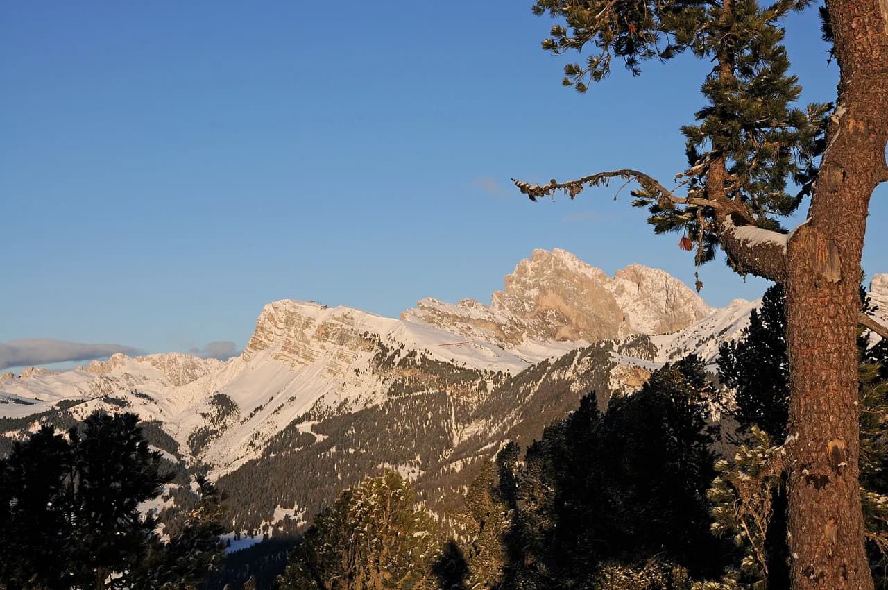
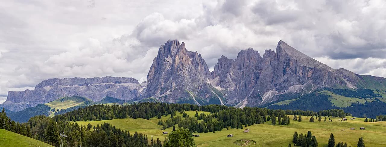
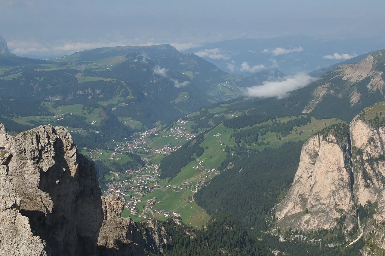
The Sassolungo itself, at 3,181 m (10,436 ft), is a climber's peak, and the circuit stays at trail level around its base. What you get instead is the Stone City boulder field, the busy saddle at Passo Sella and long views across to the Seiser Alm plateau.
Where the circuit runs
The loop wraps the whole Sassolungo Group, the massif that includes Sasso Piatto (Plattkofel), Punta Grohmann, the Cinque Dita and the Dente del Sassolungo as well as the main summit. The group sits between Val Gardena and the upper Val di Fassa, so the circuit links the S. Cristina side with Passo Sella and the pastures below the Plattkofel.
Monte Pana, the alp directly beneath the massif, is the natural gateway from S. Cristina. From there a chairlift climbs toward Mont de Sëura above 2,000 m (6,562 ft), putting you on the high ground below the walls before you have walked a step.
Two trailheads: Monte Pana and Ciampinoi
The official route offers two lift-assisted starts. From S. Cristina you ride the Monte Pana chairlift and then the Mont de Sëura chairlift, beginning the walk at the Mont de Sëura top station at 2,117 m (6,946 ft) and heading for the Comici Hut. From Selva you take the Ciampinoi cable car to 2,254 m (7,395 ft) and join the same hut approach by a different path.
The choice is a real trade-off. The S. Cristina start puts you on the meadows of Monte Pana with the massif filling the view, while Ciampinoi gives a higher, more panoramic entry and suits anyone based in Selva. Either way the lifts are a convenience, not a requirement, and they run only in their operating season, so ask the lift operator for this year's dates before you build the day around them.
Getting to the trailhead
By public transport, take the bus to the S. Cristina Municipio/Rathaus stop and walk or ride the Monte Pana chairlift from the village center. On foot, trail no. 30 climbs from S. Cristina to Monte Pana in about 45 minutes; by car, the Monte Pana P1 and P2 car parks at the plateau are chargeable, while the car park at the lift's valley station is free.
From Selva, the Ciampinoi cable car starts the walk higher still. Ask the lift company for the last descent time when you buy your ticket, because a missed final ride turns a six-hour day into a much longer one.
Distance, ascent and time
The full circuit measures 17.4 km (10.8 miles) with 705 m (2,313 ft) of ascent and the same descent, rated difficult and taking about 6:00 hours of walking. The high point is 2,361 m (7,746 ft) and the low point 1,951 m (6,401 ft), so most of the day sits above 1,900 m and the altitude is felt on the climbs.
Budget more than six hours if you stop at huts, photograph the Stone City or wait at the Passo Sella road crossing. The route is mostly path, with dirt road and forest trail making up the rest, so sturdy hiking boots matter more than technical gear.
Route description: Mont de Sëura and Ciampinoi to the Comici Hut
From the Mont de Sëura top station the route follows trails 526B, 528 and 526 toward the Comici Hut. From Ciampinoi the approach uses 21, 21A and 526, converging on the same hut. This first stretch is where the massif looms largest, with the walls of Sassolungo rising straight above the path.
The Comici Hut is your first natural pause and the point where the day's shape becomes clear: you are walking around the base, not up it. Keep an eye on the clock here, because the Stone City and Passo Sella still lie ahead before the return leg.
The Stone City and Passo Sella
Beyond the Comici Hut the route enters the Stone City, the Città dei Sassi, a field of boulders created by a rockfall at the foot of the Sassolungo. Trail 526 threads through it to Passo Sella, and the blocks are large enough to climb on and photograph, so allow time.
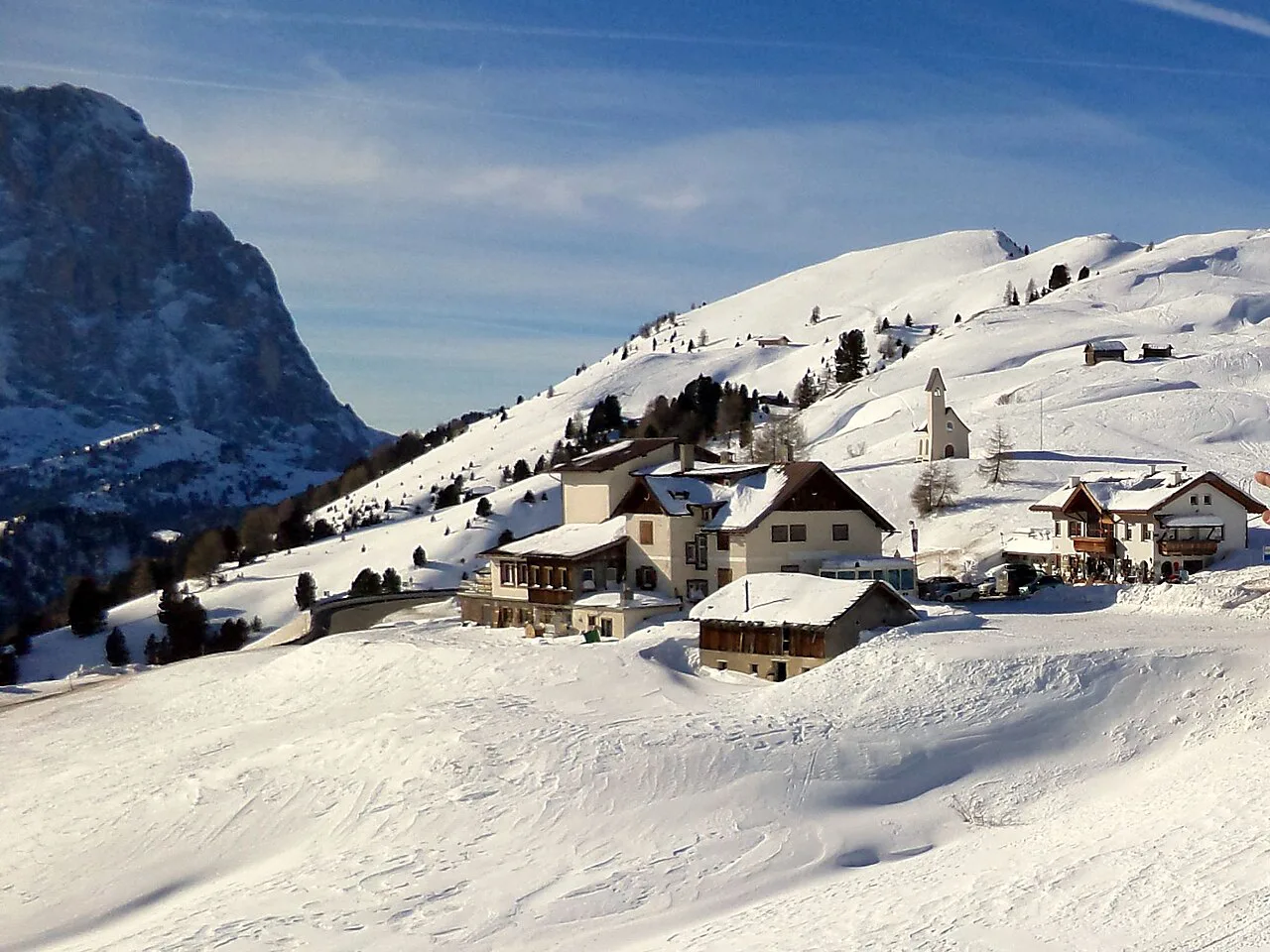
At Passo Sella you cross a road pass with its own huts and traffic, then pick up the Friedrich August path, trail 557, toward the Plattkofel Hut. This is the section where the view opens over the Seiser Alm, the broad high pasture east of the massif.
Passing the Friedrich August Hut and the Sandro Pertini Hut, you climb steadily to the Plattkofel Hut. The boulder landscape and open pasture mean little shade on a hot afternoon, and storms build quickly over the group, so an early start pays off.
From the Plattkofel Hut the return path runs directly below the Sassolungo, using 527, 526 and 526B back to Mont de Sëura or 527, 526, 21A and 21 back to Ciampinoi. Walking clockwise this way keeps the biggest walls in front of you for most of the descent to the lifts.
Short versions: out-and-back from Mont de Sëura
You do not need the whole circuit to spend hours beneath the massif. A shorter out-and-back from Mont de Sëura toward the Comici Hut and back covers the finest close-up views of the walls with far less commitment than the full loop.
Walkers who want a gentler day can stay on the Monte Pana plateau, where meadows and forest give a foreground to the towers without a long climb. Mont de Sëura, above the plateau and under the walls, is the spot for photographers chasing morning light or the evening enrosadira glow.
Huts and water on the circuit
Four huts break the circuit: the Comici Hut after the first climb, the Friedrich August Hut and the Sandro Pertini Hut near the Friedrich August path, and the Plattkofel Hut on the far side. Each gives a chance to refill, eat and reassess the weather before the next stretch.
Hut opening periods follow the summer walking season, and several shut outside it, so a late-autumn attempt may mean carrying all your food and water. The official route notes no particular safety risks beyond early-season snow on some sections, but a full day above 1,900 m still demands a proper rucksack with drink, snack and sun protection.
When to go
Summer and early autumn are the prime months, with green pastures in July and August and lower, quieter light later in the season. Snow can linger on some sections even at the start of summer, so early-July walkers should ask about conditions in Val Gardena before setting out.
Autumn brings changing forest colors and a calmer atmosphere on Monte Pana, while spring leaves snow on the higher peaks even as the plateau greens up. If you are hiking in the Dolomites outside the main window, plan the circuit as a lower, shorter day and treat the high passes with caution.
Difficulty and hazards
The circuit is rated difficult, and while there is no technical climbing, it asks for sure-footedness on rocky paths and a steady head where the trail crosses scree and boulder ground. The Stone City in particular involves scrambling over and between blocks, which slows progress.
Afternoon storms are the real hazard on an exposed six-hour loop, so start early and be ready to turn back at the Comici Hut if the cloud builds. Snow on the passes early and late in the season turns straightforward paths into slippery traverses.
What to wear and carry
Pack hiking boots with a firm sole for the boulder sections, a windbreaker for the exposed saddles, and sun protection for the open pasture. Carry at least a liter and a half of water per person, more on hot days, since hut stops are spaced across the loop.
Add a map or offline route on your phone, a small first-aid kit and a headlamp in case the day runs long. Cash helps at the huts, and a light layer earns its place once you stop moving at the Plattkofel Hut.
Where to base yourself
S. Cristina puts you closest to the Monte Pana lifts and the bus stop, making it the simplest base for the official route. Selva suits anyone who prefers the Ciampinoi cable car and a higher start, while Passo Sella is the choice if the Stone City is your priority and you want to begin at the road pass. For comparison, our guide to hiking in Cortina d'Ampezzo weighs similar base-town trade-offs against lift access.
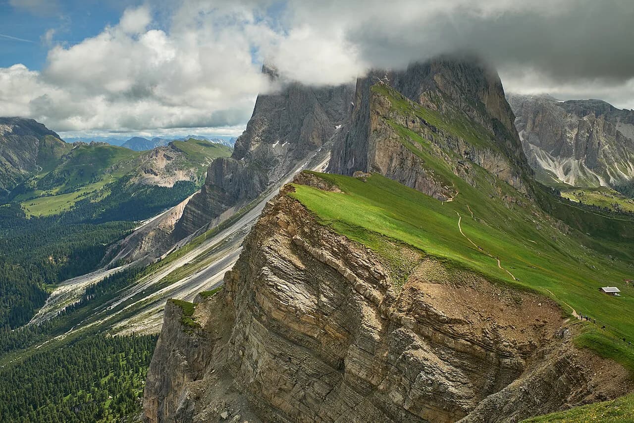
If you want a second big day in the valley, the Seceda Hike, Val Gardena's other signature ridge walk, pairs well with a Sassolungo day. Staying in Santa Cristina between the two keeps both trailheads within easy reach.
A shorter, harder variant from the bus stop
A separate 11.1 km (6.9 miles) version of the loop with 790 m (2,592 ft) of ascent runs in about 5:20 hours and starts at a bus stop rather than a lift. It is rated hard and includes a segment of technical, difficult or hazardous terrain, so it is not simply a shorter version of the lift-based day.
Plan Your Visit
Choose the Sassolungo circuit if you have a full day, firm boots and the fitness for six hours on rocky ground above 1,900 m. Choose a Mont de Sëura out-and-back if you want the walls up close without committing to the full loop.
Start early, ride the lift that matches your base and keep the Comici Hut as your decision point for weather. One call to the Val Gardena tourist office settles lift dates and trail conditions before you set the alarm.
Frequently Asked Questions
How long does the Sassolungo circuit take?
The full loop covers 17.4 km (10.8 miles) with 705 m (2,313 ft) of ascent and descent and is timed at about six hours of walking. Add time for hut stops, photographs in the Stone City and the road crossing at Passo Sella, which easily pushes a relaxed day past seven hours.
How difficult is the Sassolungo circuit?
It is rated difficult because of its length and the rough, rocky ground rather than any climbing. You need sure-footedness through the Stone City boulder field and a steady head on exposed stretches, but the route stays at trail level around the base of the massif throughout.
Where does the Sassolungo circuit start?
Most hikers start at the Mont de Sëura top station above S. Cristina, reached by two chairlifts from the village, or at the Ciampinoi cable car above Selva. Both entries converge on the Comici Hut before the route continues through the Stone City to Passo Sella and the Plattkofel Hut.
Can you hike the Sassolungo circuit without the lifts?
Yes. Trail no. 30 climbs from S. Cristina to Monte Pana in about 45 minutes with roughly 200 m of elevation, and you can walk up from Selva to Ciampinoi on foot paths as well. Doing so adds height gain and time to an already long day, so start earlier and carry more water.
Which huts are on the Sassolungo circuit?
The Comici Hut comes first after the climb from either lift, then the Friedrich August Hut and the Sandro Pertini Hut near the Friedrich August path, and the Plattkofel Hut on the far side below the Sasso Piatto. These are the natural places to eat, refill and judge the weather before the return leg.
What is the best time of year for the Sassolungo circuit?
Mid-summer through early autumn gives the most reliable conditions, with green pasture in July and August and quieter, lower light later on. Snow can remain on some sections at the start of summer, so ask the Val Gardena tourist office about trail conditions before an early-season attempt.
Sources
Trail notes for your next trip
Optional updates when we add or revise hiking guides.
You might also like
Continue reading
More guides you'll find useful