Ortisei Hikes: Which Val Gardena Trails to Choose
Ortisei hikes reach Seceda, Alpe di Siusi and the Adolf Munkel Trail by cable car and car, with distances, ascent, timing and trailhead access.
On this page
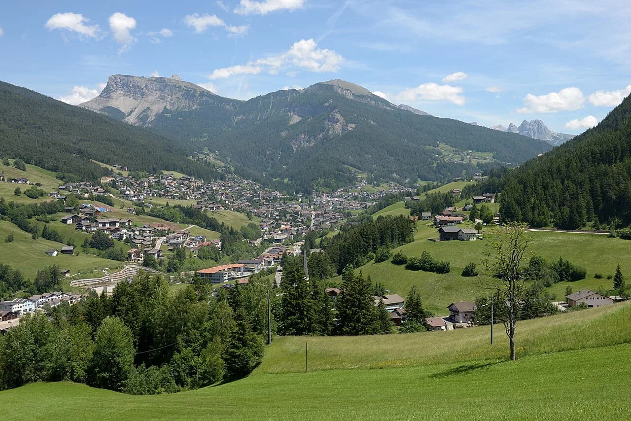
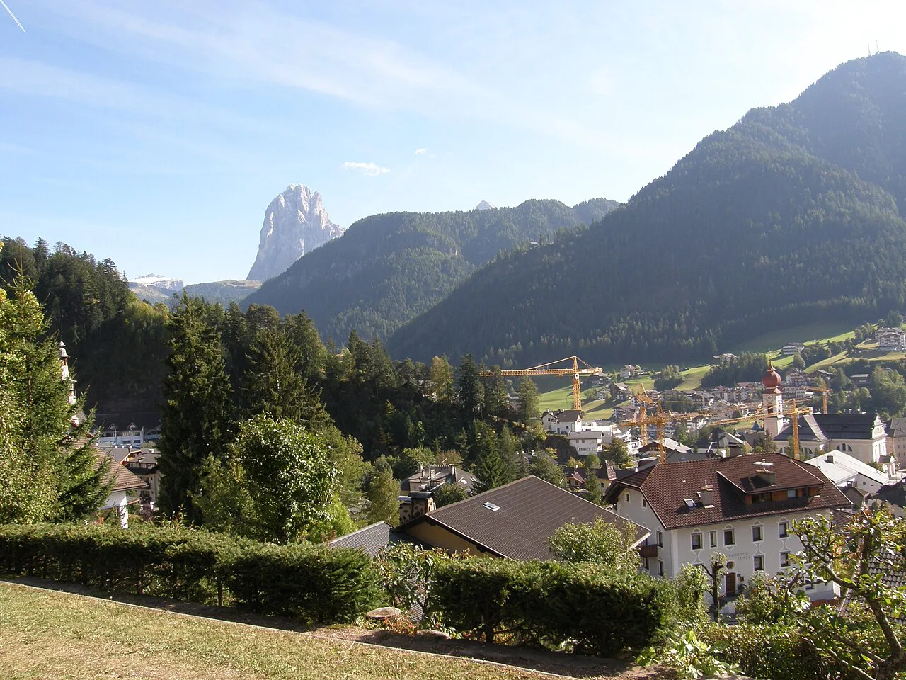
Ortisei, known in German as St. Ulrich, is a South Tyrolean village in Val Gardena where gondolas leave from the edge of town and set you down among meadows and jagged peaks within minutes. That lift infrastructure is why the village suits hikers who want big mountain days without a car and without climbing every vertical metre from the valley floor. The three routes below cover a dramatic ridgeline, a gentle high plateau and a forest trail beneath the Odle.
Plan around fitness and time rather than ticking off names. A full on-foot ascent to Seceda rewards strong legs with quiet trail, the Alpe di Siusi plateau works as a recovery day, and the Adolf Munkel Trail trades altitude for forest, huts and close-up views of the Odle. Each one starts from a different trailhead with its own access rules, so read the sections in the order you intend to hike them.
Why Ortisei Works as a Hiking Base
The village is compact, walkable and stacked with restaurants, grocery stores, gear shops and hotels, which makes it a genuine basecamp rather than a pass-through. Its central position in Val Gardena puts several high alpine areas within a short lift ride or drive, so you can string together multiple hiking days without changing accommodation. Cable cars link the village directly with Seceda and Alpe di Siusi, letting you start at elevation and spend your energy on the ridge instead of the approach.
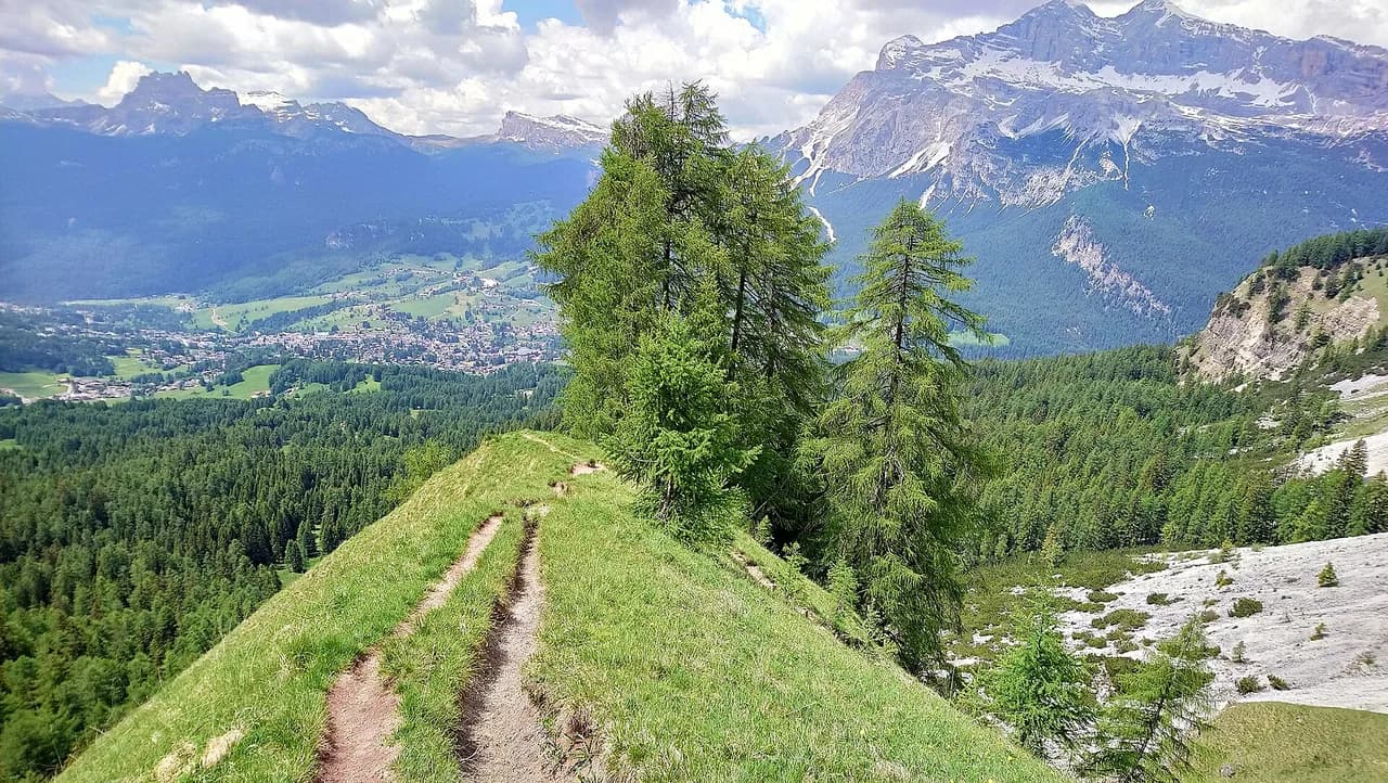
Two of the three hikes here begin with a lift from the village itself, and the third is a drive of roughly 50 minutes toward Val di Funes. That split matters when you book: a car gives you the most flexibility for the Adolf Munkel Trail, while Seceda and Alpe di Siusi are straightforward on foot from your hotel. For a wider look at the valley's other trails, including the Sassolungo circuit and the high routes above Santa Cristina, the hiking in Val Gardena guide maps out the options. If you are weighing up another base entirely, the Cortina d'Ampezzo hiking guide covers the same kind of lift-served day hikes in a different Dolomite valley.
Seceda Ridgeline: Lift Access and the Col Raiser Approach
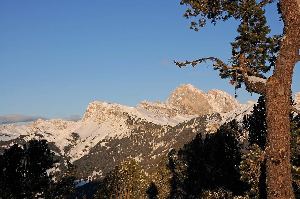
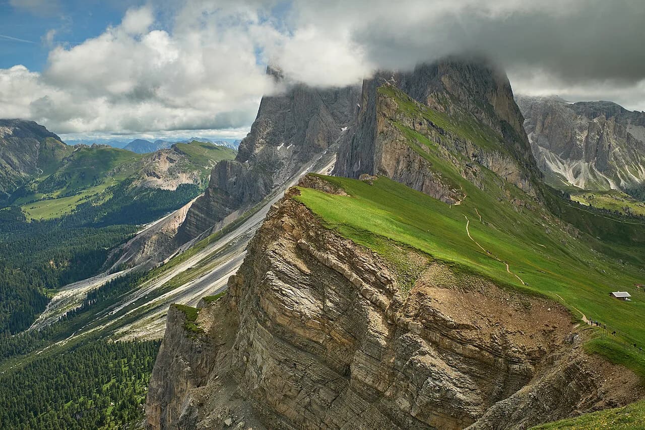
Seceda is the headline hike from Ortisei, a sharp green ridge beneath pale limestone spires with the Val Gardena valley spread below. The quickest way up is the gondola from Ortisei to Furnes followed by a cable car transfer to the top, a route that needs almost no walking and works well if you are exploring without a rental car. The gondola station is walkable from the town center, so the whole approach can be done on foot from your hotel.
For a quieter arrival, take the Col Raiser cable car from Santa Cristina up to the mountain station at around 2,100 metres (6,890 ft) and walk through open alpine terrain to Rifugio Firenze before continuing to the ridge. This approach covers more ground on foot and delivers you to the ridgeline with far fewer people than the gondola station sees. The trade-off is time and legs: budget a full day and bring trekking poles for the steeper sections of the descent.
Seceda Distance, Ascent and Route Section by Section
From the Col Raiser parking area the trail climbs steadily through alpine meadows to Rifugio Firenze, roughly 3.7 km (2.3 miles) of walking, before the path continues upward to the Seceda ridgeline at about 2,500 metres (8,200 ft). The full route from the parking area to the ridge runs about 8 to 10 km (5–6 miles) one way, and a complete out-and-back day can total 18 km (11 miles) or more. Expect a moderately challenging day rather than a stroll, with a steady gradient most of the way.
Treat the walk as three parts: the meadow climb to Rifugio Firenze, the steeper push from the hut to the ridge, and the ridge itself, where the trail is easy to follow and lined with viewpoints. Once on top, connecting paths let you extend or shorten the day as your legs dictate. Start early, because the ridge gets busy as the morning goes on and afternoon cloud can swallow the view you climbed for.
Alpe di Siusi from the Mont Seuc Cable Car
Alpe di Siusi is Europe's largest high alpine meadow, a vast open plateau of rolling grass and mountain panoramas rather than a single defined trail. The Mont Seuc cable car leaves from a station walkable from Ortisei's center and puts you on the plateau in under 15 minutes for a round trip of about €39 per adult. Parking is available in the underground garage at the station or at Garage Central in town, a five-minute walk away.
The plateau network is extensive and well marked, so pick a loop rather than following a fixed route. A standard circuit from the cable car station across the meadows toward Malga Sanon and back runs roughly 13 to 14 km (8–9 miles) with minimal elevation gain, and shorter options of 5 to 8 km (3–5 miles) work well if you want a half day. Because the ground is largely flat, this is the hike to choose between bigger days or when the weather on the high ridges looks unsettled.
Adolf Munkel Trail: Zans Trailhead, Parking and the Route
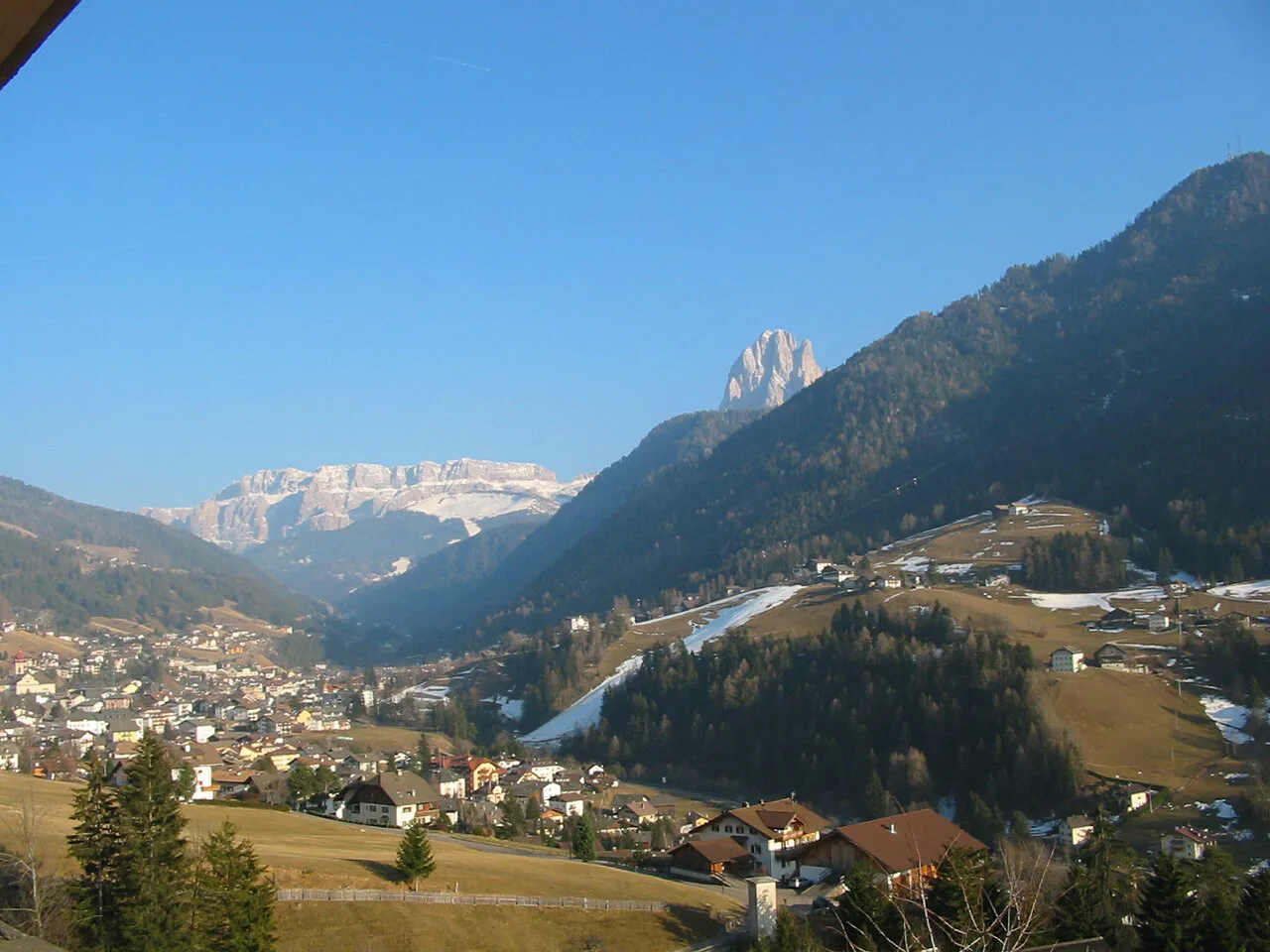
The Adolf Munkel Trail winds through forest and alpine meadows beneath the Odle, the jagged wall that dominates the view from Val di Funes. It is gentler than Seceda and noticeably quieter, with several mountain huts along the way for lunch or a rest stop. The standard route follows trail 6, then the Adolf Munkel Weg (35), then trail 36 back to the start, giving a loop you can also walk as an out-and-back.
Expect 8 to 11 km (5–7 miles) depending on the variation you pick, around 460 metres (1,500 ft) of ascent, and two to three hours of walking before you count hut time. The trailhead is the Zans parking area, where parking costs about €10 per day and you pay at the booth on arrival. Arrive by 9:00 a.m. at the latest in summer, as the lot fills quickly on weekends, and note the trailhead restaurant closes on Mondays.
The reward on this route is the hut stop: Gschnagenhardt Alm, also called Malga Casnago, sits mid-trail with outdoor seating facing the Odle, and lingering there is part of the day rather than a delay. Go early or late for fewer people and better light on the peaks, and pack layers because conditions shift quickly under the wall. Hiking poles help on the descents, and carrying cash or a card covers hut lunches.
Difficulty, Exposure and Afternoon Weather
The Seceda ridge is the exposed option of the three: once you leave the shelter of the meadows the ground is open, the wind can be strong and afternoon storms build fast in the Dolomites. Start early enough to be off the high ground before the weather turns, and turn around if cloud thickens over the peaks. Snow can linger on the upper slopes early and late in the season, so a summer-only horizon is realistic for the ridge.
The Adolf Munkel Trail and the Alpe di Siusi loops are lower and more forgiving, with forest cover on much of the Val di Funes route and flat ground on the plateau. On the plateau, the risk is sun and distance rather than exposure, since there is little shade across the open meadow and the network is big enough to overshoot your planned loop. Carry water, check the map at junctions and keep something in reserve for the walk back to the lift.
Lifts, Buses and Parking: Reaching Each Trailhead
Seceda and Alpe di Siusi are the easy ones without a car: both cable car stations sit within walking distance of Ortisei's center, and the lifts do the climbing for you. The Seceda lifts generally run from late May into early October, and the Mont Seuc cable car runs roughly May to November. On the direct route you ride the gondola from the village to Furnes and transfer to the top cable car, which is the version to choose when you want the ridge without the climb.
For the Adolf Munkel Trail you need wheels or a transfer, since the Zans trailhead sits about 50 minutes by car from Ortisei in Val di Funes. Parking is paid at the booth on arrival, and pre-booking online is possible in peak summer, which removes the early-morning scramble. If you are staying in Ortisei without a car, plan the Seceda and Alpe di Siusi days around the lifts and keep Val di Funes for a day when a car or shuttle is available.
When to Go: Summer Meadows to Autumn Color
June through October is the usable window, when trails are generally free of snow and the lifts run to the high ground. Summer brings wildflower meadows and long daylight hours, while autumn delivers cooler air, golden larch and thinner crowds. Early October often brings warm sun with crisp mornings, a good compromise between conditions and numbers.
The catch is the shoulders of the season: huts, restaurants and lifts begin closing in late autumn, so a mid-October visit can mean walking up routes you expected to ride. Cable car operating calendars for the Seceda and Mont Seuc lifts are published by the lift operator and are worth a look before you commit to dates. If you want the lifts guaranteed, aim for July through September rather than the edges.
Which Hike Suits Which Day
Pick Seceda for your biggest day if you want an earned ridgeline and are comfortable with 18 km (11 miles) and a long climb; take the two-cable-car route instead if you want the view without the vertical. Choose Alpe di Siusi for a recovery day between harder outings, when a flat loop, a hut lunch and a lift ride are exactly the right effort. Use the Adolf Munkel Trail for a forest day with hut food and Odle views close overhead, especially if you have a car.
A workable three-day plan runs Seceda first while your legs are fresh, the plateau second as active recovery, and the Adolf Munkel Trail third as a shorter, gentler finish. If you only have one clear day and no car, ride the Seceda gondola and walk the ridge. Longer routes in the range, such as the Sassolungo circuit, need their own day and a separate plan.
What to Pack for Ortisei Trails and Hut Lunches
Dolomites weather changes fast with altitude, so pack a lightweight rain jacket, a fleece or light insulated layer, and a daypack for spare clothing, water and snacks even on sunny mornings. Boots or trail runners with good traction cover the meadow paths and the steeper Seceda sections, and poles pay off on the long descents. Sunscreen and sunglasses matter on the open plateau and ridge, where high-altitude sun is strong.
Bring a portable charger and offline maps, since navigation on the plateau network and the Val di Funes forest trails benefits from a downloaded route. Carry cash or a card for hut stops, because Rifugio Firenze, Malga Sanon and Gschnagenhardt Alm are the natural lunch breaks on these hikes.
Plan Your Ortisei Hiking Days
Ortisei gives you three distinct hiking days from one base: a dramatic ridgeline with a lift shortcut, a flat high meadow that suits tired legs, and a forest trail under the Odle that rewards an early start. Decide first whether you have a car, then match the day to your legs and the lift season. The hikes themselves are well marked, so the real planning is choosing order and timing.
Frequently Asked Questions
How hard is the hike from Ortisei to Seceda?
On foot from the Col Raiser side, the climb to the ridge is a moderately challenging day, with about 8 to 10 km (5–6 miles) one way and a full out-and-back often reaching 18 km (11 miles). The alternative is the gondola from Ortisei to Furnes and the cable car to the top, which removes almost all the climbing.
What is the best Ortisei hike for a rest day?
Alpe di Siusi. The Mont Seuc cable car puts you on a largely flat plateau where loops range from 5 to 14 km (3–9 miles) with minimal ascent, and hut stops such as Malga Sanon make it a relaxed day between bigger hikes.
Do you need a car to hike the Adolf Munkel Trail from Ortisei?
Yes, or a transfer. The trailhead is the Zans parking area in Val di Funes, roughly 50 minutes by car from Ortisei, and parking is paid at the booth with optional online booking in peak summer.
When do the Ortisei cable cars close for the season?
The Seceda lifts generally run from late May into early October, and the Mont Seuc cable car roughly May to November. The lift operator publishes the operating calendar for each season.
Which Ortisei hike has the best mountain hut stop?
The Adolf Munkel Trail, where Gschnagenhardt Alm sits mid-route facing the Odle. Rifugio Firenze on the Seceda approach and Malga Sanon on the plateau are the other reliable lunch breaks.
Sources
Trail notes for your next trip
Optional updates when we add or revise hiking guides.
You might also like
Continue reading
More guides you'll find useful