Hiking in Val Gardena: Best Trails and Base Villages
Plan hiking in Val Gardena with the best day hikes from Ortisei, Selva and Santa Cristina, the lifts that reach them, and how to link trails by bus.
On this page
Val Gardena gives you a rare combination in the Dolomites: high ground reached in minutes by cable car, then well-marked paths that link mountain huts and viewpoints across open alpine terrain. The valley strings together three villages, Ortisei, Santa Cristina and Selva di Val Gardena, each with its own lifts and its own angle on the surrounding peaks. That makes it a strong base whether you want a gentle half-day ridge stroll or a long circuit under the Sassolungo walls.
The local tourist board describes the valley as a hiking world of developed paths, cable cars to the higher zones and original alpine huts where you can stop to rest. Because the lifts do the climbing, your choices come down to how much distance and descent you want, and how early you can start.
Why Val Gardena suits hikers
Three things make the valley work as a hiking base: lifts that lift you above the trees, a dense web of numbered paths connecting huts, and a bus network that lets you finish somewhere other than where you started. You can walk from village to village, ride a gondola up one side and descend a chairlift on the other, then catch a bus back to your accommodation.
The numbered paths are the key to planning here. Routes such as 526 and 526C on the Sassolungo flanks or paths 1, 6 and 2B along the Seceda edge appear on the free summer hiking map handed out at the Ortisei tourist office, which also lists suggested walks on the reverse with times. Pick up that map on arrival and cross-check the path numbers against a printed topographic sheet before you commit to a long day.
The main hiking areas
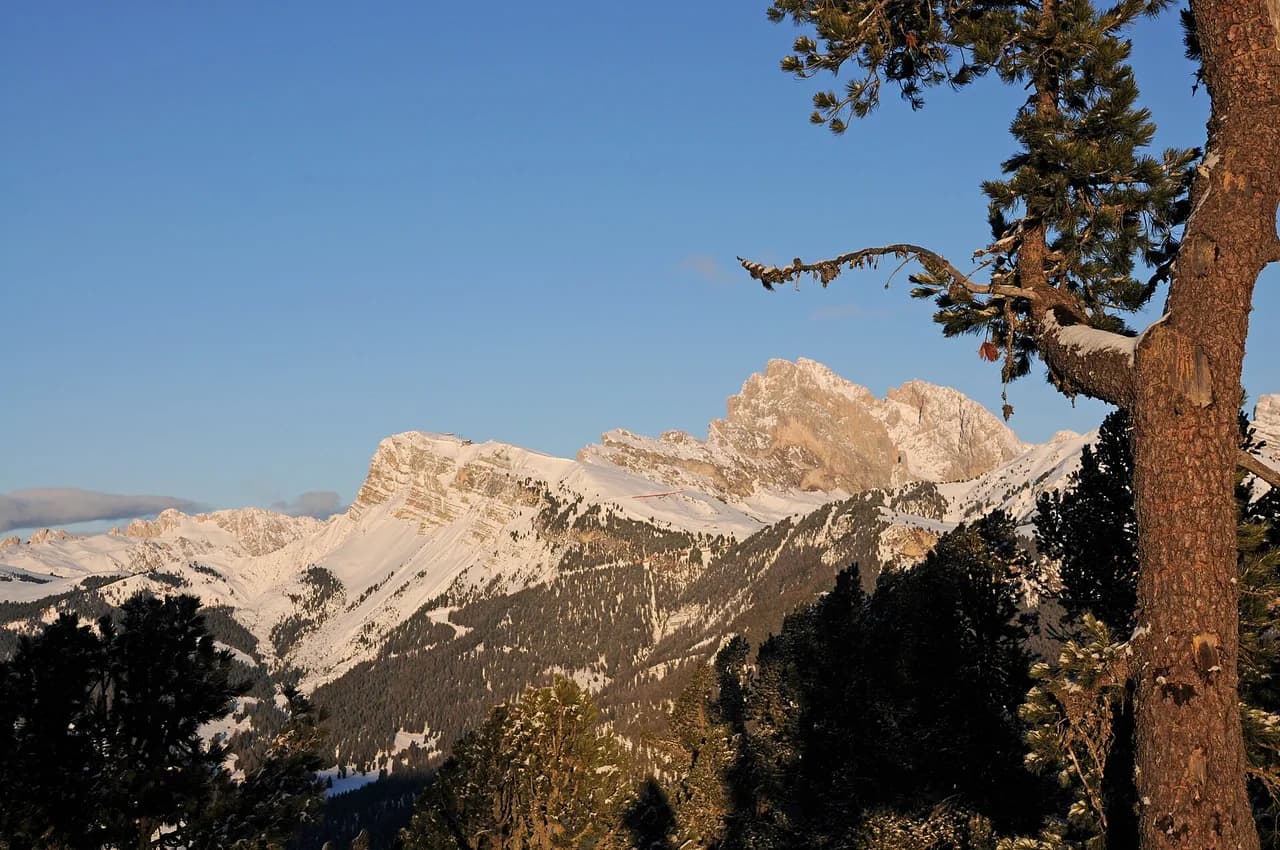
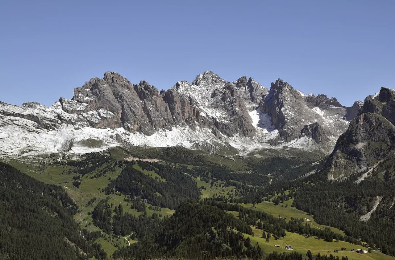
Seceda, above Ortisei, is the headline area: a broad grassy plateau with the jagged Odle ridge on one side and long views toward Sassolungo on the other. Resciesa, reached by funicular from Ortisei, offers a quieter ridge traverse with a chapel and a crucifix as landmarks. The Sassolungo massif between Santa Cristina and Passo Sella gives the big circuit and half-circuit days, and Passo Gardena provides short climbs straight from the roadside.
These areas sit inside or on the edge of the Puez-Odle Nature Park, part of the Dolomites UNESCO World Heritage. Expect open pasture, rock walls and little shade once you are above the treeline, so sun protection and water matter even on short routes.
Which base village suits which hikes
Ortisei is the most convenient base for first-timers. The Seceda gondola and the Resciesa funicular both leave from town, and buses from the village square reach Santa Cristina and Selva in minutes. If your priority is the Seceda ridge and viewpoint, stay here and walk to the lift.
Santa Cristina suits anyone planning the Sassolungo routes, because the chairlifts to Monte Pana and Mont Seura start from its side of the valley. Selva sits highest and closest to Passo Gardena and Passo Sella, which shortens morning drives and gives quick access to the Sella massif and the Vallunga.
Easy half-day hikes: Seceda ridge and Resciesa circuit
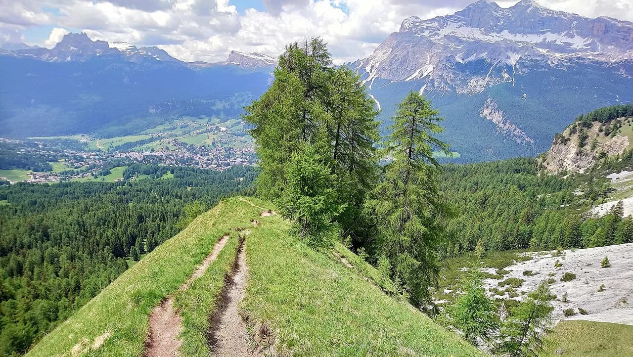
The classic easy day is the Seceda ridge. Ride the gondola from Ortisei to the top station, then take the short, steep trail up behind the station to the ridgeline for the sharpest view of the Odle peaks. From there you can walk the edge path or drop to Troier Hütte, a small hut directly below the lift, before riding back down.
The Resciesa ridge is the gentler alternative: a funicular climbs about 800 m (2,600 ft) from Ortisei to a 2,093 m (6,867 ft) upper station, where a circular walk of roughly 3.5 to 4 hours runs through high open country with very little climbing. Path 35 leads west to the Holy Cross Chapel and on to the crucifix at Resciesa di Fuori at 2,281 m (7,484 ft); path 31 then tracks east along the ridge, and path 5 descends steeply through forest to Ortisei via Furnes at 1,691 m (5,548 ft).
Moderate hikes: Pieralongia, Rifugio Firenze and the Sassolungo half circuit
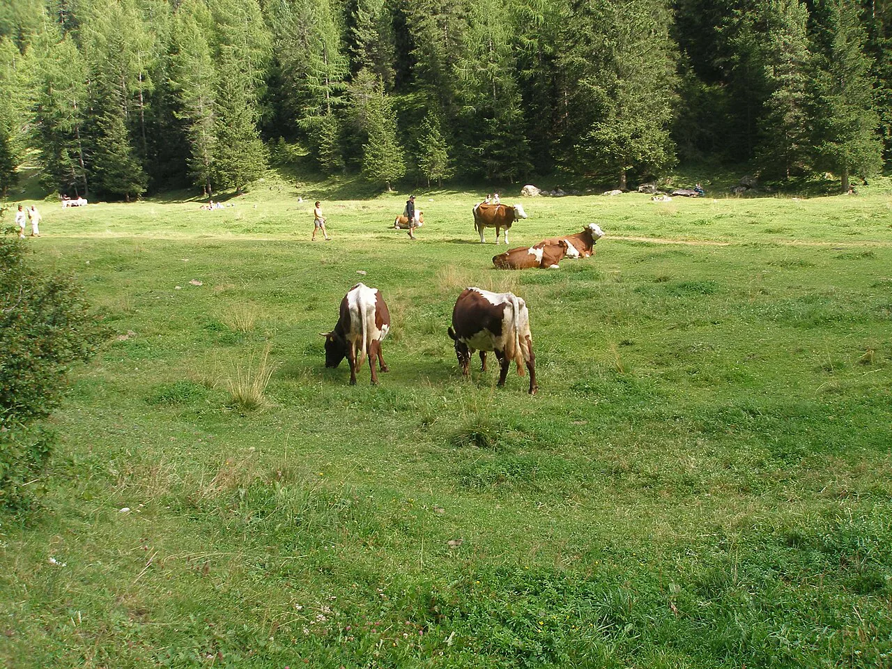
From the Seceda top station, a flat traversing path scoots across the base of the mountains past Malga Pieralongia, a working pasture with cattle and a rustic stop, then continues about 45 minutes down to Rifugio Firenze, a hut first built in 1888 with a large terrace. The tourist office rates its own circular version of this route at around 3 hours, and you can shorten the return by taking the Fermeda chairlift back up instead of walking the final climb.
The Sassolungo half circuit uses the stand-up gondola from Passo Sella up to the Forcella del Sassolungo at 2,685 m (8,809 ft), then descends steep scree on path 525 before looping back around the eastern flank on paths 526 and 526C. Allow about 5 hours, most of it in the open with fine views of the Sella wall across the valley. The descent from the notch is the crux: rocky, loose and steady rather than technical, with trekking poles a real help.
If you want the whole massif, the full circuit around Sassolungo takes roughly 6.5 hours on paths that are rarely difficult but often busy. Both versions are covered in detail in this guide to the sassolungo circuit, which breaks the loop into sections around the mountain.
Bigger days: full Sassolungo circuit and Sellaronda hike
The full Sassolungo circuit is the valley's benchmark long day: about 6.5 hours on open, well-trodden trails with constant views of the peak's north and east faces. Start early, because the eastern approach through the Mont Seura lifts and the descent on the far side both eat time, and the last chairs down close in the late afternoon.
For a Sellaronda-style day, the paths above Passo Gardena climb ten minutes from the road into open ground with views one way into Val Gardena and the other toward Colfosco and the Val Badia. These short climbs reward an early stop before the pass fills with traffic, and they work well as an add-on to a longer hut walk. The valleys beyond Passo Gardena lie outside Val Gardena.
Distance, ascent and time for each hike
Use the timings as planning brackets, not stopwatch targets. The Seceda tourist-office circuit runs about 3 hours, the Resciesa ridge loop 3.5 to 4 hours, the Sassolungo half circuit around 5 hours and the full circuit roughly 6.5 hours. Add time for hut lunches, which are part of the point of walking here, and for the crowd delays near the Seceda top station in mid-morning.
Lifts and funiculars that make the routes work
The Ortisei-Seceda gondola is the workhorse for the eastern side, stopping once before continuing over the rock wall to the ridge top. The Resciesa funicular opens at 08.30 in summer and runs every 15 minutes. For Sassolungo, the St. Christina-Monte Pana chairlift starts at 08.30 and connects with the Mont Seura chairlift up to 2,025 m (6,644 ft).
On the Alpe di Siusi side, the Florian chairlift closes at 16.00 and the Sonne-Alpe di Siusi chairlift at 17.00, so a late descent from Sassolungo can strand you above the valley. If you miss them, the fallback is a steep walk down or a bus across the plateau, and those buses charge a fare. Build the last lift into your schedule rather than discovering it at the top station.
Buses and the Val Gardena Mobil card
Most accommodation in the valley issues a Val Gardena Mobil card, which covers seven days of free bus travel from first use, including the route to Bolzano. Buses run frequently between Ortisei, Santa Cristina and Selva, so you can ride a lift up one side of the valley, walk across, and return by bus without touching a car.
Fares apply on some services outside the covered network, such as plateau buses on the Alpe di Siusi, so keep a little cash or a card handy. Timetables are published on the Val Gardena mobility pages, and the printed summer hiking map also shows where the lifts and bus stops sit relative to the paths.
Trailhead parking at the passes and lift stations
Driving to the trailheads is straightforward but the popular ones fill early. Passo Sella has a large car park beside the lift, and Passo Gardena has parking at the top restaurants, where the zigzag road brings buses, motorcycles and photo-stopping cars together. Arrive before mid-morning on summer weekends or use the bus instead.
In the villages, park at the lift station car parks and walk from there; Ortisei's Seceda and Resciesa stations are both close to the center. Parking charges and time limits are posted at each site, so check current rates and time limits on the signs when you arrive.
Maps for planning
The free summer hiking map from the Ortisei tourist office shows forest, lifts and suggested routes, but north sits at the bottom, which makes it awkward alongside a standard sheet. Buy a 1:25,000 Tabacco map of Val Gardena at the tourist office as well; it shows paths and summer lifts clearly and is far easier to read on the move.
The official valley website also publishes a digital map and lists the numbered routes by name, which helps when you want to match a hut or viewpoint to a path number before you leave. Pair the map with a path-number list for the day and you will spend less time squinting at junctions.
When to go
Late June is a good window if you avoid high snow patches, while the stretch from the second week of July through August is the busiest and most expensive. September is arguably the best month: the crowds thin, the light softens, and the lifts are still running, though some close in the first week of October. Weekdays beat weekends throughout.
Lift operating seasons vary by line, so check the dates for the specific gondola or chairlift you plan to use before booking accommodation around it. The valley's lift pages and the map handed out with lift passes both list opening and closing times for each line.
Weather and hazards
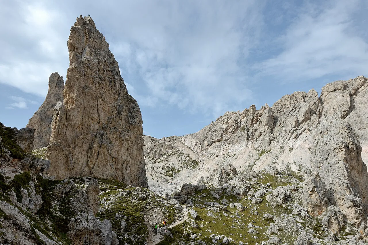
Afternoon storms build quickly in the Dolomites, so plan to be off exposed ridges and scree by early afternoon. Carry a shell and be ready to turn around; the descent from the Forcella del Sassolungo is loose and slippery when wet, and the Seceda edge path has drop-offs beside a narrow trail.
Snow can linger on north-facing passes into early summer and return in autumn, so ask at the tourist office about conditions on high routes before setting out. On the Sassolungo circuit, time your day around the last lifts down; a missed chair on the Alpe di Siusi side turns a comfortable finish into a long walk or an expensive bus ride.
Huts and refuges on the routes
Huts are spaced about 30 to 60 minutes apart on the Seceda plateau, serving panini, polenta and coffee, with proper toilets, so you rarely need to carry a full day's food. Rifugio Firenze has the biggest terrace on the eastern loop, Malga Pieralongia is the rustic pasture stop with cattle and mules, and Troier Hütte sits directly below the gondola for a short lunch outing.
Around Sassolungo, Rifugio Vicenza perches in its own amphitheater below the summit walls, reached by about an hour of steep scree from the top of the Passo Sella lift. It makes a memorable lunch stop before the trail continues around the base of the massif.
Fees, passes and reservations
Lift tickets add up: a return from Ortisei to Seceda costs 52 euros, and a Val Gardena lift pass costs 118 euros for three consecutive days or 152 euros for six. The pass pays off only if you ride lifts most days, and because the days must be consecutive, bad weather eats into its value. Note that six Alpe di Siusi lifts are excluded: Siusi-Alpe di Siusi, Puflatsch, Florian, Panorama, Marinzen and Spitzbühl.
The Florian chairlift, for example, costs 14 euros one way if you are not covered. Huts generally welcome walk-ins for lunch, but for dinner and overnight stays you should contact the hut or the alpine club that manages it in advance; the hut listings on the valley website give the contact details.
What to wear and carry
Treat a lift-assisted day like a mountain day: sturdy boots with good grip for scree, a light shell, sun hat and sunscreen for the open plateau, and at least a litre of water per person. Trekking poles earn their place on the descent from the Forcella del Sassolungo and on the steep forest path below Resciesa.
Where to stay and eat in Ortisei
Ortisei has the widest choice of hotels and restaurants in the valley, with options from family-run guesthouses to upscale spa hotels near the Alpe di Siusi edge. Staying here puts the Seceda gondola and Resciesa funicular within walking distance and the buses to the other villages at the door.
For a scenic extension on foot, the Puez-Odle Altopiano above the valley offers a wilder lunar landscape of rock and high pasture, reached from the Col Raiser lift above Santa Cristina. It suits fitter hikers who want a quieter day than the Seceda ridge.
Plan Your Val Gardena Hiking Trip
Start with the walk that matches your day: the Seceda ridge for big views with little effort, the Resciesa circuit for an easy half-day, or the Sassolungo half circuit for a proper mountain outing with a lift-assisted start. Then match the base village to the lifts you need, build the last descent into your schedule, and pick up the tourist-office map and a Tabacco sheet before your first morning.
If you are comparing Italian mountain bases, hiking in lake como and hiking in lake garda offer lower, greener walking, while Val Gardena delivers high alpine terrain with the lift and hut infrastructure to match.
Explore more Val Gardena hiking guides
Frequently Asked Questions
What is the best hike in Val Gardena for a first visit?
The Seceda ridge and viewpoint is the classic introduction: ride the gondola from Ortisei, take the short steep trail up to the ridgeline for the best view of the Odle peaks, then walk the edge path or drop to Troier Hütte before riding down. It gives you high alpine scenery without a long climb, and you can extend it toward Malga Pieralongia and Rifugio Firenze if you want more distance.
Is Val Gardena a good base for hiking in the Dolomites?
Yes. Three villages, a dense network of numbered paths and a set of summer lifts put you above the treeline quickly, and frequent buses let you finish a walk in a different village from where you started. Ortisei suits the Seceda and Resciesa routes, Santa Cristina the Sassolungo lifts, and Selva the passes at the head of the valley.
How long does the Seceda hike take?
The tourist office circular route on the Seceda plateau takes around 3 hours, and you can shorten it by taking the Fermeda chairlift back up rather than walking the final climb. Allow extra time near the top station, where the narrow edge path gets busy from mid-morning, and plan your day around the last gondola down.
Do you need a lift pass to hike in Val Gardena?
No, but the lifts save most of the climbing and individual return tickets are costly, so a multi-day Val Gardena lift pass can be better value if you plan to ride up most days. Check which lifts are covered: six Alpe di Siusi lines, including the Florian and Sonne-Alpe di Siusi chairs, are excluded.
Can beginners hike in Val Gardena?
Yes. The Resciesa ridge circuit and the Seceda plateau offer gentle, well-marked walking with huts nearby, and the lifts remove most of the ascent. Beginners should still carry a shell, water and a map, and stay off the steep scree descents around the Forcella del Sassolungo until they are comfortable on loose ground.
How do you get to the Seceda trailhead without a car?
Take the Ortisei-Seceda gondola from the edge of Ortisei; the top station sits just below the ridge and the viewpoint trail starts a few minutes away. Buses connect Ortisei with Santa Cristina and Selva, and most accommodation in the valley provides a guest card covering local bus travel.
When is the best time to hike in Val Gardena?
Late June and September are the sweet spots, with fewer crowds and generally settled weather, while July and August are busiest and most expensive. Some lifts close in the first week of October, so confirm the operating dates for the specific gondola or chairlift you plan to use before booking.
Sources
Trail notes for your next trip
Optional updates when we add or revise hiking guides.
You might also like
Continue reading
More guides you'll find useful