Hiking in Lake Como: Trails, Lifts and Base Villages
Plan hiking in Lake Como with mountain routes above the Intelvi Valley, lakeside paths and cable cars, plus distances, ascent, walking times and the best months.
On this page
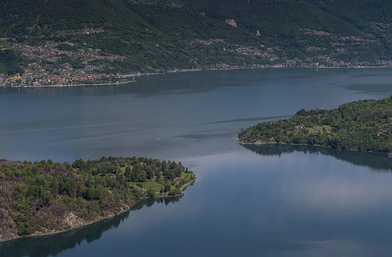
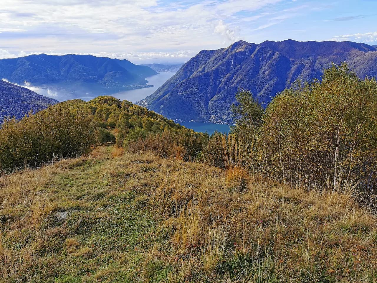
Lake Como packs two very different hiking experiences into one narrow, steep-sided valley: forested mountain tracks high above the water and gentle lakeside strolls past villas and ferry piers. The lake sits in Italy's Lombardy region, ringed by trails that climb through chestnut woods, olive groves and tiny mountain hamlets to viewpoints over the water.
The trick is choosing the right day. A 6-mile (9 km) mountain circuit with over 1,300 feet (400 m) of ascent suits a confident hiker, while a villa-and-village walk fits anyone who wants the scenery without the climb. Knowing which is which matters more than any single trail list.
Where the hiking sits around Lake Como
The mountain hiking concentrates on the steep slopes above the western shore and in the Intelvi Valley behind Menaggio, where farm-stays sit deep in the hills and trail networks start from the door. The lakeside walking runs along the popular Greenway path between Colonno and Cadenabbia, linking villages, gardens and ferry stops. That split lets you plan a strenuous day and an easy day without moving base. For another Italian lake where the mountain-and-shore split works in the same way, compare this with hiking in lake garda.
For a longer lakeside route east of the Como branch, the greenway del lago di como threads through villages and gardens, and the Via Regina label marks the historic shore road it follows. It is a link between places, not a summit objective, so treat it as a half-day with villa detours rather than a full mountain outing.
The eastern shore has its own long-distance walking in the sentiero del viandante, which runs through Abbadia Lariana and Mandello del Lario on the Lecco side of the lake. If you want a multi-day shore path instead of a single day out, that is the closest thing to a through-route on Lake Como.
When to go
A week-long walking itinerary around the lake runs from April to October, which gives a sensible frame for the season. Late spring and early autumn bring cooler climbing conditions, while July and August put the heat on exposed slopes.
Build the day around the heat rather than against it. Start the mountain climbs early, keep the middle of the day for lakeside shade or a ferry crossing, and treat afternoon storms on the high ridges as a real possibility in summer. Snow can linger on the highest ground into spring, so check conditions on the passes before committing to a high circuit.
Lakeside walks: the Greenway and the villa gardens
The Greenway is the backbone of easy walking on the lake, running along the shore between Colonno and Cadenabbia with village stops along the way. From the path you can detour to Villa del Balbianello, whose gardens sit on a dramatic promontory, and to Villa Carlotta, a short walk from Cadenabbia with botanic gardens full of pergolas and lush planting.
Both villas reward a slower pace: the Balbianello gardens are the draw, while Carlotta's planting justifies an hour of wandering rather than a quick photo stop. Carry water, because the shore path bakes in the afternoon sun, and plan ferry hops if you would rather not walk both directions.
Mountain day: Monte Bisbino and the ridge above the lake
A strong introductory mountain day starts high on Monte Bisbino at 1,325 m (4,347 ft) and follows a high-level track over Monte San Bernardo at 1,351 m (4,432 ft) and Monte di Binate at 1,279 m (4,196 ft). The full walk covers 6 miles (9 km) with about 1,378 ft (420 m) of ascent and 2,723 ft (830 m) of descent, so most of the work is downhill.
The descent to the farm-stays around Schignano is where the gradient bites, and knees feel the long drop more than the climb. Views over the lake open up early on the ridge, so the reward comes before the hard work. After rain, the upper track can be slick; grip matters more than pace.
The Intelvi Valley trails above Schignano
From the farm-stays around Schignano, a network of trails heads out towards Monte Generoso, which rises to 1,700 m (5,577 ft) above neighbouring Lake Lugano. A typical valley day covers 7 miles (12 km) with about 2,690 ft (820 m) of ascent and the same descent, so it is a full mountain outing.
These are chestnut-wood and hamlet paths rather than via ferrata, so a fit hiker with decent boots can handle them. The Intelvi Valley gives you a genuine mountain base away from the waterfront bustle, with restaurants at the farm-stays serving local dishes in the evening. Treat the valley as the place to stack two or three consecutive mountain days.
Cable car to Pigra and the descent to Colonno
The Funivia Argegno–Pigra lift skips the road climb, dropping you at Pigra to start a 9-mile (15 km) descent to Cadenabbia. The route follows shady forest trails through an abandoned village, reaches the lakeshore at Colonno, then joins the waterside Greenway. Ascent is modest at around 545 ft (166 m), but the descent totals about 2,690 ft (820 m).
On days when the cable car is not running, the operator substitutes a transfer to Pigra, so the walk itself still happens. Local buses can shorten the day if the descent has taken more out of you than expected. Check the lift's operating calendar before you build the day around it.
Short climb to the San Martino chapel
The sanctuary of San Martino above Cadenabbia sits perched about 450 m (1,476 ft) above the lake, clinging to a cliff face, and the paved path up is lined with shrines. A loop from Cadenabbia covers 4 miles (6 km) with about 2,000 ft (610 m) of ascent and the same descent — short, but steep.
It pairs well with a ferry crossing to Bellagio or a visit to Villa Carlotta, so a single day can combine a climb with a lakeside afternoon. If you are staying in Tremezzo rather than Cadenabbia, a short bus ride connects the two and keeps the loop manageable.
Base villages and which walks suit them
Cernobbio suits the first and last nights: it sits close to Como and its transport links, with the lake on the doorstep. Cadenabbia and Tremezzo work best for the Greenway, the villas and the San Martino climb, since the ferry pier and bus stop are a few steps from the hotels. Menaggio and the Intelvi Valley farm-stays serve the mountain days above Schignano.
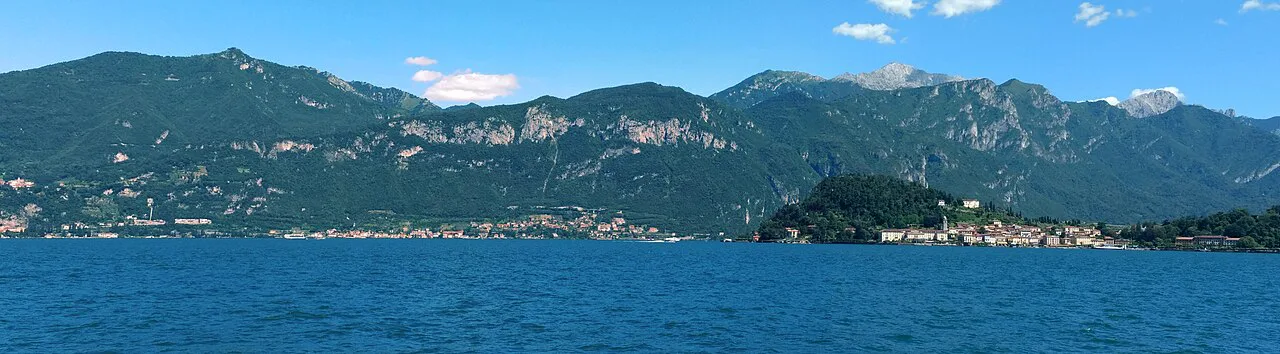
Bellagio is worth a ferry hop for its promenade and café terraces rather than as a hiking base, because every mountain route then needs a crossing. Choose one waterfront base and one valley base, and you cover both halves of the hiking without constant transfers.
Getting to trailheads by train, ferry, bus and lift
Como is the transport hub: the train from Milan takes about 1 hour, and Venice is roughly 3.5 hours away. From Como, a ferry or fast boat reaches Cernobbio in about 15 minutes, or a bus takes around 30 minutes, both payable locally.
Once on the lake, ferries and local buses are the practical way to stitch walks together, and the Argegno lift removes the worst road climb on the Pigra descent. You do not need a car if you are willing to plan around ferry and bus times; a car mainly saves time on the Intelvi Valley days. Carry cash or a card for the locally paid boats and buses.
If you want a comparison with another Italian long-distance route rather than a self-guided week, a hiking trip in the Dolomites moves between huts on marked paths, which is a different style from the inn-to-inn pattern here. For a broader look at how the best walks in Italy compare, from alpine trails to coastal paths, see Walks in Italy: 8 Great Hikes From the Alps to the Amalfi Coast.
Huts, farm-stays and where to sleep between walks
The classic pattern on Lake Como is inn-to-inn rather than hut-to-hut: independent walkers move between hotels in Cernobbio, Cadenabbia and Tremezzo and farm-stays in the Intelvi Valley. Book the farm-stays early in high season, because capacity in the valley is limited and the restaurants there are part of the appeal.
If you prefer a guided or self-guided package, a week-long Lake Como Trails format covers 65 km (40 miles) over eight days and seven nights, starting in Cernobbio and finishing in Menaggio, with luggage handled between stays.
Distance, ascent and time at a glance
The Bisbino ridge day runs 6 miles (9 km) with 1,378 ft (420 m) of ascent and 2,723 ft (830 m) of descent. The Intelvi Valley day covers 7 miles (12 km) with about 2,690 ft (820 m) of ascent and descent. The Pigra-to-Cadenabbia day is 9 miles (15 km) with 545 ft (166 m) of ascent and 2,690 ft (820 m) of descent.
The San Martino loop is the shortest at 4 miles (6 km), with 2,000 ft (610 m) of ascent and descent. Use these figures to slot days: the descent-heavy Pigra route is easier on the lungs and harder on the knees, while the valley day is the most sustained climb.
AllTrails users rate the Wayfarer's Path between Bellano and Varenna highly, which makes it a sound option for a day when you want a lakeside walk with village stops rather than a high ridge.
What to pack and how the terrain punishes light shoes
The long descents — over 800 m (2,600 ft) on both the Pigra and Bisbino routes — punish thin soles and weak ankle support far more than climbs do. Choose boots with grip for forest tracks, and add poles if your knees struggle on steep downhills.
Pack for changeable mountain weather: a shell, a warm layer for the ridge, and enough water for a full day above the trees. On the shore path, sun protection and a refillable bottle matter most, because shade is patchy and the afternoon sun on the lake is strong.
Plan Your Lake Como Hiking Week
Build the week around one waterfront base and one Intelvi Valley base, then pair a mountain day with a lakeside day so the legs recover. Cernobbio, Cadenabbia or Tremezzo cover the Greenway and villa walks; the Schignano farm-stays cover Bisbino and Monte Generoso.
Check the Argegno lift's operating calendar and your ferry times before you commit to any descent route. With those pinned down, Lake Como gives you steep, well-marked mountain walking and easy village strolls in the same trip.
Explore more Lake Como hiking guides
Frequently Asked Questions
Which side of Lake Como is better for hiking?
The western shore and the Intelvi Valley above Menaggio hold the mountain routes and the farm-stay network, while the shore path between Colonno and Cadenabbia carries the easy lakeside walking and villa visits. The Lecco branch to the east has its own long-distance shore path through Abbadia Lariana and Mandello del Lario. Most hikers base on the western shore and treat Bellagio as a ferry day.
How long does the Greenway del Lago di Como take?
Treat it as a half-day with villa detours rather than a full mountain day. The path links villages between Colonno and Cadenabbia, and stops at Villa del Balbianello and Villa Carlotta add time. Carry water and use the ferries if you would rather walk one direction only.
Do you need a car to hike around Lake Como?
No. Trains reach Como from Milan, ferries and fast boats link the waterfront villages, local buses connect the shore, and the Argegno lift removes the road climb to Pigra. A car mainly saves time on Intelvi Valley days. Plan around ferry and bus times and you can hike the lake without driving.
What is the best month to hike in Lake Como?
The walking season runs from April to October. Late spring and early autumn bring cooler climbing conditions, while July and August are hot on exposed slopes, so start mountain days early. Snow can linger on the highest ground in spring.
Are there cable cars to trails above Lake Como?
The Funivia Argegno–Pigra lift carries you from Argegno up to Pigra to start the 9-mile (15 km) descent to Cadenabbia. When the lift is not running, a road transfer to Pigra keeps the walk possible. Check the operating calendar with the lift operator before you build a day around it.
Is Lake Como walkable without long transfers?
Yes, if you pick the right base. Cadenabbia and Tremezzo put the Greenway, the villas and the San Martino climb within walking distance, and the ferry pier and bus stop are close by. The Intelvi Valley farm-stays put the mountain trails at the door.
Sources
Trail notes for your next trip
Optional updates when we add or revise hiking guides.
You might also like
Continue reading
More guides you'll find useful