Puez-Odle Altopiano Hike: Val Gardena Trail Guide
Hike the Puez-Odle Altopiano from Selva di Val Gardena: Dantercepies gondola access, 17 km point-to-point, ascent, timing, rifugios and the Vallunga descent.
On this page
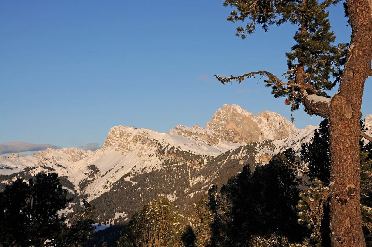
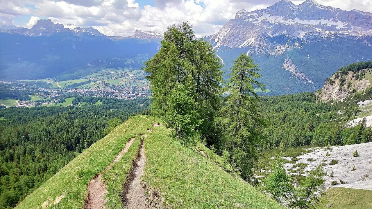
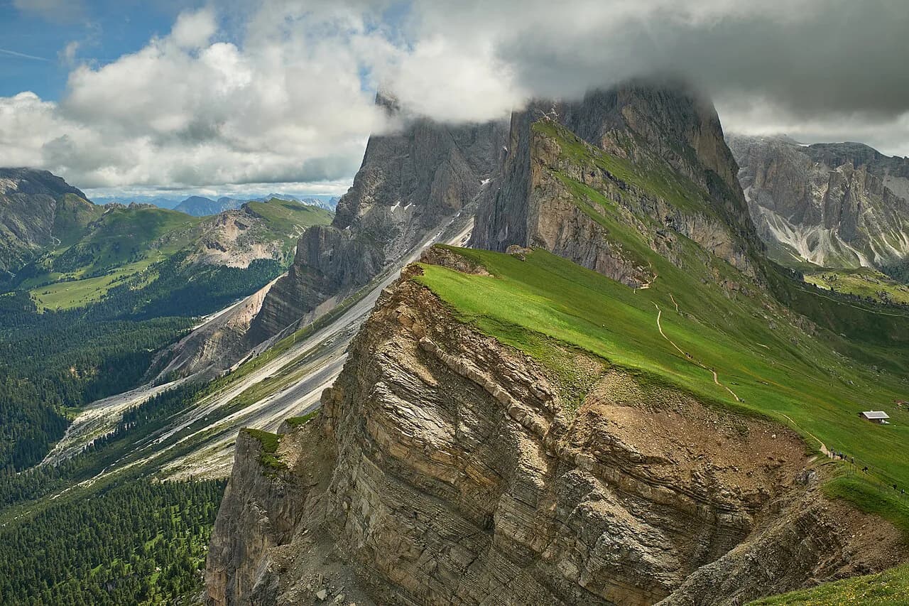
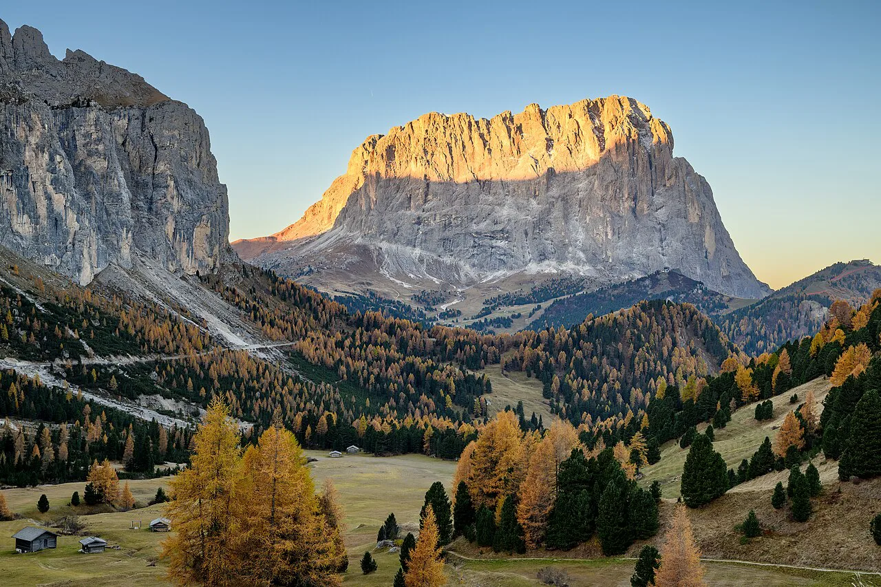
The Puez-Odle Altopiano delivers the Dolomites in one long day: limestone towers, high grassy plateau, a lake set under rock walls and two staffed rifugios where you can eat. Because the Dantercepies gondola lifts you out of Selva di Val Gardena, most of the climbing is done for you and the day plays out downhill.
It suits fit hikers who can keep moving for six to nine hours and who would rather cover ground than stand in a queue for a viewpoint. The trade-off is real: the ascent is modest but the descent is long, so the day tests your knees and your focus more than your lungs.
Where the Puez-Odle Altopiano hike goes and who it suits
The route is a point-to-point traverse on the plateau north of Selva di Val Gardena, in the Puez-Odle Nature Park in the Italian Dolomites. You start high, traverse beneath the Odle peaks, touch the Forcella Cir area and Rifugio Puez, then drop through the Vallunga valley back toward town. Plan on leaving early enough to finish the plateau before afternoon weather builds, and treat the valley exit as a fixed target rather than a stroll you can rush.
This is a full-day hike for hikers comfortable on scree, with a few steeper sections where the footing is loose and slippery on the way down. It is not a beginner's outing, but active older children can manage it; the day is long rather than technical. If you want a shorter introduction to the same massif, the Seceda side gives you high ground with far less commitment.
Trailhead and gondola access at Selva di Val Gardena
The walk begins at the base station of the Dantercepies gondola outside Selva di Val Gardena, where a parking garage and a large parking lot sit beside the bottom station. Ride up, then follow the wide trail east toward Rifugio Jimmi. Assuming you park at the gondola base, you finish the day by walking back to the same spot, so the car is waiting where you left it.
Without the lift, the day becomes a much bigger climb from town and loses the logic of the traverse. Check the gondola's exact summer dates and operating hours with the lift operator before you fix your date.
Distance, ascent and walking time
The full traverse covers 17 km (10.6 mi) point-to-point, with about 850 m (2,800 ft) of ascent and 1,500 m (4,900 ft) of descent. Allow six to nine hours depending on pace, stops and how much time you spend at the rifugios.
The unusual profile is what defines the day: the gondola erases most of the climb, so the 1,500 m of descent is the real work. Budget your energy accordingly and keep something in reserve for the valley walk at the end.
Riding the Dantercepies gondola and the season it runs
In summer the Dantercepies gondola runs from mid-June through early October, which sets the window for the standard version of this hike. It gives you big views on the way up and saves both time and climbing. Before booking accommodation, confirm the current season dates and daily hours directly with the lift company, because the surrounding timetable shifts year to year.
If your dates fall outside that window, the route changes character entirely: you walk up from Selva instead of riding, adding hours and vertical gain. In that case pick a different objective for the day or plan a shorter out-and-back on the plateau.
Route description: Rifugio Jimmi to the Forcella Cir climb
From the top station, the wide path east to Rifugio Jimmi is a warm-up with the Odle filling the skyline. At the hut the hiking proper begins: take trail no. 2 up into the rocky ground, climbing steadily until the plateau opens out. The landscape flips from green pasture to bare stone as you gain height.
Above the hut the trail crosses open ground beneath Lago di Crespeina and the surrounding summits before continuing across the plateau. Sections of scree make the descents slippery, so keep your weight back and use poles if you carry them. In poor visibility, name your landmarks as you pass them: Jimmi, the lake, the fork for Sass da Ciampac, then Puez.
Rifugio Puez and the high plateau
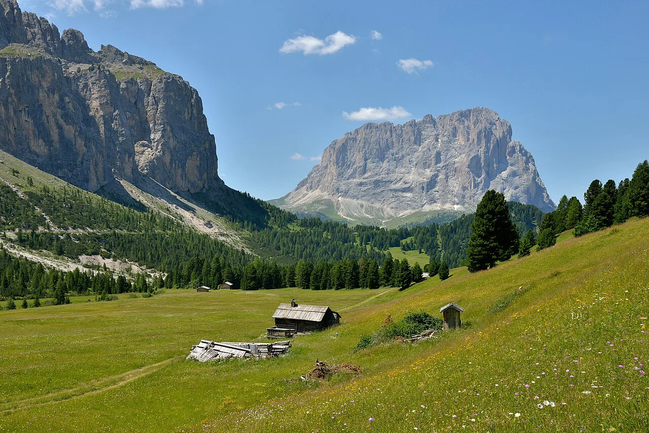
Rifugio Puez is a staffed hut on the plateau serving food and offering overnight stays, which makes it both a lunch stop and an escape hatch if the weather turns. Stopping here for half an hour resets the day before the long descent. Staying the night turns the traverse into two shorter days and puts you on the plateau for early light.
The plateau itself is the reason to come: wide, quiet and ringed by rock, with far fewer people than the headline Dolomites viewpoints. It is exposed ground, so a layer for wind and a hat matter even on a warm morning.
The descent into Vallunga: Trail 14 versus the higher line
Below Rifugio Puez you have a choice. Trail 14 drops quickly and directly into the Vallunga valley, with roughly 650 m (2,130 ft) of descent that is hard on the knees despite being downhill. The alternative stays higher for longer before dropping into the valley, which keeps the views going but stretches the day.
Choose Trail 14 if you want the shortest finish and your legs are holding up; take the higher line if you have time and want more of the plateau. Either way, the valley floor ends the technical part of the day and gives you a flat run-out.
Finishing the loop: Vallunga parking, Baita Ciampac and back to the gondola base
The valley walk is long and mostly level, taking an hour and a half to two hours to reach the road at Streda Val and the Parcheggio Vallunga parking area. Cattle and valley scenery break up the monotony, but treat this stretch as transport, not a highlight.
From the Vallunga parking area, stay on the footpath past Baita Ciampac Hutte, then follow Streda Dantercepies for about 800 m (0.5 mi) to the Dantercepies parking garage, closing the loop at your car. If the hut is open, a drink on the terrace is a sensible reward before that last stretch.
When to go: wildflowers, snow on the passes and afternoon storms
Summer is the season for this hike, when the plateau carries wildflowers and the gondola runs. Early summer can still hold old snow in shaded gullies and on the higher passes, and autumn storms arrive with little warning. Build in a flexible day so you can move the hike to the best weather window.
Start early. Thunderstorms build through the afternoon on exposed plateau ground, and the last place you want to be is above the Vallunga with nowhere to shelter. If clouds are stacking by midday, take the direct Trail 14 line down and skip the higher variant.
Gear, water and food on the route
Carry hiking shoes with real tread, water, snacks or lunch, and a jacket for the colder air at altitude. The scree makes descents slippery, so poles earn their weight on the Trail 14 drop.
Water refills are limited to the rifugios, so plan your bottles around Rifugio Jimmi and Rifugio Puez instead of counting on a tap anywhere on the plateau. Check current hut opening dates and cable car schedules before you set out if you are hiking at the edges of the season.
Huts on the route and staying overnight
Two huts frame the day: Rifugio Jimmi near the top of the gondola climb and Rifugio Puez on the plateau. Both serve food, and Puez also takes overnight guests. Booking directly with each hut is the straightforward route, and the Puez-Odle park pages help you match huts to your route.
Sleeping at Rifugio Puez splits the traverse neatly and gives you a relaxed start on the second morning. It also lets you wait out a poor forecast instead of forcing the plateau in cloud.
The Seceda side of the Puez-Odle plateau
Seceda is the other great access point onto this massif, reached by lift from Ortisei, and it puts you on the same high ground with far less distance. It makes a good bad-weather substitute or a short day if the full traverse is too much.
For a completely different shape of day in the same valley, the Sassolungo circuit trades plateau views for a loop beneath a single massive peak. Between the two you can build a varied week based in Selva or Santa Cristina, and the Ortisei hikes list widens the choice further. If you would rather compare bases before committing, the Dolomites hiking guide covers the same question for Cortina d'Ampezzo and beyond.
Plan Your Visit
Base yourself in Selva di Val Gardena for the shortest drive to the Dantercepies base station, and keep a spare day in case the weather closes the plateau. Book hut beds at Rifugio Puez directly if you want to split the traverse, and check the gondola's summer dates with the lift operator before you commit.
Start early, carry water and a shell, and decide on your descent before you reach Rifugio Puez so you are not weighing options on tired legs. The reward is one of the Dolomites' great high traverses without the crowds of the headline viewpoints.
Frequently Asked Questions
How long does the Puez-Odle Altopiano hike take?
Most hikers need six to nine hours for the 17 km traverse, including stops at the rifugios and a break above the plateau. The long, mostly flat walk out through the Vallunga valley adds an hour and a half to two hours on its own, so start early enough to be off the high ground before afternoon storms build.
How do you get to the Puez-Odle Altopiano trailhead from Selva di Val Gardena?
The hike starts at the Dantercepies gondola base station outside Selva di Val Gardena, where a parking garage and a large lot sit beside the bottom station. Ride the gondola up, then follow the wide trail east toward Rifugio Jimmi. Parking at the base also closes the loop, since the final walk brings you back to the same car park.
Do you need the Dantercepies gondola to hike the Puez-Odle Altopiano?
The gondola is what makes the standard traverse work: it removes most of the climb so the day is a long descent rather than a huge ascent. It runs in summer from mid-June through early October. Outside those dates you would walk up from Selva instead, which adds hours and vertical gain, so the lift season should drive your choice of date.
Can you stay overnight at Rifugio Puez on the plateau?
Yes. Rifugio Puez is a staffed hut on the plateau that serves food and also takes overnight guests, which lets you split the traverse into two shorter days. Book with the hut directly, and use the Puez-Odle park trail listings to fit the hut into a route if you are extending your stay.
Which descent from Rifugio Puez is better, Trail 14 or the higher route?
Trail 14 drops quickly into the Vallunga valley, with about 650 m (2,130 ft) of descent that is tough on the knees but gets you down fastest. The higher line stays on the plateau longer before dropping, which keeps the views but stretches the day. If storms are building, take Trail 14.
Is the Puez-Odle Altopiano hike suitable for children?
Active children around nine and older can manage the full traverse, since the day is long rather than technical, but younger hikers may struggle with the distance and the scree descents. Shorten the day by visiting the plateau from the Seceda side or stopping at Rifugio Puez before turning back.
Sources
Trail notes for your next trip
Optional updates when we add or revise hiking guides.
You might also like
Continue reading
More guides you'll find useful