Dolina Kościeliska Hike: Tatra Valley Trail Guide
Dolina Kościeliska is the Polish Tatras' easiest big valley walk: 5.5 km from Kiry to Hala Ornak with 273 m of ascent, caves, a gorge and a mountain hut.
On this page
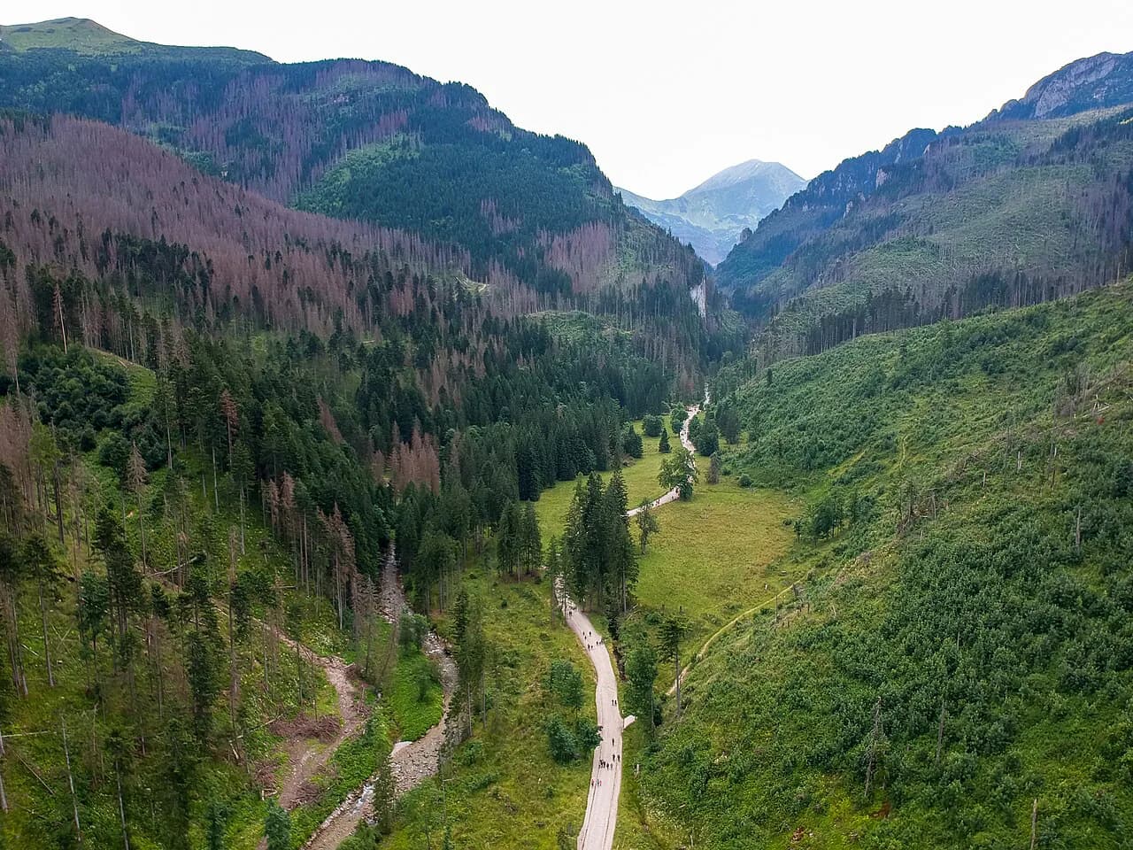
Dolina Kościeliska gives you a full day in the Western Tatras without a summit: a wide path follows the Kościeliski Stream through gates of limestone, past old mining ground and up to a mountain hut under Kominiarski Wierch. It suits families, first-time Tatra visitors and anyone who wants a real mountain valley on a day when legs or weather rule out a big climb. The trade-off is length rather than steepness, so plan for a steady half-day on foot, with optional detours that add hours of cave and gorge time.
What Dolina Kościeliska offers and who it suits
This is the Polish Tatras' gentle giant: a valley floor path that climbs so gradually it feels more like a long walk than a mountain hike. You get limestone cliffs, a stream running beside the trail, sheep grazing on a clearing and a hut at the top with views back up the valley. The caves set this valley apart from most Tatra routes, with several accessible caves branching off the main path.
Choose it for a first day in the Tatras, for a group with mixed fitness, or when cloud sits on the higher ridges. Readers building a wider trip can pair it with the other valley and ridge routes in the hiking in tatra mountains guide, which covers how the Polish Tatras fit together. Treat the day as a valley walk with side trips, not as preparation for exposed scrambling.
Trailhead and parking at Kiry
The walk begins at Kiry, the hamlet at the mouth of the valley in the gmina of Kościelisko, where the road from Zakopane ends in a cluster of paid car parks. Buses from Zakopane and neighbouring villages such as Witów, Chochołów and Czarny Dunajec serve Kiry, and restaurants, guesthouses and Tatra National Park information boards sit near the entrance. The valley entrance lies inside Tatra National Park and requires payment, charged on site at the gate, so carry a way to pay rather than relying on a barrier-free start.
From Kiry the trail runs up the valley to the PTTK Shelter on Hala Ornak and returns the same way; there is no through-route for a day hike. Driving from Zakopane takes about ten minutes over roughly 7 km (4.3 mi), which makes an early start easy before the car parks fill.
Distance, ascent and time
The official trail figures give 5.5 km (3.4 mi) one way from Kiry to the shelter, 273 m (896 ft) of ascent and 92 m (302 ft) of descent, with a highest point of 1,118 m (3,668 ft) and a walking time of about 1 hour 40 minutes. Allow 90 minutes up and 90 minutes down as a realistic pace with stops, and add the side trips you want before deciding how early to leave. The numbers confirm the character of the route: modest climbing spread over a long valley, so time on your feet matters more than lung power.
Route description: Kiry to Wyżnia Kira Miętusia
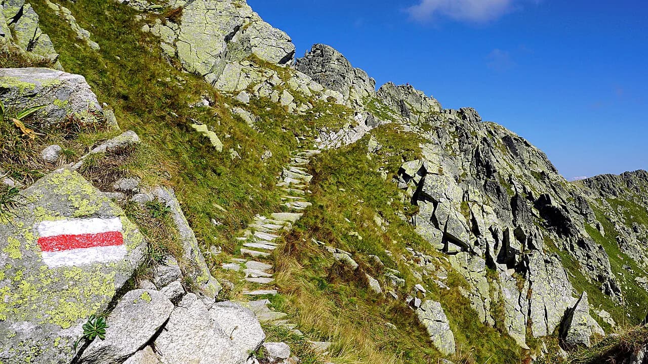
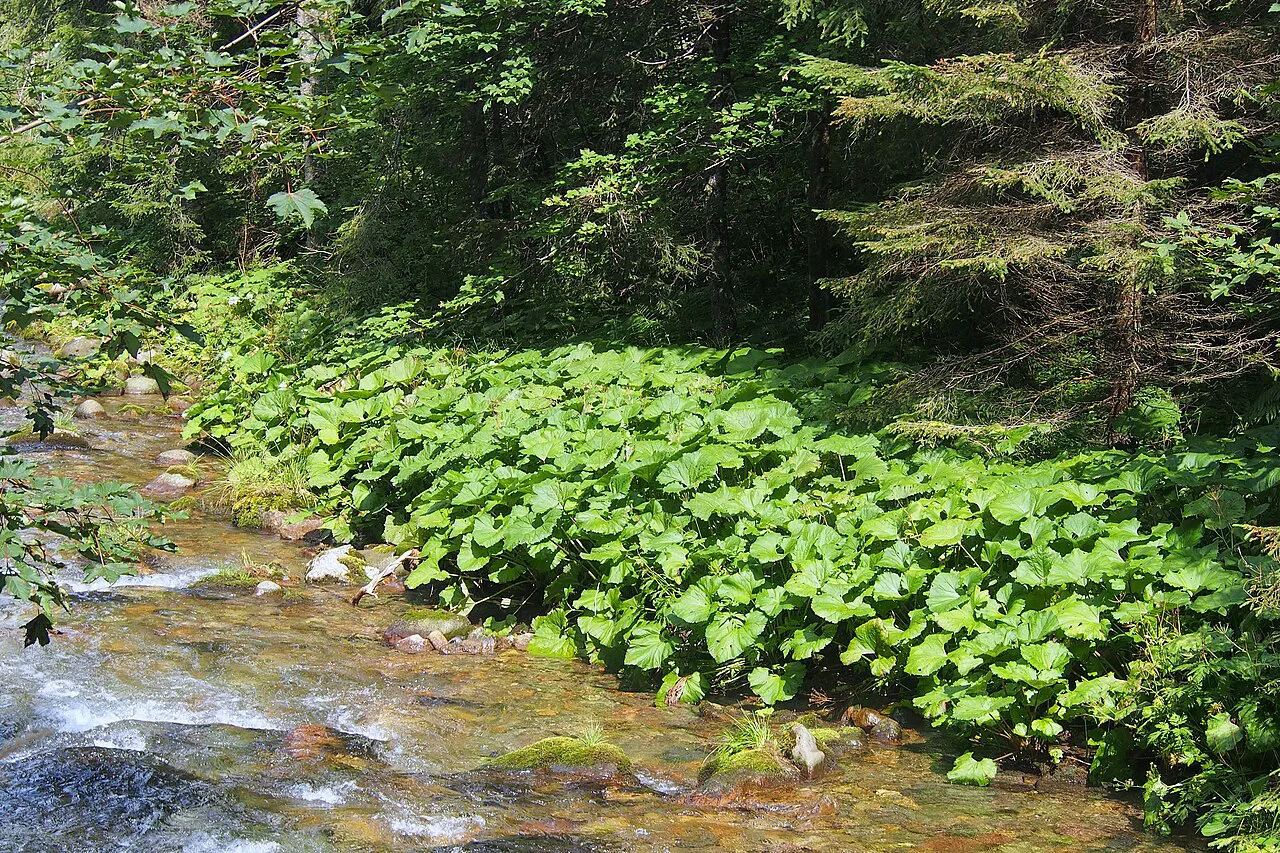
The path leaves Kiry beside the stream and soon passes through Niżna Kościeliska Brama, also called the Kantak Gate, a narrow limestone doorway that marks the real start of the valley. Beyond it the valley opens into the broad Wyżnia Kira Miętusia clearing, where sheep are grazed in season and you can buy sheep's-milk cheese and żętyca from the huts. Watch where the trails split here: a black route climbs to Przysłop Miętusi and a red one heads over Adamica toward Czerwone Wierchy, while the valley trail keeps straight for the shelter.
Stare Kościeliska and the trail junctions
At Stare Kościeliska the valley once held mining and ironworks buildings, a forester's lodge and a small Zamoyski shelter; today only the foundation of a blast furnace remains, marked by a memorial board that heavy snow can bury. Just south of the clearing the trails branch again, with a black path to Mroźna Cave and a blue path toward Stoły Clearing. The Mroźna Cave path is closed in winter, while the Stoły branch is the one you take to reach Pośrednia Brama Kościeliska.
Pośrednia Brama Kościeliska and Polana Pisana
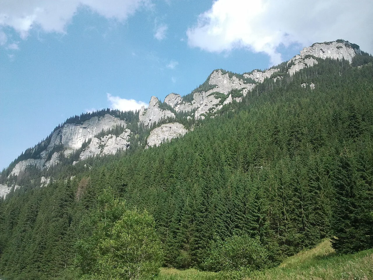
Past the second gate the path reaches Polana Pisana, a clearing of wooden benches and tables beside the stream, with Kominiarski Wierch rising above and the final stop of the horse carriages from Kiry. It is the natural rest point and the busiest part of the valley, so plan your cave detours from here rather than at the entrance. Mobile toilets are available along this stretch, and proper toilets wait at the hut at the top.
Wąwóz Kraków and the caves above the valley floor
Behind Polana Pisana a small wooden bridge leads to the mouth of Wąwóz Kraków, a mossy limestone gorge that ends at Smocza Jama cave and uses chains and a ladder on the way up. The gorge adds roughly 20 minutes up and 35 minutes back to the main trail, and children tend to rate it the highlight of the day; take a headlamp if you intend to step inside Smocza Jama. Caves such as Raptawicka, Obłazkowa and Mylna branch off near Wyżnia Kościeliska Brama, where the valley widens into glacier-smoothed ground, and their steep approaches make them a poor choice in winter.
The final stretch to the PTTK shelter on Hala Ornak
Above the cave junctions the path continues along the valley floor, passing Wincenty Pol Cross and the mouth of Smytna Valley, where avalanche debris can lie after heavy snowfall. After a further 10 to 15 minutes a trail splits off to Smreczyński Pond while the yellow valley path runs straight to the PTTK Shelter on Hala Ornak in a few minutes. The shelter sits on Mała Polanka Ornaczańska, just above the 1,100 m (3,609 ft) contour, and makes a good lunch stop with benches outside and views up to the crags.
Smreczyński Pond side trip
From the split near the shelter, a black trail climbs to Smreczyński Pond in about 30 minutes, with 25 minutes back down, and the path is noticeably steeper than anything on the valley floor. The pond is small, clear and photogenic, a good reward for a short, sharp effort, but the climb is not accessible to strollers. Take it as an addition at the end of the walk rather than a separate outing, and save energy for the descent.
Caves in the valley: Mroźna, Mylna and Raptawicka
Mroźna Cave is the ticketed cave of the valley, open from late April to the end of October, roughly 9 am to 5 pm; tickets can be bought at the valley entrance, online or at the cave itself, where cash is the practical option because mobile coverage is unreliable. Its corridors run 773 m (2,536 ft), of which about 500 m (1,640 ft) is open to visitors, and the constant temperature below 10°C means warm clothes; allow 30 to 40 minutes inside and roughly 30 minutes each way for the approach.
Mylna and Raptawicka caves are free to enter, and the detour to them takes an extra 40 minutes; both need a headlamp, both are cold and muddy, and some passages are so low that you will take off a large pack. Carry a proper torch rather than relying on a phone. The caves close in winter, along with the Tomanowa Valley route toward Czerwone Wierchy, but the valley floor path stays open.
Getting there without a car
Buses run from Zakopane to Kiry and onward to Witów, Chochołów and Czarny Dunajec, making a car-free day straightforward if you base yourself in Zakopane. Horse carriages and, in winter, sleds run from Kiry to Polana Pisana, covering about two-thirds of the route and taking four to five people per carriage; fees are agreed individually with the carriage owners, so ask before you board. The carriage shortens the walk but skips the first gates and the lower valley, which are worth seeing on foot in at least one direction.
When to go
The valley is at its best from late spring through early autumn, when the huts are open, the stream runs full and the caves are accessible. Mroźna Cave sets a rough boundary for the season: its doors open in late April and close at the end of October, so a spring or autumn visit can combine the valley floor with the cave. On the valley floor itself you can walk in winter, but daylight is short, so take a torch and wear footwear with grip for packed snow and ice.
Huts and facilities on the route
The PTTK Shelter on Hala Ornak marks the end of the walk and serves as a lunch and rest stop, with benches outside looking back toward Koscieliska's cliffs. Mobile toilets are placed near the valley entrance and halfway up, and proper toilets are at the hut. Water comes from the hut and the stream, though the stream is not treated and is best for cooling off rather than drinking.
What to wear and mountain hazards
The main path is wide and gently graded but largely unshaded, so a hat, sunscreen and a litre or two of water matter more than boots with stiff soles; trainers with grip are fine in dry weather. Winter brings packed snow and ice on the valley floor, and the steep cave approaches and the Tomanowa Valley route close for the season. The Wąwóz Kraków gorge adds chains and a ladder, and snow can linger on its ledges into spring, so treat it as a scrambling detour rather than a stroll.
Where to base yourself
Zakopane is the obvious base, with buses to Kiry and a range of places to stay, and Kościelisko is even closer by road if you want to walk to the valley entrance. Staying in Zakopane also gives you a fallback: on a wet day the valley is better sheltered than the ridges, while on a clear day the higher routes in the High Tatras open up. For a serious ridge day on the Polish side, read up on orla perc before committing to it, because that route is exposed scrambling rather than a valley walk.
Plan Your Dolina Kościeliska Day
Build your day around the 5.5 km (3.4 mi) valley walk with 273 m (896 ft) of ascent and a 1 hour 40 minute one-way time, then choose your extras: the Mroźna Cave, the Wąwóz Kraków gorge, the free caves above the valley floor or the Smreczyński Pond climb. Leave early, carry cash for the national park entrance and the cave ticket options, and keep a torch in your pack for any cave visit. Confirm the cave season and opening hours with Tatra National Park before setting out.
Frequently Asked Questions
How long is the Dolina Kościeliska hike?
It is 5.5 km (3.4 mi) one way from Kiry to the PTTK shelter on Hala Ornak, with 273 m (896 ft) of ascent and about 1 hour 40 minutes of walking. Most hikers take 90 minutes up and 90 minutes down, and side trips to caves, the gorge or Smreczyński Pond add more time.
How do you get to Dolina Kościeliska from Zakopane?
Take a bus toward Kiry, Witów, Chochołów or Czarny Dunajec, or drive about 7 km (4.3 mi) from Zakopane in roughly ten minutes. Paid car parks sit at the Kiry entrance, and the national park gate charges an entrance fee on site.
Is Dolina Kościeliska suitable for children and strollers?
Yes for the main valley path, which is wide, gently graded and open to strollers with larger wheels, though the surface is bumpy. The caves, the Wąwóz Kraków gorge and the steep Smreczyński Pond trail are not stroller-accessible.
When is Mroźna Cave open?
The cave opens in late April and closes at the end of October, roughly 9 am to 5 pm. Tickets can be bought at the valley entrance, online or at the cave, where cash is useful, and you need warm clothes and a torch for the cold, unlit corridors. Check current dates and hours with Tatra National Park.
Can you hike Dolina Kościeliska in winter?
The valley floor path stays open, but the caves, the Tomanowa Valley route toward Czerwone Wierchy and the steep cave approaches close for the season. Expect packed snow and ice, short daylight, and a need for a torch and grippy footwear.
Sources
Trail notes for your next trip
Optional updates when we add or revise hiking guides.
You might also like
Continue reading
More guides you'll find useful