Lauterbrunnen Valley Hike: Which Trail to Choose
Plan a Lauterbrunnen Valley hike: the flat valley-floor path past Staubbach and Trümmelbach falls, plus terrace trails at Mürren, Wengen and Isenfluh.
On this page
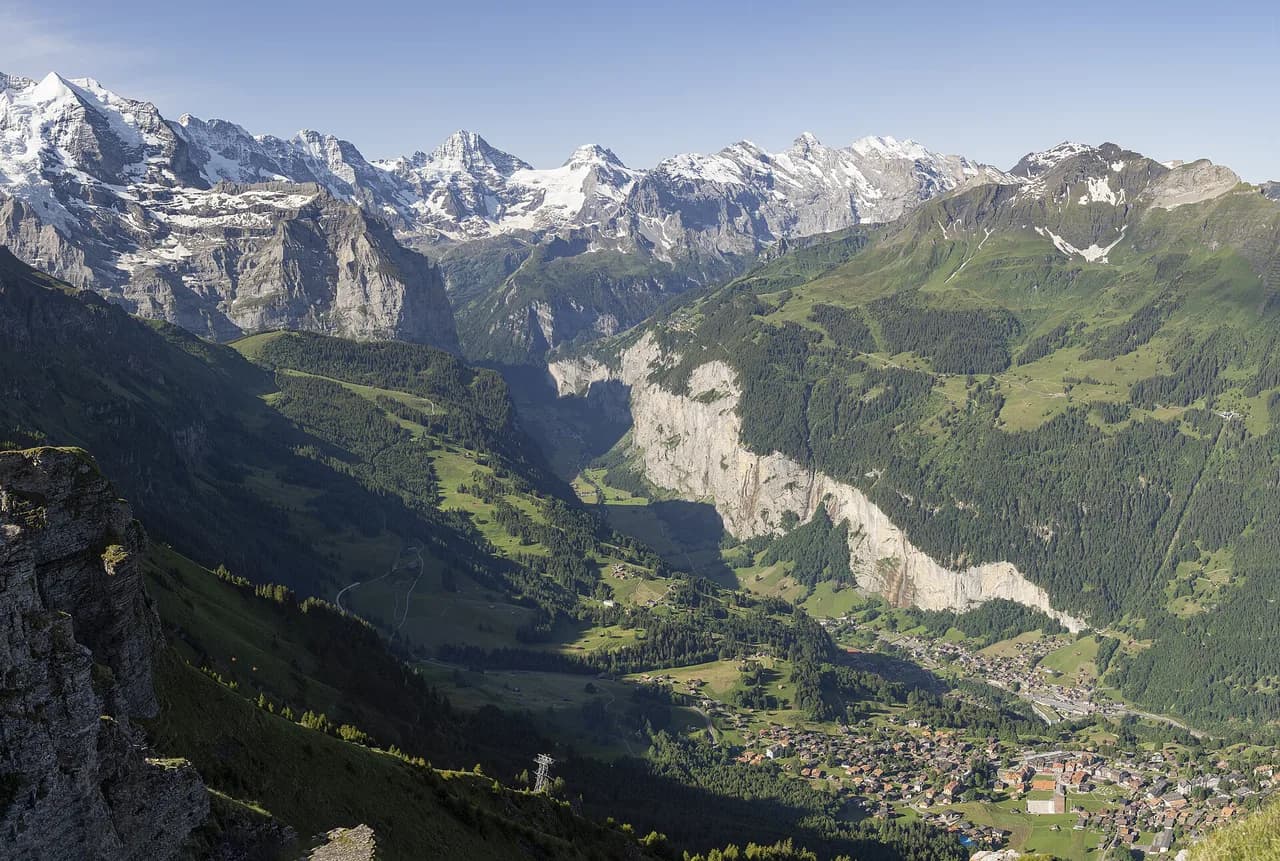
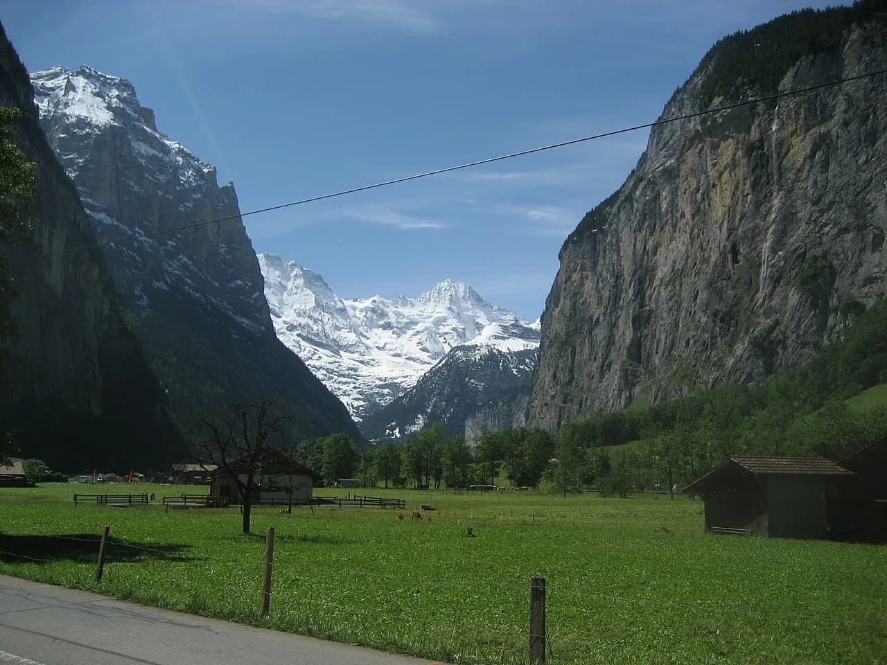
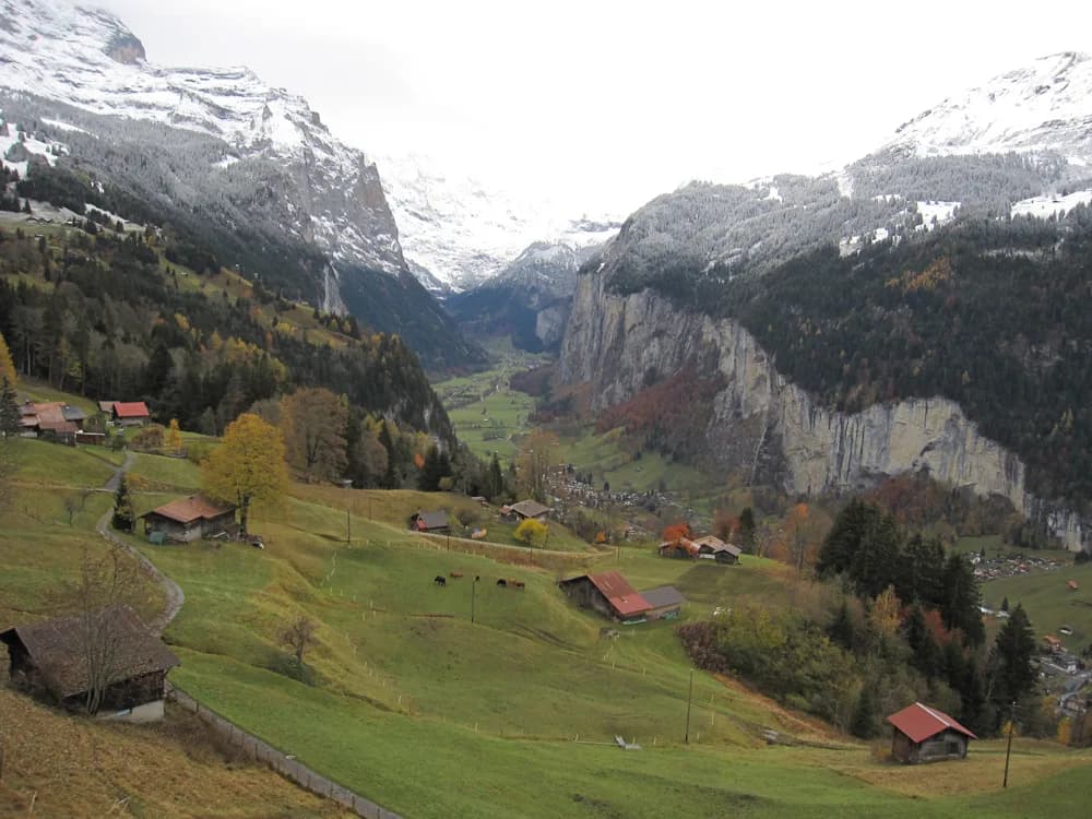
The Lauterbrunnen Valley runs south from the village of Lauterbrunnen to Stechelberg, a deep trough of limestone cliffs with waterfalls pouring off both walls and the Lütschine river threading the bottom. A Lauterbrunnen Valley hike can mean a near-level walk on the floor, a balcony traverse on the sunny terrace at Mürren, or a short climb from Wengen to a quiet viewpoint. This guide separates those layers so you can match a route to your legs, your base village and the weather on the day.
Nearly everything is reached by train or cable car, which turns steep terrain into a choice rather than an obligation. You can ride up to the terraces and walk the contour lines, or stay low and still pass three named waterfalls. The one constant is that the valley walls are abrupt, so any route that leaves the floor climbs steadily.
Valley layout: floor path and high terraces
Picture two parallel worlds. The valley floor is a green trough with a river, meadows, scattered farm buildings and the main road, all between roughly 800 and 800 metres (2,600 ft) of altitude, so a walk from the village toward Stechelberg barely gains height. Above it, the west terrace holds Wengen and the east terrace holds Mürren and Gimmelwald on the far side of the valley, with Isenfluh on a side shelf to the northwest.
That split is the single most useful planning decision. If you want distance without climbing, stay on the floor path and use the bus to shorten it. If you want big views into the valley and across to the Eiger, Mönch and Jungfrau, base on a terrace and walk the near-level balconies, then let a lift do the descent or the return.
The valley floor walk: distance, ascent and time
The classic valley-floor route runs from Lauterbrunnen to Stechelberg, an easy walk of about 7 km (4.3 miles) one way that takes around 2 hours and climbs roughly 140 m (460 ft) while dropping about 20 m (65 ft). It is the best option in the valley for anyone who wants a full day out without a sustained climb, and it stays open in spirit for families and casual walkers because the grade is gentle.
Treat the time as walking time, not day time. Waterfall stops, a riverside lunch and the inevitable photo pauses along the cliff walls easily add an hour or more. If you want the full one-way walk with time to spare, start in the morning so the afternoon light stays on the east wall.
Route description: waterfalls and gravel on the floor
From the village, the path heads south with Staubbach Falls dropping about 300 m (about 980 ft) off the west wall almost directly above you, among the highest single drops in Switzerland. Continue south and the Mürrenbachfall comes down the opposite wall, then the path reaches Trümmelbach Falls, where the meltwater of the Eiger, Mönch and Jungfrau glaciers cuts through the rock inside the mountain as a subterranean torrent rather than a free-falling ribbon.
The surface changes as you go. Much of the valley route is paved and easy underfoot, but the final stretch toward Stechelberg turns to gravel, so trail shoes are more comfortable than road runners and a stroller will struggle. There is no exposure on this route; the main hazards are the passing bus traffic near the road and the cold spray that makes the path slick close to the falls.
Waterfalls as stops: Staubbach and Trümmelbach
Staubbach Falls is the short add-on: a path climbs from the village to the base of the fall, gaining around 117 m (384 ft) in about 600 m (0.4 miles) of walking, and it is often given 45 minutes return with time at the viewpoint. The trail crosses small wooden bridges through meadows, and the reward is the cool air and the look straight up the drop.
Trümmelbach Falls sits further down the valley and is a stop rather than a climb, so it slots neatly into the floor walk without adding much height. Give it real time: the visit is inside the rock, with galleries and stairs, and it pulls crowds at midday in summer. Go early or late in the day, or use it as the turning point of the walk.
Getting back: PostAuto bus and the terrace lifts
The simplest one-way plan is to walk south and ride back. The PostAuto bus from Stechelberg to Lauterbrunnen takes about 18 minutes and costs roughly 2 to 4 Swiss francs, which makes a one-way floor walk practical without retracing your steps. Pay attention to the last departure if you linger at the waterfalls late in the afternoon.
To get onto the terraces without walking up, the east side runs from the Lauterbrunnen station area by cable car to Grütschalp and then the mountain railway to Mürren, while Wengen is reached by the rack railway from Lauterbrunnen. Both are car-free villages, so the lifts and trains are how you arrive as well as how you start a hike. Keep the railway map with you and you can link a valley-floor morning with a terrace afternoon in one day.
Wengen to Leiterhorn: a short viewpoint loop
Above the village of Wengen, the Leiterhorn loop is about 3 miles (roughly 5 km) with around 866 ft (about 264 m) of gain, moderate in grade because the trail climbs steeply out of town before easing to the lookout. The viewpoint gives you the classic view down the Lauterbrunnen Valley toward Interlaken, with the Eiger, Mönch and Jungfrau above on a clear day. Plan on roughly 1.5 to 2 hours if you carry a picnic.
Route finding is the only real trick. Junction signs in and above Wengen do not always name Leiterhorn, so follow the signs toward Männlichen until a junction clearly points to Leiterhorn, then take the lower road. Expect a mix of paved lanes, forest road and narrow single track that is rocky and rooty in places, plus an electric fence around the picnic areas, which keeps the cows out rather than hikers.
This is a good cloud-day choice. When the high peaks are hidden, the valley view from Leiterhorn still works, and the trail sees far fewer people than the Männlichen panorama routes. There is no water or public toilet on the way, so fill bottles in Wengen, and keep an eye on the weather because the return leg crosses open pasture.
Mürren to Grütschalp via Winteregg
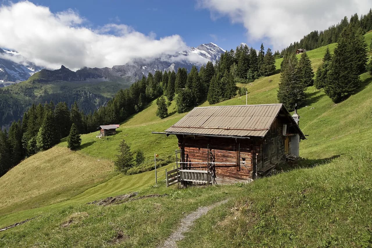
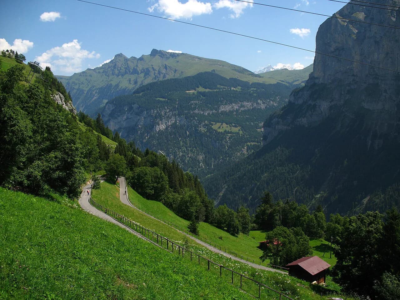
The gentlest terrace walk is from Mürren to Grütschalp, roughly 4.5 km (2.8 miles) with only about 60 m (200 ft) of gain and often given an hour or a little more. The path starts beside the Mürren railway station, passes through the hamlet of Winteregg and descends to Grütschalp beside the line, with alpine meadows, streams and a continuous wall of Eiger, Mönch and Jungfrau across the valley.
It works in either direction, and riding the railway up to Mürren first lets you walk the balcony and finish at the Grütschalp cable car. Add the neighboring traverses if you want a longer day on the same terrace, which you can plan through these Mürren hikes. A cheese dairy near Winteregg sells produce in summer, so keep small change for a mid-walk snack.
Because the route stays close to the railway, it is easy to bail out if weather turns or legs tire. The exposure is minimal, but the drop below the path is real, so keep children on the inside edge on the narrow sections.
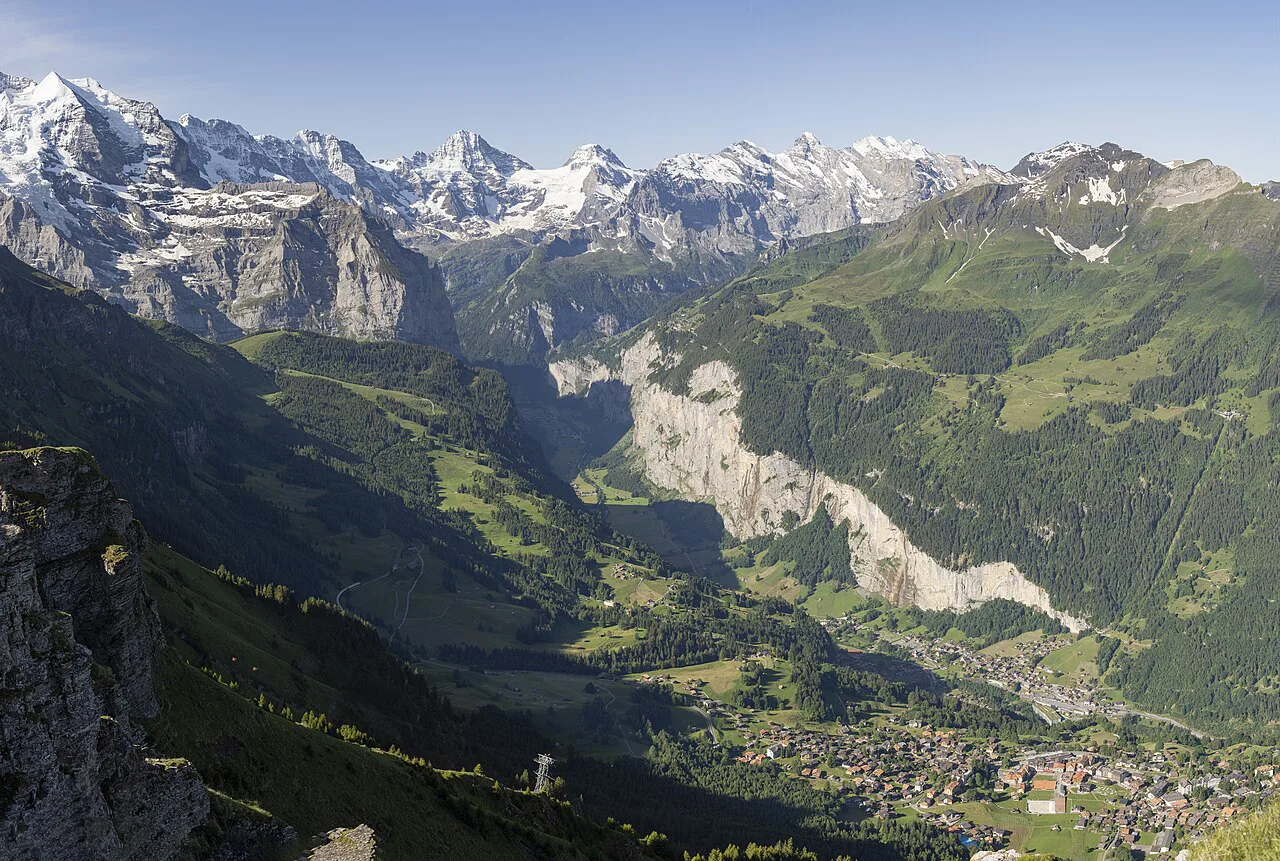
Gimmelwald and Mürren from the valley floor
The east-side link is a cable car from Stechelberg via Gimmelwald up to Mürren, which is the efficient way to combine the valley and the terrace in one day. Walk the floor south, ride up, then wander the village and pick a balcony path back toward Grütschalp. For a more committing contour route on that terrace, the North Face Trail Mürren keeps you above the valley for hours without hitting the valley floor.
Mürren itself is car-free, so the cable car and railway are the only arrivals. Keep the summit beyond the village in view as an option rather than a target: the full climb from Mürren to the Schilthorn summit is a 12.9 km (8 miles) route with around 1,600 m (5,250 ft) of gain, split between an easy stretch to Rotstockhütte and a steep, rocky push above it, usually given about 6 hours. Most hikers ride the cable car down or up.
Isenfluh and Sulwald: side-valley walking
Northwest of the main village, Isenfluh sits on a shelf above the valley and a small aerial cableway climbs from the village to Sulwald. From Sulwald, a trail contours through forest and rock toward Alp Chüebodmi and on toward the Lobhornhütte at 1,955 m (6,414 ft), with the Eiger, Mönch and Jungfrau across the valley. The panorama route is often quoted at about 3 km (1.9 miles) with some 500 m (1,640 ft) of gain and around 2 hours.
You can skip the cableway and walk up from Isenfluh instead, which adds about 2.2 km (1.4 miles) and roughly an hour of climbing past the Sulsbach waterfall. That makes the day more satisfying if you want the ascent on foot, and the ridge is quieter than the Mürren and Wengen balconies. The upper sections are exposed to afternoon storms, so start early enough to be off the open ground by mid-afternoon.
Männlichen and Kleine Scheidegg access
Above Wengen, the Männlichen ridge is reached by cable car, and the short Royal Walk from the top station is a 1.7 km (about 1 mile) round trip with around 120 m (390 ft) of gain, given 30 to 45 minutes and suitable for children. It delivers the wide Jungfrau panorama with almost no effort, which makes it the sensible choice on a short visit or a mixed-ability group.
From Männlichen you can also walk the panorama route toward Kleine Scheidegg, roughly 4.5 km (2.8 miles) and mostly flat, and return to Wengen by rack railway. The Wengen side, including the Leiterhorn and the connection to Kleine Scheidegg, is covered in more detail in the Kleine Scheidegg and Männlichen chapters of the hiking in Lauterbrunnen guide.
Routes beyond the Männlichen ridge toward Grindelwald and First, and everything around Interlaken, lie outside the Lauterbrunnen Valley itself and need their own transport planning. If you are weighing a base on the other side of the ridge, the Grindelwald hiking guide covers trails, lifts and difficulty there, and hiking in Interlaken does the same for the lower gateway town.
Tanzbödeli and Obersteinberg: the long, steep day
The biggest single day in the valley is the Tanzbödeli and Obersteinberg circuit from Gimmelwald, roughly 13.9 km (8.6 miles) with about 1,100 m (3,600 ft) of gain, and often planned as six to seven hours with stops. The summit gives a 360-degree view of the Jungfrau region that is hard to match lower down, and the Obersteinberg hotel offers a lunch or drink stop below the high point.
The trail is dirt and rocky steps rather than true scrambling, with clambering in places but no severe drop-offs, so the difficulty is fitness and thin air rather than technique. That still means a real climb: start early, carry water, and be ready to turn around if the weather closes in, because the open upper ground gives little shelter.
Via ferrata from Mürren to Gimmelwald
The protected route from Mürren down to Gimmelwald is a via ferrata in the strict sense, with ladders and steps on a cliff face above a sheer drop into the valley, roughly 2.2 km (1.4 miles) with around 300 m (1,000 ft) of gain and about 2 hours, though the exposure, not the distance, defines the day. You clip into a cable for the whole traverse, so a harness, helmet and lanyard are essential.
Rent or buy the kit near the Mürren station: the sports chalet and Intersport are about 10 minutes' walk past the hotel on the way out of the village. Beginners can manage the climbing on a calm day, but the sense of height is real, so a guide is the sensible choice if you are new to exposure. Full route detail, grades and gear are in the separate Lauterbrunnen via ferrata guide.
Treat it as a mountain day rather than a stroll: check the weather for wind and thunderstorms, go early, and expect the cliff face to be cold and slippery after rain. A guide removes the route-finding uncertainty on a wall where mistakes are costly.
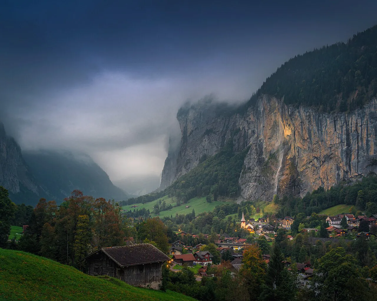
Getting to the trailheads by train, bus and lift
Most visitors arrive via Interlaken, with the train to Lauterbrunnen taking about 45 minutes and a change at the village for the Wengen rack railway or the cable car toward Grütschalp. From the village, local buses run up and down the valley floor, and the Stechelberg cable car climbs to Gimmelwald and Mürren. Build the return leg into the plan: the last lifts and trains define your day, and times change with the season.
Lift operating seasons and ticket prices are not fixed year to year, so check the Jungfrau Region operator's site before you buy. If you plan several days of lifts and trains, ask about a regional travel pass at the station rather than buying point to point.
When to go
The valley floor is a summer and early-autumn walk, with snow and ice rare at that altitude but cold spray and wet rock constant near the falls. The terraces at Wengen, Mürren and Isenfluh clear later in spring, and high routes such as Tanzbödeli and the Schilthorn climb can hold snow well into early summer. Aim for the period when the passes and upper trails are free of snow, typically from mid-summer onward, and go early in the day in the warm months.
Afternoon thunderstorms are the main seasonal hazard on the open balconies and the high ridges, so start early and keep a bail-out route to a lift or railway in mind. Late in the season, daylight shortens and hut and lift services wind down, so plan shorter days.
Where to base yourself
Lauterbrunnen puts the floor path, Staubbach and the bus at your door and is the best base for easy walking, but every terrace climb starts with a lift. Wengen is quiet and car-free, gives up the valley views, and puts the Leiterhorn and Männlichen access on foot; it suits a slower holiday with shorter hikes. Mürren is the balcony base for the Grütschalp traverse and the north face paths, and its higher perch gives the biggest views, at the cost of further travel to the valley floor.
If your plan is a mix of floor and terrace, split your stay rather than commuting: a couple of nights at Lauterbrunnen and a couple at Mürren or Wengen covers both layers with less lift riding each morning.
Huts and food on the routes
On the floor path, food stops cluster in and around the village and at Trümmelbach Falls, with the final stretch to Stechelberg thin on services. On the terraces, the railway and cableways make it easy to carry snacks from a village shop and eat at a viewpoint. The Obersteinberg hotel is the reliable meal stop on the Tanzbödeli circuit, and the Lobhornhütte serves the Isenfluh and Sulwald side.
Huts are alpine club and mountain-hotel operations rather than town restaurants, with short seasons and limited beds, so ask directly about opening dates and whether food runs to a set menu. Carry water for the exposed sections regardless, because the high routes have no reliable streams near the ridge.
Maps and route finding at junctions
Signposts in the valley are good but not complete for every destination, and the trickiest junctions are above Wengen and on the Isenfluh side. Carry a paper map from the tourist office along with a downloaded offline trail map, and read the junction signs twice rather than following the first arrow you like. The Lauterbrunnen visitor service publishes summer and winter trail maps that show routes and lift lines in one place.
Distances on signs are usually walking time, not kilometres, and that time assumes a steady pace with no photo stops. Add time for the climbs and for the narrow, rocky stretches, and use the lift network to shorten the return if the day is running long.
Plan Your Visit
Choose the floor walk for distance without climbing, the Wengen and Mürren balconies for the biggest views with modest effort, and the Tanzbödeli circuit or the via ferrata when you want a real day on your legs or a taste of exposure. Let the lifts and trains do the vertical work and the day opens up. Keep one eye on the afternoon weather and the last descent whatever you pick.
For a broader menu of routes, transport connections and base selection around the valley, use the hiking in lauterbrunnen planning pages before you commit to an itinerary.
Frequently Asked Questions
How long does the Lauterbrunnen valley floor hike take?
The walk from Lauterbrunnen to Stechelberg is about 7 km one way and usually given around 2 hours of walking, with roughly 140 m of ascent. Waterfall stops, a lunch break and photo pauses add time, so plan a half-day and take the watch seriously if you want the last bus back from Stechelberg.
Can you hike the Lauterbrunnen Valley without climbing?
Yes. The valley floor path from Lauterbrunnen toward Stechelberg is almost level, with only about 140 m of total ascent over the full distance. The climbs begin when you leave the floor for the terraces at Wengen, Mürren or Isenfluh, so stay low and use the bus for a return.
How do you reach the Mürren and Wengen trails without walking up?
Wengen is reached by rack railway from Lauterbrunnen, and Mürren by cable car from Stechelberg via Gimmelwald or by cable car toward Grütschalp followed by the mountain railway. Both villages are car-free, so trains and lifts are the way in. Check the current operating times with the lift operator before relying on a late return.
Which Lauterbrunnen hike has the best views of the valley?
The Wengen to Leiterhorn loop reaches a quiet viewpoint that opens up the whole valley toward Interlaken, and the Mürren to Grütschalp traverse looks straight across to the Eiger, Mönch and Jungfrau. For a full 360-degree panorama of the region, the steep Tanzbödeli circuit above Gimmelwald is the one to earn.
Is the Mürren to Gimmelwald via ferrata suitable for beginners?
It is a real protected climb on a cliff face with ladders and steps above a long drop, so it suits hikers who are comfortable with exposure. The climbing is not technically hard, but if heights unsettle you, take a guide or choose the ordinary trail between the villages instead. You need proper via ferrata kit, which can be rented near the Mürren station.
How many days do you need in Lauterbrunnen for hiking?
Three to four days covers the valley floor walk and waterfall stops, one or two terrace days at Wengen and Mürren, and either the Isenfluh side trip or the long Tanzbödeli day. Add a day if you want the summit route or the via ferrata without rushing. Base yourself in two villages if you want both the floor and the balconies.
Sources
Trail notes for your next trip
Optional updates when we add or revise hiking guides.
You might also like
Continue reading
More guides you'll find useful