North Face Trail Mürren: Route and Lauterbrunnen Access
Walk the North Face Trail from Mürren beneath the Eiger, Mönch and Jungfrau. Distance, ascent, Allmendhubel access, route landmarks and the best months.
On this page
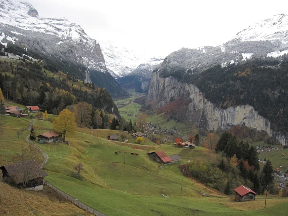
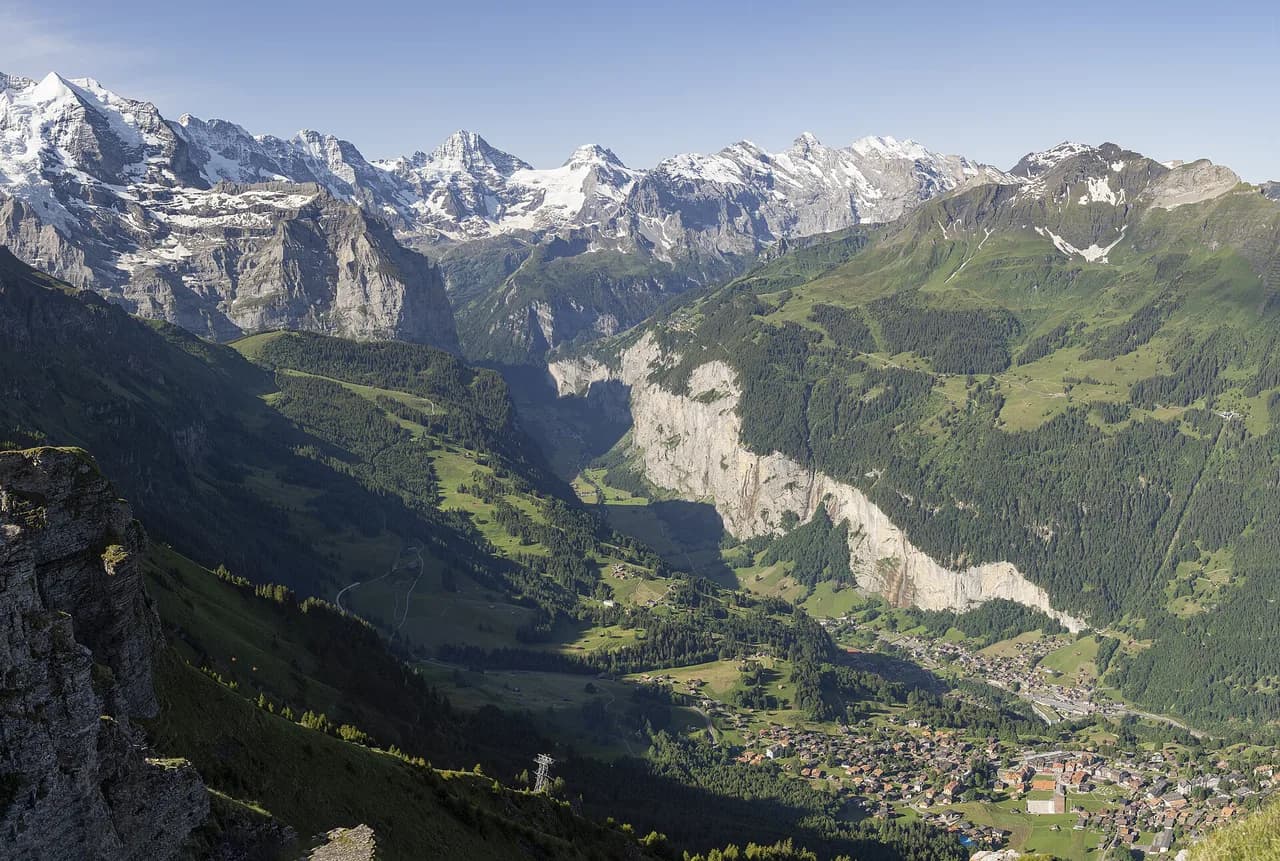
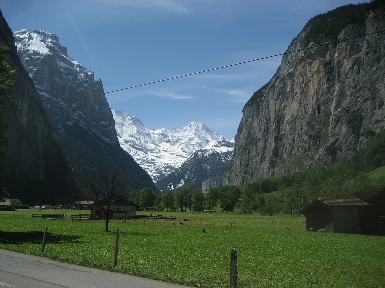
The North Face Trail is a balcony loop on the north side of the Lauterbrunnen valley, trading across wildflower meadows, streams and farm tracks directly below the rock walls of the Eiger, Mönch and Jungfrau. It suits hikers who want a half-day of steady ups and downs with huge views, not a summit push or a technical scramble.
Mürren, a car-free village on a shelf above the valley, is the base for the whole route, and the walk can be started either from the Allmendhubel funicular station or from the Schilthornbahn station in the village. Because the loop faces north, the meadows hold snow later than sunnier routes on the other side of the valley, so timing matters more than the modest altitude suggests.
What the North Face Trail delivers and who it suits
This is a landscape walk rather than a summit day: the payoff is the vertical rock architecture of the Bernese north faces and the meadow-and-farm foreground beneath them. The path rises and falls through pastures, passes a mountain stream and crosses under the Schilthorn cable line, so you get constant changes of angle without any sustained climb.
It suits hikers of average fitness who are comfortable on narrow farm tracks and short steep pitches and who can keep moving for a full morning or afternoon. Families walk it with children, and the playground and farm stops along the way break up the distance. If you want exposure, cables and iron rungs instead, the local via ferrata is a separate outing; the hiking in lauterbrunnen beyond Mürren, from valley-floor paths to the Kleine Scheidegg area, is the broader context for planning a week here.
Trailhead and lift access: Mürren, Allmendhubel and the Schilthornbahn
The classic start is at the top of the Allmendhubel funicular, the short steep railway that climbs from Mürren to the Allmendhubel terrace. Ride up and walk out from the station onto the signed paths, which the North Face Trail joins at a crossroads a few minutes above the top.
The loop is also described from the Schilthornbahn station in Mürren, where it begins and ends with roughly 6 km (3.7 miles) of walking, about 800 m (2,600 ft) of ascent and 80 m (260 ft) of descent. That ascent figure reflects the accumulated climbing of a trail that keeps rising and dropping across the meadow shoulders rather than one long climb.
Tickets, first and last lift times and the funicular's operating season are all published by the lift operator, so set your start time from the current timetable rather than from an old guide. If you start at the Schilthornbahn station instead of riding up to Allmendhubel, expect to walk the extra height rather than save it.
Distance, ascent and walking time
Plan on 6 km (3.7 miles) with about 800 m (2,600 ft) of climbing and 80 m (260 ft) of descending for the full loop as measured from the Schilthornbahn station, and budget around three hours of walking. A hiker who rode the funicular up and walked from Allmendhubel reports a good three hours on the trail itself before arriving back in the village.
Those two timings are not a contradiction: the village start adds the height gain to Allmendhubel, while the funicular start keeps most of the day at terrace level. Either way, the day is a half-day rather than a short stroll, so carry water and a layer for the wind on the open shoulders. Adding the Sprutz waterfall and Gimmelwald extension lengthens the day and adds the tougher stretches described below.
Route description: Allmendhubel to the north-face meadows
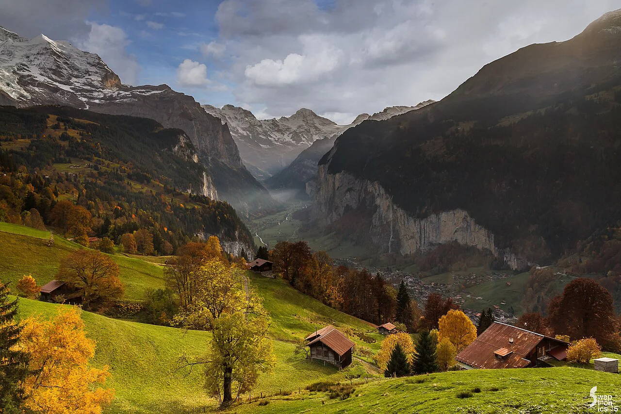
From the Allmendhubel station, the path crosses flowery slopes with the Eiger and Mönch filling the skyline ahead and grassy hills falling away in the opposite direction. A short detour on the Wildflower Trail circles the terrace, but the wildflowers along the North Face Trail itself are richer, so treat the terrace loop as a warm-up and keep your time for the main route.
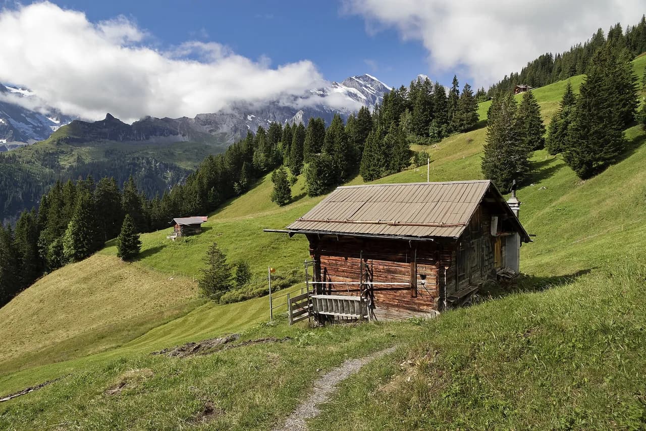
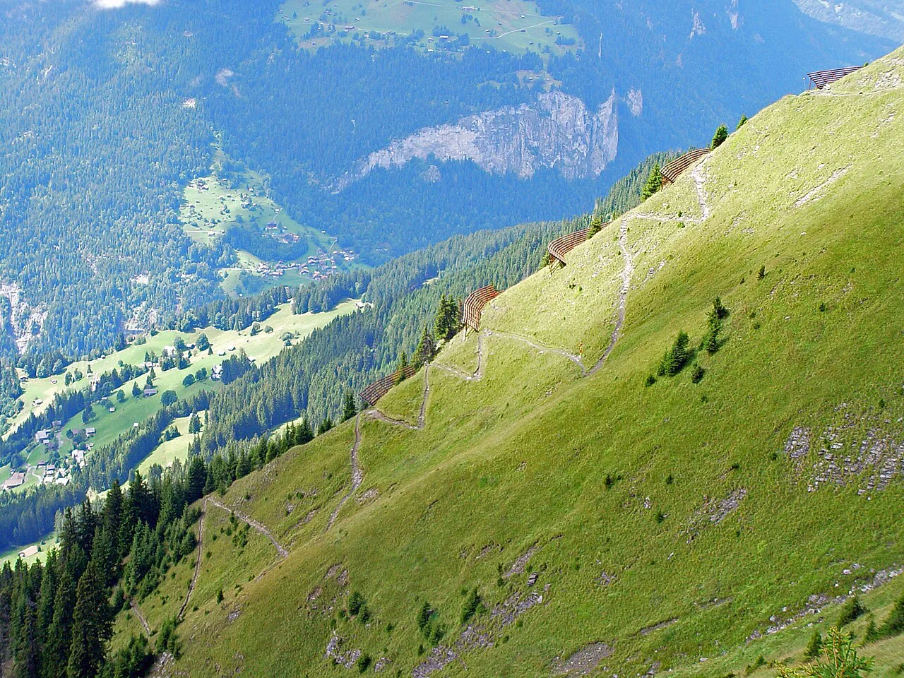
At the first signed crossroads the trail takes off across the countryside, climbing and dipping over meadow shoulders with wide views opening at each rise. You cross a burbling brook with a resting spot beside it and pass grazing cattle wearing large bells, with a children's playground set out on the open grass.
The route then passes directly beneath the cable line to the Schilthorn, whose cars hang on a thin thread of wire against the rock wall, before reaching a second crossroads where the trail continues in the same signed direction. Markers are painted in white and red, which makes navigation easy in clear weather as long as you watch for the turns where farm tracks branch off.
Route landmarks: Schilthorn cable line, farm café and streams
A farm turned café sits along the route with a garden of gnomes and cowbells hanging under the eaves, and it serves ice cream made on the farm. It makes an obvious rest stop, though the to-go portions are modest compared with the sundaes other walkers order.
After the café the trail drops into a valley with a stream running through it, crosses rolling green fields and passes another farm with bell-wearing cattle. From here the path turns back toward Mürren, passing rusty tin roofs and the line of the funicular climbing up to Allmendhubel before you re-enter the village.
For views higher up the same mountain, a ride on the Schilthornbahn toward the Piz Gloria summit station adds a completely different day to the loop. The Mürren Hikes collection sets out the other signed routes from the village if you want to pair the North Face Trail with a second day on the terrace.
The Sprutz waterfall and Gimmelwald extension
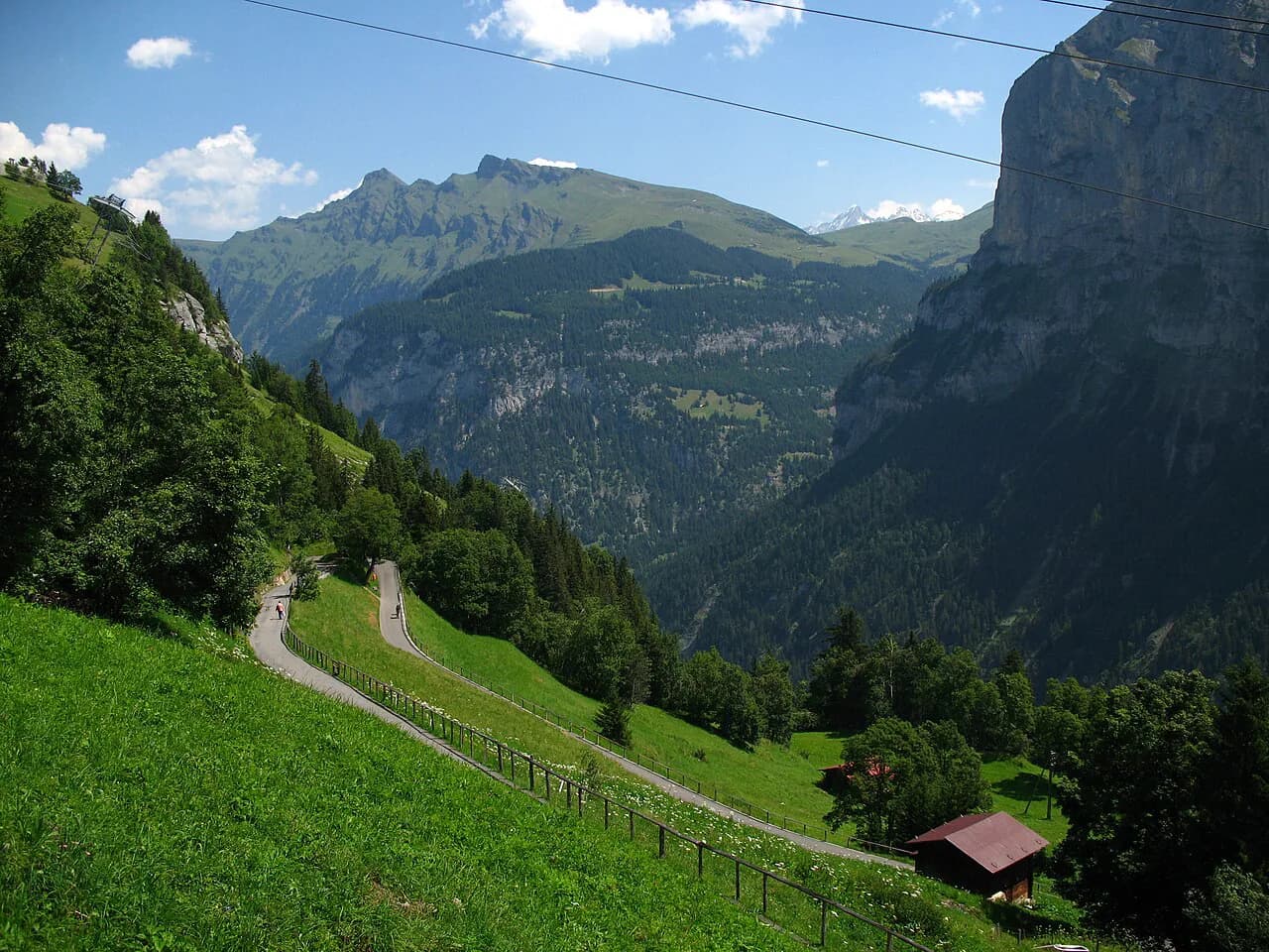
From the North Face Trail, walkers extend the day by continuing through Sprutz waterfall down to Gimmelwald, which turns the meadow loop into a longer descent. The route includes some tougher stretches, including steep ground beside the waterfall, so treat it as a step up from the standard circuit rather than a variant of the same effort.
Gimmelwald sits below Mürren on the same valley shelf, and the murren to gimmelwald hike is a natural continuation if you want a shorter day with one steep descent. From Gimmelwald the cable car returns you up to Mürren, which saves the climb back but commits you to the lift's schedule.
Wet rock near the waterfall is the main hazard on the extension, and the descent is hard on the knees, so poles help. In spring and after heavy rain, check the condition of the path by the falls before committing, since this is the section where the route is most affected by water.
Descent options back to Mürren
The standard loop returns you to the Allmendhubel funicular line just above Mürren, so you can walk the last stretch into the village on pavement or ride the funicular down. Walkers who started at the Schilthornbahn station simply close the loop there, with the village cafés and the cable car to Lauterbrunnen at hand.
If you extended to Gimmelwald, the return is by cable car up to Mürren or on foot up the same steep shelf. Either way, plan the end of the day around the last lift rather than around your legs.
When to go: snow, wildflowers and afternoon weather
The best window runs from the time the north-side meadows clear of snow in early summer through the wildflower weeks and into a settled autumn. Because the trail traverses a north-facing slope, snow lingers later here than on south-facing routes in the same valley, so a low snowline elsewhere does not guarantee a clear path above Mürren.
Summer afternoons bring thunderstorms on the Bernese Oberland ridges, and the open meadow shoulders offer little shelter, so an early start is the practical choice. The trail is not technically difficult, but exposed positions above the valley and wet grass on the steeper pitches deserve care.
Huts, farms and water on the route
There is no mountain hut on the circuit; the facilities are the farm café along the trail, the Allmendhubel terrace at the top of the funicular and the village of Mürren at the end. The farm café is the one place where you sit down mid-route, with ice cream and drinks rather than a full mountain menu.
Drinking water is not reliably available on the open meadows, so fill bottles in Mürren or at the Allmendhubel station before setting out. Streams cross the route but are not treated sources.
Getting to Mürren from Lauterbrunnen
Mürren is car-free, so the approach is by lift and rail from Lauterbrunnen: the cable car to Grütschalp, then the narrow-gauge railway along the shelf to Mürren, or the Schilthornbahn route up from the valley. Timetables and fares are published by the operating companies, and the valley hike options below give you a walking alternative on the valley floor.
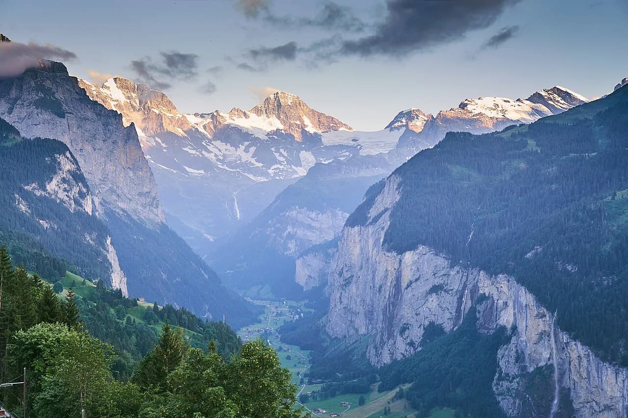
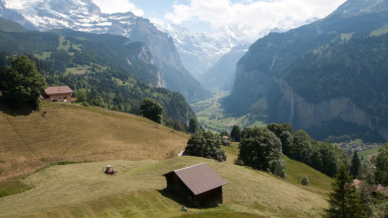
The Lauterbrunnen Valley hike passes Staubbach Falls on the valley floor and makes a good rest-day counterpart to the high meadow loop. If you are based in the valley rather than in Mürren, plan the North Face Trail as a full day out with the lift sequence at each end.
Practical rules, costs and mountain safety
Lift tickets, funicular times and any seasonal closures are set by the lift operator each year, so check them before you buy. There is no fee for walking the trail itself beyond the lifts you choose to use.
Cattle graze the meadows along the whole route, so give cows with calves room and keep dogs close and under control. On the steeper grass pitches, wet ground and the drop toward the valley are the real risks; the response is steady footing and poles rather than any technical gear.
If you want vertical ground with cables and exposure, the lauterbrunnen via ferrata is the local option, and the Sportchalet Mürren is the village base associated with guided mountain activity. The North Face Trail itself needs only boots and weather sense.
North Face Trail versus the Wildflower and Blumental panoramas
The Wildflower Trail at Allmendhubel is short, easy and view-heavy, making it a good warm-up or a choice for a tired afternoon. The North Face Trail takes longer and has more climbing, but the wildflowers along it are better and the views of the north faces more sustained.
The Blumental panorama, on the sunny side above Mürren, gives you a different angle on the same peaks and dries out earlier in the season. Choose the Blumental for an earlier-season walk and the North Face Trail for the fuller day under the rock walls.
Either way, the loop is best treated as the anchor of a few days in the Lauterbrunnen Valley rather than a one-off outing, with the valley floor and the higher lifts filling the rest of the itinerary. If you are weighing a second base in the region, hiking in Interlaken covers the routes and lift access around the lakes below.
Plan Your Visit
Start with the lift: decide whether you ride the Allmendhubel funicular and walk from the terrace, or walk from the Schilthornbahn station and take the climbing as it comes. Carry water and a wind layer, allow three hours on the trail, and set off in the morning before the afternoon build-up.
If you have the legs and the weather, extend through the Sprutz waterfall to Gimmelwald and ride the cable car back up. Otherwise, close the loop above Mürren, sit down at the farm café on the way, and keep the Blumental panorama for your second day.
Frequently Asked Questions
How long is the North Face Trail in Mürren?
The loop measures about 6 km (3.7 miles) when started from the Schilthornbahn station in Mürren, with roughly 800 m (2,600 ft) of accumulated ascent and 80 m (260 ft) of descent. Allow around three hours of walking, more if you stop at the farm café or take the Wildflower Trail detour at Allmendhubel.
Where does the North Face Trail start?
Most walkers ride the Allmendhubel funicular from Mürren and join the trail from the terrace at the top. The route is also signed and measured from the Schilthornbahn station in the village, which adds the climb up to Allmendhubel but closes the loop in the village itself.
Can you hike from Mürren to Gimmelwald on the North Face Trail?
Yes. An extension leaves the North Face Trail through the Sprutz waterfall and descends to Gimmelwald, which turns the meadow loop into a longer day with some steeper, rougher ground. From Gimmelwald the cable car returns you to Mürren.
What is the best time of year for the North Face Trail?
Go from early summer, once the north-facing meadows have cleared of snow, through the wildflower weeks and into settled autumn. The north side of the valley holds snow later than south-facing slopes, and summer afternoons bring thunderstorms, so start in the morning.
Do you need a permit or pay a fee for the North Face Trail?
There is no trail fee; the costs are the lifts you use, such as the Allmendhubel funicular or the Schilthornbahn, which publish current tickets and times. Cattle graze the whole route, so give cows with calves space and keep dogs under control.
Sources
Trail notes for your next trip
Optional updates when we add or revise hiking guides.
You might also like
Continue reading
More guides you'll find useful