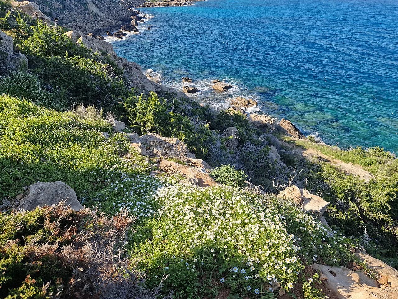
Artemis Trail, Troodos: Route, Distance and Trailhead
Walk the Artemis Trail on Mount Olympos in the Troodos Mountains: a 7 km (4.3 mi) forest circuit at 1,850 m with old black pines, views and an easy grade.
On this page
The Artemis Trail is the most straightforward high-mountain walk in the Troodos range: a 7 km (4.3 mi) circuit that loops around Chionistra, also called Mount Olympos, at 1,850 m (6,070 ft) without ever demanding a scramble. It suits half-day walkers, families with steady older children, and anyone who wants wide views over the Troodos ridges with a modest effort.
What makes the route worth the drive is the combination of ancient black pines, unusual geology and a genuine historical relic on a marked forest path. The grade stays easy almost the whole way round, with one short climb near the end, so this is a trail you can plan around a slow morning rather than a full day.
Where the Artemis Trail runs
The route rotates around Chionistra inside the Troodos National Forest Park, which forms part of the Natura 2000 network. Almost the entire circuit sits at roughly 1,850 m (6,070 ft), so you spend the walk above the tree line of the lower valleys, looking down on forested ridges in every direction.
Because the path circles a single massif rather than traversing a range, the terrain and views change gradually and the navigation is simple. For a wider picture of what else the range offers, the hiking in Cyprus guide maps the other trailheads and villages within reach of this one.
Trailhead and parking
The walk begins 300 m (330 yd) from the junction where the Chionistra road meets the Troodos–Prodromos road, at an altitude of 1,850 m. That junction is the practical landmark to aim for when driving up; the signed start sits a short walk along the Chionistra road from it.
Parking is roadside near the trailhead rather than in a dedicated lot, so arrive early in summer and at weekends when the Olympos area fills with day visitors. No bus, shuttle or lift is documented as serving the start, so treat this as a self-drive hike and plan your own transport up from the Troodos villages.
Distance, ascent and time
Plan on 7 km (4.3 mi) and 2.5–3 hours at a relaxed pace, which leaves room for the viewpoints and the pine forest. The route is graded easy, and the only sustained effort is a 200–300 m (220–330 yd) uphill stretch after the ski centre near the end.
The circuit gains and loses height gently as it wraps around the mountain, so the total ascent stays modest even though you are walking at altitude. Allow extra time if you are acclimatizing to 1,850 m or walking with children, and start early enough to finish before afternoon cloud builds.
Route description
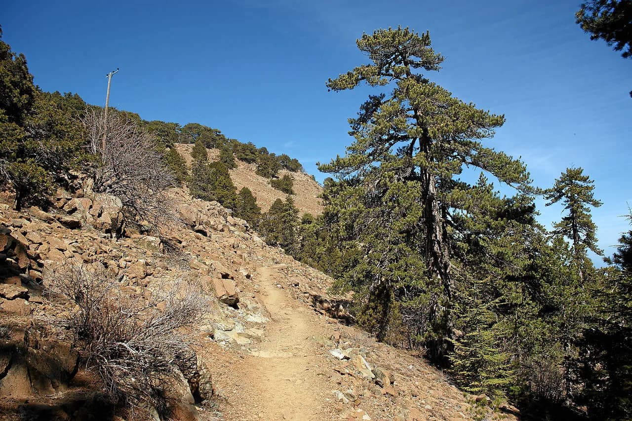
From the start the path runs through a forest of Pinus nigra, the black pine, and passes two of the longest-lived specimens in the area, estimated at around 500 years old. The forest floor shelters uncommon plants, including nepeta, teucrium, alison and chamomile, which are best left untouched and photographed from the path.
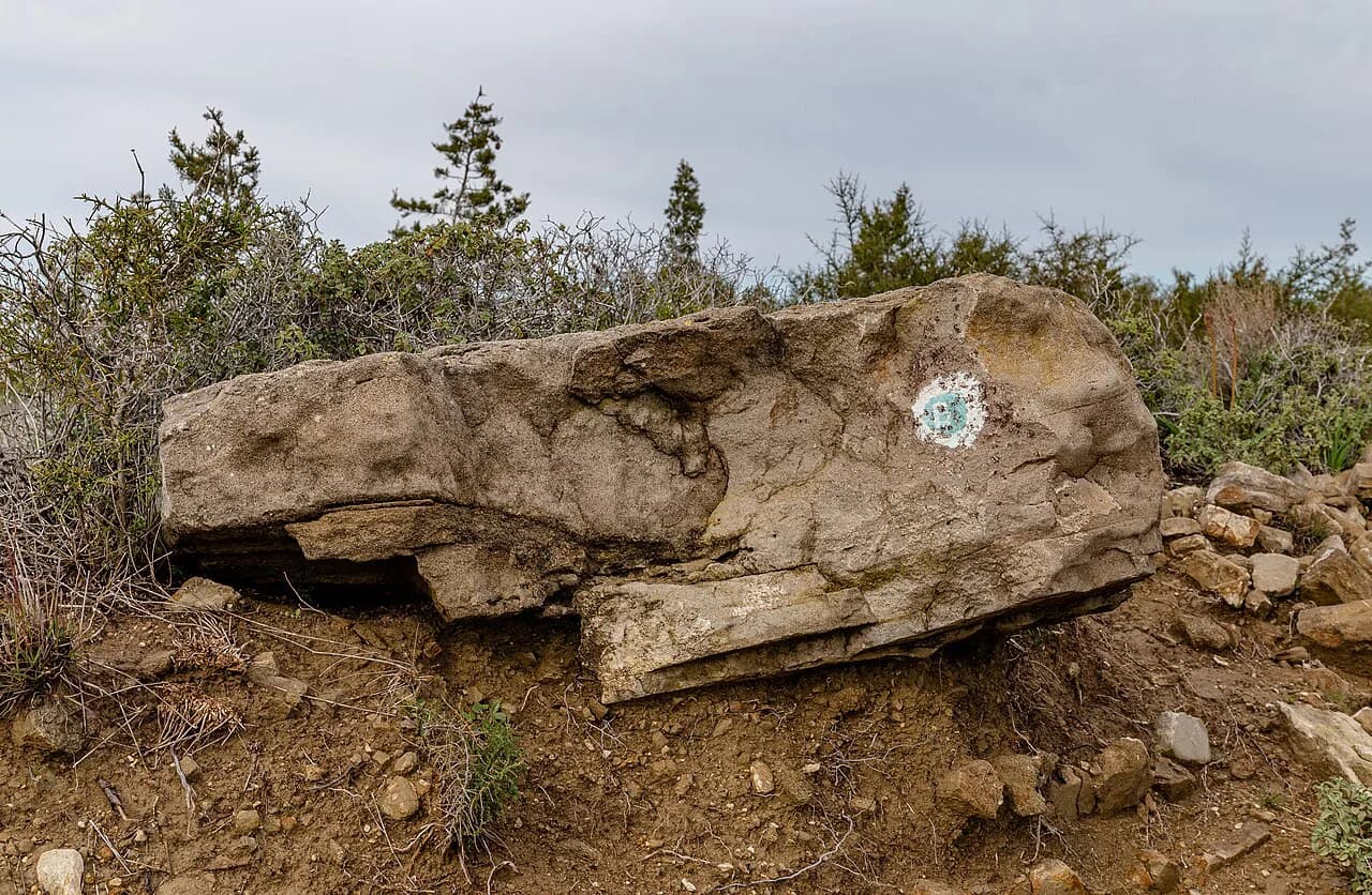
The circuit is also a geology walk: the ground exposes dunite, harzburgite and pyroxenite, the greenish ultramafic rocks that give the Troodos its distinctive character. Stay on the marked line, because the rare flora and fragile rock communities either side of the path do not recover quickly from trampling.
The Venetian fortification ruins
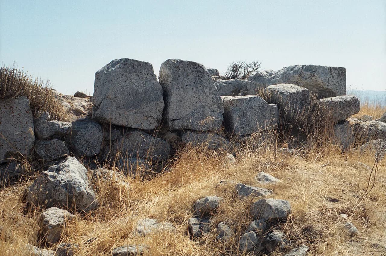
Partway round, the trail passes rough stone fortifications built in the final year of the Venetian occupation of Cyprus, in 1571. The Venetians raised them as a defensive position against the Ottomans, and the ruins are now a low wall of stones set into the mountain slope rather than a standing structure.
Look for the ruins where the path bends along the open shoulder of the mountain; they are easy to walk past if you are watching the view. There is no visitor infrastructure or interpretation panel at the site, so read up before you go if you want the history to land.
The final climb and the finish on the Atalanti Trail
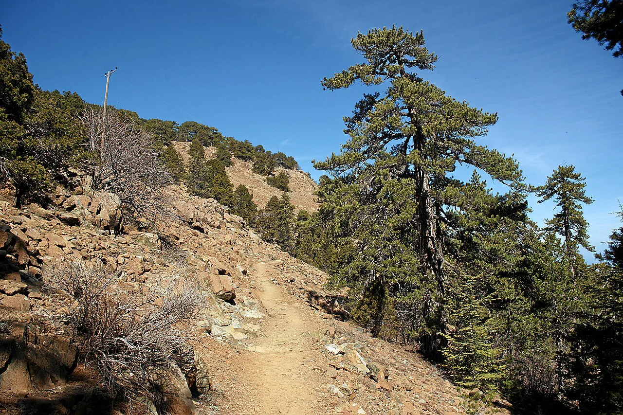
The one real effort comes near the end, after the ski centre, where the path turns uphill for 200–300 m (220–330 yd). Take it slowly at this altitude, and note that the climb is short enough that most walkers barely register it as a separate stage.
The circuit ends at a point on the Atalanti Trail rather than where it began, so work out your exit before you set off. You can retrace the last section to the trailhead or continue on the Atalanti for a longer day, which is the choice most walkers face at the junction.
Views over Limassol, Paphos and Nicosia districts
On clear days the open sections give panoramic views across the outskirts of the Limassol, Paphos and Nicosia districts, all framed by forested ridges. The best sightlines come where the path crosses open ground above the pines, so keep your camera handy rather than packed away.
Cloud can close in fast at this height, and when it does the views vanish within minutes while the path stays easy to follow. Treat the panorama as a bonus rather than the point of the walk and the circuit still works on a hazy day.
When to go
Late spring through early autumn is the most reliable window, when the upper forest roads are clear and the circuit is dry underfoot. At 1,850 m the mountain is cooler and breezier than the coast, so carry a layer even on a warm day down at Limassol.
Winter and early spring can bring snow and ice to the Olympos area around the ski centre, which changes the walk into something more serious. Check conditions in the Troodos before driving up, and turn to the lower trails around the villages if the high ground is white.
Combining the Artemis with the Atalanti and Kalidonia trails
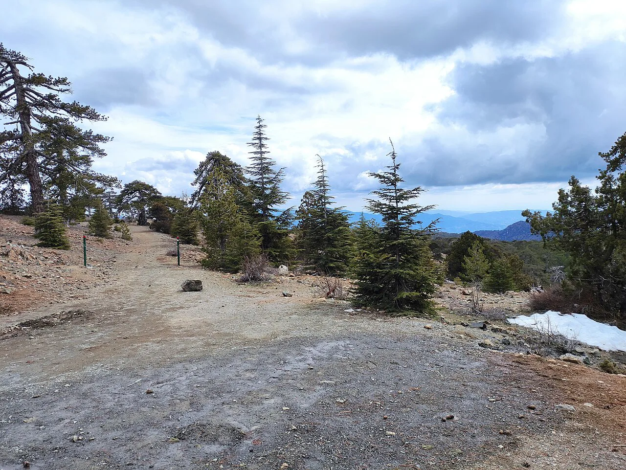
The Artemis is one of several marked nature trails in the Troodos, and the Atalanti is the natural extension because the two meet. The Kalidonia trail and the Kampos tou Livadiou route are the other obvious half-day options from the same high ground, giving you a choice of distance and shade.
If you are building a longer Troodos itinerary, the wider hiking guide for the island sets out how these circuits fit with coastal walks and village bases. Walking holidays in the Troodos typically pair a high forest circuit like this with lower valley routes on consecutive days.
What to carry on an exposed forest circuit
Bring water, a windproof layer and sun protection, because much of the circuit is exposed once you leave the densest pine cover. Fires and smoking are prohibited in the protected forest, and food should stay inside your pack so wildlife does not learn to approach walkers.
The Forestry Department takes fire reports on +357 22805511 or the 1407 emergency line, and any smoke you see should be reported immediately rather than investigated. Sturdy shoes are enough for the path itself, but the rocky ultramafic sections are slippery when wet.
Where to base yourself
The Troodos villages below the trailhead make the most sensible base, with Prodromos and the surrounding agrotourism hamlets within a short drive of the Chionistra road junction. Staying up in the mountains cuts the morning drive and lets you start the circuit before the day visitors arrive.
A coastal base in Limassol works for a day trip but adds a long climb by road each way, so weigh the convenience against the extra driving. If you are weighing alternative Mediterranean islands for a similar high-ground day, hiking in Malta offers its own coastal and country trails for comparison. Wherever you stay, the key planning decision is the drive up to 1,850 m, not the walk itself.
Plan Your Visit
The Artemis Trail is the Troodos circuit to choose when you want altitude, old pines and big views without a hard day: 7 km, 2.5–3 hours and one short climb near the ski centre. Drive to the junction of the Chionistra and Troodos–Prodromos roads, start early, and plan how you will leave the path where it meets the Atalanti.
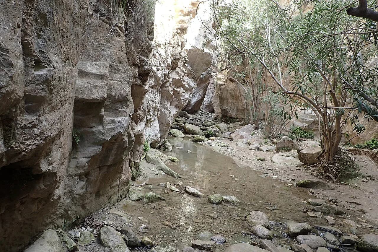
If you want a very different Cyprus walk on another day, the Avakas Gorge hike on the Akamas peninsula trades mountain forest for a limestone canyon. Between the two you get the island's high ground and its coastal drama in a single trip.
Frequently Asked Questions
How do I get to the Artemis Trail?
Drive to the junction of the Chionistra road and the Troodos–Prodromos road, where the signed start lies about 300 m along the Chionistra road at 1,850 m. Parking is roadside rather than in a dedicated lot, and no bus or lift is documented as serving the trailhead, so plan to arrive by car.
Where do you park for the Artemis Trail in Cyprus?
You park on the roadside near the signed start, a short distance from the Chionistra and Troodos–Prodromos road junction. Space is limited and the Olympos area gets busy in summer and at weekends, so an early start gives you the best chance of a spot.
How long does the Artemis Trail take?
Most walkers take 2.5–3 hours for the 7 km circuit at a relaxed pace, including stops at the viewpoints and the pine forest. Add time for the short climb after the ski centre and for photographs on the open sections.
How difficult is the Artemis Trail?
The route is graded easy, and the only real effort is a 200–300 m uphill stretch after the ski centre near the end. The altitude of 1,850 m makes the air thinner than on the coast, so walk steadily and carry water.
What can you see along the Artemis Trail?
Expect a black pine forest with trees around 500 years old, rare plants such as nepeta and teucrium, and exposures of ultramafic rocks including dunite and harzburgite. The circuit also passes Venetian fortification ruins from 1571 and gives wide views over the Limassol, Paphos and Nicosia districts.
Which other Troodos trails can you combine with the Artemis Trail?
The circuit finishes on the Atalanti Trail, so you can continue on that path for a longer day or retrace your steps to the start. The Kalidonia trail and the Kampos tou Livadiou route are the other marked options on the same high ground.
Sources
Trail notes for your next trip
Optional updates when we add or revise hiking guides.
You might also like
Continue reading
More guides you'll find useful