Hiking in Cyprus: Troodos Peaks and Akamas Coast Trails
Plan hiking in Cyprus across the Troodos Mountains and Akamas Peninsula, with distances, ascent, walking times, seasons and how to reach the trailheads.
On this page
Cyprus squeezes two very different walking worlds into one island: the pine and cedar forests of the Troodos Mountains, rising to Mount Olympus (Chionistra) at 1,952 m (6,404 ft), and the wild limestone coast of the Akamas Peninsula in the west. You can walk a cool forest circuit in the morning and a sea-cliff path the next day without a long transfer, which is why a single week here gives real variety.
This guide is for hikers choosing routes by fitness, daylight and season rather than ticking off names. Each main trail comes with its distance, total ascent and walking time, the base that serves it, and the hazards that actually matter, from gorge rockfall to snow lingering on the high summits into spring.
Troodos forest and the Akamas coast: two walking regions
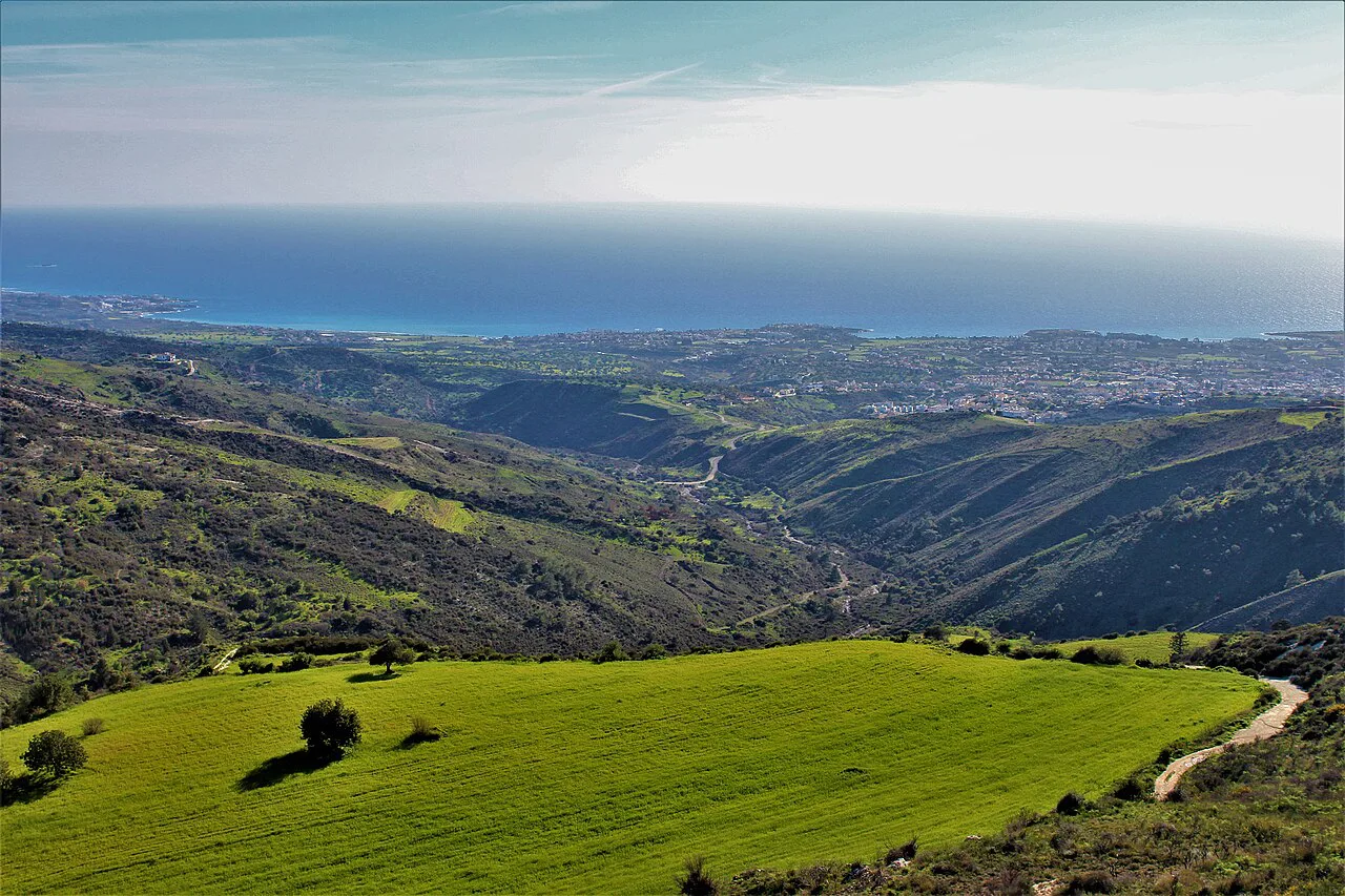
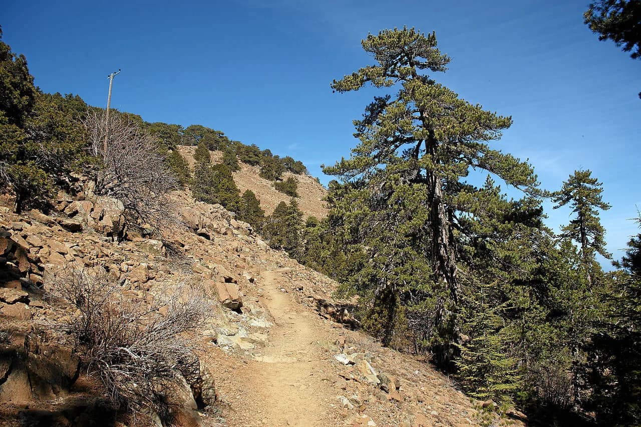
Troodos is the forested massif at the island's center, with black pine, cedar and cool air, and Mount Olympus as its high point. The named trails here are short, well marked and unusually varied, and the mountain villages make natural bases for several days of walking.
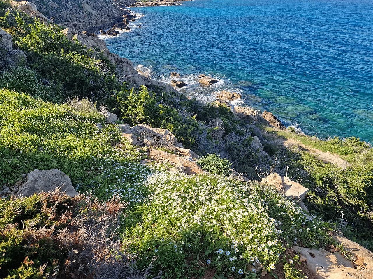
Akamas is the western headland of Cyprus, a protected coastal area of limestone gorges, juniper scrub and empty coves. Trails run above the sea and around the Baths of Aphrodite, and the ground stays walkable through the winter months when the interior is cold and wet.
Most good weeks combine both, with Paphos as the pivot between them. Paphos sits close to the Akamas trailheads and within driving distance of the Troodos foothills, so you can change region without changing hotel.
When to go: the October-to-May season
The walking season runs from October to May, the inverse of most of Europe's mountain calendar. March and April are the peak: wildflowers cover the hillsides, the coast is mild, and Troodos may still hold snow on the summit. If you are weighing islands, the same spring window shapes hiking in Crete, where the gorges open up as the snow clears.
June to September is too hot at low altitude, and low coastal walks should be treated as early-morning outings only. The pine forest above 1,400 m (4,593 ft) stays walkable early in the day through summer, which is where to head if you visit in the hot months. October and November bring a second good window, greener after the first rains.
Winter walking at lower elevations is viable, while the higher Troodos trails can be cold and wet. Build your itinerary around the coast in midwinter and around the forest in summer, and you avoid the worst of both.
Spring and autumn also bring smaller crowds on the popular loops, which matters on narrow gorge paths and at the Baths of Aphrodite car park. Aim for weekdays if your dates are flexible.
Troodos Mountains: circuits around Mount Olympus
The Artemis and Atalante trails circle Mount Olympus (Chionistra, 1,952 m / 6,404 ft), the island's high point, through ancient pine forest with panoramic views. Both are circular, so you return to the same trailhead without retracing your steps, and both start from the high Troodos road network near the summit.
The Artemis Trail is a relatively flat 7 km (4.3 mi) circular route, which makes it the most forgiving high-mountain walk on the island and a sensible first day while you acclimatize. The Atalante Trail also loops the mountain and is the better choice if you want more time on the ridge above the treeline.
The summit area itself is a TV transmitter and radar site closed to visitors, so plan the circuit as the objective rather than a push for the true top. The reward is the traverse, with long views over the forests and villages below, not the summit cairn.
Snow can lie on these trails into spring, and the high road can hold ice early in the day. Carry traction or choose a lower forest walk if a late cold snap is forecast, and check conditions with the Troodos National Forest Park visitor facilities before setting out.
Caledonia Waterfalls from Pano Platres
The Caledonia Falls trail follows a stream through dense Troodos forest to a cascade over mossy rock above Pano Platres. The shortest version is a 5.76 km (3.6 mi) loop with 240 m (787 ft) of ascent that takes about 1 hour 50 minutes and rates easy, which suits families and rest days.
A longer 13.3 km (8.3 mi) circuit adds the Pouziaris Peak with 640 m (2,100 ft) of ascent in roughly 4 hours 33 minutes, a moderate day for hikers with good fitness. An intermediate 11.9 km (7.4 mi) version links the falls with a viewpoint on the Pouziáris Trail, gaining 540 m (1,772 ft) in about 4 hours.
Pano Platres is the natural base, and the trailhead sits at the edge of the village, so you can walk from a guesthouse rather than drive. The stream crossings and polished rock near the falls are slippery when wet, so take care on the final approach.
Madari Ridge and Cedar Valley
Mount Adelphi is the second-highest point on Cyprus at 1,613 m (5,290 ft), and the walk to it along the Madari ridge is exposed and more spectacular than the Mount Olympus approach. Short stretches are strenuous and the track is stony, but the views run from the northern side of the island to the south, where Kyperounda clings to the opposite hillside.
From Spilia, a 17.5 km (10.9 mi) loop over Madari Peak and the fire lookout gains 780 m (2,559 ft) and takes about 5 hours 41 minutes, a hard day that needs very good fitness. A shorter 12.6 km (7.8 mi) version from Chandria gains 560 m (1,837 ft) in roughly 4 hours 5 minutes and rates moderate.
Cedar Valley to Mount Tripylos is the other classic in this part of Troodos, with splendid views and beautiful surroundings. The loop road into the valley has been asphalted, which makes access easier but means you share the early section with traffic; start early or out of season for quieter walking.
On the exposed ridge, afternoon cloud and wind arrive quickly, so an early start is worth the alarm. Carry water for the full ridge day, because the stony ground and sun make the 780 m (2,559 ft) of ascent feel longer than the distance suggests.
Akamas Peninsula: the Aphrodite Trail and the coast
The Aphrodite Trail loops the Akamas headland past the bathing pool legend gives to the goddess, with the sea flashing between junipers. The most popular version, from the Baths of Aphrodite, runs 7.87 km (4.9 mi) with 350 m (1,148 ft) of ascent and descent in about 3 hours 2 minutes, a moderate half-day.
A longer 12.5 km (7.8 mi) loop from the Chalavro marine protected area gains 410 m (1,345 ft) in roughly 4 hours 17 minutes and gives a quieter approach to the same headland views. Both routes are mostly on accessible paths but demand sure-footedness on the rocky sections.
The Fontana Amorosa coastal path runs from the Baths of Aphrodite out along the unspoiled west coast, and you can extend to Cape Arnauti at the island's western tip, an extra 3 km (1.9 mi) return, passing the wrecked freighter Agnello. The fountain itself is a 5 m (16 ft) deep well that you may not even find, so come for the coastal walking rather than the landmark.
Shade is scarce out here and there are no springs once you leave the forest, so carry more water than feels necessary. The ground stays walkable all winter, making Akamas the reliable choice when the mountains are cold and wet.
Avakas Gorge: short but slow
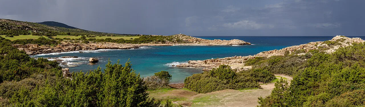
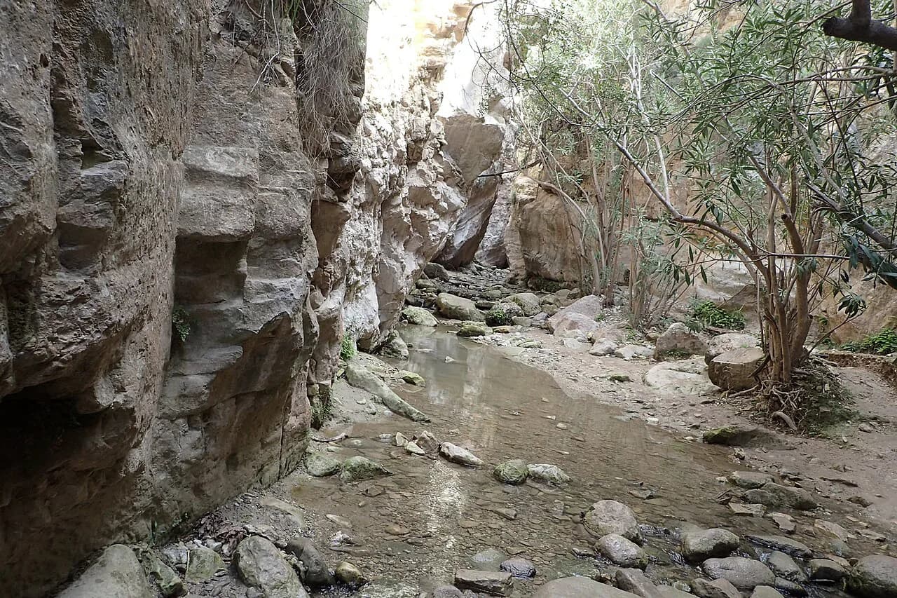
The Avakas Gorge is a limestone slot in the Akamas that narrows until the walls almost touch overhead, with a stream bed for a floor and wild goats on the ledges. Even the shortest 4.44 km (2.8 mi) loop from the gorge trailhead gains 130 m (427 ft) and takes about 1 hour 36 minutes, yet it is rated hard because of the footing.
A 7.67 km (4.8 mi) version with 210 m (689 ft) of ascent takes roughly 2 hours 41 minutes and keeps you in the gorge longer. Expect boulders, water-polished rock and sections where you pick your line rather than follow a path, so allow more time than the distance suggests.
Rockfall and rising water are the real hazards after rain, and a narrow slot leaves little room to step aside. Go in dry weather, wear sturdy shoes, and turn back if the stream is running high.
Cape Greco and the southeast coast
The Agia Napa to Cape Greco to Protaras walk takes in sandy beaches, quiet coves, a radar-topped headland and an attractively sited church. It is easily accessible because Agia Napa is one of the island's most popular tourist centers, so you can start from a resort without a car.
Cape Greco is known for its sea caves and natural arches, which reward a slower pace and a detour or two along the cliffs. The coast here is exposed and hot in summer, so walk it early and carry water, and keep away from the cliff edge where the rock is undercut.
Around Cape Kiti, near Larnaka, a gentle stroll passes a Venetian watchtower, a lighthouse and the church of Panagia Angeloktistos, whose apse mosaic of the Virgin Mary is worth seeing before you set off. It is a rest-day walk rather than a mountain day.
Easy half-day walks for families and rest days
The Caledonia Falls loop from Pano Platres is the best easy forest walk, under 2 hours and 240 m (787 ft) of ascent, with a waterfall as the goal. The Artemis Trail is the easy high-mountain option at 7 km (4.3 mi) on relatively flat ground, though it sits high enough to need a warm layer.
The Profitis Ilias loop from Pano Panagia is a 9.02 km (5.6 mi) walk with 360 m (1,181 ft) of ascent in about 2 hours 52 minutes, on easily accessible paths with a shelter at the viewpoint. It suits a half-day when you want views without a hard climb.
The Moutti tis Sotiras viewpoint loop from the Baths of Aphrodite is a moderate 7.87 km (4.9 mi) with 350 m (1,148 ft) of ascent, and the top gives a view over the north coast bays, the coves of Akamas and Cape Arnoutis. It is the best short introduction to the peninsula.
Getting to trailheads: buses, cars and mountain roads
Public transport on Cyprus connects the main towns and some villages, but access to remote trailheads is limited, and reaching many trails by car is more convenient. Buses link towns and run to some popular Troodos areas in peak season, while Akamas trailheads and the high forest roads reward a hire car.
Hiring a car is the most practical way to explore the more remote areas, and it turns Paphos into a workable base for both Akamas and the Troodos foothills. Mountain roads are winding and slow, so plan fewer stops per day than the map suggests.
For the Avakas Gorge, the trailhead sits at the end of a rough access track inside the Akamas protected area, and a normal car needs care on the final stretch. Parking is limited, so arrive early in spring and autumn.
Where to base yourself
Paphos is the pivot for the west: close to the Akamas trailheads, the Baths of Aphrodite and the Avakas Gorge, and within driving range of the Troodos foothills. It suits hikers who want one hotel for a mixed coast-and-mountain week.
For the mountains, the Troodos villages around Pano Platres and Pano Panagia put you at the trailheads for the Caledonia Falls, the Profitis Ilias loop and the Mount Olympus circuits. Spilia and Chandria serve the Madari ridge walks, and staying up high saves a long morning drive.
Traditional guesthouses and village inns are a large part of the experience here, and the people running them share stories that have shaped the island. Book village accommodation ahead in spring, when the wildflower season fills the Troodos rooms.
Huts, guesthouses and village inns
Cyprus has no alpine hut network of the kind you find in the Alps; the walking is inn-to-inn or center-based, with village guesthouses and small hotels near the trailheads. That means no hut booking deadlines, but it also means spring weekends in the Troodos villages fill early.
Self-guided walking holidays on the island typically include a digital guidebook with maps, route notes, accommodation details and emergency contacts, with support available during the trip. Guided formats are reserved for the most challenging treks, so most Cyprus walking is done independently with route notes.
If you prefer a fixed itinerary with luggage moved for you, compare what each operator includes rather than assuming, since baggage transfer and support levels vary. For hikers who want the logistics handled, our Cyprus walking holidays outline the typical formats.
Water, shade and heat on the trail
Shade is scarce on the Akamas coast and the high ridges, and there are no springs once you leave the forest, so carry more water than feels necessary. On the forest trails above 1,400 m (4,593 ft) you will find pine cover, but the exposed sections still burn in the middle of the day.
Summer at low altitude is a morning-only proposition, and even in spring the coast can be hot by midday. Start early, finish by early afternoon, and keep a forest walk in reserve for heatwave days. The island sees around 340 days of sunshine a year, so plan for sun rather than hoping for cloud.
Hazards to take seriously
In the Avakas Gorge, rockfall and stream crossings are the main risks, and the narrow walls leave little room to dodge. Go in dry weather and turn back if the water is high, because the gorge floor is the route.
The Madari ridge is exposed for long stretches and the track is stony, so wind and afternoon cloud arrive quickly. On Mount Olympus, snow can linger on the summit and high trails into spring, so carry traction and a warm layer for early-season circuits.
On the coast paths, cliffs are undercut in places around Cape Greco and the Akamas coves, so keep back from the edge. Dogs are welcome on many natural trails but should be leashed and given water in protected areas such as Akamas.
Guided and self-guided formats
Most organized walking on Cyprus is self-guided, with route notes, GPS files and booked accommodation rather than a guide on the trail. That format suits independent hikers who want the logistics handled but the days to themselves, and it works well for the island's short, well-marked named trails.
Guided trips are used for the most challenging treks rather than the standard Cyprus routes, so a guided option here is more about interpretation and company than technical difficulty. If you want a guide for the Avakas Gorge or the high Troodos circuits, arrange it locally in advance.
Match the format to your group: families and rest-day walkers do fine with notes and a car, while first-time visitors who want company may prefer a guided week. Either way, the route data in this guide lets you judge each day's effort for yourself.
Plan Your Cyprus Walking Trip
Build the week around the season first: October to May for the coast and lower mountains, early mornings only in summer, and spring for wildflowers and the best temperatures. Then pick a base, with Paphos for Akamas and the Troodos villages for the forest circuits, and let the drive times decide how many regions you combine.
Choose routes by effort rather than reputation: the Artemis Trail for an easy high day, Caledonia Falls for a short forest walk, the Madari ridge for a hard exposed day, and the Avakas Gorge for a short but slow scramble. Carry water, start early, and check conditions with the relevant park or operator before a big day.
Explore more Cyprus hiking guides
Frequently Asked Questions
What is the best hike in Cyprus?
It depends on whether you want coast or mountain. For a single classic, the Aphrodite Trail from the Baths of Aphrodite gives headland views, juniper scrub and a manageable half-day of roughly 7.9 km (4.9 mi) with about 350 m (1,148 ft) of ascent. For forest, the Artemis Trail loop around Mount Olympus is a relatively flat 7 km (4.3 mi) circuit at high altitude.
What is the difference between hiking in the Troodos Mountains and the Akamas Peninsula?
Troodos is the forested mountain massif with black pine and cedar, cool air and the high circuits around Mount Olympus, plus the Caledonia Falls and the Madari ridge. Akamas is the western coastal headland of limestone gorges, juniper scrub and sea cliffs, where the ground stays walkable through winter and shade is scarce.
When is the best time of year to go hiking in Cyprus?
The main window runs from October to May, with March and April the strongest months for wildflowers, mild coast temperatures and snow still visible on the Troodos summits. October and November give a second good stretch after the first rains. June to September is too hot at low altitude, though the high pine forest stays walkable early in the day.
Do I need a car to reach trailheads in Cyprus?
Buses connect the main towns and some villages, but access to remote trailheads is limited and a hire car is the more convenient option for Akamas and the high Troodos forest roads. Resort-based walks such as the Agia Napa to Cape Greco path work without a car, and some popular Troodos areas have bus service in peak season.
Are there easy hiking trails suitable for families in Cyprus?
The Caledonia Falls loop from Pano Platres is the easiest forest choice, at about 5.8 km (3.6 mi) with 240 m (787 ft) of ascent and roughly 1 hour 50 minutes of walking. The Artemis Trail is the easy high-mountain option at 7 km (4.3 mi) on relatively flat ground, though it sits high enough to need a warm layer.
Are there wild animals in Cyprus?
Yes. Wild goats appear on the ledges of the Avakas Gorge, and the Akamas and Troodos areas hold a range of wildlife, so keep a respectful distance and do not feed animals. Dogs are welcome on many natural trails but should be leashed and given water in protected areas such as Akamas.
How hard is the Garden of the Gods hike?
The Garden of the Gods is not a trail on Cyprus, so there are no distance or ascent figures for it in Cyprus route data. Cyprus's signature harder short route is the Avakas Gorge, where a 4.4 km (2.8 mi) loop is rated hard because of boulders, water-polished rock and stream crossings rather than its length.
Do I need a guide for the Avakas Gorge or the Mount Olympus circuits?
No guide is required for the marked forest circuits or the gorge, but the gorge demands dry weather, sturdy shoes and a willingness to turn back if the stream is high. Guided formats on the island are generally used for more challenging treks, so arrange a local guide in advance if you want interpretation or company.
Sources
Trail notes for your next trip
Optional updates when we add or revise hiking guides.
You might also like
Continue reading
More guides you'll find useful